TN-NC Adventure -- Day 1

It’s about time that I sorted my photos and told the story of this trip. We finished the State Fair (blog post) on Sunday, July31. It was time for Kirby to get home to Texas after being in California for three weeks. I wanted to go to the Jacob Sheep Breeders meeting in North Carolina on the following weekend, so considered delivering her to Texas on my way to North Carolina. Instead, Katie had proposed the idea that became this adventure.

Girl hugging sheep

On Tuesday Kirby said her goodbyes to the sheep, giving Jade a last hug.

Two passengers on airplane

We boarded a Southwest flight in Sacramento that left at 6:15 p.m. and arrived in Nashville, Tennessee around 2 a.m.

Kirby sitting on her suitcase waiting for a ride.

Kirby and I gathered the luggage. I didn’t really need two big suitcases except that it was a way to transport Kirby’s birthday presents, including a Breyer horse stable (see photo at the end of this blog post), home. Katie had driven from her home in Texas to meet us. That was about a 14 hour drive for her. She’d been sleeping in the parking lot but was ready to continue the journey. We headed east towards our first stop, Great Smoky Mountains National Park.

Denny's restaurant in Gatlinburg TN

Kirby had been asking for a meal at Denny’s, and we found one on our way to the park, in Pigeon Forge or Gatlinburg—I don’t remember which.

Kirby with 2 breakfast plates of pancakes and eggs

We all loaded up on breakfast, figuring that our next main meal would be dinner.

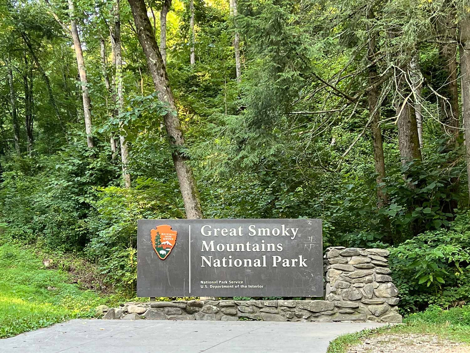
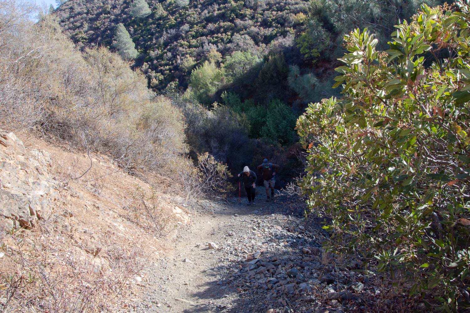
We made it to the park a little after 8 a.m.

Hiking in Great Smokey Mountain NP

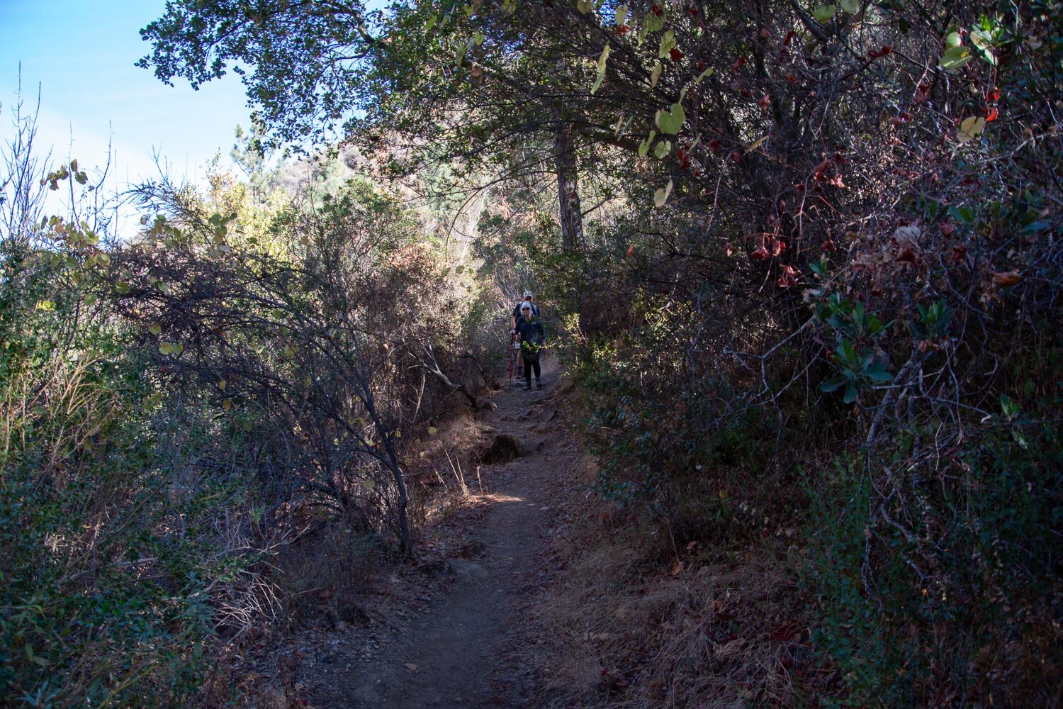
Our first hike was on a nature trail along Fighting Creek behind the Visitor Center.

There are several cabins and other buildings left in the park, although many are gone. This is the Ownby cabin. There was once a school, store, church, and post office in this area.

Sign in Smokey Mtn Visitor Center

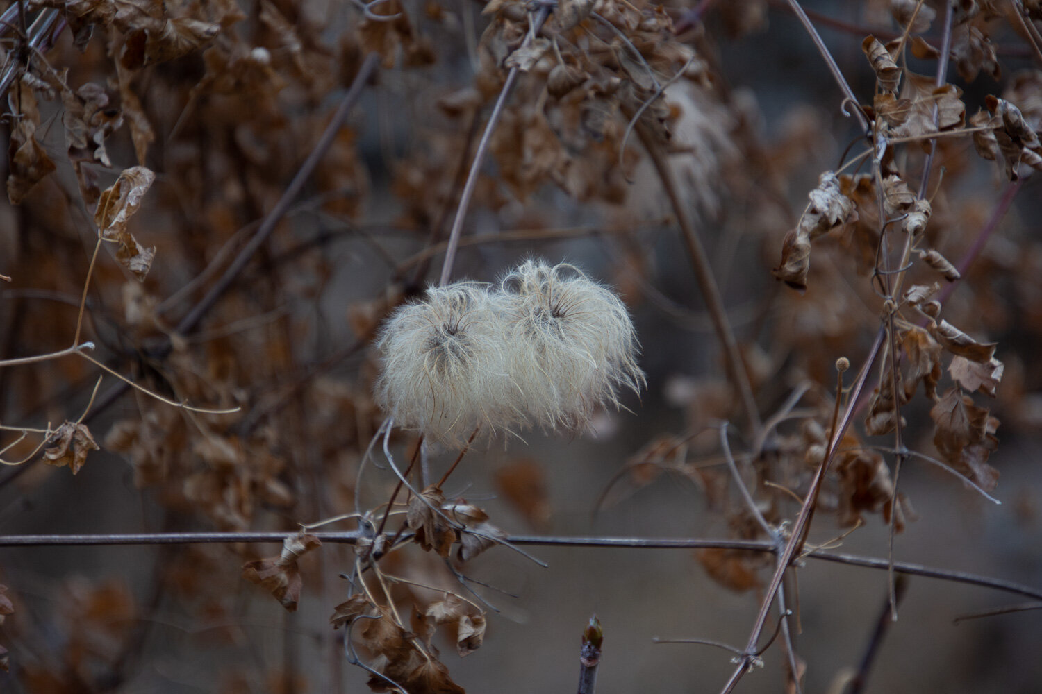
One thing that struck me when I first started walking on these trails, was the fact that I didn’t know any of the plants. All my hiking has been in the western states. I may not remember all the plant names at this point, but at least the plants are familiar. This was a whole different world. The Visitor Center has a display that describes five different forest ecosystems—Spruce-Fir Forest, Northern Hardwood Forest, Cove Hardwood Forest, Hemlock Forest, and Pine-and-Oak Forest. Sadly, there are also serious threats to many of these forests from infestations of non-native insects and fungus.

blue and black butterfly

The first of many species of butterflies that we saw.

fungus on decaying long

One of the signs said that mushrooms “reach record diversity” here. I took photos of some that I had never seen.

Large mushrooms on forest floor
Mushroom with bright red top
Mushroom with brown and yellow top
Three bright orange mushrooms next to a moss covered log.
Old cabin in Great Smoky Mountains NP

We took a short trail to the farm of Noah “Bud” Ogle, who lived here from 1883-1925.

Old barn in Great Smoky Mountains NP

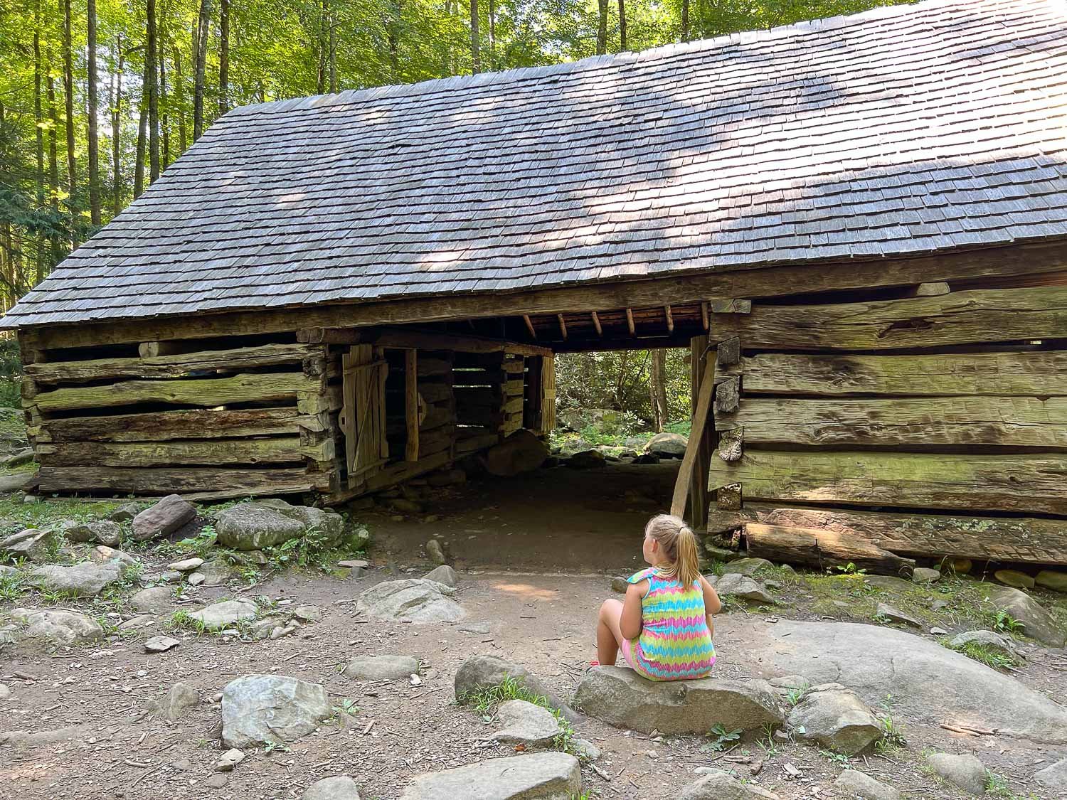
There is a barn and house still standing.

Hiking in the green forest of Great Smoky Mountains NP

Signs said that the forest is reclaiming the land which once included cornfields.

Old mill building in the forest.

The forest seems to be reclaiming this mill, complete with flume that directed river water to the grindstone.

Another view of the flume.

Two people standing in a rocky creek bed under trees.

At the end of this day we stopped at a place called The Sinks. This is a spot of cascading water on the Little River created in the early 1900’s when loggers used dynamite to break up a log jam in the river. My photo doesn’t show the rushing water but part of the river that provided a refreshing break for visitors.

We ended our day at a motel in Gatlinburg. To be continued…

Hiking at Bassi Falls

Monday we drove to Pollock Pines where we met up with our personal tour guides of the El Dorado National Forest, our son and DIL, who have both worked there for years. My brother and his wife (our recent Mt. Diablo hiking companions) met us there too.

I have always loved the way the creeks run in this granite landscape. When we have been here in the spring and summer Big Silver Creek runs with a lot more water.

The theme today seemed to be ice. The day was relatively warm but the amount of ice on the still pools and in the shade indicated that it’s been cold at night.

DSC_8698.jpg

Some of the ice was reminiscent of sparkly diamonds.

That prompted Matt to get down on one knee.

I can remember when water almost filled this area.

Matt brought his drone and took overhead videos.

Ginny is not a big fan of the drone. She barks at it and tries to chase it down.

Kaleena and Kirin in matching scarves.

Usually I take photos of flowers when we’re hiking, but it’s too late in the year now.

Like I said before, there were plenty of interesting ice shapes.

Why Matt thought it would be a good idea to get in the icy water, I have no idea.

I don’t know if invigorating is the right word for this ice bath.

Chasing Kaleena with icy hands.

After hiking further up the creek and hanging out on the granite it was time to head back. It was a lovely day in the forest.

DSC_8759.jpg

On the way down the mountain we took a detour off of Ice House Road up to Big Hill, the lookout and helispot where Matt used to work. This photo was taken from Big Hill and is the view back to where we had been hiking. Bassi Falls is slightly above center and to the left, below that granite mound.

This is the view southwest. You can just make out the peak in the background, rising above the smog layer. That is Mt. Diablo, 150 miles away.

DSC_8771.jpg

Looking northwest we could see the Coast Range in the background with the Sutter Buttes, about 130 miles away in the valley.

This is the same view looking east toward Bassi Falls, but is a panorama from stitching together three photos.

Hiking at Mt. Diablo State Park

I have lived in California for all my life except for four years in the late 70’s/early 80s and all that time in the Bay Area Counties. I have been at the edge of the Central Valley in Solano County for 35 years. From this area when you have a clear view looking south (away from hills and trees) you can see a large mountain. Mt. Diablo is 50 miles away and rises 3,849’ in elevation. The State Park now encompasses about 20,000 acres.

We met my brother and sister-in-law at the Mitchel Canyon Visitor Center (closed for now) and chose a trail.

DSC_8399.jpg

There are always plenty of warning signs at park trailheads…

…but this was a new one for me. No, we did not see any tarantulas.

We picked up the last map in the box at the start of the trail. Even with the map and plenty of signs it seemed to take a committee to figure out which way to go.

We started on a dirt road but soon turned off the road on the Mitchell Canyon Trail (or was it the Black Creek Trail or ?) Whichever it was, it seems as though they all went UP.

DSC_8418.jpg

My brother, Dave, recently got a new lens and has become a photography buff. That is good because then I wasn’t the only one stopping to take photos of random things along the way.

DSC_8407.jpg

This is not the season for the spectacular wildflowers that I’m sure will be here in the spring, but neverhtless there is a lot to catch one’s attention. Seed pods alone are interesting from the Clematis below left to California Buckeye above, the colorful Juniper berries, and the unknown (below right).

DSC_8421.jpg
DSC_8413.jpg
DSC_8415.jpg
DSC_8420.jpg

I saw only one plant blooming and you have to give the California Fuschia a lot of credit for blooming at this time of year.

Did I say that the trail went UP?

And UP? A lot of it was through the canyon filled with chaparral. With all the fires that burned through California this year it seems amazing that this landscape was spared.

We got to a top. Not THE top, but a top.

Once we got above the brush the view was incredible. Those white towers are the windmills near Birds Landing and Rio Vista.

DSC_8443-Pano.jpg

As we continued we saw more views. This is a panorama stitched together by Lightroom after getting home.

DSC_8448.jpg

We had been heading south but now the trail turned north. This view shows that the Park and adjacent county or state preserves are an oasis of nature in the middle of the surrounding urban centers.

The view to the south. I think that is the Mt. Diablo peak, although there was another peak to the left of this shot, so I’m not sure which is the real summit.

The view east. Can you see the snow-capped Sierras in the distance?

We knew which peak we were on. This is the view northwest.

We eventually headed downhill.

DSC_8479.jpg

But there were still more peaks to climb if one desired.

DSC_8488.jpg
DSC_8489.jpg

More map consultation too. Is this trail going to take us back to the parking lot or around another mountain?

DSC_8490.jpg
DSC_8499.jpg

A few of the last photos show another person with us. That is a young woman who lives in nearby Clayton and was venturing out alone. Way back near the beginning she saw us on the trail and asked directions. We told her that we’d never been here but we had a map, so she came along with us. We wondered later if she would ever choose to go hiking again after teaming up with all of us “old” folks who just kept at it for 7 miles, most of which seemed to be UP.

I was going to write more about some of the last photos but for some reason I can’t add any more text boxes to this post. Is that Squarespace telling me that the post is already long enough?

THE END.

High Mountains and Blue Skies

We celebrated my one year recovery from a serious accident by hiking in the mountains with our private guides (son and daughter-in-law who live near El Dorado National Forest and are both wildland firefighters in various capacities).

I’ve been seeing Instagram posts by my Artery colleague, photographer Jock Hamilton, about his hikes in the Sierras and the fabulous fall colors. I wanted to make sure we got there before the color was gone.

Daughter-in-law Kaleena planned the day. We met at their house outside of Pollock Pines and drove to a campground near Woods Lake not far from Carson Pass. Some of the photos in this post were taken by Matt or Kaleena.

DSC_7764.jpg

We took the trail to Winnemucca Lake.

There are some impressive trees along this trail. We saw a few junipers that must be several hundred years old.

It wasn’t too long before we got above the tree line and into the Mokelumne Wilderness.

The landscape was very dry even though we are in mid-October. The dogs were grateful that there was a small creek where there was still water.

DSC_7788.jpg

Matt brought his drone to get some aerial footage of the area. That’s it just above the big rock.

We have lift off!

DSC_7794.jpg

As she has does when Matt flies the drone here, Ginny went a little nutty chasing and barking at the drone…

…until I called her off. I didn’t like her barking disturbing the peacefulness of the area.

Winnemucca Lake. It was windy enough here that there were white caps on the water.

The trail continued on to other lakes. We were between 8500’ and 9400’ for most of this hike. The “kids” and dogs were ahead of us on this part.

Kaleena photo-9.jpg

Nothing will make you feel more out of shape than living at sea level and hiking uphill in the high mountains. This is the view back down to Winnemucca Lake.

There was a small amount of snow on the north side of this peak. We were after fall color and found it in the low plants growing along the trail.

If you get up high enough on the rocks near the trail then you can see Lake Tahoe.

DSC_7813.jpg

Just off to the left in the last photo but too far away to really see there are aspen that have changed color.

DSC_7820.jpg

The next lake was Round Top Lake surrounded by willows that have turned yellow.

DSC_7822.jpg

On the way down.

We found the site of the long-closed Lost Cabin Mine. One report says there is an old Model T there. I can’t identify this vehicle but Matt thought he’d try it.

Here is another massive juniper on the trail back to where we parked.

On the drive back to Pollock Pines we stopped at a couple of places to immerse oursevles in the brilliance of the changing aspens.

Kaleena photo-11.jpg

The glow of the trees in the sunlight is incredible.

Thanks to Matt and Kaleena for a truly great day!