Ironman 70.3 in Oceanside - Its a Family Thing

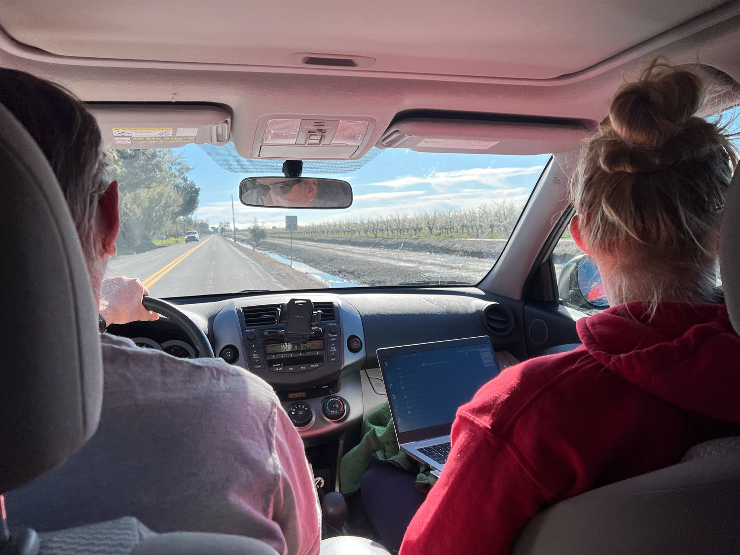
I would not have normally planned a 4-day trip during lambing season, but the date was set when my kids asked if they could give my husband a special Christmas gift. They wanted to enter a half-Ironman event as a relay team that included Dan. That was his Christmas surprise! The Oceanside Ironman 70.3 was April 1. Matt and Chris have both competed in Ironman events, full length as well as half. We have always gone to support them and now they wanted to include Dan in the event itself. Oceanside is about an 8-hour drive so we needed to leave on Thursday to be able to check in on Friday.

Katie flew in from Texas to be here for the family event. She went with us in the car while the others flew to San Diego.

Valley and hill covered in brilliant green grass with bright blue sky and white clouds.

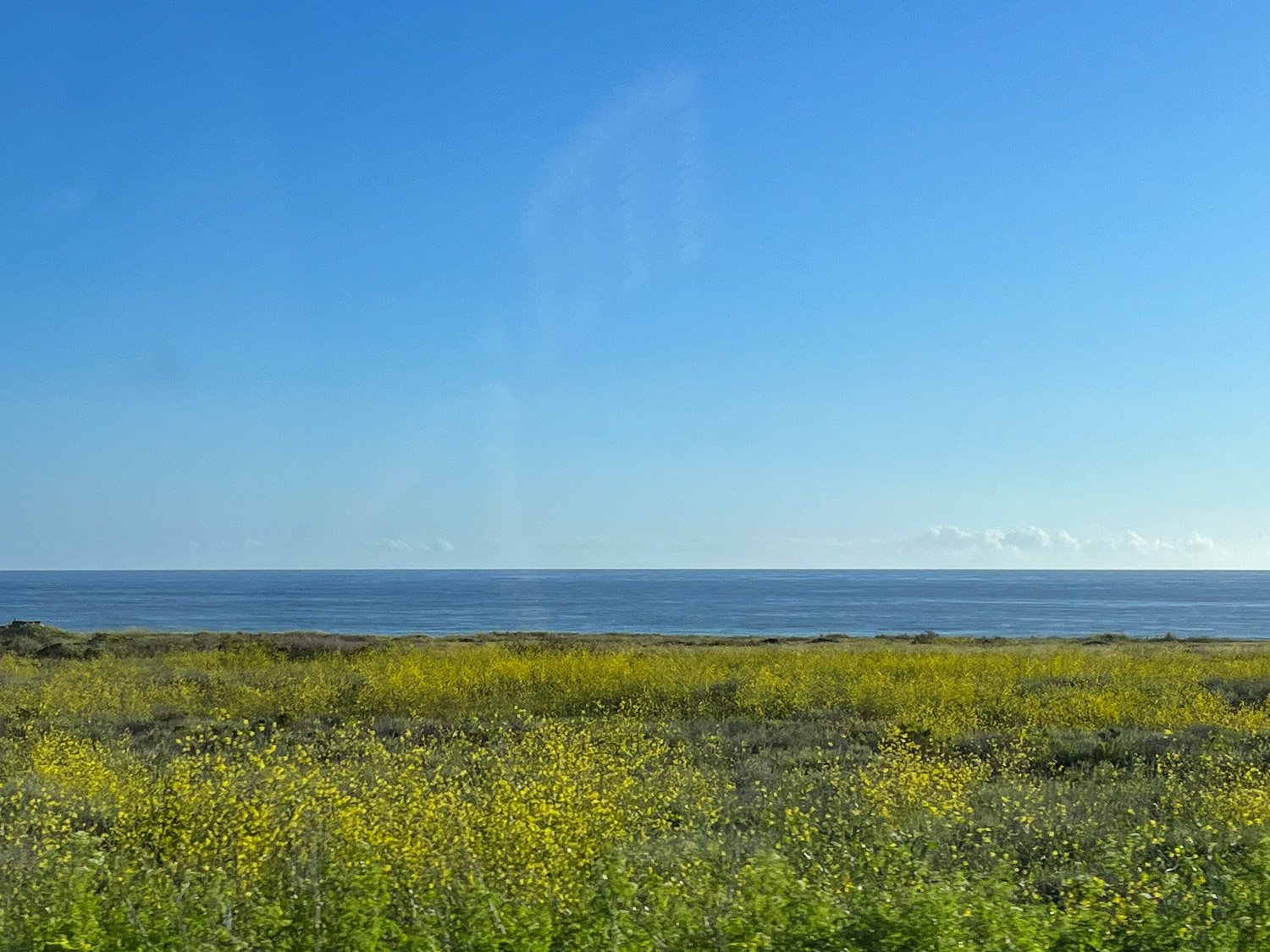
The recent (and seemingly nonstop) rain in northern California made for brilliant landscapes which I photographed from the back seat.

The brilliant green, blue, yellow, and white have given me ideas for planning a woven piece using those colors.

Getting into southern California we saw remnants of the unusual extreme weather south of us. No more travel photos because I have lots of others to share.

View of the ocean with yellow flowers in the foreground.

We got to Oceanside in the evening and had time for a look at the ocean. We always think of southern California beaches as sunny and warm. Sunny, yes. Warm, no. Just as in northern California right now, it was unseasonably cool…

…although wouldn’t guess that looking at the kids. (Thanks to Kaleena for some of this photo and some in the next posts.)

Ironman 70.3 in Indian Wells - Part 1

We spent a weekend away from the farm to hang out with Chris and Meryl at the Ironman 70.3 held in Indian Wells, near Palm Springs. They both signed up to do this event long ago but what with a move to Idaho and Life Complications they deferred to this year. Meryl is injured and didn’t compete but we all went to support Chris. Meryl flew to Palm Springs on Saturday morning and we picked her up before heading to the Ironman venue.

Grassy area with vendor booth and an arch that says Ironman Village.

This is a view of the entry to the Ironman Village. This staging area was at a huge tennis pavillion and is the location of the bike/run transition and the finish. The planning and infrastructure that is part of the Ironman event is astounding. As you look through these photos imagine all the work that happens behind the scenes prior to this event and all of the equipment needed to set up the venues. I wrote about the Sacramento Ironman in October here and mentioned some of the issues. They have held this event at Indian Wells for a few years now and they have eliminated all the pitfalls.

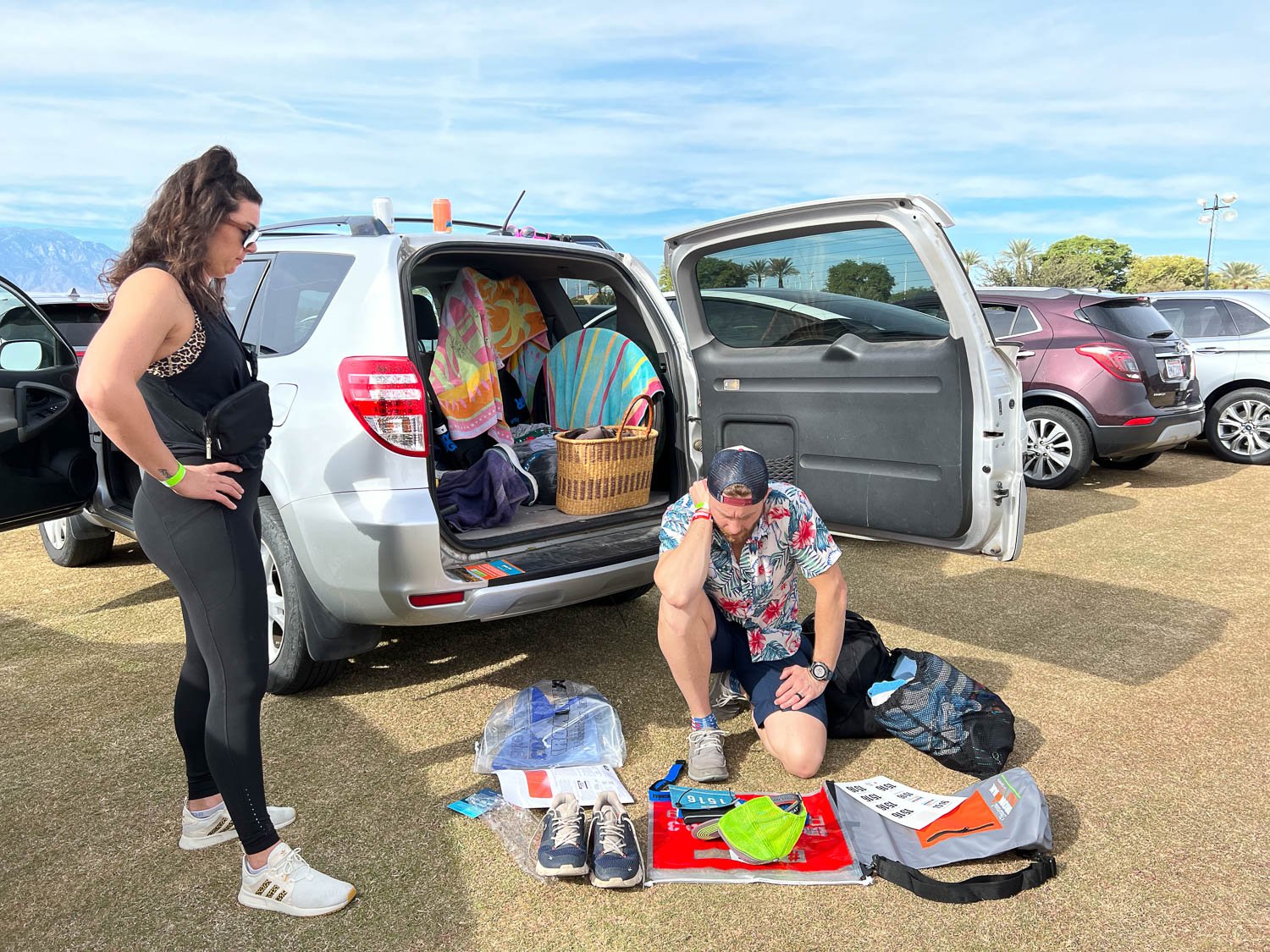
Chris spreading gear out on the parking area to attach stickers with his entry number.

Chris picked up the transition bags and a page of stickers with his number. The order of events is always Swim, Bike, Run. and the athletes try to get through the transitions as smoothly and quickly as they can—it’s all part of the accumulated time. In the Swim/Bike transition they have to strip off the wetsuit and pick up the helmet and cycling shoes and any other clothing or gear needed for the bike. They may change into other shorts or wear what they were wearing under the wetsuit, but maybe add sleeves or legs for cold weather. There are gear bags to hold the next outfit and to stash what is being left behind. Chris has experience with this so has it pretty well planned out, but it is important to get everything right. Each bag has the athlete number. There were over 1800 participants—that’s a lot of bags if they get mixed up.

People standing around an above ground plastic pool filled with water.

An unusual addition for this event was the decontamination of the wetsuits. This was to prevent introduction of the quagga mussel into the lake.

Three rows of wetsuits on racks with mountains in the background.

Wetsuits were held in chlorinated water for 15 seconds and then hung to dry. Each athlete was given a tag to attach to the wetsuit to show it had been dunked. On race-day morning no one without that tag was to be allowed in the water.

Putting numbered stickers on bike and gear.

The next step was to leave the bike and gear bag, all properly numbered, at the racks set up in the swim-bike transition area.

Sign that says No Swimming in front of a reservoir with hills in the background.

Before we left the lake for the day I noticed this sign.

We went back to the hotel and, wanting to give Meryl and Chris a chance to relax (and me not wanting to watch football for 4 hours), Dan and I went off in search of something to explore.

Life size sculpture of big horn sheep ram.

We drove not far out of town to the Visitor Center for the Santa Rosa and San Jacinto Mountains National Monument. This bighorn ram stands guard outside. The visitor center and the gates were closing in about 20 minutes so we did a brief walk along a nature trail nearby and then drove to a parking area where we could access another trail.

Highway sign of bighorn sheep along road against rocky slope.

The main road was far off but I was able to zoom in on this sign.

Sign on Rock that says Randall Henderson Trail with desert view in the background

We stopped at a 2.5 mile trail that makes a loop through the desert terrain.

Dan walking on dry sandy trail in the desert with dry hills in the background.

Starting out on the trail.

Desert trail with mountains in the background.

This is looking back towards the Visitor Center and the San Jacinto Mountains.

Close up of cactus with lots of spines.
Close up of cactus in desert landscape.

There are several varieties of cactus out here.

Sunset behind mountains with desert landscape in foreground.

It was getting to be dusk by the time we were ending the hike.

Brilliant orange and pink sunset over mountain silhouette.

We were able to enjoy a beautiful sunset over the distant mountains.

Hiking Close to Home

My brother called me last week and said he was hiking just north of Fairfield. He asked if I wanted to go hiking the next day. These are some photos from that morning.

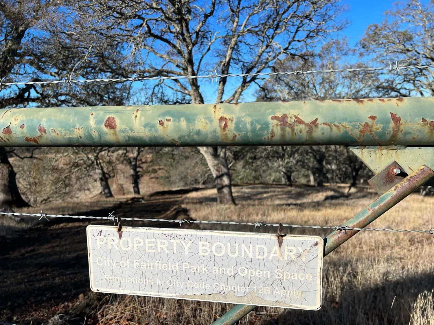
Property boundary sign hanging on barbed wire with oak woodland in background.

The hike is through the hills now covered with dry grass. Part of the landscape is oak woodland.

Man walking on dirt road across hills with dry grass.

A dirt road traverses the property. There is plenty of signs that cattle graze this area for part of the year. We didn’t see any livestock now.

Red Border Collie on dirt road near hills with dry grass.

This is a view looking south. You can barely make out the wind turbines on the horizon.

Man and dog on dirt road next to large oak tree.

We spent a lot of time near this tree trying to get photos of the ruby-crowned kinglet that was flitting around the branches.

Small bird peering out of oak tree branches.

It is a bird that doesn’t stay in any one spot long enough for a decent photo. My bird book says “Kinglets are active, nervous birds, constantly flicking their wings rapidly.” So it’s not just me and my photography skills.

Small  bird with wings fluttering in mid-air under oak leaves.

I took more than a dozen photos of this one bird and ended up with these.

I don’t know how he did it, but my brother got this one.

View of Mt. Diablo in the distance with dry hills  in foreground.

That’s Mt. Diablo in the background and the Suisun Marsh in the middle. You can barely make out three dark shapes at the edge of the water just below the far-away hill on the far right of the photo.

View of city buildings and marsh from hill vantage point with power lines in foreground.

This is a close-up view. The three dark shapes are large ships, part of the “mothball fleet”. in the Suisun Bay. Those are old ships that are no longer needed but were kept in reserve for years. This link discusses some of the environmental issues that resulted from letting these old ships deteriorate in place for so many years.

Woman and two dogs on dirt road through oak woodland.

Another view from the hills. That’s Ginny and Dave’s dog, Daisy.

Looking southwest.

Dog drinking out of round water tank.

Everything is so dry now it was good to have a water tank that the dogs could reach.

Jepson Prairie

Jepson Prairie Preserve sign

Jepson Prairie Preserve is a unique ecosystem on the western edge of the Sacramento Valley, managed by Solano Land Trust. It features claypan vernal pools and the associated plants and aquatic life that have evolved to survive in that ecosystem. Vernal pools form from rainwater but dry up in the Central Valley hot dry summer.

I like to visit Jepson Prairie once each year during the wildflower season, but it is worth more than one visit. I visited a couple of weeks ago when there was a docent-led tour and enjoyed it immensely. It was an informal tour but great fun to have an expert there to identify plants and relate more info.

Natural Landmark sign at Jepson Prairie
Goldfields at Jepson Prairie Preserve

When you see masses of flowers like these Goldfields it is stunning, but when you look more closely you see so much more.

Docent guides at Jepson Prairie on hands and knees looking at small flowers.

Sometimes that means getting on hands and knees. It was fun to walk around with people who were interested enough to look closely like this.

White hyacinth.

Bakers' Navarretia flower

Baker’s Navarretia.

Vernal Pool Popcorn Flower at Jepson Prairie.

Vernal Pool Popcornflower, endemic to California vernal pools. Flowers are only 1/4” across.

Blow Wives  in seed

This flower is only showy when it is in fruit. What looks like white petals are the pappus at the top of each seed. The green objects in the lower right corner are Blow Wives flowers—the small yellow flowers are inside the green part.

Cupped downingia flowers at Jepson Prairie.

There are several species of Downingia at Jepson Prairie and it sometimes takes close observation to tell them apart. Cupped Downingia has long anthers and the bees that pollinate the flowers have to hang upside down to gather pollen.

Vernal Pool Goldfields.

You can see Popcorn Flower and Navarretia here, but do you notice that round pale green plant? Those are flowers called Woolly Marbles. I read that later the leaves fully enclose the flower and it really does resemble a woolly marble.

Downingia flower

Another Downingia flower that looks a lot like Cupped Downingia, but is a paler flower

Mariposa Lily at Jepson Praire

Yellow Mariposa Lily (Calochortus luteus).

Several small flowers at Jepson Prairie

Downingia, Goldfields, Navarretia, and Brass Buttons.

Goldfields ring Olcott Lake at Jepson Prairie

At the time of this visit many flowers had dried out, but the goldfields were still striking. As the water in the lake evaporates, different flowers bloom.

Immature California Tiger Salamander

Jepson Prairie is home to more than pretty flowers. At the start of the tour one of the docent volunteers shared creatures he had dipped from Olcott Lake (to be put back after the tour). This is the immature California Tiger Salamander. These salamanders spend most of the year underground in rodent burrows.

I enjoyed my time here so much that I went back on the next Sunday (a week ago). Stay tuned for more photos.

Above the Fog

Last Tuesday I met up with a cousin for a hike. We chose a place about half way between us—Jack London State Historic Park. Its only about an hour from here but I had never been there. What a great day! It had been foggy in the valley for days—that thick drippy fog that lasts all day. We found the sun!

There are 29 miles of trails in the park and we kept checking the map as we ran into intersections. This trail is part of the 400 mile trail system designated Bay Area Ridge Trail. That makes me think I have a lot more exploring to do in my own backyard.

The mist is a sign that there is still a lot of moisture in the air and on the ground.

We were impressed with the size and color of these leaves.

There are several ecosystems here—including grassy meadows, oak woodland, redwoods, and streams.

The fog was still there in places but here we were above it.

There are seeds sprouting in this dry thistle. I’ve never seen that but maybe it’s because I’m usually hiking in the spring, before seeds are even formed, and summer when it is dry and nothing is going to sprout.

It reminded me of a chia pet or a container of sprouts.

I didn’t take my usual number of photos and I didn’t get one of Carol and me. I slipped in one place and twisted my already injured knee. So I was paying such close attention to footing and getting back when we needed to that my photo mojo was left behind.

But this was a great place for a hike and a great time with my cousin whom I hadn’t seen in years. I definitely want to do it again!

More Wildflowers at Table Mountain

About a week ago I shared photos from our first visit to North Table Mountain Ecological Reserve. We returned earlier this week and explored part of the Reserve that we had not seen last time.

DSC_1582.jpg

This view isn’t far from the parking lot. We followed the trail that heads to South Mesa.

DSC_1593.jpg

That trail heads through more of the oak woodland before breaking out onto the mesa.

DSC_1613.jpg

On the mesa we had a view of the Sacramento Valley and the Sutter Buttes. We wanted to follow the trail marked on our map as the Many Waterfalls loop, but maybe the key word in the description of this route was “cross-country”. There doesn’t seem to be a very defined trail that isn’t just another cow trail. But we knew we wanted to head to the rim of the mesa and follow that rim to see the marked waterfalls.

DSC_1622.jpg

We saw expanses of yellow on the mesa.

Dwarf stonecrop.jpg

This flower is Dwarf Stonecrop.

DSC_1627.jpg

It is a relatively small flower but en masse it is quite impressive. It is the dominant species in the bright yellow strips. Goldfields makes up the more orange parts.

DSC_1630.jpg

Goldfields interspersed with Tidy Tips and lupines.

DSC_1631.jpg

This is the Tidy Tips up close.

DSC_1634.jpg

Another view of the valley and the Sutter Buttes. We’re getting closer to the edge of the mesa and Table Mountain.

DSC_1640-Pano.jpg

This is a panorama view of the same location.

DSC_1646.jpg

We came across useful signs occasionally but it would have been good if we had an app to show us exactly where the GPS coordinates were. We’ll have to figure that out for next time. We missed some of the trails that we had planned to take because in some places it was hard to know where there was actually a trail. We ended up hiking about 8-1/2 miles instead of the 11 miles marked on the map.

DSC_1647.jpg

The sign above is describing this formation, appropriately called Crevice Falls. Surprisingly there was still some water in some of these. There must be water flowing from springs that run through the basalt layer.

DSC_1664.jpg

I realized that Ladder Falls was not named for the creek bed of the waterfall but because there is this old pipe ladder to enable people to access the trail.

DSC_1682.jpg

This trail took us back through more oak woodland grazing area. There are some very large old oaks throughout this part of the reserve.

Frying pans.jpg

After our last visit I bought a book that describes the flowers and ecology of North Table Mountain. That was helpful in identifying some of the photos I took. This is a poppy species called Frying Pans.

Kellogg's Clarkia.jpg

Kellogg’s Clarkia.

White-headed Navarretia.jpg

White-headed Navarretia.

Cowbag clover.jpg

I knew I had to find this flower when I saw it in the book. It’s called Cowbag Clover and if the photo was better you could see that, yes, it looks like an upside down cow udder.

Butter-and-eggs.jpg

This flower is known as Butter-and-Eggs. That is one I already knew from having seen it in other areas.

We spent a beautiful day hiking here and I look forward to returning next winter and spring.

Wildflowers in Northern California

Last week we explored a place that was new to us. Dan had ridden his bike through this area in the Wildflower Century in past years, but had seen it only from the road. This is North Table Mountain Ecological Reserve, 3300 acres owned by the state, 3 miles north of Oroville. The state purchased the land to preserve the unique Northern Basalt Flow Vernal Pools and the rare species of plants that grow here.

DSC_1357.jpg

There is a parking area but people were already parking along the road because the lot was full. We parked along the road and walked to the Reserve. This was our first view of the spectacular wildflower display and this wasn’t even part of the Reserve.

DSC_1358.jpg

I am so used to visiting National or State Parks that have complete visitor centers and well-defined trails that I was surprised to discover that there are lands accessible to us that are not part of the park systems. There were a few signs that indicated the direction and distance to a few waterfalls (surprising to me in this area) but no other interpretive signs.

DSC_1392.jpg

I read later that this area has been grazed by cattle for at least 45 years and that grazing is part of the current management strategy to help control non-native species and maintain the ecology of the area.

DSC_1395-Pano.jpg

This is one of two panoramic shots I created.

DSC_1398.jpg

There were great swathes of purple and yellow and orange. These are lupines and I’m not sure which yellow flower this is—Great Valley Buttercup or Goldfields? I’ll need to pay better attention next time I’m there instead of assuming that I’ll remember each flower in my photos.

DSC_1401-Pano.jpg
DSC_1420.jpg

Lupines and I think poppies and popcorn flower.

DSC_1429.jpg
DSC_1433.jpg
DSC_1438.jpg

Purple Owl’s Clover.

DSC_1439.jpg

Poppies, but I can’t tell you which poppy—there is more than one on the list of wildflower species that occur here.

Sierra mock stonecrop.jpg

Sierra Mock Stone Crop. This flower seemed to be growing right out of the rocks—certainly with minimal soil to sustain it.

Dark-stained prettyface.jpg

This one is called Dark-stained Prettyface.

DSC_1441.jpg

Purple owl’s clover and poppies

DSC_1442.jpg
DSC_1443.jpg

The flowers are beautiful individually and close-up, but what looks at what you see at a distance:

DSC_1445.jpg
DSC_1450.jpg
DSC_1454.jpg

It was a suprise to me that there are several waterfalls here, short-lived as they are in this climate, especially with the minimal amount of rainfall that we’ve had this year. I don’t suppose the will last long this year.

We plan to return here before the flowers disappear this spring.

Colusa Wildlife Refuge

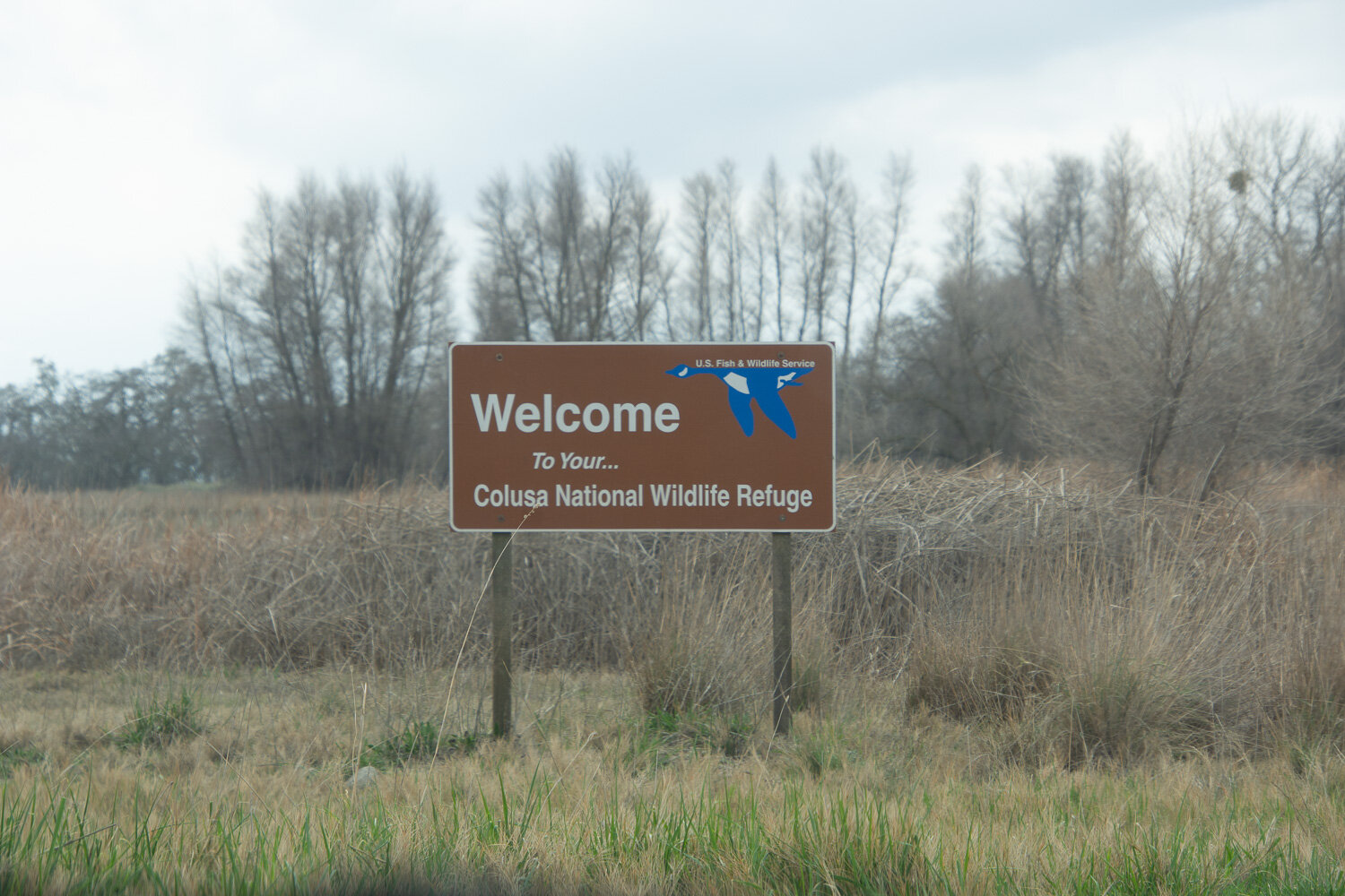
On Monday we drove to Yuba City (an hour away) where I had been able to schedule a COVID vaccine appointment at the CVS pharmacy. We made the most of the day be combining the appointment with a visit to the Colusa National Wildlife Refuge. I have driven past the wildlife refuges along I-5 for years but have never stopped and now I want to make sure that we go visit all of them. These can be mini-road-trips in a year when we may not be able to take a real road trip.

DSC_0215.jpg

I wish I’d had my camera nearby for the whole drive. I think we passed up a lot of interesting views, but I had my camera ready when we drove past this barn.

DSC_0222.jpg

There are five refuges in the Sacramento National Wildife Refuge system (dark green on this map) and there is also a state refuge which is not shown here. Maybe we’ll make it to another when we go back to CVS for our second vaccination.

DSC_0217.jpg
DSC_0218.jpg
Greater White-fronted Goose-2.jpg

The first bird we saw was a Greater White-fronted Goose.

DSC_0224.jpg

There is a 3-mile auto tour and a short walking trail. We started with the walk, some of which was blocked off.

DSC_0223.jpg

You aren’t supposed to get out of the car on the auto tour route, but there is a parking lot and observation platform at the beginning of it. There seemed to be a greater density of birds at this location than later on.

I had to do most of my bird ID after I got home and could look at my photos with my bird books in hand. Feel free to correct my IDs if they are wrong.

DSC_0226.jpg

Snow Goose or Ross’ Goose? We couldn’t decide if the brownish face on many of the white geese was the natural coloring or staining from poking around in the mud. But one of my bird books shows that tan face on the Snow Goose photo.

DSC_0225.jpg
DSC_0245.jpg

On the other hand the book described the Ross’ Goose with a smaller pink bill. Is that what I see here?

DSC_0248.jpg

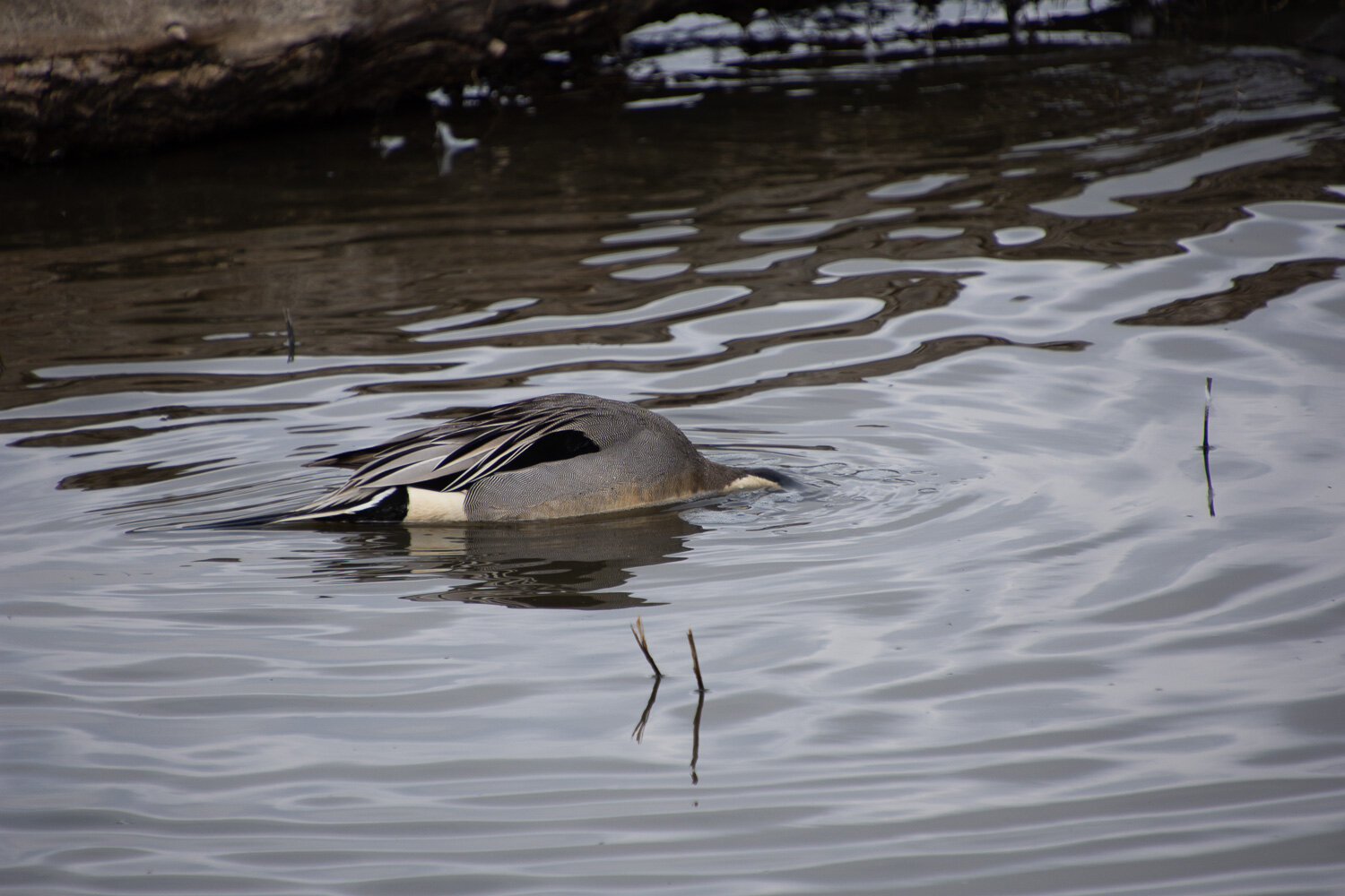
It’s a challenge to identify birds when this is the view.

DSC_0242.jpg

Or this view.

Northern Pintail.jpg

I figured out that the last one was a Northern Pintail after I identified the bird in this photo.

Northern Shoveler.jpg

Northern Shoveler.

Greater White-fronted Goose.jpg

Greater White-fronted Goose.

American Coot.jpg

American Coot.

White-faced Ibis m.jpg

I had a hard time matching this one up to what is in my books. The curved bill and coloring have me leaning toward the White-face Ibis, but I don’t see a white face. Maybe some other Ibis?

Great Blue Heron.jpg

Great Blue Heron.

Black-crowned Night Herons.jpg

I was surprised to see the crowd of birds roosting.

Black-crowned Night-Heron.jpg

I finally figured out that they are Black-crowned Night Herons. The description in the books fit as does the statement that they roost in trees during the day.

I look forward to getting the second vaccine for more than one reason. Hopefully we can fit in a trip to another refuge before we start to feel any disagreeable side effects from the vaccine.

Horsetail Falls

Last Friday was National Hat Day according to my special calendar. My kids had written in “while wearing a warm hat go to M&K’s for a hike”. We met them and my brother, Dave, in Pollock Pines. We had intended to go snowshoeing but found the intended destination to be up a slippery icy road and we changed plans.

DSC_9470.jpg

If you have driven west on Hwy. 50 from South Lake Tahoe then you might know the big waterfall that you see north of the highway as you go down the big switchbacks before the highway heads due west. That is Horsetail Falls. We weren’t far from there and decided to hike that trail.

This is a close-up of the warning in the middle of that map. For us the biggest difficulty was the icy granite.

We brought the snowshoes thinking that we might use them, but it didn’t take long before we realized they weren’t necessary and Matt stashed them off the trail.

Dave helping with trail maintenance (picked up the sign that had tipped over).

DSC_9482.jpg

This is the view looking south and west. The highway is in the canyon below the trees. You can see snow on the northeast facing slopes…

…but when you look north you see how little snow there is on the south and west facing slopes. This is January and it’s scary to see what how dry it is.

It was also unseasonably warm. I was wearing a base layer of wool on top and bottom plus a wool sweater. I was overdressed.

This is Pyramid Creek that drains from the Pyramid Peak area which is beyond the falls.

Matt doing his part to keep the trail clear of boulders.

Dave tried to venture closer to the falls. We decided to not go further. There isn’t much of a trail—instead it is a lock of climbing over rocks and even though the weather was warm there were a lot of icy spots on the granite. It felt a little treacherous at times.

The water in the deeper pools of the creek looked incredibly green.

The description of emerald comes to mind.

On the way back down. This is almost the same view as one of the first photos, but you can see the highway where it switchbacks up the mountain.

We took a little time for artistic license. Kaleena filmed Matt “rock climbing” and it looks incredibly real when you see her video—that is until Kirin (dog) walks into the scene.

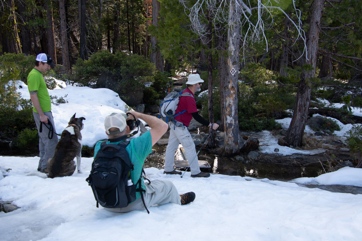
Dave’s artistic idea was to have everyone pose as the hiker in the sign on the tree.

DSC_9572.jpg

We’ll see what he comes up with when he finishes his video.

Usually I take lots of photos of plants and other components of the overall scene. Not so much this time because I felt encumbered with gloves, trekking poles, and not slipping on the ice. But this brilliant red cedar caught my eye.

Exploring Berryessa-Snow Mountain National Monument

Long-time followers of this blog know that we love visiting our National Parks and National Monuments. There is one in our own backyard that we have hardly seen. Berryessa-Snow Mountain NM was created in 2015 and encompasses 330,780 acres. The website states: “Public lands managed by the Bureau of Land Management and Forest Service in the Berryessa Snow Mountain National Monument are some of the most scenic and biologically diverse landscapes in northern California. They range from rolling, oak-studded hillsides to steep creek canyons and ridgelines with expansive views.”

My wool was ready at Mendocino Wool and Fiber in Ukiah and we decided to pick it up rather than have it shipped and then have an afternoon of hiking on the way back. I researched (googled) where to hike and found some trails that were in the southern part of the Monument.

We decided to try the Judge Davis Trail in the Cache Creek area. According to the AllTrails that would be a 5 mile out and back trail for a total of 10 miles.

There were some signs in place, but it wasn’t until I started sorting these photos that I finally realized that we weren’t on the trail we thought we were. The very limited map I had printed from a computer screenshot was from the non-paid for access to AllTrails that showed Cache Creek Ridge and Judge Davis trails. It turns out that they were two separate trails and we didn’t even see the start of the Judge Davis trail from where we parked. No big deal—I just like to be accurate.

SnowMtnNM-CacheCreekTr-1.jpg

I’d read reviews of the trails in this area that warned about ticks (especially if you are hiking with dogs) and lack of shade and water. At this time of year we certainly didn’t need to worry about shade, but I can see how that would be a huge concern in the summer. This is a hot, rugged landscape.

Another sign—we were entering an area designated wilderness. I found it interesting that hang gliding is on the list of unacceptable activities in this area.

According to an app on my phone I think we’d gone about 2.5 miles be the time we saw this sign that pointed to the Judge Davis Trailhead (ahead of us on the trail).

There was a trail that took off to the left and this was the sign, burned in one of the previous years’ fires. We could barely make out that it says Cache Creek 4 miles. Acccording to the map I had we didn’t think the Judge Davis Trail made a loop so we continued down this Cache Creek trail.

SnowMtnNM-CacheCreekTr-16.jpg

The view to the northeast. The only other people we saw were on a trail near the ridge in this photo.

Along the trail in some areas I saw small bits of fluff caught on the brush. It was the most dramatic here and I wondered which animals were the right height to be rubbing and lose some undercoat. My guess is that it is the elk that had bedded down nearby.

View northwest. I’d like to know what mountain that is. We thought that Cache Creek is over a few ridges to the left of where we were standing. It was getting later in the day and we decided that we should probably turn back since we had to follow this same trail back and with all the uphill it would take awhile. The phone app said that we’d gone about 3.5 miles.

SnowMtnNM-CacheCreekTr-27.jpg

View south.

On the earlier part of the trail there was a lot of manzanita that glowed red in the sun.

Back at the parking lot I took a photo of this sign and we saw the beginning (and end) of the Judge Davis Trail, a short distance from the trail that we had taken. . I finally matched up the trails with our printed map. The trail we took is the one on the right side of that blue square and I think the signs we saw were at the junction where you can continue south or go northwest to the Judge Davis trail. We went south but not all the way. Now we’ll have to go back and try again. I’m sure the wildflowers will be fantastic in a few months.


Hiking at Bassi Falls

Monday we drove to Pollock Pines where we met up with our personal tour guides of the El Dorado National Forest, our son and DIL, who have both worked there for years. My brother and his wife (our recent Mt. Diablo hiking companions) met us there too.

I have always loved the way the creeks run in this granite landscape. When we have been here in the spring and summer Big Silver Creek runs with a lot more water.

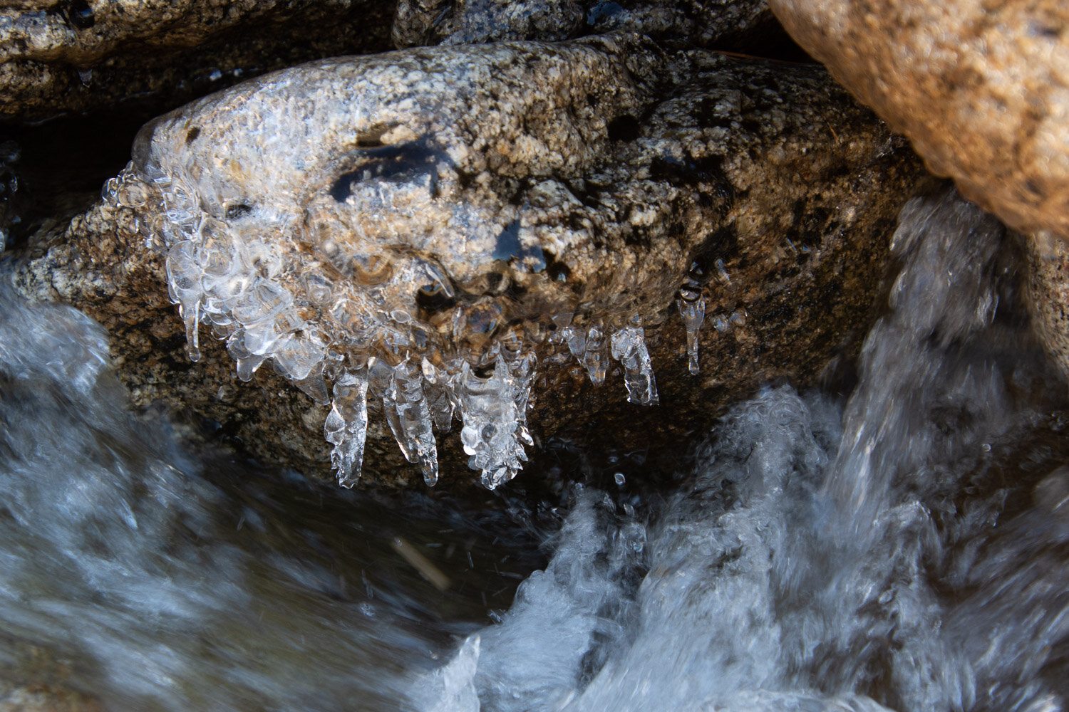
The theme today seemed to be ice. The day was relatively warm but the amount of ice on the still pools and in the shade indicated that it’s been cold at night.

DSC_8698.jpg

Some of the ice was reminiscent of sparkly diamonds.

That prompted Matt to get down on one knee.

I can remember when water almost filled this area.

Matt brought his drone and took overhead videos.

Ginny is not a big fan of the drone. She barks at it and tries to chase it down.

Kaleena and Kirin in matching scarves.

Usually I take photos of flowers when we’re hiking, but it’s too late in the year now.

Like I said before, there were plenty of interesting ice shapes.

Why Matt thought it would be a good idea to get in the icy water, I have no idea.

I don’t know if invigorating is the right word for this ice bath.

Chasing Kaleena with icy hands.

After hiking further up the creek and hanging out on the granite it was time to head back. It was a lovely day in the forest.

DSC_8759.jpg

On the way down the mountain we took a detour off of Ice House Road up to Big Hill, the lookout and helispot where Matt used to work. This photo was taken from Big Hill and is the view back to where we had been hiking. Bassi Falls is slightly above center and to the left, below that granite mound.

This is the view southwest. You can just make out the peak in the background, rising above the smog layer. That is Mt. Diablo, 150 miles away.

DSC_8771.jpg

Looking northwest we could see the Coast Range in the background with the Sutter Buttes, about 130 miles away in the valley.

This is the same view looking east toward Bassi Falls, but is a panorama from stitching together three photos.