Christmas, 2018
/What a relief to have the lead-up to "the holidays" over. When you're in a business that counts on sales during one month and those sales are dependent on 1. how many things you are able to make, and 2. how well you market your business, the pace becomes more and more frenetic. So Christmas Day for me was a relief. Work was over. The house was clean (as clean as it gets) and fixed up (after we've lived here for almost twenty years and finally replaced floors and some windows.) We had pretty Christmas lights outside. The weather was beautiful. The food was easy to prepare (don't peel potatoes this year and see how it goes--it went fine). Best of all family was here (except missing the TX branch).
Here are snapshot photos of the day.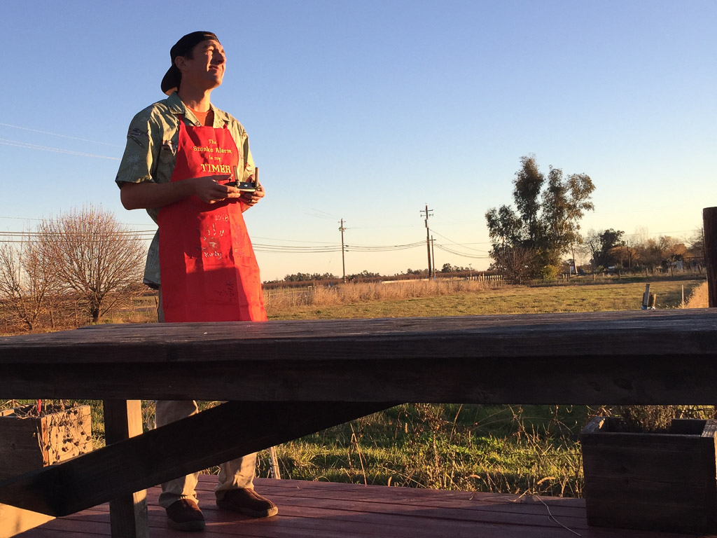 Matt brought his drone.
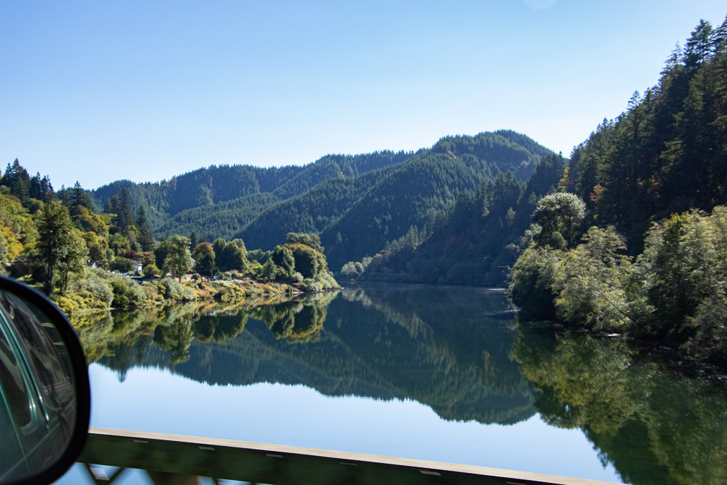
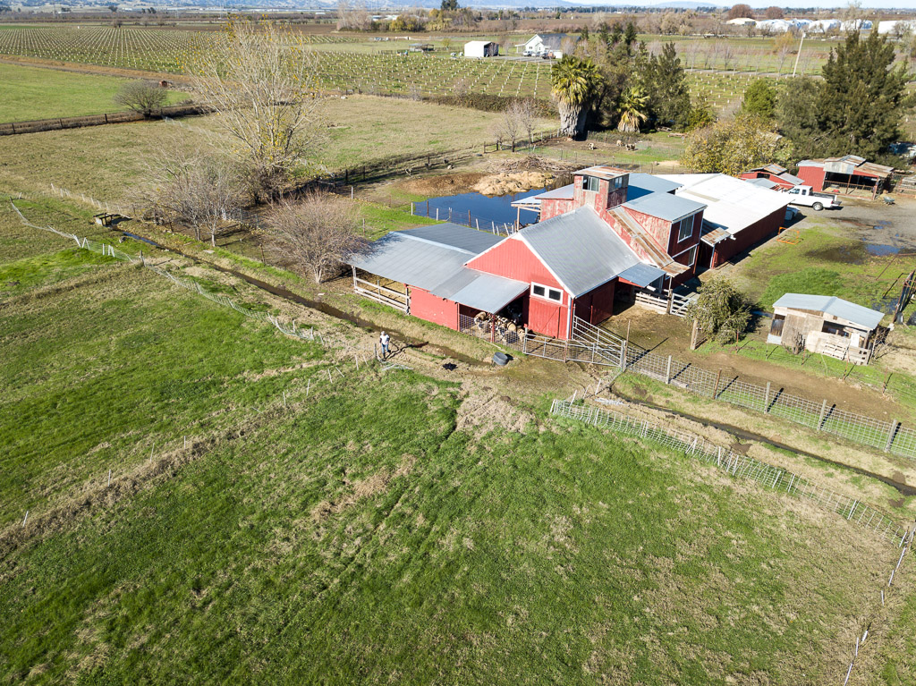 The sheep have been in the barn and corral area for the last month because the pasture is soggy and I'm waiting for the grass to get some growth, but I set up the fence to let them out onto part of it for the day.
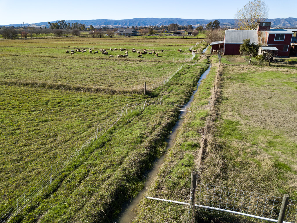 The drone gives us a great view of the property. There is a video taken with the drone on my website.
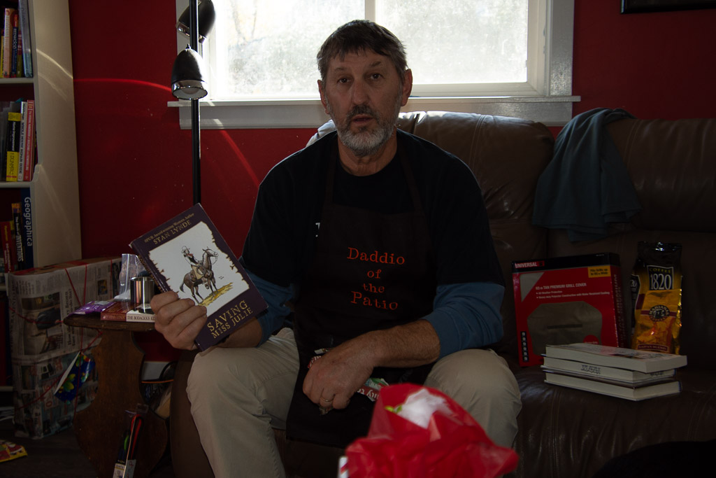 We opened gifts. I bought Dan a series of used books that are by author Stan Lynde. Our last name is unusual and we had found a book by this author on our most recent road trip. Dan got about half way into it and found that pages 140-180 were repeated and 180 to 120 were missing. When I looked into replacing the book I found that the author was dead, his publishing company no longer existed, and that there were about 7 or 8 books in the series. So I hunted them all down and wrapped up the Stan Lynde books for Dan Lynde.
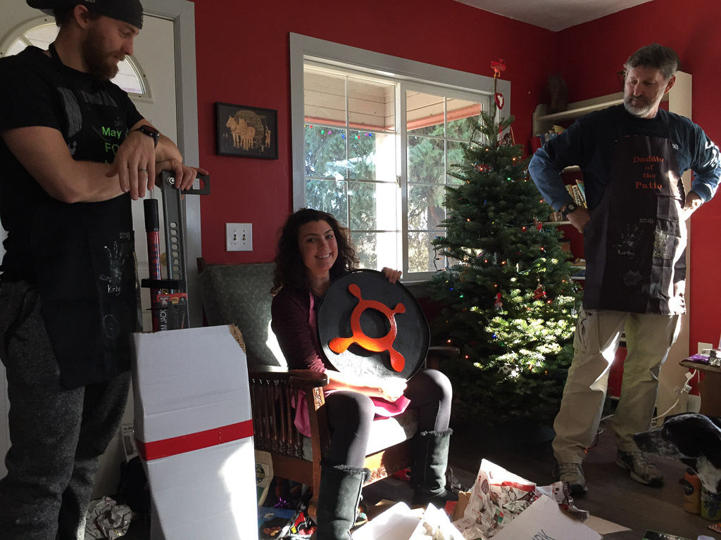 Dan made DIL, Meryl, a marker for her parking spot to reflect her new job as an Orange Theory coach.
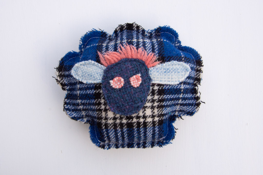
 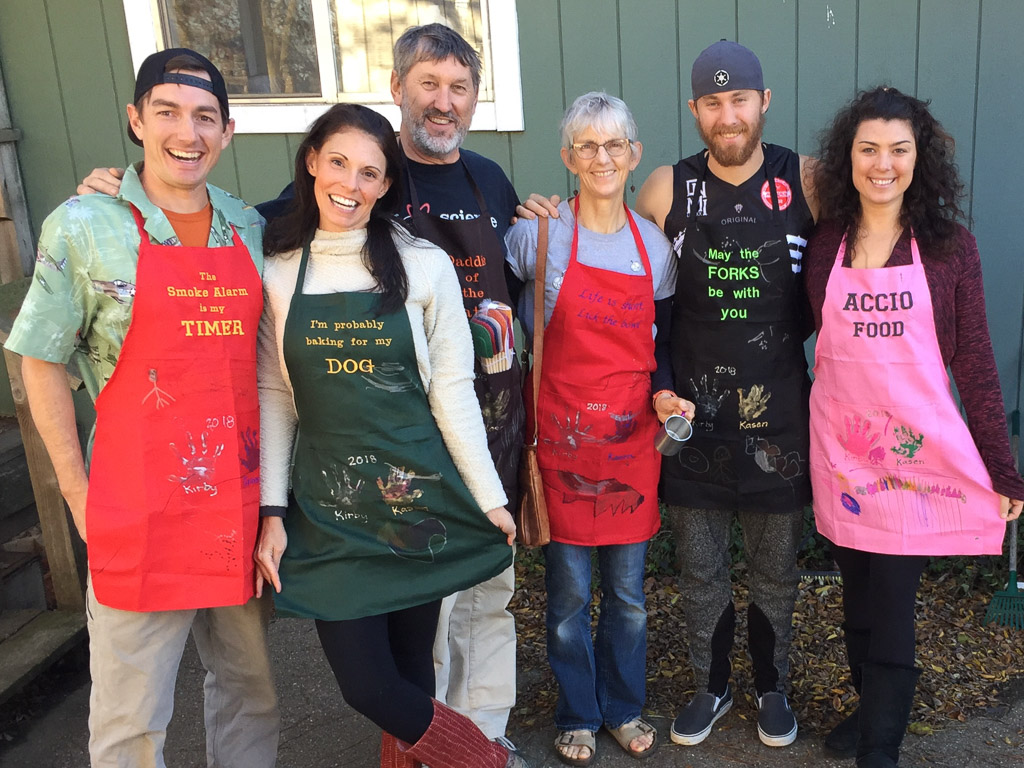 My daughter sent us all aprons embellished by the grandkids.
 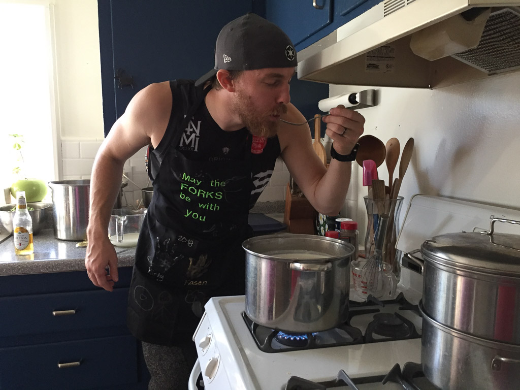 Time for getting dinner in the oven. Chris, mac and cheese lover that he is, has become a cream sauce expert.
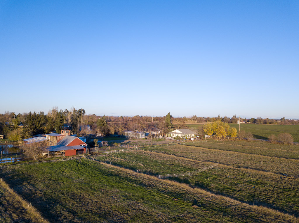 While dinner was cooking we went out for another drone session...
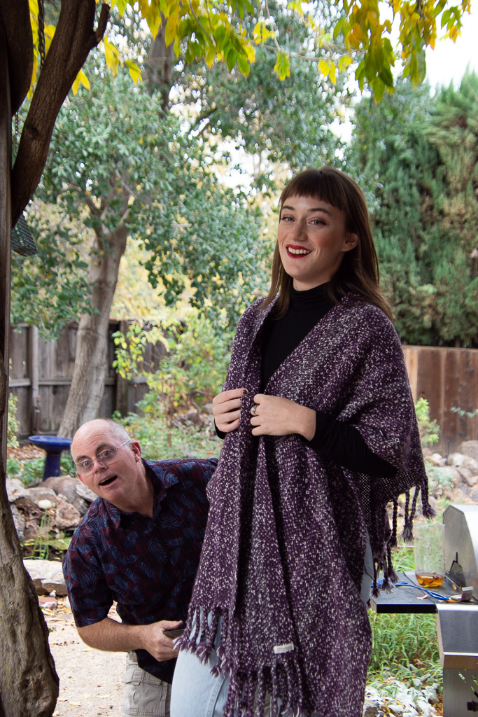
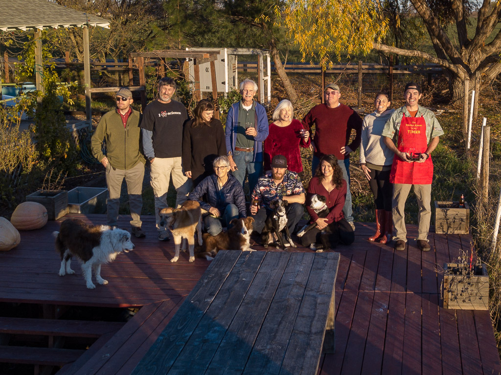 ...and a family photo.
 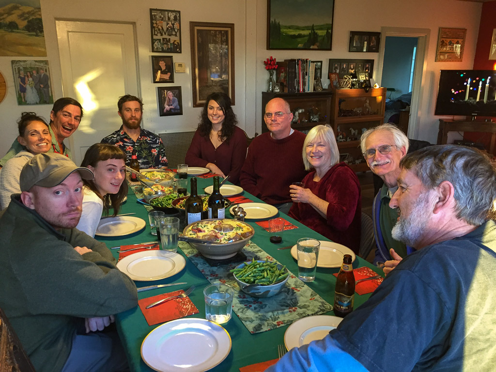 Dinner on the table.
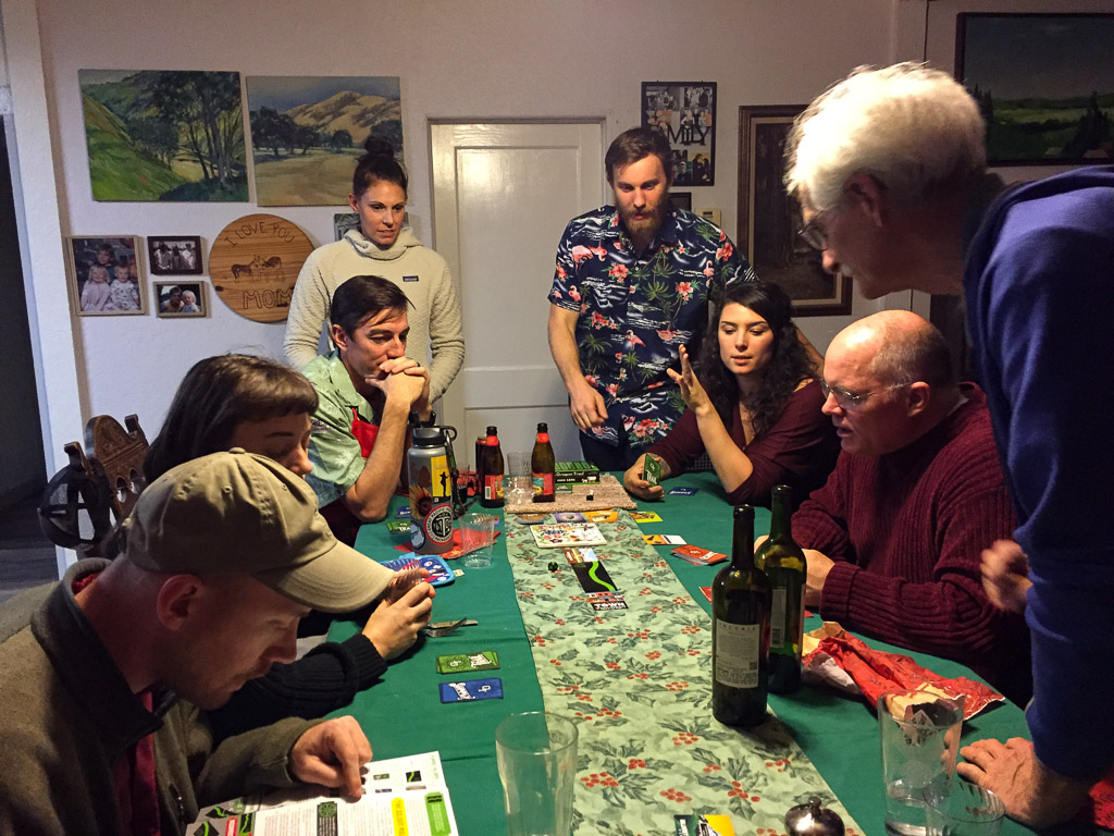 We may have started a new tradition with a game from Santa. It's a card game based on the old computer game, The Oregon Trail, that my kids loved to play years ago.
 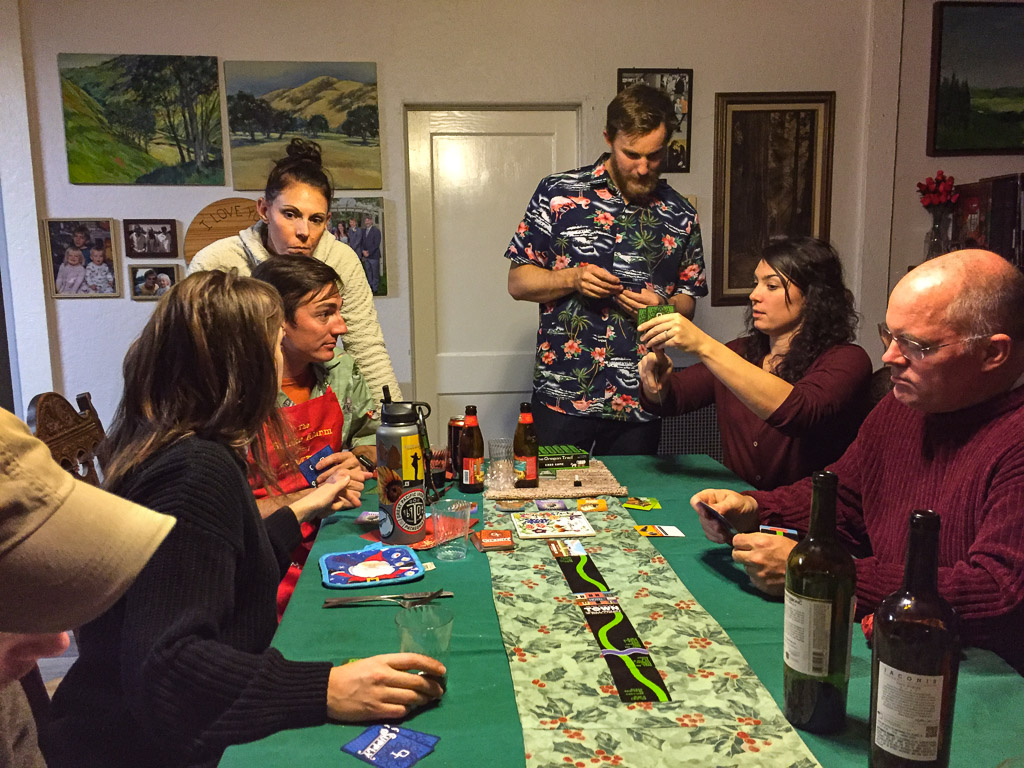 You can play with up to six players so we created teams so that all 11 of us could play. We may study the rules between now and the next time we play. Our wagon team eventually all died--there may be better strategy than we used.
 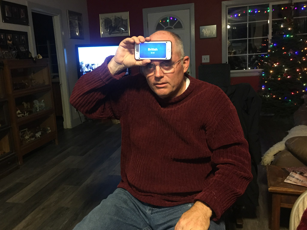 After pies (pumpkin and apple) we moved onto a game my niece has on her phone.
 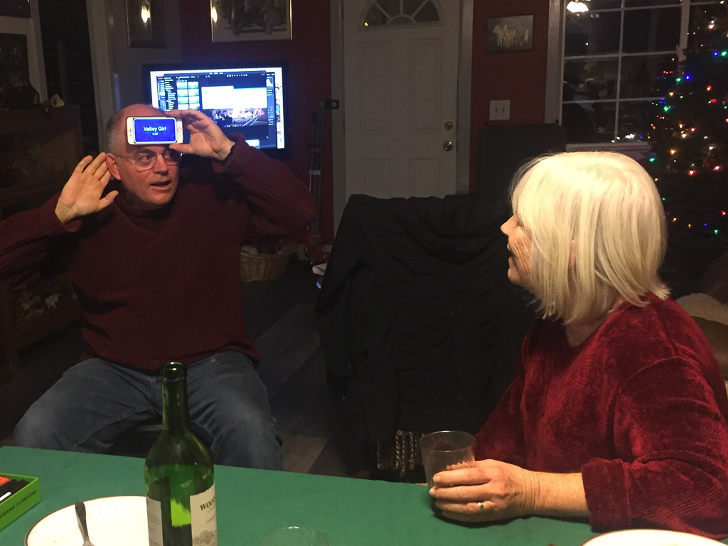 Trying to get my brother to guess Valley Girl.
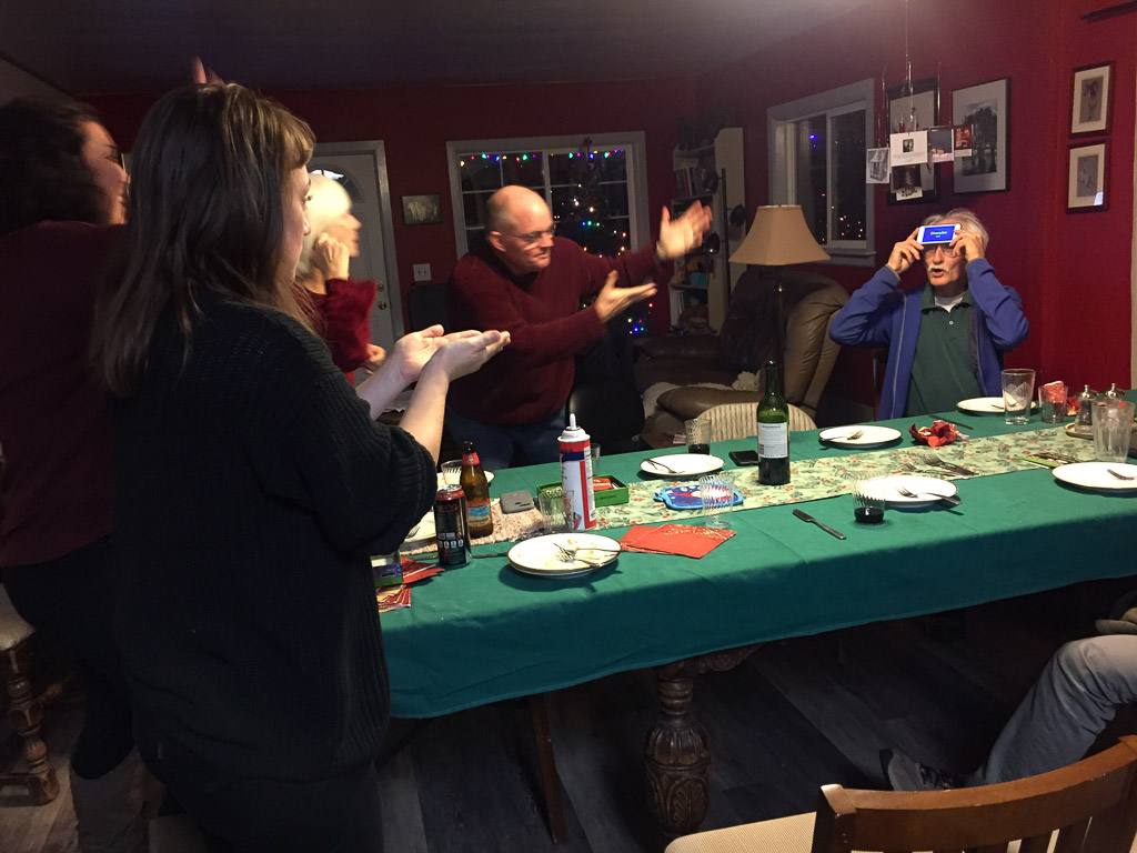 A lively time was had by all.
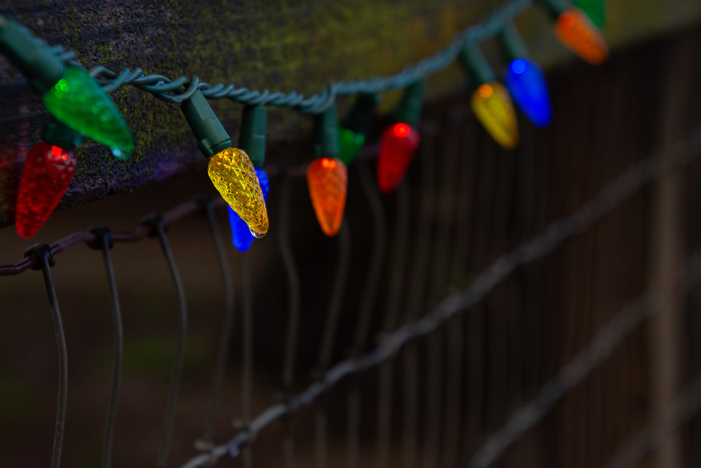 And to all a good night.
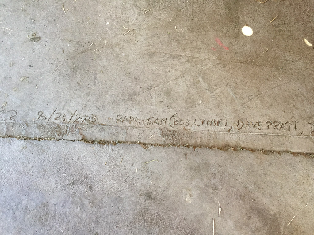 This is etched into the barn floor after one of our concrete pours. Papa-San was my father-in-law. Dave is my brother.
 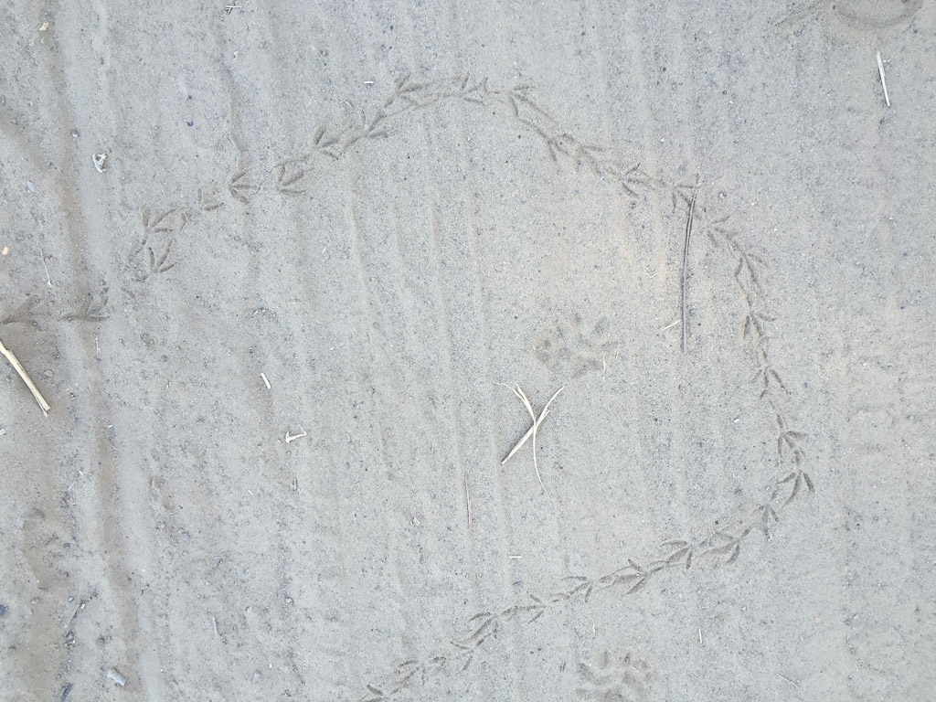 And speaking of writing on the floor, this was taken Across the Road, not as permanent as the concrete etching except in my photos.
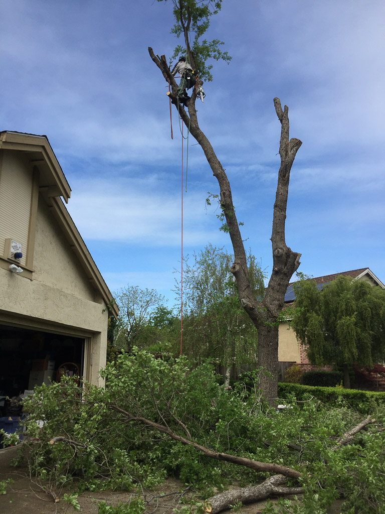 My oldest son side job is climbing trees to remove branches or, as in this case, to remove a tree that should no longer be where it is.
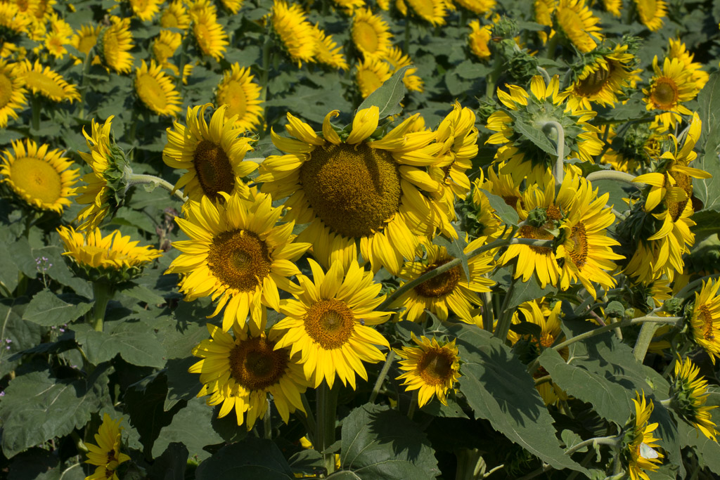 Sunflowers.
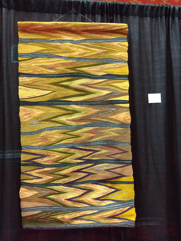 Wedge weave rug at Convergence in Reno last summer.
 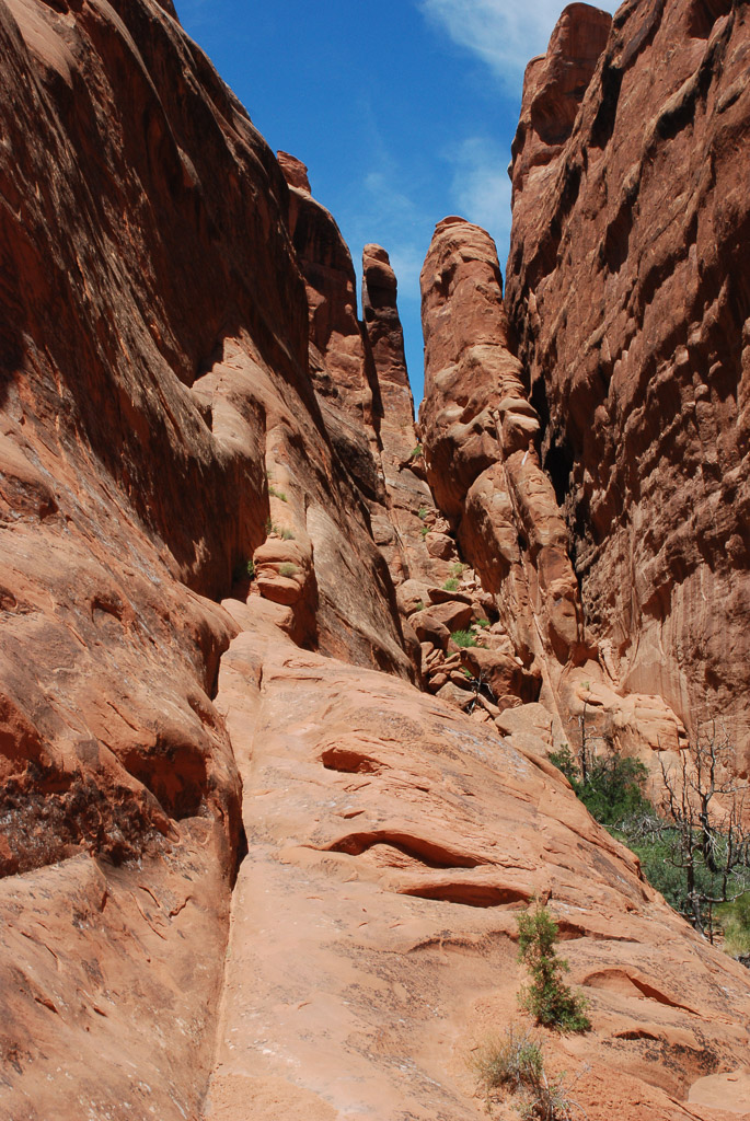 Hiking in Arches National Park.
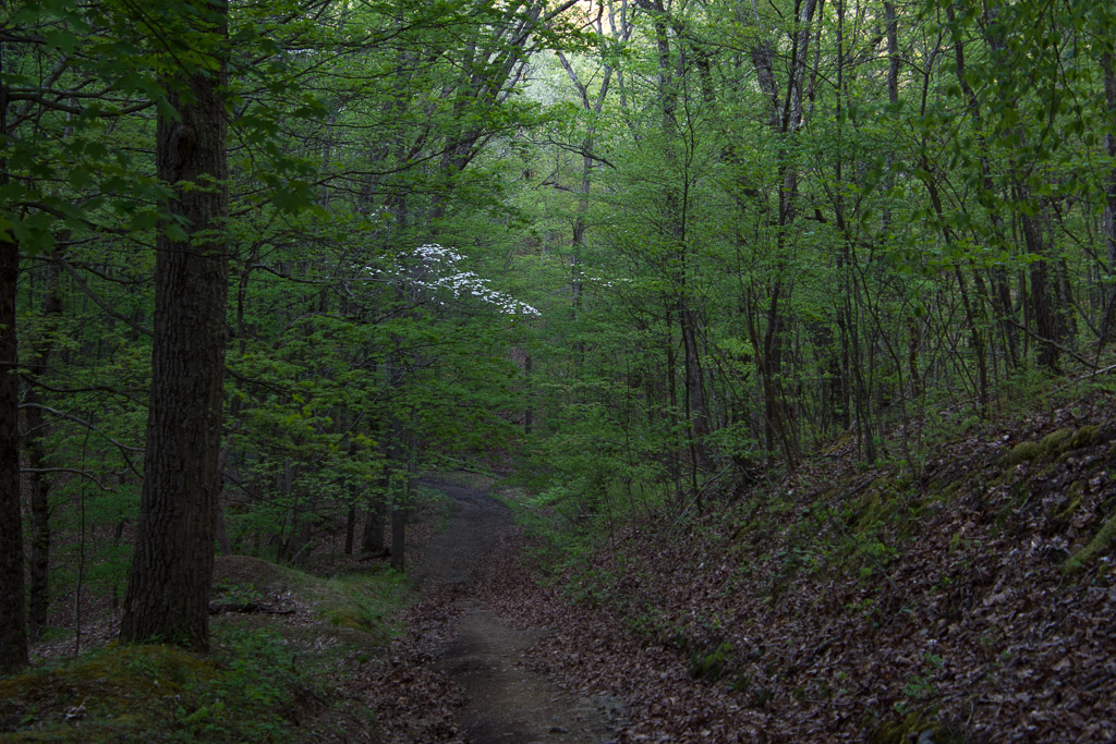 Hiking on the PawPaw Trail in Maryland last spring.
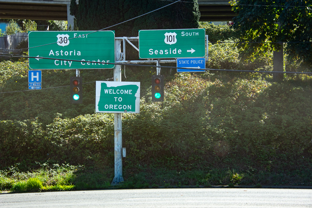 Taken from our road trip in September on our way back from Washington.
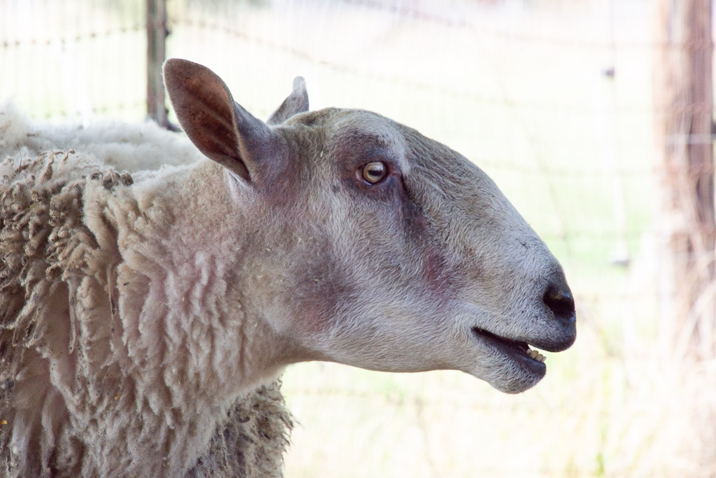
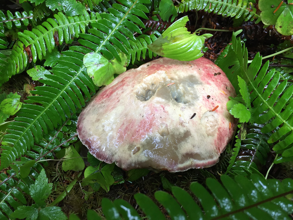
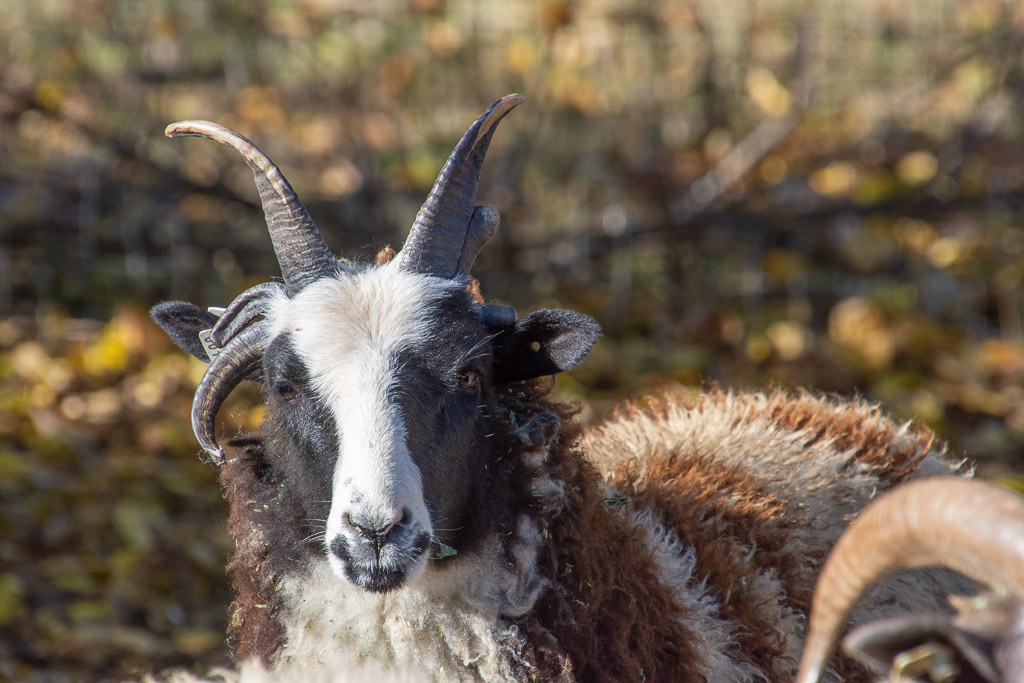 The photo I was searching for when I mistakenly typed 856? This is ewe lamb 8056, Meridian Quartz, a 6-horn ewe lamb. People talk about Jacob sheep having six horns but I've never seen one that has room for six really distinct big horns.
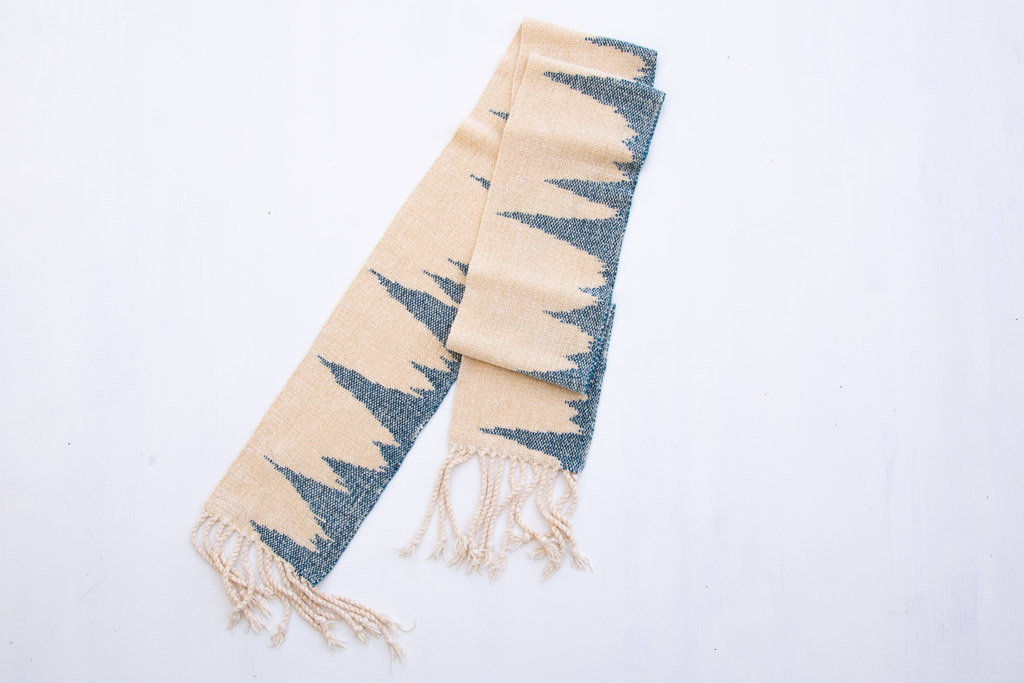 Chenille scarf using clasped weft.
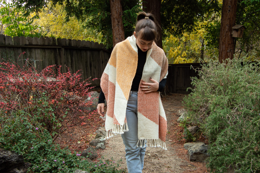 Local yarns dyed with coreopsis and dahlia flowers.
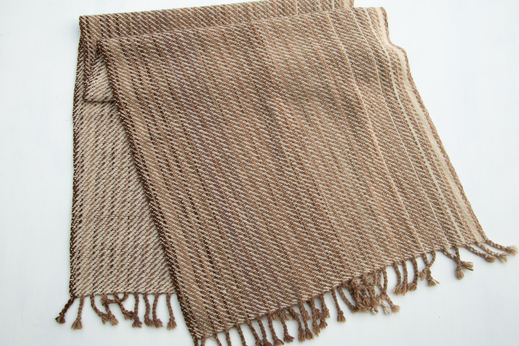 More local yarns dyed with mushroom and black walnut.
 This is the stack of ponchos that I finished in early November just before the Fibershed Wool Symposium.
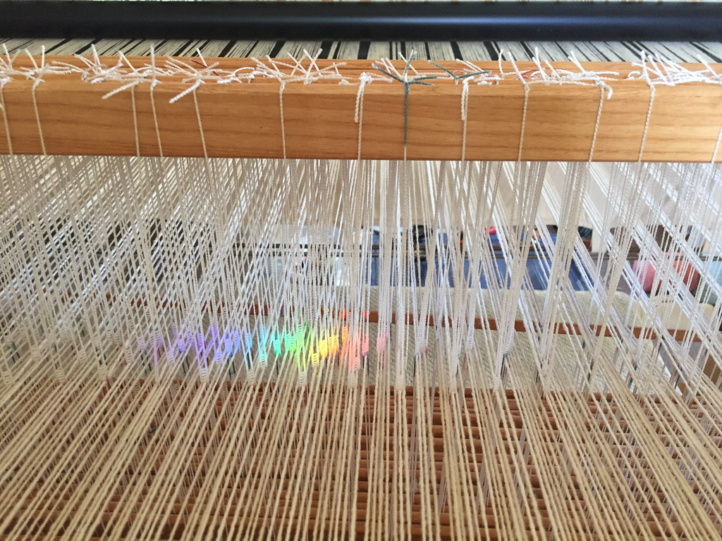 This is how the loom looks from where I sit.
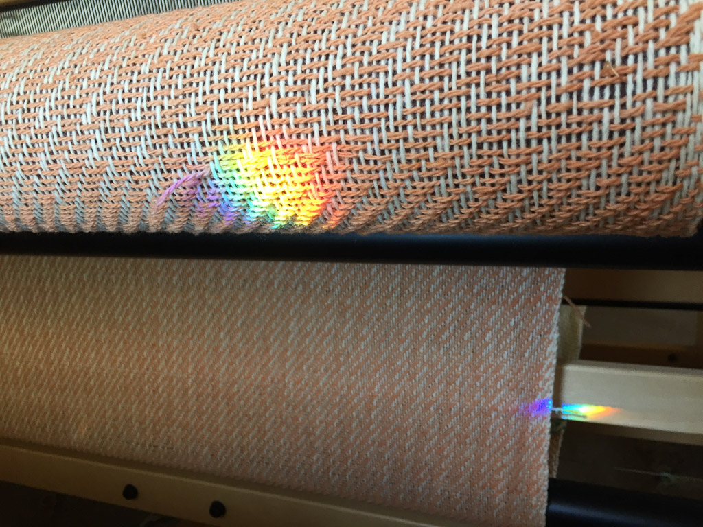 The rainbow colors are a result of a prism that hangs in the window behind me. After my mom died a friend gave me the prism and said that it was to remind me of my mom. And it does, as it reminds me of the friend, Sylvia.
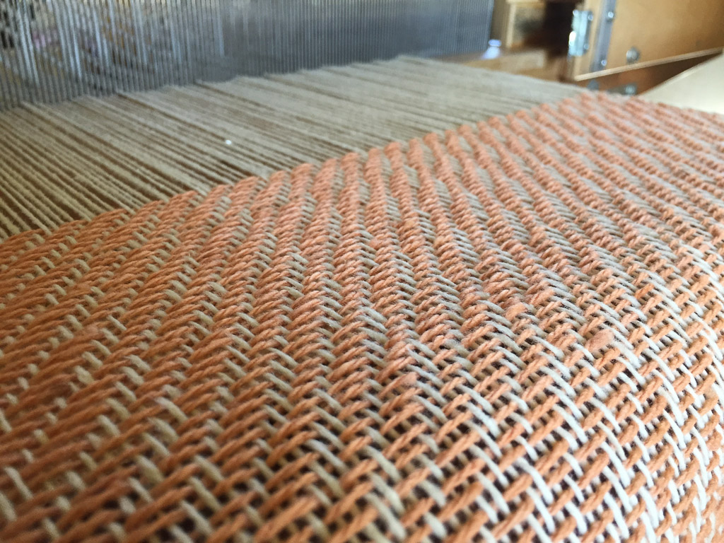 Coreopsis dyed yarn.
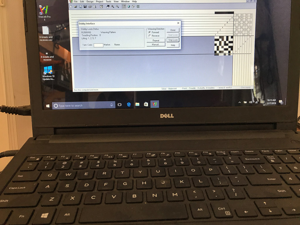 The computer that holds the "brains" of the loom. This loom does not weave without me doing everything (for those people who think that having a computer hooked up means I'm not really weaving). It only keeps track of the pattern that I have put in.
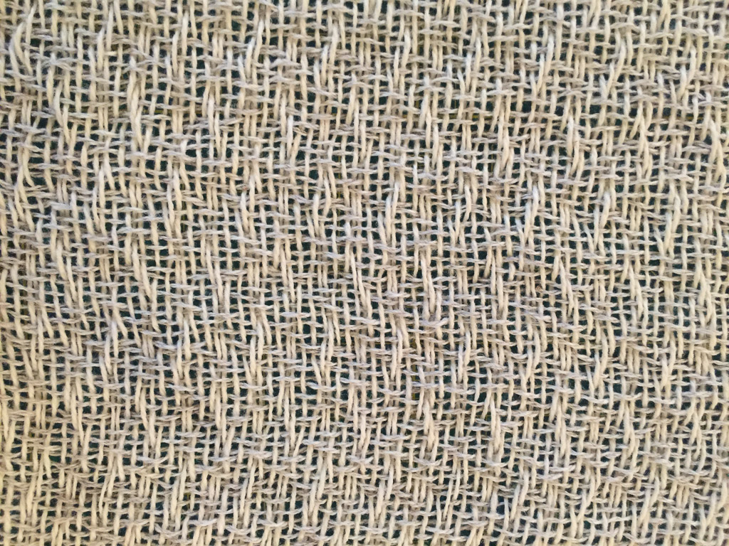 This is what that pattern looks like. It will be completely different after fulling.
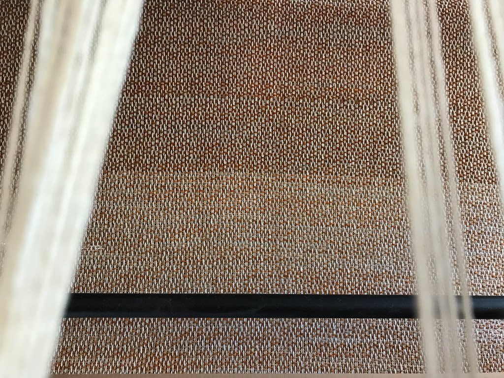 A look down through the warp threads to the cloth below.
 OOPS! I think I have this in an earlier photo and I haven't told the story yet of what I did about it. That will still come.
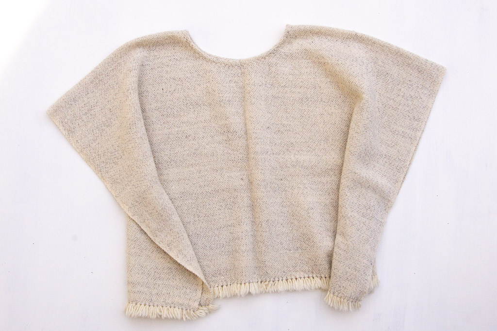 Some of the finished ponchos.
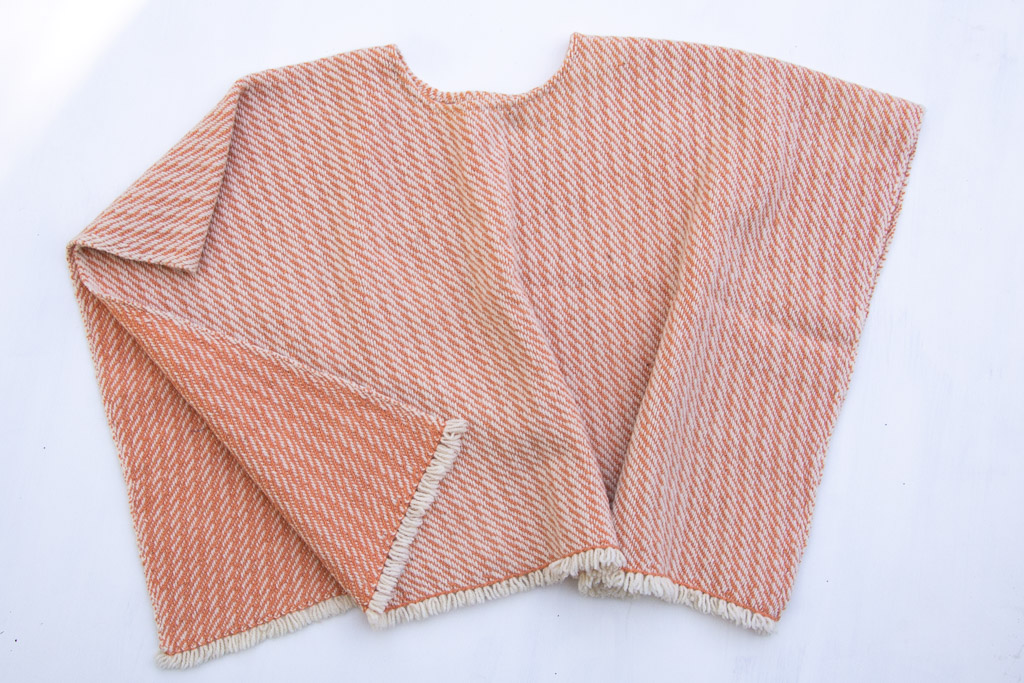
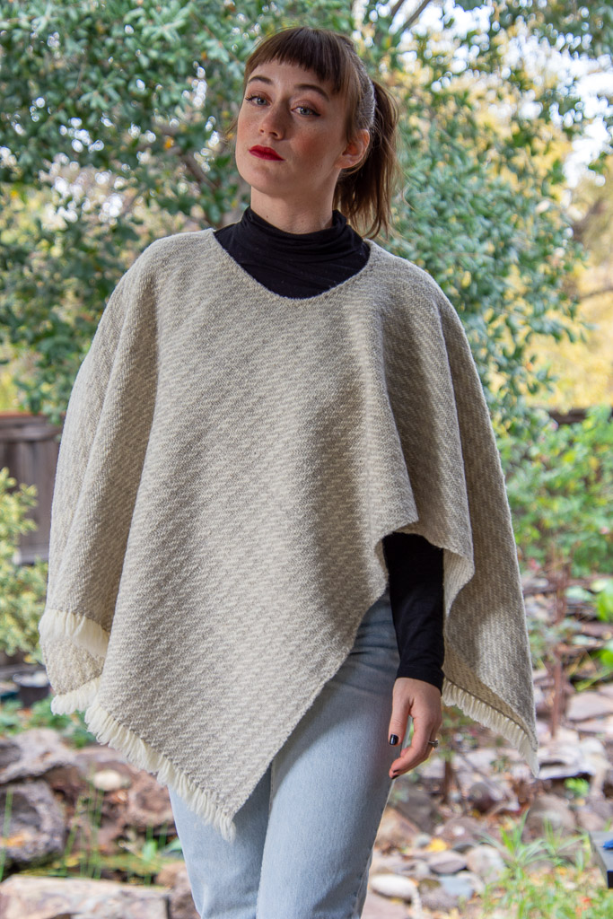
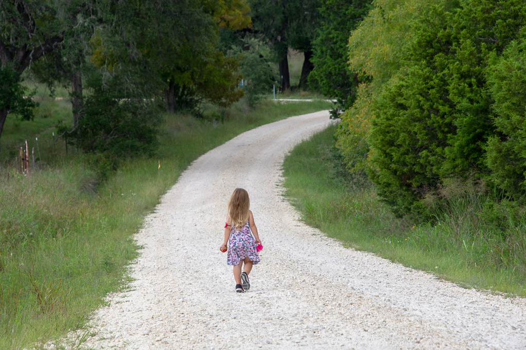
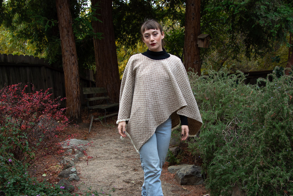 Talk about a versatile garment. I have grown to love the poncho. It's really just a blanket with a hole in the middle for your head. Whether you're at the computer late at night (gee, does that ever happen?), in the car, or trying to stay warm while reading in bed it's an easy garment to throw on. And it also makes you look young and pretty! Just look at those photos! (Disclaimer--that's really not me.)
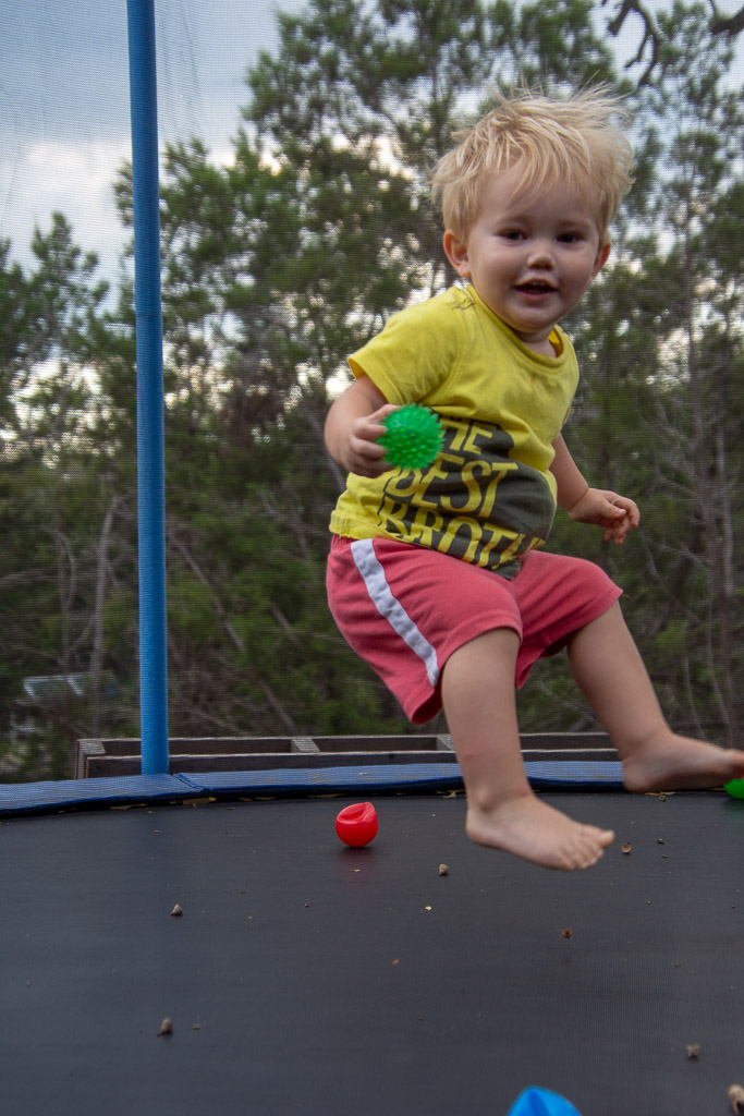 Kasen was about 21 months.
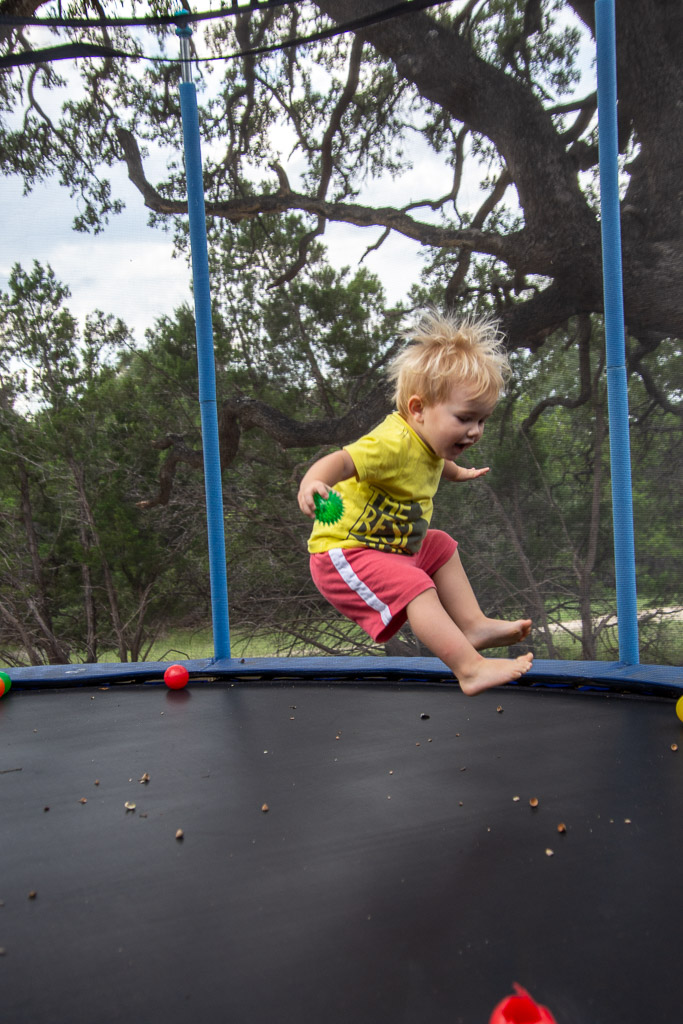
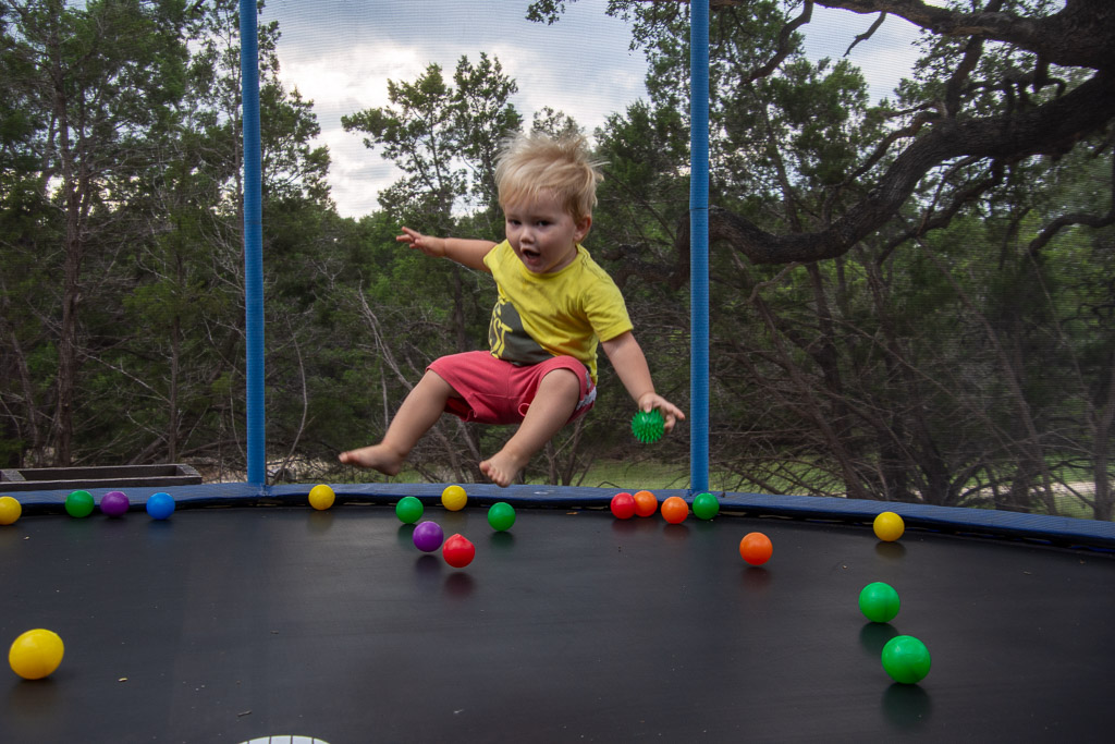
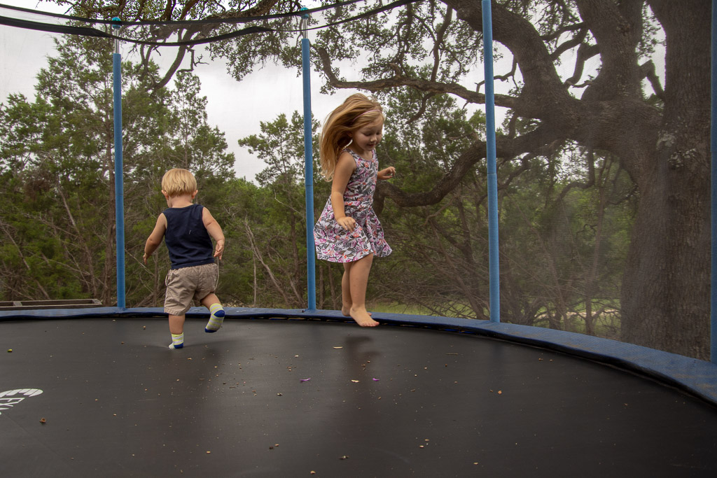
 Kirby is was four and a little bit.
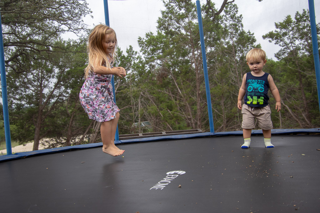 I think that I would have loved to have a trampoline when I was a kid.
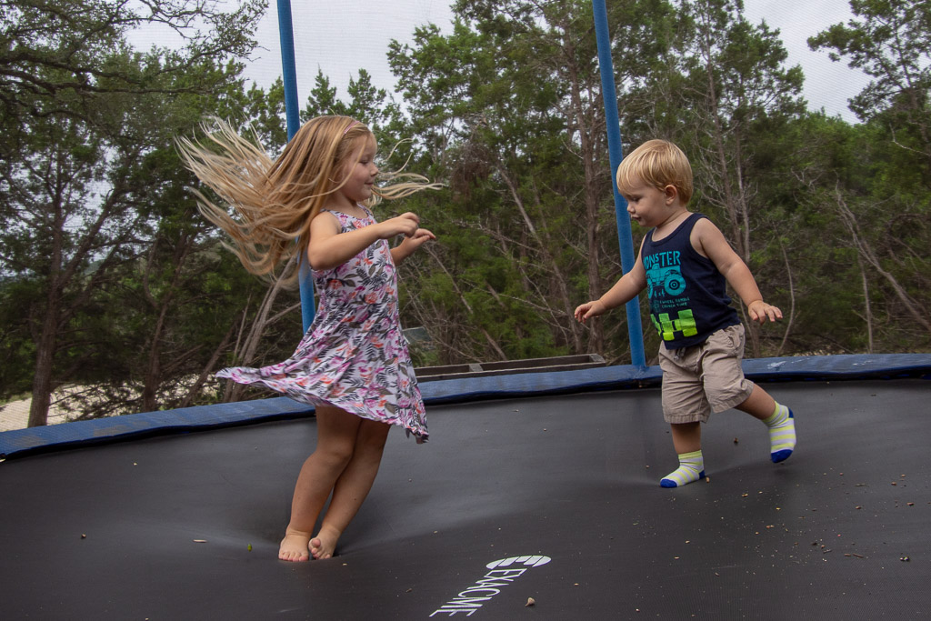
 We visited the pumpkin patch to choose pumpkins and try to get a family portrait.
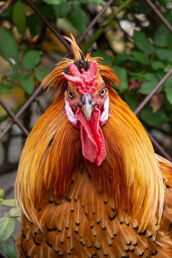 First, a chicken picture.
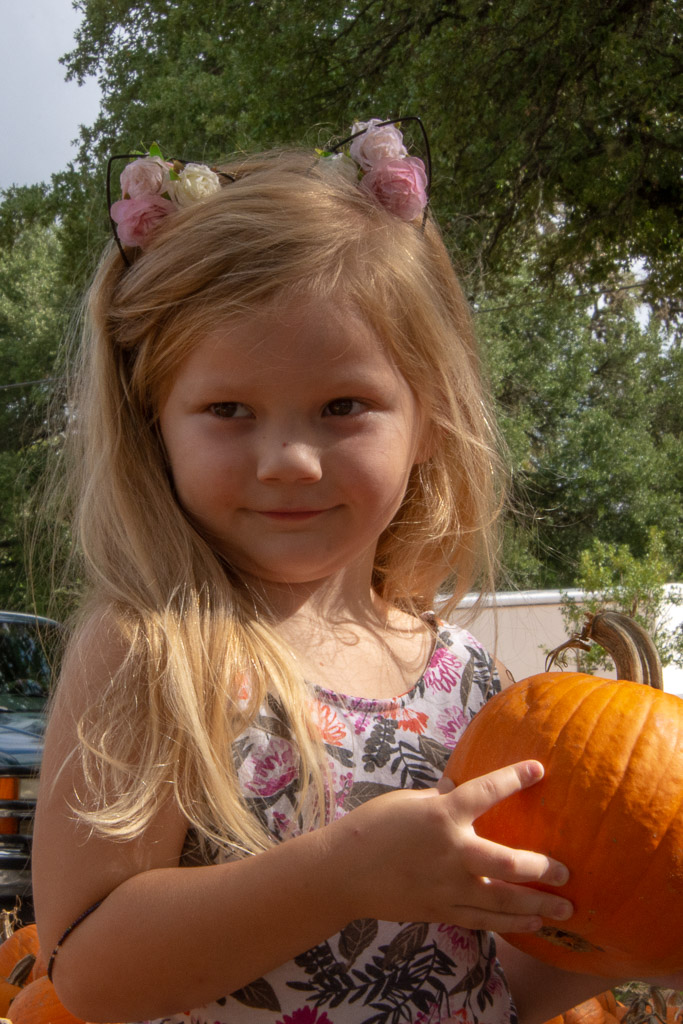
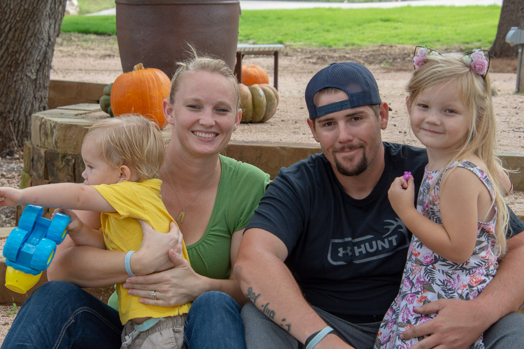
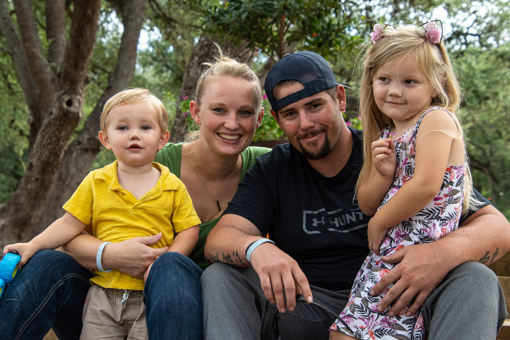 I don't think it was possible to get everyone looking in the same direction at the same time. But a beautiful family nevertheless.
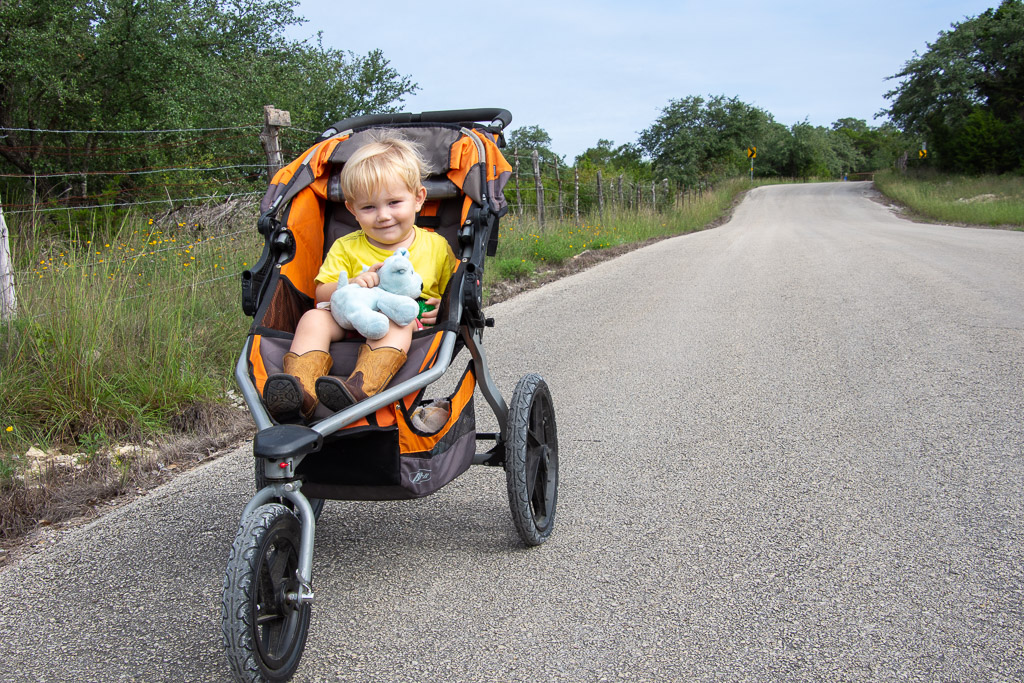
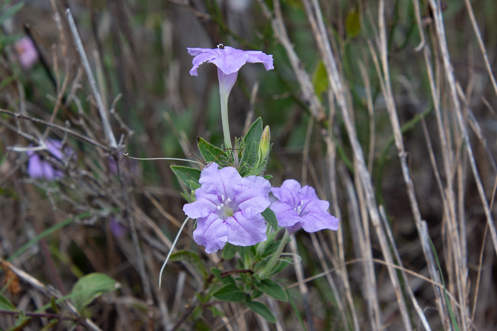
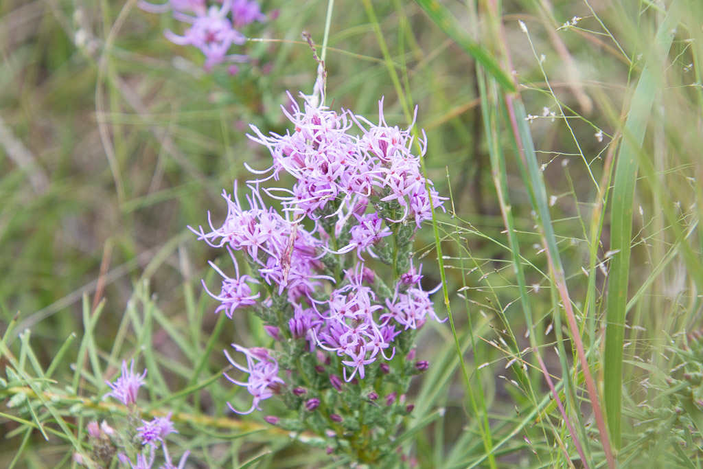
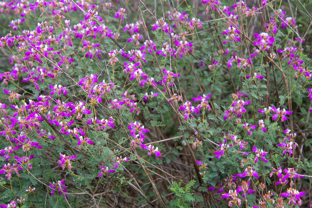
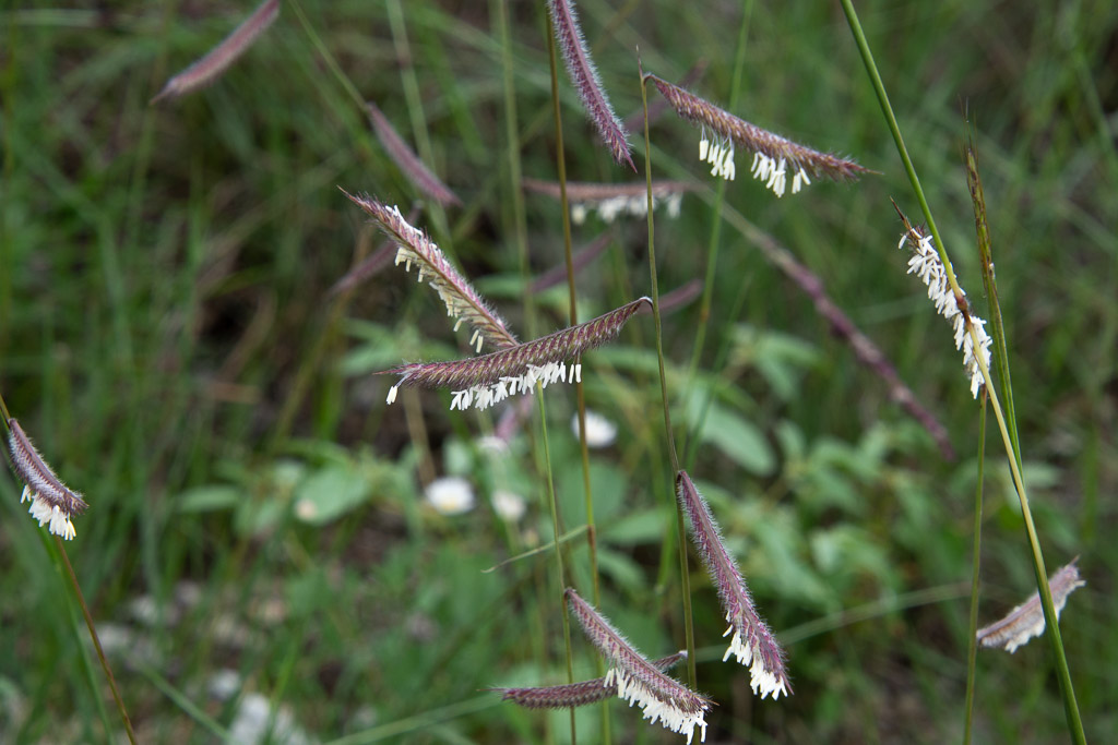
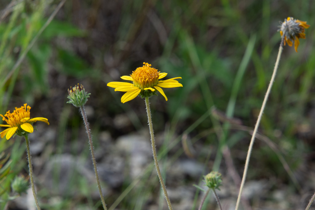
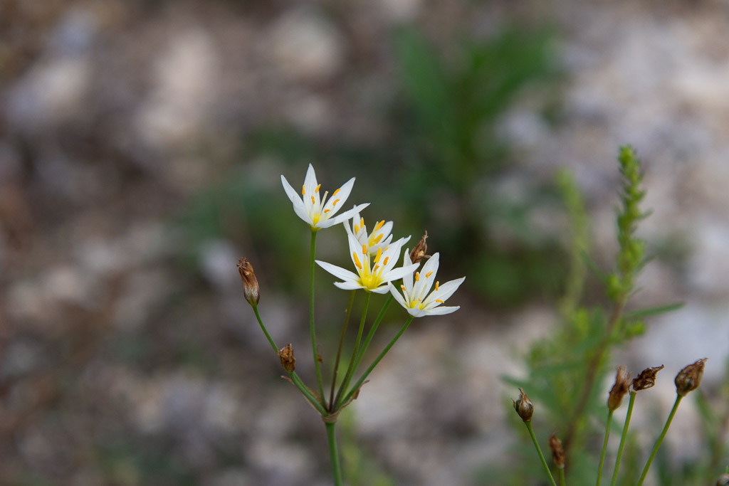
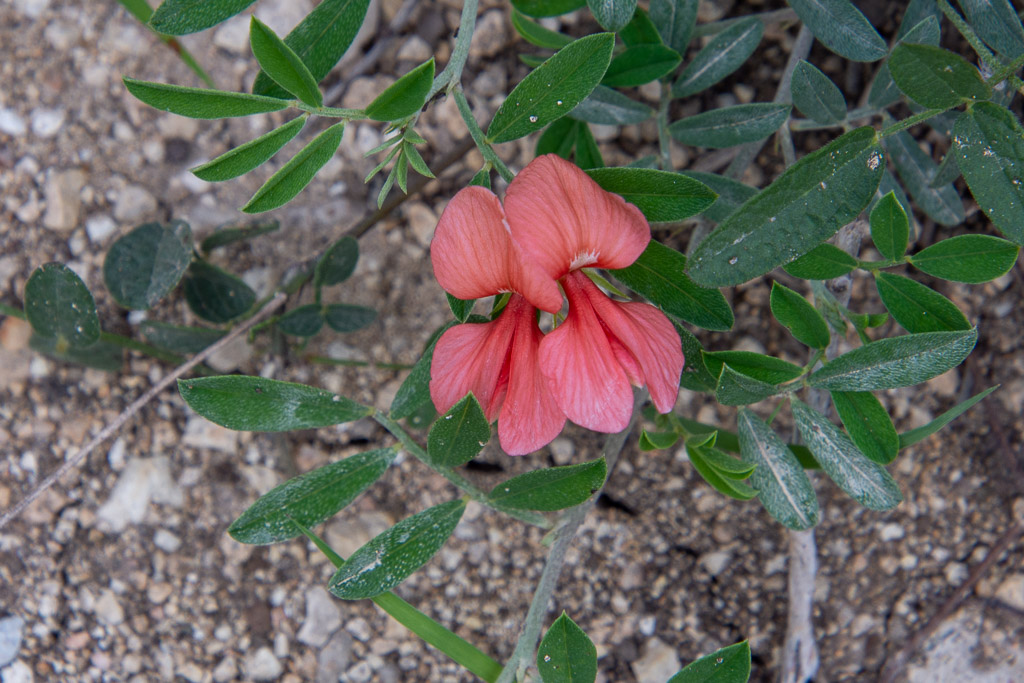
 We spent over a half hour parked on a bank overlooking the main road and watching cars and trucks go by. That entertained Kasen, but I was more entertained by the diversity of flowers there and on the way back--so many more than I expected in September. Unfortunately I didn't ID any of these while I was there and I just spent some time on-line looking for them, but I gave up. I'm just going to enjoy the photos and maybe use Katie's wildflower book next time I'm there.
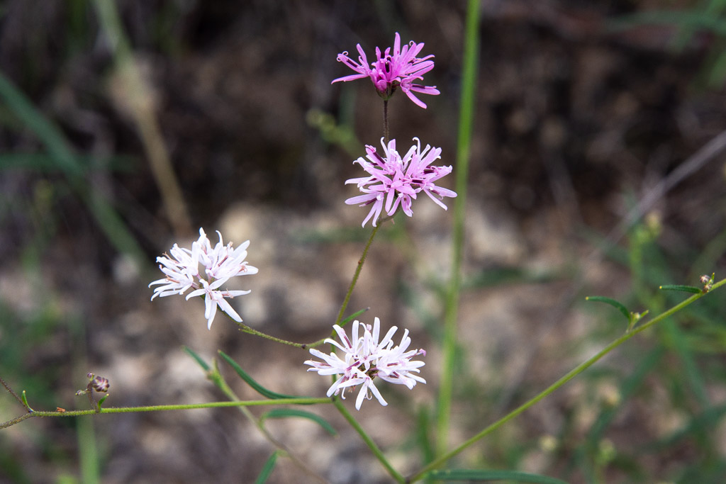
 Once Kasen was out of the stroller than I was more involved in keeping him out of trouble than playing with my camera.
 I didn't list this one because right now I can't find it. That may mean it is at the Artery. Or did I sell it? This is what I mean be trying to keep track. I'm not doing very well with that.
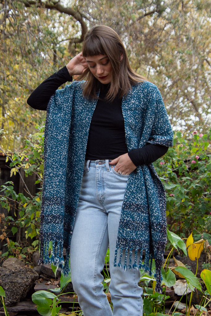 My niece was nice enough to model for me at Thanksgiving.
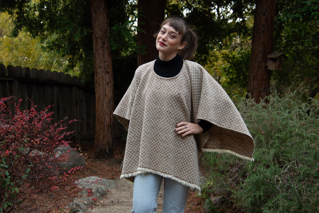
 Photobombing brother.
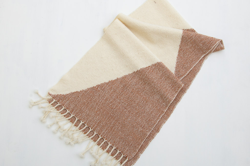
 These are yarns from Lunatic Fringe and all appear in the latest scarf I wove. Hopefully I'll get to that blog before too long.
 I wanted to write about the weekend in Santa Barbara where I presented the Guild program and then taught a Jacob wool class.
 I have stories about the weaving I was working on. This one is clasped weft. (With three yarns in each pick it took FOREVER.)
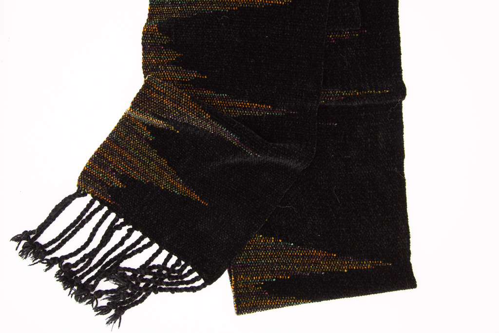 I have more clasped weft stories, but based on chenille.
 Overriding the last half of the month was the Camp Fire, a terribly destructive fire. Even though were not affected here (other than the unhealthy smoke levels) I couldn't help but think about it most of the time. This fire was destructive on such a massive scale that the population in Butte County still needs help from volunteers. This photo is one of four pieces that I donated to
 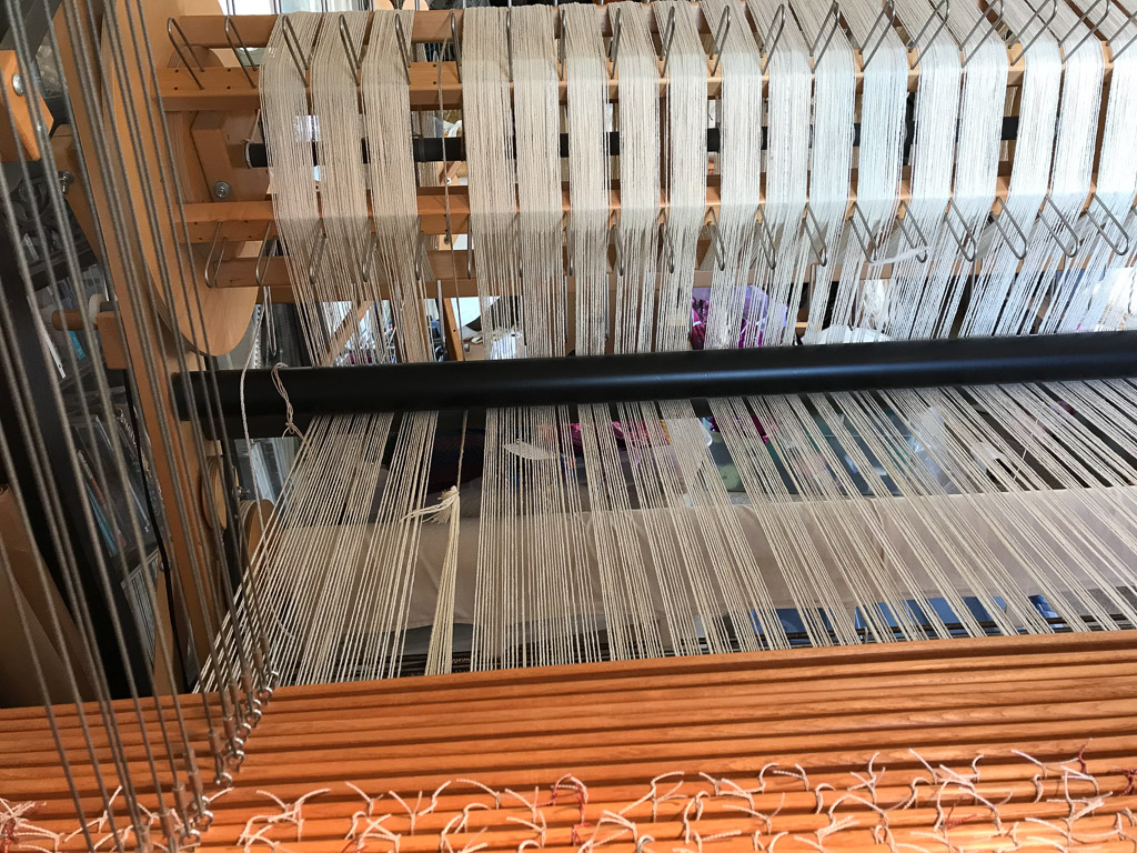 While I was trying to squeeze all the weaving that should have happened throughout the year into a month I ran into this problem at the end of a 21 yard warp. Fortunately the other 18 yards were just fine and produced 10 ponchos. I was going to write a blog post about what I did about this.
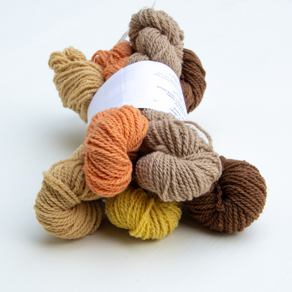 I also finished up my dyeing for the season and put together bundles of yarns for sale. I have lots of pretty flower and yarn photos to share on the blog.
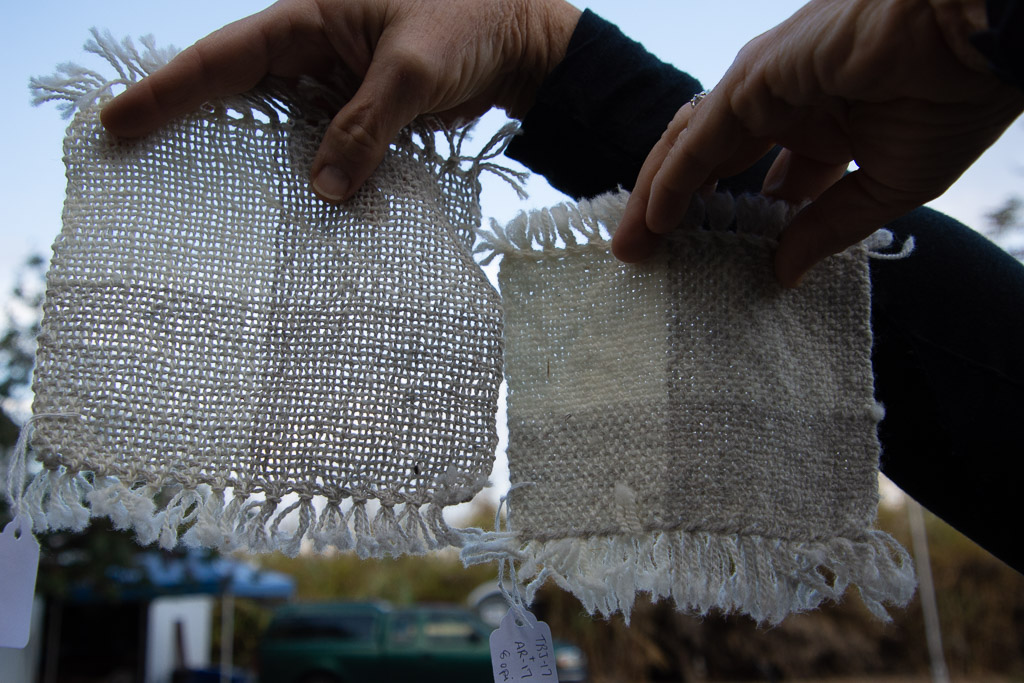 I continued to help new weaver's problem solve even if it was by sharing photos via email. (This one is before and after washing.)
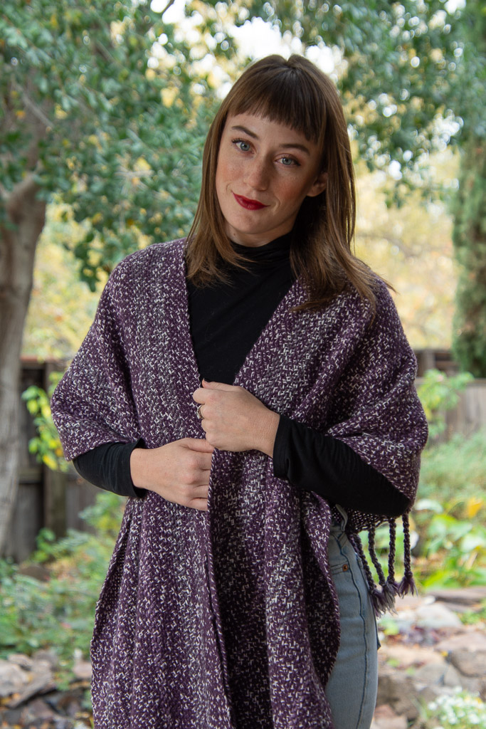 Thanksgiving came along the day before the big show (for me) of the season, the Crocker Holiday Artisan Market. I took some of my pieces to my brother's house so that I could photograph them with a professional model who happens to be my niece. Now I'm self-conscious about using these photos because my niece works with real photographers and I want to do her justice.
 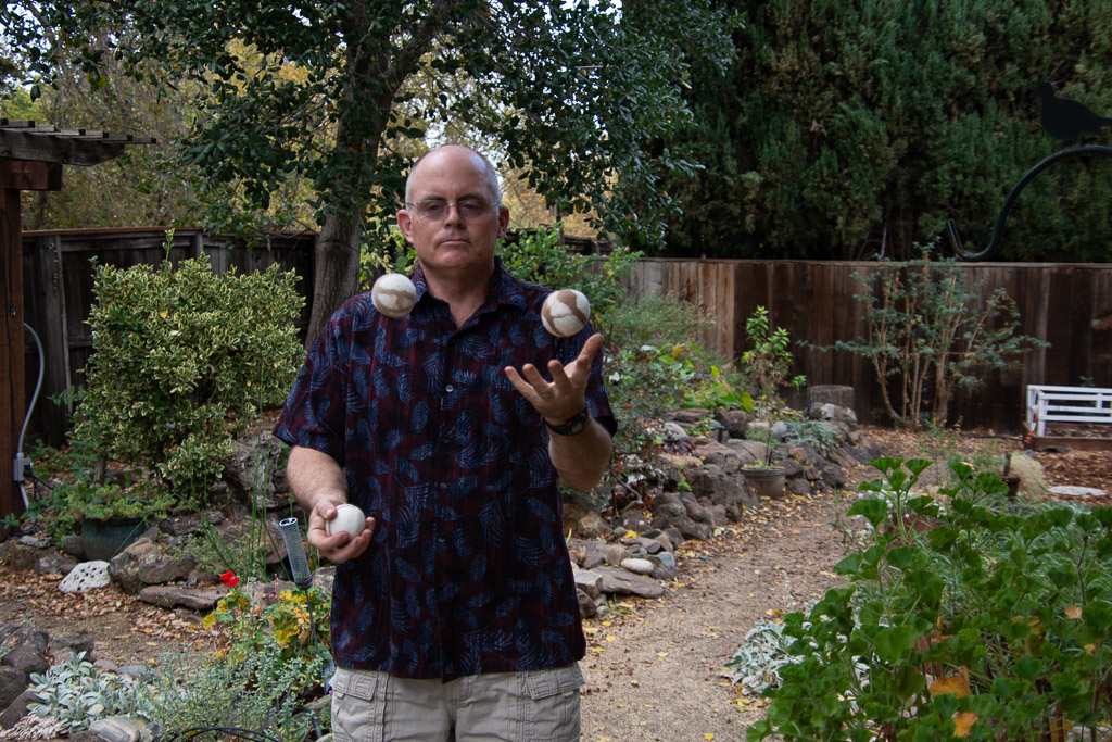 My brother also helped model. He demonstrated how wool dryer balls could be used for juggling.
The big thing that I was going to announce with this blog post is that over all this time for the last six weeks I've been working on a new website to replace the old one. It went LIVE today. I was going to share the link and add links to all of these photos because having outside links to your website is supposed to help with SEO. But NEVER MIND. It was up there an hour ago but when I started this blog post the link www.meridianjacobs.com went back to the old site. I have no idea why. Maybe the wind blew the big pointer in the sky back to pointing to the old website. So I'll have to try again. Hopefully it will be there tomorrow.
My brother also helped model. He demonstrated how wool dryer balls could be used for juggling.
The big thing that I was going to announce with this blog post is that over all this time for the last six weeks I've been working on a new website to replace the old one. It went LIVE today. I was going to share the link and add links to all of these photos because having outside links to your website is supposed to help with SEO. But NEVER MIND. It was up there an hour ago but when I started this blog post the link www.meridianjacobs.com went back to the old site. I have no idea why. Maybe the wind blew the big pointer in the sky back to pointing to the old website. So I'll have to try again. Hopefully it will be there tomorrow.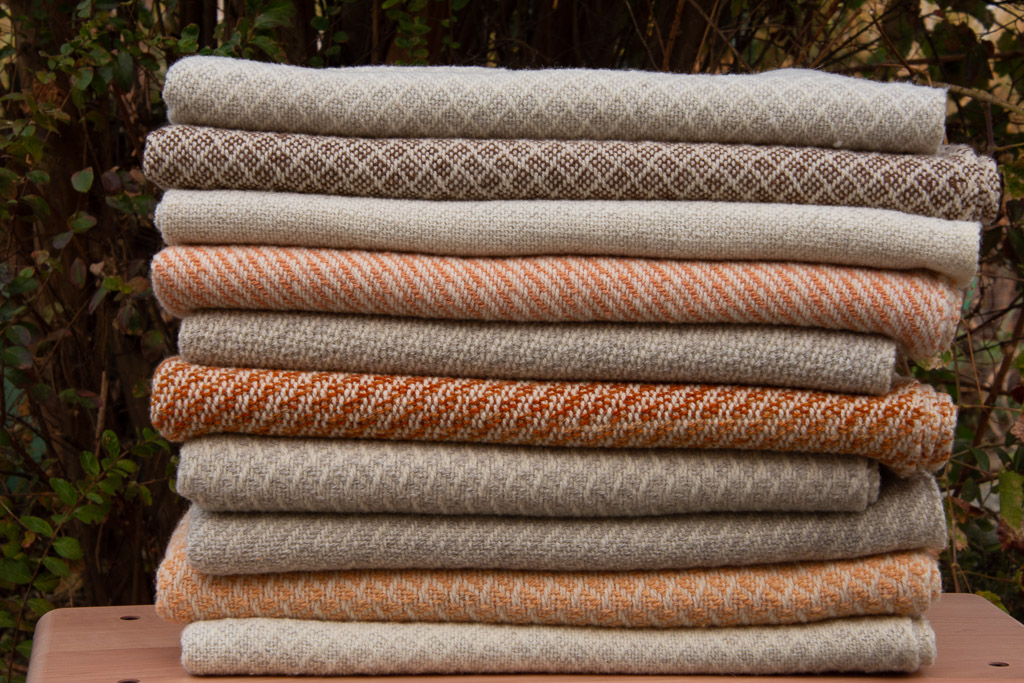 I finished these ten ponchos just in time to take them with me.
 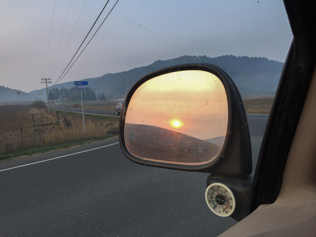 Driving over early Saturday morning, the brown, smoky skies and red sun are a reminder of the tragic fires still burning in California. (The sun looked red in real life.)
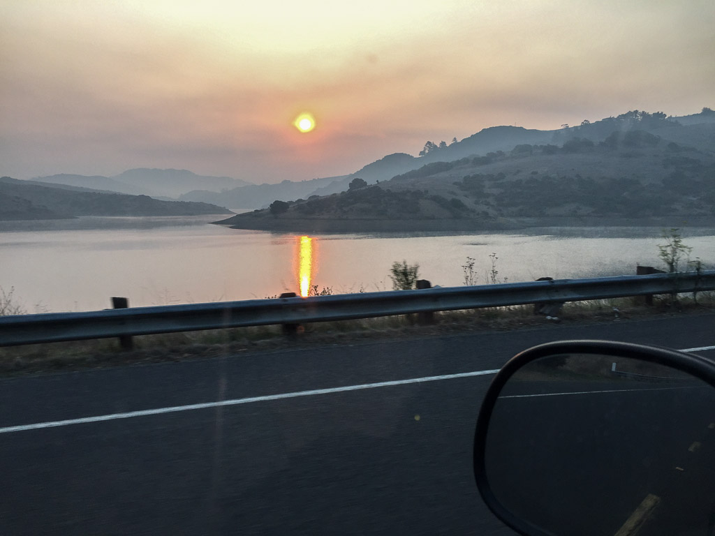 Our area is impacted by the Camp fire in northern CA.
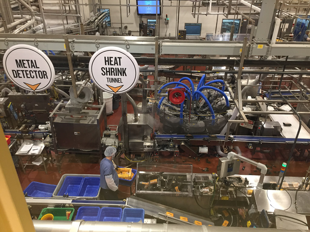
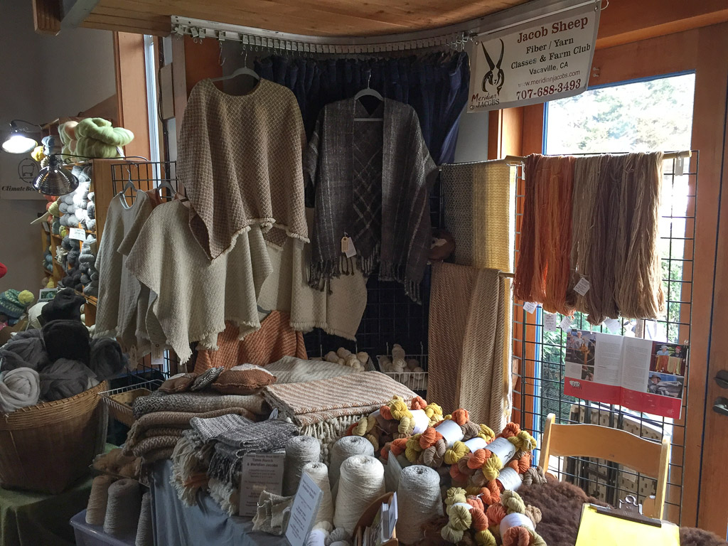 Once at the venue I got my area set up. We are given one table so I bring some grids to put in back and expand my space. I fit a lot of weaving and yarn into one place.
 Friends stopped by and took photos.
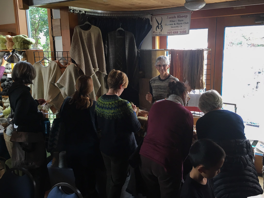 Some vendors are outside or in other rooms and have foot traffic throughout the day. I have always wanted to be in the main room where the speakers are presenting. That means the sales opportunities are clustered into a few breaks and the long lunch time.
In most years I have gone home following the Symposium. Now that we have formed the Northern CA Fibershed Ag Coop and I am a Board member I stayed in the area Saturday night to be at a Board meeting on Sunday. A couple of us "camped" at the Olema Campground. In this case it was really a matter of finding the campground after dark and then crawling into the back of the truck to sleep. About 15 minutes after leaving home Saturday morning I realized that I had left my sheepskin behind--the one I sleep on when we camp. I didn't have time to go back for it. Instead I slept in my sleeping bag with a 1/4" thick yoga mat on our plywood platform in the truck. Surprisingly I was almost warm enough most of the night if I didn't put any body parts out of the sleeping bag or move very much, but I must say that there was something lacking in the comfort department.
Some vendors are outside or in other rooms and have foot traffic throughout the day. I have always wanted to be in the main room where the speakers are presenting. That means the sales opportunities are clustered into a few breaks and the long lunch time.
In most years I have gone home following the Symposium. Now that we have formed the Northern CA Fibershed Ag Coop and I am a Board member I stayed in the area Saturday night to be at a Board meeting on Sunday. A couple of us "camped" at the Olema Campground. In this case it was really a matter of finding the campground after dark and then crawling into the back of the truck to sleep. About 15 minutes after leaving home Saturday morning I realized that I had left my sheepskin behind--the one I sleep on when we camp. I didn't have time to go back for it. Instead I slept in my sleeping bag with a 1/4" thick yoga mat on our plywood platform in the truck. Surprisingly I was almost warm enough most of the night if I didn't put any body parts out of the sleeping bag or move very much, but I must say that there was something lacking in the comfort department.  Photo from the inside of the camper shell shows that it was a lot colder than it's been at home.
 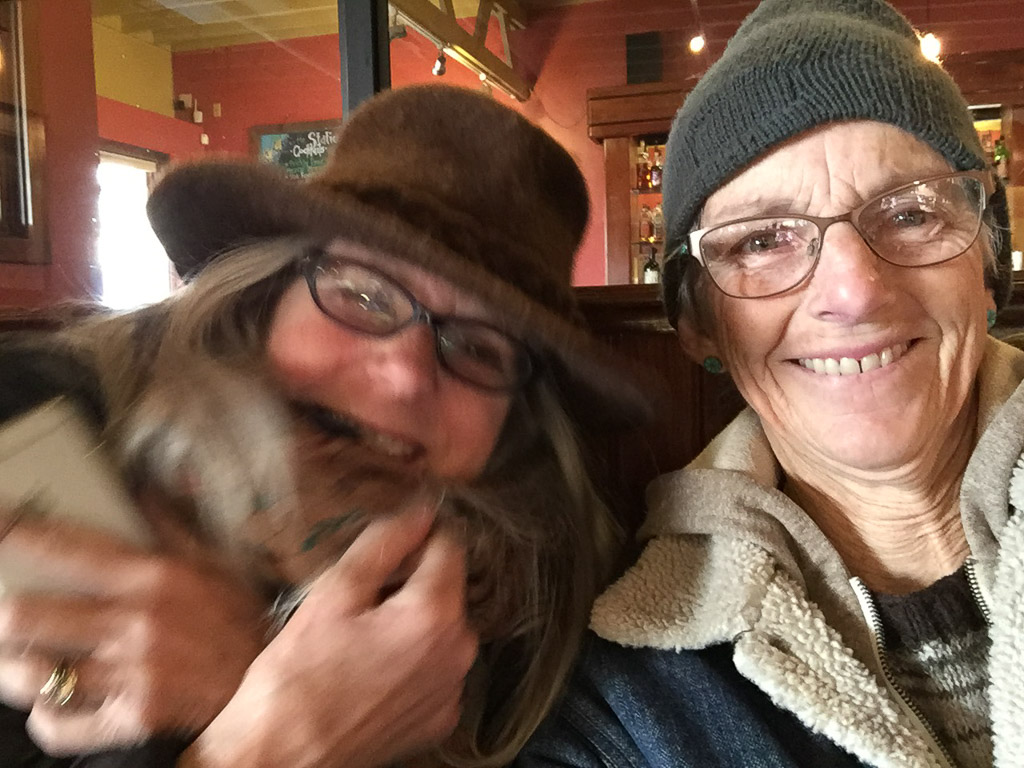 Fellow camper and Board member, Carol (sleeping in a van next to my truck), went with me as soon as we emerged from our vehicles to go find warmth at a coffee shop while we waited for time to go to our meeting. We were both still dressed in everything we wore to bed.
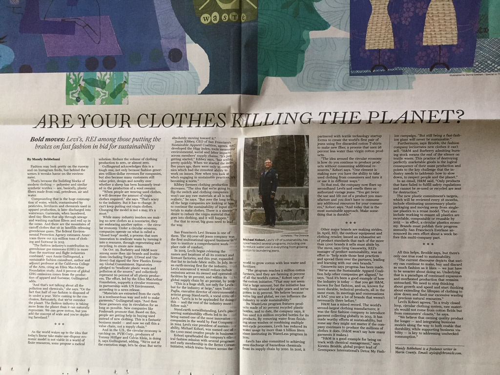 This is one of the articles inside. Although they don't talk about sourcing our clothes from locally grown fibers, they do address the issue of the incredible waste in the textile industry and consumerism. Seems appropriate to end the weekend.
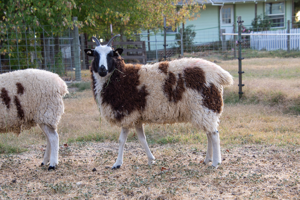 Meridian Janie (bide a wee Buster x Meridian Jane)
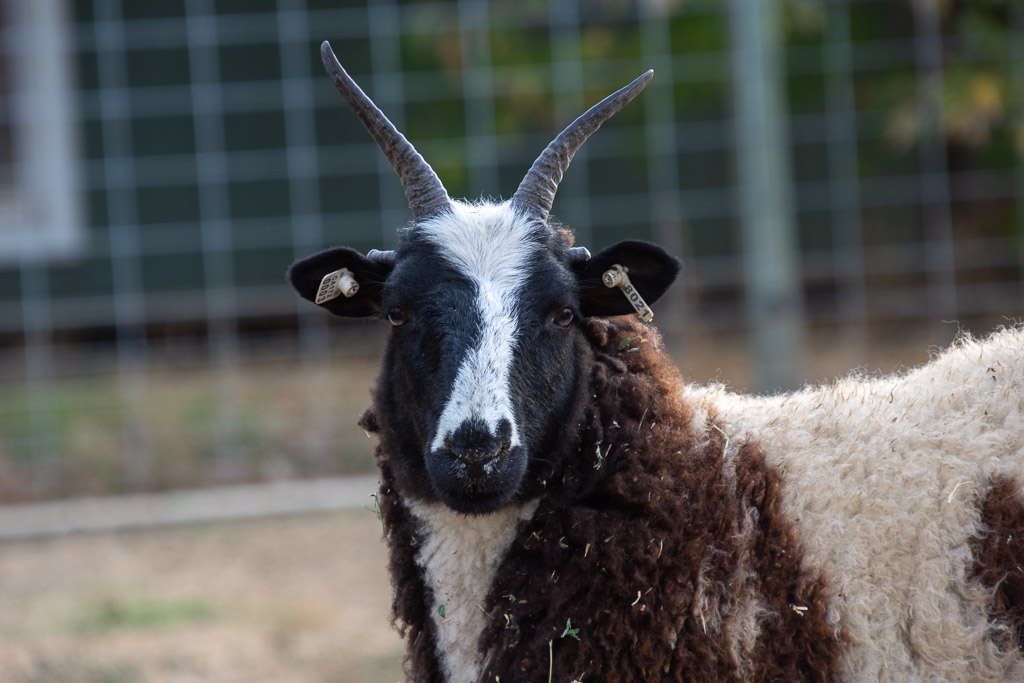 Meridian Maybelle (bide a wee Buster x Meridian Mae) This ewe was going to be on my sale list but she had an unexpected tryst with Cayenne and may be pregnant.
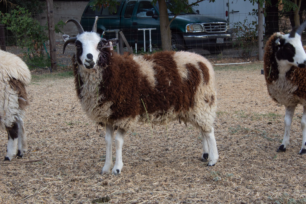 Meridian Ruthie (Meridian Cayenne x Meridian Ruth), who just broke her horn and is somewhat bloody on one side. This is another ewe who may be pregnant after the aforementioned incident.
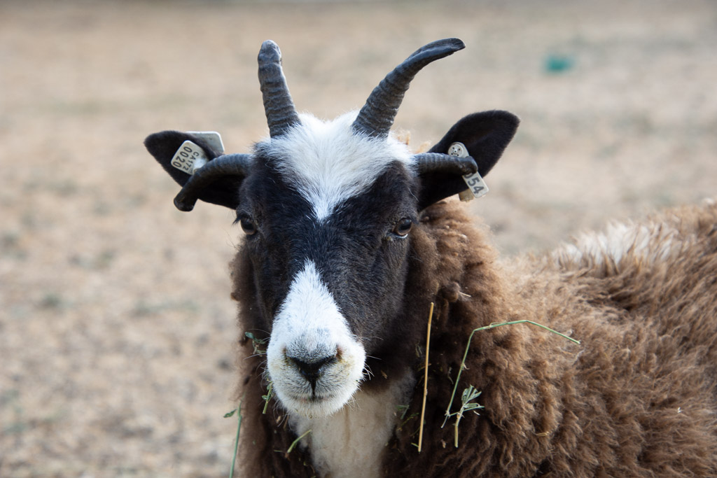 Meridian Zora (Meridian Cayenne x Meridian Betty)
 Zora is a pretty little lilac ewe who was chosen from Day 1 for her cute markings, although "cuteness" isn't listed under the JSBA Breed Standard selection criteria.
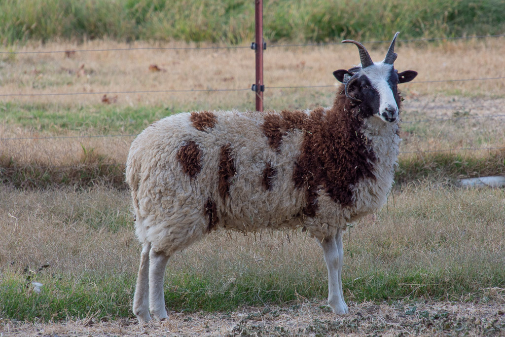 Meridian Quartz (bide a wee Buster x Meridian Jade). Quartz was chosen because, besides being a nice looking ewe, her mom is everyone's favorite pet sheep and...
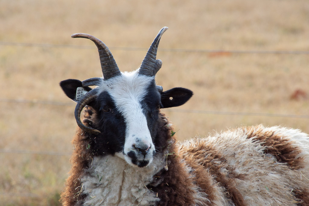 ...I want to see how her 6 horns grow out.
 Meridian ??? I haven't named this lamb yet but she certainly deserved a good one. (Meridian Serrano x Unzicker Shenandoah)
 bide a wee Marion (Ruby Peak Cinnamon x Meridian Maven), who didn't go home to Oregon after the AGM we hosted in August.
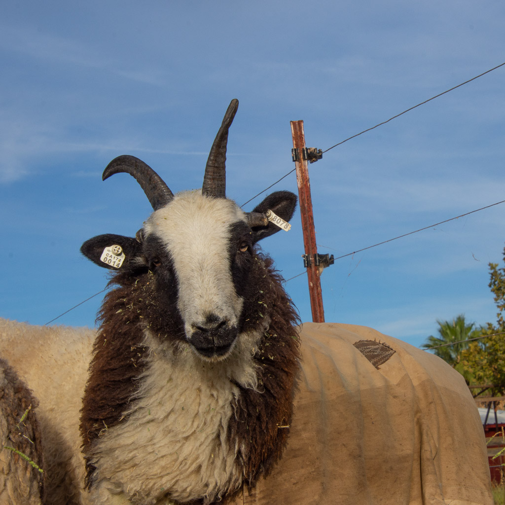 Meridian Janna (bide a wee Buster x Meridian Janis). Janna is a big tall ewe lamb and is out with the breeding group, possibly to be bred by Meridian Axle.
 Meridian Soprano (bide a wee Buster x Meridian Sonata) has definitely been bred by Axle.
It looks as though I am missing photos of one ewe and that is Meridian Haldana, who is one of the lambs that went to the state fair. Everyone else is accounted for here.
Meridian Soprano (bide a wee Buster x Meridian Sonata) has definitely been bred by Axle.
It looks as though I am missing photos of one ewe and that is Meridian Haldana, who is one of the lambs that went to the state fair. Everyone else is accounted for here. Jade is our most in-your-face (but in a good way) sheep.
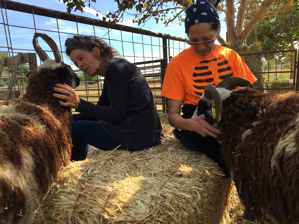 Trista is next.
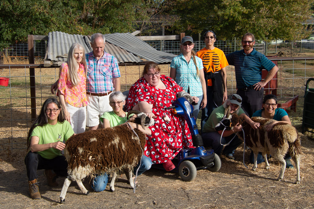 We had a lot of people earlier in the day but these are the hard-core sheep huggers who was left at the end.
 I brought the groups in one at a time and separated the rams. That's Buster in the pen. His nose is already bloody because he was ramming the panel to try to get to Axle, the young 2-horn ram in the middle of the photo.
 Most of the ewe flock was back together now and that was Clark's lucky day! That's him in the background with his head turned away.
 Meanwhile the other four rams went into their "buddy-up" pen. The point of this is that they are confined enough that they can't do much damage. That doesn't mean that they don't hit each other but at least they can't back up 10 feet and come charging.
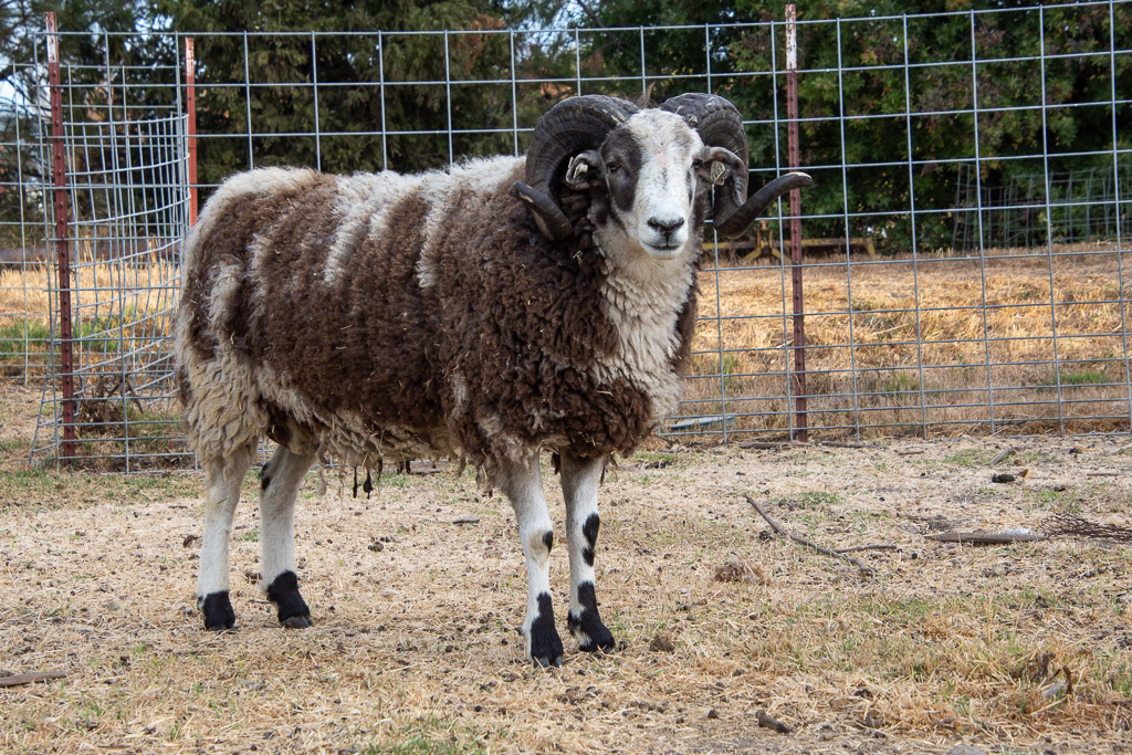 After a few days of learning to be buddies again they went back to the ram pen with minimal fuss. They all had figured out the pecking order. Cayenne (above) is #2.
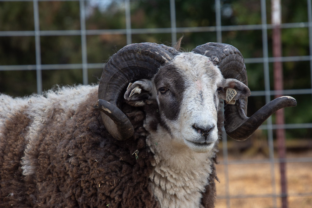 Cayenne. I love a nice two horn head.
 This is Spark, Cayenne's full brother, born this year. There is the difference a year makes. Cayenne was born last year.
 Brothers.
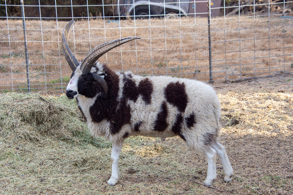 Bide a wee Buster is #1 in the ram pen.
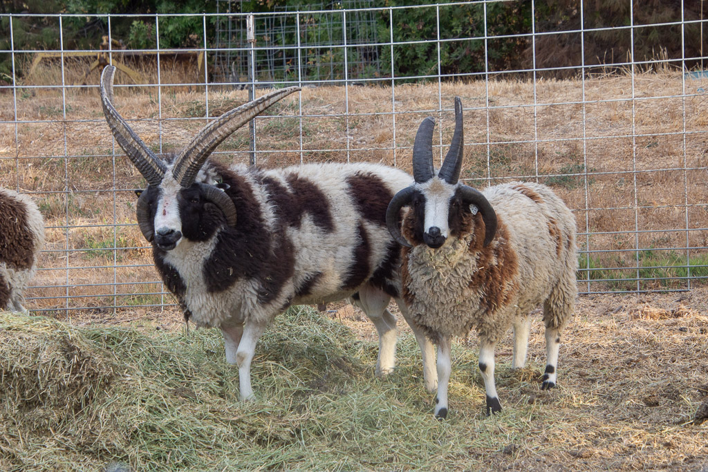 Buster is 3 years old and Clark is his son from this year.
 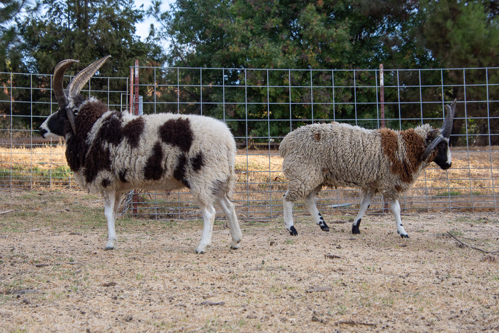 Bookends?
 Here's the lucky ram who gets to stay out with the ewes for another few weeks. This is Axle, also a 2018 ram. He is wearing a blue marker...
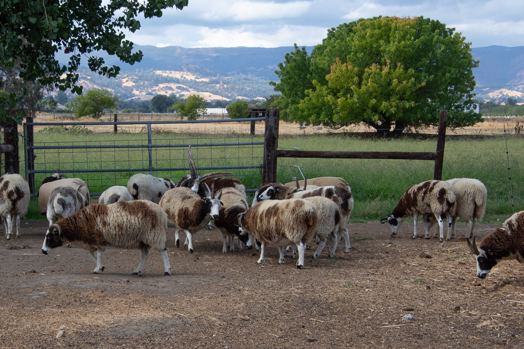
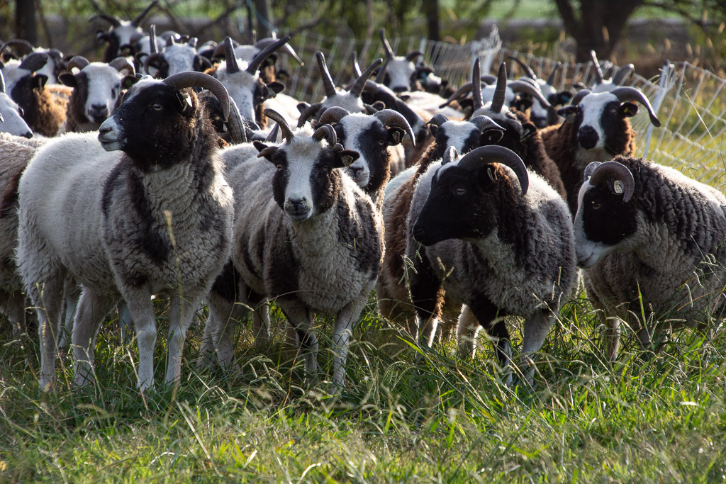 Today I moved most of Peyton's ewes back to the flock. Three of them were the Pope Valley sheep that came this summer, and they immediately found their two friends. That's the five or them in the front. Large Triangle, 4-Horn, Small Triangle, White Ear, and Crooked Blaze in the back. (They do have names but I remember them better by what I called them at first.)
 This is part of Peyton's group. He got 11 ewes.
  Peyton is a BFL and these will be crossbred lambs.

 Next was Buster. He was given 16 ewes.
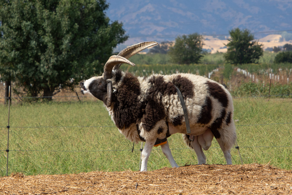 All the rams had yellow markers.
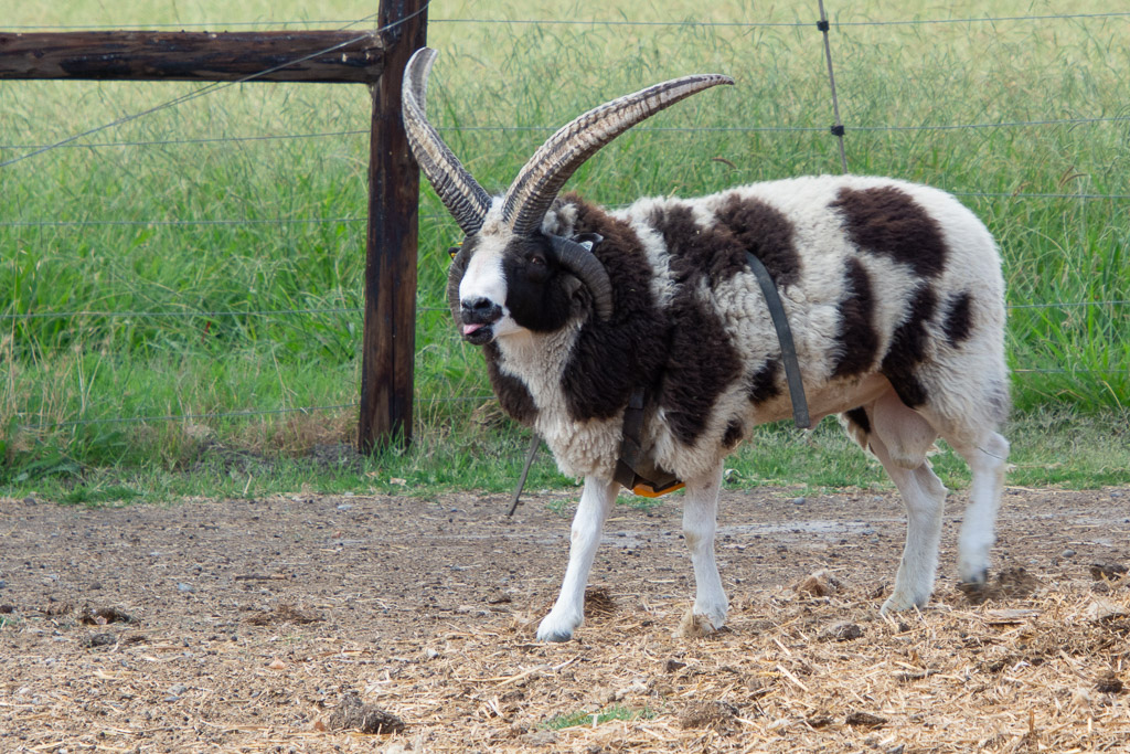
 Clark is next. He is Buster's son from this year. It's hard to pick him out in this photos because the ewes are all bigger than he is.
 Clark was given 11 ewes.
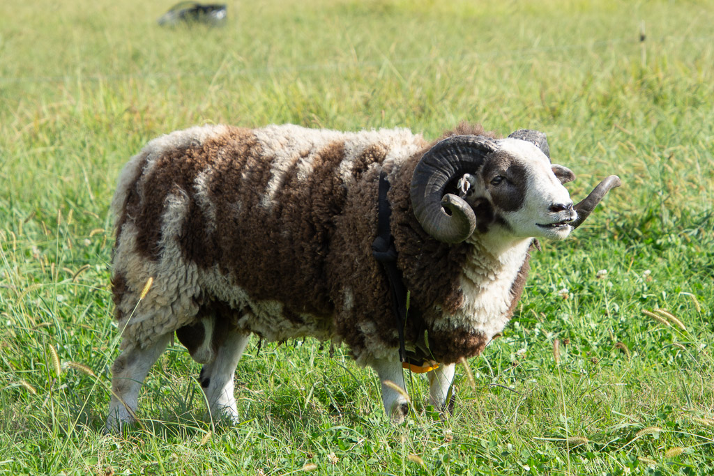 Last we have Cayenne with 10 ewes.
 Last, there is the group of ewe lambs that I chose not to breed this year.
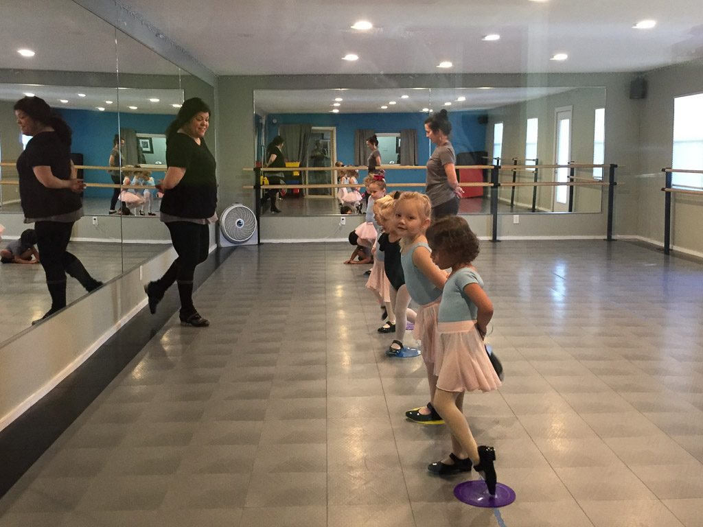 I had to hide behind another window because Kirby kept looking through the door.
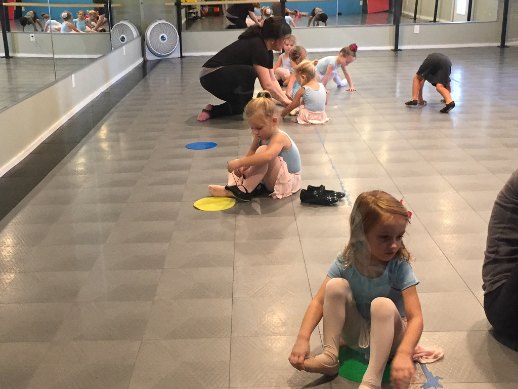 In the middle they changed from tap shoes to ballet shoes. The teachers helped each kid get the shoes on the right feet. They stuffed the bows in the toes of the shoes. Kirby didn't like that and twice she pulled the ends of the bows out and I saw her twisting them around each other in an attempt to tie them. Eventually the teacher tied them and left them out--I think she tied a double knot. I meant to try and teach Kirby to tie a bow while I was there but actually I think she is too young. Next time...unless she already knows by then.
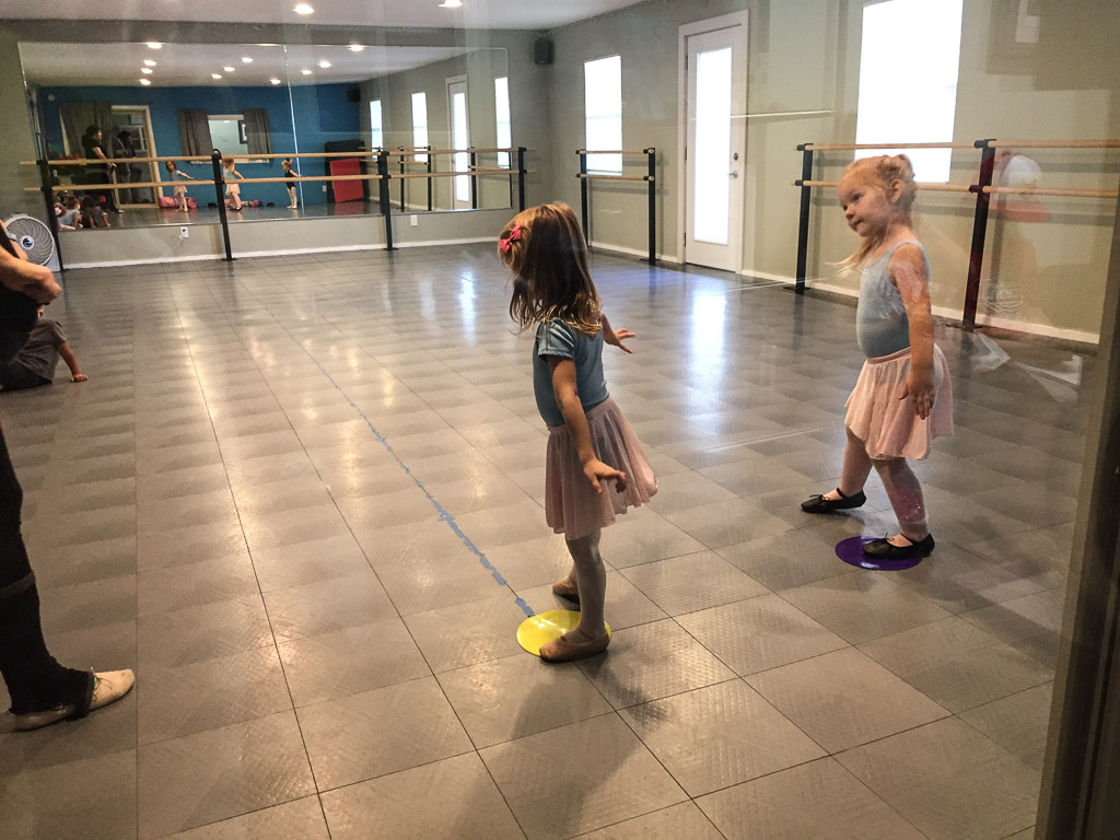
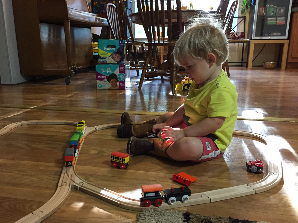 On Friday Kirby went to school and Mom and Dad were at work. Kasen usually goes to day care but he stayed with me all day.
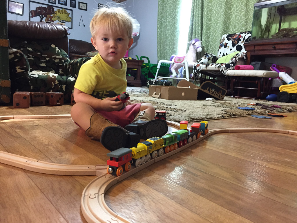 He is very self-reliant for a toddler and can entertain himself well.
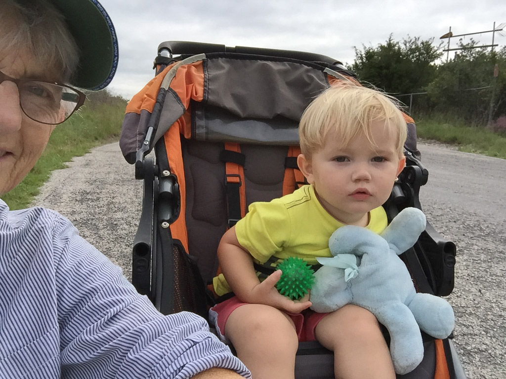 I enjoy taking the kids outside for at least part of the time. The weather this day was very pleasant.
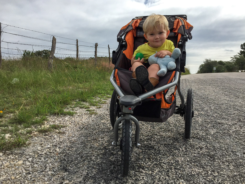 We walked to the end of the smaller road where it meets the main road. Kasen loves trucks and tractors and anything with wheels. So we started watching and listening for trucks.
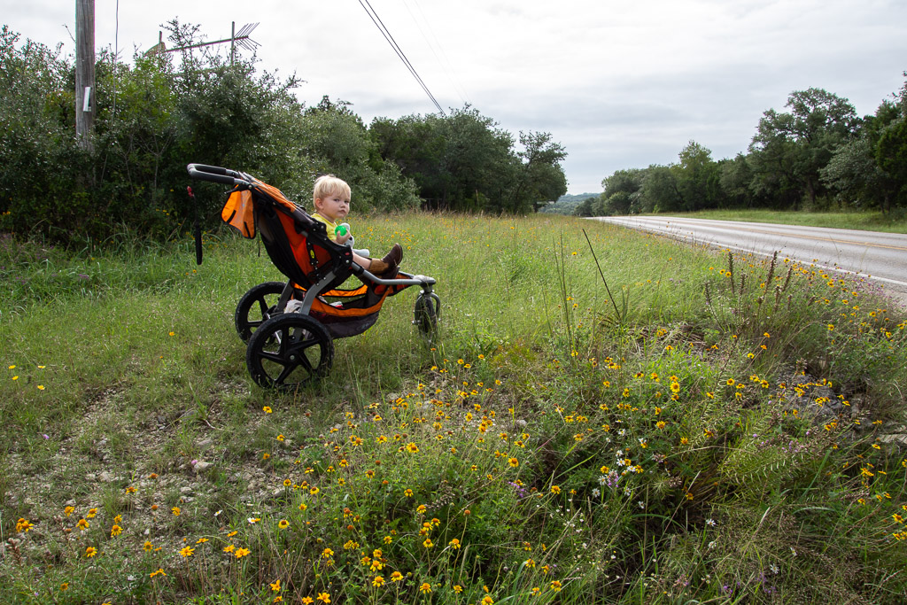
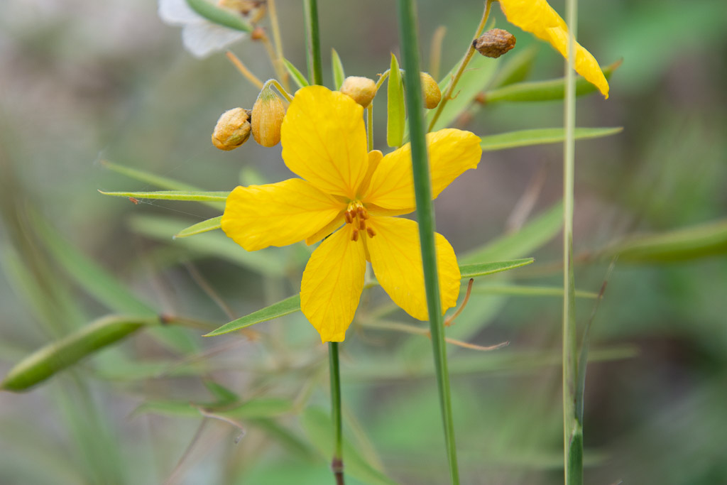
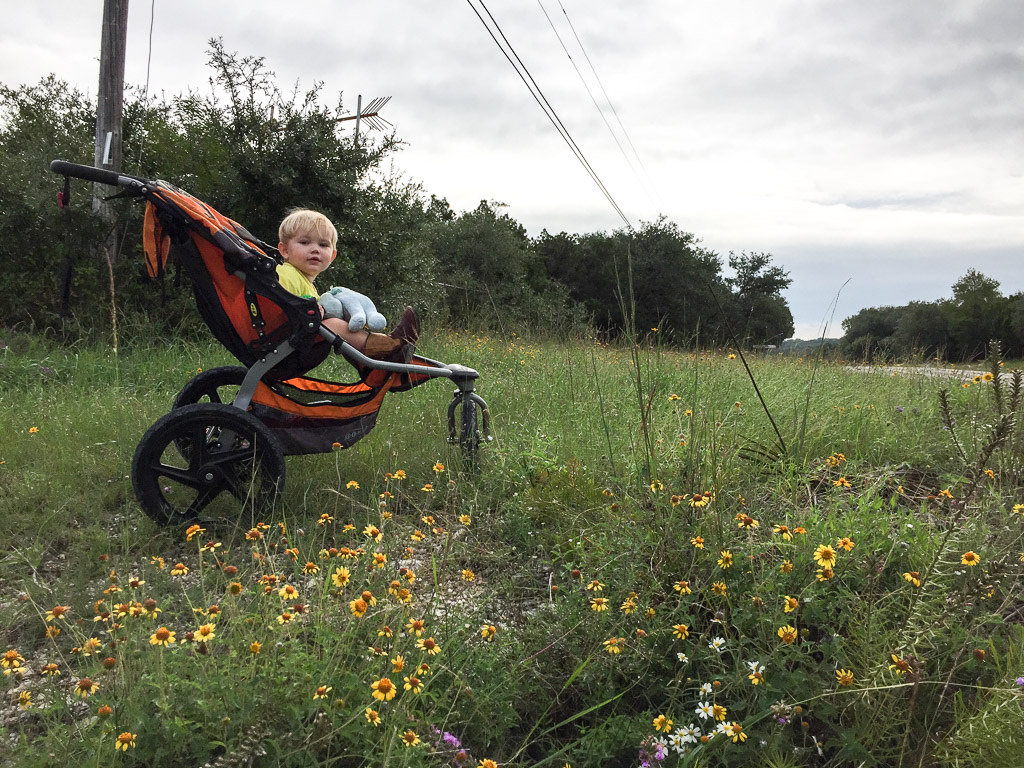 I moved him to the bank on the road where we could watch both directions (By the way, look at all those flowers--it's been raining in Hill Country.) I'd hear a vehicle and ask if it was a truck or a car? "Car." We waved. Some of the trucker's blew their horns. This entertained Kasen for at last half an hour.
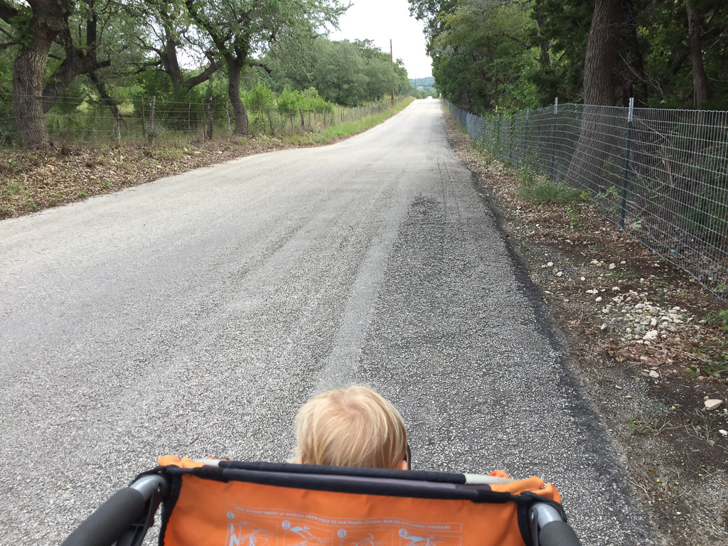 The road home.
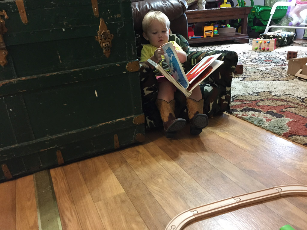 Back home with a favorite book, "Brown Bear, Brown Bear, What do you see?".
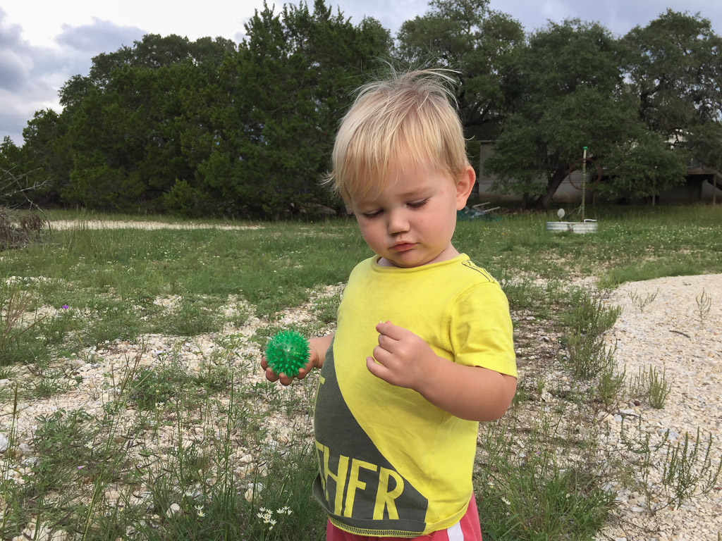 Outside again.
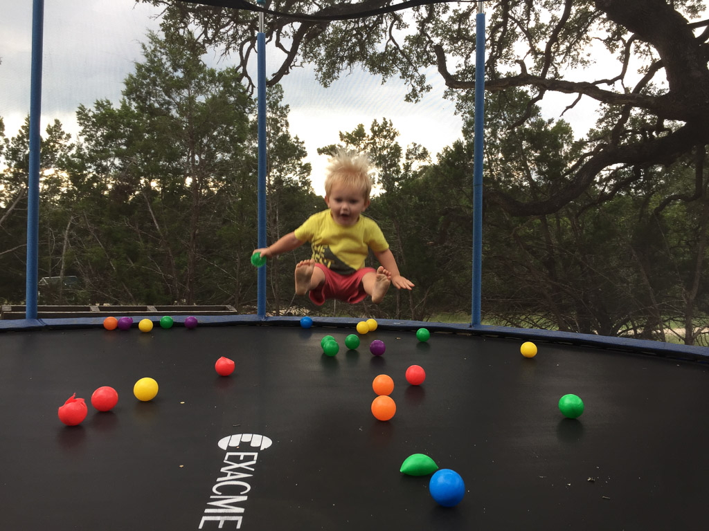 Katie and Kurtis have set up a play area for the kids--easier to keep track of them at this age than having them running through the dry grass and having to watch out for snakes and fire ants and scorpions.
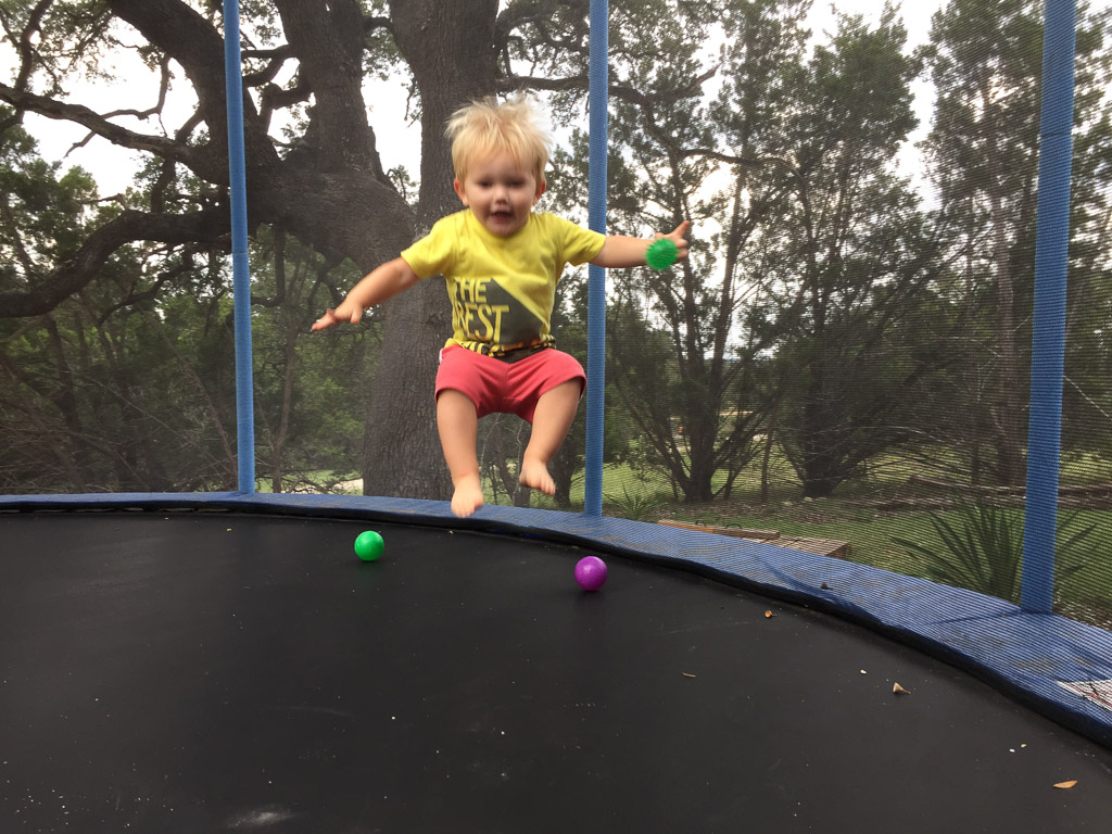 They love the trampoline and I love the trampoline because the kids are contained. (I thought I had better photos but now that I see these iphone photos on my computer I realize that none are sharp.)
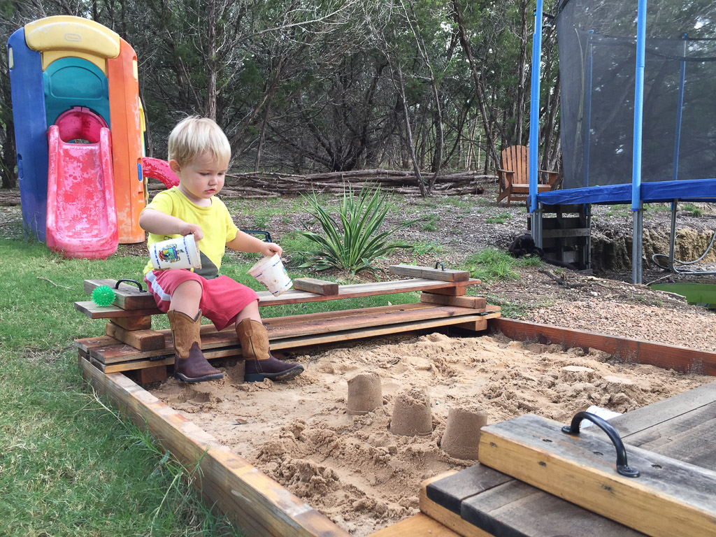 The sandbox (built by Papa Dan) is also a big attraction.
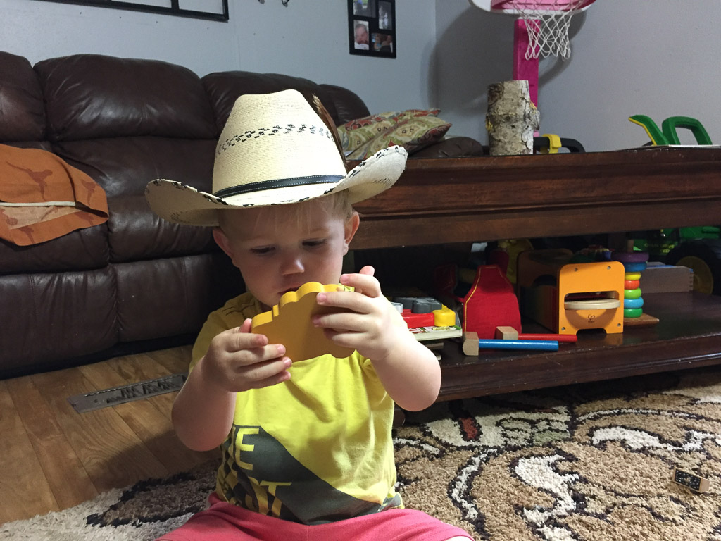 Back inside with puzzles.
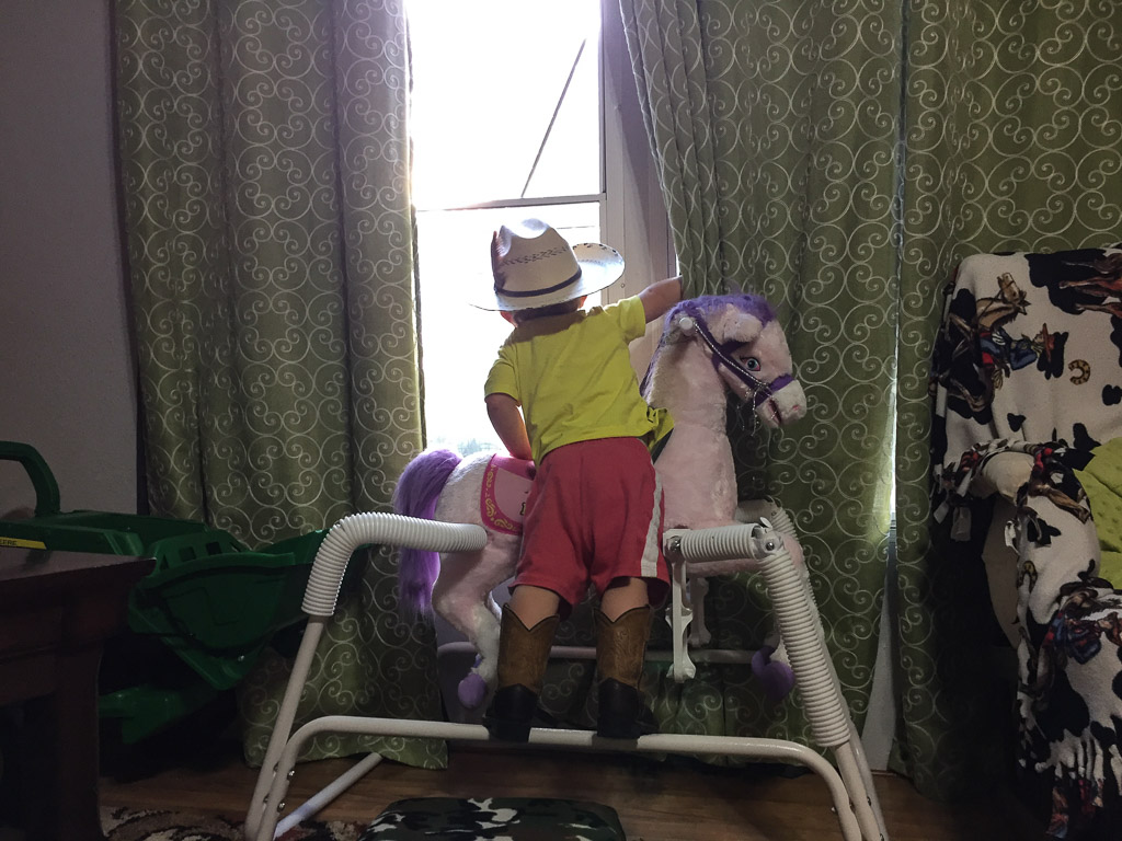 You can hear when someone comes in the driveway. "Mama" or "Dada"!
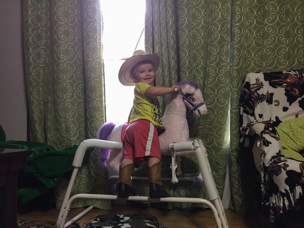 Time to go see who it is.
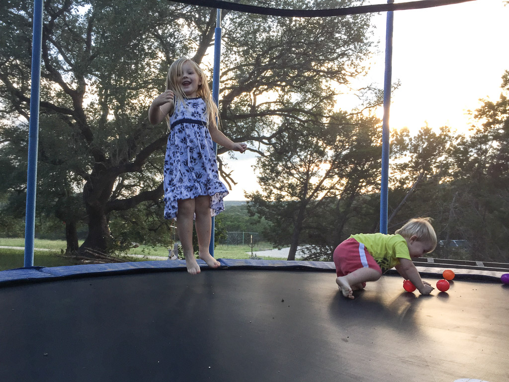 It was Mama with Kirby. Time for the trampoline (champerline according to Kirby) before dinner.
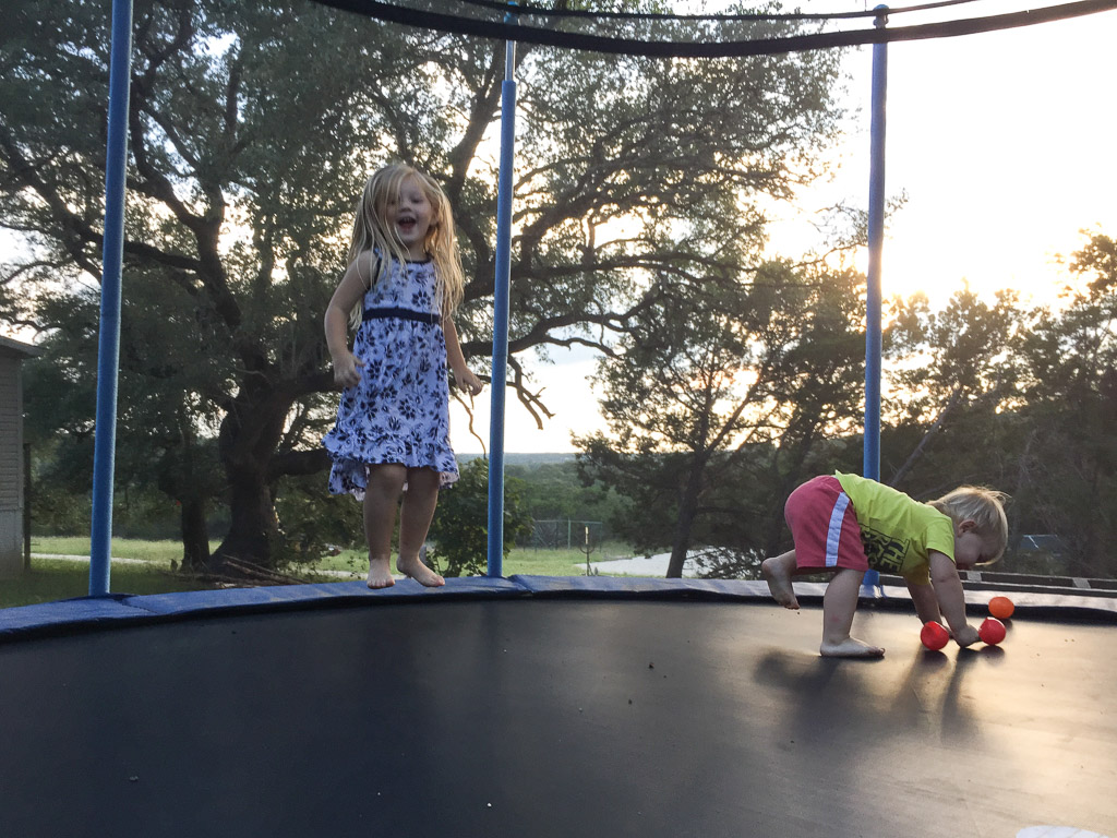 Kirby orchestrates the play time. "I'll be the princess and Kasen is the prince and you be the dragon (or alligator or monster) and you try to get me." Or "You be the alligator and you are sleeping and I'll be the princess and I'm going to get you."
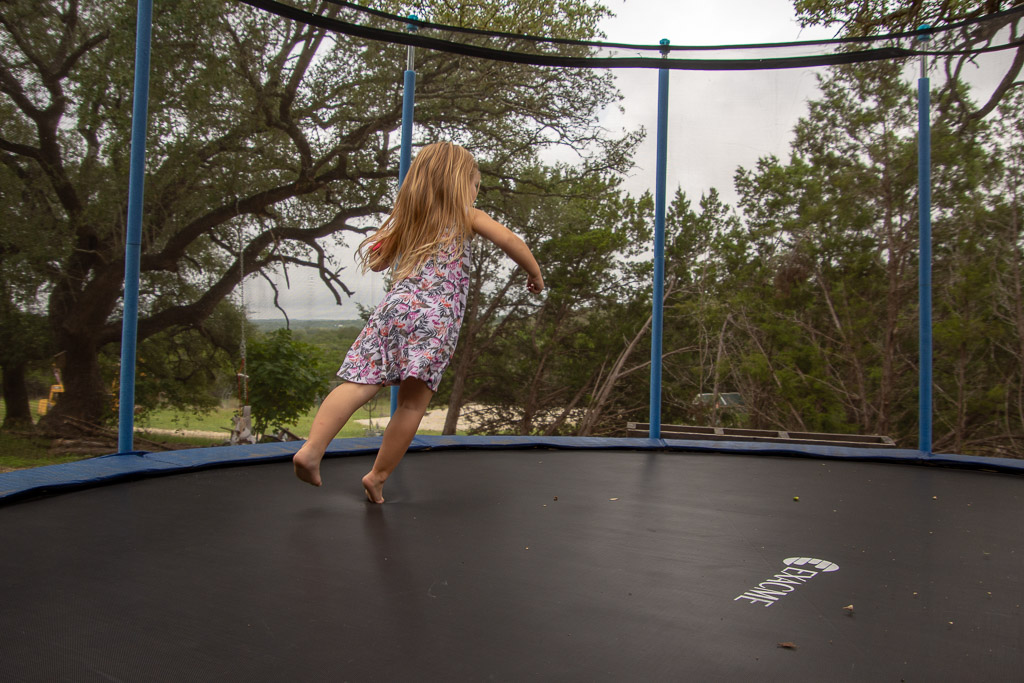
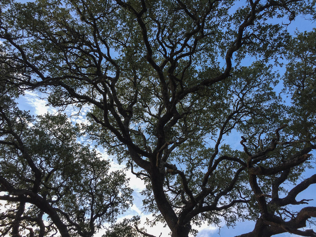 All I really wanted to do was to lie on the trampoline and look up at this amazing oak tree.
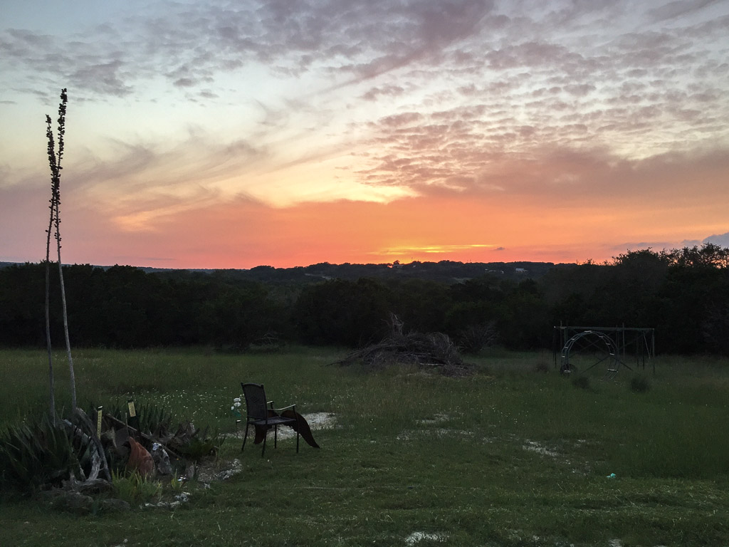 Sunset view.
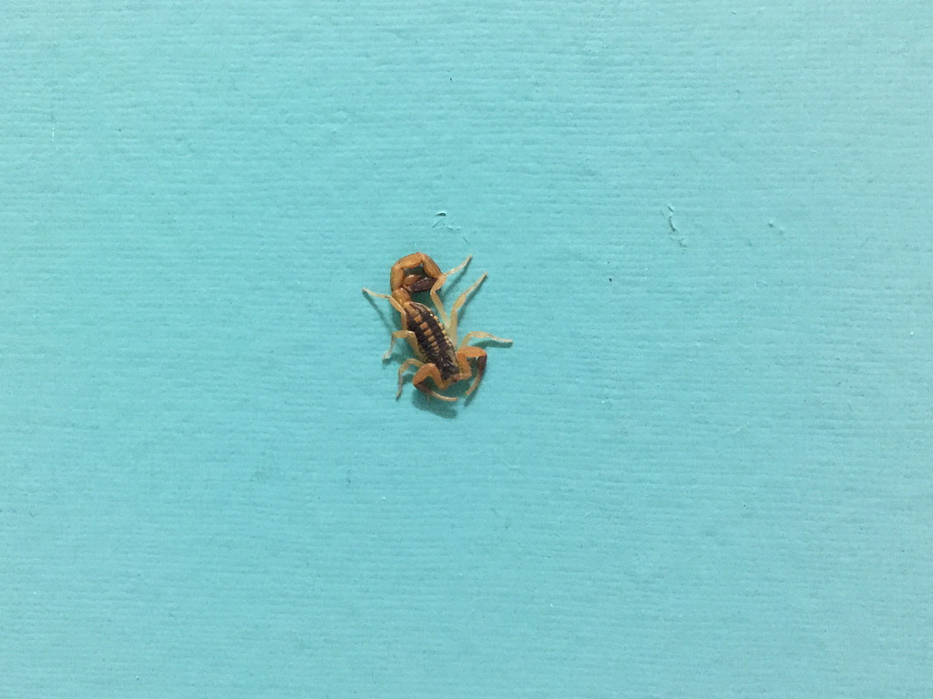 I found this creature on the wall of the mud room. That's one thing I don't have to worry about here.
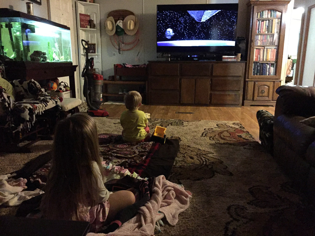 Friday night was movie night. Ice cream and popcorn and getting to sleep in the living room. Kirby chose a Starwars movie but really only wants to see "the princess" and Darth Vader.
 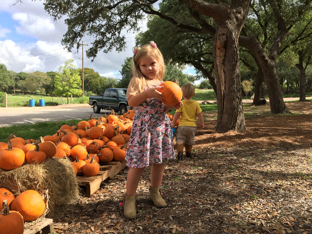 Pumpkin Day. We went to a local nursery to find pumpkins.
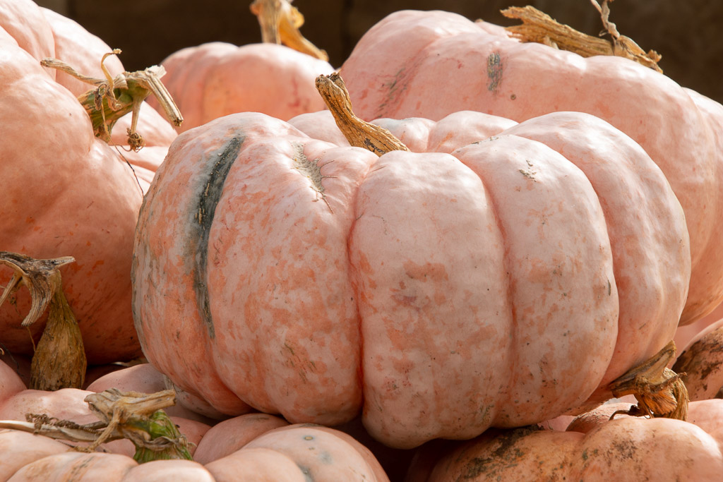
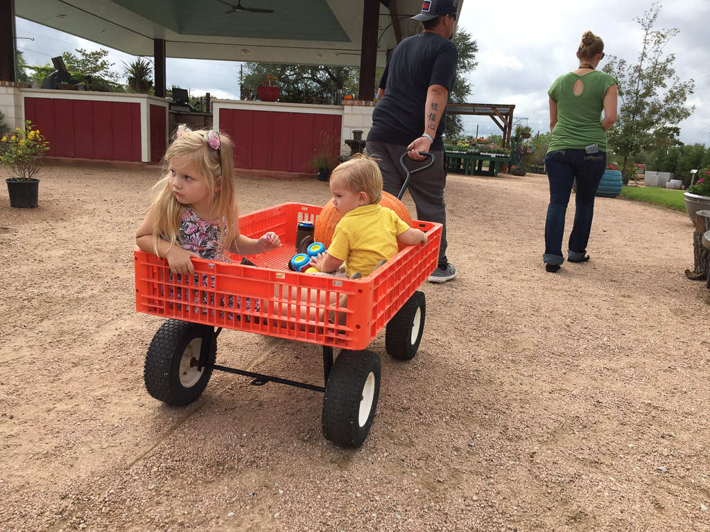 After pumpkin selection we went to the chicken yard to select a couple of new chickens to replace some that had been killed.
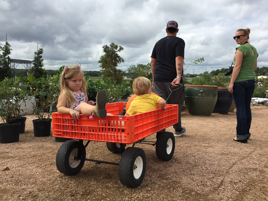 Does someone have an attitude? The look on Kirby's face reminds me of one of me at that age when I was looking at my little brother.
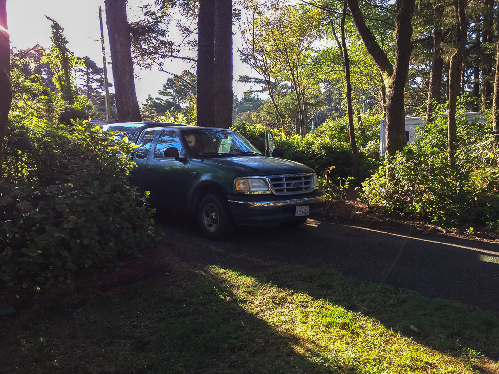 Our campsite the previous night was at Beachside State Recreation Site south of Waldport, Oregon. The campsite wasn't much since we backed up right to Hwy. 101.
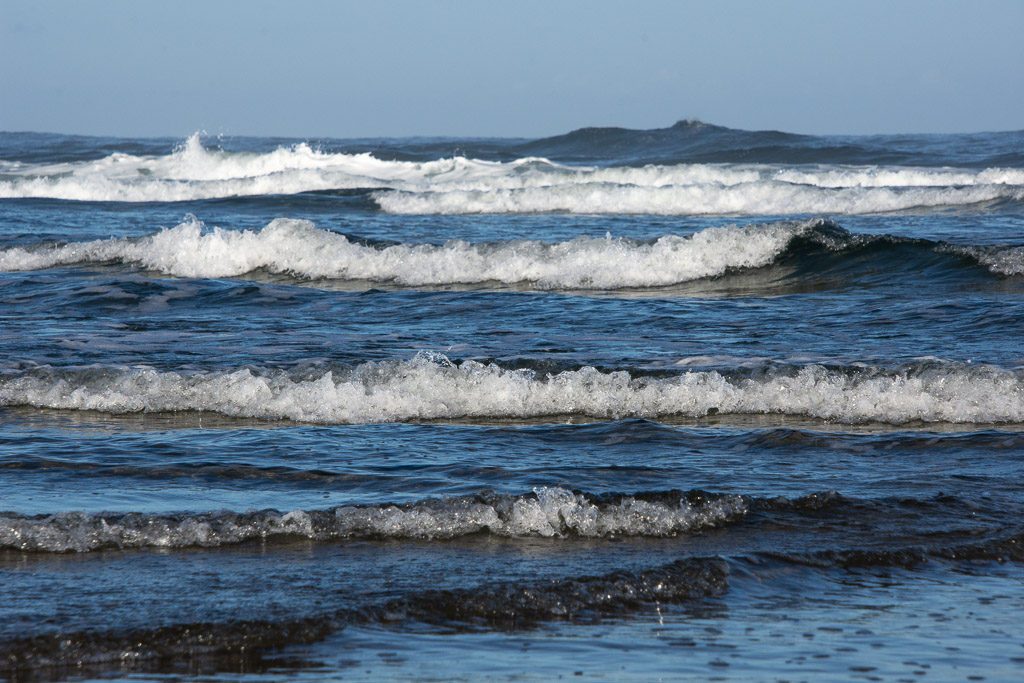 However, in the morning we walked along the beach for awhile and were amazed at the mild weather and beautiful beach. Growing up in Sonoma County, CA (me) and Oregon (Dan) we both have the impression of the northern CA coast and Oregon coast as being wild, windy, and cold. This beach on this day was gorgeous and I could imagine sitting in the sun and enjoying a book...no time for that today.
 We explored the beach for awhile...
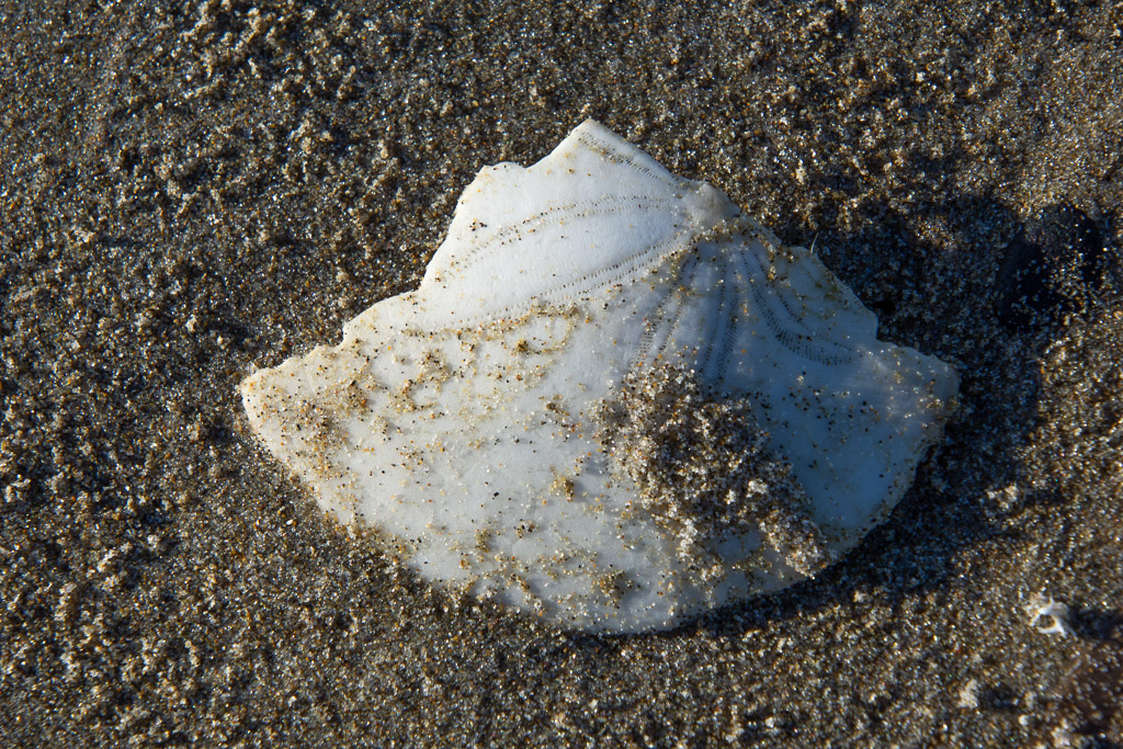 ...but had to get on the road.
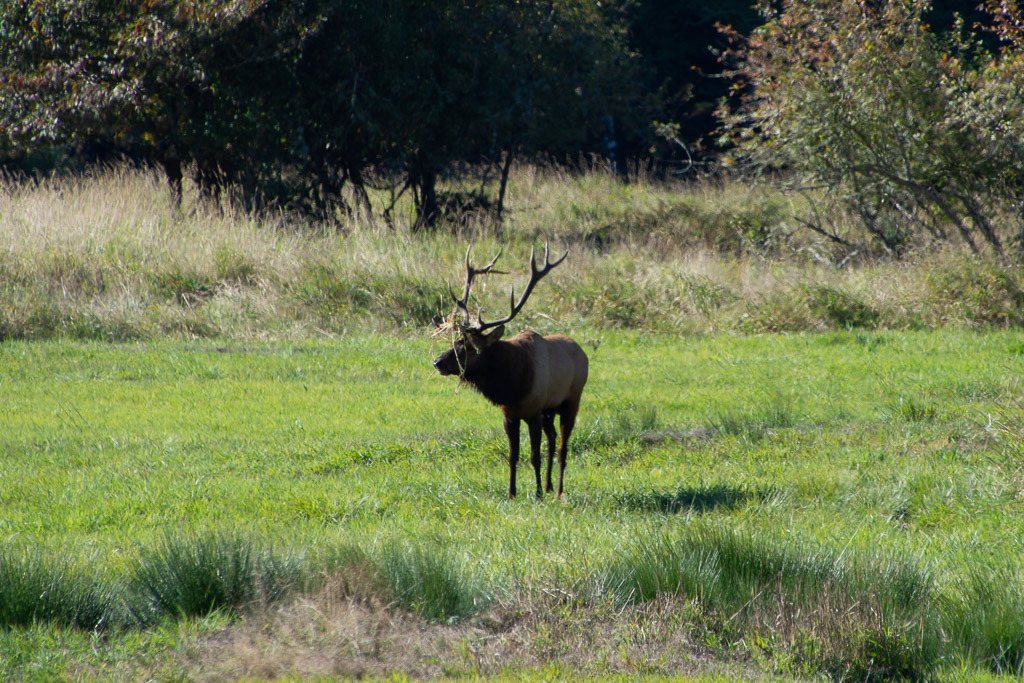 We drove down the coast to Reedsport where we turned east along the Umpqua River. On the map I saw Elk Viewing Area. Sure enough, there were elk.
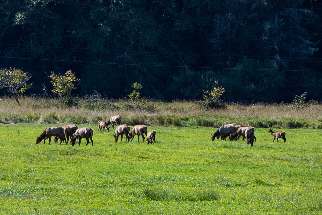
 Crossing the Umqua River. By the way, all the rest of these photos are "drive-by".
 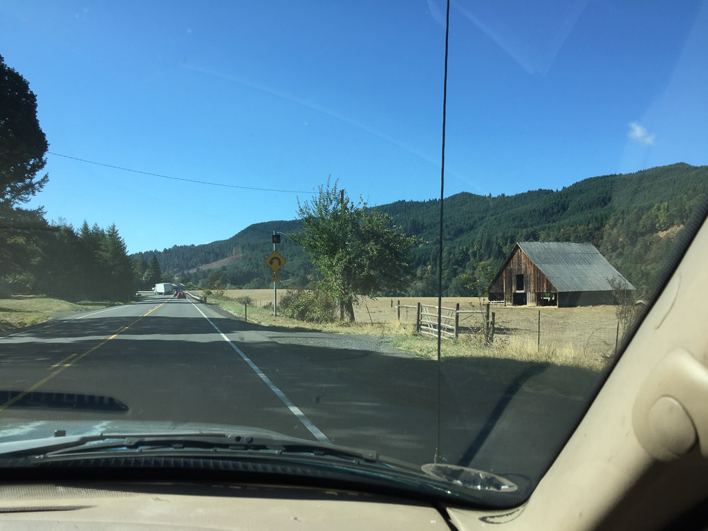 Dan likes to drive and that is fine with me. I amuse myself with photos, most of which will be deleted as soon as I see them. I wish I had a barn like this.
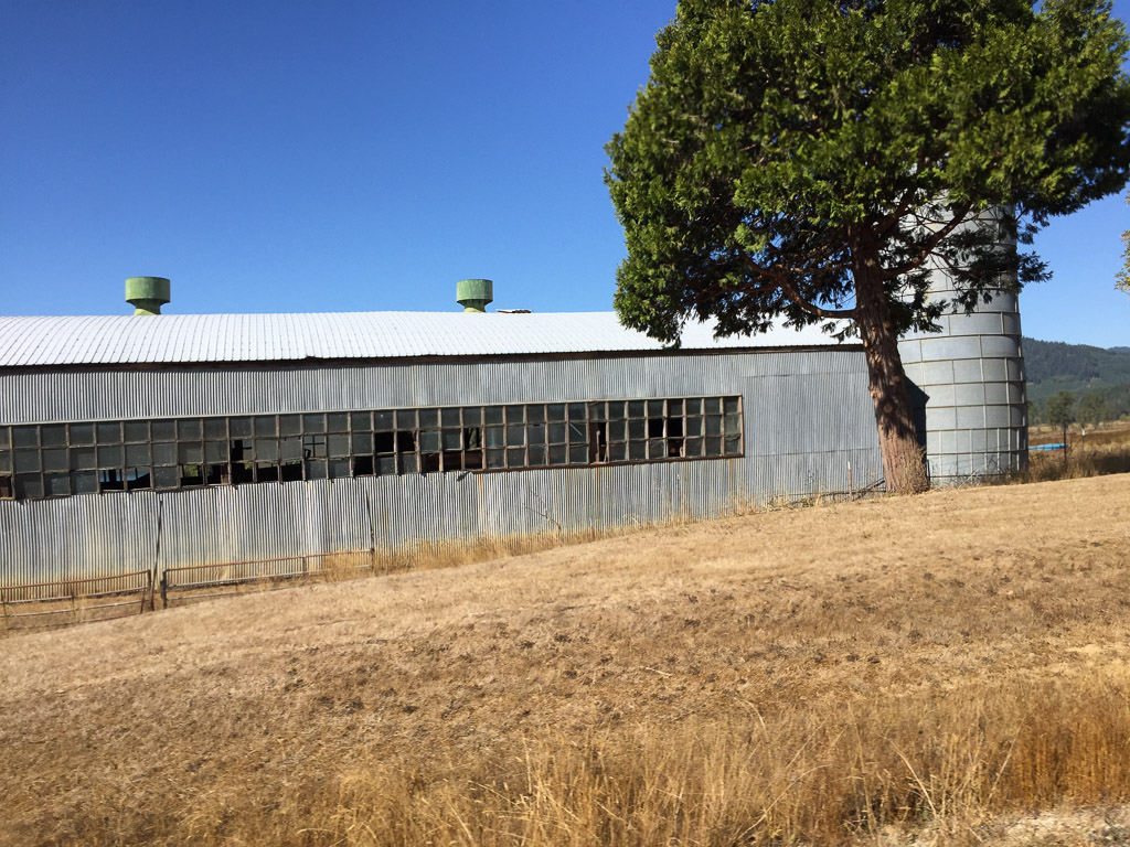 Or this.
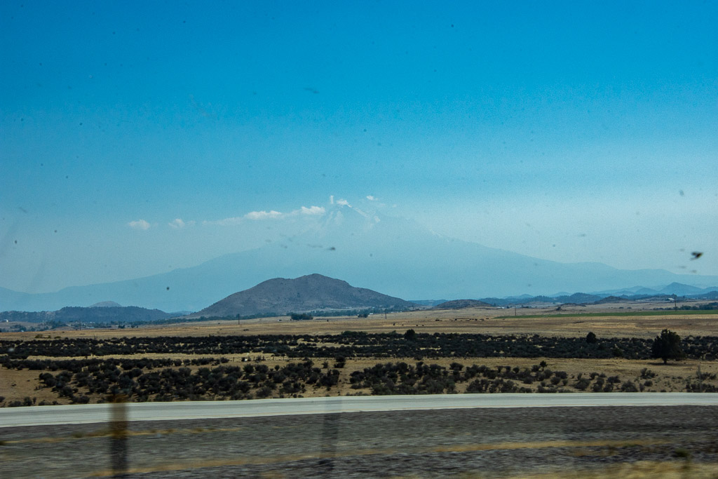 Sign of California. I usually stop at the Mt. Shasta overlook when I'm driving south but this was through the window, the driver's side window at that. The sky wasn't actually that blue but I enhanced the photo so you could sort of see the mountain.
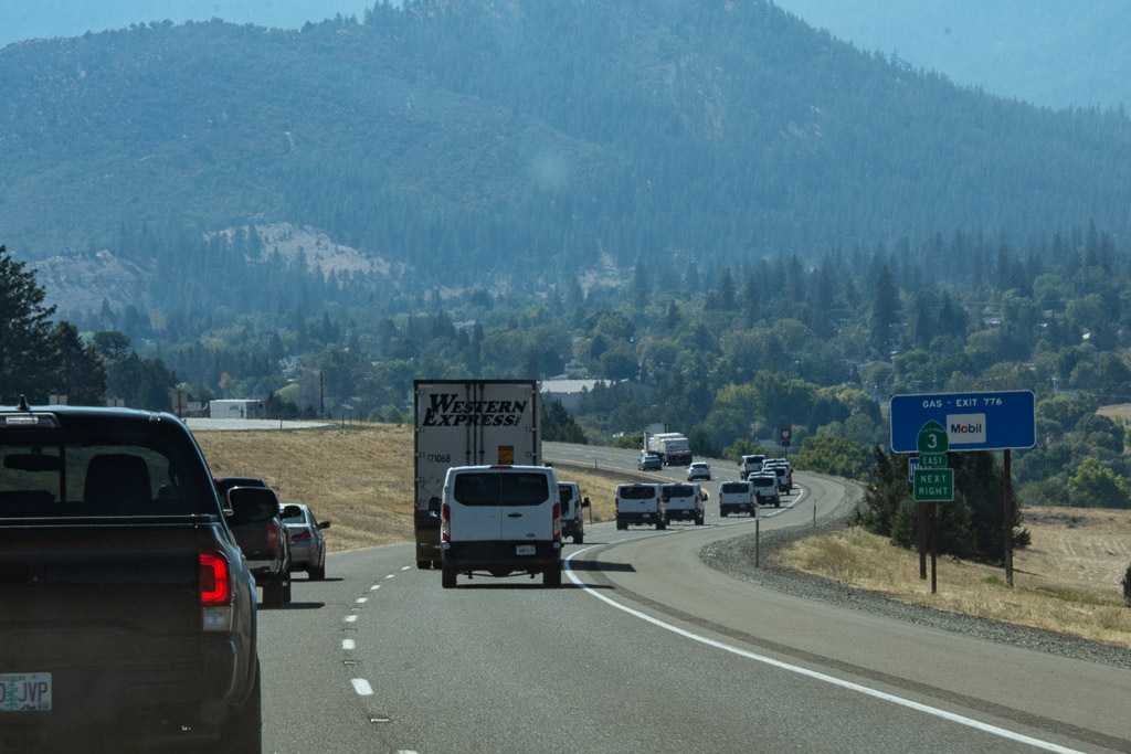 We had an amusing time making up stories about what all those Ford vans were doing.
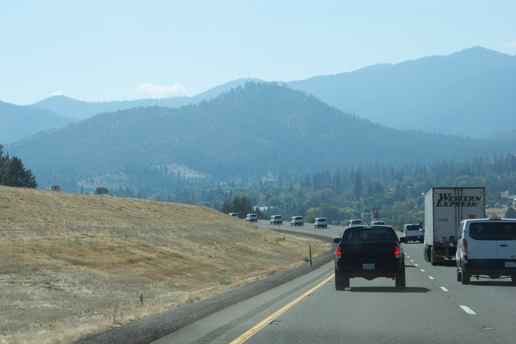 There were about a dozen and all the same.
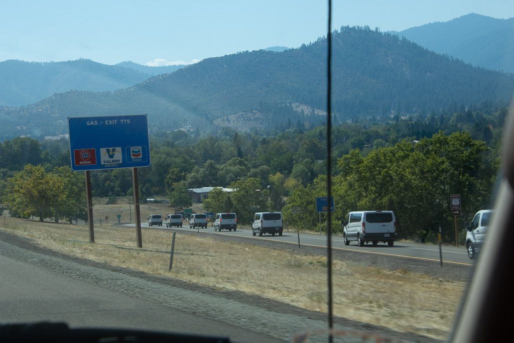 We passed them. They passed us. Finally they exited the freeway near Yreka.
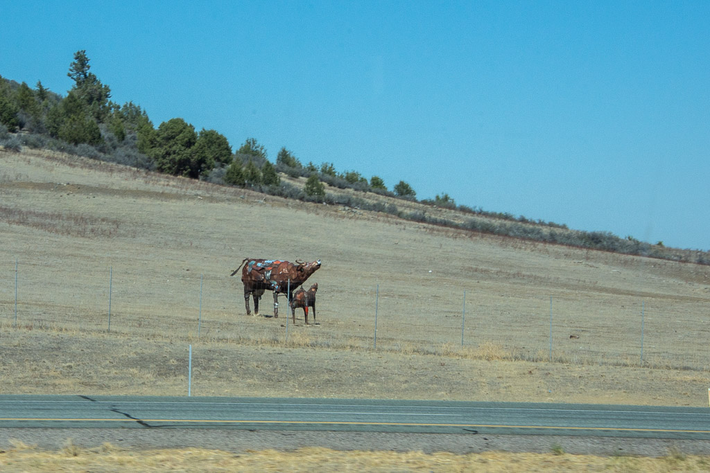 One of the landmarks when driving on I-5 northbound. I finally got a photo.
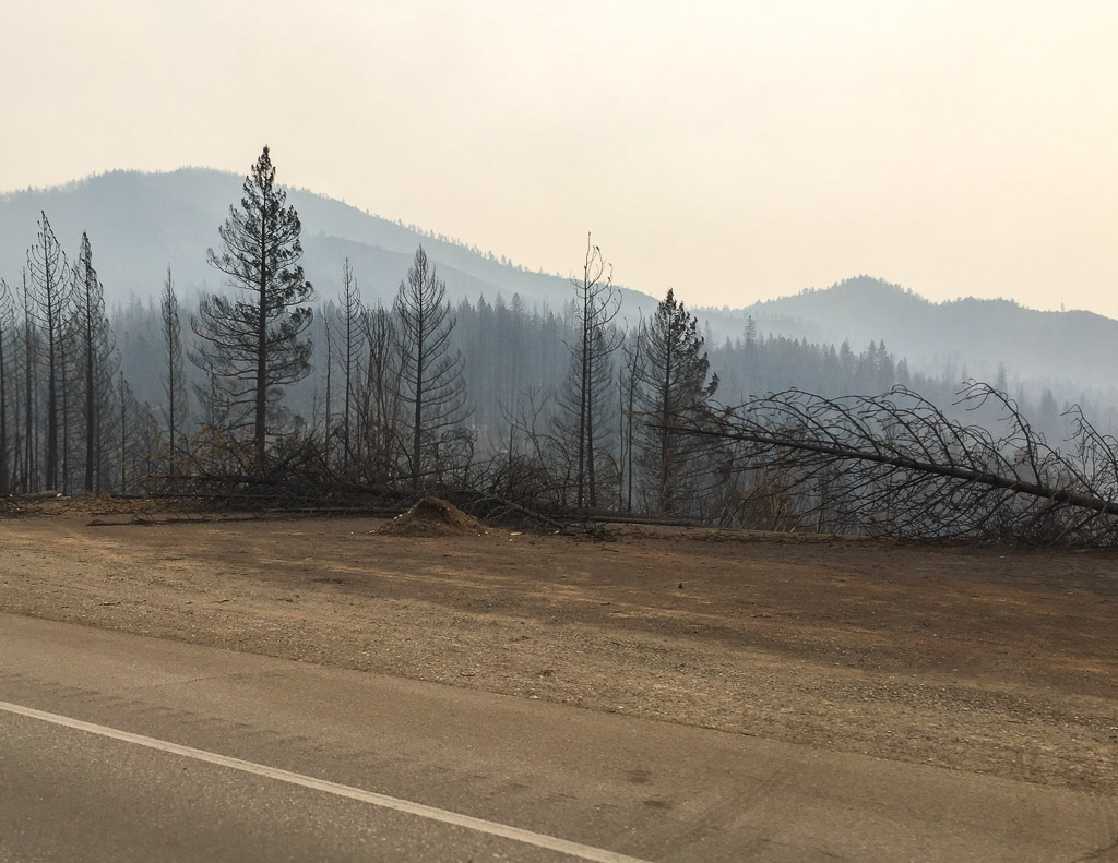
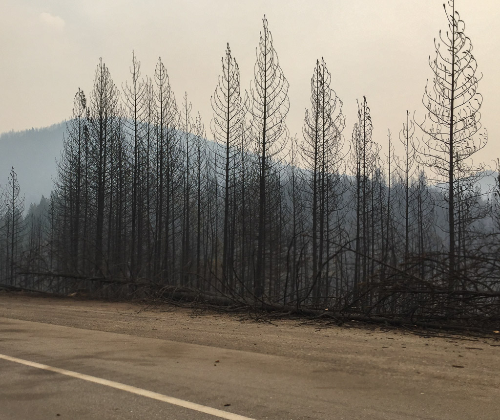
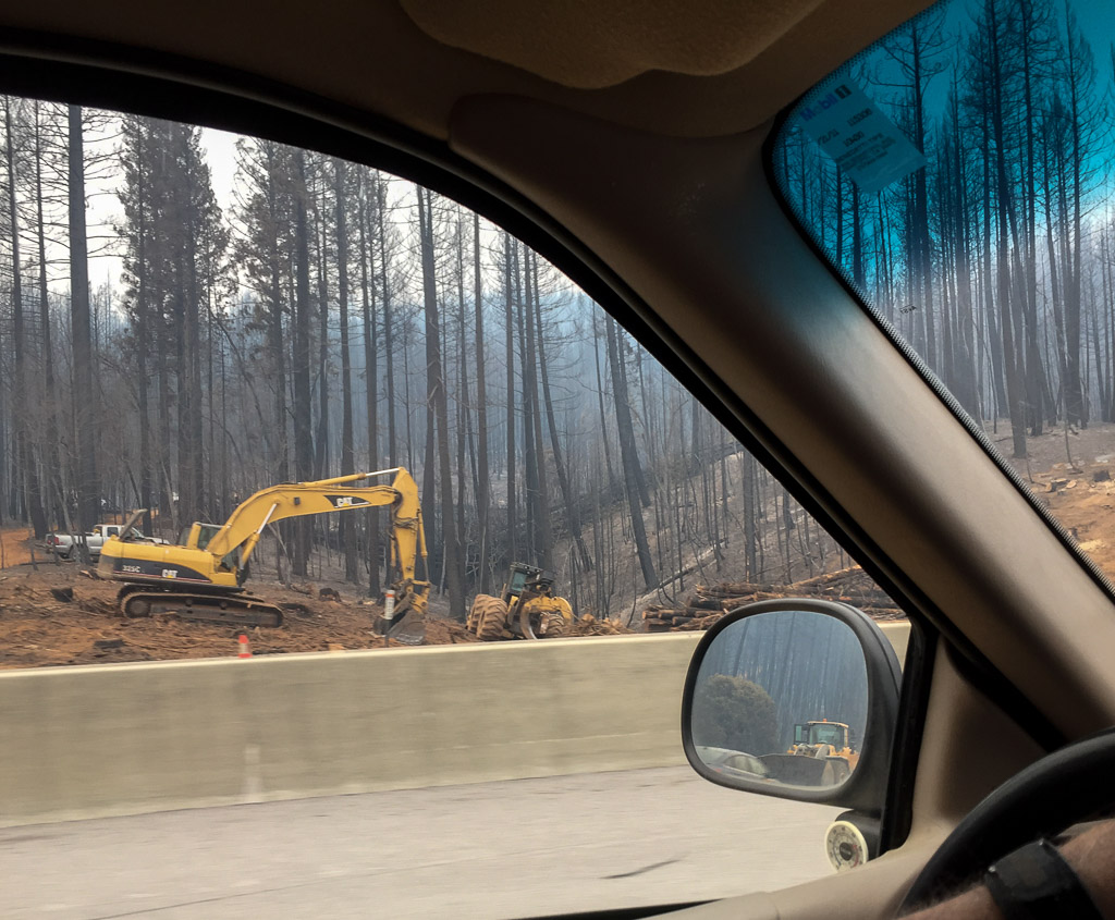
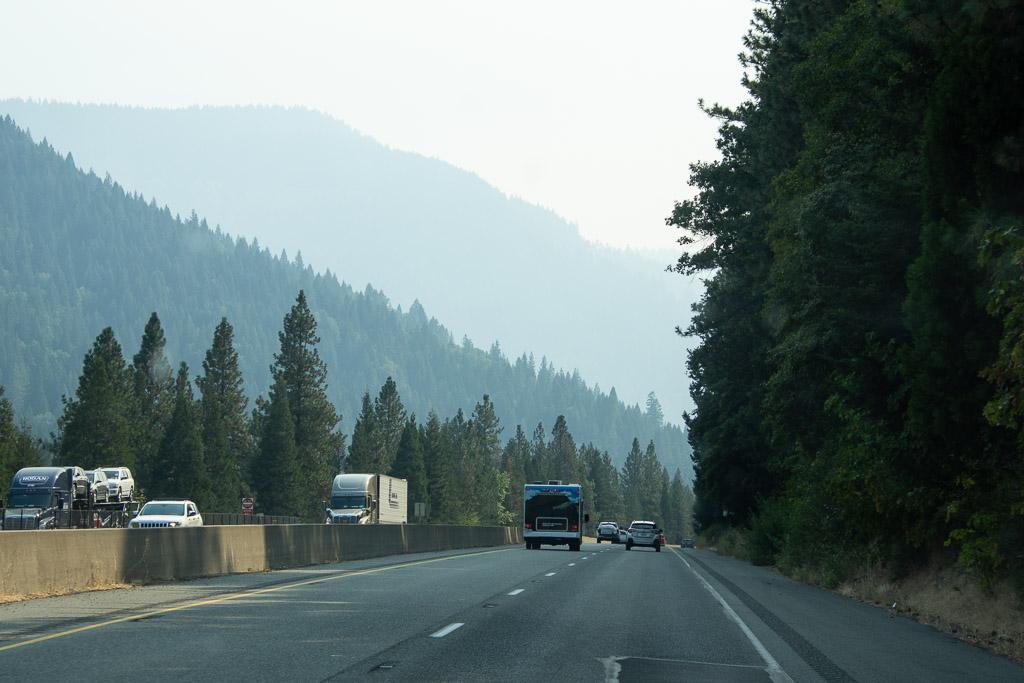 Approaching the mountains north of Redding. Remember the fire photos from
 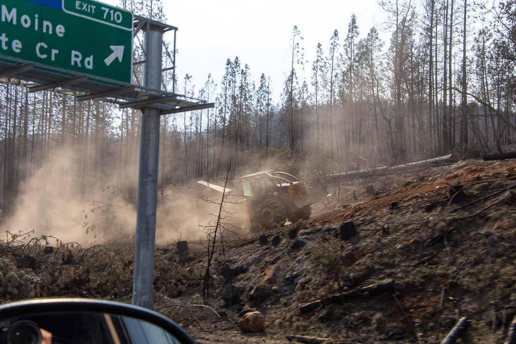 Crews are still at work removing trees.
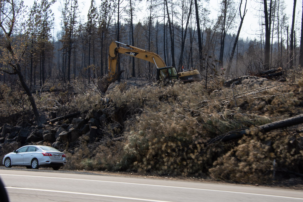 It's a sad sight.
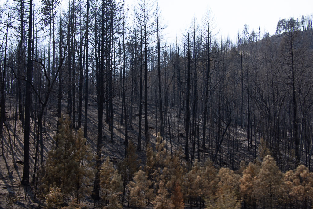
 And it was still burning.
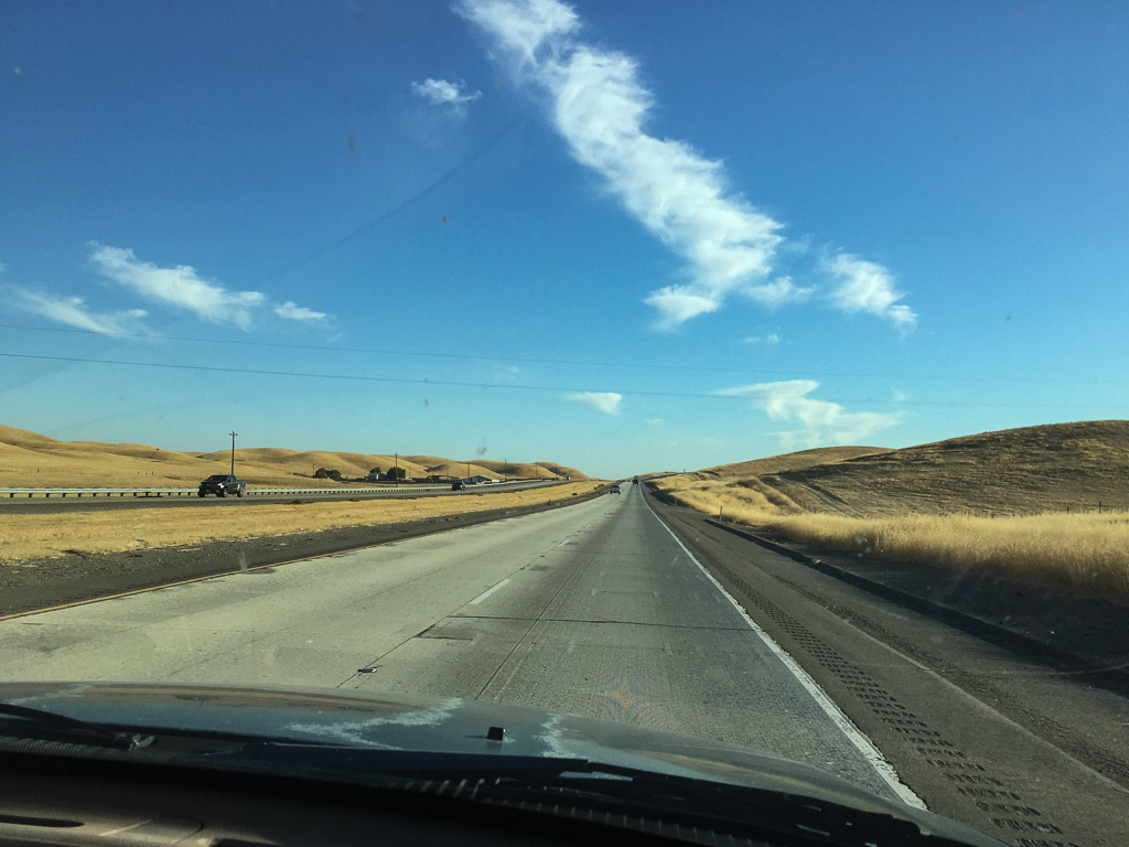 Almost home. When driving south on I-5, we take 505, the cut-off towards the Bay Area instead of taking I-5 as it curves east towards Sacramento. I always love these hills.
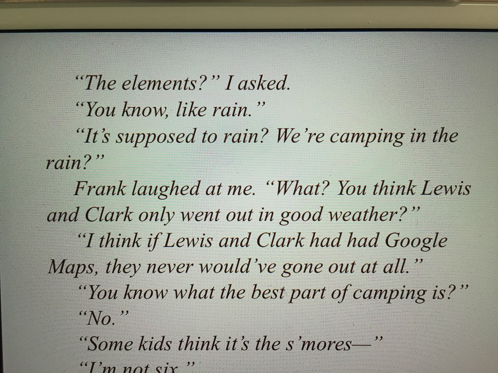 One more thing. I was reading a murder mystery the next week (while on my next adventure) that happened to be set in the Olympic Peninsula. I had to photograph this passage to text to Dan.
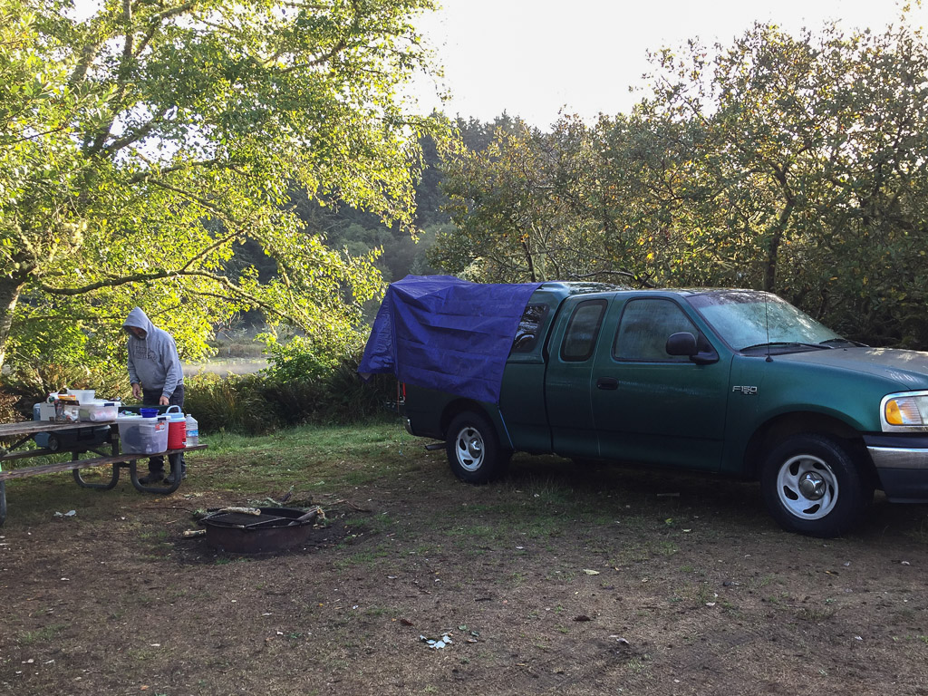
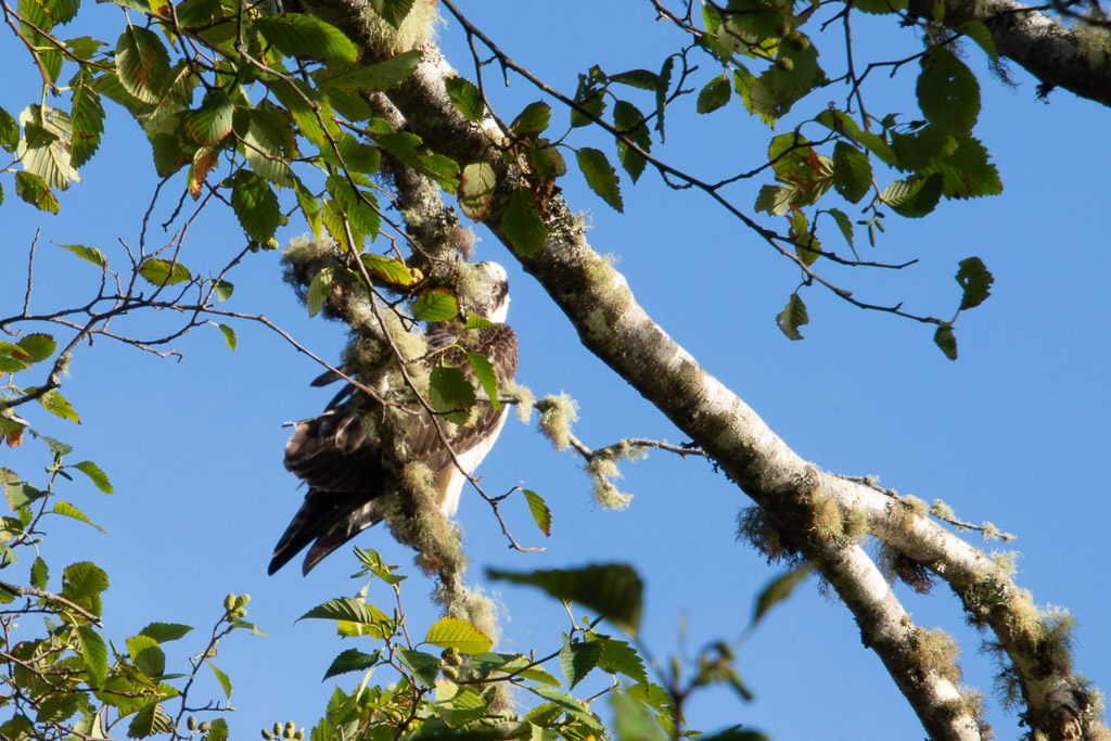 There is a small lake just behind the campsite and in the morning I heard this osprey. I watched quite awhile trying to get a better photo. Eventually he (she) spotted fish and I watched him dive three times, always coming back to watch from this tree. I was surprised at his loud splashdown.
 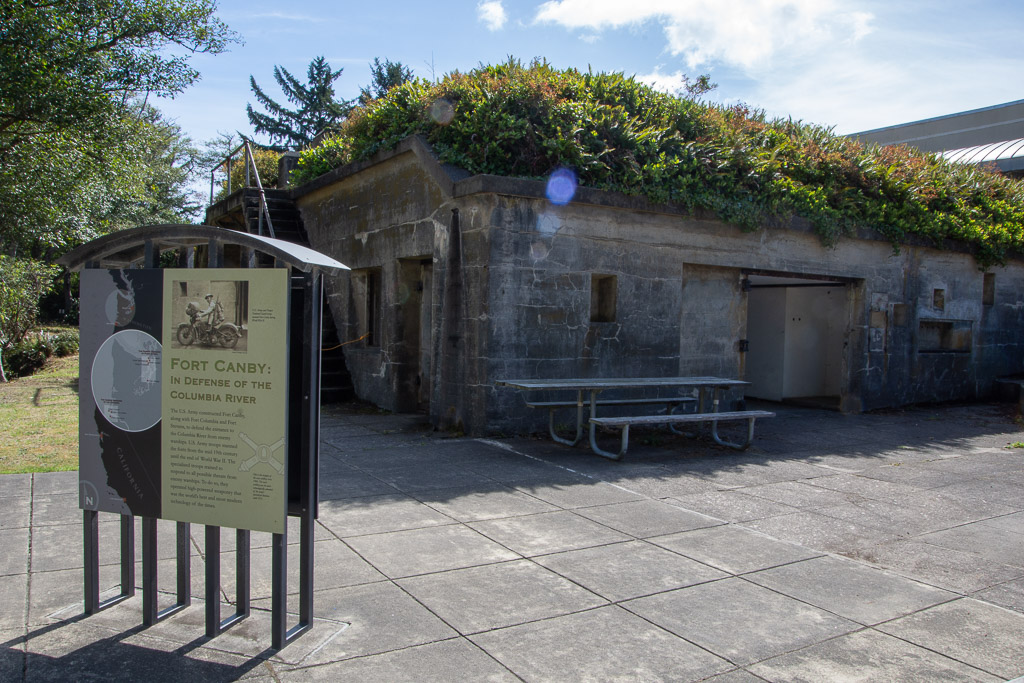 We drove over to the Interpretive Center of the Park. Outside the Lewis & Clark Center is the old Fort Canby, built to defend the entrance to the Columbia River and manned by U.S. Army troops from the mid-19th century through the end of WWII.
 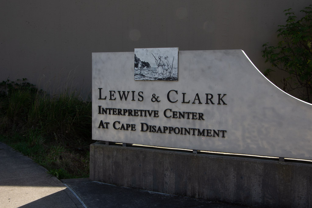 We spent a couple of hours here and I highly recommend it. Dan had recently read a book about Lewis & Clark so the details of their story was fresh in his mind. I didn't take photos inside except for this that reminds me of something that looks like it might belong in a weaving studio:
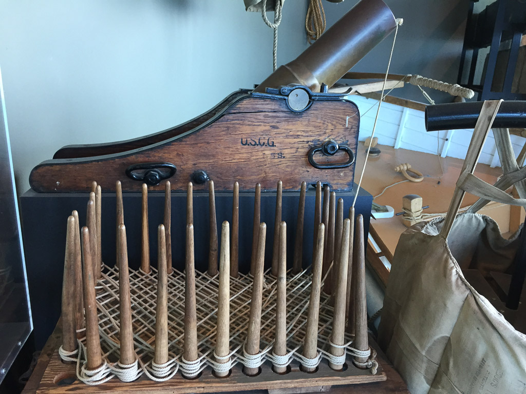 This is a faking box and the thing behind it is a Lyle gun. The sign says "Propelled by a black powder charge the gun propelled a rescue line (hawser) to troubled vessels...The spiked posts were used to wind a rescue line in a special zig zag pattern to prevent tangling in flight when fired from a Lyle gun." There were also paddles. "These paddles with detailed instructions in English and French were sent by rescue line to shipwreck victims."I think it's interesting that there was a special way of winding the line so that it would not tangle.
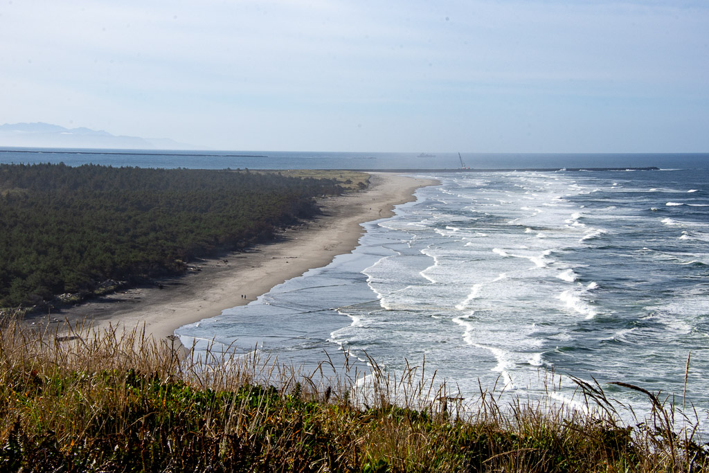 After spending a couple of hours at the Interpretive Center we went to see the second lighthouse in the Park. This view is from the trail to that lighthouse. We are now looking south to the breakwater on the north and can see the one on the south as well. The Columbia River entrance is between the breakwaters.
 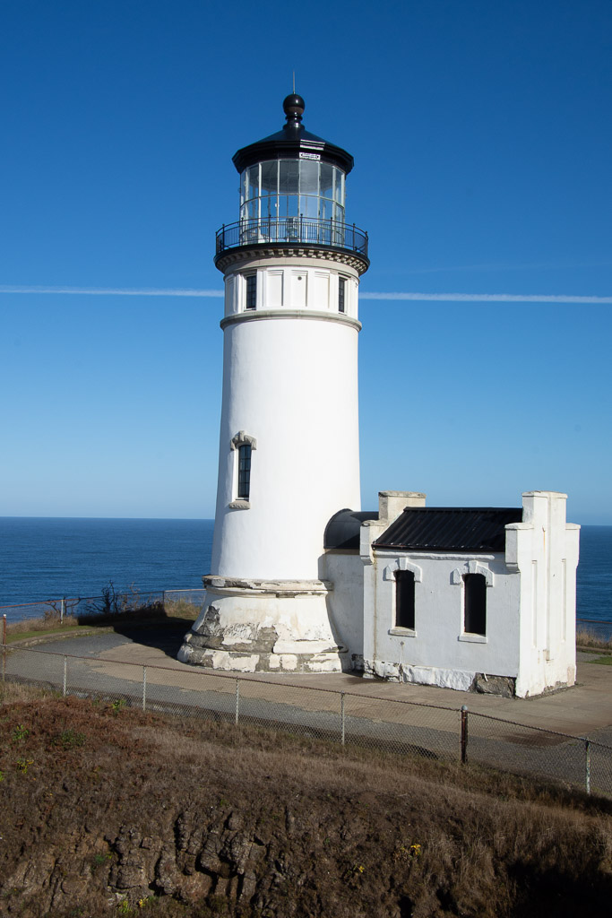 This is North Head Lighthouse, built 42 years after the Cape Disappointment Lighthouse was constructed because there were still too many shipwrecks in this area. It is still in service with an automated beacon. I didn't realize that each lighthouse has a unique pattern of sound and light to aid in navigation, as well as being distinguished by the color and pattern of paint. (This one is under renovation.)
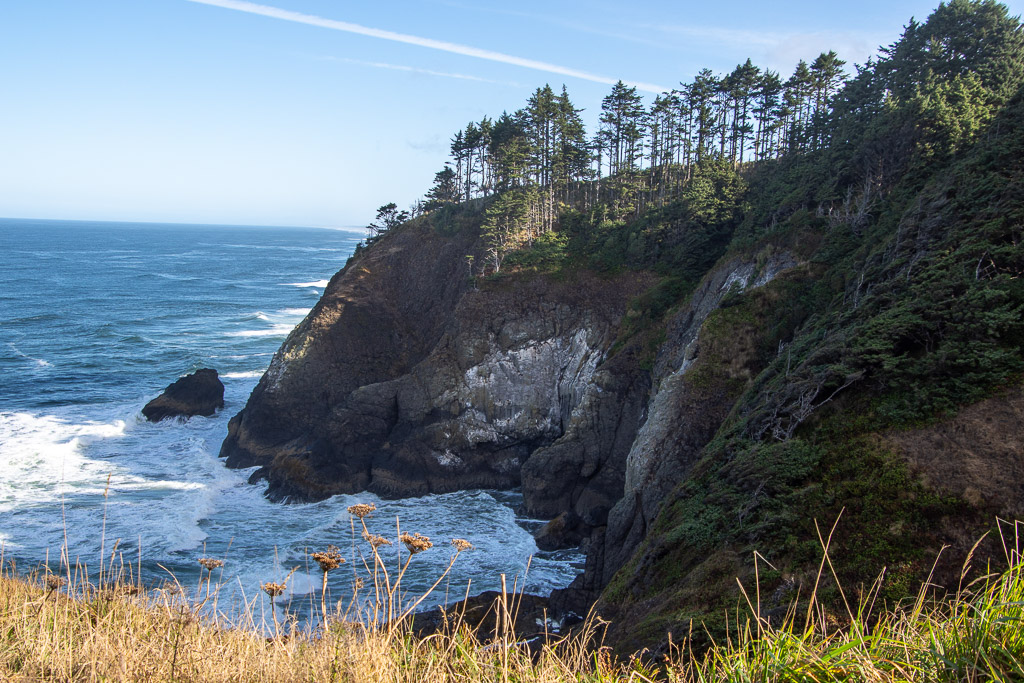 North Head is said to be one of the windiest locations in the U.S. This is the view of the rocky coastline from the north side of the lighthouse.
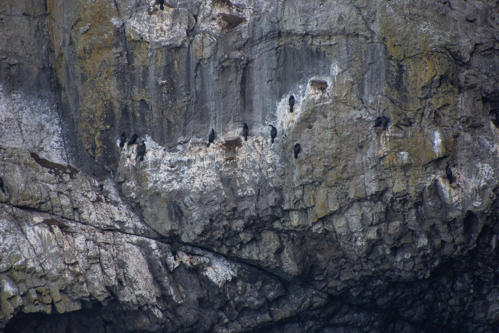 If you look closely at the rocky cliff you see cormorants--somehow gripping the steep rocky wall with amazingly little room to maneuver.
 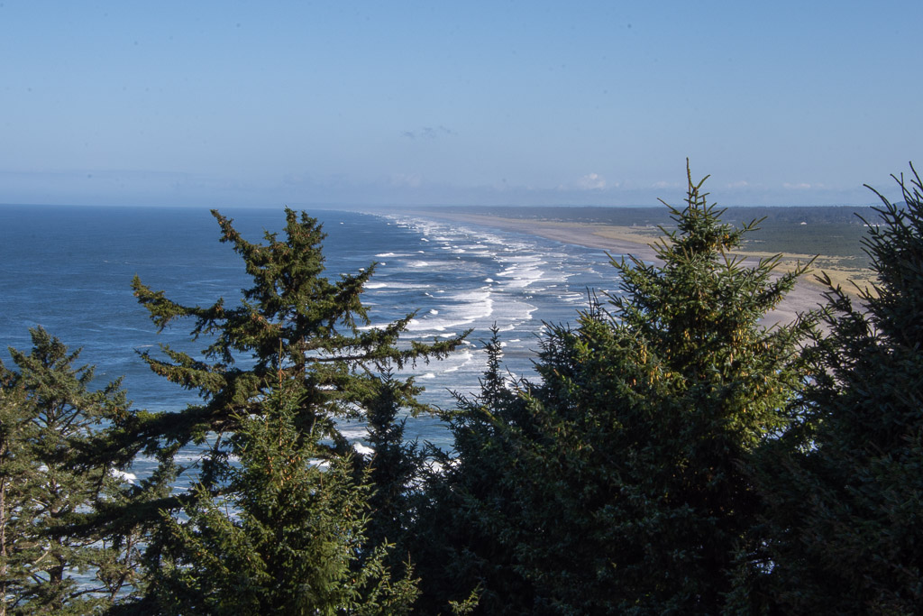 The beach stretches for miles just beyond this rocky point.
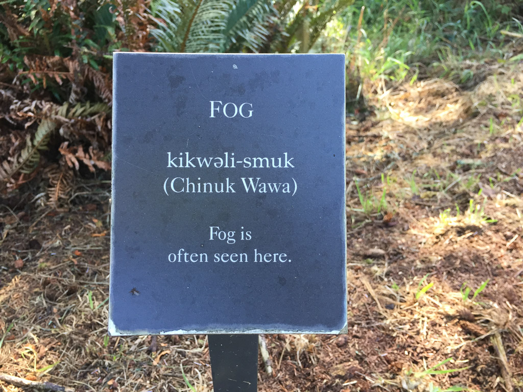 Sign in the forest on the trail that overlooks the beach. The area gets seven feet of rain per year, falling in the fall, winter, and spring. However, during the summer there is fog. Cape Disappointment is one of the foggiest places in the U.S. having 100 days of fog each year.
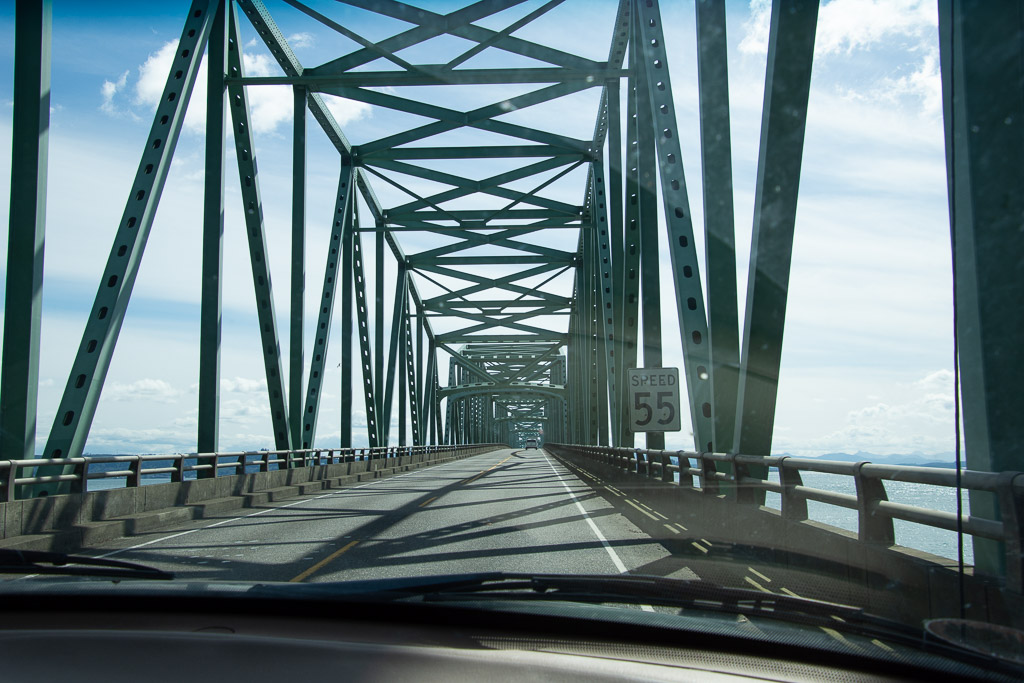 The plan for the day was to get to southern Oregon so that we wouldn't have as long a drive the following day. It was time to get on the road. This is the bridge over the Columbia River.
 Now to find the another part of the Lewis and Clark story near Astoria.
 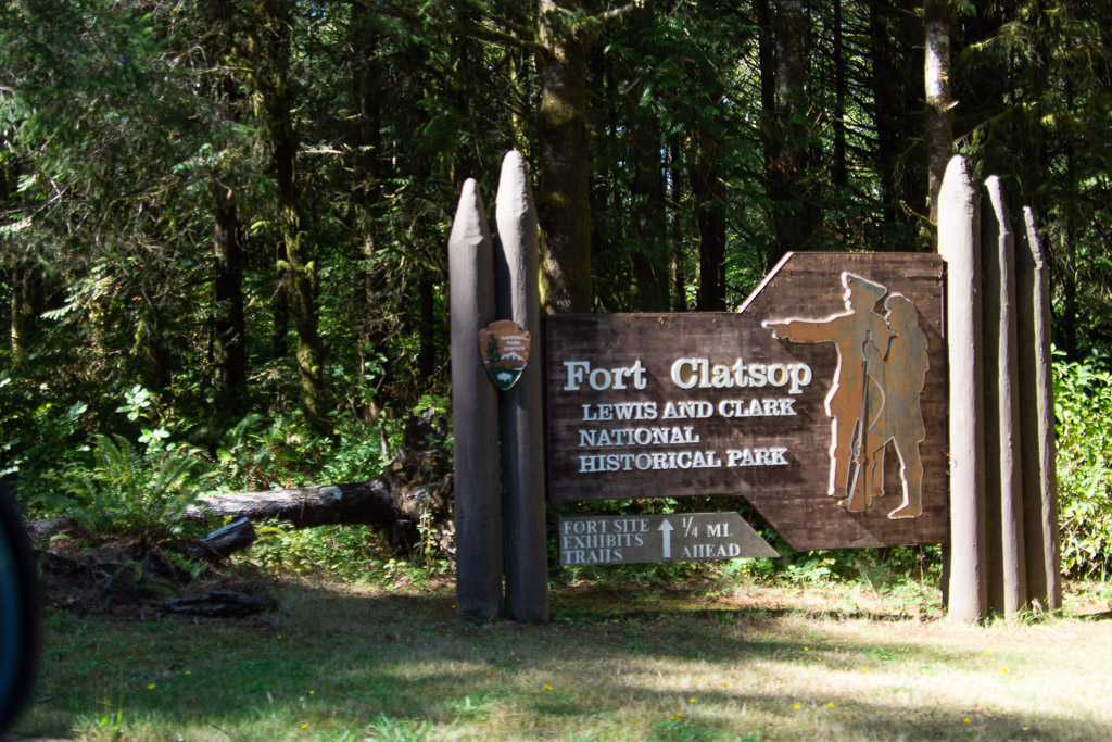 We walked around the Fort and along a trail the followed the river, but we didn't spent a lot of time here, having had such a thorough look at the L&C story that morning.
 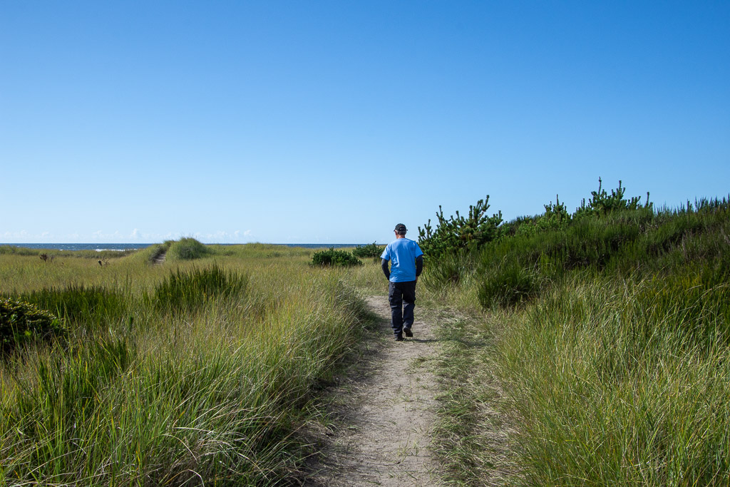 We read about another historic site in the town of Seaside. Before we found the site we walked to the beach.
 Looking north.
 Eventually we found the Lewis & Clark NHP Saltworks, a small fenced area right in the middle of a neighborhood. The expedition had run out of salt and needed more before making the journey home. Three men from the expedition spent six weeks here boiling seawater to secure the salt.
Now we got on the road. I read that the Tillamook Cheese Factory was open to the public and I wanted to stop.
Eventually we found the Lewis & Clark NHP Saltworks, a small fenced area right in the middle of a neighborhood. The expedition had run out of salt and needed more before making the journey home. Three men from the expedition spent six weeks here boiling seawater to secure the salt.
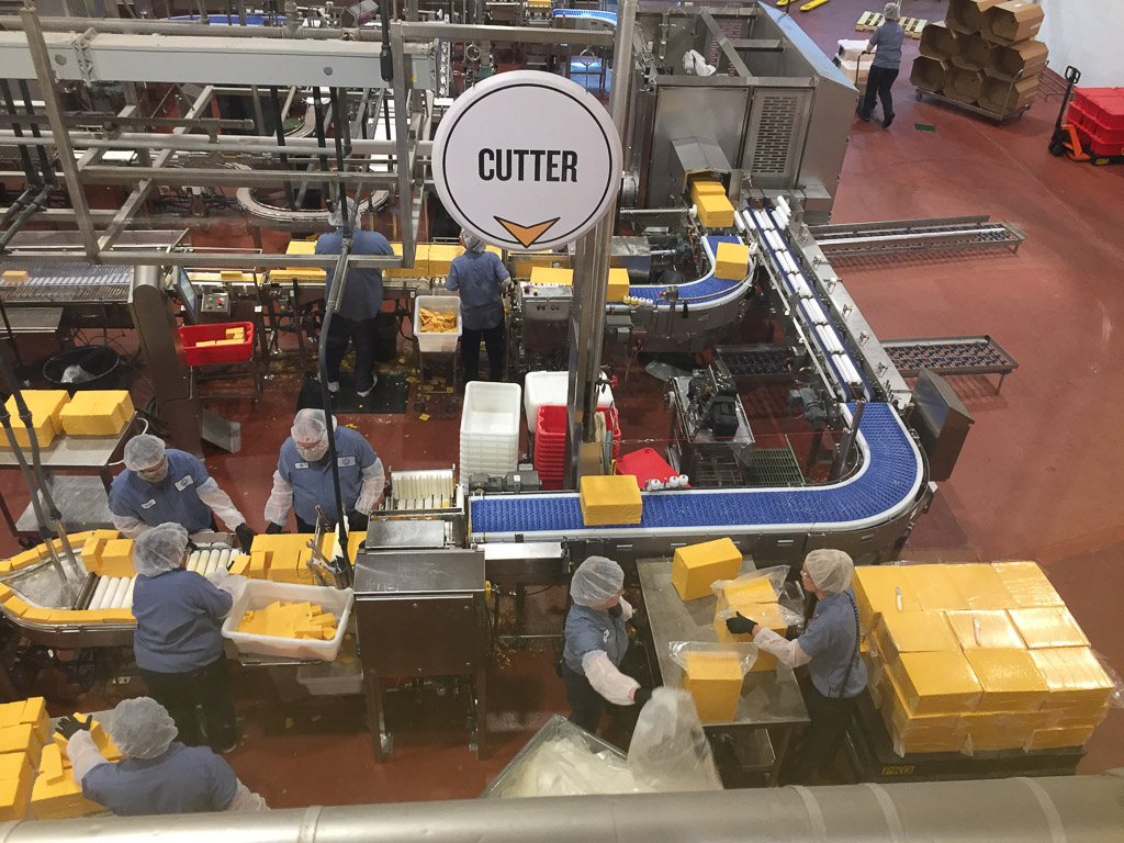
Now we got on the road. I read that the Tillamook Cheese Factory was open to the public and I wanted to stop.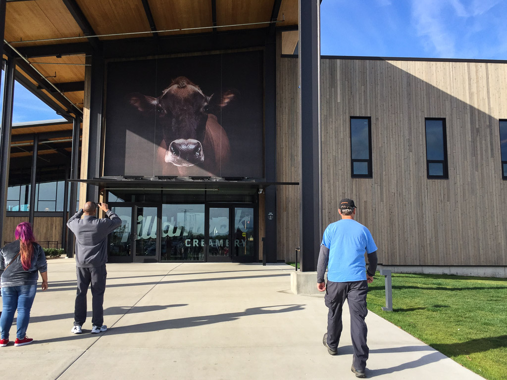 This is an amazing place. It must be just swarming with people during the summer.
 You enter the factory and go upstairs to follow the hoofprints for a self-guided tour.
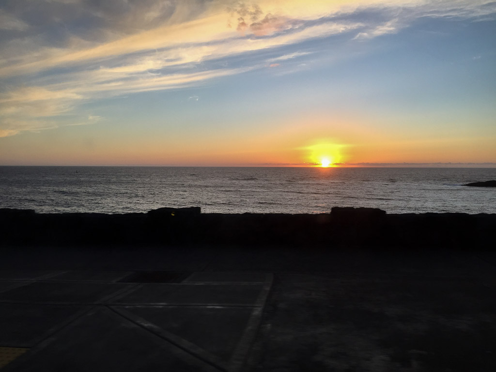 After the tour we got back in the truck and drove. We found a beachside (and highway-side) campground just after dark.
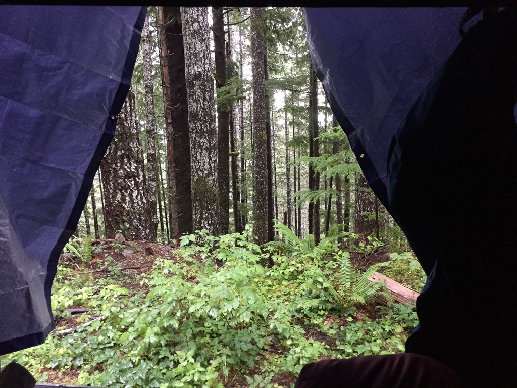 View from the sleeping bag.
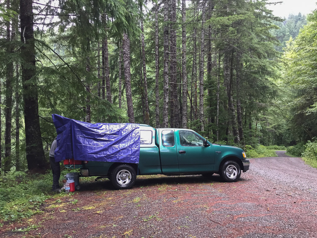 This is where we stayed. We didn't have a good look at it the night before when it was raining and dark.
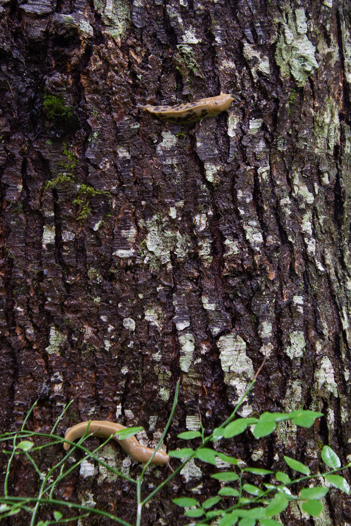 More of my slow-moving wildlife subjects.
We had spent the previous day on the east and north sides of Olympic National Park. We wanted to see the rainforest areas which are on the west side. The place we camped was near Lake Quinault and there are several access points to the Park along the road that follows the Quinault River.
More of my slow-moving wildlife subjects.
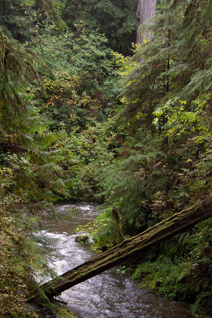
We had spent the previous day on the east and north sides of Olympic National Park. We wanted to see the rainforest areas which are on the west side. The place we camped was near Lake Quinault and there are several access points to the Park along the road that follows the Quinault River.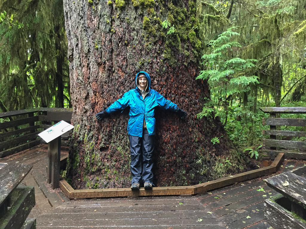 We started with the Rain Forest Nature Trail that leads to Willaby Creek Falls, one of the points on the Waterfall Trail we were following.
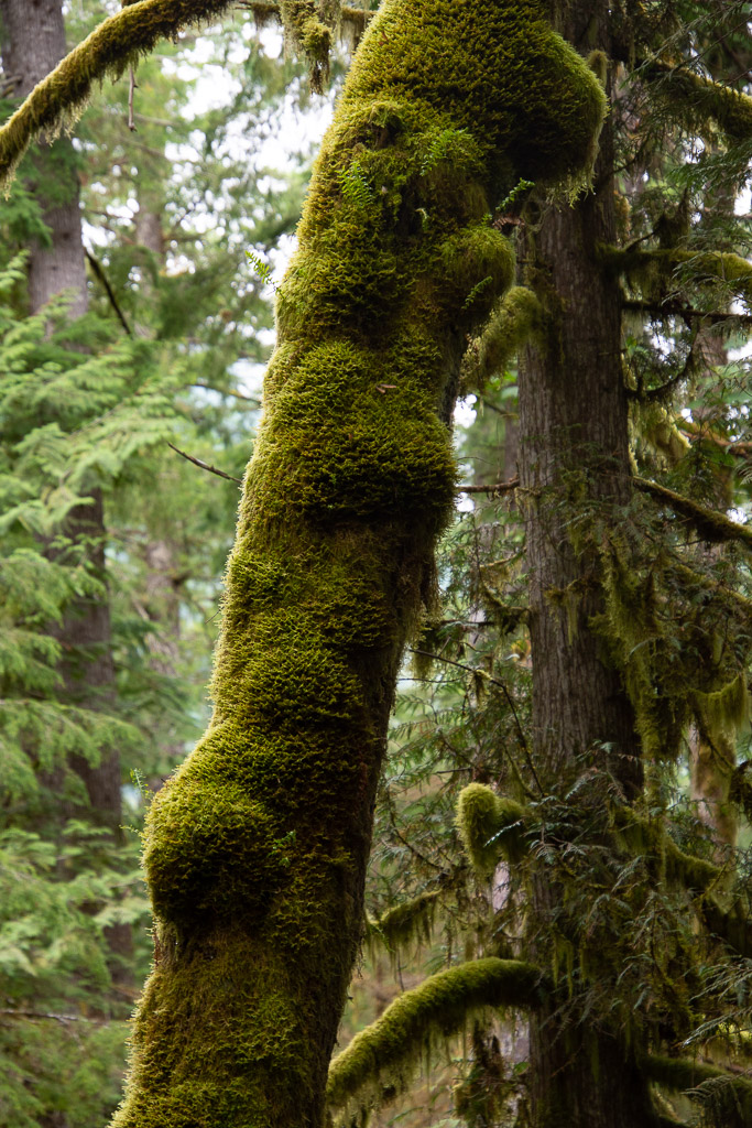
 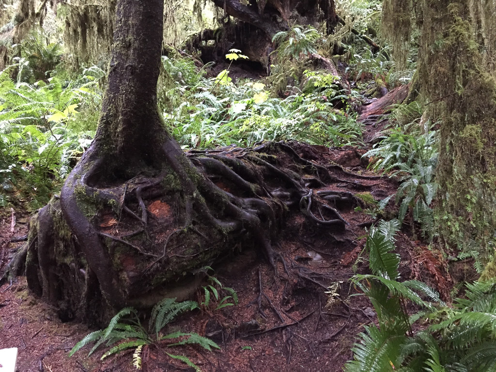 Everywhere you look there are trees rooted over fallen trees. Every surface seems covered with something growing.
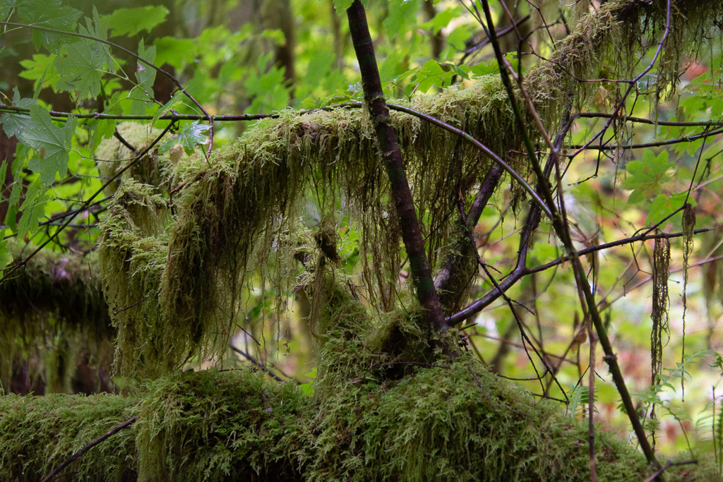
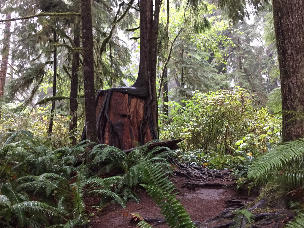 The park protects the largest old-growth forest in the Pacific Northwest. Rainfall varies from 12 feet (!) in the temperate rain forests on the west side to 40" on the east side.
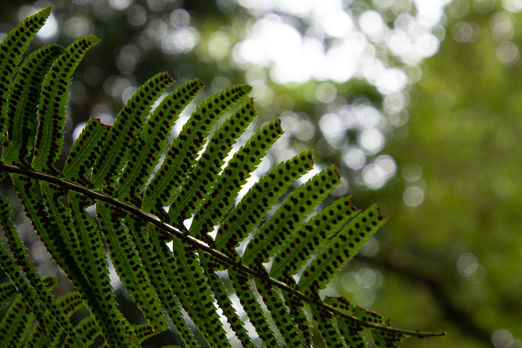
 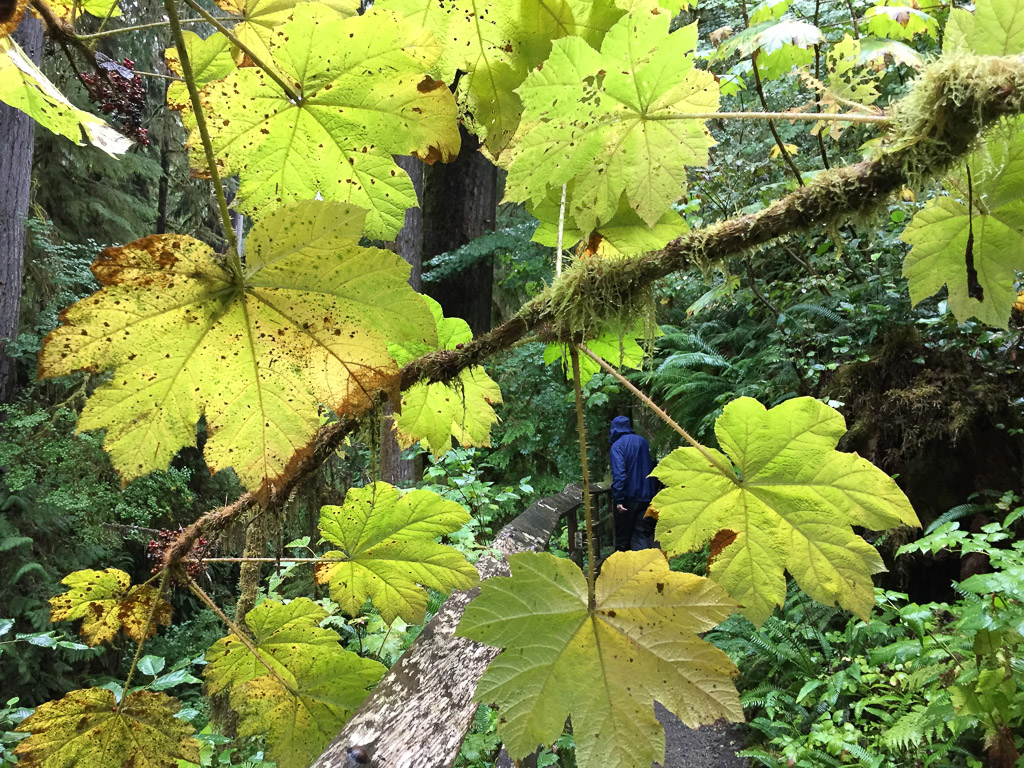 More of the Devils Club with a good view of he spines on the leaves.
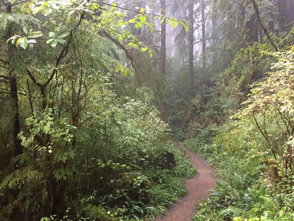 Did I mention that this was a walk through the rain forest? And rain it did. We stood for awhile under the umbrella because is was raining so hard. On our way back this path was filled with water.
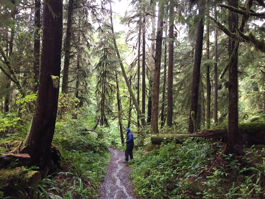 The forest was just beautiful.
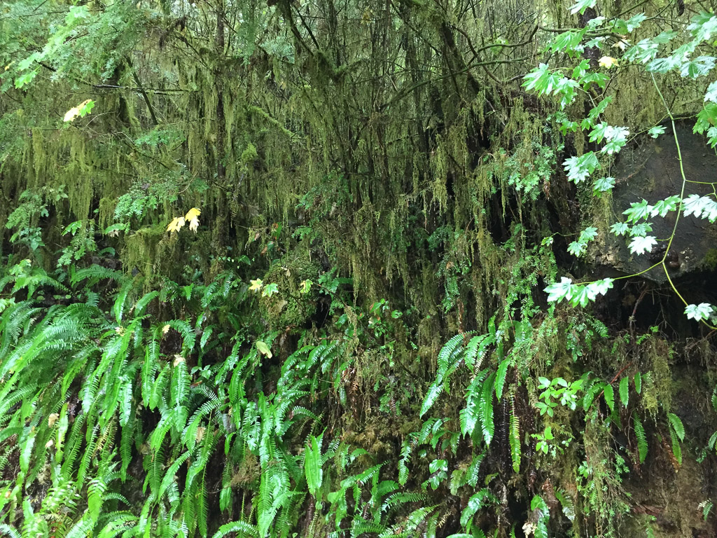
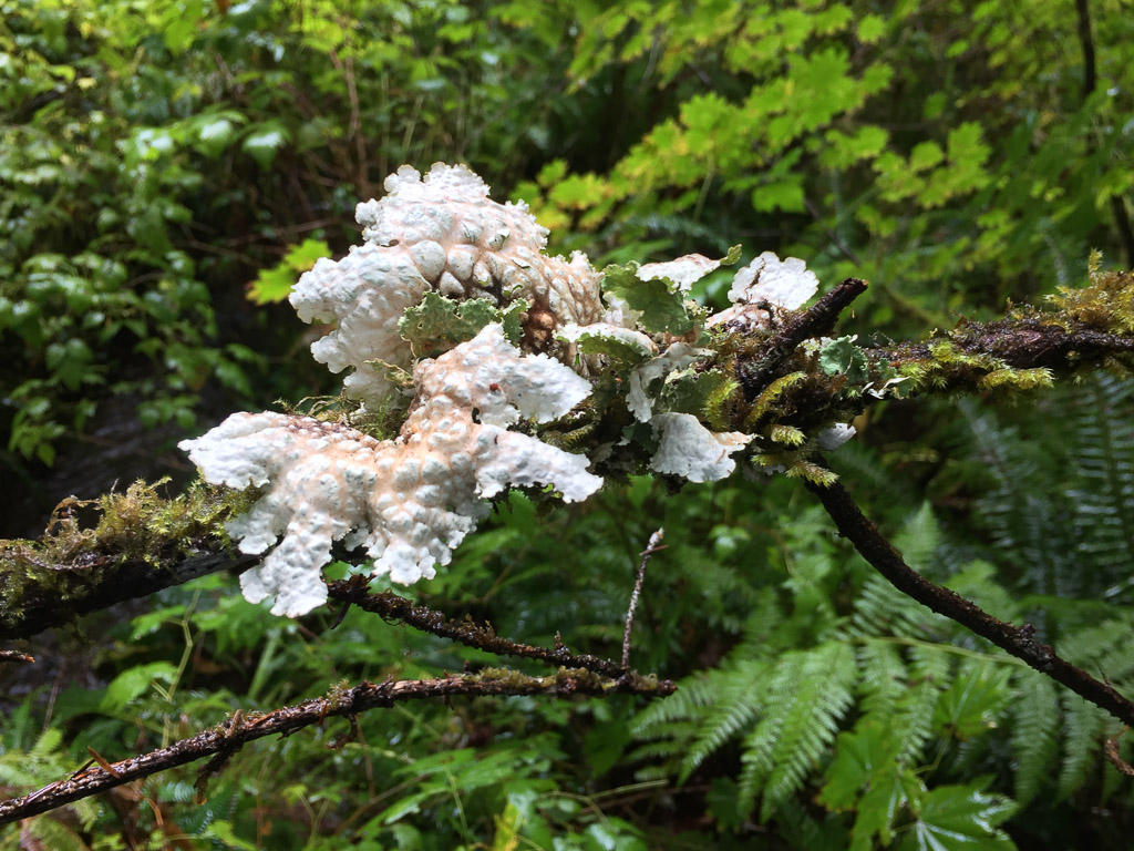
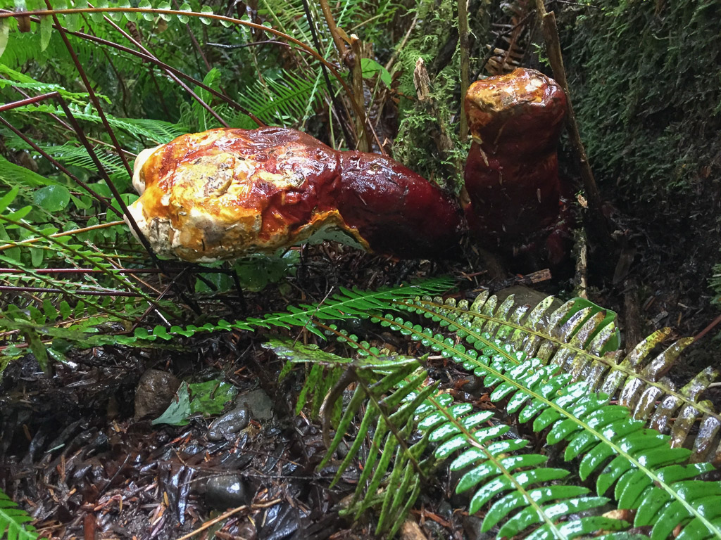
 Lots of fungus in addition to the ferns, shrubs, and trees.
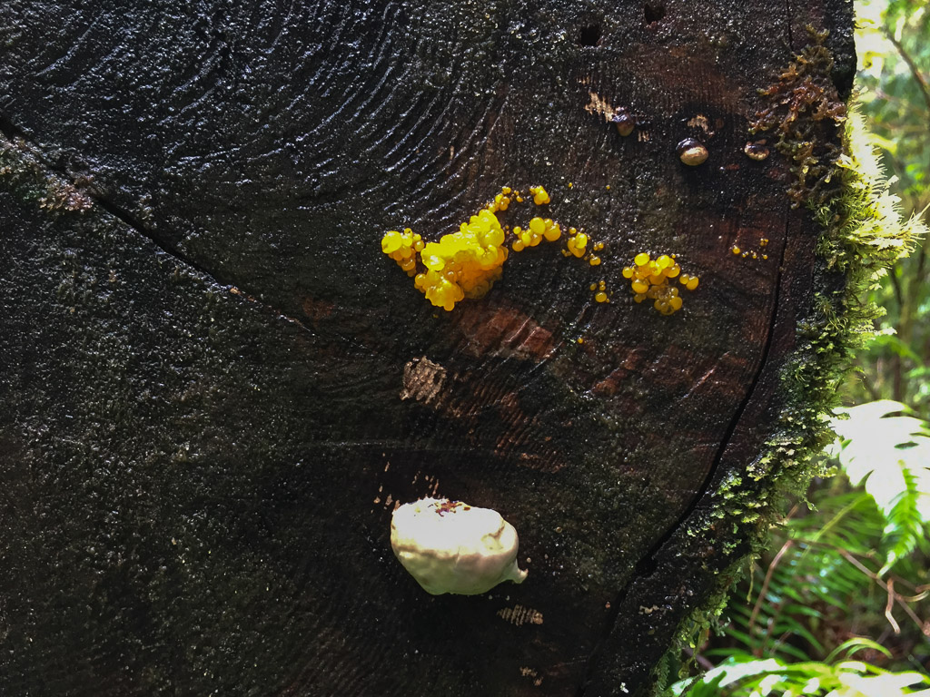
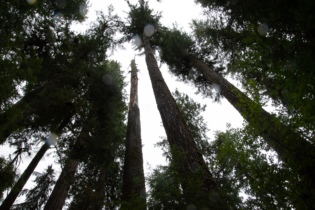
 Some of these photos were taken on the trails to Falls Creek and Gatton Creek waterfalls on creeks that flow into the lake. The next stop was at the World's Largest Spruce Tree.
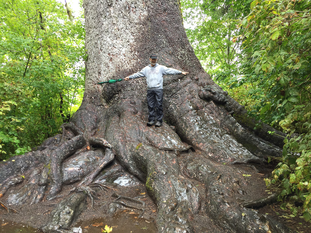 This Stika spruce is 58', 11" in circumference and 1000 years old.
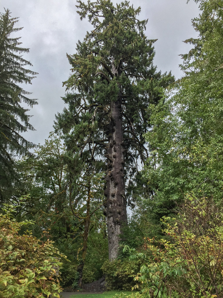 It is 191' tall and is one of six record breaking trees in the Park.
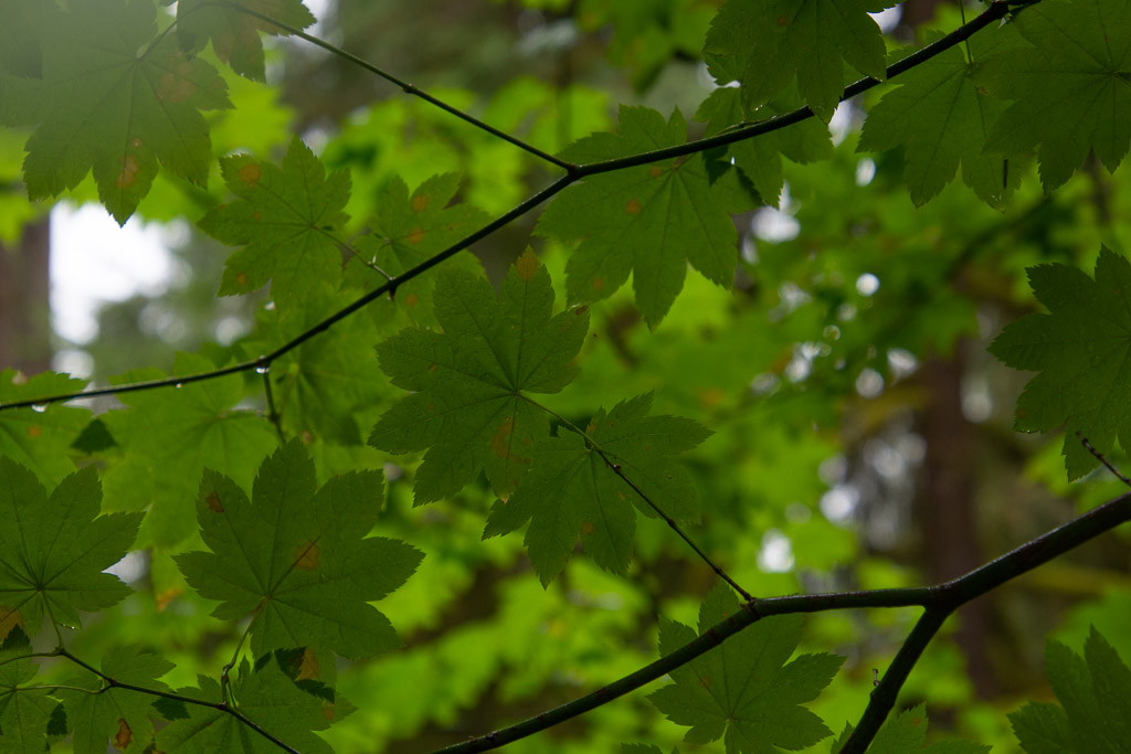
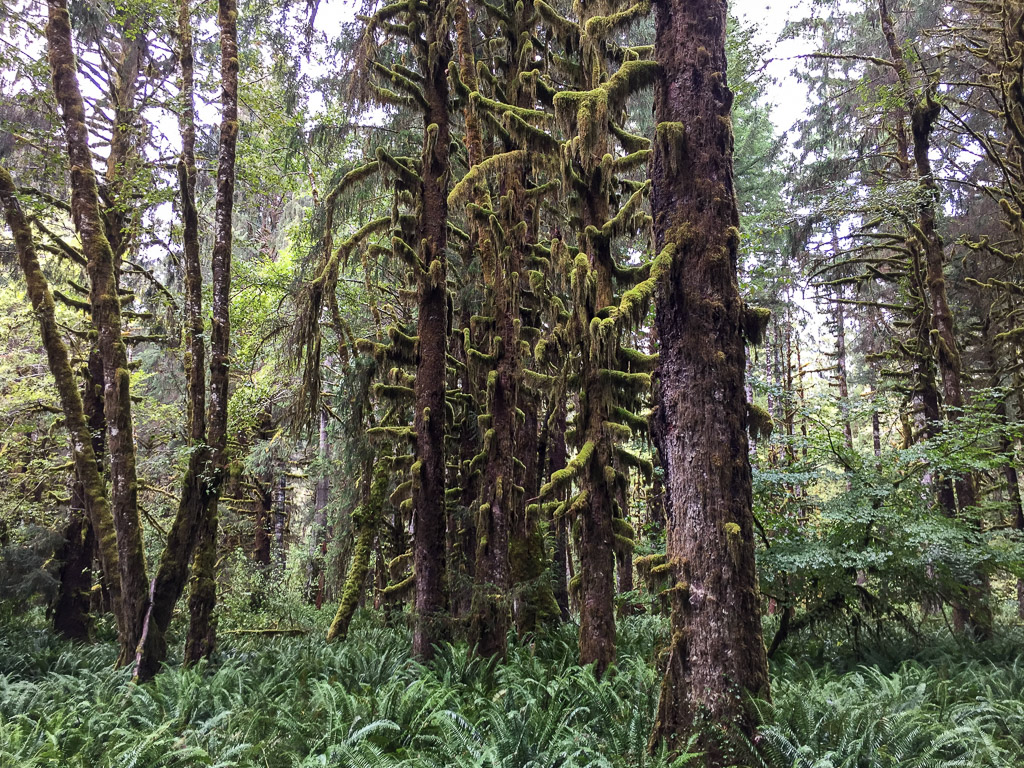 Sulightn was coming through the clouds as we drove down the road on the north side of the Quinault River.
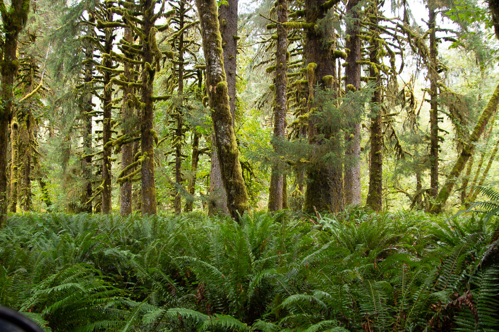 It gave a special glow to the moss covered trees in the flatland along the river.
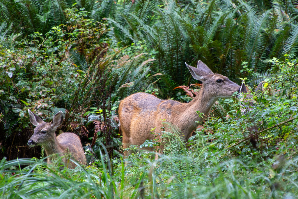 A wildlife shot of something other than a banana slug! Can you see the second fawn? I didn't even see it until I was looking through my photos.
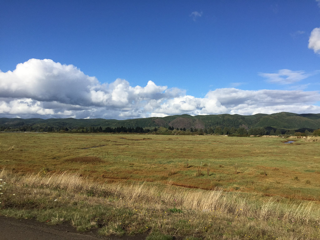 We left the rain forest and the Park and headed for the southwest corner of Washington and Cape Disappointment State Park where we hoped to spend the night.
 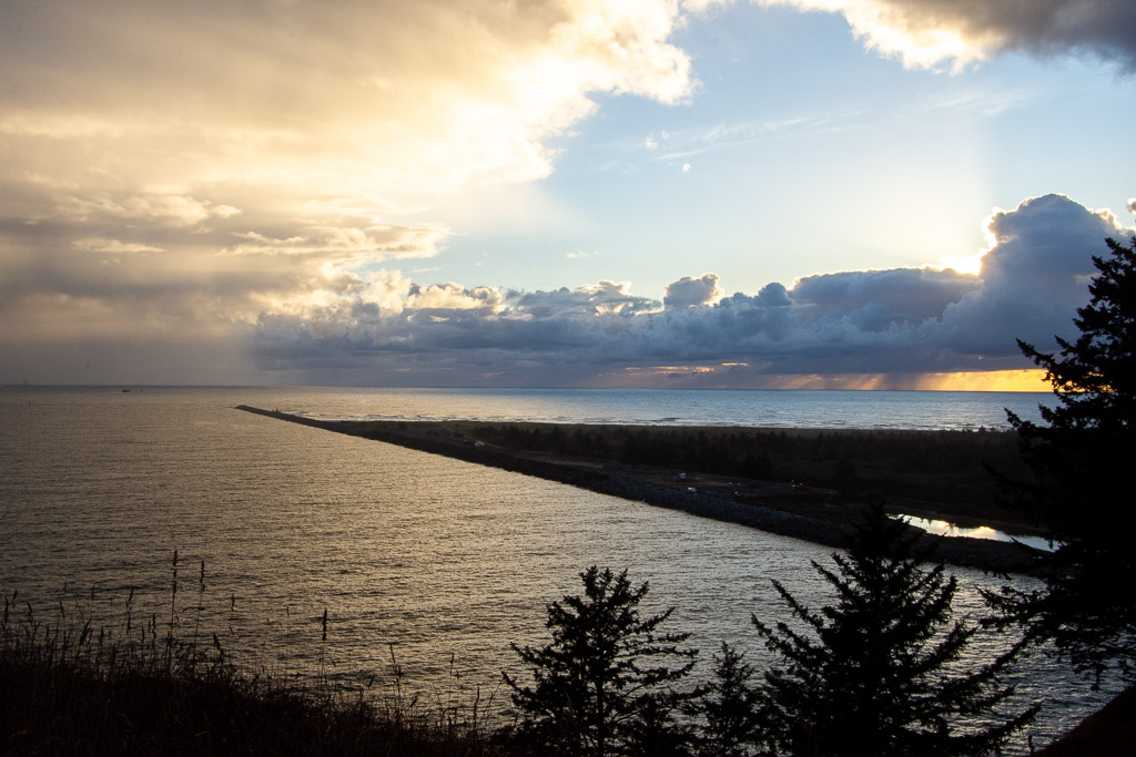 There were campsites available so we reserved one and then walked took one of the Park trails that follows the coastline to one of two lighthouses in the Park. This is the breakwater constructed on the north of where the Columbia River flows into the Pacific.
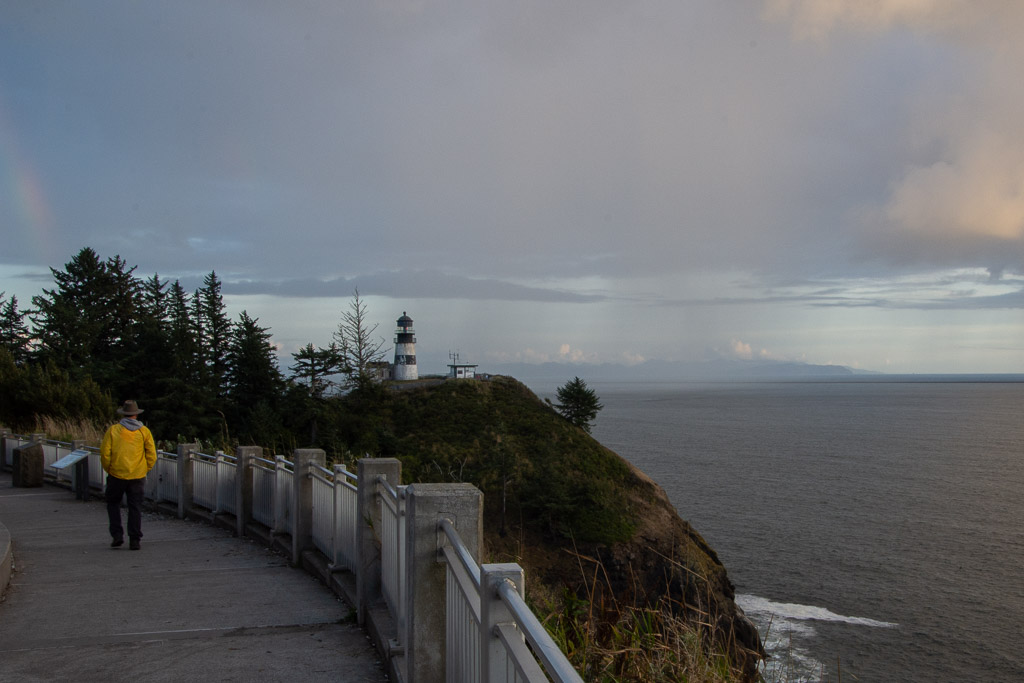 Looking south from the Lewis & Clark Interpretive Center you can see the Cape Disappointment Lighthouse and the Oregon coast in the distance, across the mouth of the Columbia River.
  The Cape Disappointment Lighthouse was built in the 1850's. There is a Coast Guard Station nearby. According to Wikipedia: "The lighthouse had several shortcomings. The fog bell was sometimes inaudible due to the roar of ocean waves. It was discontinued in 1881 and moved ... Also, the light was not visible to ships approaching from the north. This problem was corrected by building a lighthouse at North Head, two miles from Cape Disappointment. The first-order lens was moved to North Head ... The lighthouse was electrified in 1937. In 1956, the Coast Guard intended to close the station, but retained the light when the Columbia River bar pilots protested. The light was automated in 1973. An observation deck has been built for the Coast Guard to monitor traffic and bar conditions."
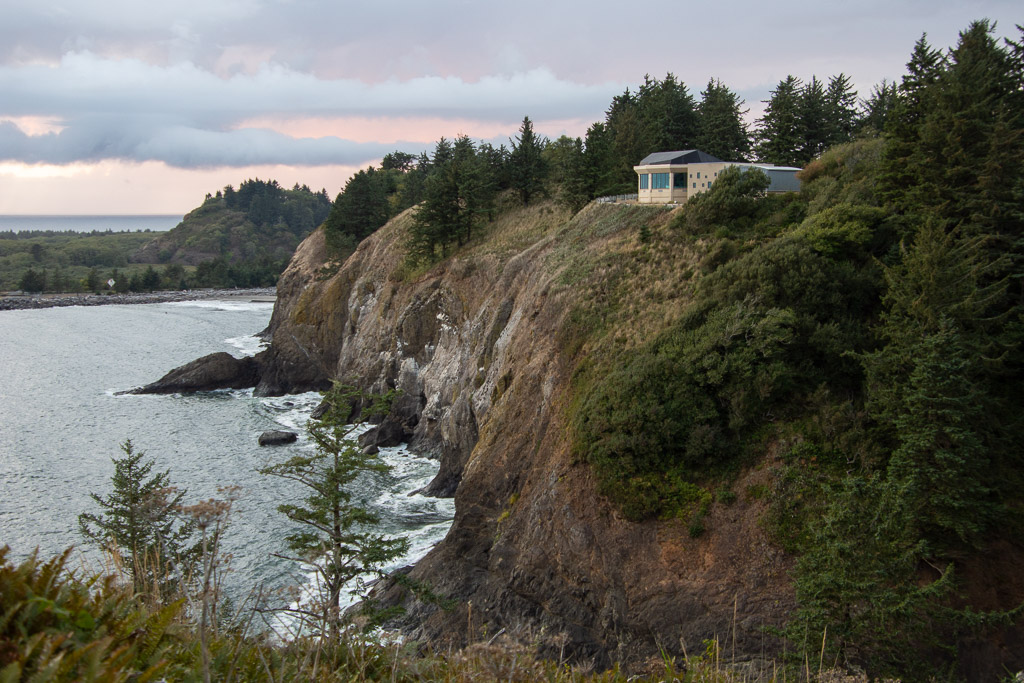 This is the view looking back north to the Interpretive Center (which we visited the next day). Also visible is the small cove called Waikiki Beach. The campsites were beyond that. We got back to camp about dark, our usual M.O., and ate an unexciting dinner, and went to bed.
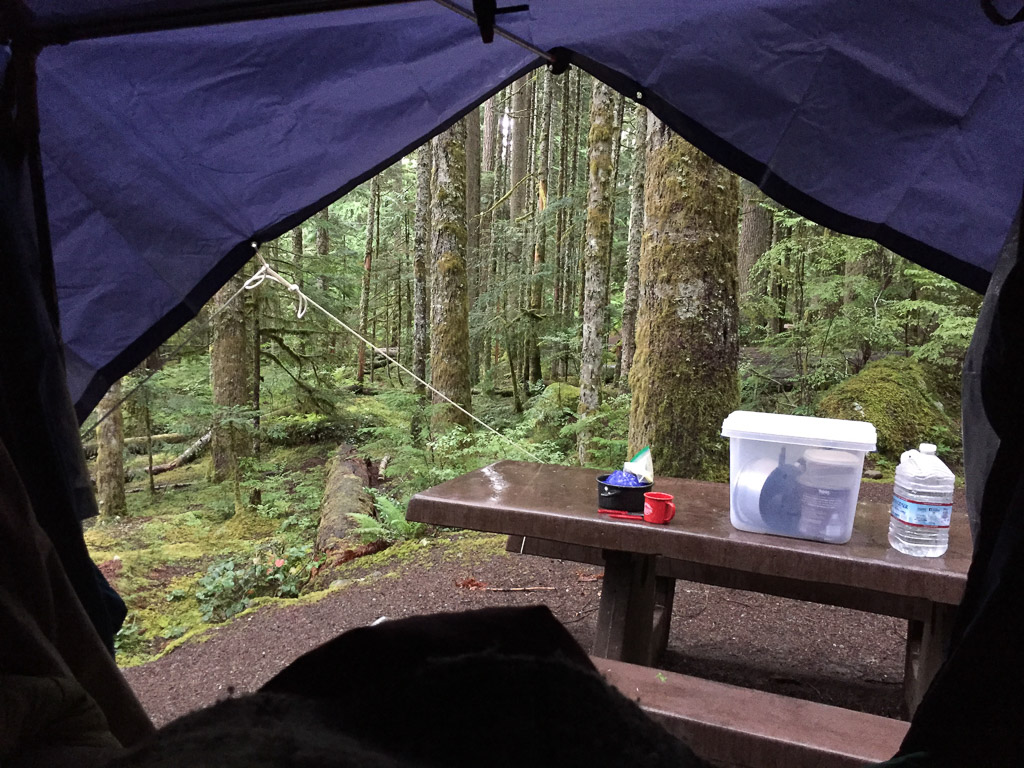 Here is the view from my sleeping bag the next morning.
 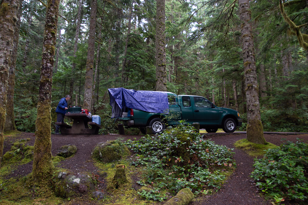 Later we wondered why we didn't buy a bigger tarp since then we could have covered the whole camper, although I wouldn't have liked not seeing out the side window. As it is there is some leakage around where the camper joins the truck bed and we had to make sure that our sleeping bags, clothes, etc didn't touch the edges or they'd soak up water.
 The name was a clue to the weather on the ridge.
 It was a wee bit
  There is a trail from the Visitor Center to the top of the nearby ridge.
 View looking down on the Visitor Center and Mt. Olympus in the clouds.
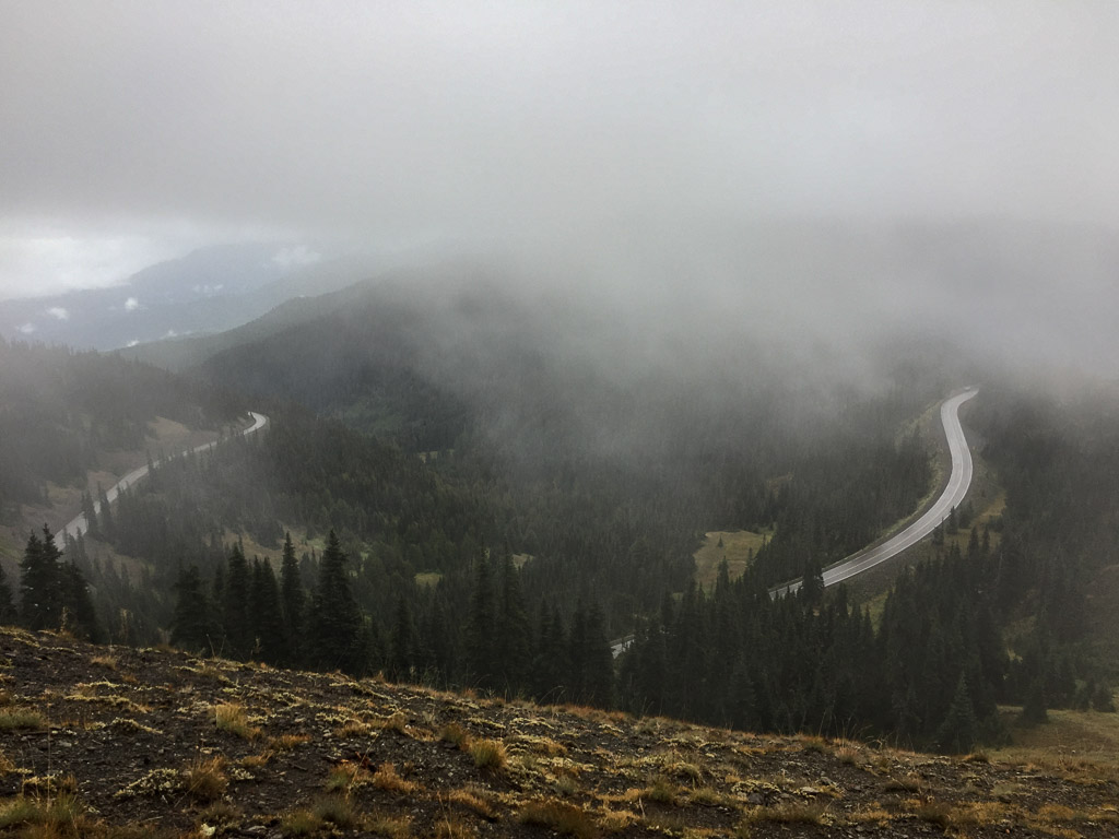 View to the other direction and the road to the Visitor Center.
 Walking along the ridge we tried to get a view of Canada. It's out there across the Strait of Juan de Fuca, but mostly in the clouds.
 More views along the trail.
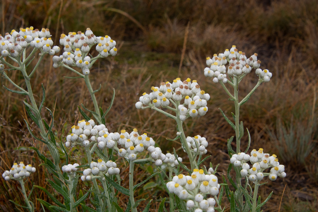 I admired these flowers blooming so late in the season. They are in the sunflower family: Pearly Everlasting.
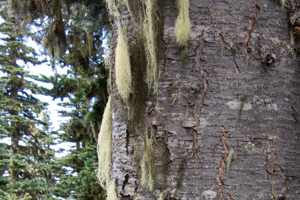 Goat's Beard lichen.
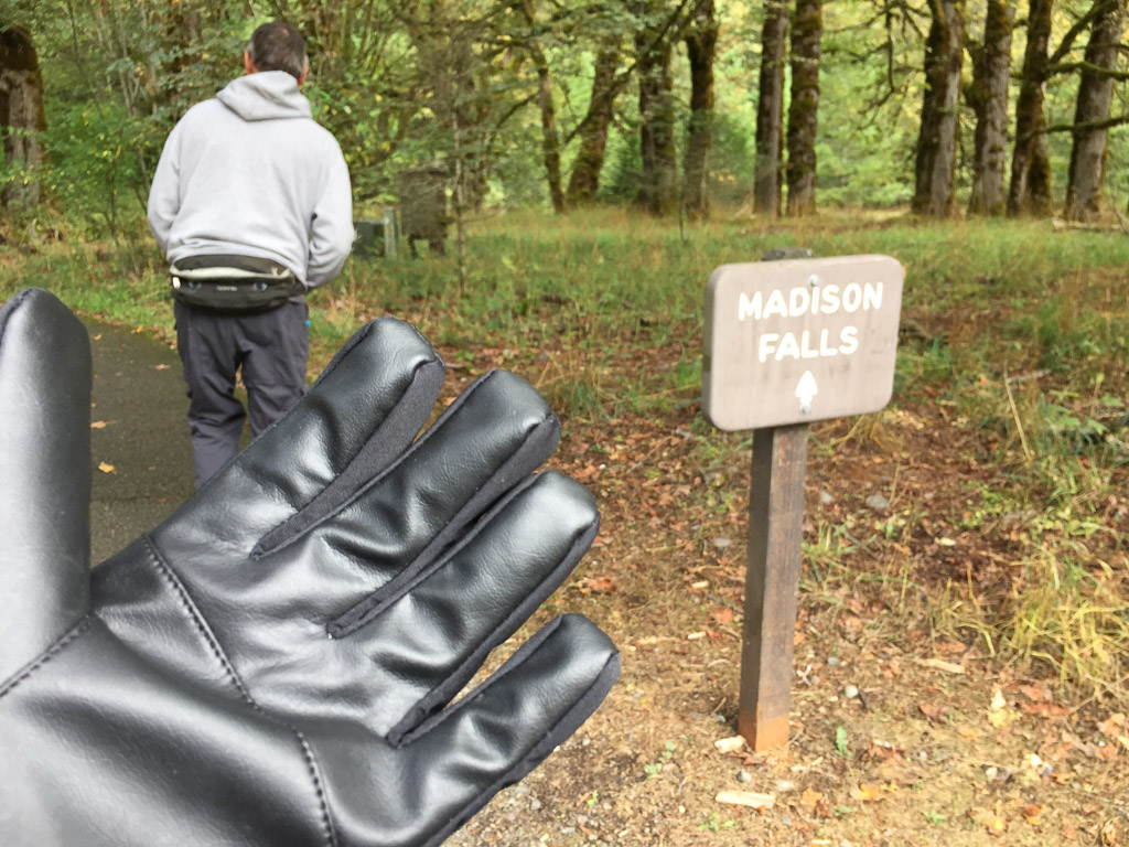 We both bought gloves. Next stop was Madison Falls at the edge of the Park near another road that follows the Elwha River.
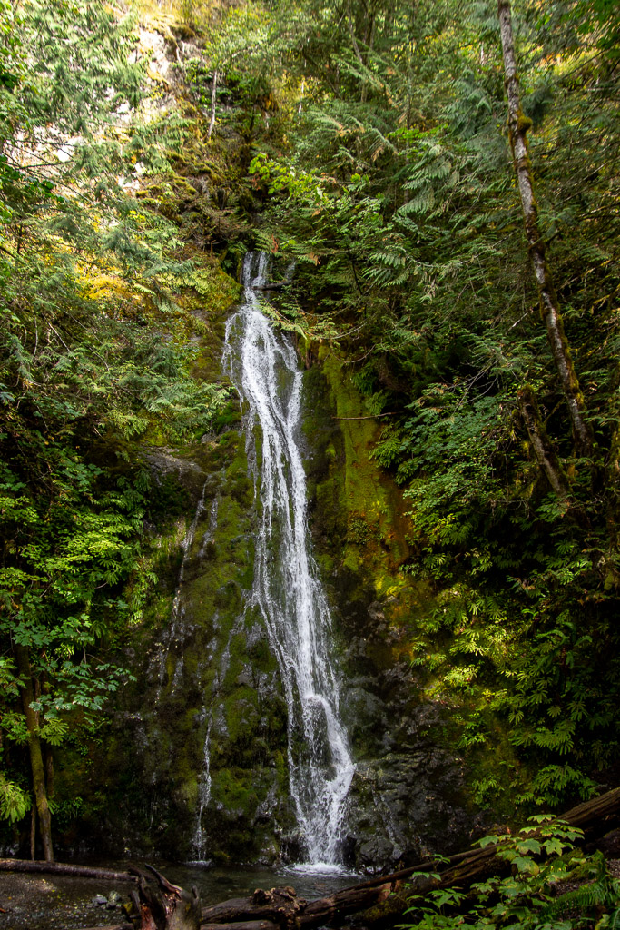 It is a short walk on a paved trail to see the falls.
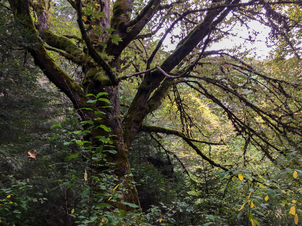
 At this point we were thinking about where we would stay that night. As on all of our trips there is always more to see than we have time for. This was Saturday and we needed to get home on Tuesday. That left Sunday and Monday for more time in the park with a long drive on Tuesday. The bulk of the Park takes up the northern part of the Olympic Peninsula but there is also private and tribal land along the northern coast, the far northwest corner of the state, and the western portion. I wanted to go to that farthest most point of the continental U.S. but we were going to run out of time to do that and spend time in the rainforest. There is a narrow sliver of land all along the Pacific coastline that is also part of the Olympic NP so we decided that we would camp there for the night. That decided, we stopped at the next waterfall on our Waterfall Map.
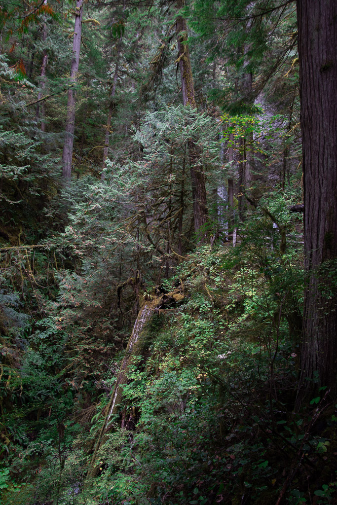 The trail to Marymere Falls was also within the Park.
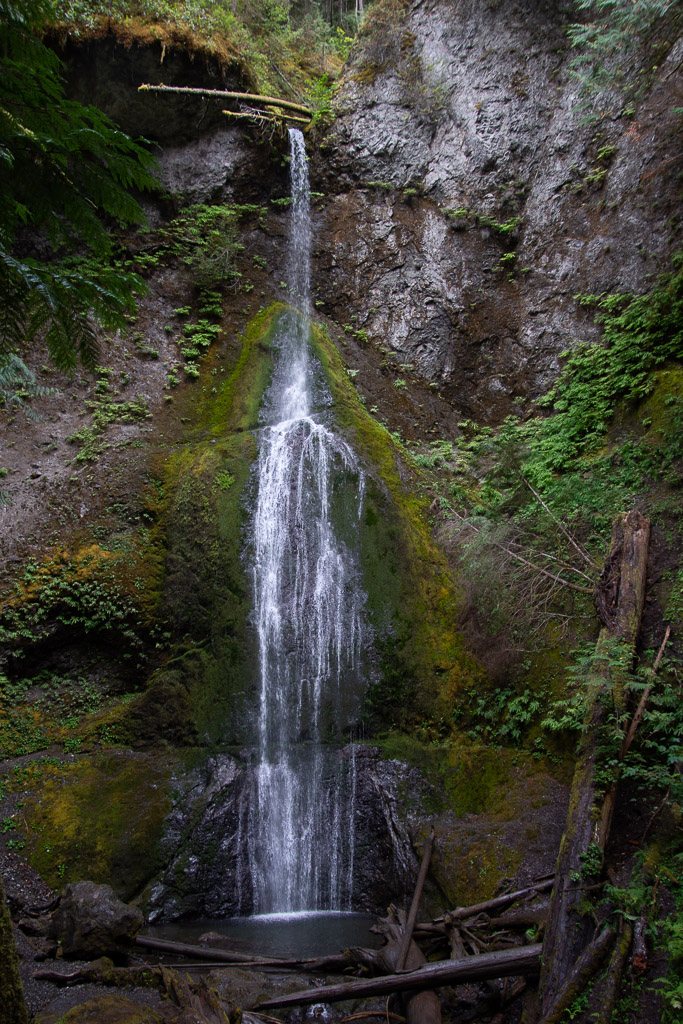 This waterfall is on Falls Creek and drops 90 feet. Take a look at the log at the top of the falls.
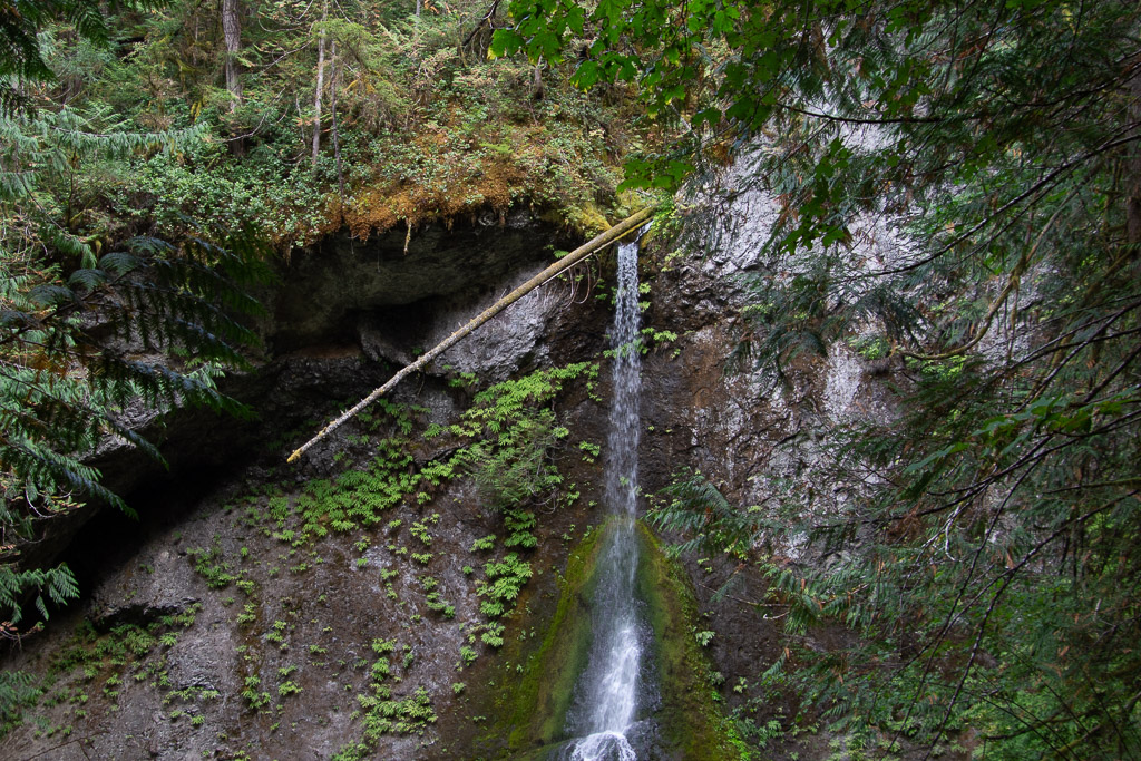 It made me think about the amount of water that must flow in this creek at times. That is a whole tree that is stuck at the top.
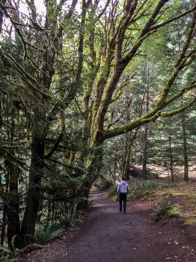 Magnificent trees.
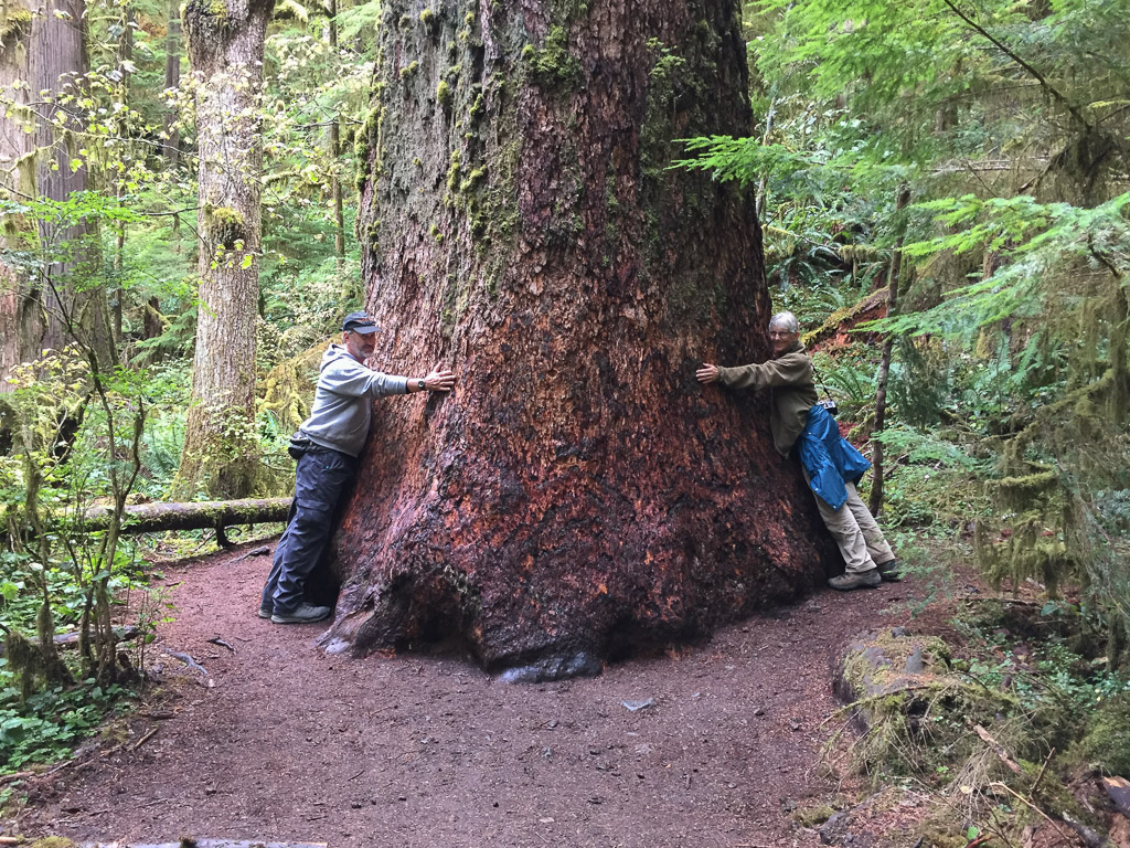 We were walking by this tree and I saw a young woman trying to prop her phone on the ground so that she and her friend could both be in a photo of this huge tree. I offered to take the photo and then she reciprocated.
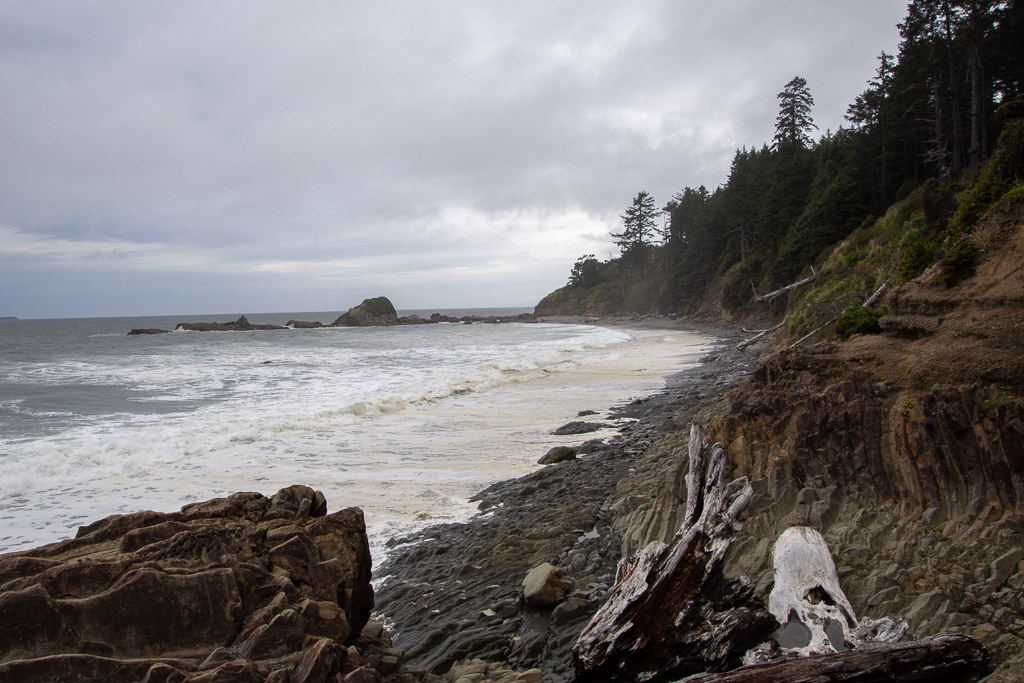 This was the first beach where we stopped. We drove south to find that the first campground was full. There was plenty of space in the other campgrounds where we stayed so we hadn't anticipated this. The beach. RV camping. Saturday night. None of the four beach campgrounds had campsites left.
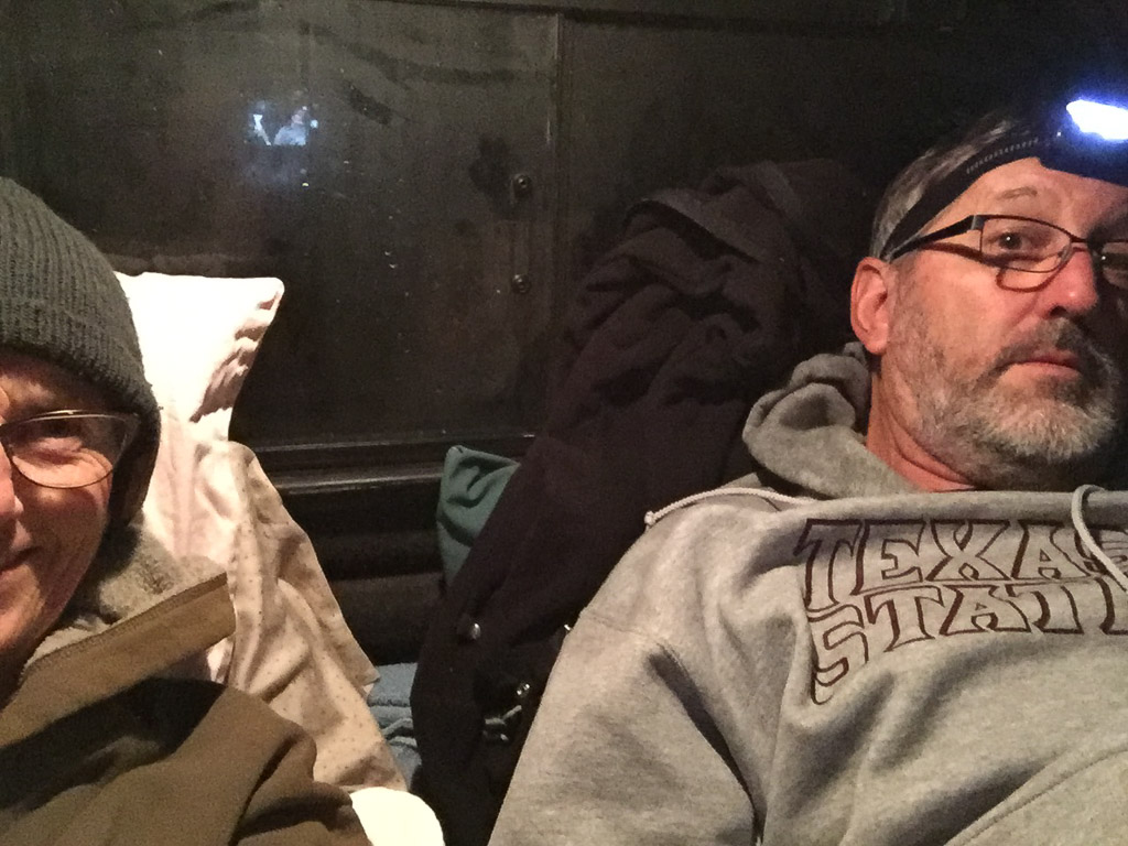 Saturday night lodging.
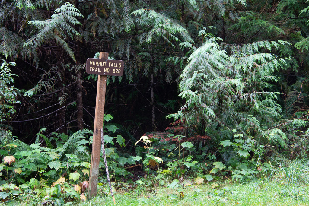 Our first waterfall on the trail, and before getting to the park, was Murhut Falls on the Duckabush River.
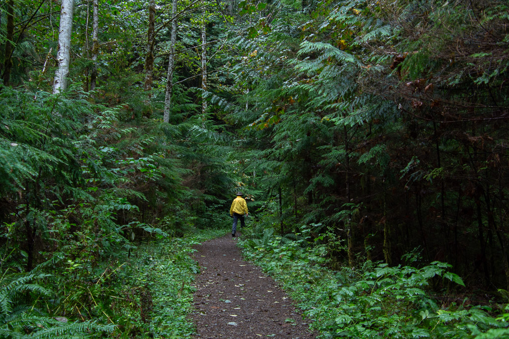 I first wondered about the name of the river. You have to duck under bushes if you don't have a ready made trail? No, in a side trip to Google I found that it is an Indian word meaning red face, referring to reddish bluffs in the area.
 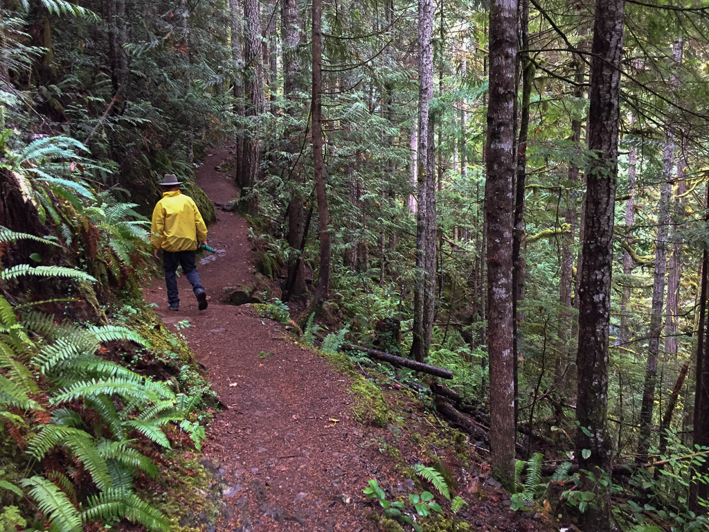 As we found in all our wanderings in this area, the forest is dense, damp, and spectacular.
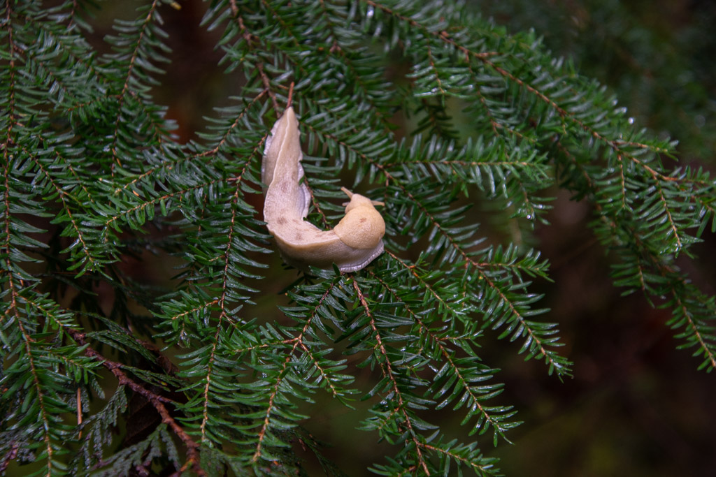 A wildlife shot along the way. So far the only wildlife I was photographing was slow moving.
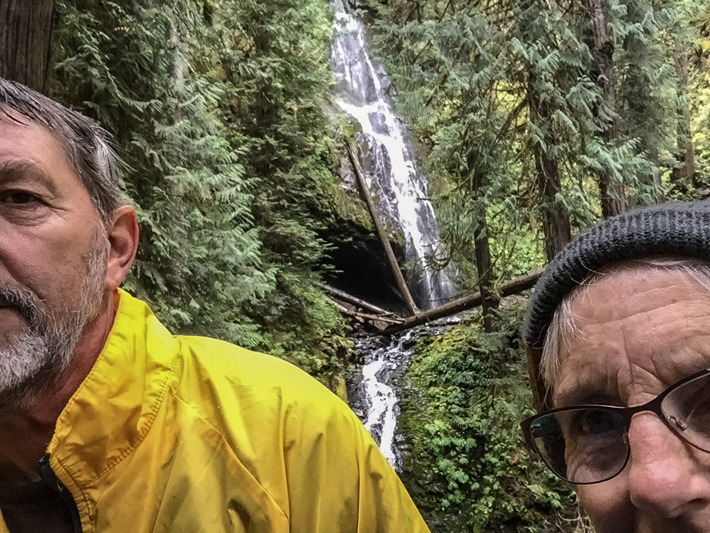 About 3/4 mile up the trail we found the falls.
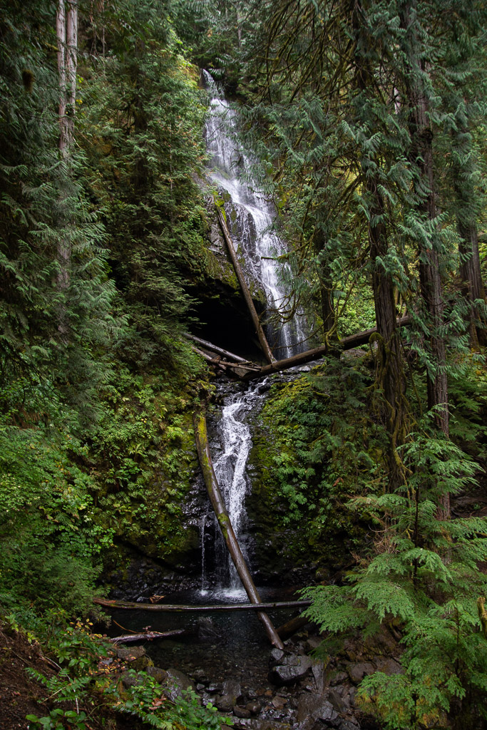 The waterfall trail guide says that this one is 120 feet with another 35 feet below this point. Photos don't do any of the forest scenery justice.
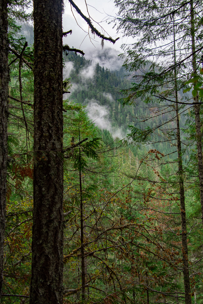 Weather continued to be damp and misty but not much real rain.
 You can certainly tell that this is a wet climate as opposed to most of the places we find ourselves hiking and camping.
 The forest was stunning. The trees were massive.
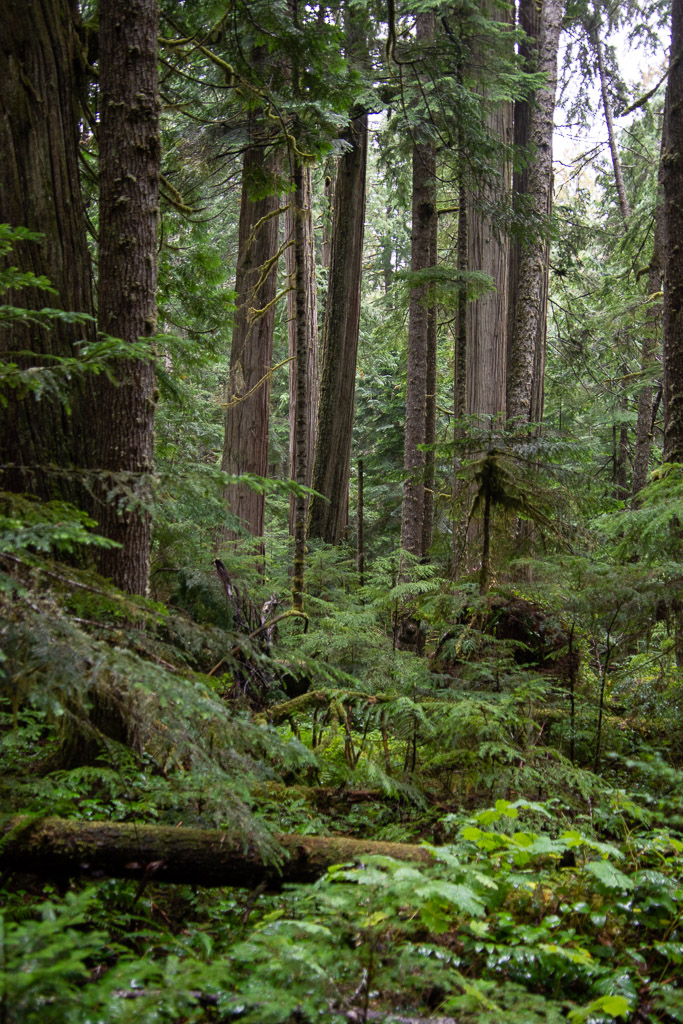 Vegetation is dense.
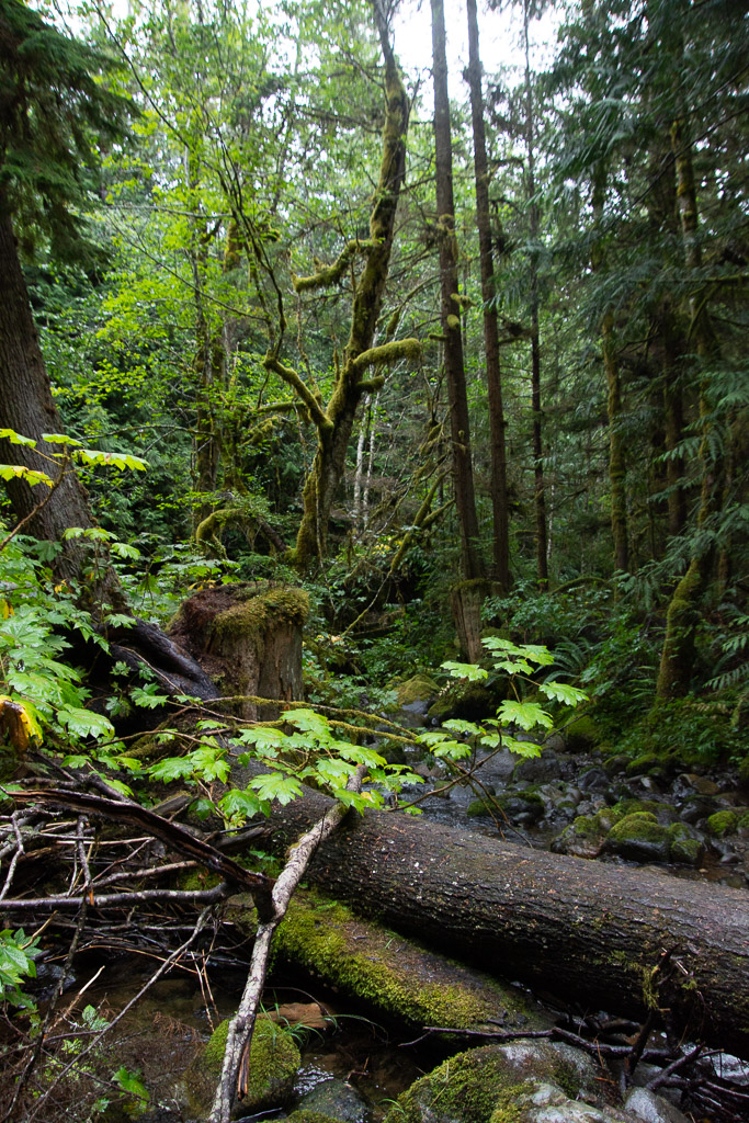
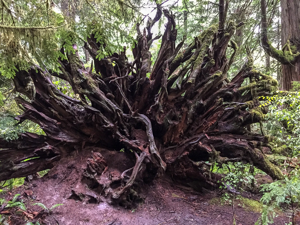 There were lots of trees down throughout this part of the forest, but it doesn't take long before ferns and herbaceous plants are growing on the downed trees and the forest covers them over.

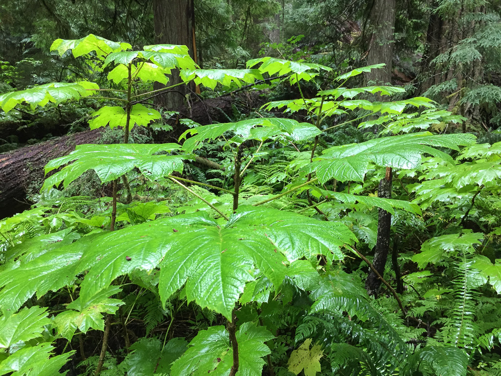 This plant with huge (up to 15") leaves was everywhere in the understory (see the three photos above). It is called Devils Club (Oplopanax horridus) and is endemic to dense, moist, old-growth forests of the Pacific Northwest. It has a long list of uses by Native Americans from medicinals to face paint and is covered with irritating spines.
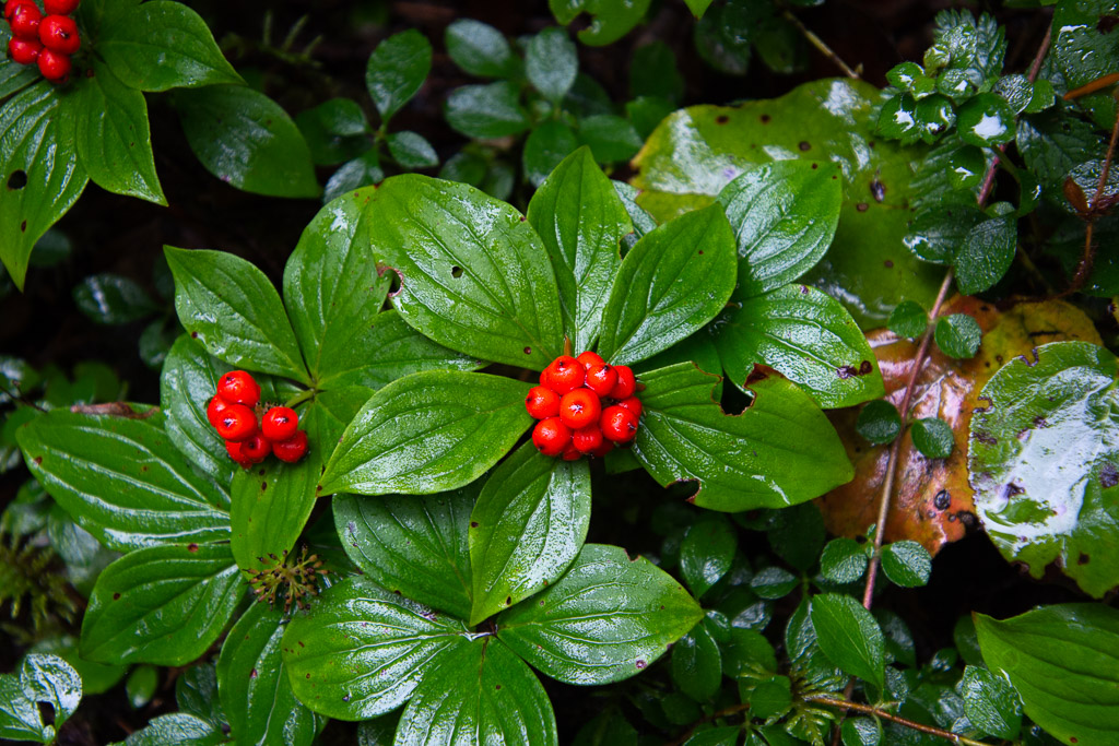 Dwarf Dogwood, Cornus candensis.
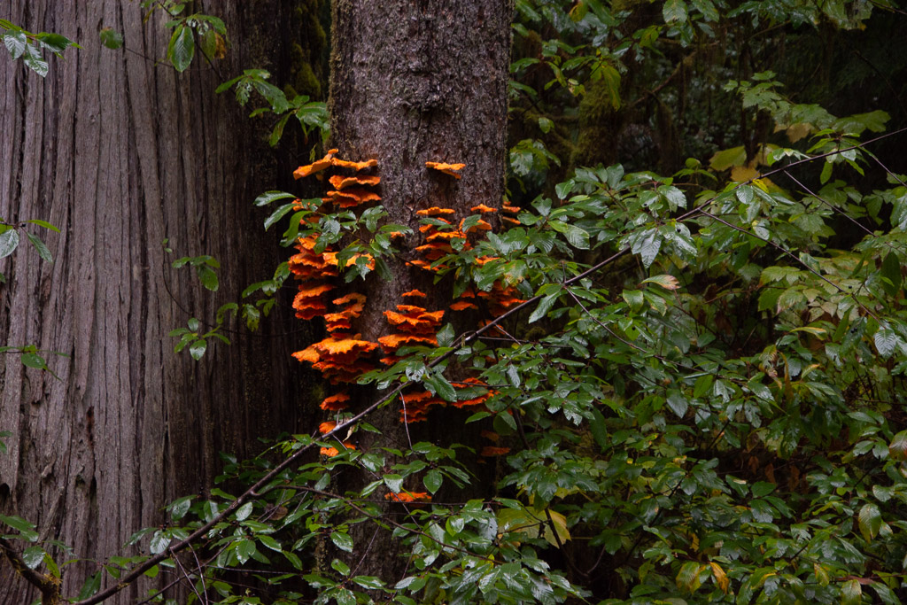
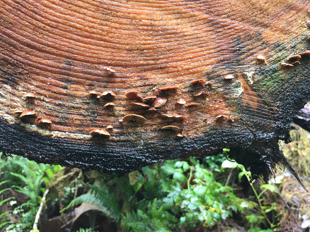
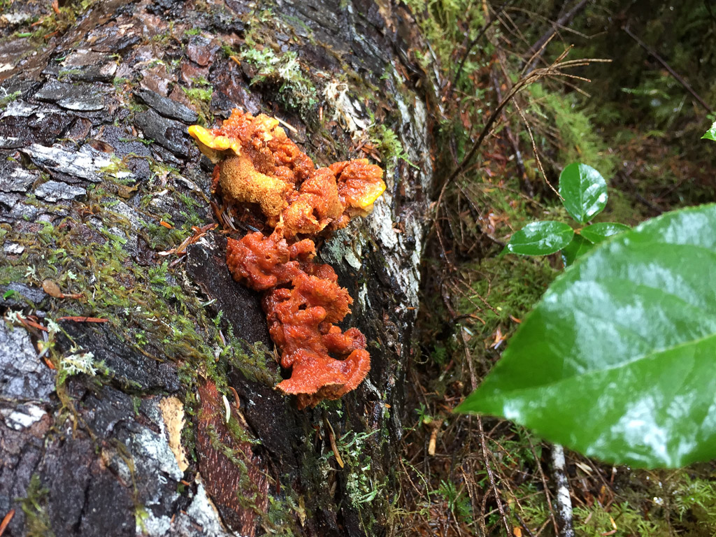
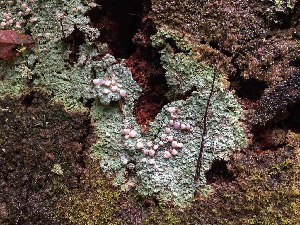
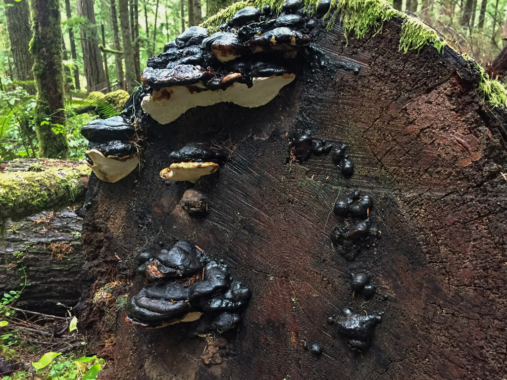 I didn't even try to identify fungi, but took photos because I like to share these with a friend who dyes with mushrooms.


 We walked until we reached the creek and were undecided how far the trail continued. But it was getting to be dusk and we decided that we'd better turn back.
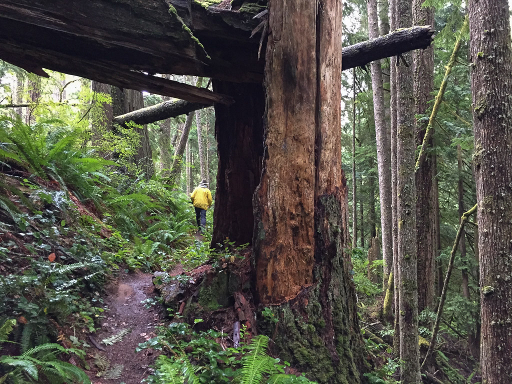 This forest would be pretty dark when the sun was down.
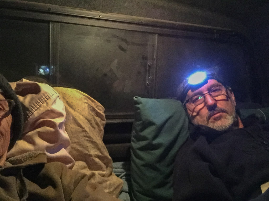 Fortunately it was warm enough with sleeping bag on top of my thick sheepskin. (Maybe it wasn't that warm, seeing that I'm wearing my wool beanie and a sweatshirt.)
 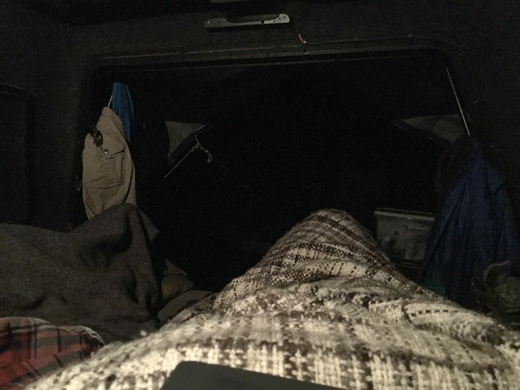 Oh, I have a wool blanket with me too (handspun Jacob by the way). This is the view out from my sleeping bag.
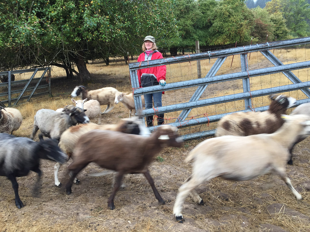 Karen lets the ewes out into the pasture where some of them race to see who will be first to find the pears that may have dropped since the day before.
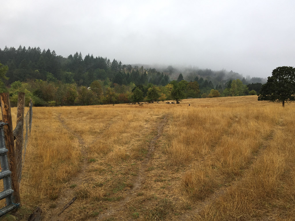 Some sheep stayed behind but this group checked out the pear snack department and then traipsed back to the barn for the morning hay.
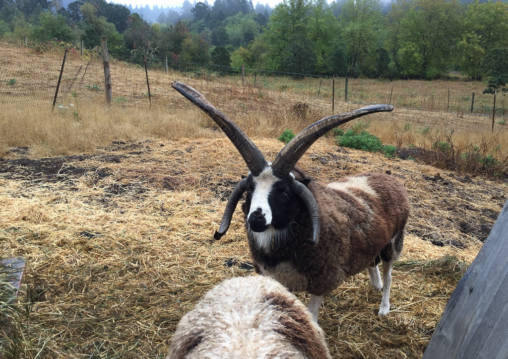 Nearby we met Windy Acres Lightning, who happens to be Buster's sire.
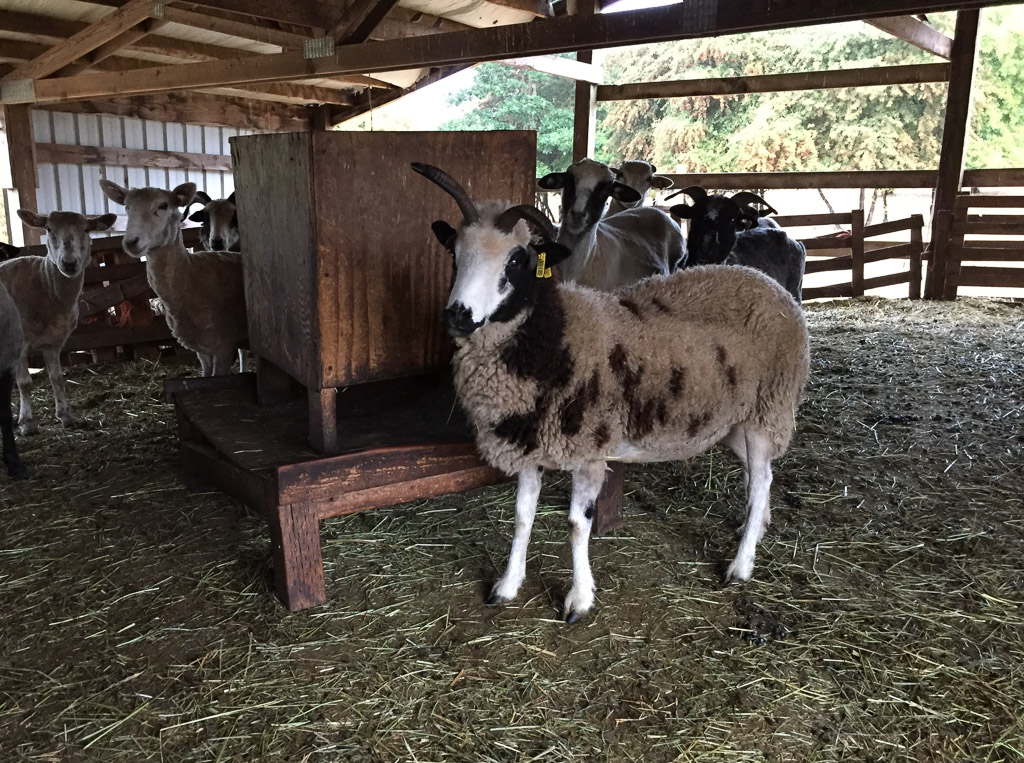 This is inside the barn. There are a couple of Meridian ewes here but I don't think this is one because she has a bideawee ear tag. I like these feeders and think that we should try making some.
 This is another barn on the property. Those are some of the ewe lambs and their guard llama.
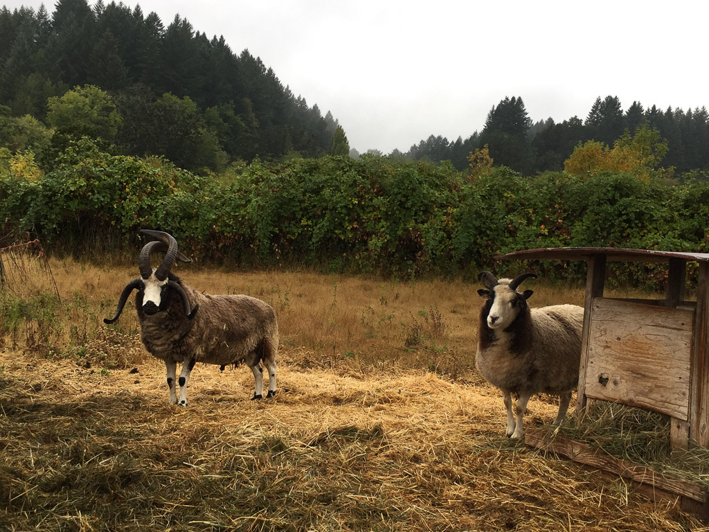 Across the road (the property is split into 4 pieces by the country roads) there are more rams. This is Hunters Glen Roy Rogers and his wether buddy. I sure which that I could get some of these horns like Lightning and Roy Rogers on my sheep.
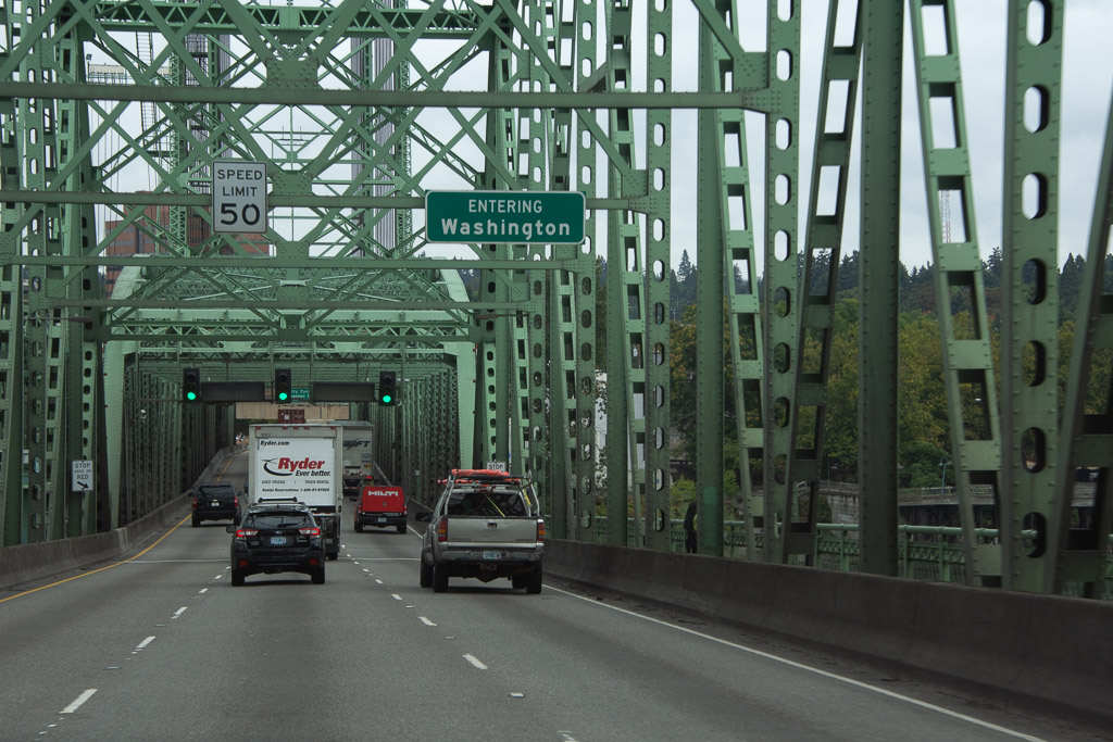 After breakfast we got on the road to our real destination.
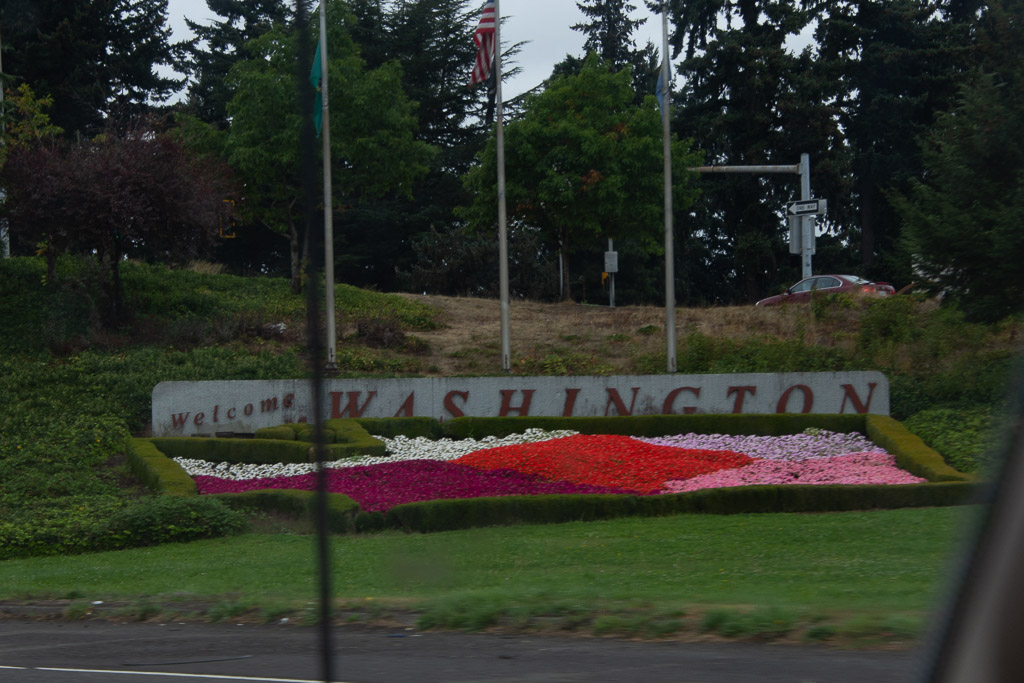 Here is a more welcoming sign along with pretty flowers.
 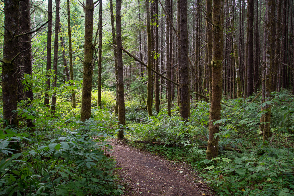 We were headed to Mt. St. Helens National Volcanic Monument for our first stop. We followed State Route 504 along the Toutle River and stopped before entering the NVM at this site where the sign said Sediment Retention Structure. We followed a trail through the beautiful woods.
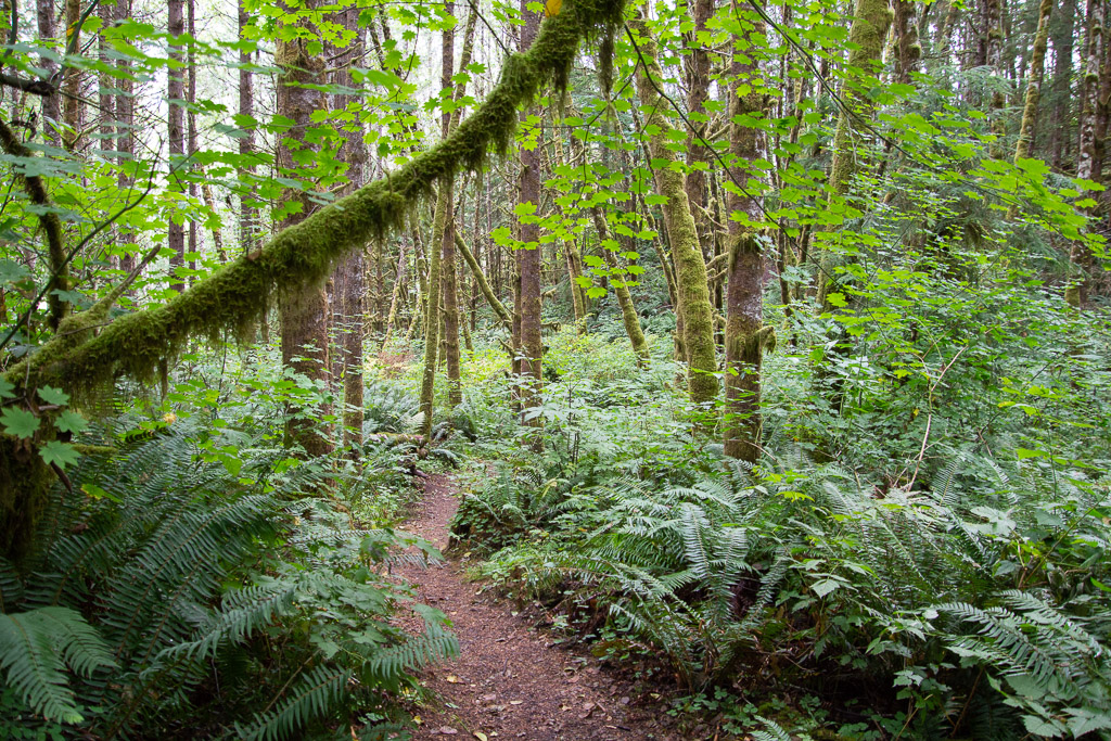
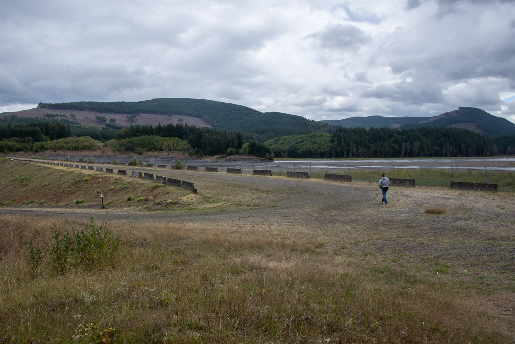 After a short walk we reached the dam. A sign told us: "As the North Fork Toutle River re-formed and carved new channels in the deposits [after the eruption in 1980], it became one of the world's most sediment-laden rivers. The U.S. Army Corp of Engineers build the Sediment Retention Structure to trap sediments before they are carried further downstream. Sediment clogs river channels, worsening floods, and degrades water quality and aquatic habitat." It is hard to tell the scale from my photos but this is a massive structure.
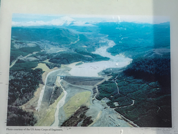 Here is an aerial view on the sign.
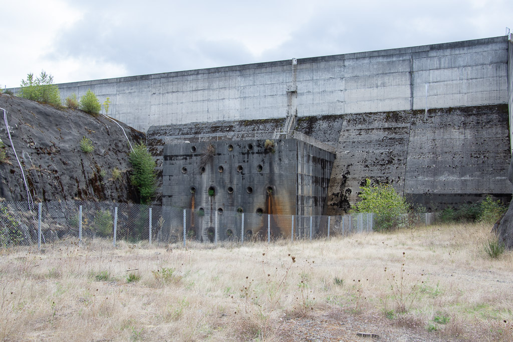 This part of the structure is on the aerial photo but is the "little" part at the left end of the horizontal part of the retention structure and to the right of the spillway.
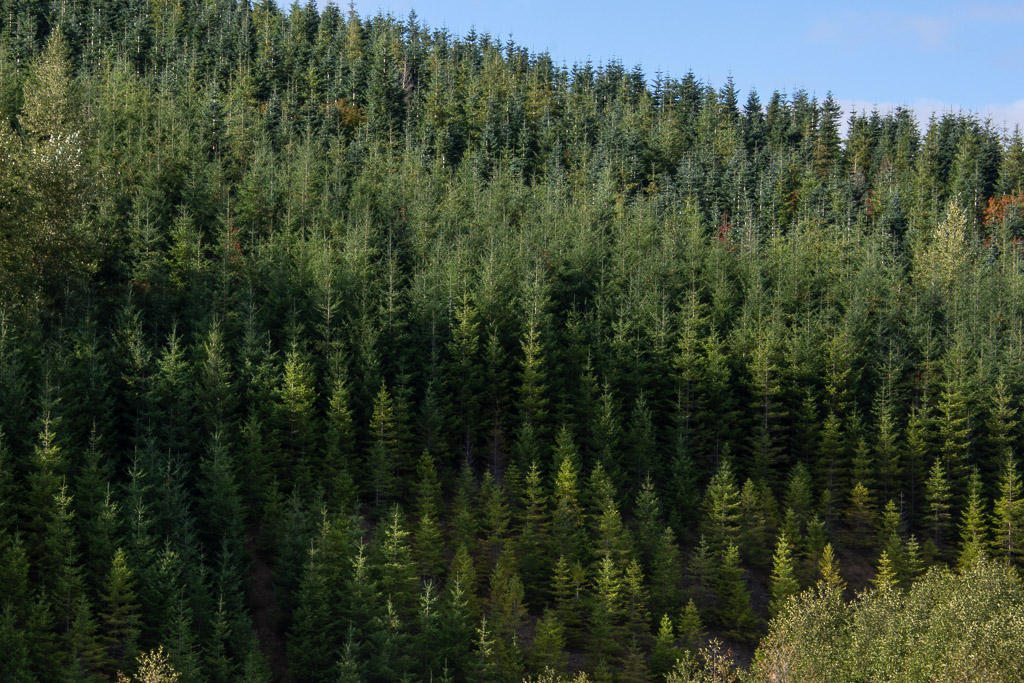 We continued on to the NVM. There are plenty of interpretive sites before you get there, some put out by the state and some by Weyerhaeuser. From their site: "Weyerhaeuser Company began more than 100 years ago with 900,000 acres of timberland, three employees and a small office in Tacoma, Washington. Founded in 1900 by Frederick Weyerhaeuser, we’ve grown to become one of the largest sustainable forest products companies in the world." I was interested in the divergent viewpoints about the response to the destruction caused by the 1980 eruption. Weyerhaeuser began to reforest as soon as they could, planting millions of seedlings. Their sign shows a contrast between their now almost 40-year-old forests and the vegetation across the boundary where the response was to let nature take its course. Both arguments are convincing and I am not bashing a giant lumber company. After all I live in a wood house. The film that we saw in the Mt. St. Helens NVM Visitor Center, however, describes how quickly the communities begin to recover, starting with gophers, of all things, that survived in their burrows under ash-covered areas and moved soil and seeds to the surface. The film points out that the communities are now at their most diverse and as the natural sequence of forestation continues there will eventually be less diversity as one sees in a mature forest.
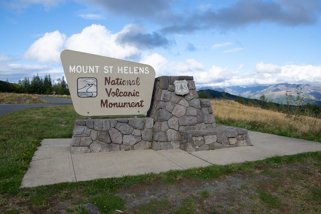 It isn't possible to see all of the NVM in one day. No road goes all the way through and it is a lot of driving to get to other entrances. We chose this northwest entrance and realize that we'll have to come back some day.
 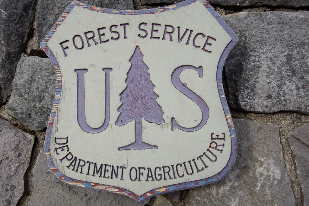 I liked this closeup of the USFS sign--see the detail in the tree? Someone had to think of that.
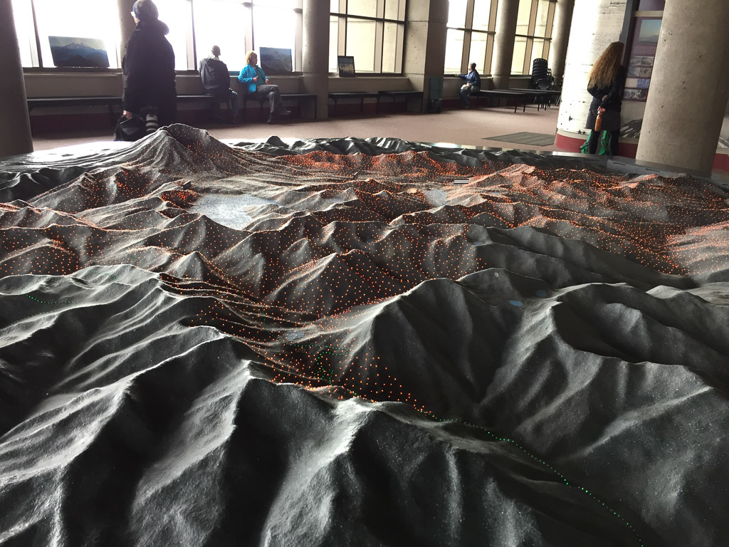 We started at the Visitors' Center called Johnston Ridge Observatory. Here is a model of the terrain and as the story is told different color lights come on to show lava flows, ash deposition, etc.
 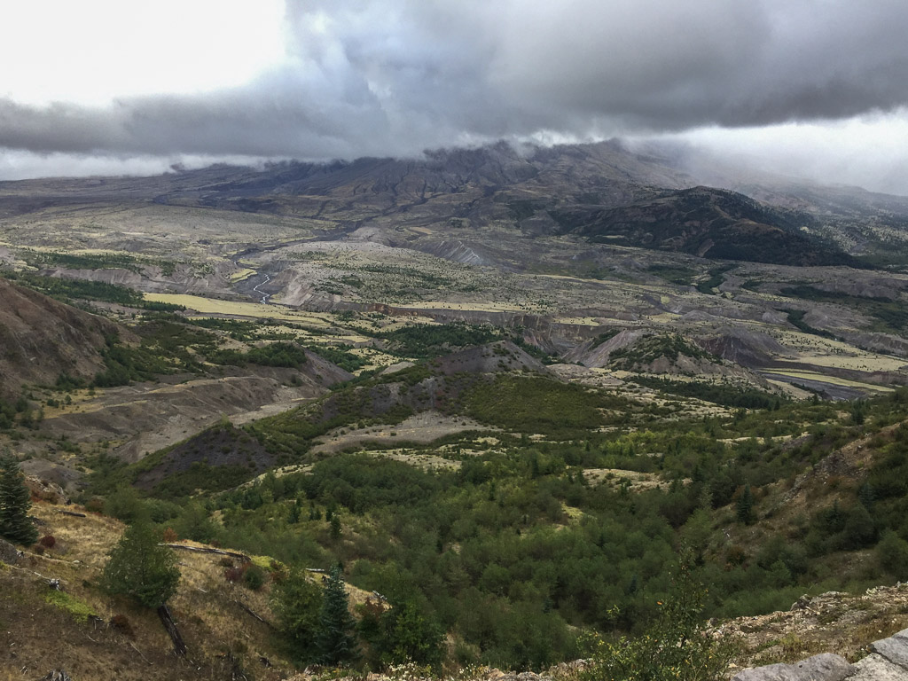 View of the mountain. We never got a clear look at it because of the clouds. It is amazing to think that the whole area in this photo was impacted by the blast and that everything in the middle part of the photo is deposits from the volcano.
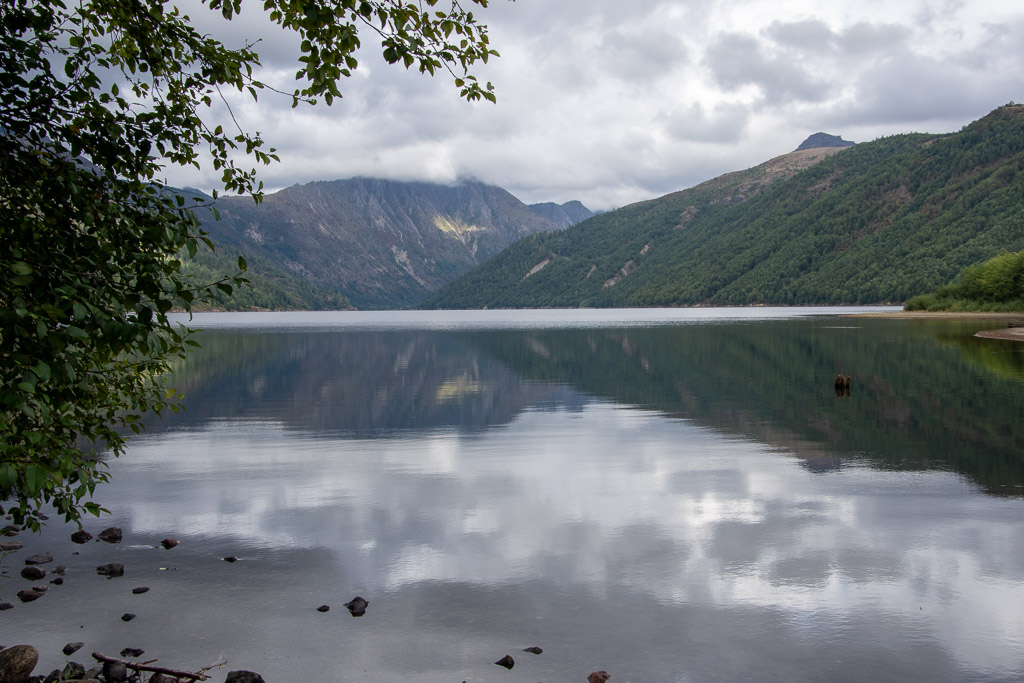 Coldwater Lake was formed when volcanic debris blocked Coldwater Creek.
 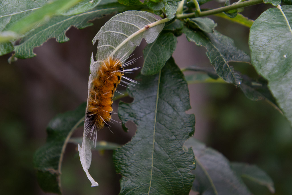 A wildlife shot!
 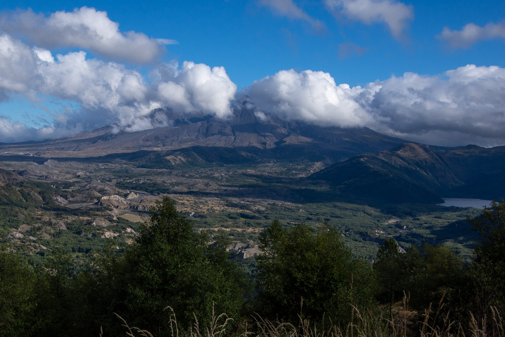 We stopped at an overlook before leaving the area and watched as the clouds moved past the mountain. The eruption of Mt. St. Helens was mostly from the side and it created a valley that faces mostly north (the cloud filled part on the left of the photo).
 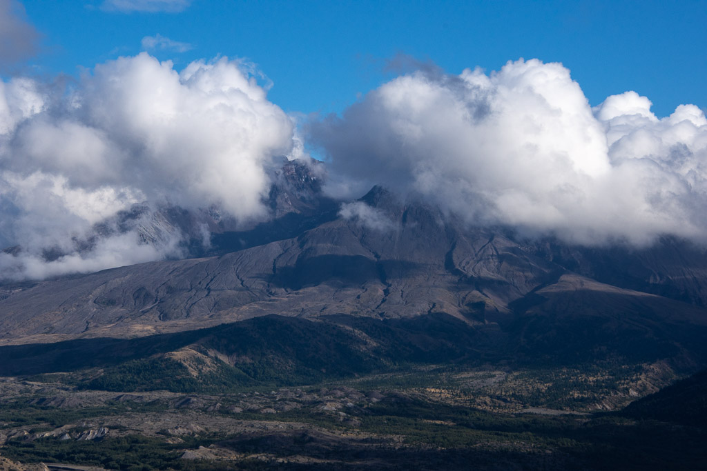 We caught a few views of what is left of the mountain.
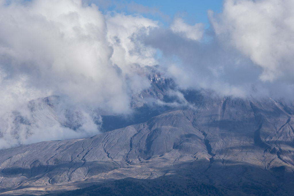 This definitely warrants a return trip.
 Here we go!
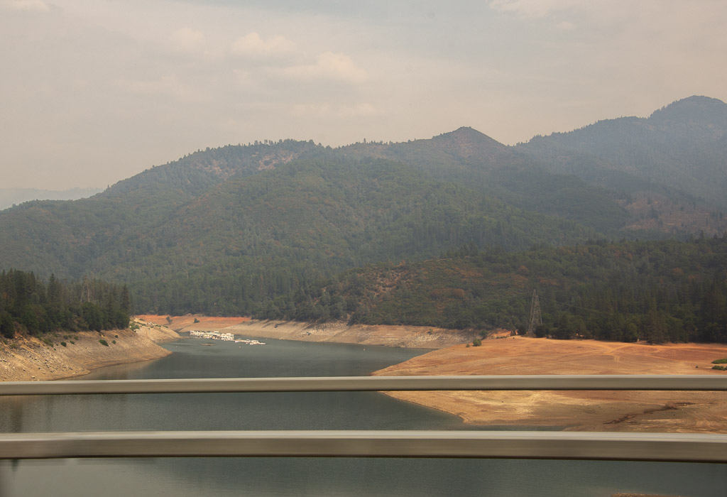 All of these photos are "drive-by", taken with my camera or my phone while in a moving car. They are hazy and the sky is ugly. But that's how it looked as we drove up the valley. We have been living for most of the summer with smoke-filled skies. Now we were smelling smoke too. This is Shasta Lake and it is evident how low the water level is. A reservoir can be an ugly place when the water is low (in my opinion).
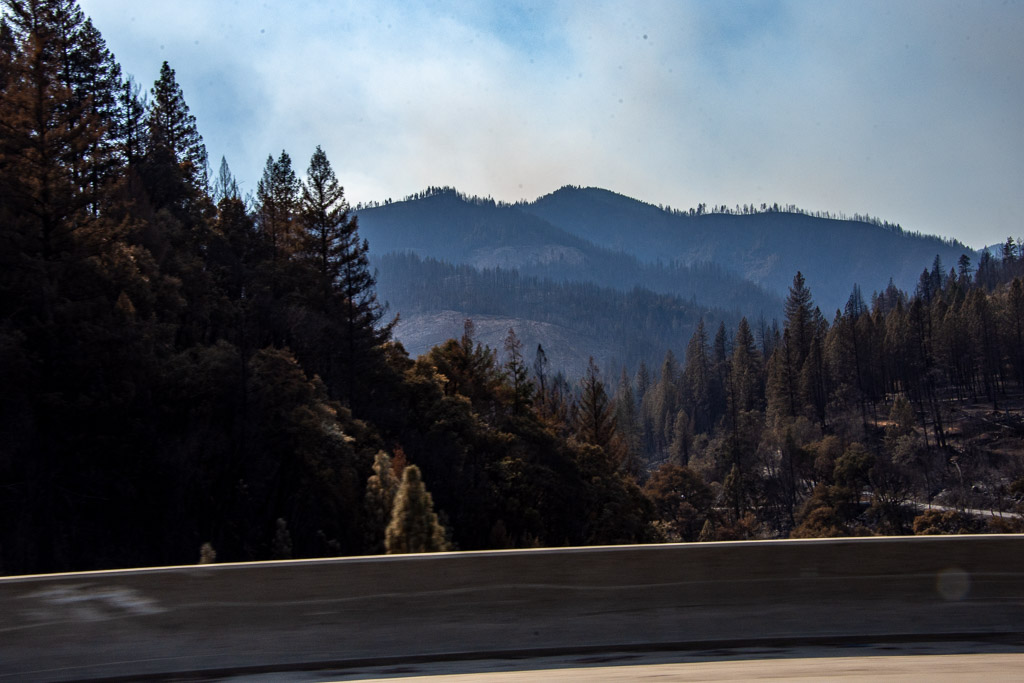
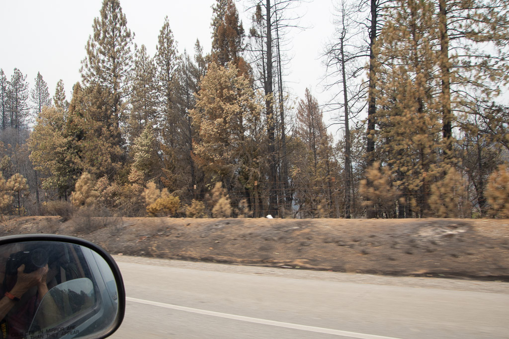 We began to see signs of the Carr Fire which had caused the closure of I-5 in both directions for 5 or 6 days just the week before we left.
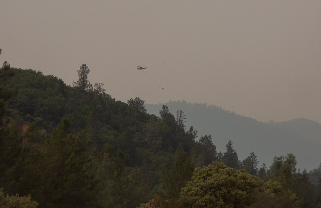 One of my son's manages a USFS helicopter and his crew was on this fire, but that wasn't the his helicopter.
 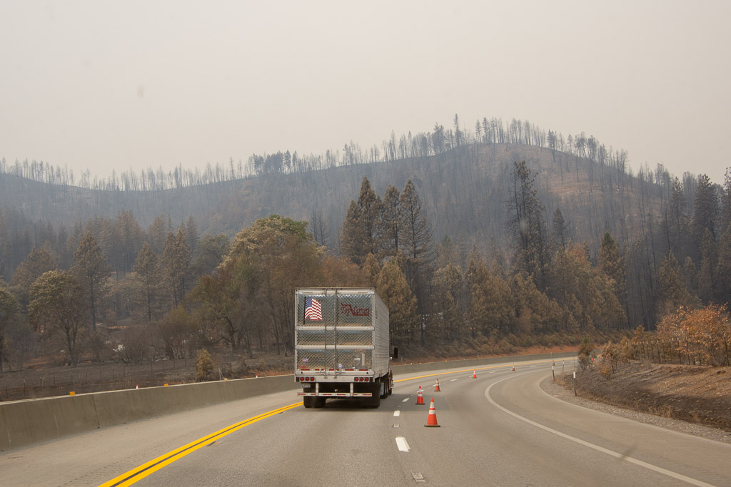 The fire had burned right up to the road and had actually burned vehicles that couldn't get away in time.
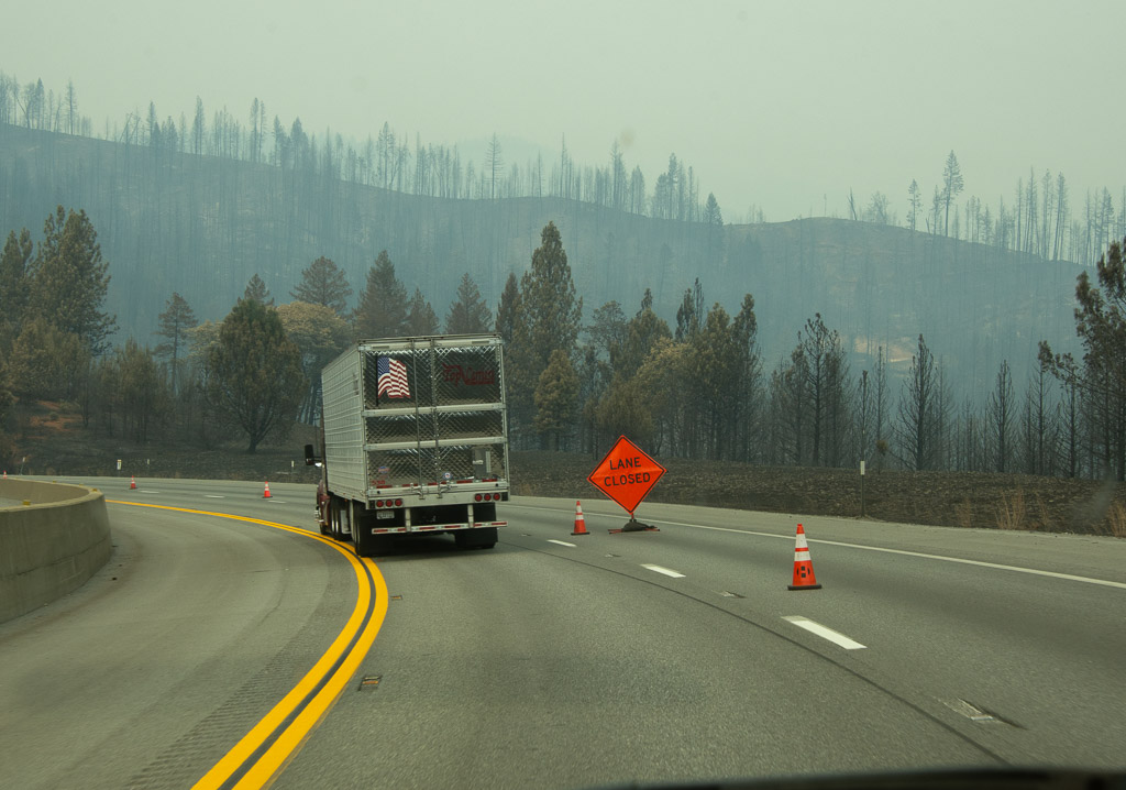
 Trees that are near the highway are being removed for miles.
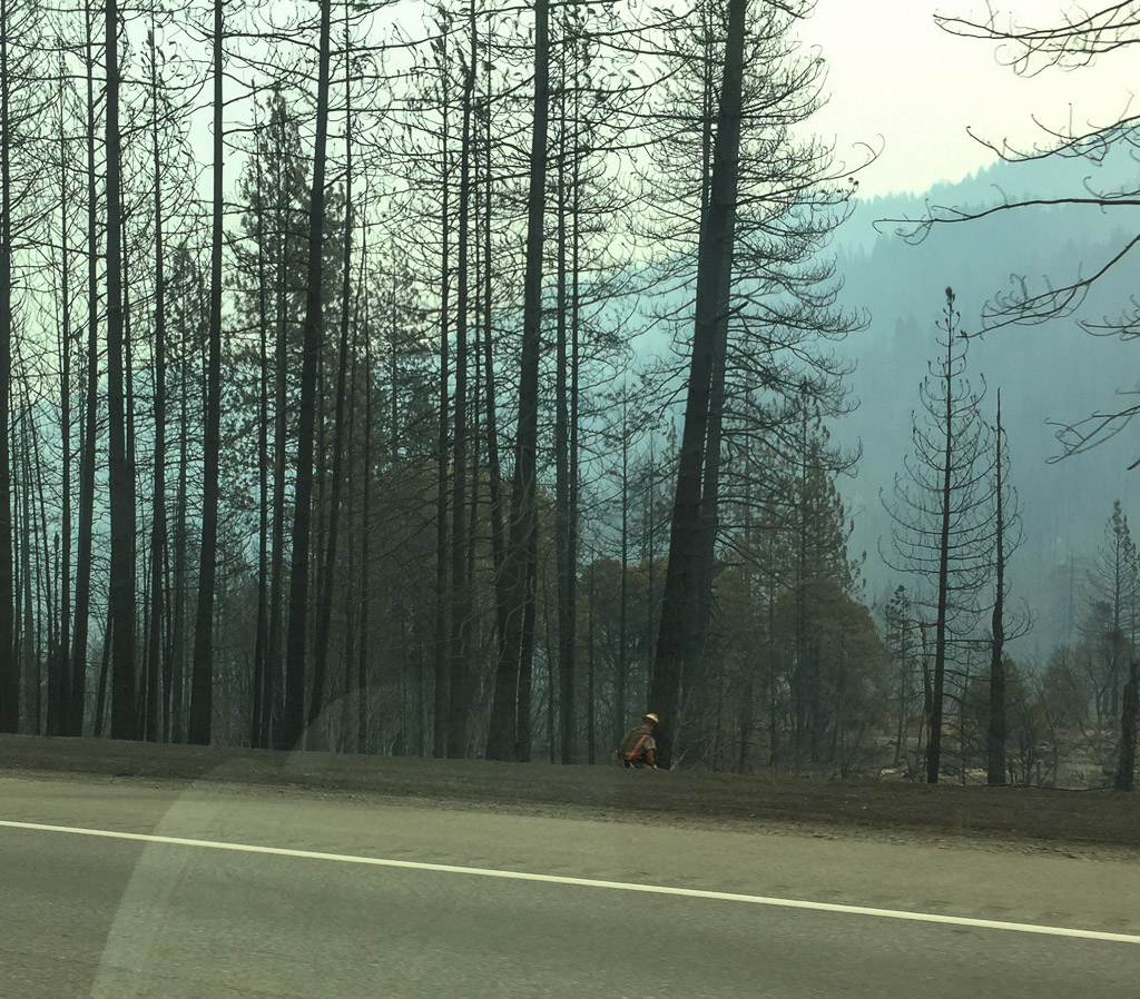 And it's not over yet!
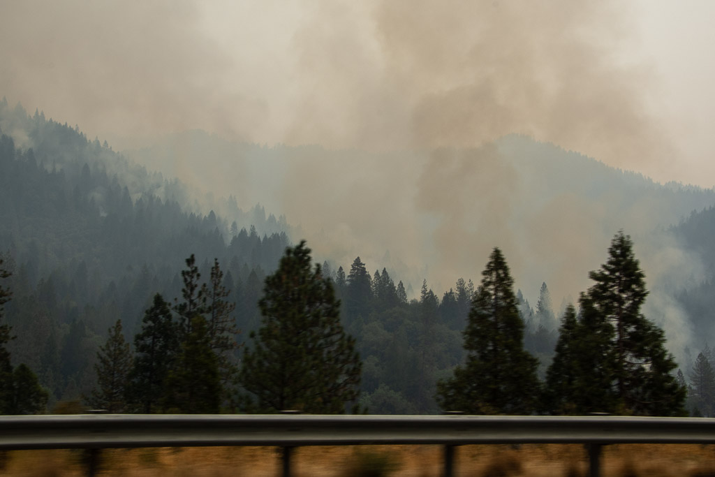 There were active smokes along several miles.
 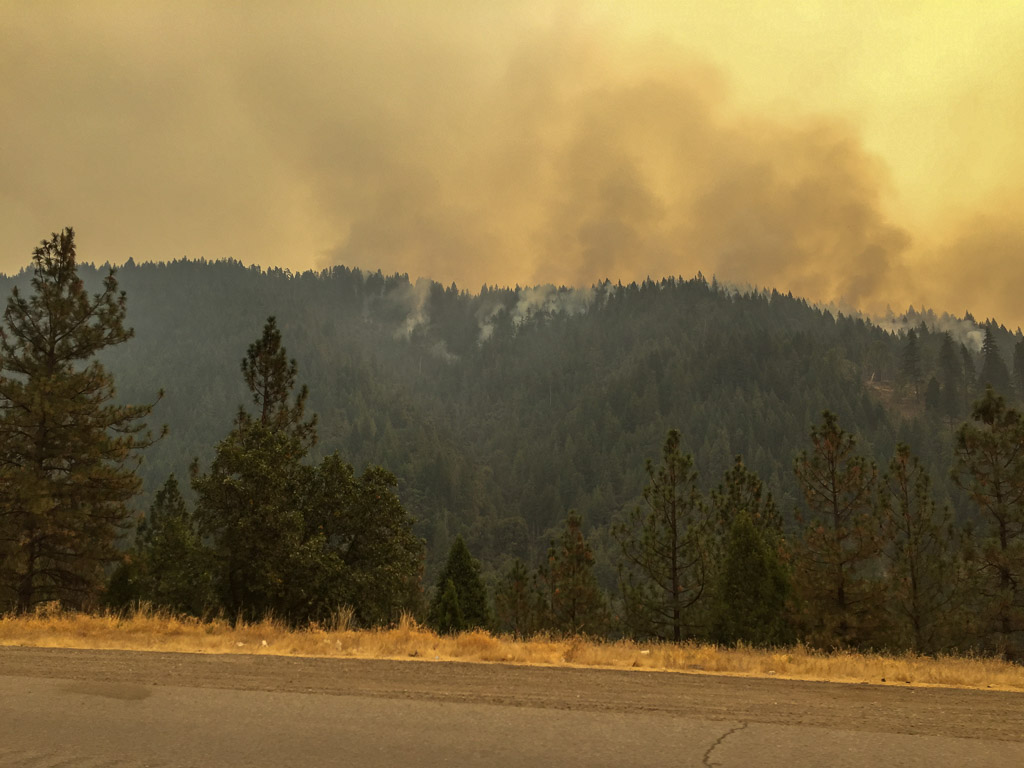 My two sons and a daughter-in-law all fight wildland forest fires. This is a scary year.
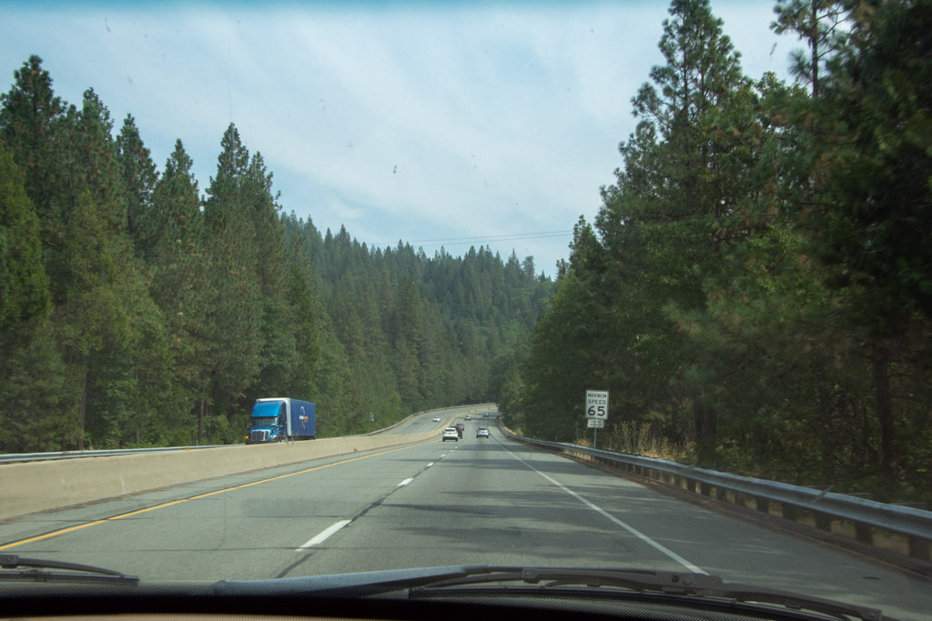 As we drove further north the skies cleared and the forest again hugged the sides of the freeway.
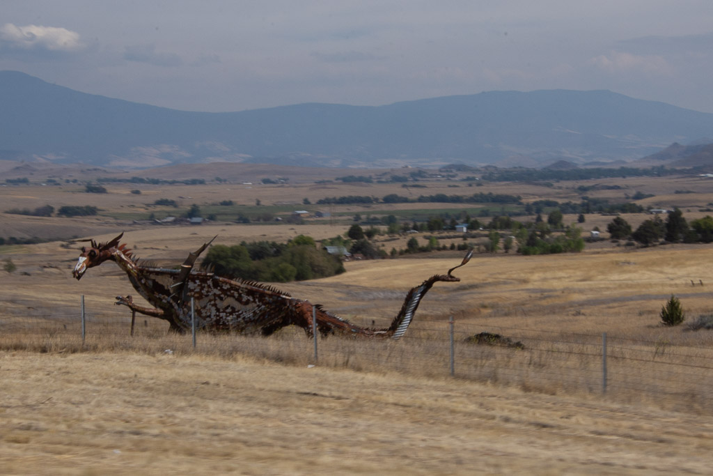 This isn't a great photo, but I am usually driving when I see this dragon.There is a metal cow and calf a few miles back that missed. But I got at least one photo of the dragon.
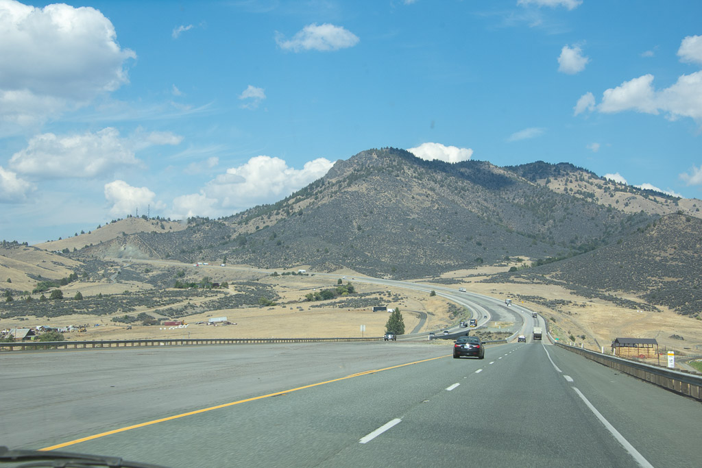 Heading to the Shasta Valley in northern California.
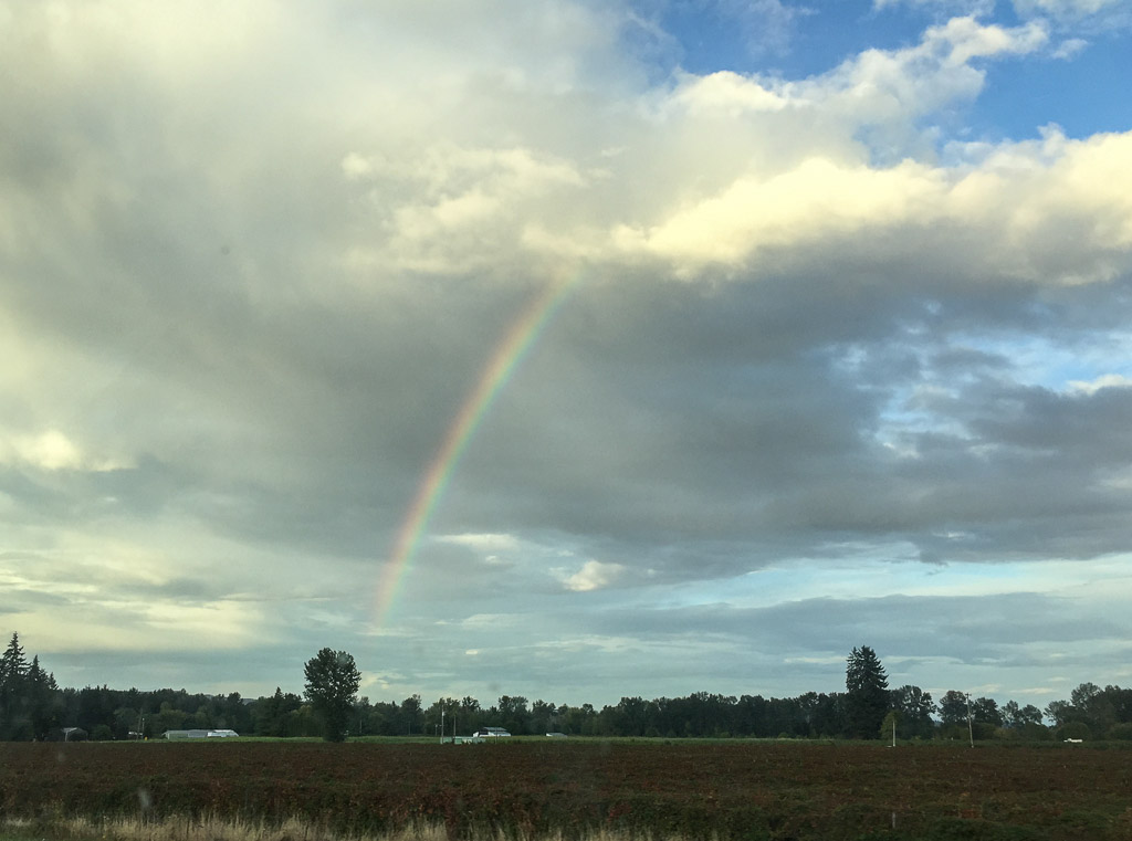 Somewhere in Oregon. It seems like a long time since we've had rain here.