
Hiking at Mt. Diablo State Park
/I have lived in California for all my life except for four years in the late 70’s/early 80s and all that time in the Bay Area Counties. I have been at the edge of the Central Valley in Solano County for 35 years. From this area when you have a clear view looking south (away from hills and trees) you can see a large mountain. Mt. Diablo is 50 miles away and rises 3,849’ in elevation. The State Park now encompasses about 20,000 acres.
We met my brother and sister-in-law at the Mitchel Canyon Visitor Center (closed for now) and chose a trail.
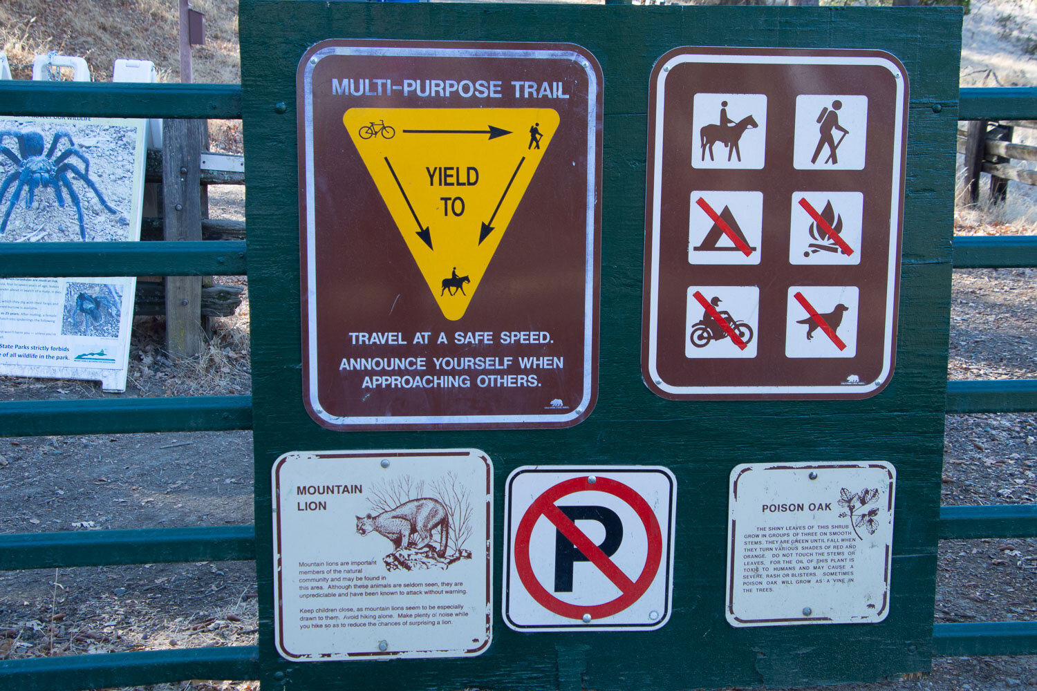
There are always plenty of warning signs at park trailheads…
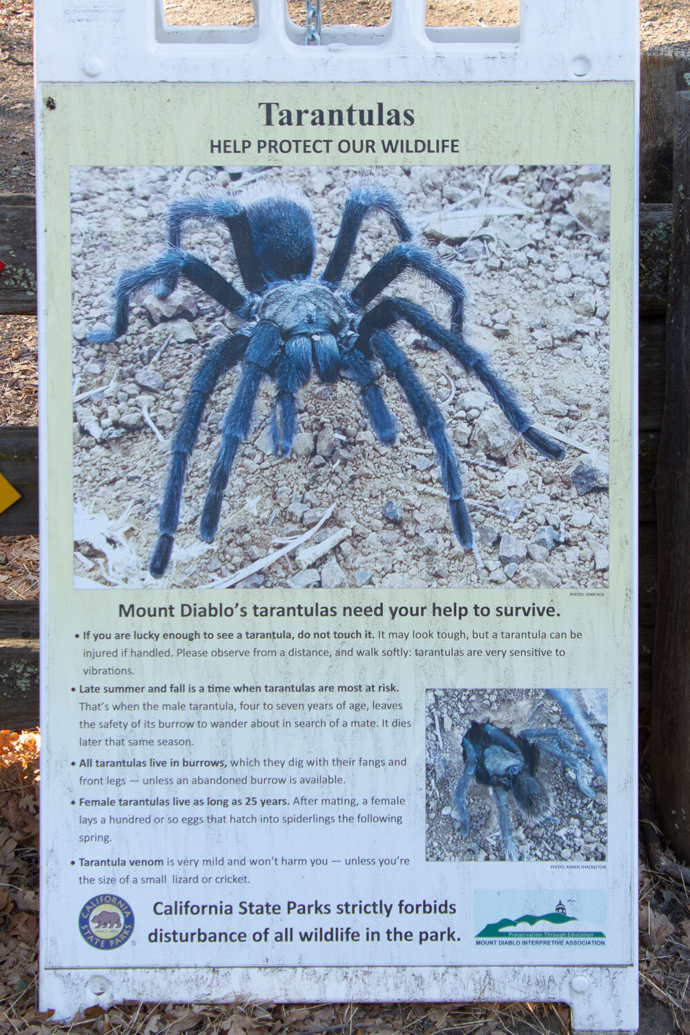
…but this was a new one for me. No, we did not see any tarantulas.

We picked up the last map in the box at the start of the trail. Even with the map and plenty of signs it seemed to take a committee to figure out which way to go.
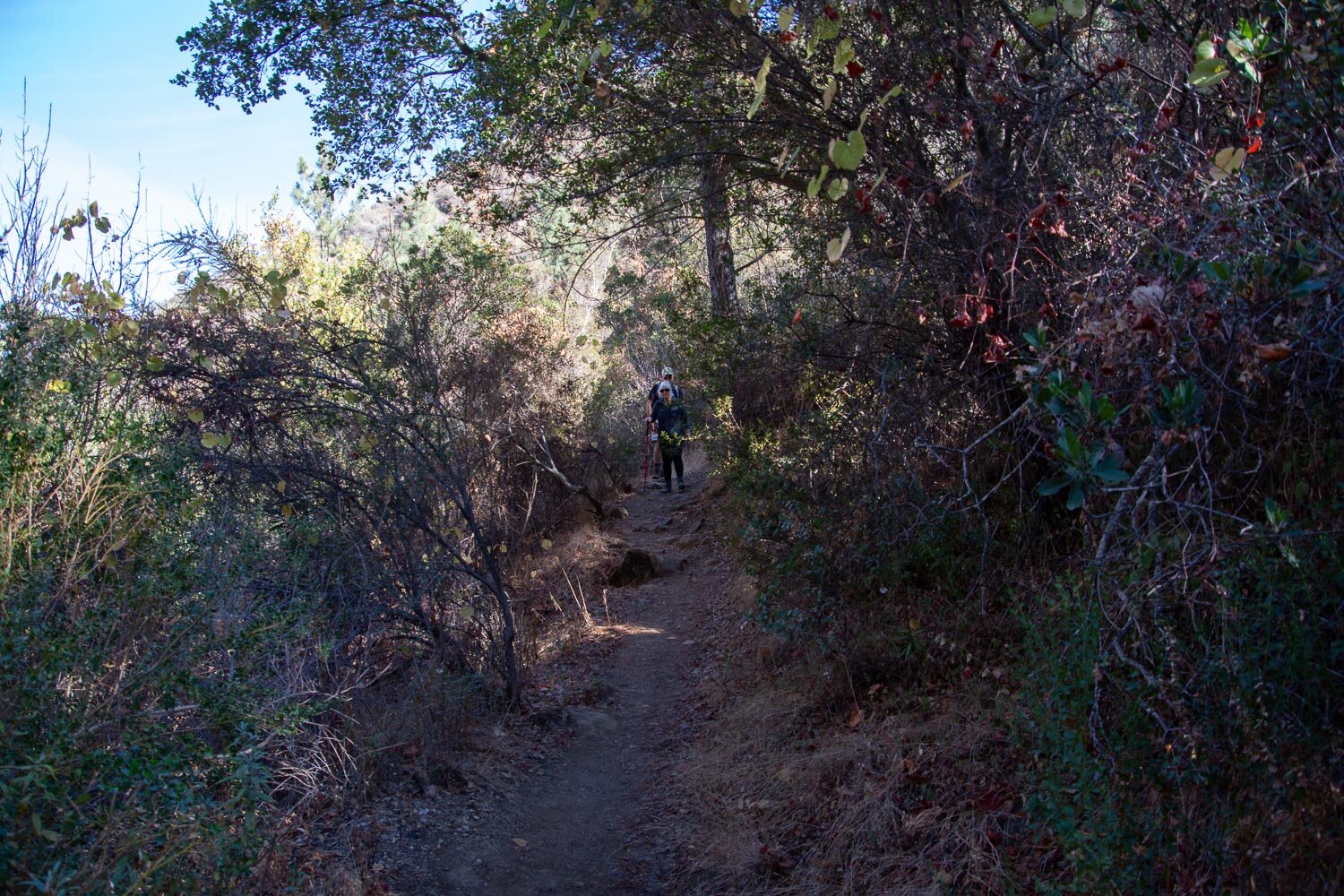
We started on a dirt road but soon turned off the road on the Mitchell Canyon Trail (or was it the Black Creek Trail or ?) Whichever it was, it seems as though they all went UP.

My brother, Dave, recently got a new lens and has become a photography buff. That is good because then I wasn’t the only one stopping to take photos of random things along the way.

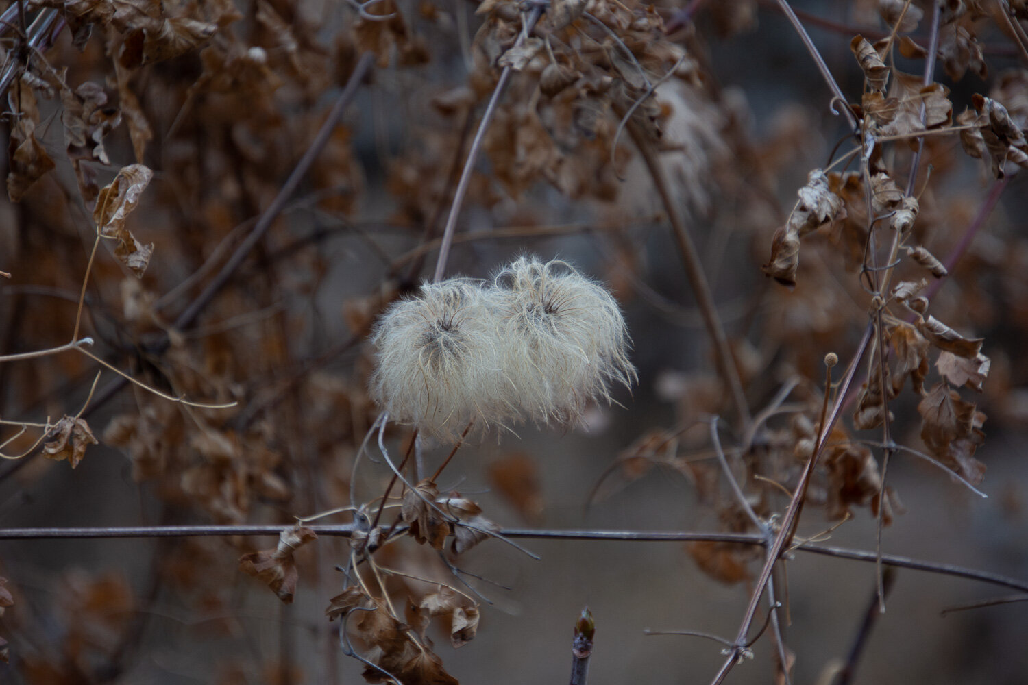
This is not the season for the spectacular wildflowers that I’m sure will be here in the spring, but neverhtless there is a lot to catch one’s attention. Seed pods alone are interesting from the Clematis below left to California Buckeye above, the colorful Juniper berries, and the unknown (below right).


I saw only one plant blooming and you have to give the California Fuschia a lot of credit for blooming at this time of year.
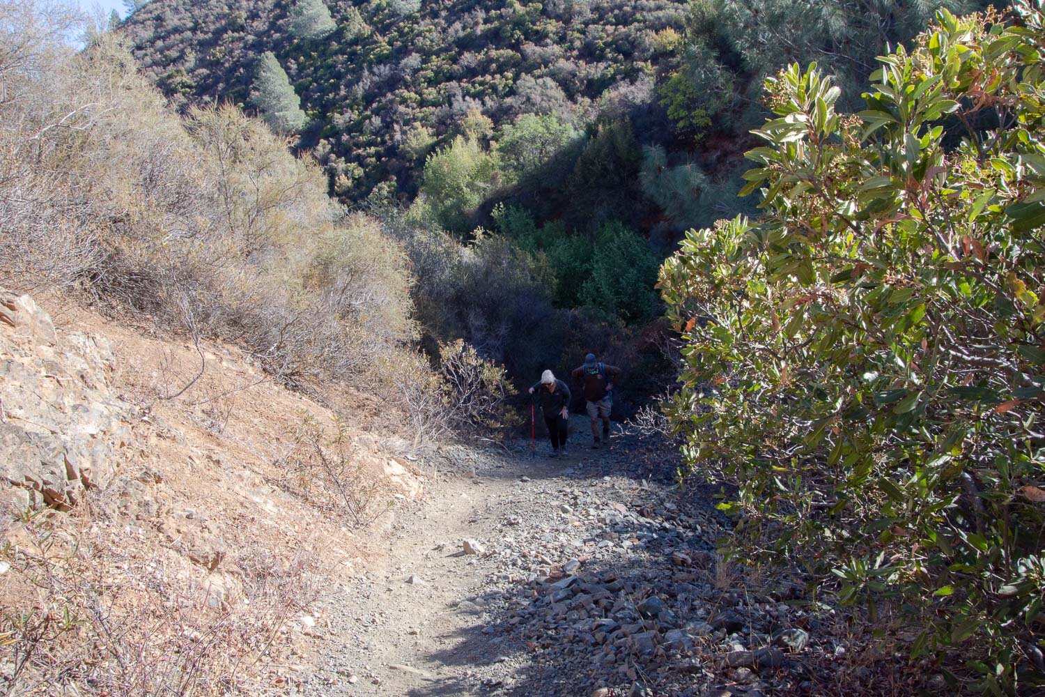
Did I say that the trail went UP?

And UP? A lot of it was through the canyon filled with chaparral. With all the fires that burned through California this year it seems amazing that this landscape was spared.

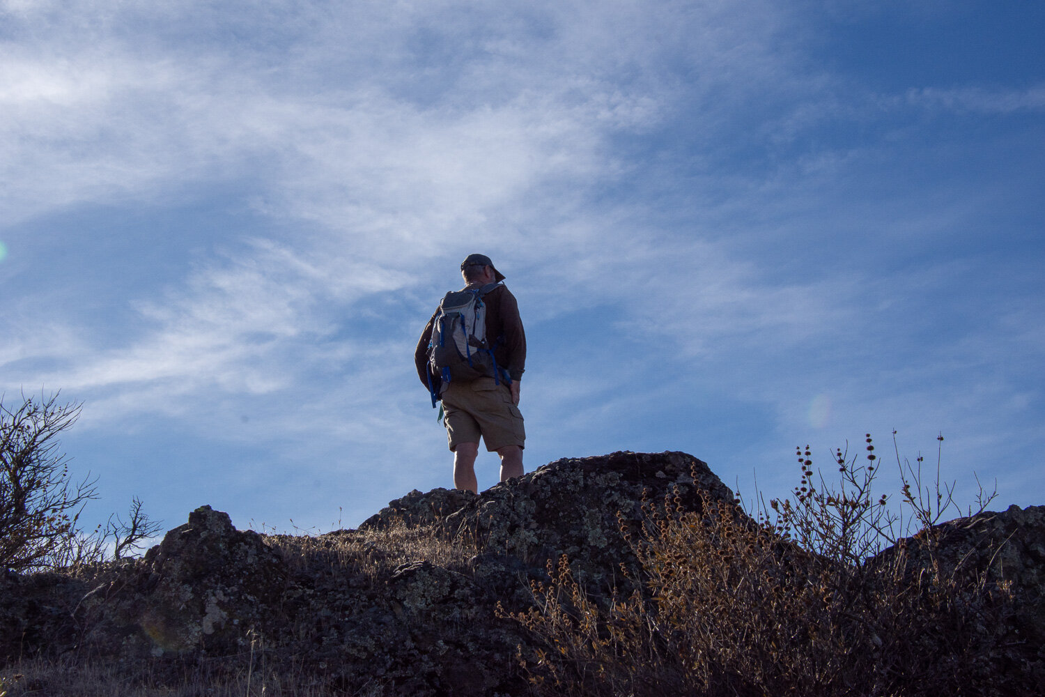
We got to a top. Not THE top, but a top.

Once we got above the brush the view was incredible. Those white towers are the windmills near Birds Landing and Rio Vista.

As we continued we saw more views. This is a panorama stitched together by Lightroom after getting home.

We had been heading south but now the trail turned north. This view shows that the Park and adjacent county or state preserves are an oasis of nature in the middle of the surrounding urban centers.

The view to the south. I think that is the Mt. Diablo peak, although there was another peak to the left of this shot, so I’m not sure which is the real summit.

The view east. Can you see the snow-capped Sierras in the distance?

We knew which peak we were on. This is the view northwest.

We eventually headed downhill.
But there were still more peaks to climb if one desired.


More map consultation too. Is this trail going to take us back to the parking lot or around another mountain?


A few of the last photos show another person with us. That is a young woman who lives in nearby Clayton and was venturing out alone. Way back near the beginning she saw us on the trail and asked directions. We told her that we’d never been here but we had a map, so she came along with us. We wondered later if she would ever choose to go hiking again after teaming up with all of us “old” folks who just kept at it for 7 miles, most of which seemed to be UP.
I was going to write more about some of the last photos but for some reason I can’t add any more text boxes to this post. Is that Squarespace telling me that the post is already long enough?
THE END.
