
Road Trip to Idaho - Days 4 & 5
/We drove to Idaho on Friday, spent Saturday with Chris and Meryl, hiked on Sunday and had dinner with Chris, and headed home on Monday.

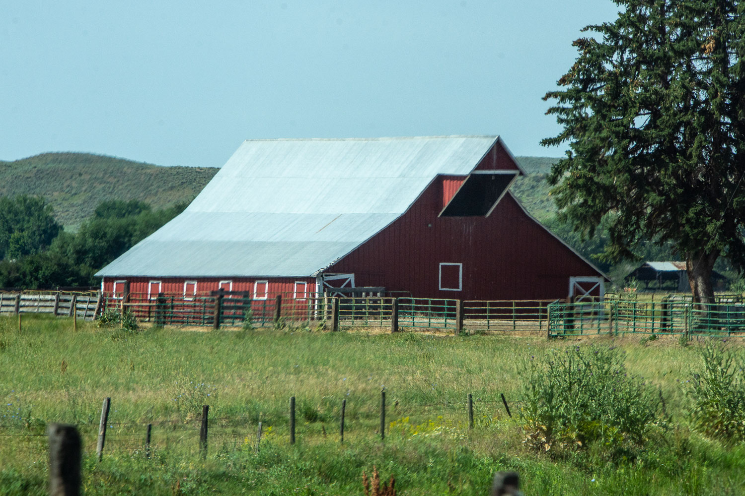
This is one of the buildings where Chris and many of the crew live.

Leaving McCall, this is a last view of the smokejumper headquarters. Chris would be leaving for Alaska in a couple of days, but he didn’t know that at this time.

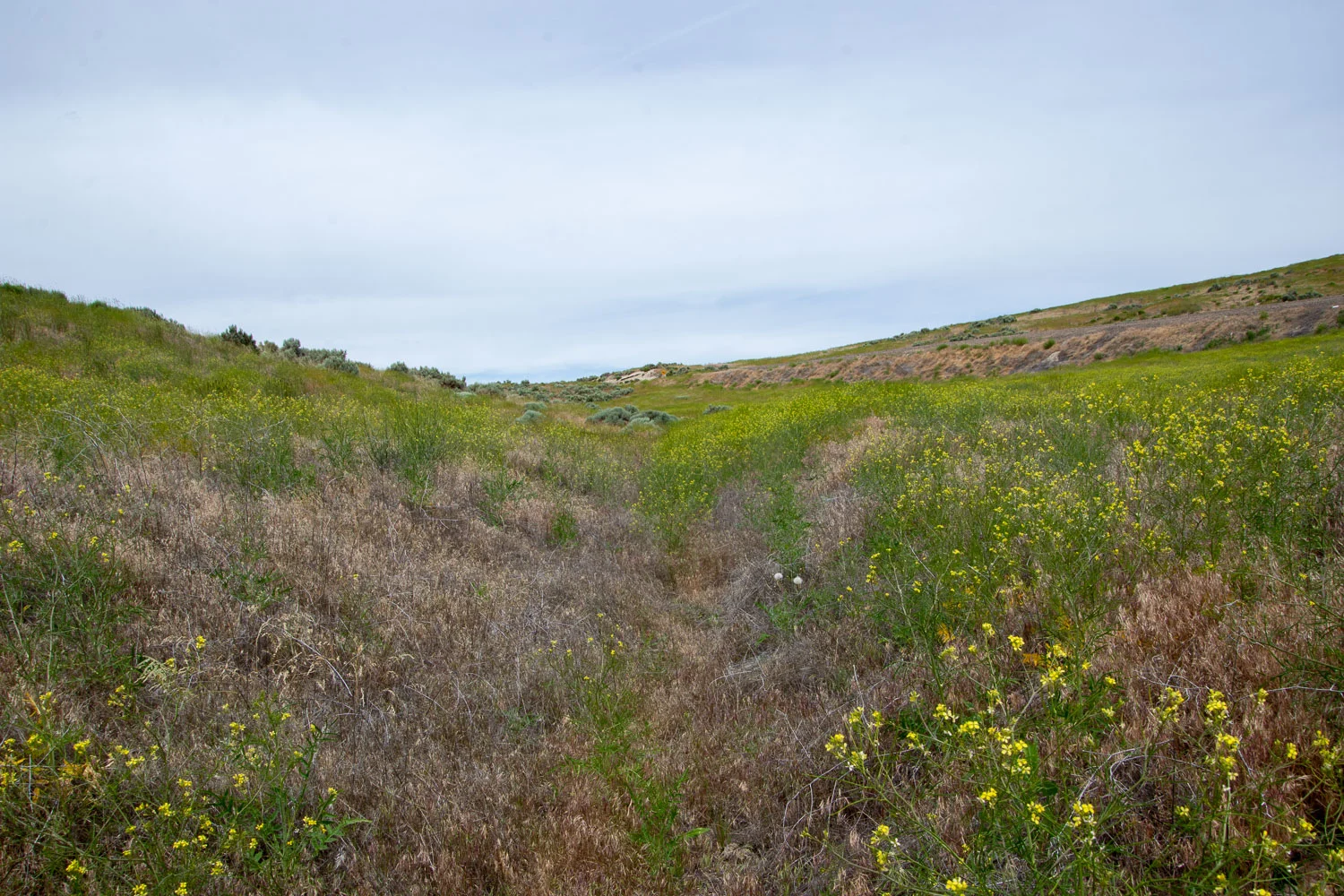
Almost all of the photos in this blog post are “drive-by” shots. I have lost track of where all of them are, but we traveled from McCall west and into Oregon on Highway 20.


There is an Oregon Trail Interpretive Site at Keeney Pass near Vale, Oregon. This photo and the one below are of the actual trail.

My kids used to get tired of hearing me say, “Can you imagine being in a covered wagon and making this journey?”

Sagebrush Mariposa Lily.

We saw lots of large burrows all around this area but weren’t sure what animals lived there.

Murals in the nearby town depicting the Oregon Trail. Too bad there is a car parked in front of this one.

This mural is titled “Death on the trail”.


Somewhere in southeastern Oregon.


I was still trying to get some yarn spun for my entry at Black Sheep Gathering the following weekend.

Lake Abert in Oregon. I had no idea there was this huge body of water here. This alkaline lake is 7 by 15 miles in size and has been an important stop for migratory birds.

Along Highway 395.

Another huge alkaline lake is Goose Lake, in Oregon and California. It is 9 by 26 miles at its maximum size and has completely dried up in some years, most recently 2013-2015.

Heading south on Hwy. 395 and then 299 we followed the Pit River and saw some of the most beautiful country. Imagine living in a valley where Mt. Lassen (in the photo) is to the south and Mt. Shasta to the northwest. Incredible.

We had driven a long way and I was almost desperate to get out of the truck. Just past Burney we looked for a place to camp. We didn’t realize that there was so little federal land along the main highway so we drive off north into part of Lassen National Forest and found a road where we could pull off for the night.

Sunset from our “camp”.

What is this photo about? I have to tell a story. A long time ago when the kids were little we were on the tail end of a long road trip (coming back from Idaho in fact) it was dark by the time the kids were settled and I was going to brush my teeth. I put Desitin (the diaper rash ointment) on my toothbrush by mistake. I have always remembered that and never made that mistake again until recently—and in fact twice in the last few months when I put anti-itch cream on my toothbrush by mistake. The first time I was staying in Hopland and I noticed it because there was no fresh minty flavor as we have come to expect in our toothpaste. I discovered it right away. This time I guess I was so tired that I went ahead and did the whole minute or two of brushing before I realized that something wasn’t quite right. In fact I think that my mouth started to feel numb. Note to self: turn on a light to check which tube is the toothpaste.

Morning walk before hitting the road.


Mount Shasta behind the ridge. We drove from here and got home before noon.
