Maryland 2018 - Day 5, The End
/I have ended up with a third post to finish out this day (and the Maryland trip). After visiting the beautiful old houses in Cumberland (this post) I went in search of more of the C & O Canal and planned to do some hiking before getting back to the motel in Frederick.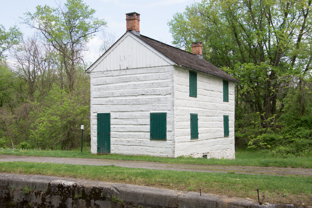 I shared photos of other parts of the canal in this post and the first post about this Maryland trip. This is the lockhouse at Lock 75, the westernmost lock on the C & O Canal.
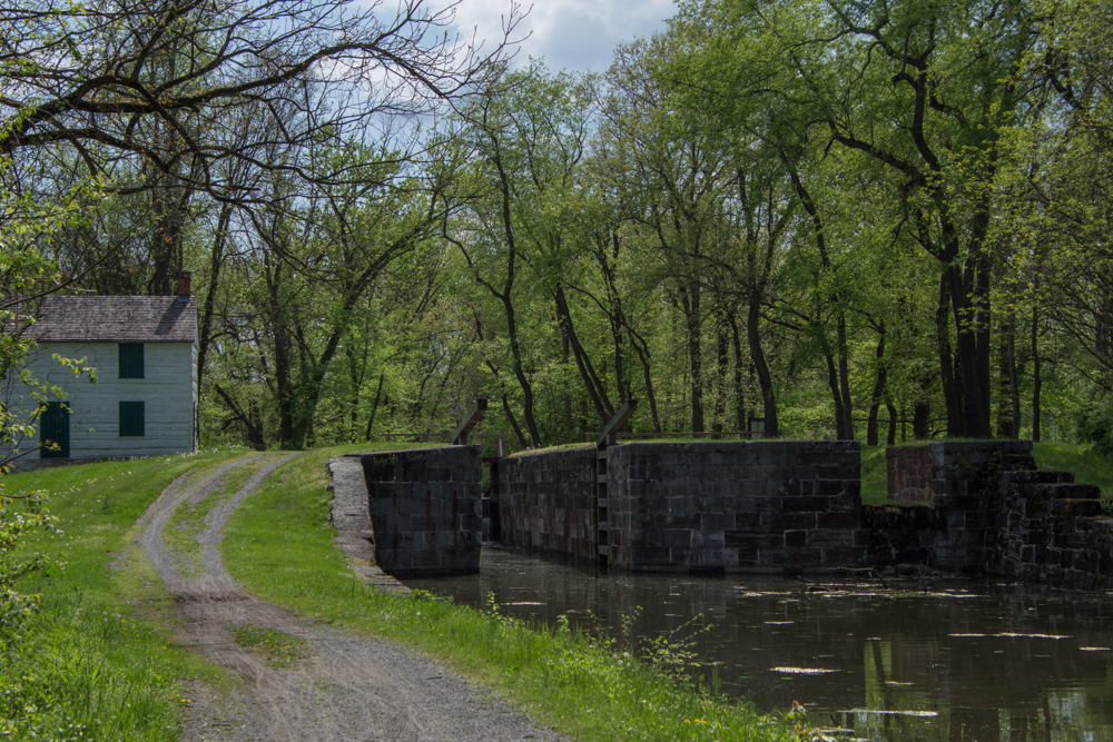
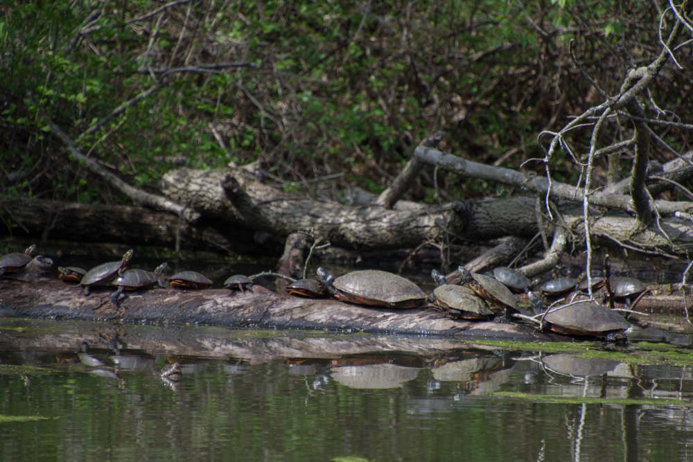 Turtles sunning themselves in the canal near Lock 75.
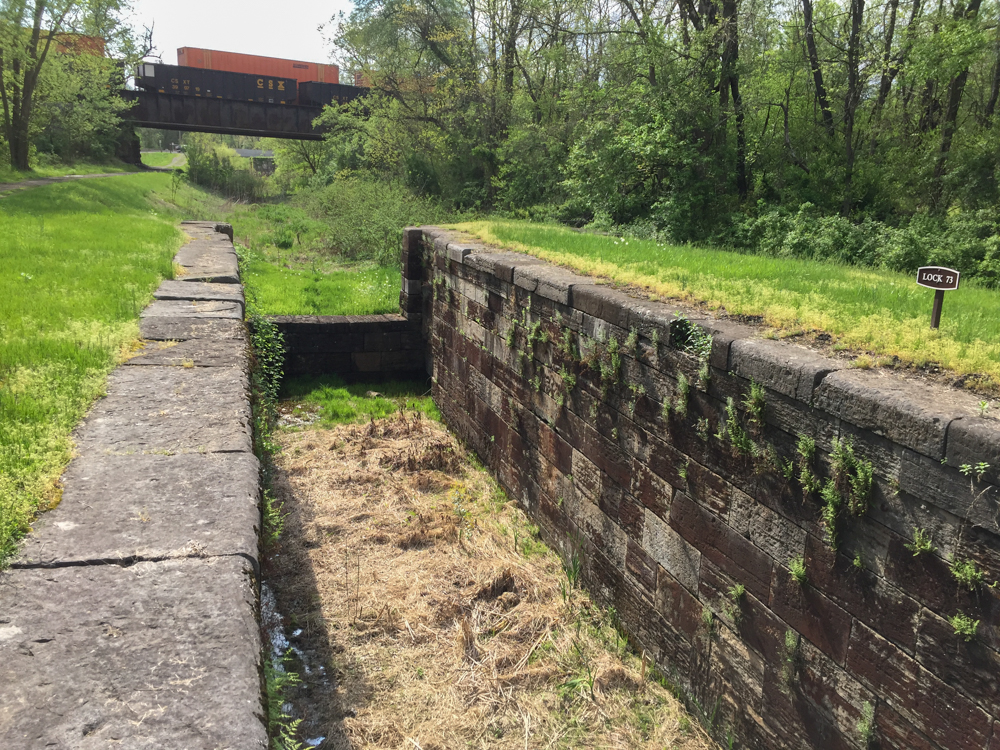 I drove along some of the roads in this area looking for more places to explore and found Locks 73 and 74.
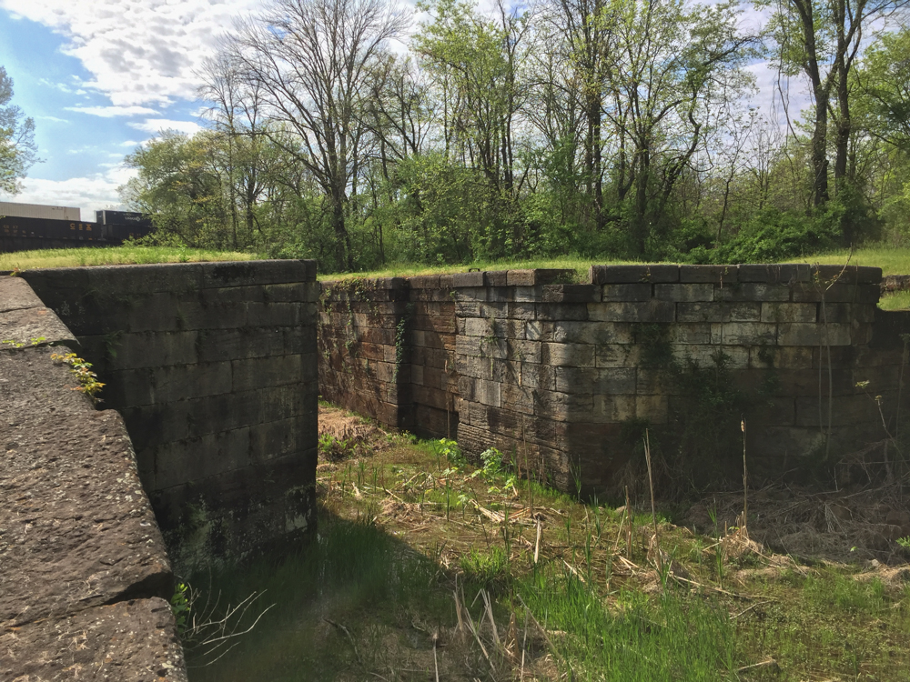 Notice the railroad over the canal in the previous two photos. The railroad and the canal were competitors for business during the era of the canal. Repeated flooding and competition from the railroad were the reasons for the demise of the canal system in 1924.
 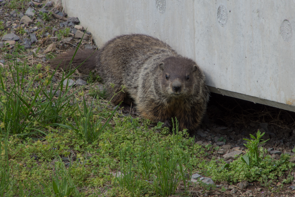 I saw a flash of this animal as he ran under the bridge. This is the first groundhog that I've seen.
I drove on and came to a sign for the Pawpaw Tunnel. From Wikipedia: "The Paw Paw Tunnel is a 3,118-foot-long canal tunnel on the Chesapeake and Ohio Canal in Allegany County, Maryland. Located near Paw Paw, West Virginia, it was built to bypass the Paw Paw Bends, a six-mile stretch of the Potomac Rier containing five horseshoe-shaped bends. The town, the bends, and the tunnel take their name from the pawpaw trees that grow prolifically along nearby ridges...Built using more than sixteen million bricks, the tunnel has been described as the greatest engineering marvel along he C & O Canal national Historical Park." 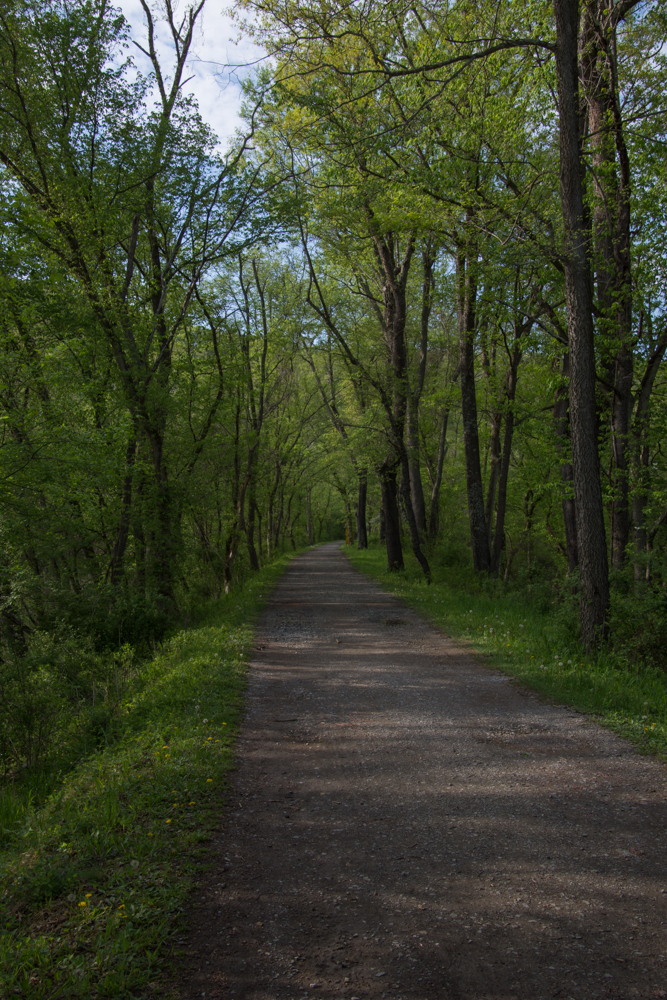 I had read on line that the tunnel was closed but thought that I'd be able to see the canal and walk along the towpath. This photo seems typical of much of the length of the towpath--a beautiful hardwood forest and a broad path to walk. One thing that I noticed everywhere was the number of birds. I didn't see all of them--but there was quite a chorus in the woods.
 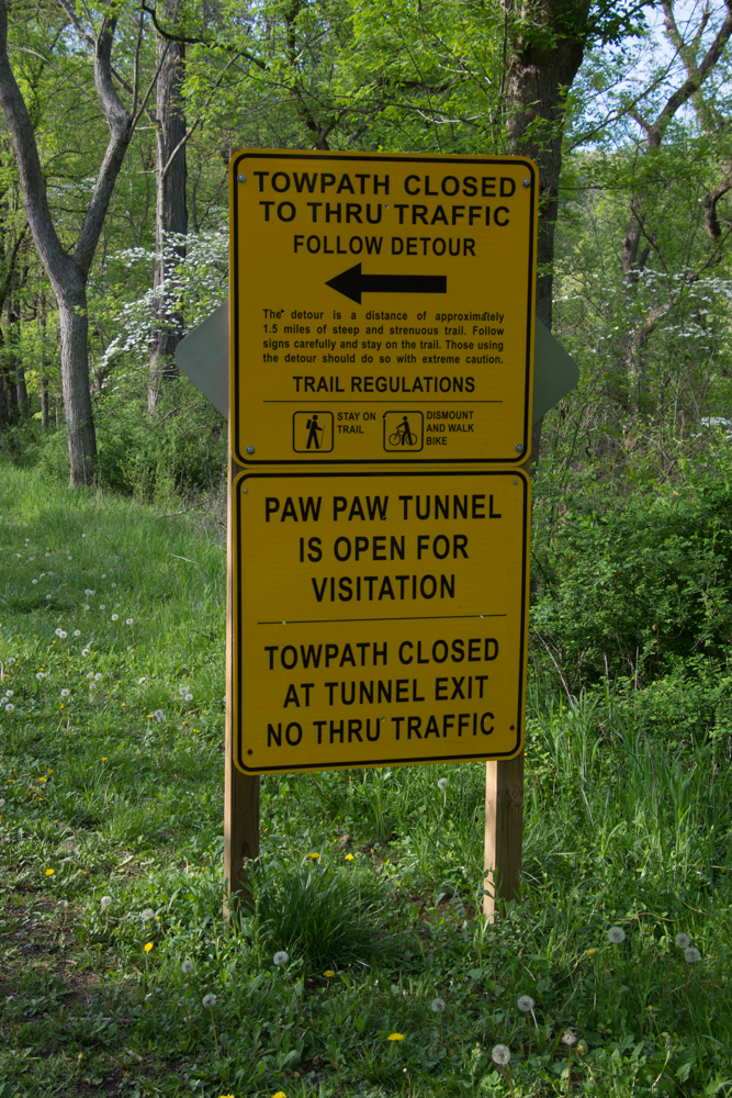 So I got to this sign and decided to take the detour.
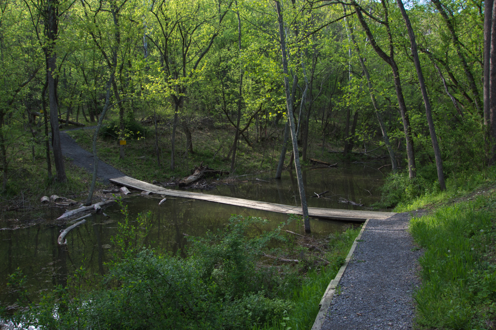 Wooden planks crossed the canal.
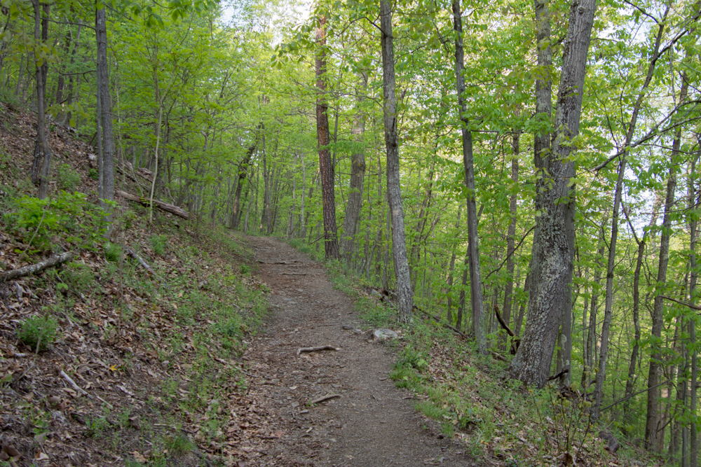 The trail wound up into the woods.
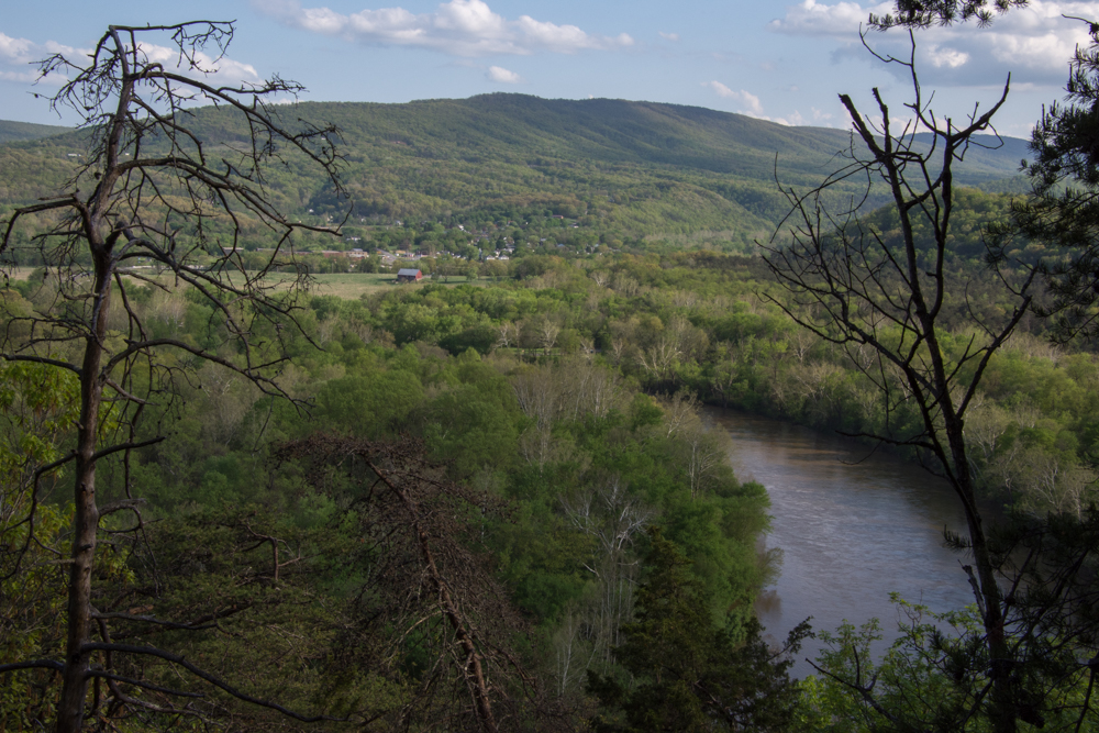 This overlooks the town of Paw Paw, West Virginia.
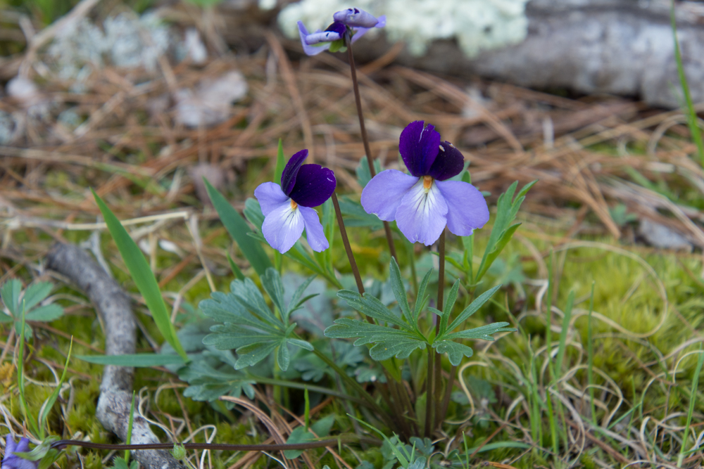 Viola pedata, Birdsfoot Violet.
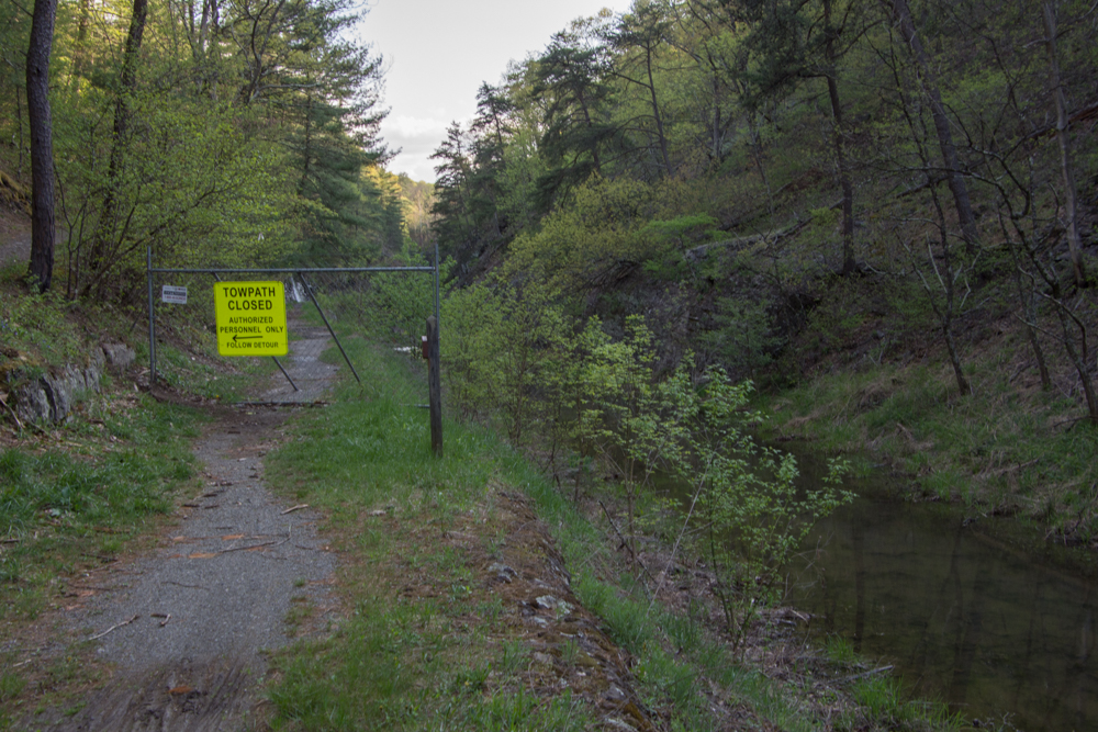 After hiking what seemed quite far into the woods I came back down to the canal and the towpath and saw this sign. From the looks of the terrain I assumed that is where the tunnel is even though the first sign had said it was open.
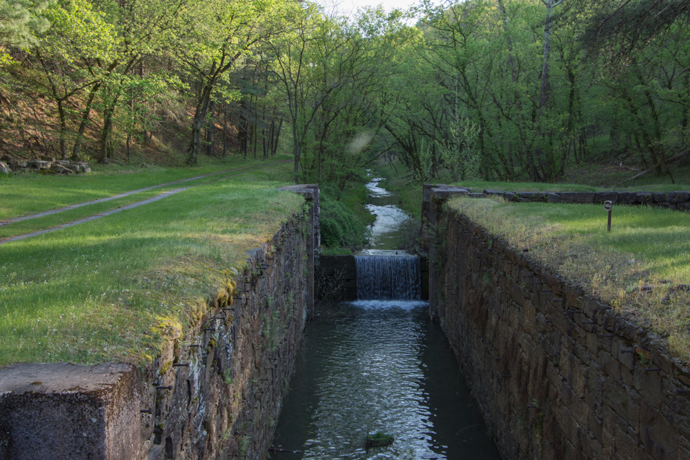 I walked the other direction, and saw this lock. The path continued around a bend.
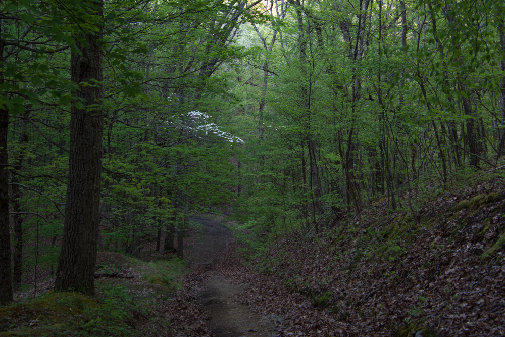
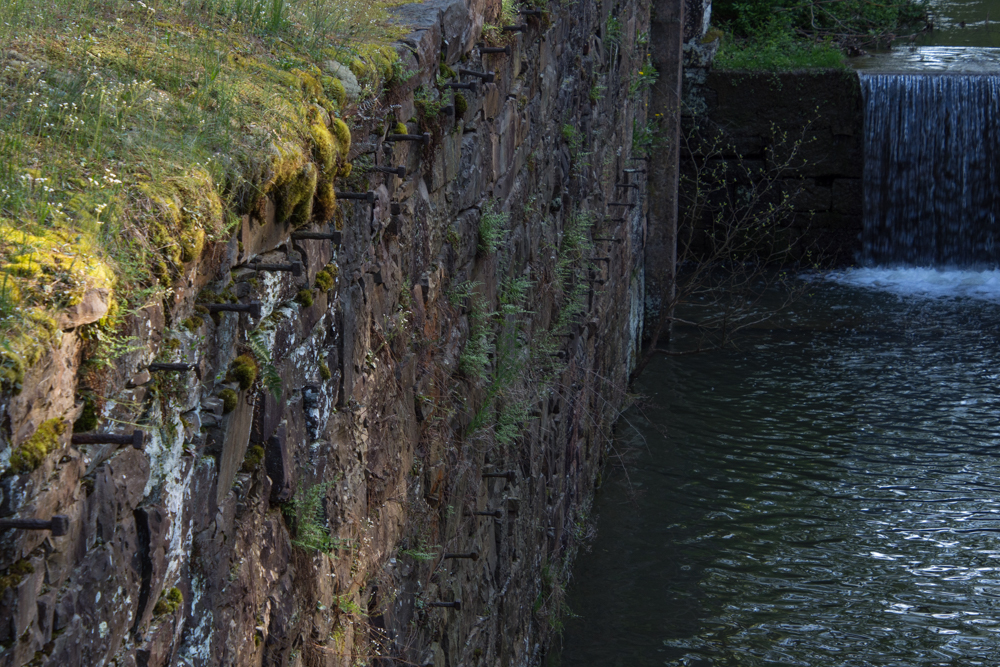 This was confusing. I assumed that there was a reason to make a detour and wasn't sure if I continued to walk along here (towards where the detour sign had been) that I wouldn't come to an impassable spot. Why else would there have been that sign? Or was I completely turned around? It was getting late in the day and my mind started to play tricks. Are there bears in these woods? I'm all by myself and no one knows where I am or will know if I don't return. My phone battery is almost dead. There was no cell service, but I wouldn't even have a flashlight.
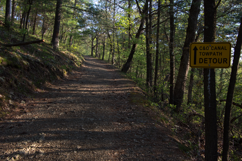 So I decided to turn around and go back the way I had come.
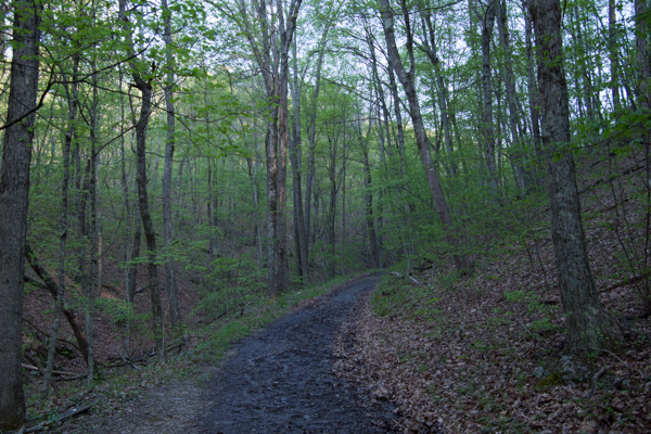
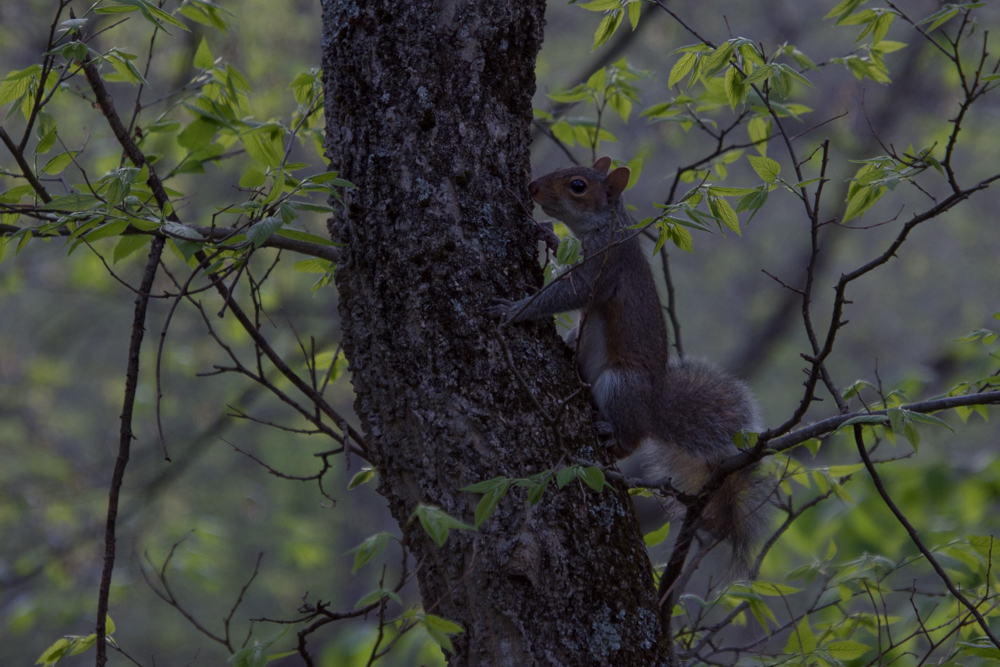 No bears, but there were a lot of squirrels.
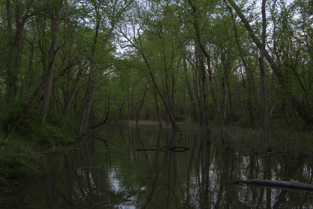 Crossing the canal.
I was disappointed to not find the tunnel, but this was a beautiful place to hike and a good end to the day. I drove the beautiful Country Roads of West Virginia (I want to break into song here) back to the freeway.  I hit this point at dusk.
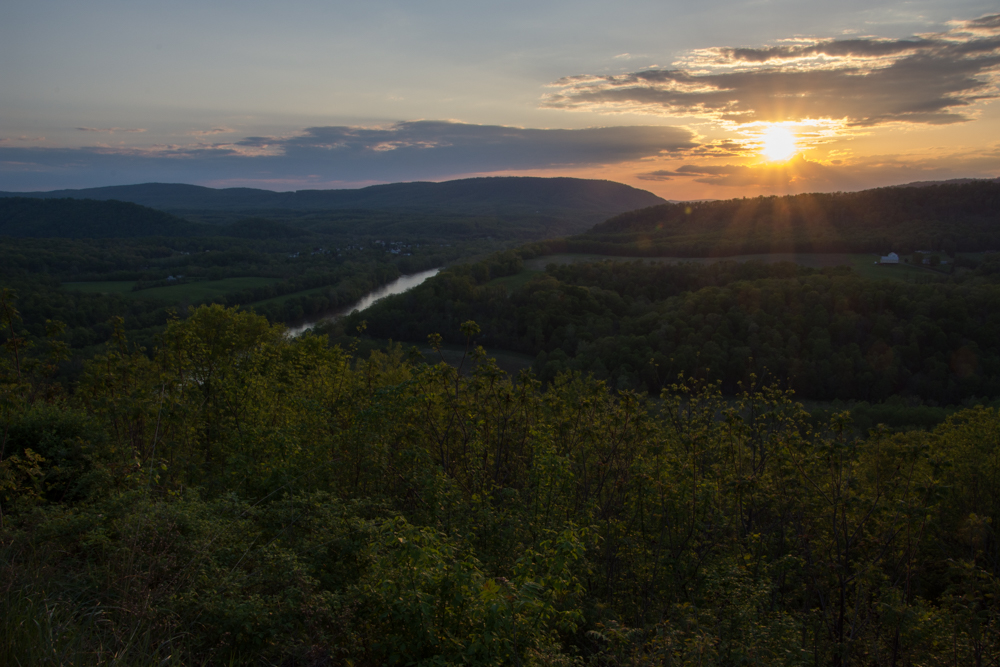 It was dark by the time I got to the freeway and I got back to Frederick at about 9:30 after a long day. That was it. I flew home the next day.
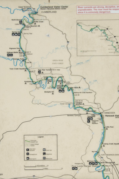 This map shows just the western half of the canal and it really should be turned 90 degrees because the canal runs east-west. I was staying in Frederick which is about a half hour from the Potomac River and the canal. I headed for the canal at a place called Four Locks.
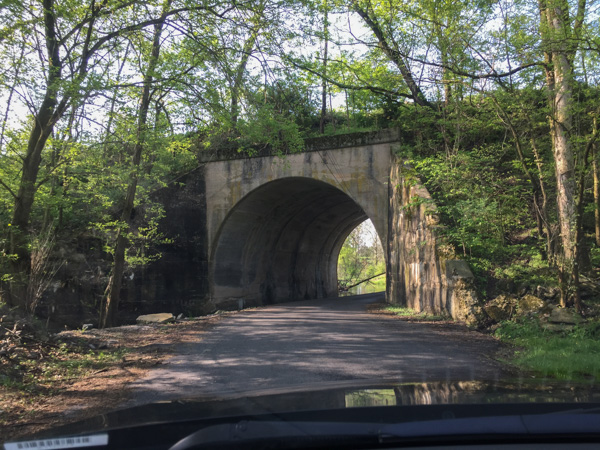 In this area the roads cross back and forth under the railroad which also follows the river. In fact a lot of the story of the canal is about the competition between people who thought the canal would serve as the best way to transport coal to the west and those who supported the railroad.
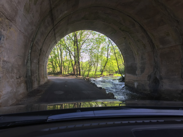 The railroad goes over the road here and the creek runs through the tunnel.
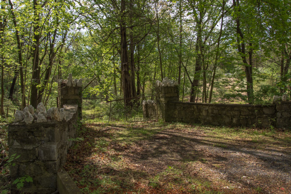 I followed my phone directions and found myself turning off the main road onto other narrow roads that wound through the woods.
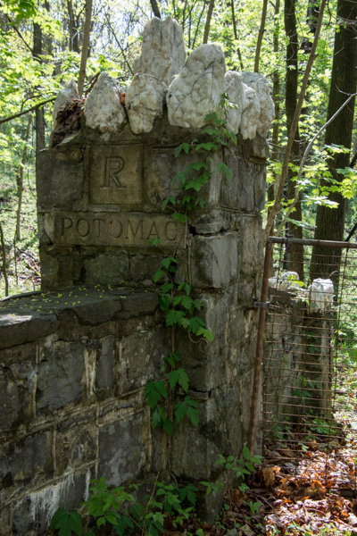 This is a detail of the stone fence in the previous photo...
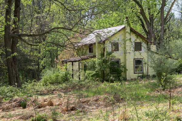 ...and this is the abandoned house at the end of that driveway.
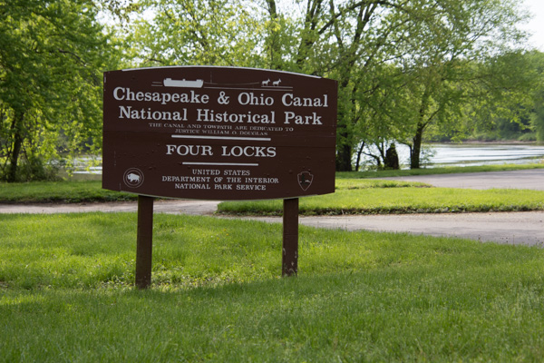 I found Four Locks, so named because the Potomac River makes a large loop here.
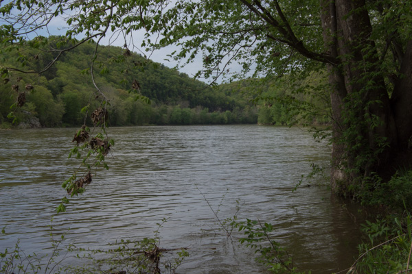 View of the Potomac River.
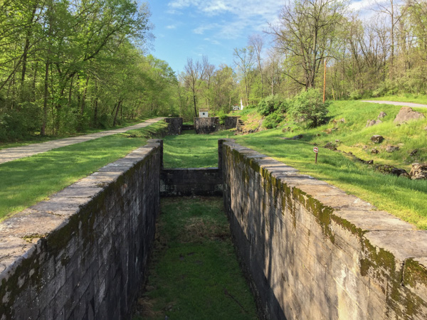 Rather than build a canal the length of the loop, the canal makes a short cut, necessitating four locks (#47-50) all within a half mile.
 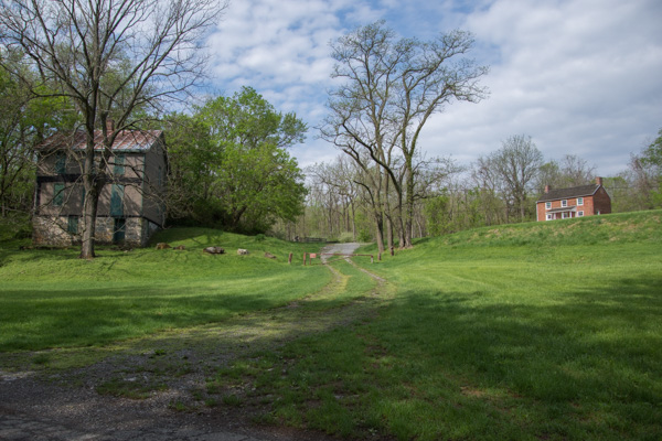 The locks were built in 1836-1838 and until the canal closed in 1924 there were two general stores, two warehouses, a dry dock, mule barn, post office, school, farms, and houses in this community.
 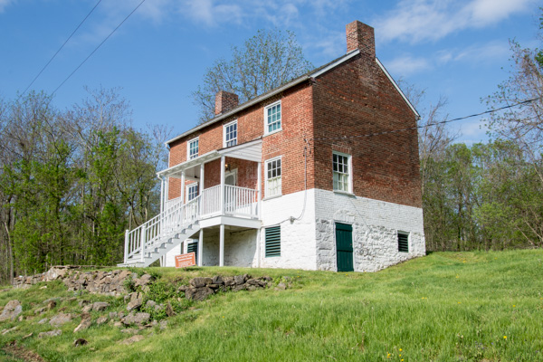 The lockhouse at this location is available to rent for overnight stays.
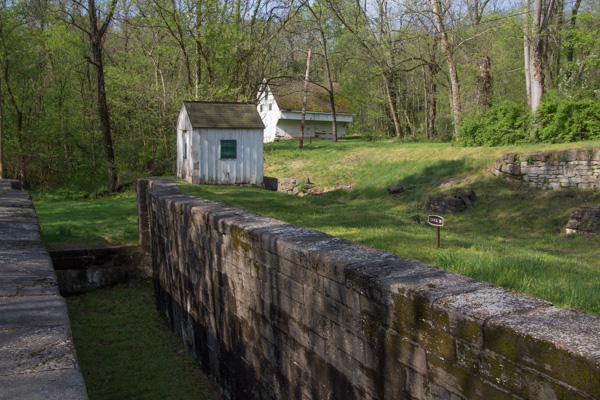 That is the mule barn in back. I read that there were 3000 mules working on the canals moving boats between the locks. I found it fascinating to imagine the effort that went into this endeavor--not only the construction but also moving boats up and down the canals. I hadn't made it to the Visitor Center yet so didn't yet have the full story.
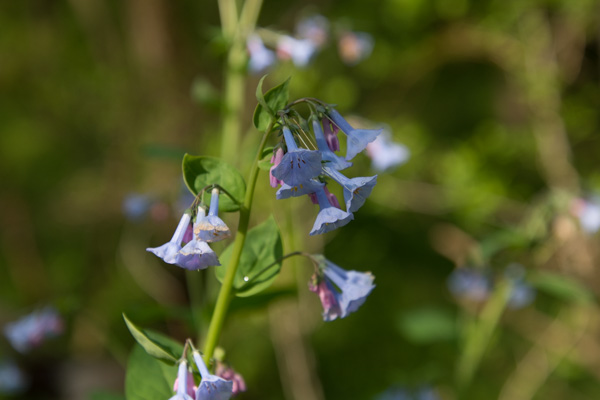 Virginia bluebells.
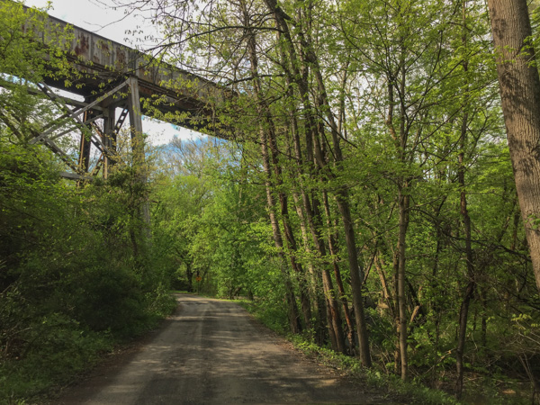 After walking around Four Locks I wound a few more backroads to find McCoys Ferry, a crossing on the Potomac. That is the railroad passing overhead. Then I got back to the freeway to head to Cumberland.
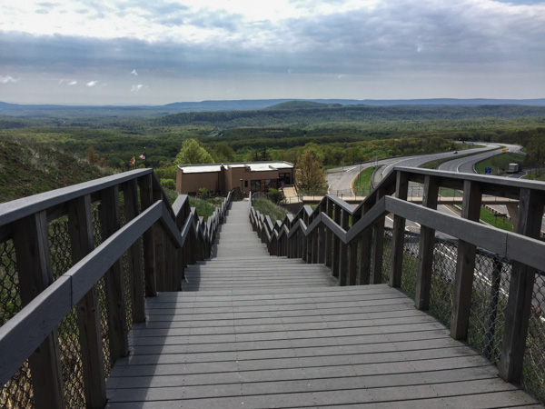 This is Sideling Hill Visitors Center, a rest stop along the highway with a great view over the pass and interesting geology in the road cut.
 From Wikipedia: "... the four parks, together, protect 45% of all remaining coast redwood (Sequoia sempervirens) old-growth forests, totaling at least 38,982 acres. These trees are the tallest and one of the most massive tree species on Earth."
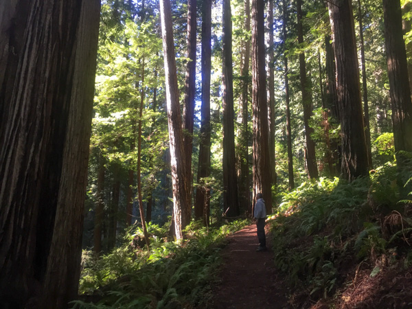 In 1850 there were 2 million acres of redwood forest along the northern California coast. After years of unrestricted logging the Save-the-Redwood League, created in 1918, was successful in establishing three State Parks in the 1920's.
 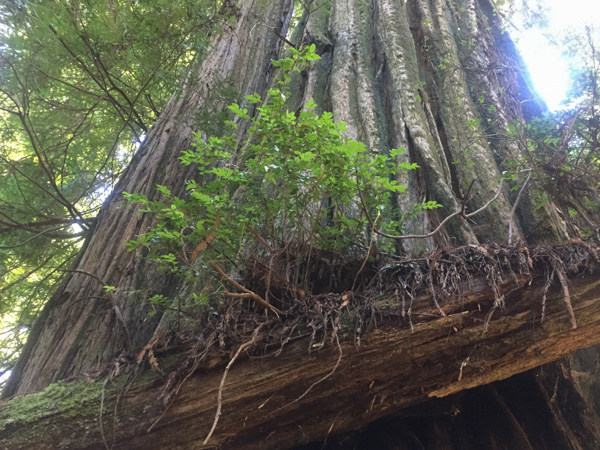 Redwood National Park was created in 1968 after 90% of the original redwood trees were gone. Now the State and Federal agencies cooperatively manage the forests and watersheds as a single unit.
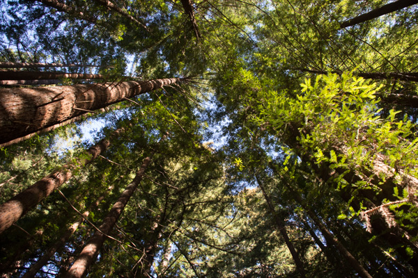 I'll mention here that all these photos were taken with my iPhone because the previous night I dropped my camera (on the carpet in the motel) and the lens popped off. I couldn't get it back on and knew that I wouldn't be able to get it fixed until after I came back from Texas (where I was headed as soon as we returned from this trip).
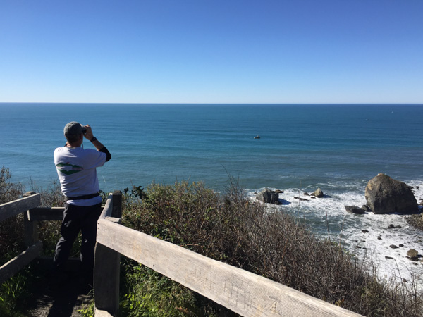 We took a side trip to the spot where the Klamath River flows into the ocean and walked down the steep trail to this overlook. That's Dan looking across the ocean for Meryl (my DIL who is in Australia right now).
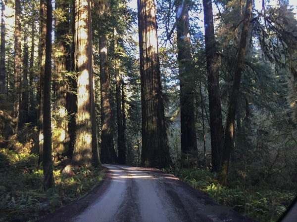 We drove farther north to the Stout Grove in the Jedediah Smith Redwoods State Park.
 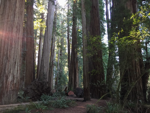 Every time we stopped we continued to be impressed with the grandeur of these trees and the forest.
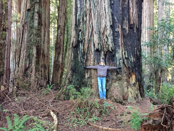
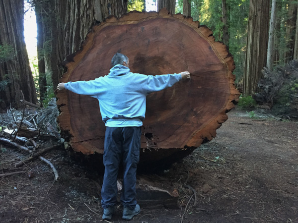 This tree had fallen and then was cut to clear the path.
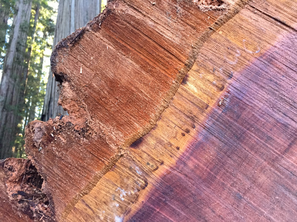 Look at that brilliant color.
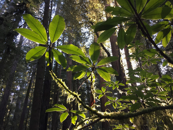
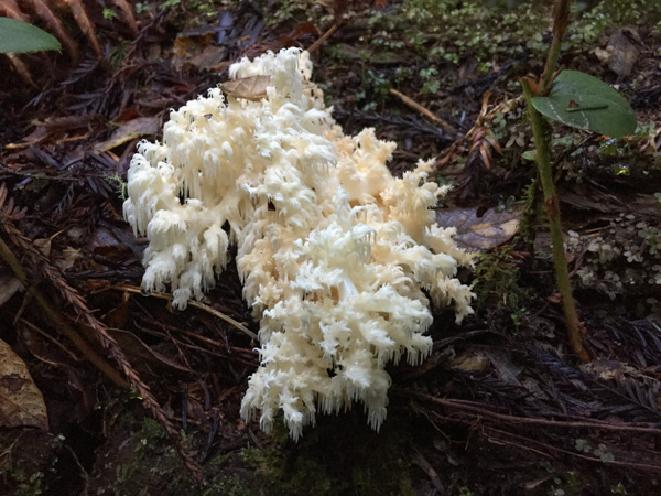 We were surprised that we didn't see more mushrooms and fungus, but this one did catch my eye. Late in the afternoon we headed toward the coast at Crescent City.
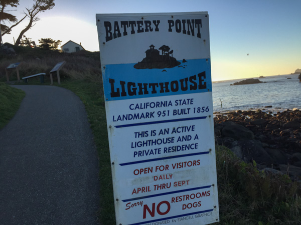 Our map book showed two lighthouses so we started with Point St. George. We found that lighthouse (manned from 1891 to 1975 and abandoned in 1995) but it was 6 miles offshore. The Battery Point Lighthouse is accessible at low tide so we were able to walk to it, but we were too late for a tour.
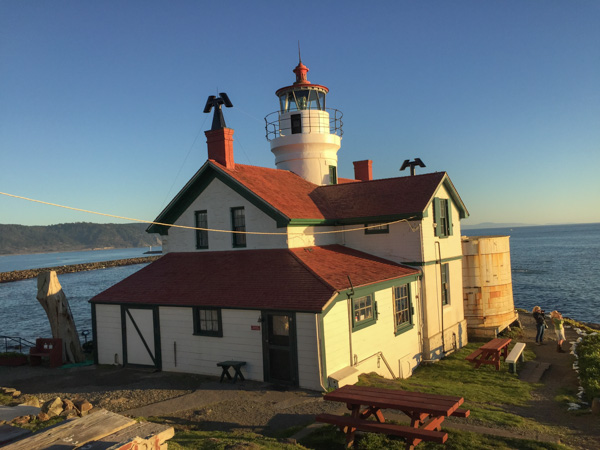
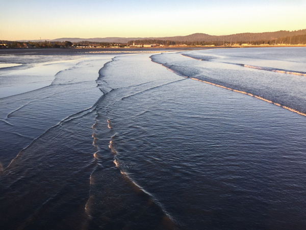 We walked along the breakwater (seen in the lighthouse photo) and then out on a pier. This is a view looking back toward Crescent City.
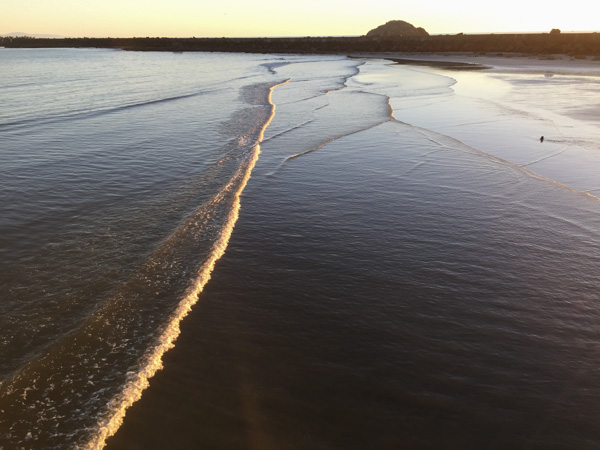 This is the view looking back toward the breakwater and the setting sun.
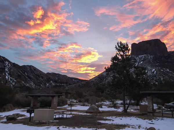 Sunrise from the campsite in the morning. I wouldn't have seen that from a motel room.
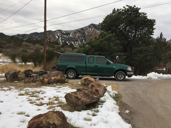 We spent the night in the back of the truck. Notice Matt's cot and sleeping bag. Fortunately no one was bothered by bears.
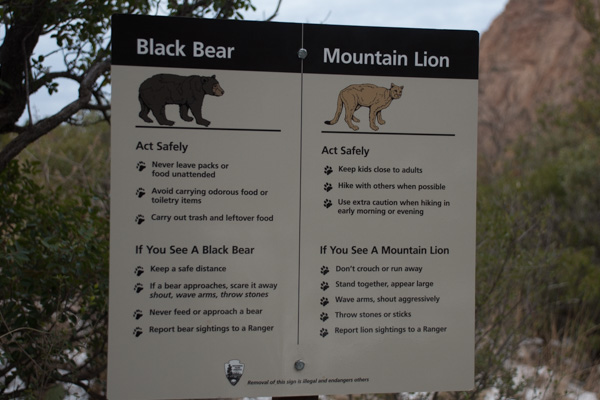 ...although we saw this sign at the trailhead right near our camp.
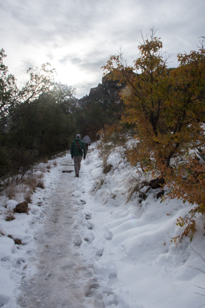 We left camp early and went for a hike up the Lost Mine Trail. I was glad that I had a walking stick with me because much of the trail was icy and slippery.
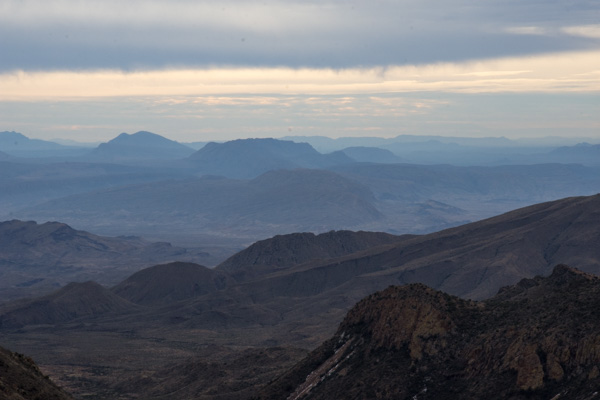
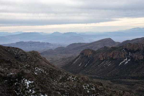 This is the view to the south from where we were standing in the last photo. The southern border of the park is the Rio Grande but I'm not sure which of these mountain ridges border the river.
 We had only a day and a half to spend in this area so we didn't plan to do any long hikes, but instead see as much of the Park as we could and get out where there were signs and shorter trails.
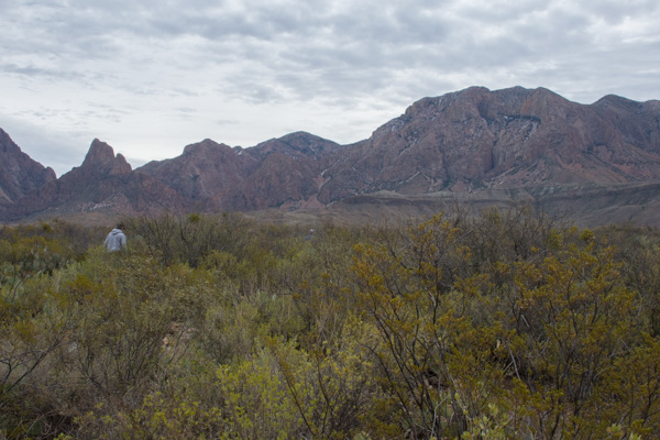 This stop was at the Sam Nail Ranch where there is a short trail to the remnants of an adobe dwelling built around 1909 when the Nail family lived here.
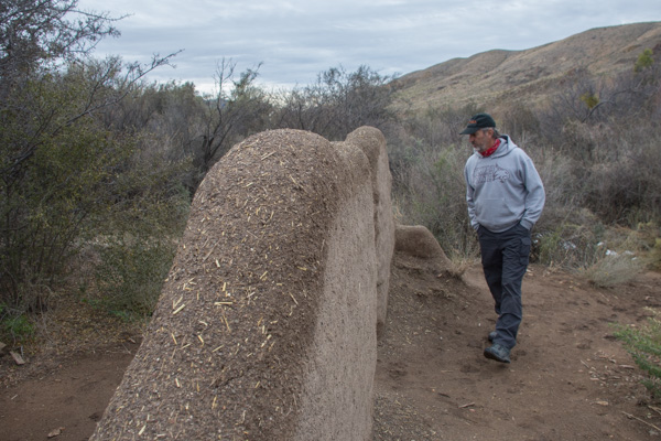 The family planted fruit trees and raised livestock, living here until the 1940's.


 "Matt, hold still."
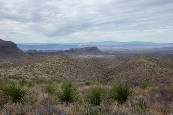 View from Sotol Vista. Do you see that slot in the middle ridge, just left of the photo's center? That is Santa Elena Canyon, about 12 miles southwest of this point, where the Rio Grande slices through the mountain, forming a narrow canyon with 1500' walls. That will be for the next post.
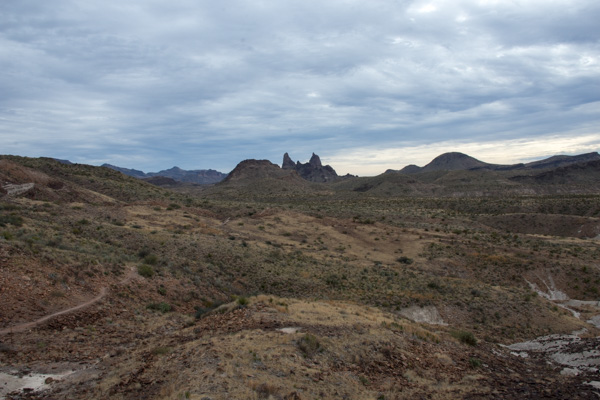 The Mule Ears View Point was the next stop.
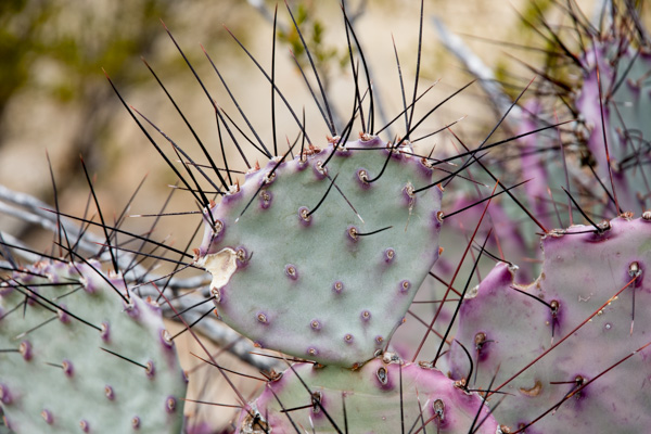 I didn't identify all the different kinds of cactus, but noticed some that were distinctly purple.
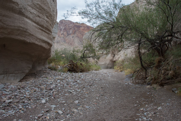 We walked into Tuff Canyon, so named for it's volcanic origins.
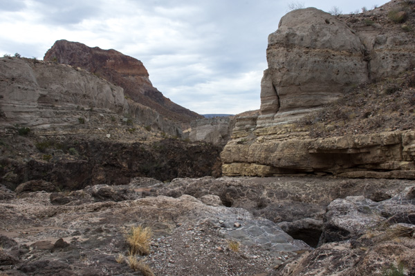 Spectacular!

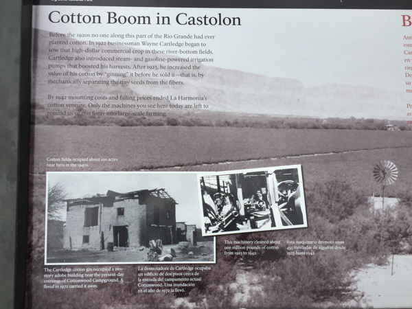 There were a lot of interpretive signs at this point. Castolon was first settled in 1901 and became a destination for refugees fleeing the Mexican Revolution. Barracks were built but never used by the army and in the 1920's the La Harmonia Company established a trading post and started growing and ginning cotton. That venture ended in the 1940's.
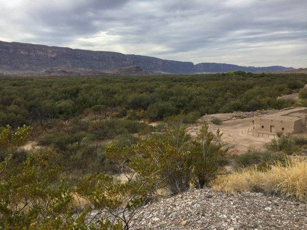 This is the modern day view of that same landscape.
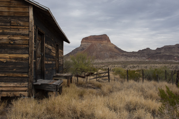 One of the old building that still remains at Castolon.
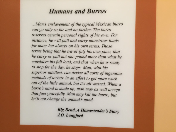 I think this statement is true.
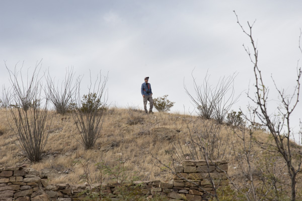 We stopped at the Dorgan House Trail, where there were more ruins.
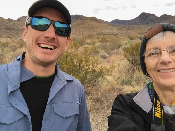
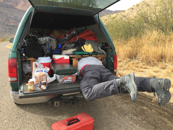 It felt like lunch time. Dan couldn't fit all the way in where he had stashed the box with my granola. Eventually I squeezed in there and he pulled me out by my feet because I was laughing too hard to get out myself.