...From the Redwood Forests...
/...This land was made for you and me... Thank goodness for the people who, decades ago, had the foresight to conserve and preserve some of the most spectacular (and vulnerable to human destruction) ecosystem you can imagine.
We had two days to spend in the old growth redwood forest along the northern California coast. 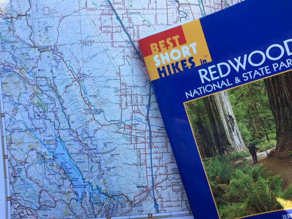 Mini Road Trip!
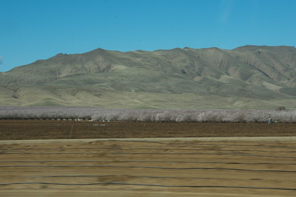 From the Central Valley you need to drive through the hills to the west. We turned onto Highway 20 at Williams. You can see a slight tinge of green if you look hard but this time of year they should be emerald green. That green is the grass that began to grow after our early January rain. We have had negligible rainfall since and there has been no more growth. This is the time of year that ranchers in the non-irrigated hills count on abundant forage for livestock. Very scary to think of another year of drought to this degree.
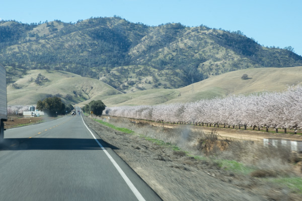 This is a view getting closer to the hills. The almond trees are beautiful this time of year but I am disturbed at how many acres of land all over California have been put into almonds now. That's a story for another time however. It seems I didn't take more photos until we got to our first stop.
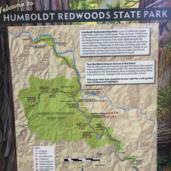 From the Humboldt Redwoods State Park website: "In the early 1900s, loggers came to what is now Humboldt Redwoods State Park to cut down lofty ancient redwoods for grape stakes and shingles. The founders of Save the Redwoods League thought that was akin to 'chopping up a grandfather clock for kindling.' From the acquisition of a single grove in 1921, the League has raised millions of dollars to build and expand this park. Today Humboldt Redwoods spans 53,000 acres, an area almost twice the size of San Francisco. About one third, or 17,000 acres, of the park is old-growth redwood forest—the largest expanse of ancient redwoods left on the planet."
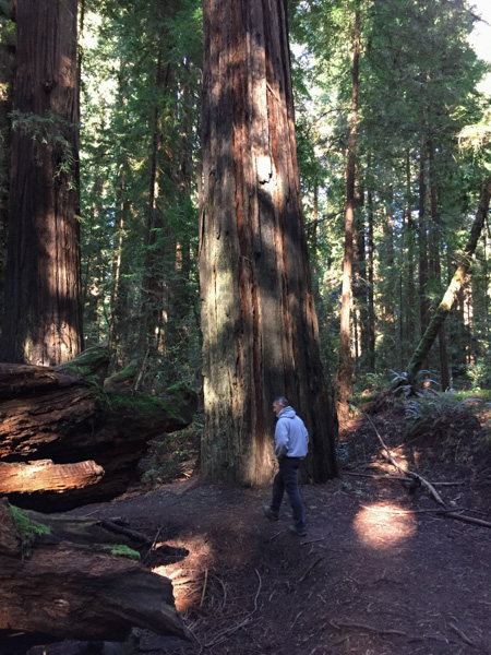 What is special about an old-growth forest?
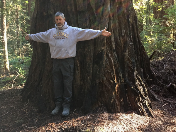 The size of the trees.
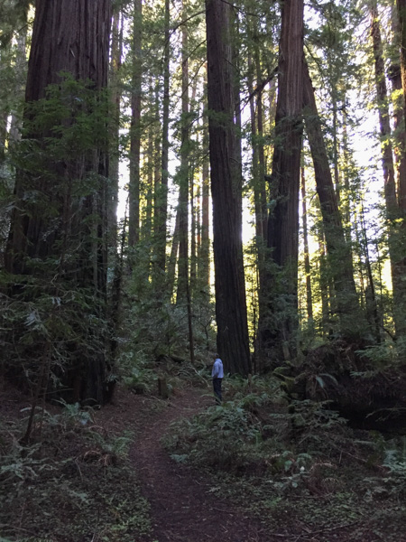 The mix of tree sizes. Unlike a reforested clear cut, there are trees of all ages and sizes and this makes for an open forest instead of a monoculture of trees and brush that you can hardly walk through.
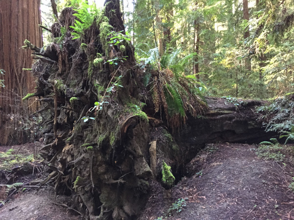 The ecology. When old trees fall they open up space for light to reach the forest floor and opportunity for new growth of other species.
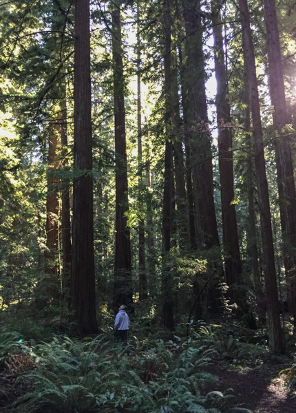 The grandeur.
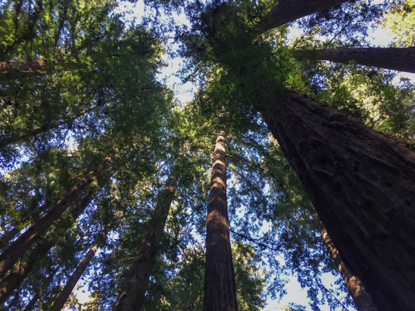
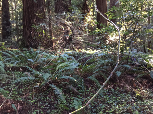
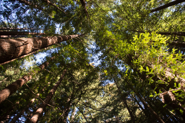 We drove through The Avenue of the Giants, stopping along the way to get out and walk on the trails.
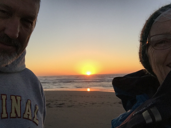 We ended the day at the beach.
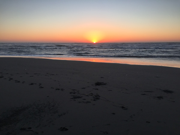
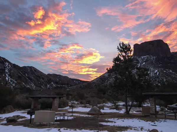 Sunrise from the campsite in the morning. I wouldn't have seen that from a motel room.
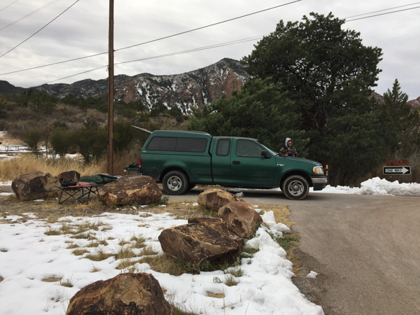 We spent the night in the back of the truck. Notice Matt's cot and sleeping bag. Fortunately no one was bothered by bears.
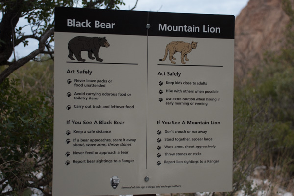 ...although we saw this sign at the trailhead right near our camp.
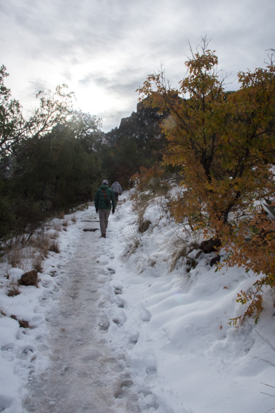 We left camp early and went for a hike up the Lost Mine Trail. I was glad that I had a walking stick with me because much of the trail was icy and slippery.
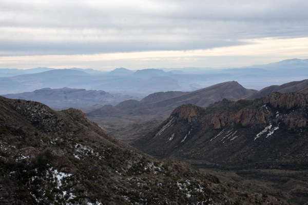 This is the view to the south from where we were standing in the last photo. The southern border of the park is the Rio Grande but I'm not sure which of these mountain ridges border the river.
 We had only a day and a half to spend in this area so we didn't plan to do any long hikes, but instead see as much of the Park as we could and get out where there were signs and shorter trails.
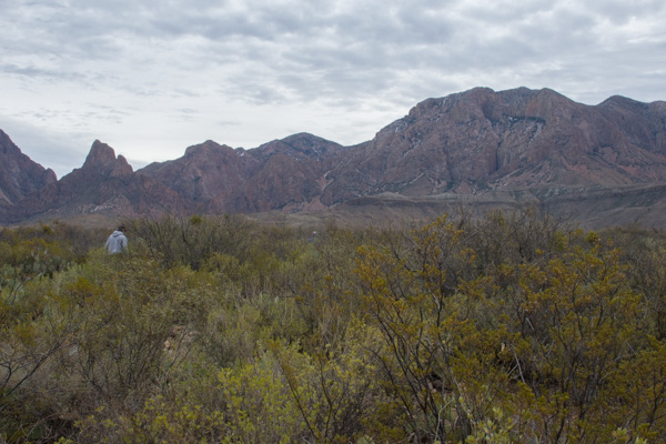 This stop was at the Sam Nail Ranch where there is a short trail to the remnants of an adobe dwelling built around 1909 when the Nail family lived here.
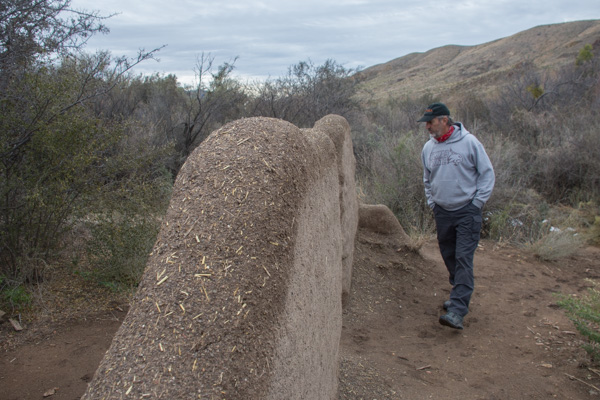 The family planted fruit trees and raised livestock, living here until the 1940's.


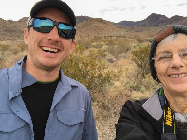 "Matt, hold still."
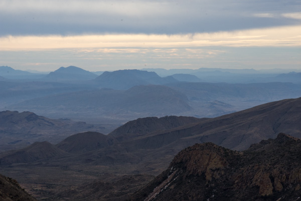
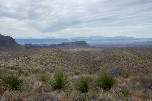 View from Sotol Vista. Do you see that slot in the middle ridge, just left of the photo's center? That is Santa Elena Canyon, about 12 miles southwest of this point, where the Rio Grande slices through the mountain, forming a narrow canyon with 1500' walls. That will be for the next post.
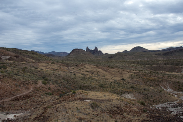 The Mule Ears View Point was the next stop.
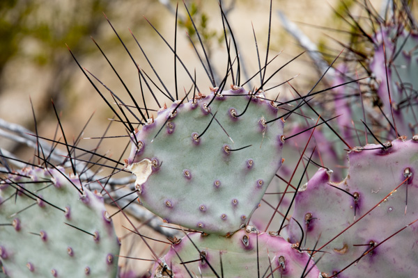 I didn't identify all the different kinds of cactus, but noticed some that were distinctly purple.
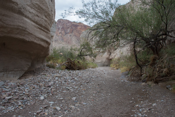 We walked into Tuff Canyon, so named for it's volcanic origins.
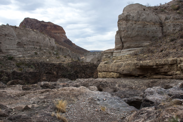 Spectacular!

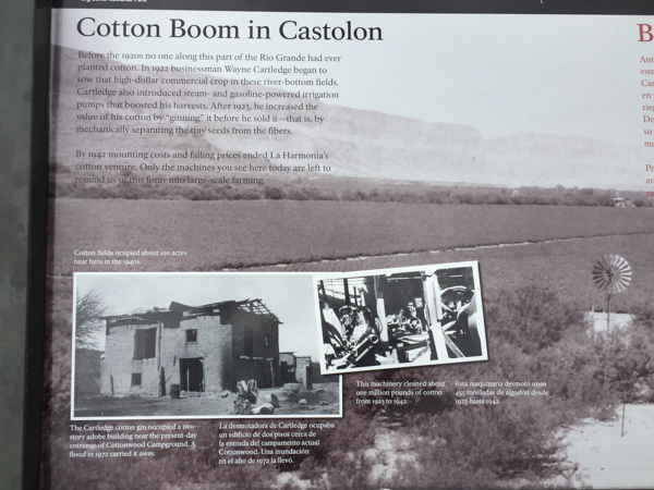 There were a lot of interpretive signs at this point. Castolon was first settled in 1901 and became a destination for refugees fleeing the Mexican Revolution. Barracks were built but never used by the army and in the 1920's the La Harmonia Company established a trading post and started growing and ginning cotton. That venture ended in the 1940's.
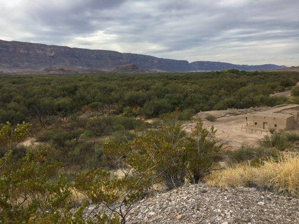 This is the modern day view of that same landscape.
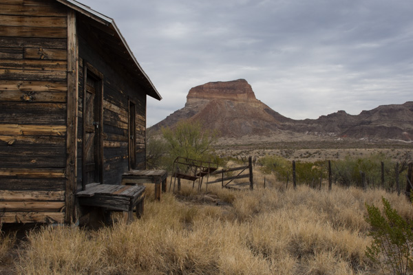 One of the old building that still remains at Castolon.
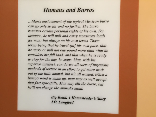 I think this statement is true.
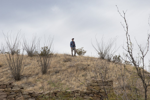 We stopped at the Dorgan House Trail, where there were more ruins.
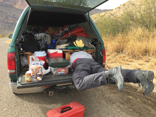 It felt like lunch time. Dan couldn't fit all the way in where he had stashed the box with my granola. Eventually I squeezed in there and he pulled me out by my feet because I was laughing too hard to get out myself.