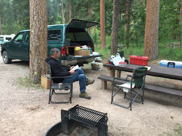
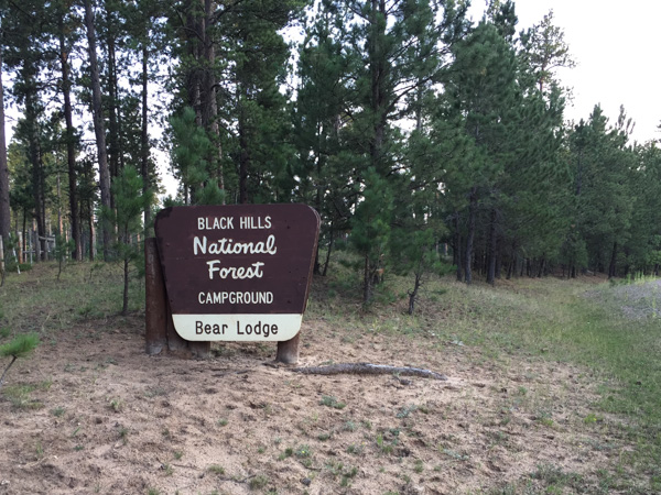
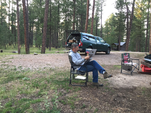
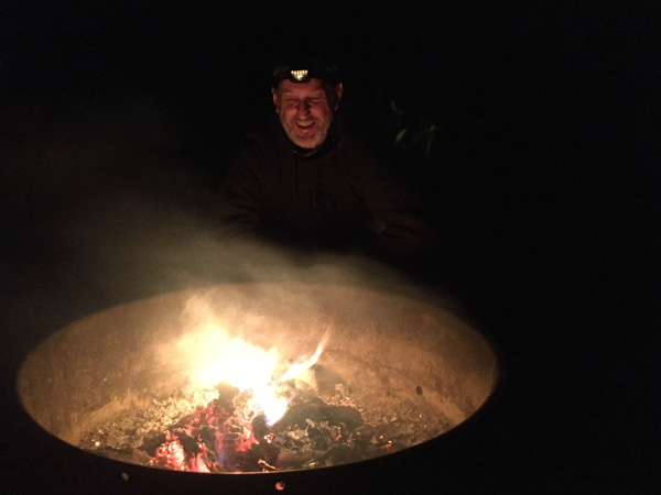
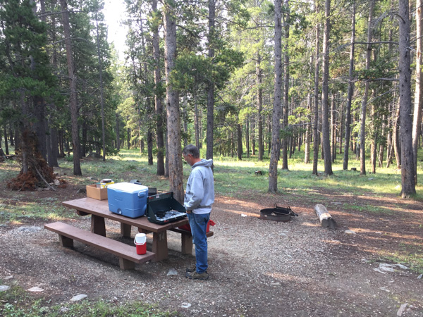
We started Day 4 of our adventure after a restful night in the Black Hills National Forest in Wyoming. (Here is the campsite in Day 3.) I was up before Dan and walked off with my camera. Wildlife!
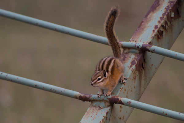
So what if it's just chipmunks! They were close enough for me to get decent photos.
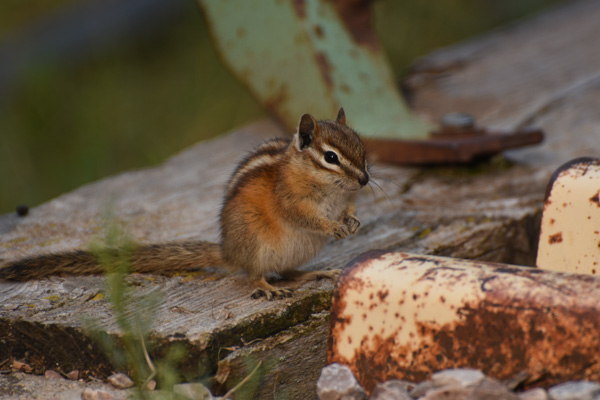
And they were fun to watch as they ran in one side of the cattle guard rail and out the other.
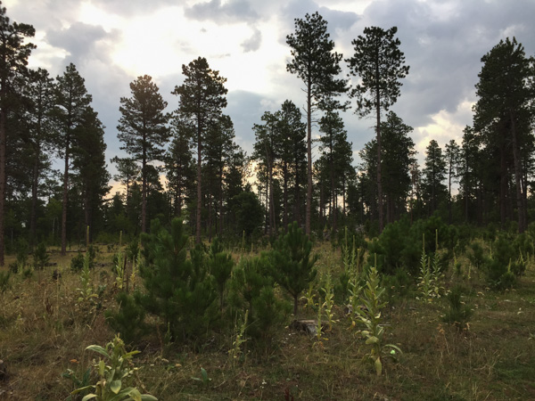
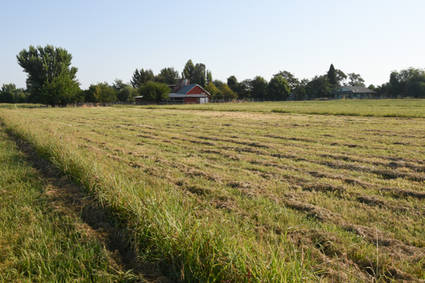
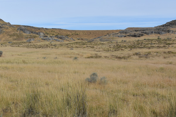
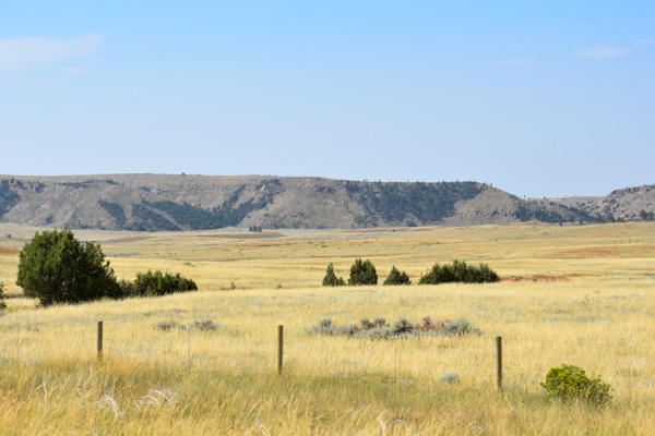
This is a view of some of the forest outside the campground.
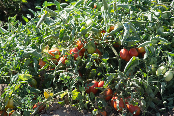
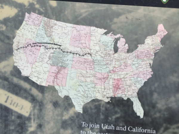
We got on the road and looked at where to go. Now I'll tell you why I had originally chosen South Dakota as our destination for this year's trip. Months ago I was reading a sheep magazine and saw a reference to a Sheep History exhibit in South Dakota. I looked it up and it was in an Ag Heritage Museum in Brooking, SD. There was a lot to see along the way so I suggested that as our turn-around point. However, Brooking is on the far eastern side of SD. After the first two days of driving and looking at all the things we wanted to see where we were now and our limited time I pulled the plug on driving clear across the state to see that one place. It seemed kind of silly to add another two days of driving to the trip just for a few hours in a museum (or to not add two days and be driving for that long a stretch).
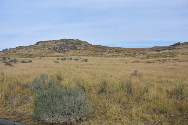
So, back to the map. There was plenty to see in western SD: Mt. Rushmore NM, Jewel Cave NM, Wind Cave NP, Buffalo Gap National Grassland, Badlands NP. Dan still wanted to avoid Sturgis with all the crazy motorcycle stuff. So we looked for a road around it. I saw on the map "Geographical Center of the United State". Really? I looked at the U.S. map. That didn't look right. I googled it.
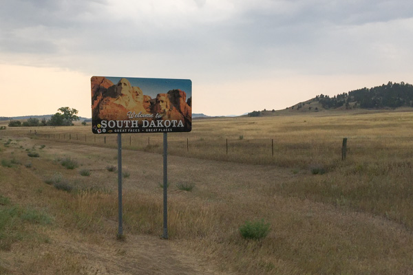
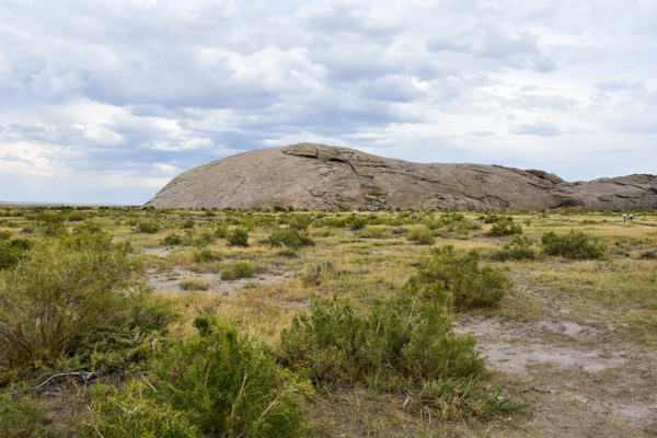
If you include Alaska and Hawaii, yes, there is a place, not too far over the border of SD, that is the Geographical Center of the U.S.
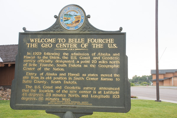
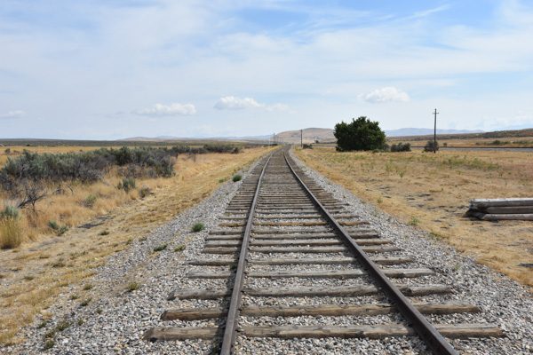
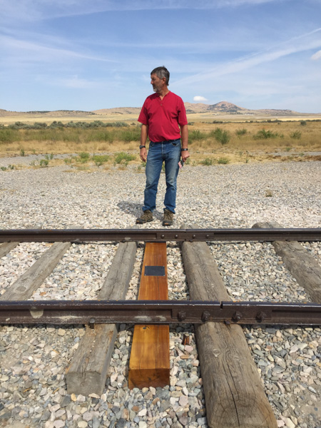
It turns out that the real center is in a privately owned pasture 20 miles north of the town of Belle Fourche.
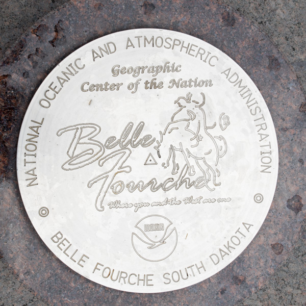
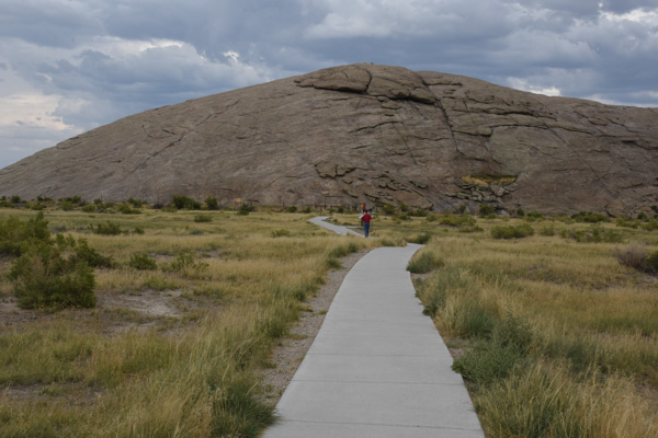
The town decided that there should be a more memorable and accessible monument for something as cool as being the Georaphical Center of the U.S. ...
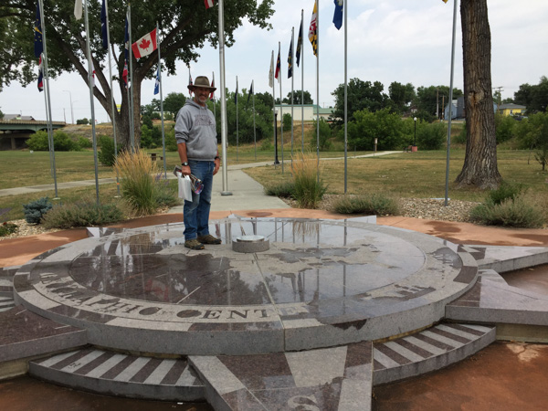
...so this was created in 2008. It is at the Belle Fourche Visitor Center and Museum.
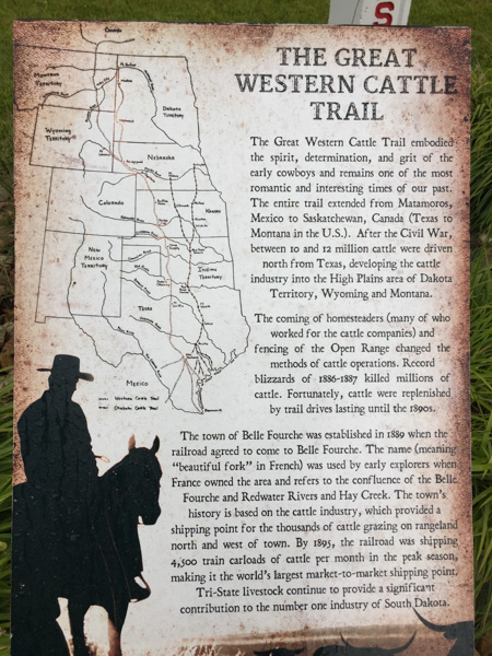
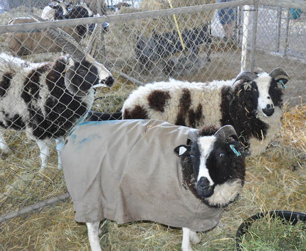
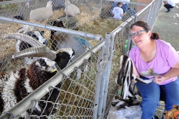
The museum turned out to be very interesting (and maybe a smaller scale of the one that we were going to miss in Brooking) and we spent some time there. There were exhibits about the cattle drives from Mexico to Canada, the importance of the railroad station in Belle Fourche (4500 train carloads of cattle per month in 1895), the Old West in movies and TV, early settlers, rodeo history, wartime, and old-time bad guys. There was also an exhibit about the importance of the sheep industry in South Dakota. 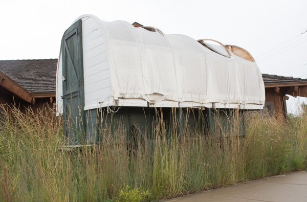
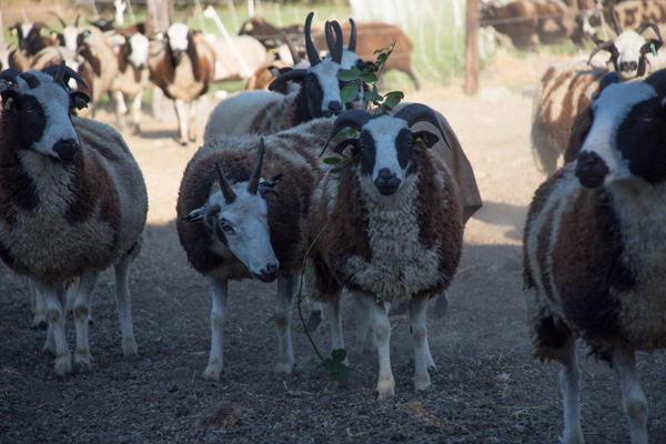
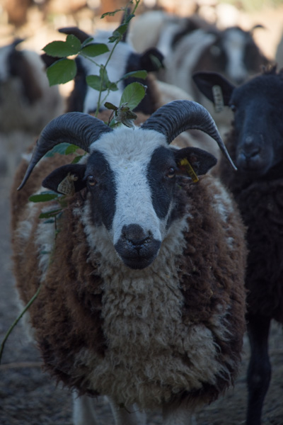
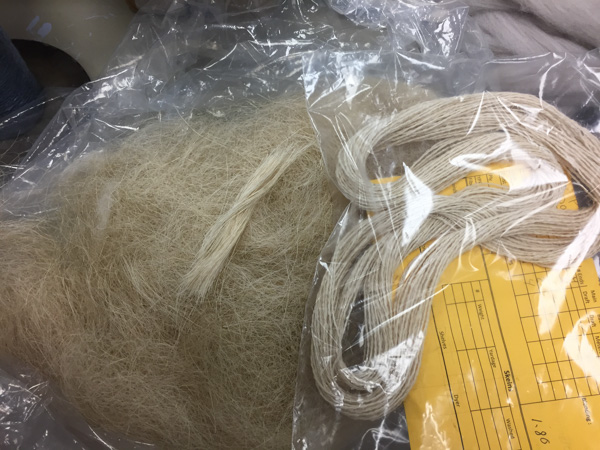
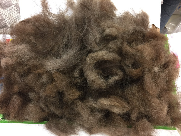
This is a sheepherder wagon that is outside the museum. There were a lot of photos of the sheep history of the area.
South Dakota is currently fifth in the U.S. for sheep production...
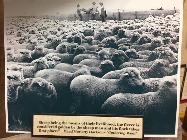
...and the sheep industry is an important part of South Dakota's agricultural economy.
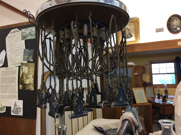
This isn't a very big museum but there was a lot to see in the small spaces. In the area that showed something about life in "the old days" there was this device used to do something to women's hair. An early perm?
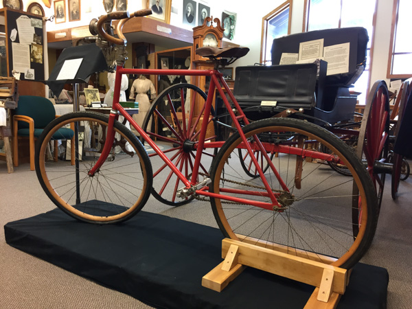
it's kind of hard to see this bicycle but I thought it was interesting in that the handlebars, seat, and wheel rims are made of wood.
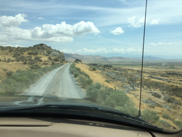
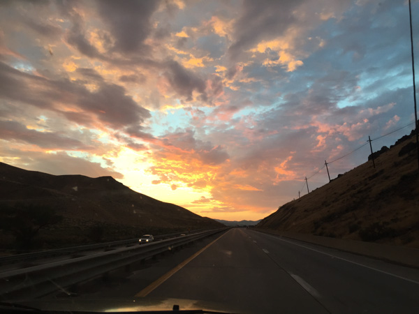
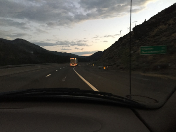
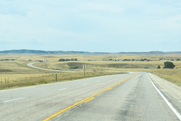
After a few hours we decided that we'd better get on the road again. This is a view before we left town.
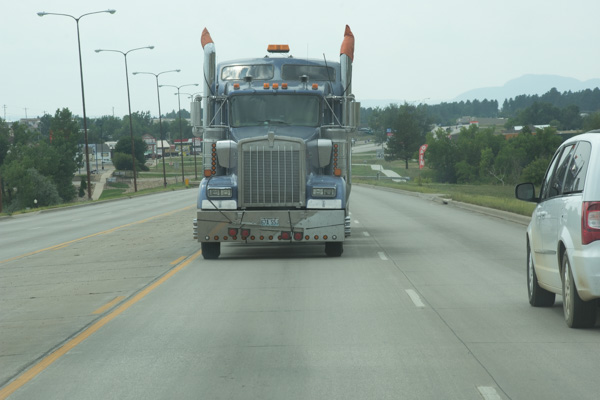
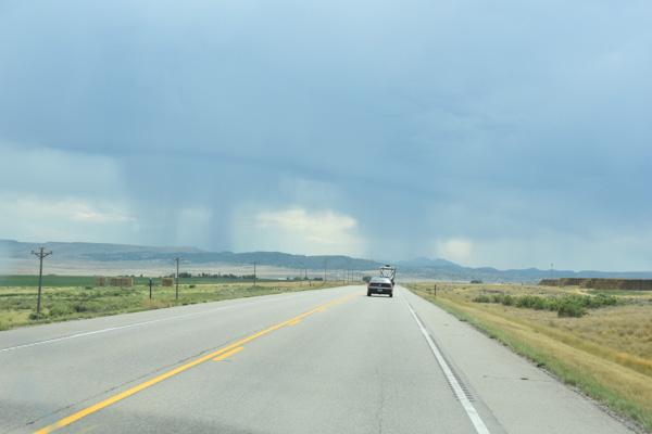
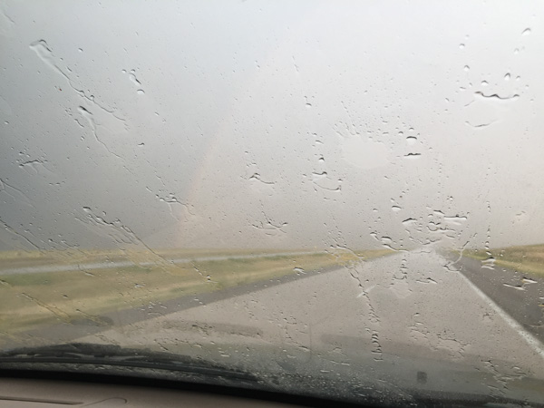
What do you think of this one? It was kind of scary to have this view on the highway but that truck was going the same direction that were are because it was being towed behind another.
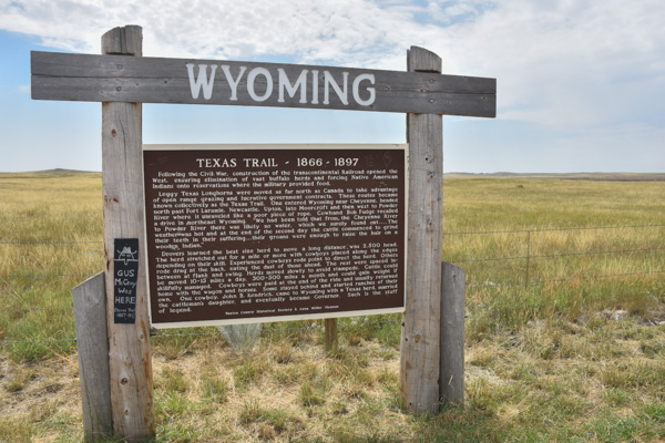
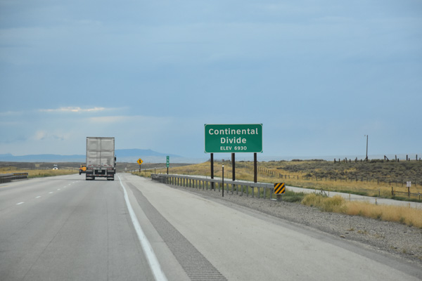
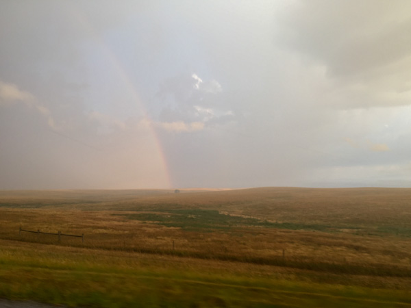
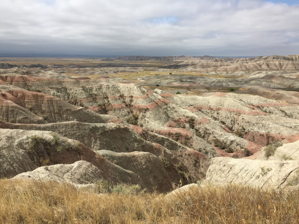
South Dakota was not what I expected.
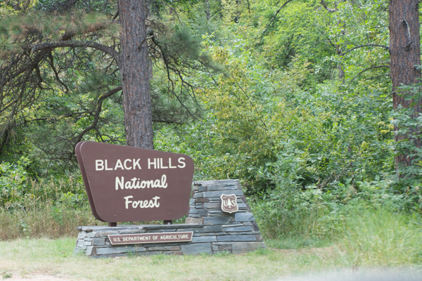
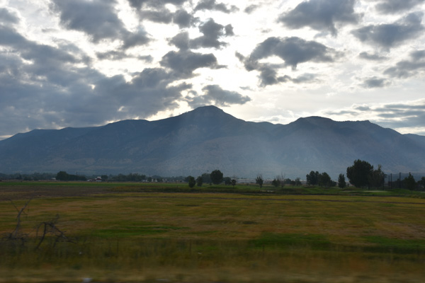
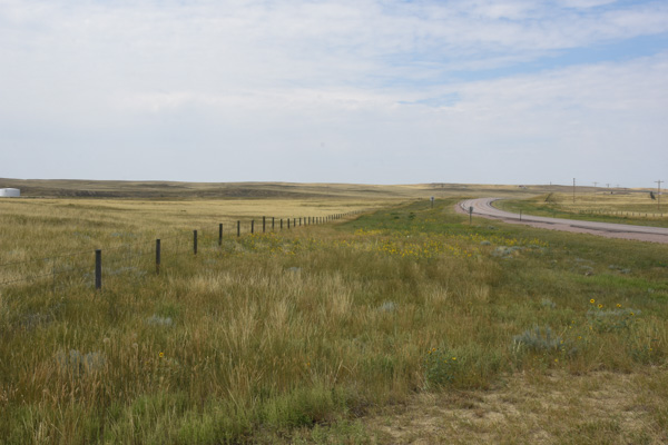
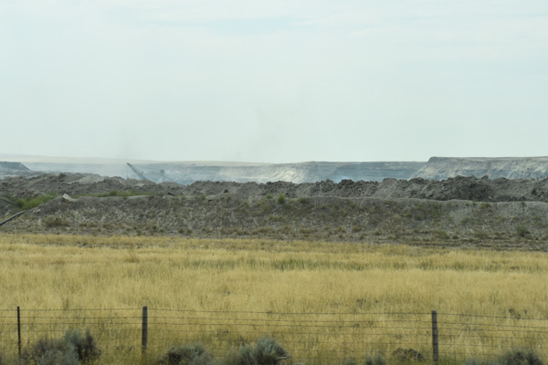
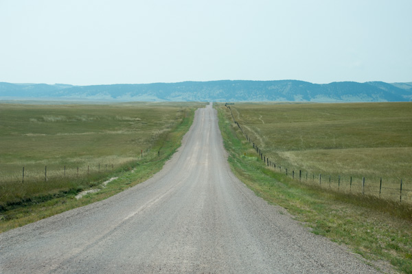
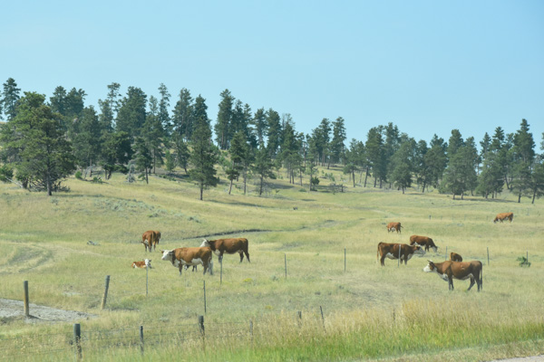
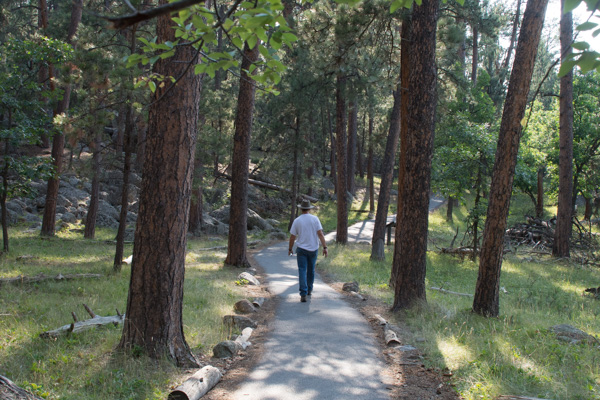
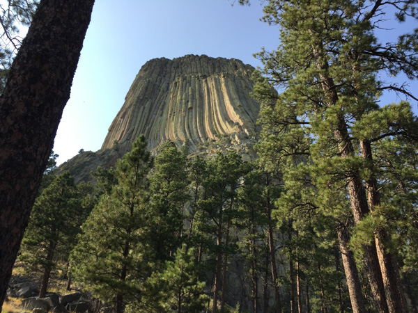
We had camped in the Black Hills National Forest in Wyoming but it continues in South Dakota.
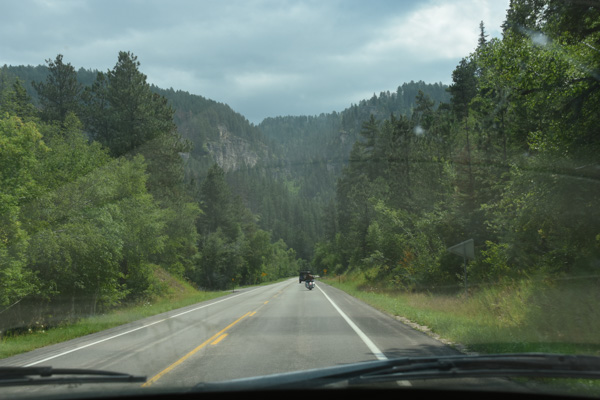
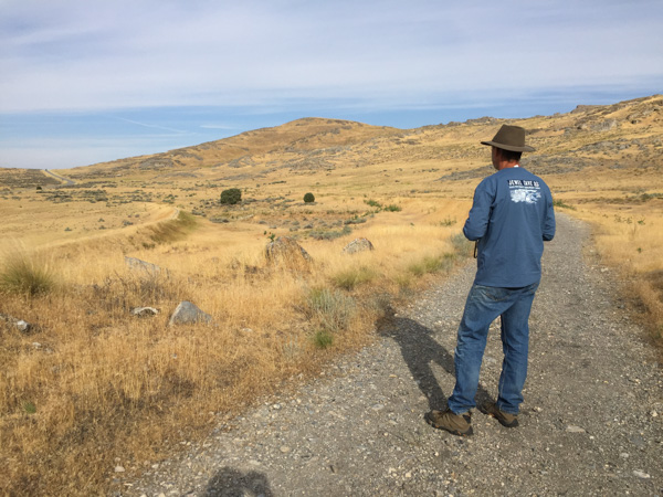
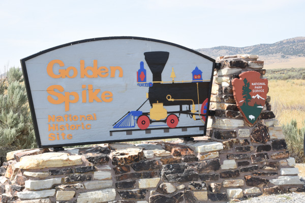
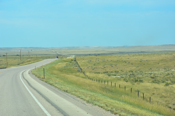
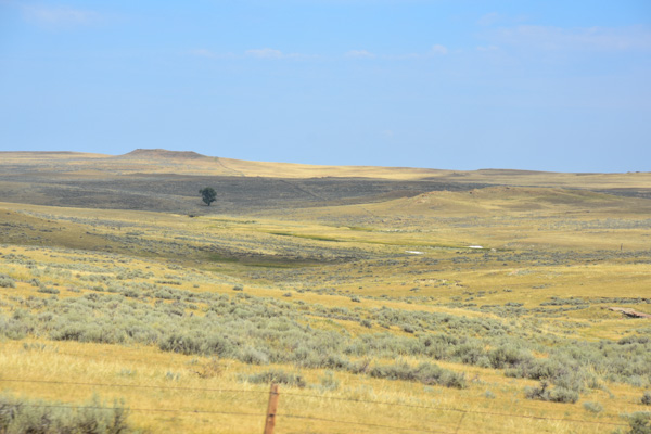
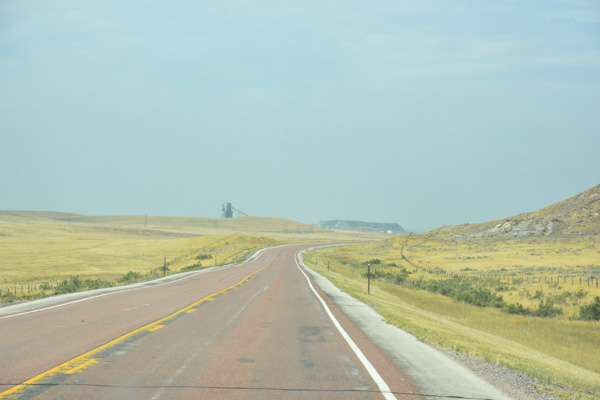
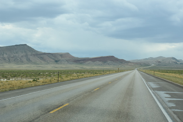
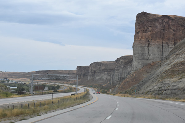
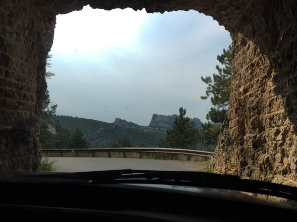
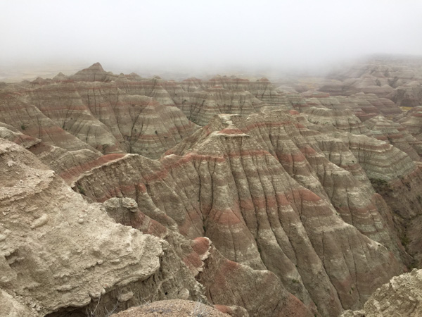
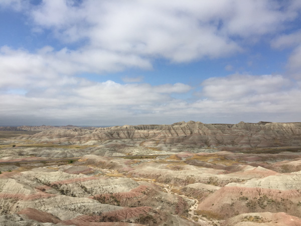
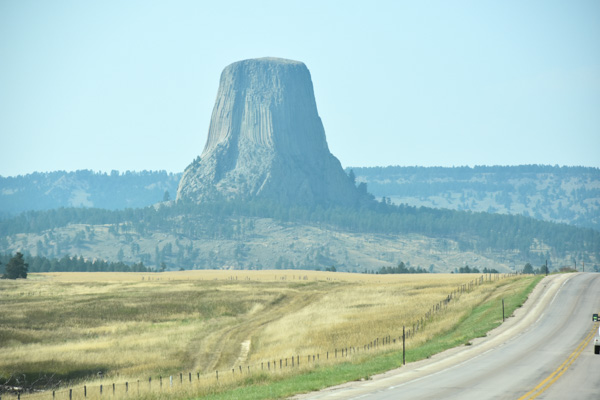
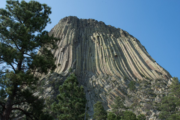
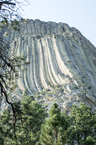
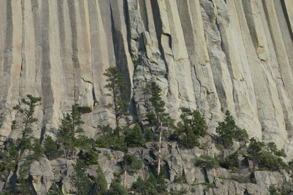
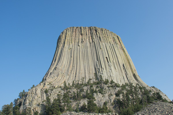
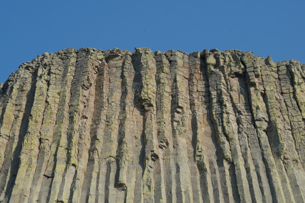
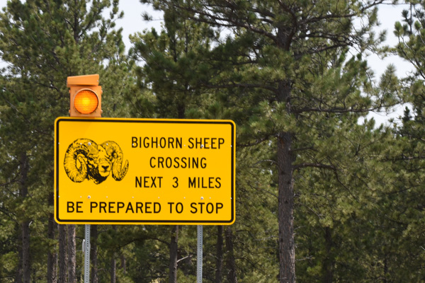
We were headed now to Jewel Cave National Monument and took a road designated a "scenic drive" and it was. Beautiful country. This is an area known as Spearfish Canyon.
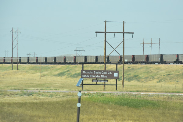
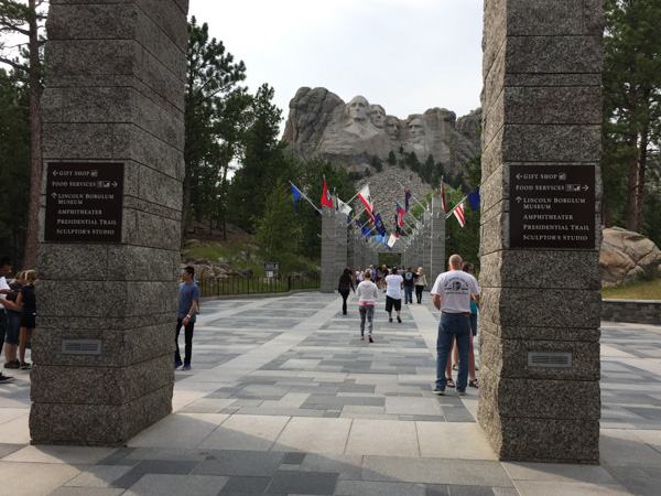
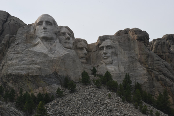
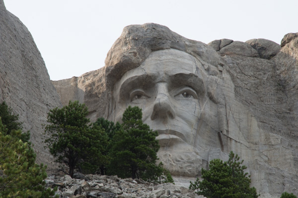
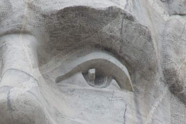
This National Monument as well as many of the others we planned to visit are all within this area of the Black Hills National Forest.
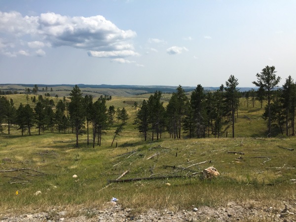
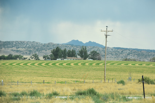
I continued to find the scenery breathtaking. Too bad the drive-by photos can't really show that.
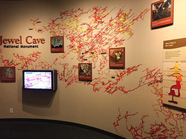
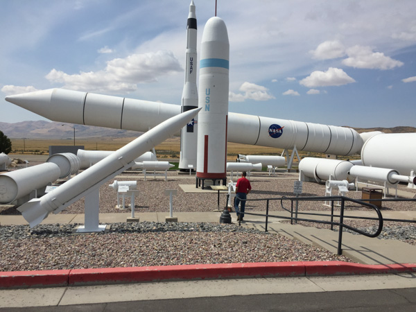
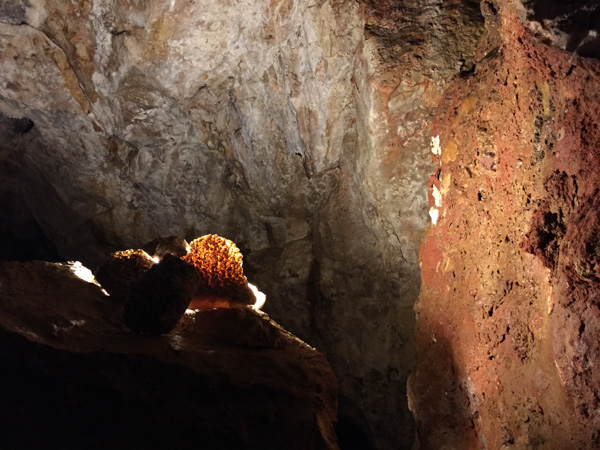
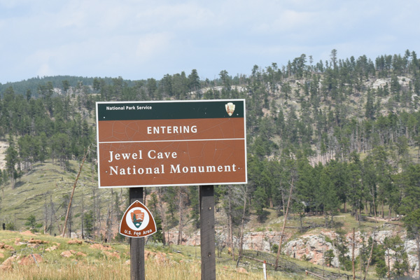
We signed up for a cave tour but had some time in the Vistor's Center first. Jewel Cave was discovered by two prospectors in 1900. Only a mile of it had been documented when it was made a National Monument in 1908. Now it is known to be the third longest cave in the world with over 180 miles of passages that have been mapped and more that have not. The cave extends beneath about four square miles of land but there is only one known entrance. The areas in yellow are closest to the surface and the redder the color, the deeper the passage. The deepest point is 749 feet below ground.
Thirty of us gathered with our Ranger and rode an elevator down to a double set of doors that created an airlock when entering the cave. I am not a big fan of dank, underground place, preferring wide open spaces and sun. Nevertheless, this was a cool (no pun intended although it was sweatshirt weather below ground) tour.
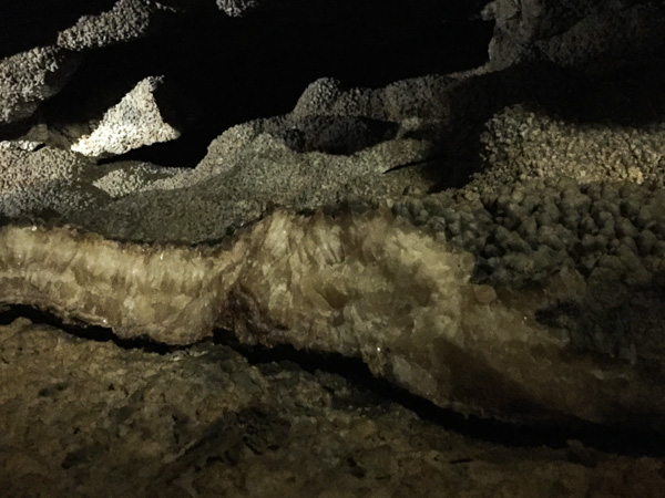
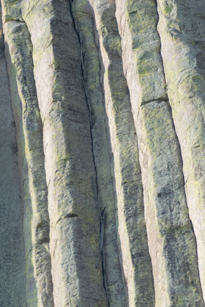
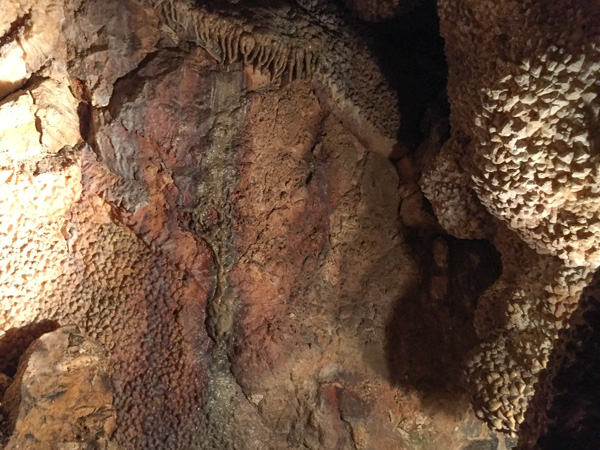
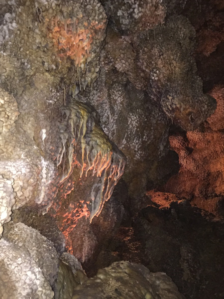
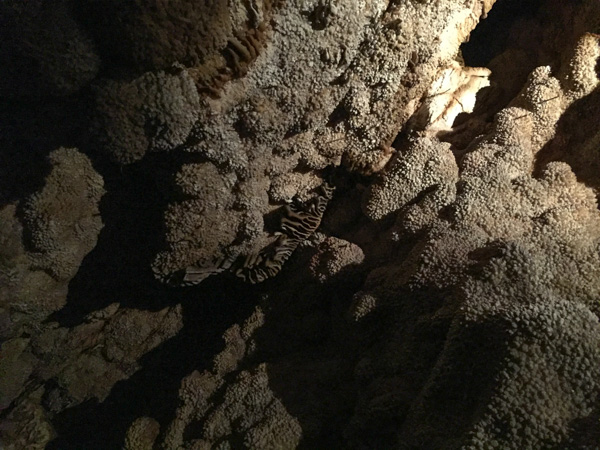
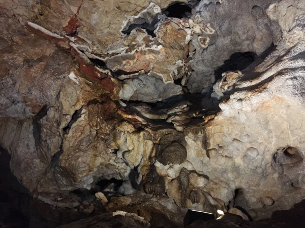
It was OK to take photos. I can't tell you what any of these formations are because (although once, for a very brief period, I thought I might be a geologist) I don't ever remember rocks and geologic time.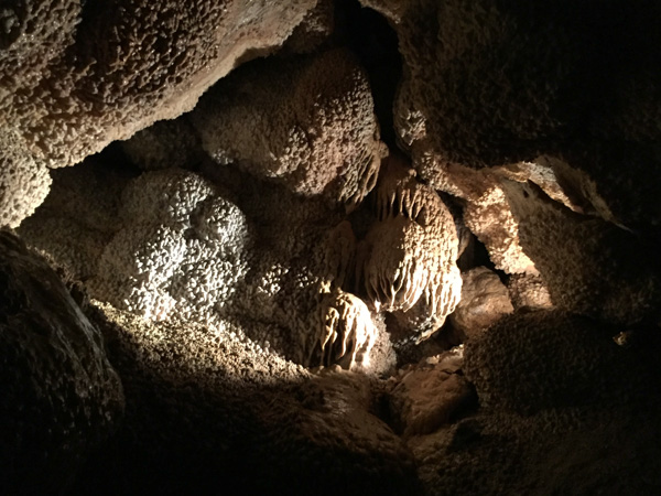
I can admire them however.
There were lights placed strategically along the mile-long tour route and lots of walkways and stairs.
At one point the Ranger turned off all lights and that is very eerie. I think of Tom Sawyer and Becky in the cave and running out of candles. Yes, I prefer wide-open spaces and sunlight. (By the way, no photos of lights-out in the cave.)
This one reminds me of an ocean scene.
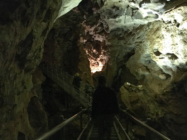
Here is an example of the one of the walkways. The tour was about an hour. After that I bought my patch at the gift store and we spent a little more time in the Visitor Center.
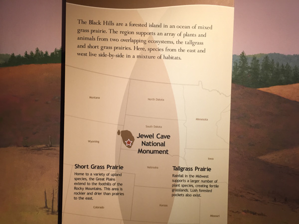
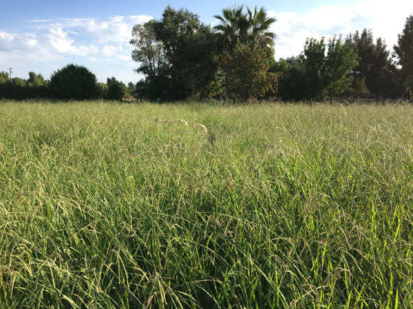
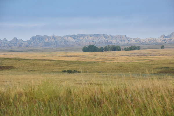
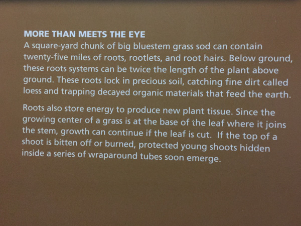
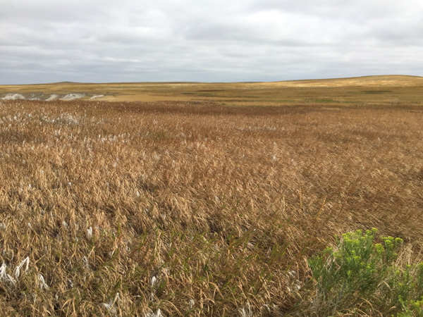
We read about the ecosystems we were traveling through. I have lived most of my life in California, have traveled in many of the western states, including the desert southwest (where I lived for a couple of years) but have never been in the prairie. This sign and others explained a bit about the difference between the Short Grass Prairie and the Tallgrass Prairie, where we'd be traveling next. The Black Hills are in between.
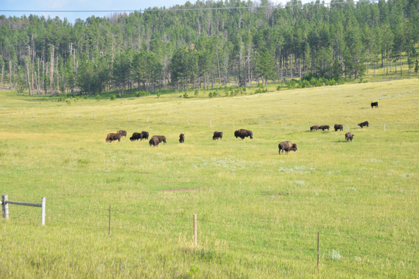
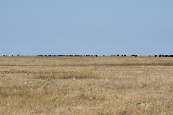
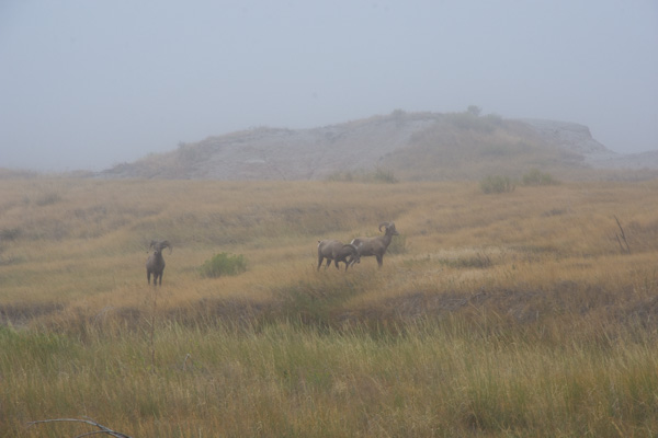
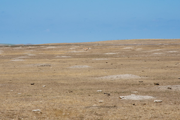
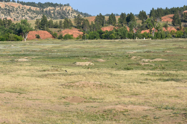
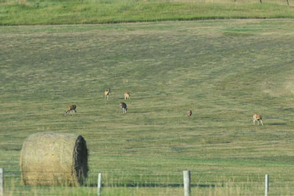
Bison grazing.
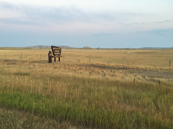
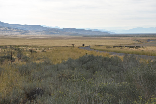
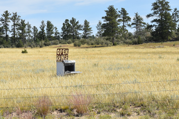
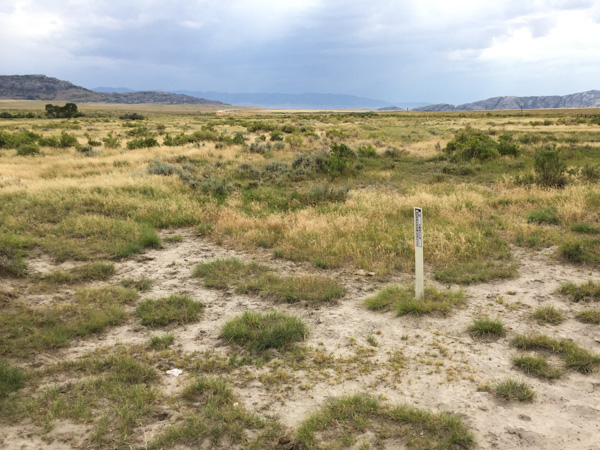
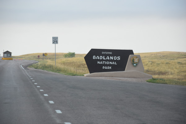
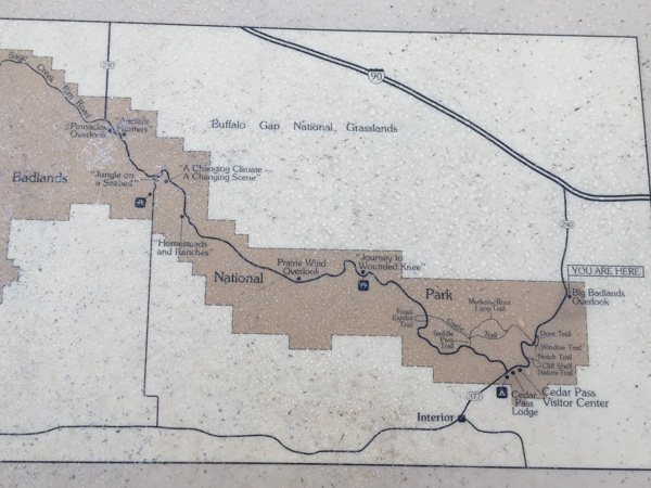
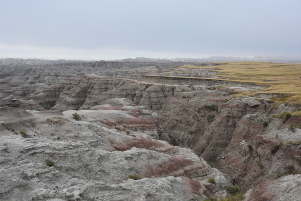
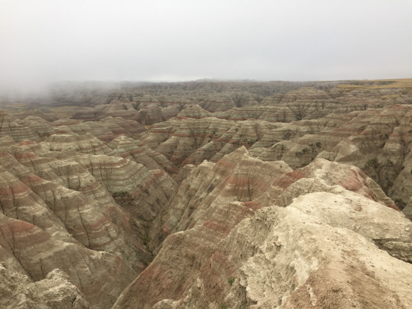
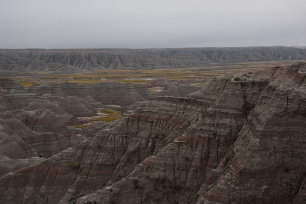
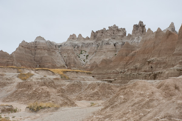
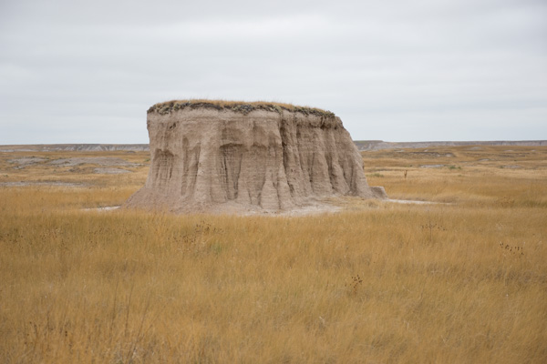
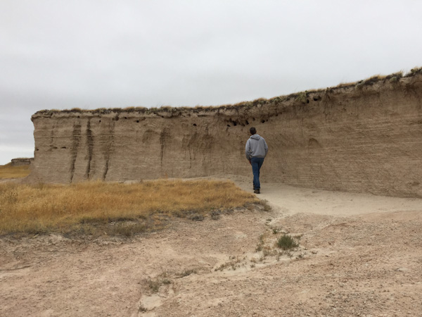
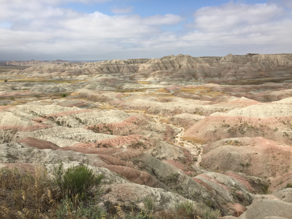
We planned to visit Badlands National Park the next day. We knew that it might be tough to find a camping spot on a weekend without a reservation in the National Park but we thought that we'd be able to find a place to pull over and sleep somewhere in the National Grassland that surrounds the Park. We had been told by a couple of people that (as we know is true in the National Forest) if it's public land you can stay there. This sign indicated that we were in Buffalo Gap National Grasslands...
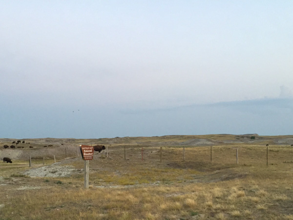
...complete with buffalo.
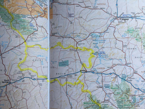
My big mistake was not getting the map book for South Dakota before we left. I realized too late that we didn't have it and thought that we might be able to find one on our trip. Since neither of us like to spend time driving through cities even if its to a bookstore, we never got one, and instead had to rely on a road map of the state. That was totally inadequate for the way we are used to traveling. We couldn't tell where there was private land and public land and we had no idea where the little dirt roads went. Later I saw a map that would have been even better than the map book for our purposes. There is a map available of the Grassland that shows land ownership. No wonder we couldn't figure it out--it's all a big checkerboard of private and public land. We'll know for next time.
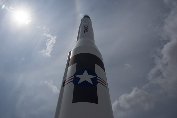
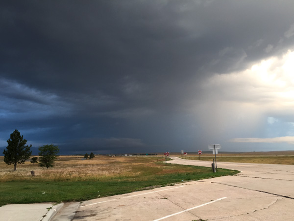
So we drove through the Grassland as it was becoming dusk. We couldn't identify anywhere that looked like we could stay. It is after all, grass, and all fenced. We're used to driving through the forest or even the desert and being able to drive off on a dirt road away from the main road and camp. Eventually it got dark and we continued driving into the Badlands NP. As we thought the campground was full. We continued on, entering the Grassland again. We pulled off on one possible road that was clearly marked as a trailhead on public land. But law-abiding citizens that we are, we left when we saw the sign that said "No Overnight Camping". I was feeling less law-abiding than Dan, but I was not the driver. We tried another road that was still part of the Grassland and passed another place, Minuteman Missile National Historic Site, that would be interesting to visit in daylight hours. This gravel road was on our map and continued for a few miles. However, every time we turned on what looked like a possible side road, there was a gate, or an obviously cultivated field. We finally went back to the highway and drove east.
You might be wondering, why don't they just get a motel room? The first answer is that there were none around. However, eventually we got to the highway, and, yes there would be motel rooms. But, this was a camping trip and we had comfy sleeping bags and I had a sheepskin to sleep on and we could sleep in our truck. All we needed was a place to park. We saw a rest area on the map so we went there.
To Be Continued.
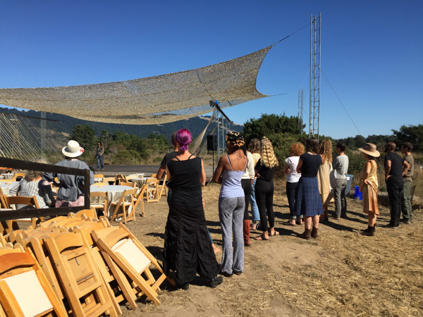
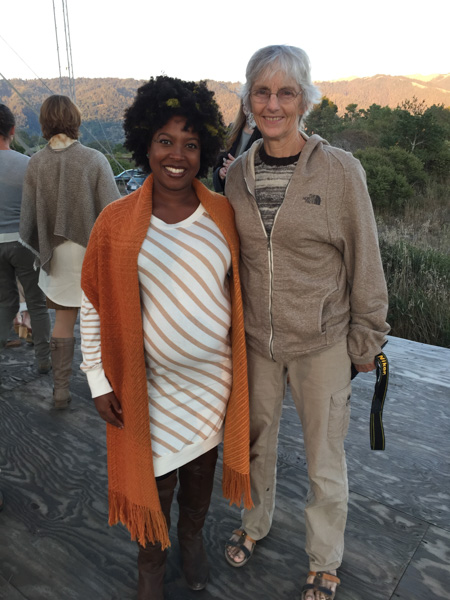
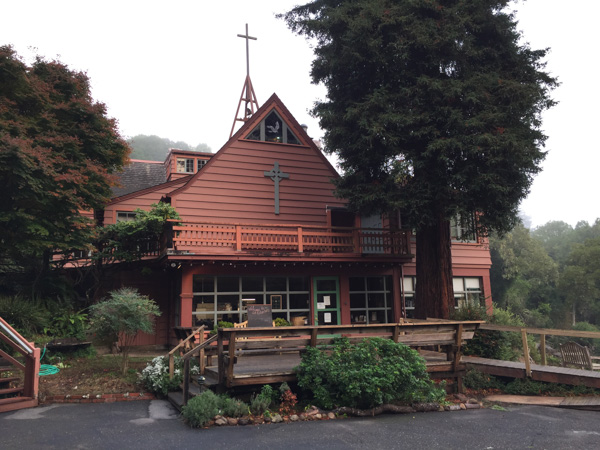
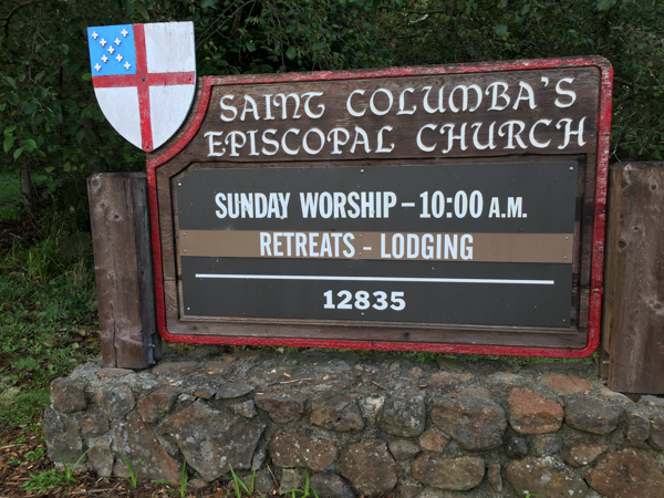 This local church was booked for any of the Fibershed group who wanted to spend the night after the long day at the Symposium.
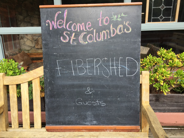
 It is a great place to stay for anyone traveling in that area.
 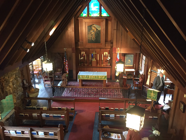 This was originally a house that was purchased from the Frick family in 1950 and turned into a church. There is a fascinating multi-level maze of rooms and halls and stairways. This view looks down from the third floor on what was originally the family's living room.
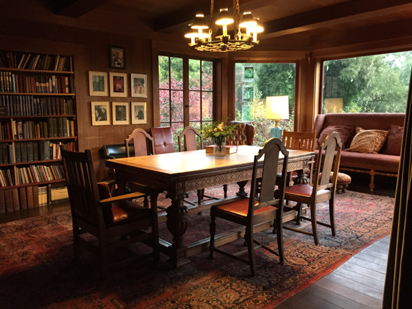 I love this dining area, partly because the table is of the same era (at least from looking at some of it's features) as the table that my mom bought and we still use, although this one is in much better shape than ours.
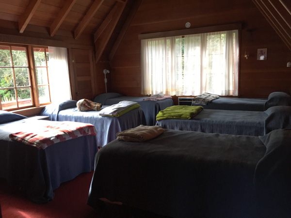 I stayed in this bedroom with five other women. There are several bedrooms with different numbers of beds. I think the place can accommodate 36 people.
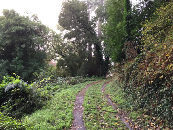 When I got up on Sunday morning I decided to take a walk before our meeting and headed up a road I found behind the church.
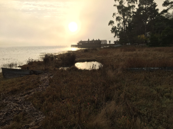
 This is my kind of Sunday morning.
 The road I found led me back down to the main road and Tomales Bay.
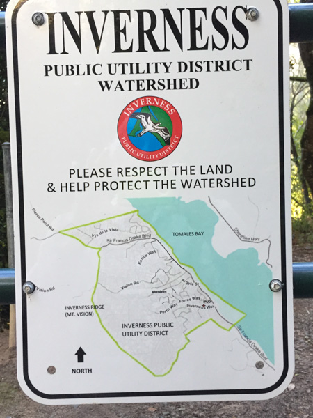 It is great when you find open space accessible to the public.
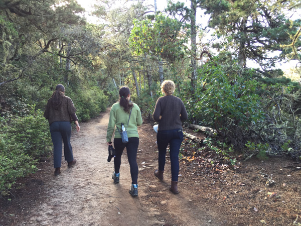
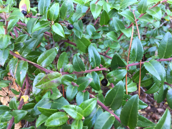 Rebecca pointed out huckleberries which were still on the bushes, although the normal harvest season was over. I wouldn't have known and would have avoided these unknown berries.
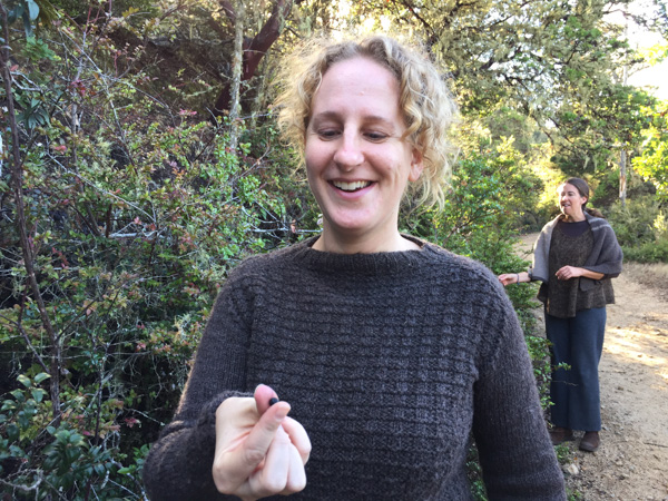 Stephanie (wearing her handknit Jacob sweater) ate her share as did the rest of us.
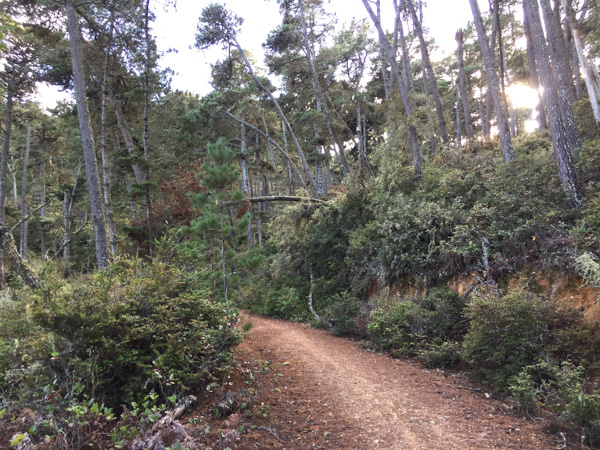
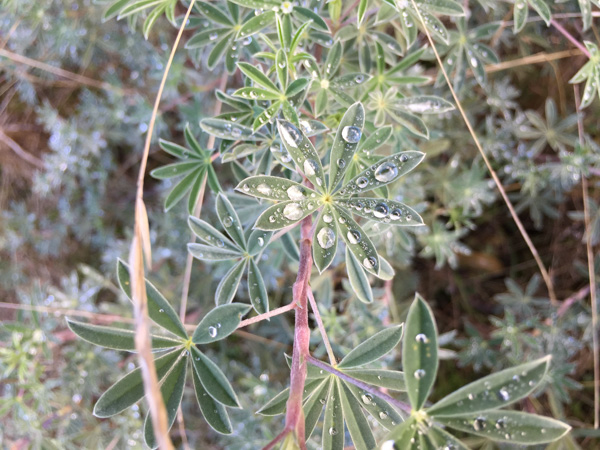 This is a much wetter area than where I usually find myself and there were still signs of the previous night's rain.
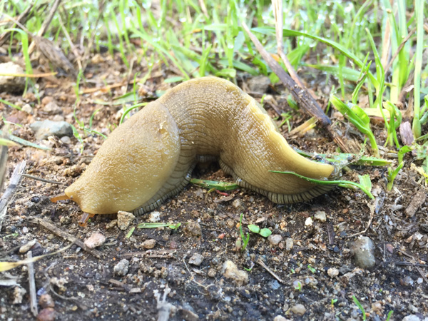 Another testament to the dampness were the large slugs that we saw.
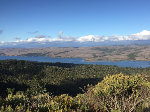 The view overlooking Tomales Bay. What a beautiful day we had!
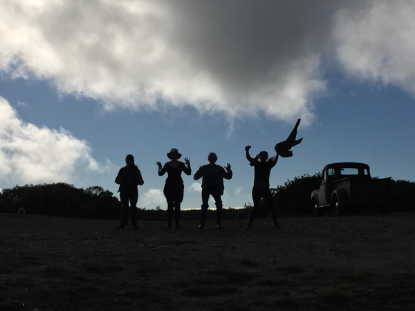
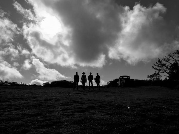 As we were coming back down from the ridge that has a view of the ocean, another hiker coming up the hill saw our silhouettes and offered to take our photo. This is the view that she saw.
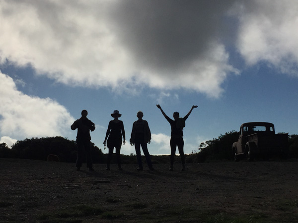
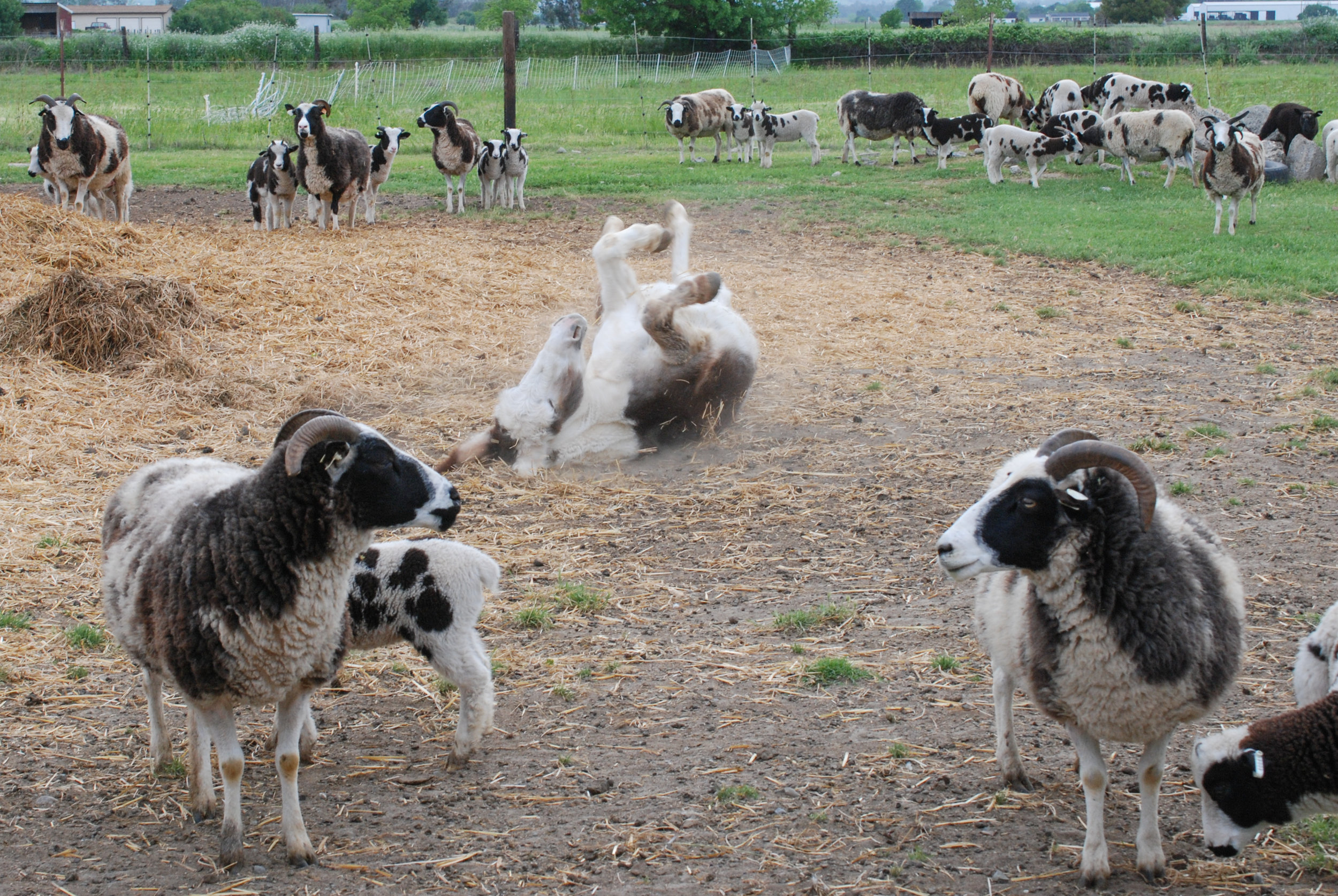
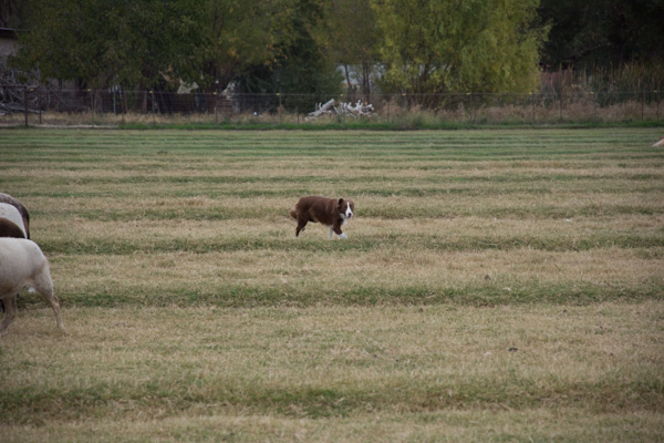 Sheepdog Debbie sent her out to gather up the sheep.
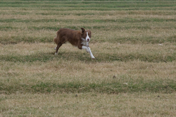 Debbie's sheep are pretty dog-broke because they are used to being moved by dogs.
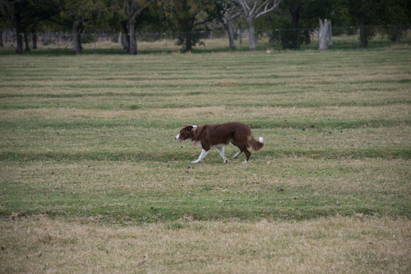 So for a Border Collie like Ginny (or me) it's not very hard to get them to move.
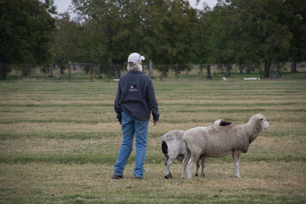 There were a couple who didn't want to play the game though.
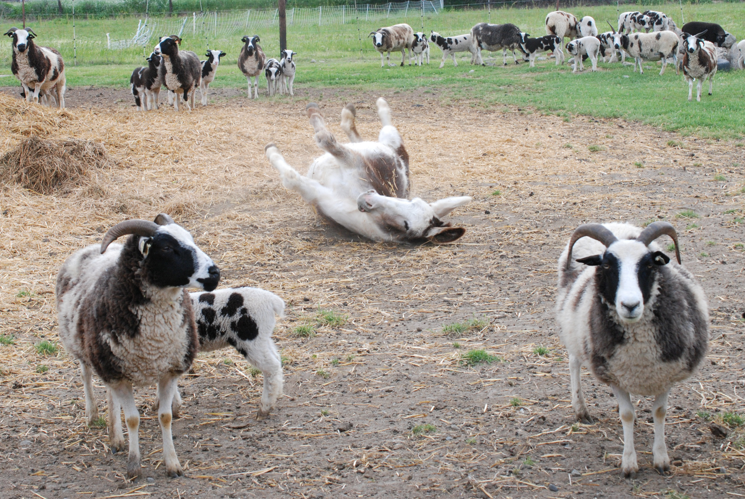
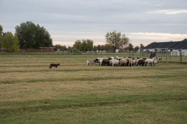 Ginny moved the sheep toward the gate...
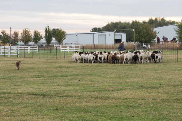 ...and held them there while Sheepdog Debbie sorted a few out into the other field.
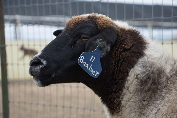 This is a pet sheep who is one of the ones who was standing near Debbie.
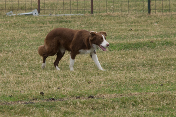 Ginny looks pretty good here.
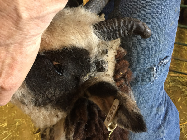
 I think that I should go back to Sheepdog Debbie's place and get to work with her sheep. They don't have those nasty horns like ours do.
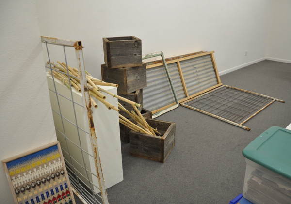
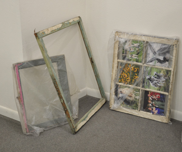
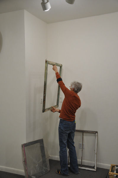
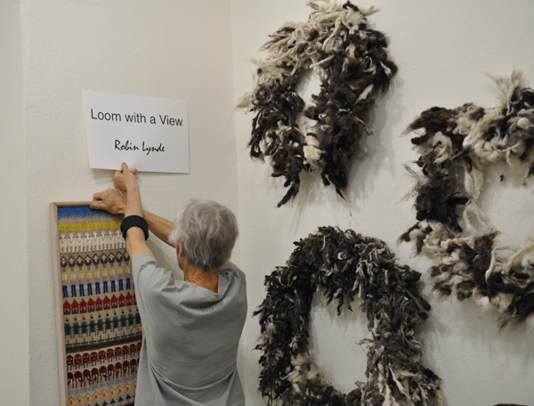
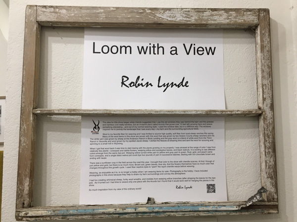 As I said in one of the previous posts this theme started with the idea of using the old windows that were around here. As you enter the gallery you see the title and the Artist's Statement. If you want to read that click here.
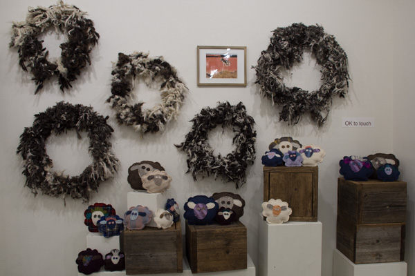 This is the wall to the right...
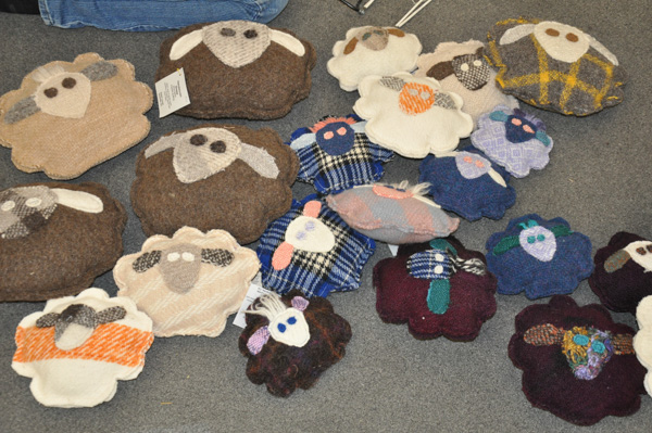
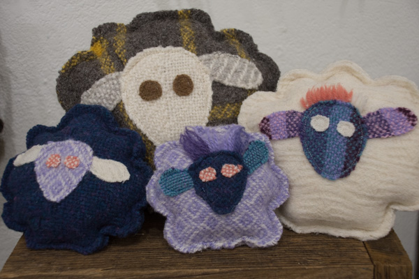 ...and these are some of the sheep.
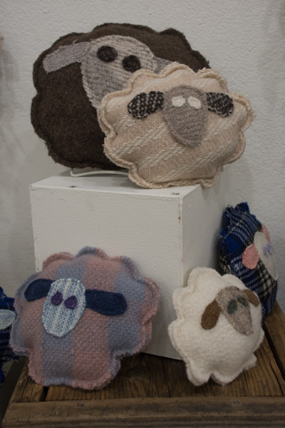 More sheep.
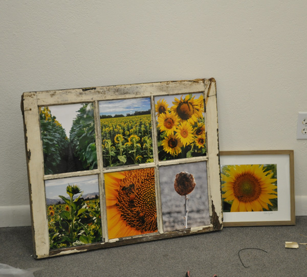
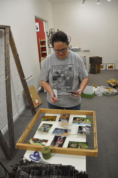
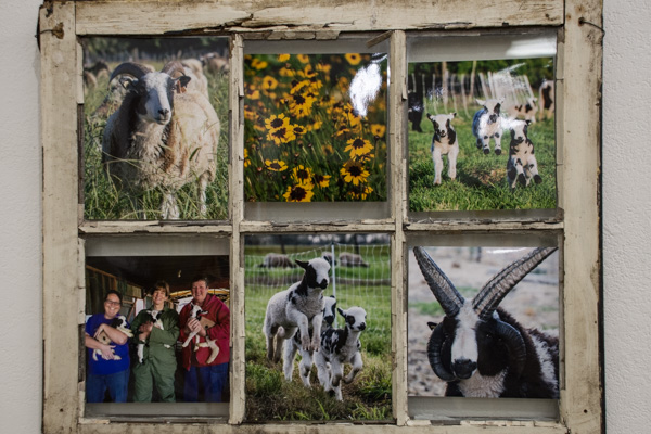 Continuing around the gallery there is this collection of photos. I used two of these six-pane windows to display photos and give a feel for the farm. These are not for sale because they are too rotten (people have asked) but some of the photos have been matted or framed and are for sale.
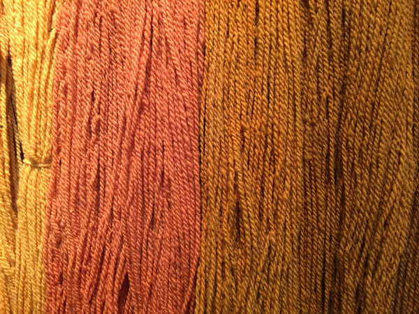
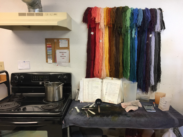
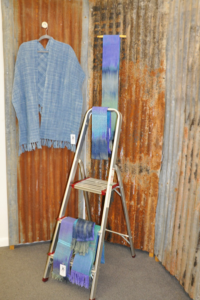
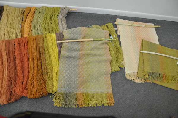
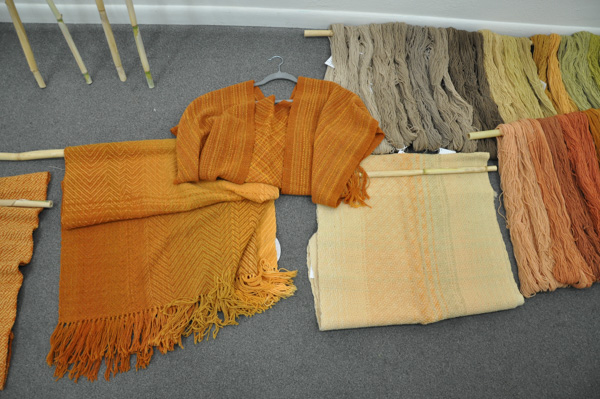
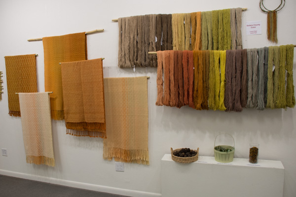 This is the Solano Colors wall and the yarns are the
 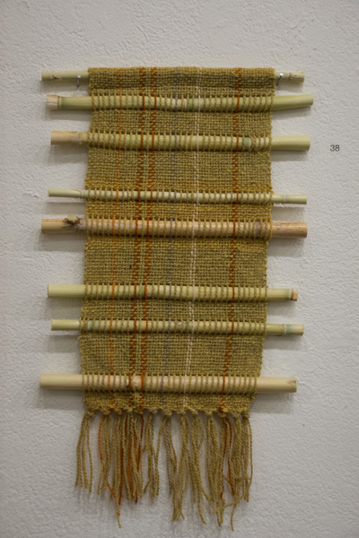 If you look at the previous photo again you'll see that the shawls and the yarn are hanging on what looks like bamboo. I decided to use the Arundo (an invasive species that grows on our north border and had big hollow stalks like bamboo) for hanging the pieces in the show. It was in keeping with the rest of the props (stuff found on the farm), I have an infinite supply of it, I could cut it to any size, and it is free. The perfect solution! Originally I had planned to use the Arundo for weaving, but I just didn't get to it. On the morning I was to set up the show I got up early with a lot on my mind. I got out the loom that I had already warped for this and I wove this piece. It inspires me to do more because I think it is very cool.
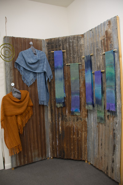 Moving on around the room this is the next grouping. Those scarves were woven on a space-dyed warp that I dyed a few years ago and found in a box on the shelf. Do you see something hanging to the left?
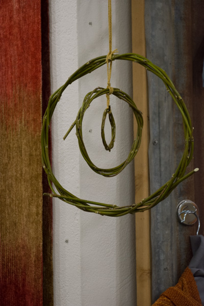 I wanted to do something interesting with the weeping willow branches after stripping the leaves for the dye pots. I tried weaving with them but I think I like this mobile best.
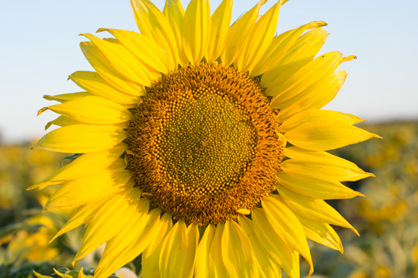
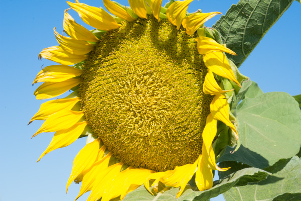
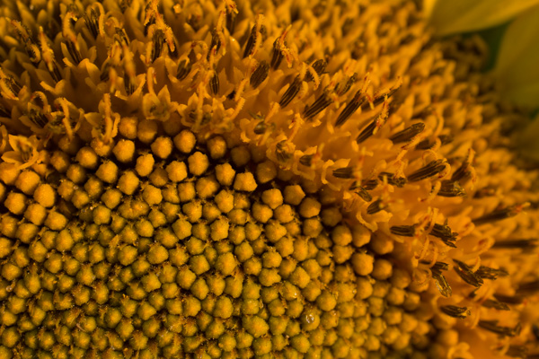
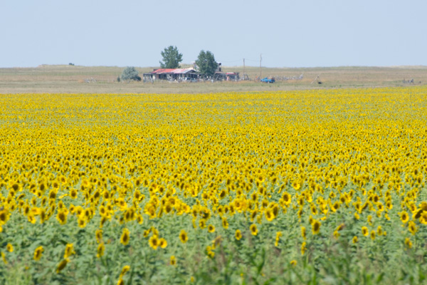
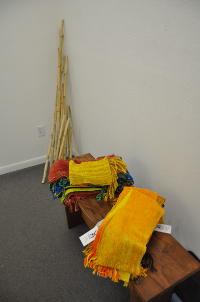
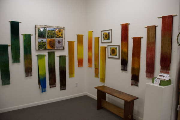 The Sunflower wall is around the corner. These are rayon chenille scarves in the colors of the sunflower field that was Across the Road last summer. I didn't just stick with the yellows and oranges of the flowers but included all the colors of the fields.
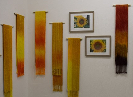 Here is a closer view of the flower scarves.
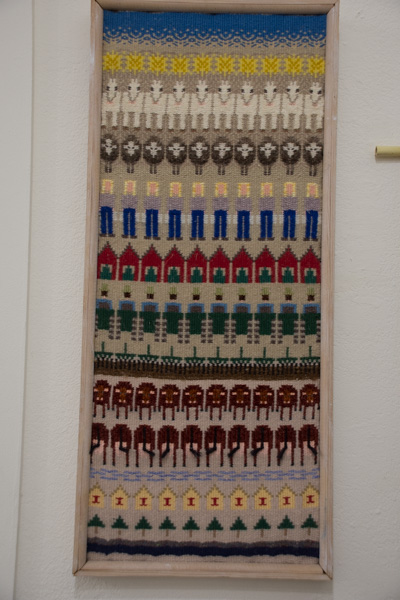 In addition to the window pane photo collage, I included this piece that is not for sale. I wove this years ago when we lived and worked on our family dairy.
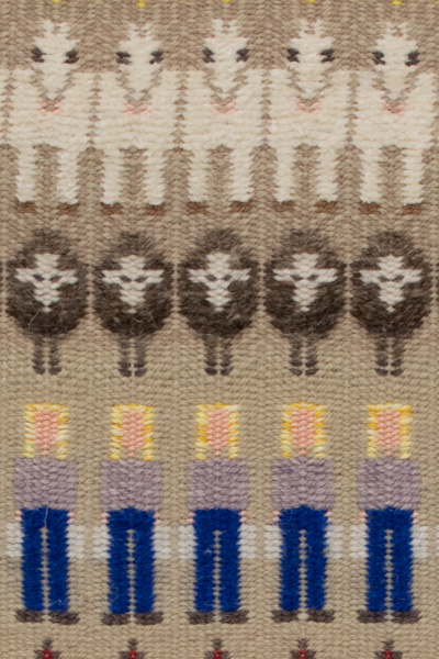 This close-up includes my daughter carrying milk buckets, my sheep, and our pony.
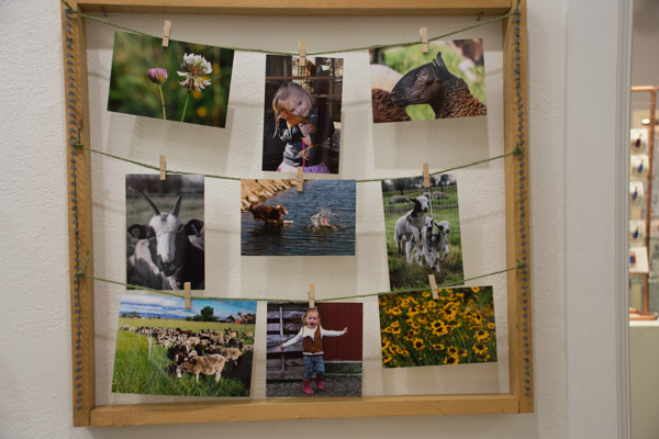 Here is another farm photo collection.
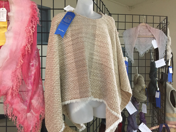
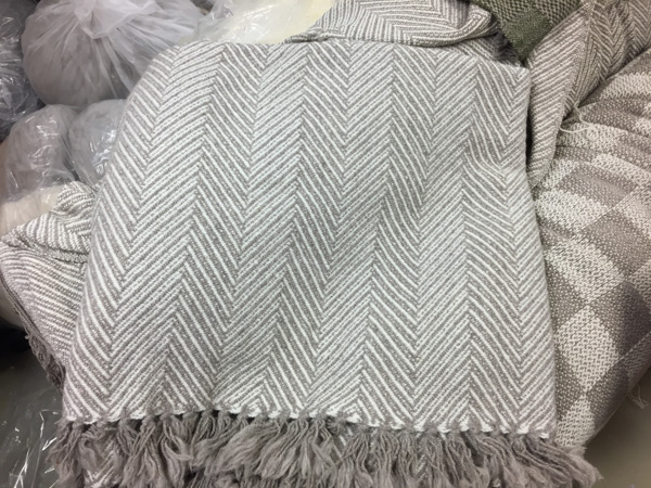
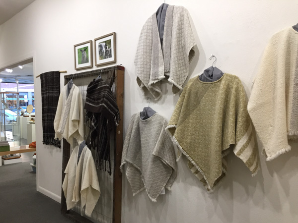 These ponchos and ruanas use the same yarns as the Solano Colors wall, but mostly in natural sheep colors. There are also a couple of handspun Jacob pieces here.
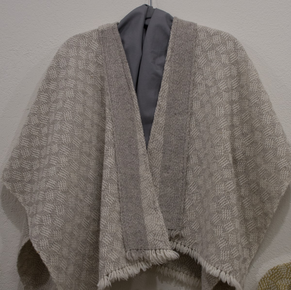 Close up of a ruana.
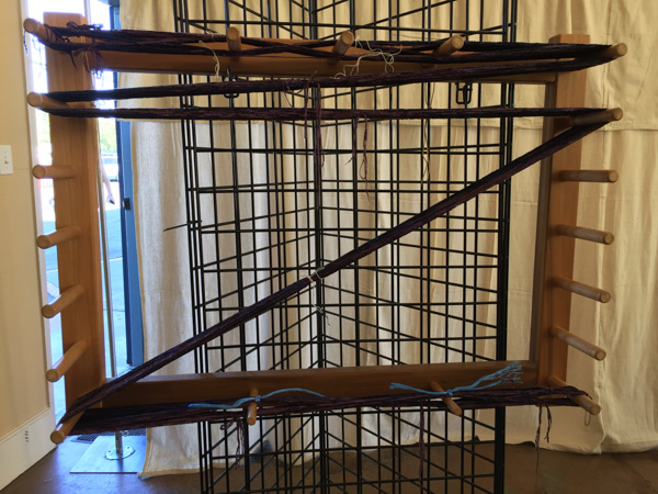
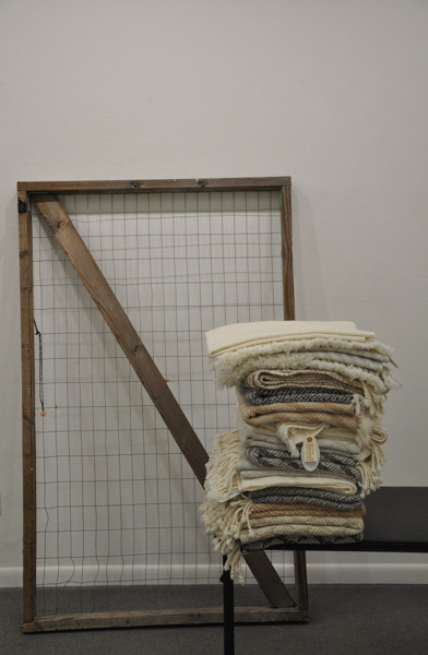
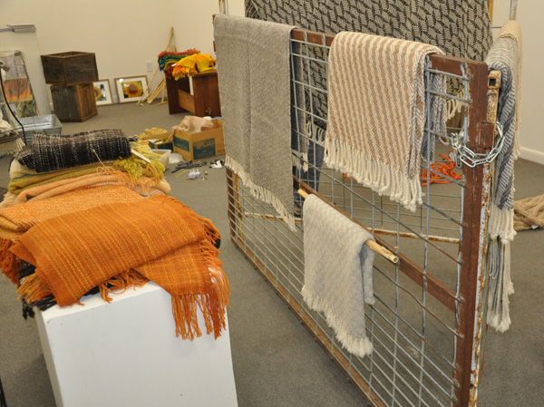
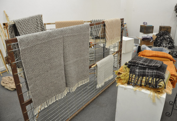
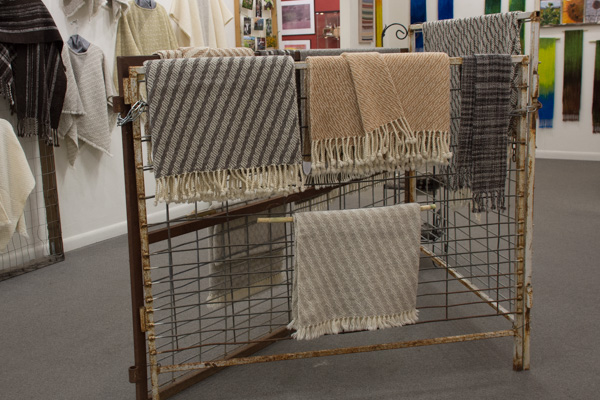 The display in the center of the room is really panels out of my sheep trailer. I used them to hang my blankets and some scarves.
 Here is an overall view of the room...
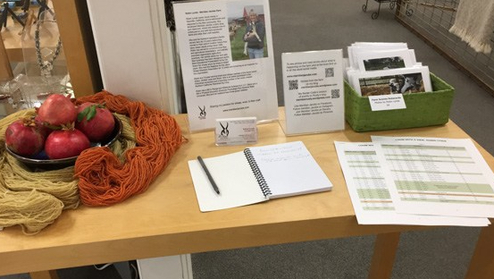 ...and this is the table in the doorway when you come in. The notebook is for visitors' comments. I'd love to see your comments as well.
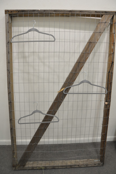
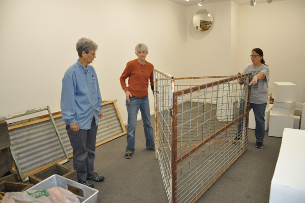
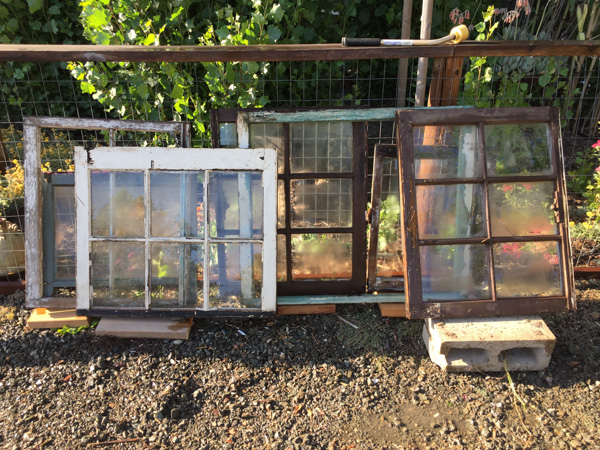 Friends (Lisa and Dona?) said "you should use those old windows that are in back". They were thinking that I could weave using the windows as weaving frames. They like that sort of thing. I like it too, but I haven't actually done much of it. My weaving is more functional than decorative--like blankets, shawls, and scarves. I admire things to hang on the wall, but my house has hardly any wall space, and in my world things that hang on the wall just get covered with dust and cobwebs. Still, one point of doing a show is to move outside what is your same-old-stuff.
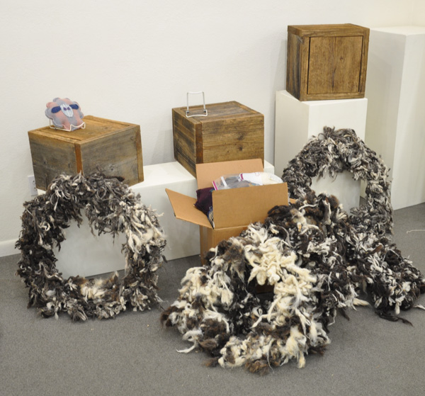
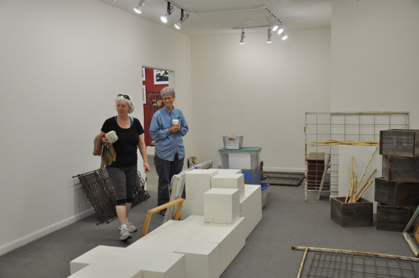
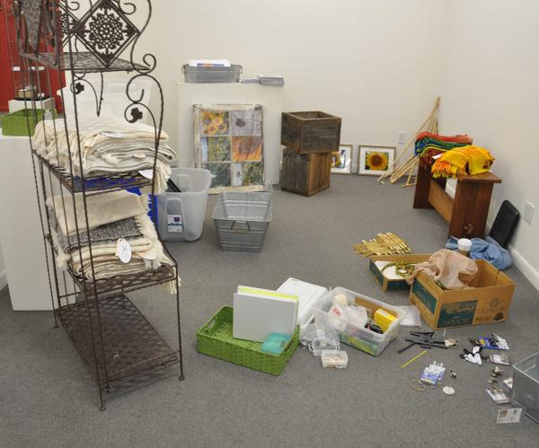
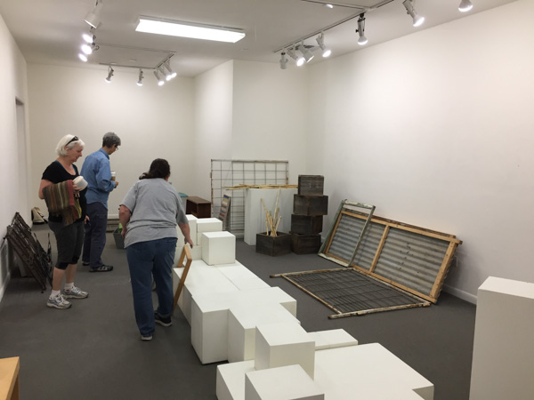 Wednesday, October 25, 2017. That date was stuck in my head. I had to be Ready. My friends showed up when the gallery opened at 9:30 and we unloaded the truck. All those white cubes were in the gallery from the previous show. The first decision to be made was which cubes to leave for my show. The Artery Display Committee needs to know how many they can use for the other store displays, but the person doing the gallery show gets first choice.
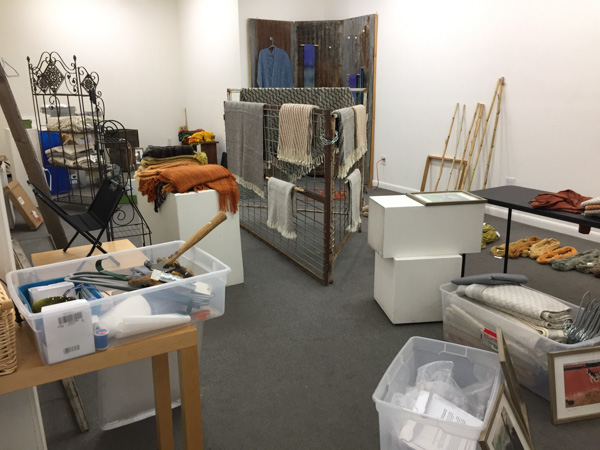 I wasn't really sure but narrowed it down to Not Very Many, keeping some of the larger ones.
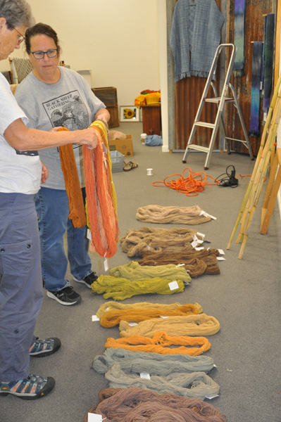
 Organizing by color.
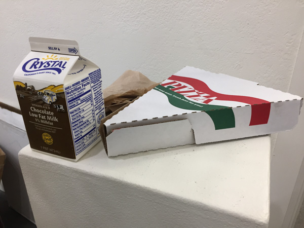 Half way through the day I needed to get my signs printed for the entry. My friends were going to go get lunch and I asked them to bring back a slice of pizza. They know me well. It was touching that they brought back my favorite beverage, but saved for special stress-invoking occasions like being at the fair all day.
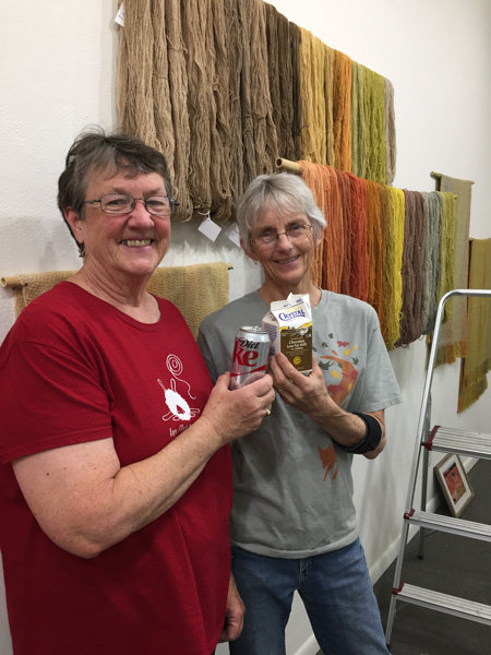 Lunch break.
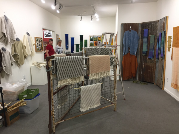 As Dona and Mary left at 5-ish I think they wondered if I'd spend the night there.
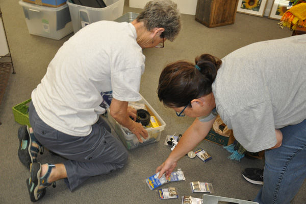
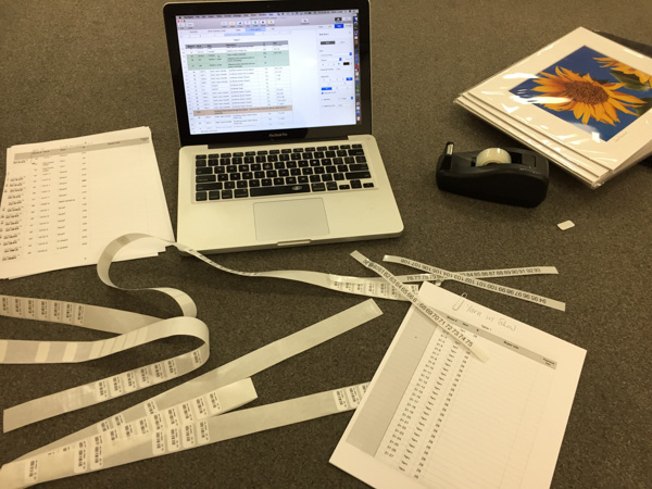 Keeping track of all the pieces in the show by my inventory number and the show number (not the same), entering pieces into the Artery computer, applying barcodes to the tags, applying bar codes to the sales list at the desk, applying sticky numbers to the wall for each piece. I could have used a chocolate milk. I finished up at about 1:30 on Friday.
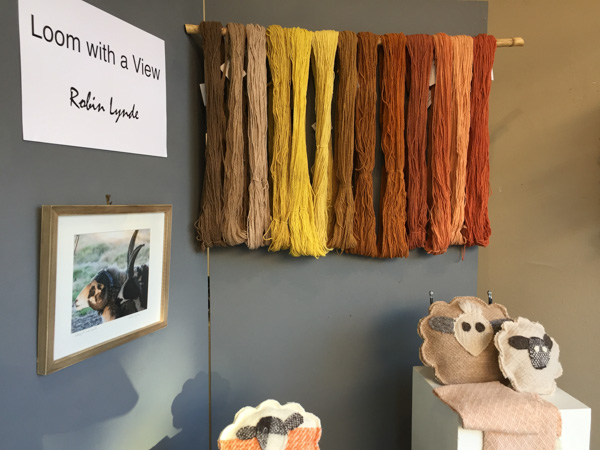 This is the display in the front window.
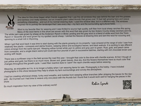
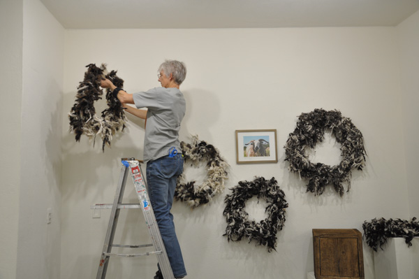

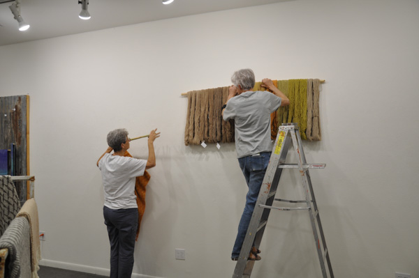 Putting up the Solano Colors wall.
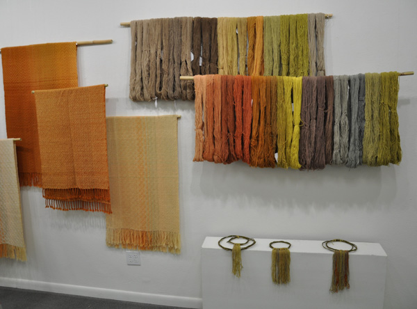
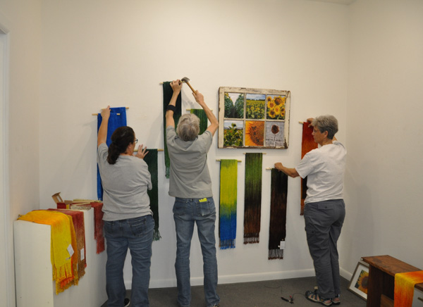 Working on the Sunflower Wall.