Road Trip to SD - Day 2 - Wyoming
/We left Day 1 in the middle of the night in the middle of Utah.
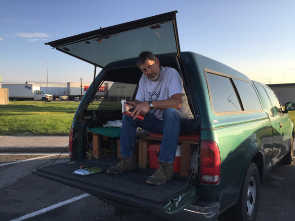
Several years ago Dan built a sleeping shelf in the truck (that comes out when we're not using it). That way we can put gear underneath and leave sleeping bags, etc on the shelf. So it was easy enough to pull into the rest area near Aragonite and sleep. Just to be accurate the map book shows two spelling for this: Argonite and Aragonite, about a mile apart, and both with the symbol for abandoned settlement or railroad siding (and both on a railroad). Aragonite Incinerator is shown as a Point of Interest. It turns out that it is a hazardous waste facility. All of these points are a mile or more from the highway and the rest area.
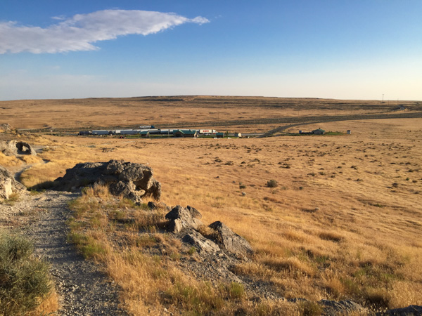
This is a view, looking north to the rest area and all the trucks parked there. There is a trail from the rest area to a rocky hill and a sign that says something about wild horses--so of course I needed to climb the hill. It's not really as far as it looks--that's just the perspective of my phone camera.
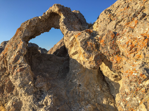
Some of the rocks on that hill.
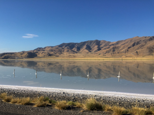
After my walk we got in the truck and started driving. There is one point where the highway crosses the southernmost part of the Great Salt Lake. Notice the salt built up around those fence posts.
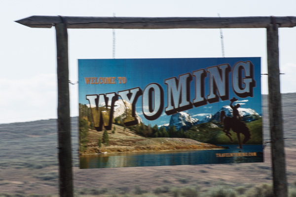
The highway goes over most of Salt Lake City and then heads northeast to Wyoming. We got there mid-morning.
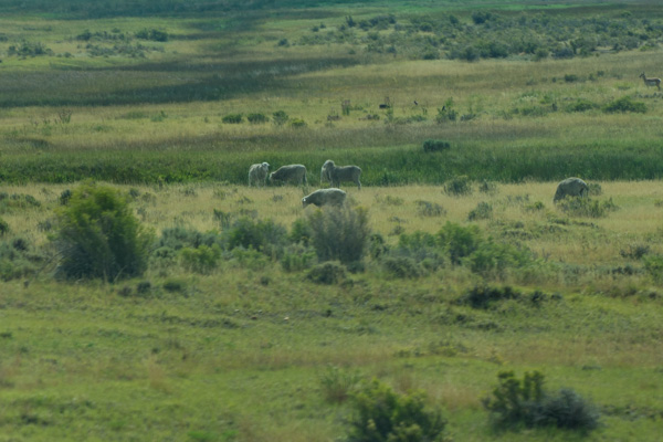
Remember these are all drive-by photos, some with my camera and some with my phone. This is not sharp but a photo of range sheep along I-80 west of Lyman.
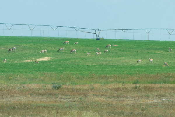
Where there were alfalfa fields there were often pronghorn.
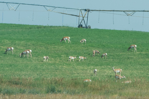
I just looked up "pronghorn". I didn't know that they are not really an antelope and the closest living relative is the giraffe.
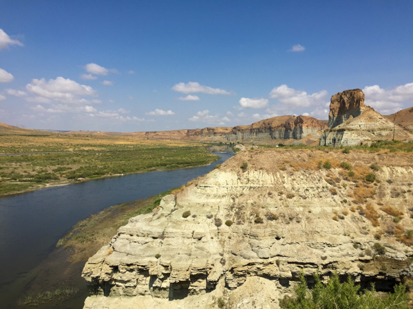
At about noon we stopped at a Visitor's Center in the city of Green River. This is a view of the Green River from that point.
There was an outdoor exhibit about Trona. If you're like me you'd say, "Huh?" From the brochure that calls Sweetwater County the Trona Capital of the World: "a naturally occurring mineral ...is a much-needed industrial material because it yields soda ash. Soda ash is used to make glass, paper, laundry detergents and many other products. It is also used in the manufacturing of other chemicals...baking soda and sodium phosphates." Trona occurs in other parts of the world, but not in deposits of mineable quantities.
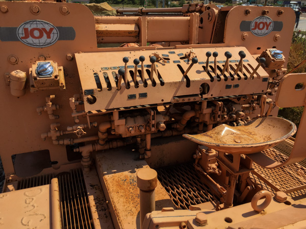
There is a plaque with information about the equipment in the photo above. This is a Face Drill and the plaque tells about a Joseph Francis Joy, who at age 12 in the 1890s, went to work in the coal mines as had his father and brother. I assume that he went on to create this company or to inspire the more sophisticated equipment, but the sign doesn't explain that. However any machine with this many levers seems interesting.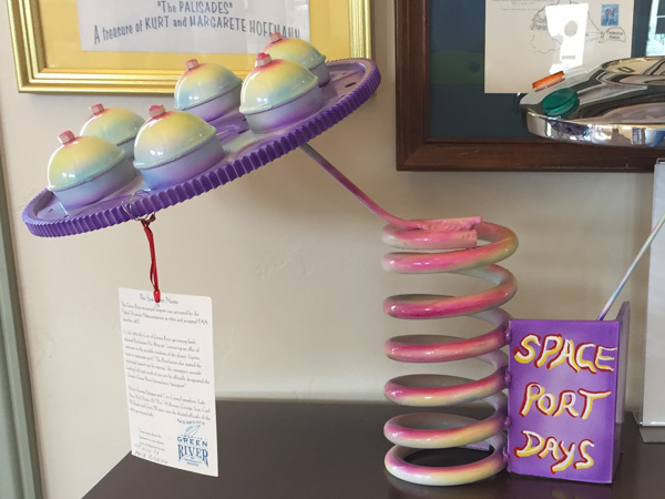
I found the Visitor's Center to be informative and interesting--a good way to break up our drive. I was curious about a reference to the Intergalactic Spaceport and looked that up later. Wikipedia: "On July 5, 1994 Resolution R94-23 of the Green River city council designated this landing field [the airport at Green River] as the "Greater Green River Intergalactic Spaceport", for inhabitants of Jupiter who might wish to take sanctuary in Green River in the event their planet is threatened by collisions from comets or meteors, in apparent reference to the contemporary Comet-Shoemaker-Levy9 impact". Evidently there is a sense of humor in this town.
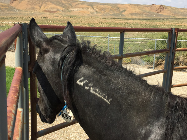
Back outside, there were two horses from the BLM's Wild Horse & Burro program.
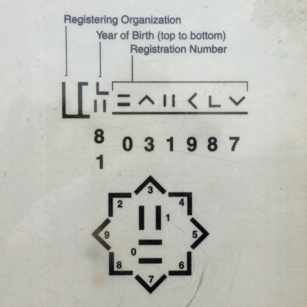
This is the code used for the freeze branding.
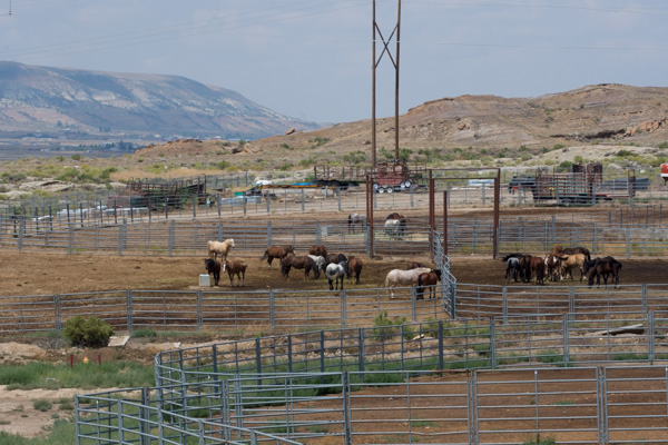
Speaking of wild horses, I saw on the map the BLM Wild Horse Corrals just north of Rock Springs. That is where we were turning north to head up Hwy. 191 so we stopped to look. You can request tours, but we hadn't made any plans, so satisfied ourselves with looking from the overview. The facility can hold up to 800 horses and is the only off-range holding facility in Wyoming. It also is a rest stop for horses being transported from the West to points farther east.
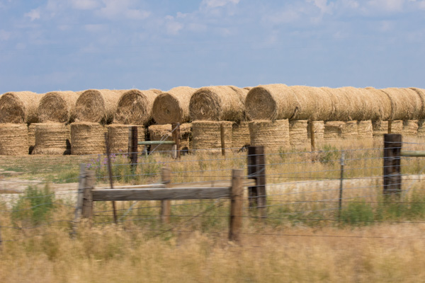
Heading north. It looks like all the hay that is baled around here is put into round bales. I googled "weight of round bales". It can vary from 450 to 1700 pounds depending on size of bale, density of bale, moisture content, etc. So don't ask me how much a round bale weighs.
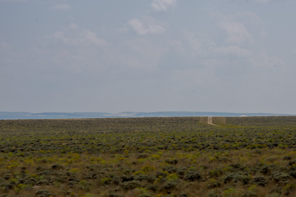
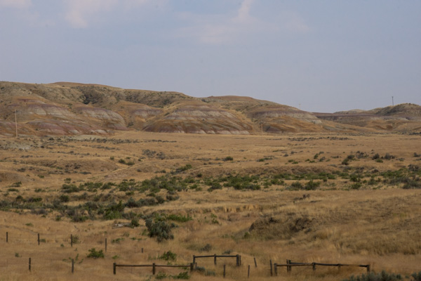
Between Rock Springs and Eden.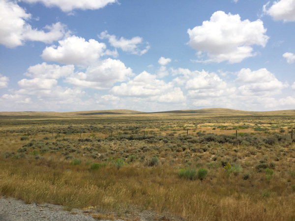
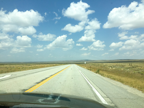
More Wide Open Spaces.
East of Eden, WY. Isn't that a book by John Steinbeck?
In case you are wondering about what we were doing meandering northeast through Wyoming, our first destination was to be Mountain Meadow Wool in Buffalo. We didn't decide the order of our trip until we were actually on the road and I talked to someone at Mountain Meadow to ask about the best time to visit. This was all pretty last minute although I had the time blocked out on my calendar for months.
As you know if you've followed our road trips in other years (search back in Wordpress) we tend to stop at the historical markers we find along the way. Most of the main roads through the West were originally traveled by the Pioneers.
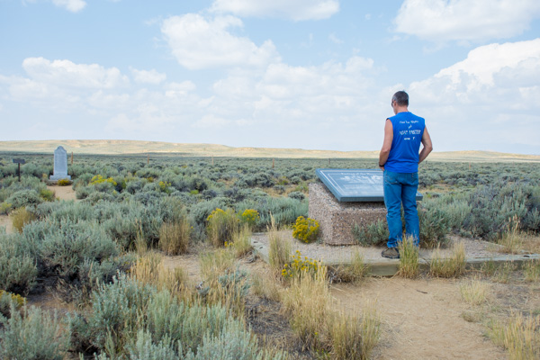
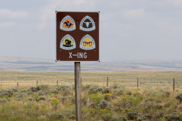
A Wyoming History website says about the Parting of the Ways: "This may well be one of the most subtly dramatic sites remaining on the emigrant trails. Here, in the middle of an open, sagebrush plain, the trails diverge. Emigrants had to decide whether to stay on the main route and head southwest towards Fort Bridger or veer right and cross the Little Colorado Desert on the Greenwood or Sublette Cutoff. The cutoff, opened in 1844, saved about 46 miles but included some fifty waterless miles." This site, however, is the False Parting of the Ways, wrongly identified in 1956 and marked with the tall marker in the background. The correct site was identified about 30 years later and the flat plaque was installed here. The sentiment remains the same though--this is part of the Oregon Trail and the country looks pretty much the same.
It is so hard to imagine traveling this "road" and covering 10 to 20 miles per day.
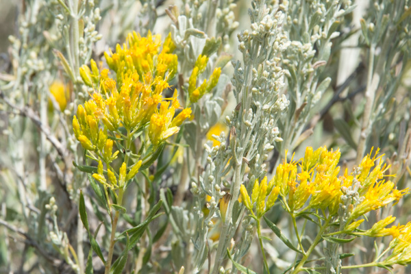
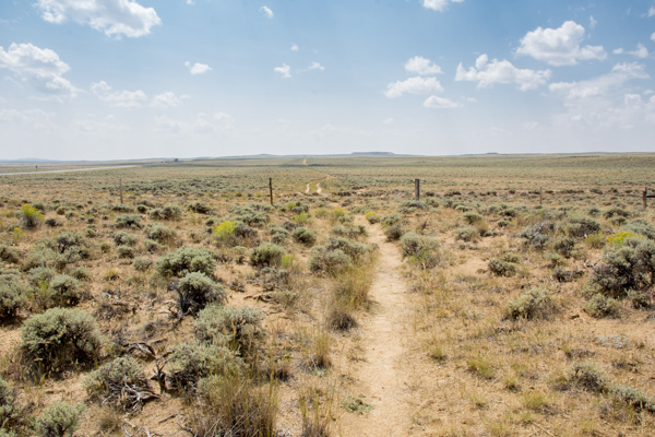
Rabbitbrush near the trail.
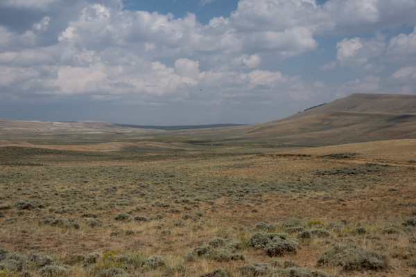
About 7 or 8 miles away we came to the South Pass Overlook and Interpretive Site. "South Pass is the lowest point on the Continental Divide between the Central andSouthern Rocky Mountains. The passes furnish a natural crossing point of the Rockies. The historic pass became the route for emigrants on the Oregon, California, and Mormon trails to the West during the 19th century. It has been designated as a U.S. National Historic Monument." Remember, we are following the trails backwards. The pioneers would have crossed this and then come to the Parting of the Ways and the deserts beyond.
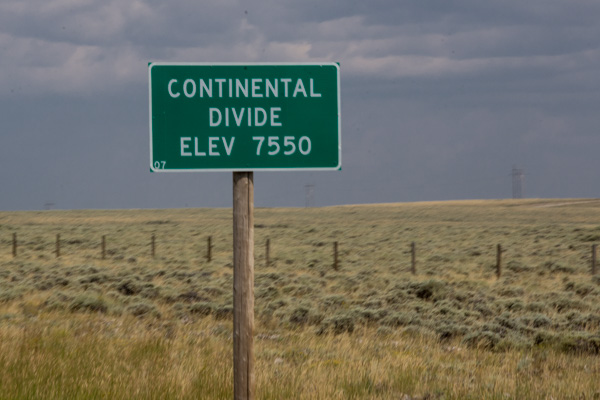
Our modern marker for South Pass.
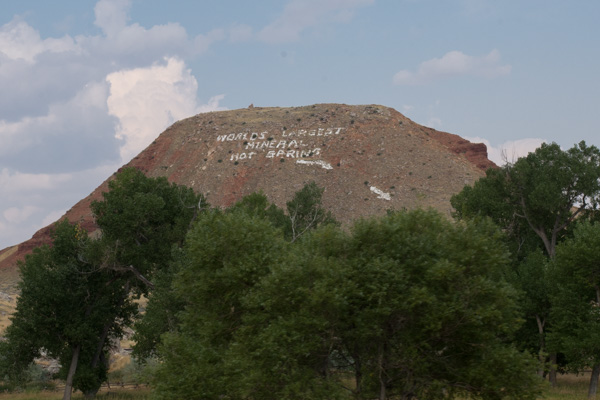
After traveling north for another couple of hours it was hard to miss this sign on the mountain. We thought "sure, anyone can say they have the world's largest anything".
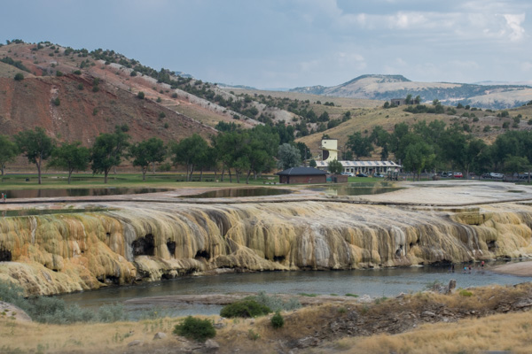
Then we saw it and thought they might be correct. This is in Thermopolis, population about 3000 in 2010. Back to Google and Wikipedia. "The springs are open to the public for free as part of an 1896 treaty signed with the Shoshone and Arapaho Indian tribes."
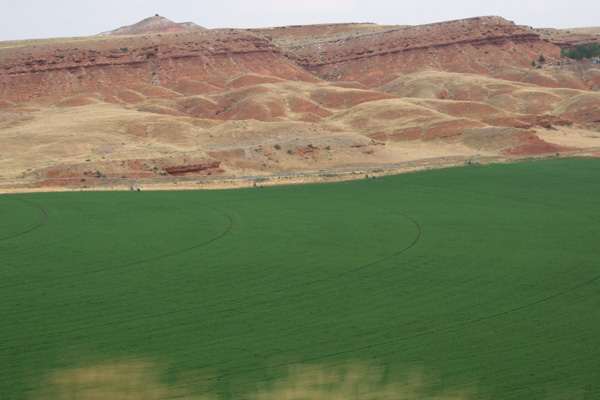
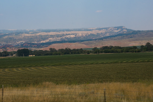
This is the landscape just north of Thermopolis. Beautiful green alfalfa contrasts with the red rock.
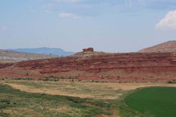
The landscape reminds me of southern Utah.
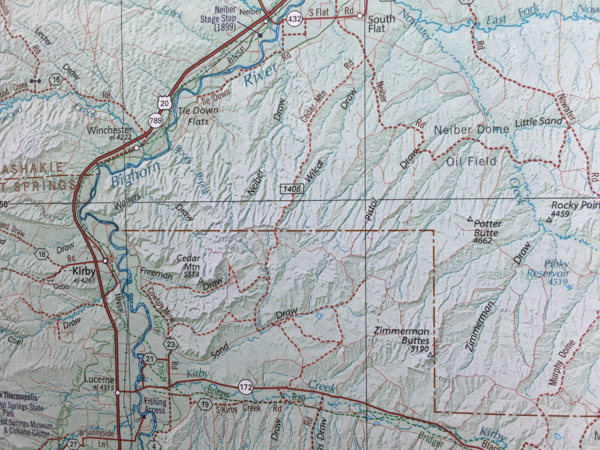
Look at what I saw on the map coming up! A town named Kirby, which happens to be the name of the cutest granddaughter ever. I should get a hat or a shirt or something there.
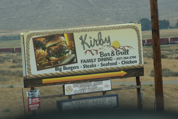
The Kirby Bar and Grill looks promising.
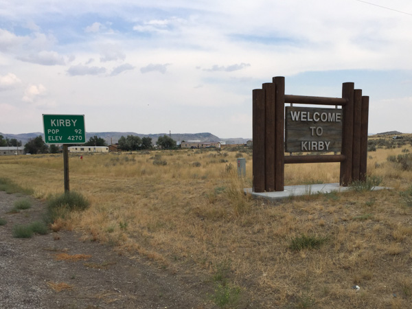
Kirby is not a big town.
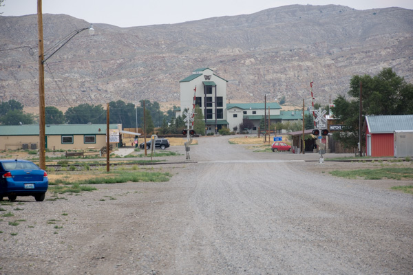
This is pretty much it, except for a few gravel roads with houses. That's the Bar and Grill to the left. There were people there, but no "Kirby" items to buy. We wondered about the big building at the end of the road. It seemed odd to be in this tiny town. This is Wyoming Whiskey, a distillery started and owned by a Kirby cattle ranching family. They give tours but it was closed when we were there.
More landscape in the Bighorn Basin.
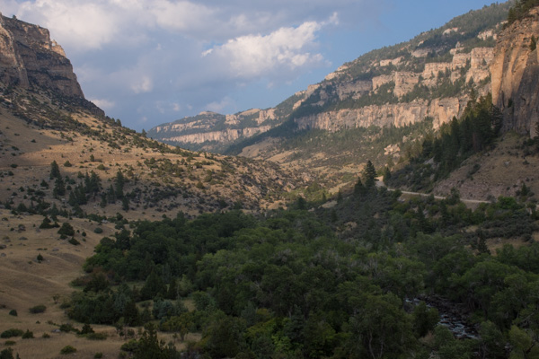
It was evening when we got to the Bighorn National Forest, part of the Bighorn Mountains. We hoped to find an open campsite. We had blocked out two weeks in which to take this trip and then chose the first week so that we would miss the hoards of people traveling to this area on Eclipse Weekend. What we didn't realize was that this was Sturgis Weekend, a motorcycle rally that draws 500,000 motorcycles, mostly (it seems) Harleys, to the small town of Sturgis, South Dakota, just over the border from Wyoming. The national parks and towns surrounding Sturgis gear up for the onslaught of people, but evidently, those people weren't interested in camping in the Bighorn National Forest.
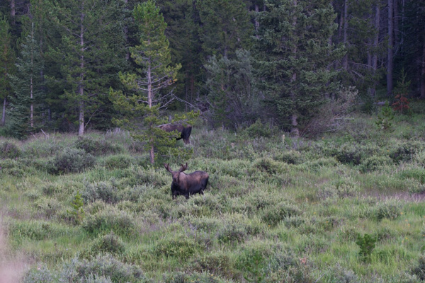
It was getting close to dusk and we saw people parked on a pullout along the road. Our Yellowstone experience taught us that where there are people standing and pointing there might be something to see. Two Moose!
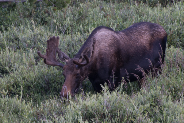
Check back for Day 3. At this point I am so jealous of my friends whose wildlife photography is outstanding in its clarity. Photographer or lens? Probably both.
