Road Trip to SD - Day 6 - Following the Pioneer Trail
/At the end of Day 5 we had stopped at the Horsethief Lake Campground in the Black Hills National Forest, still in South Dakota.
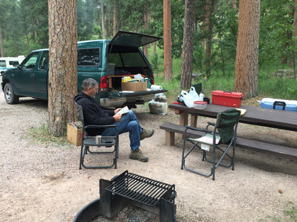
We had looked at the map and planned the direction to start for home, wanting to roads that we hadn't traveled before as much as possible.
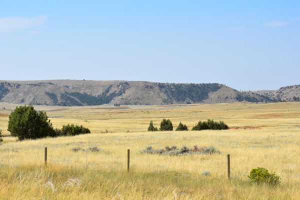
We headed toward Wyoming...
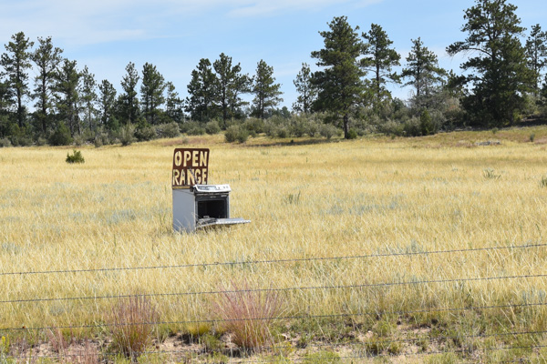
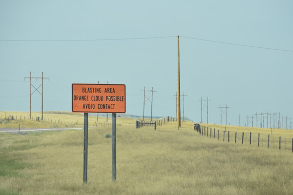
...and saw this along the road.
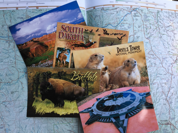
I had been collecting postcards to send to my 3-year-old granddaughter but hadn't mailed many yet so today I was going to search out post offices in the small towns along the way.
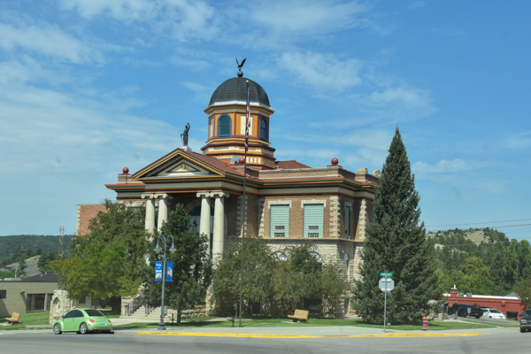
A gorgeous building across the street from the post office in Newcastle. From there we took Highway 450 west through the Thunder Basin National Grassland toward Wright.
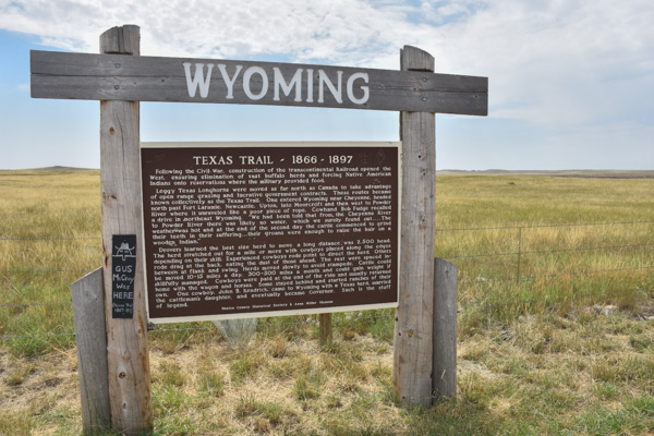
We were driving through the country where huge herds of cattle had been driven as far north as Canada, grazing along the way, and then shipped by railroad to eastern markets. Belle Fourche, where we had been a couple of days before was one of the important shipping points. (Lonesome Dove fans, note the sign on the post.)
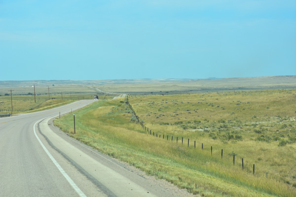
According to the sign 2500 head of cattle strung were strung out for a mile, traveling 10 to 15 miles per day. They could gain weight over the 300 to 500 mile trip.
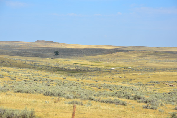
Alternatively picture the thousands of bison that once roamed here while the Native American's called this home. Same place. Different eras.
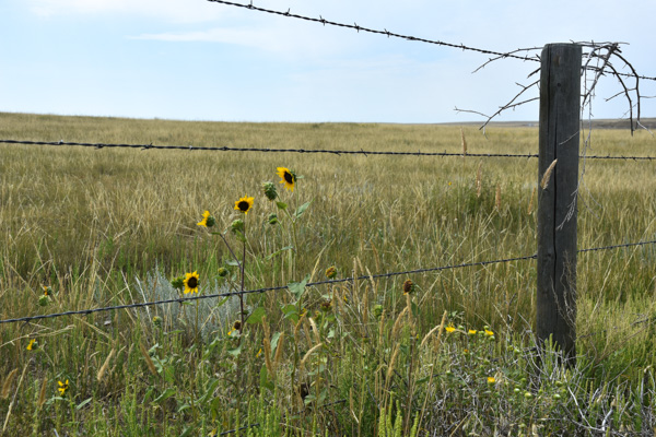
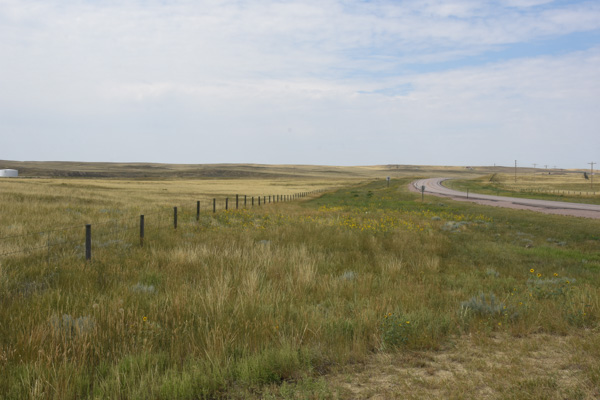
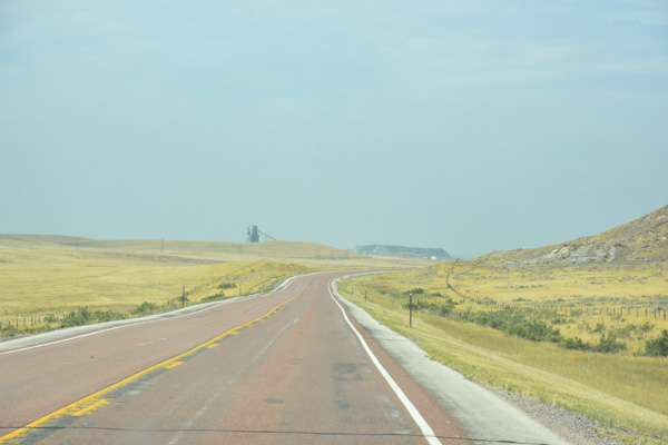
Before we got to Wright near the western edge of the Thunder Basin National Grassland we saw the first glimpse of a major industry in Wyoming...and the sky was more gray.
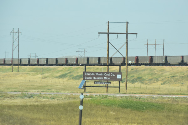
According to Wikipedia, the Black Thunder Coal Mine is the world's largest coal producer.
This is an immense operation.
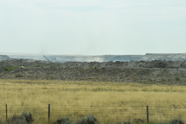
I couldn't get photos to show the scale of what we were seeing. You can see a tip of the excavator down in the pit. Wikipedia says "Black Thunder’s dragline excavator is the biggest in the world and produces enough coal to load up to 20-25 trains per day."
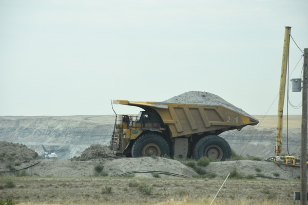
The excavator fills this truck with one pass of it's giant scoop. This is a huge truck--the driver is sitting in that little cab above the wheel.
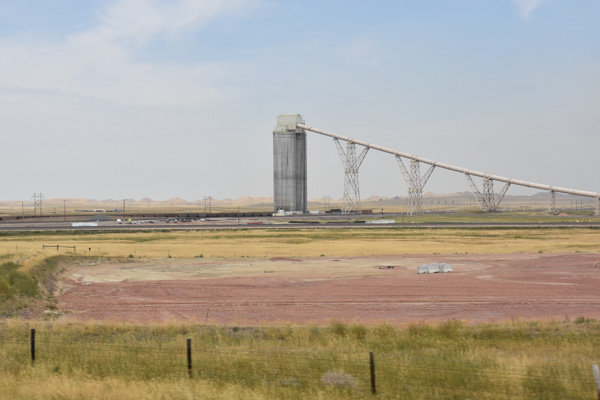
Take a look at the photo below to see the true size of this structure.
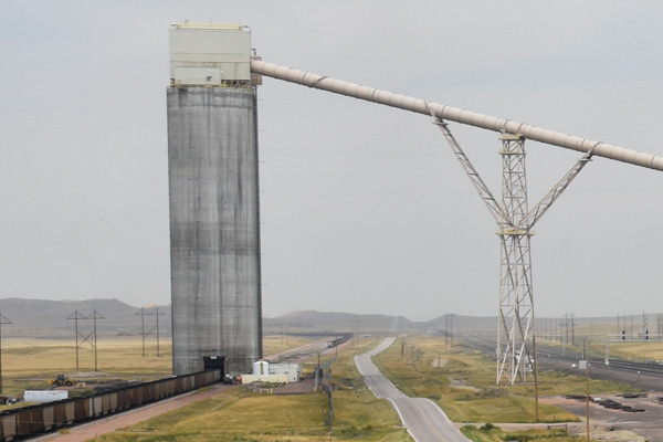
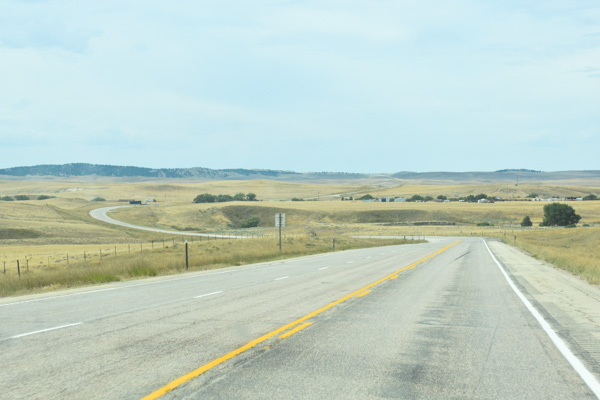
More of Wyoming prairie. This is between Wright and Edgerton.
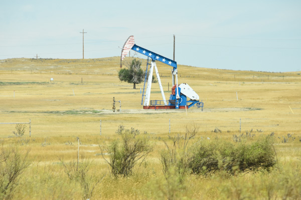
Someone has decorated their oil/gas well.
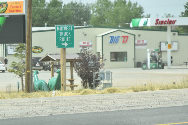
I have included this photo because of the two dinosaurs and it reminded me of a photo op that I missed earlier in the trip. The dinosaur seems to be the mascot for Sinclair gas stations. We passed a gas station somewhere along the way where they had a dinosaur the size of these and it was tied to a fence post with a rope around its neck. I still think it's one of the funniest things I saw on this trip. It would have looked natural to have a horse tied up right next to it.
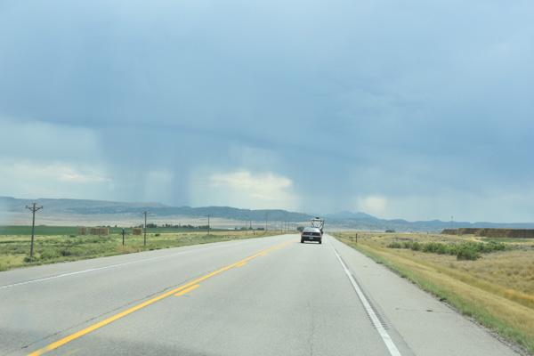
We drove through Casper and took Hwy. 220 towards Rawlins.
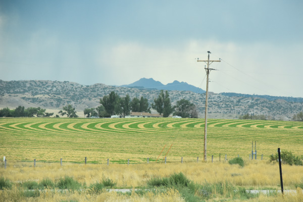
We watched lightning in the distance. Do you know how hard it is to take lightening photos?
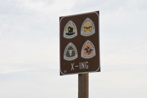
We were still following the trail of the pioneers...
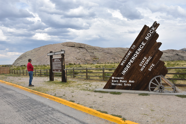
...and we stopped as they did when we reached the Independence Rock, which is now a State Historic Site.
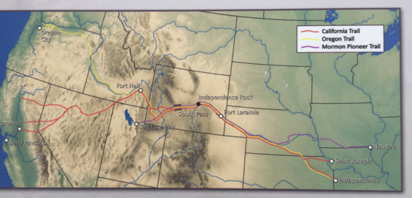
In one of the earlier posts (Day 2) we had stopped at South Pass. Then we were heading east, backwards from the direction the explorers and pioneers travelled. They would have been at Independence Rock first, looking west towards South Pass, 100 miles to the west.
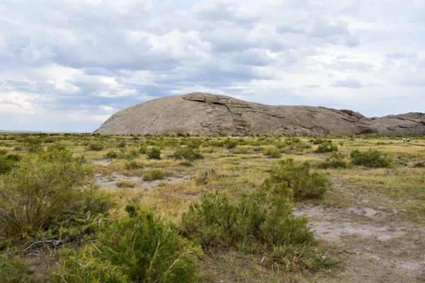
Independence Rock was the first major landmark after leaving the North Platter River to follow the Sweetwater River to South Pass.
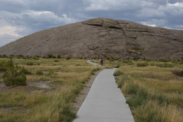
There is a trail around the rock for modern day visitors. You can see where early travelers left initials and names scratched into the rock.
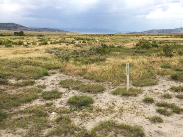
This is the remnants of the trail heading on southwest.
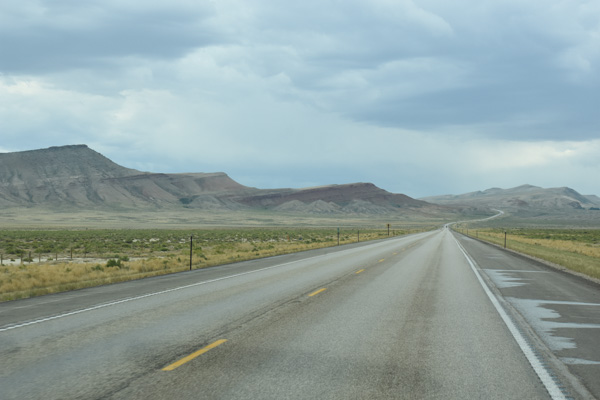
We were back on our trail towards Rawlins.
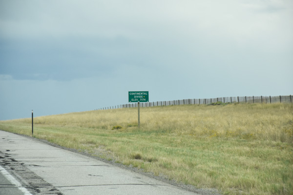
We crossed the Continental Divide.
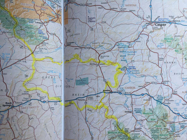
I used to think that you crossed the Continental Divide once and then were on the other side. I found out that there is an exception in Wyoming (and when I looked at a map of the Continental Divide, also in Mexico). Wikipedia again: The Great Divide Basin is an area of land in Wyoming's Red Desert where none of the water falling as rain to the ground drains into any ocean, directly or indirectly." I highlighted this on the map so that I could see it more clearly. South Pass is near that northern route of the Divide.
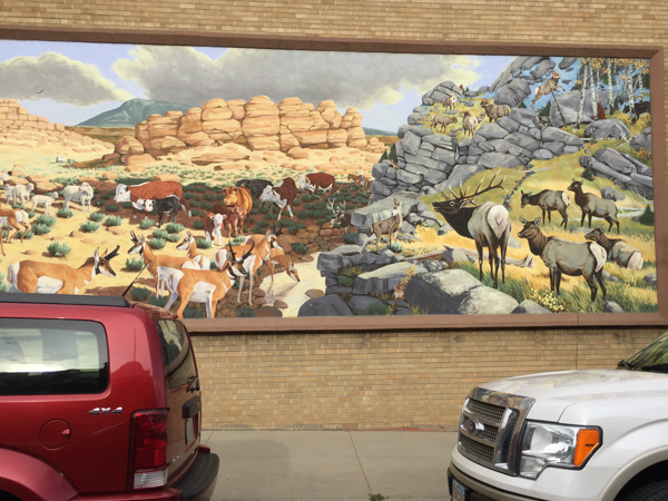
We found the Post Office in Rawlins (this was across the street)...
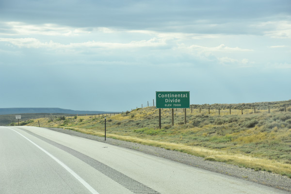
...and then crossed the Continental Divide again...
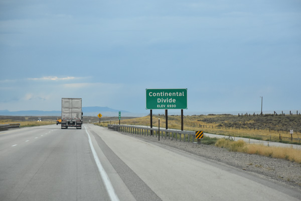
...and again.
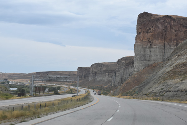
Near Green River on I-80. From here on we were backtracking where we'd already driven.
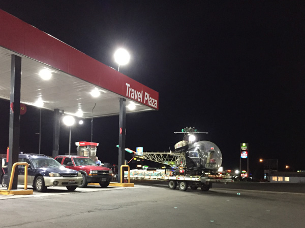
It was dark when we got to Evanston, just on the edge of the Wyoming-Utah border. Looking at the map book and trying to find somewhere to spend the night I had found one more point of interest for the next day. We still hadn't figured out a good place to camp so we stopped here for gas and Subway sandwiches and took the maps inside for closer scrutiny.
To be continued...

