Road Trip to SD - Day 5 - Badlands in the Morning
/I wasn't very complete in my description of Jewel Cave from Day 4 of this trip. I usually get out the brochure and re-read the info that is there. Those formations in some of the photos are called Dogtooth Spar, 6-sided calcite crystals formed completely underwater, and Draperies, formed as water trickles down, leaving deposits of calcite crystals. The brochure says that while the cave was forming it was completely submerged in groundwater that was rich in dissolved calcium carbonate. As conditions changed the calcium carbonate precipitated and formed calcite crystals off various depths and shapes on exposed surfaces.
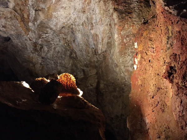
Here is one more photo from Jewel Cave. There is another cave nearby--Wind Cave National Park but we just didn't have time for everything.
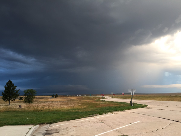
I left off the last post with heading to a Rest Stop in the dark. That was not our best night but at least we slept. However we had chosen this plan after passing up the trailhead parking that said "No Overnight Camping". We didn't want to be federal criminals. I will admit here that we are now criminals in the State of South Dakota. The rest stop had a sign posted about a SD rule that you can't stay more than three hours at a rest stop and there was video surveillance for our safety. I keep expecting to get a summons in the mail. The photo above is what we woke up to. That weather system was in the west, where we were headed to see the Badlands.
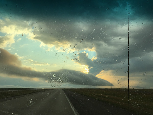
We first had to drive east to find a place to turn around. We commented that South Dakota has big raindrops.
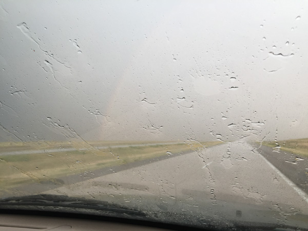
Now heading west.
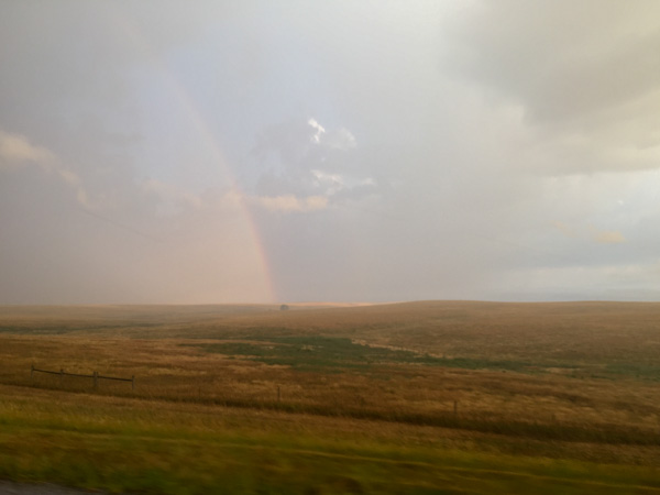
Eventually we drove through the storm, or it passed us over as it was heading east. This was the first time that I've been "on the ground" in the Midwest and I found this side of South Dakota as beautiful as the Black Hills in western South Dakota, although very different.
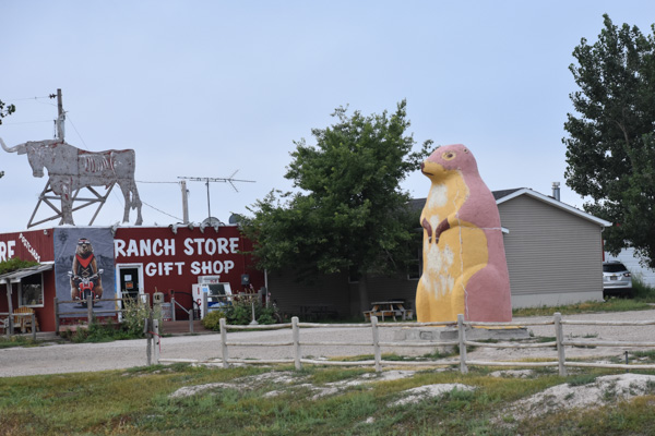
Change of pace. A bit of commercialism near the entrance to the National Park.
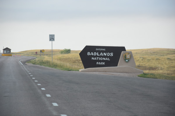
Now there was someone at the entrance station (it had been closed the night before) but there were no maps. It seems they had run out with all the motorcycle traffic. (We were able to get one at the Visitor Center.)
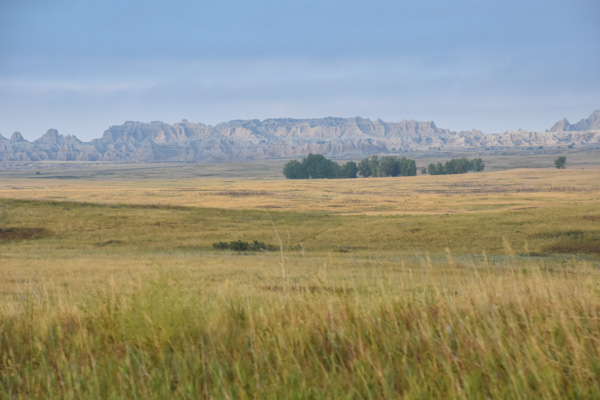
The first view of the Badlands, although we had a glimpse from the other side just before dark the night before.
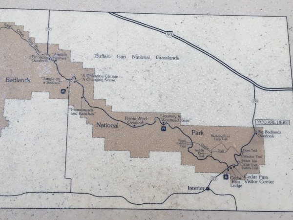
The previous night we had driven through the Buffalo Gap National Grasslands on that road south of the Badlands NP, through the eastern end of the Park and north to the highway. If we had more time we could have gone to the National Grasslands Visitor Center further west on Highway 90 in the town of Wall and the Minuteman Missile National Historic Site just north of the Park. (Note to self: take another trip to SD and buy the Map Book first.) We planned to explore the trails here at the west end of the Park and then drive through the Park, starting our drive home.
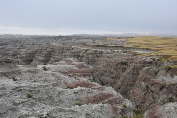
We stopped at an overlook. You can't tell from this photo but the wind was blowing and it was cold. And what was weird is that this fog was rolling in. That sounds like something I would say standing over the San Francisco Bay. Fog rolling in here in the Badlands? In August?
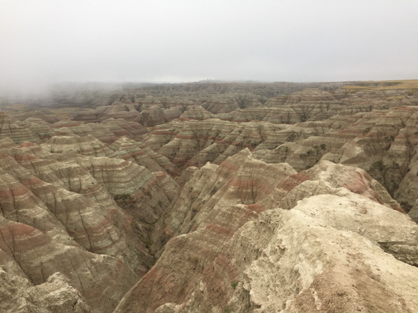
Maybe its not "rolling in". But it sure settled fast.
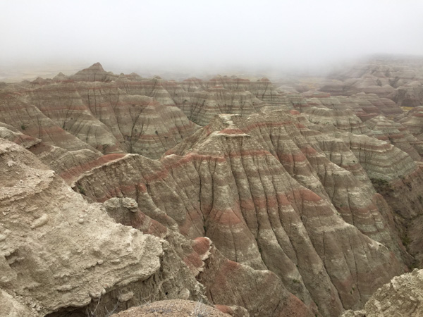
The distance view was gone within ten minutes. In fact these photos were taken ten minutes after the first one right after the National Park sign.
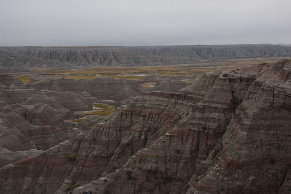
We drove on. The formations were stunning but the surroundings did seem cold and gloomy.
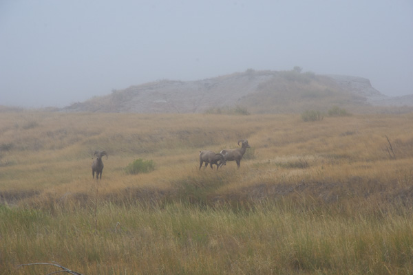
At the next stop we saw bighorn sheep! Yes! This was the clearest photo I had of them as the mist seemed to get thicker. "Sheep in Fog". The sheep stayed around, in fact bedding down right there while we hiked on a short trail on the other side of the road.
Then we went to the Visitors Center to get warm, pick up a brochure and map, and see the exhibits.
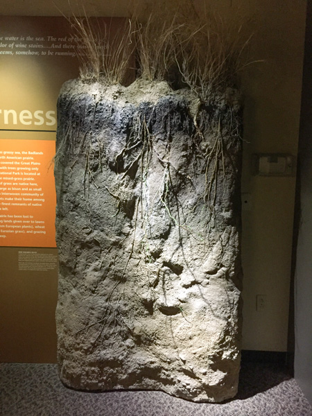
Did you know that my background is in Range and Wildlands Science? That's what the UCD degree was called after it changed from Range Management before I graduated. I admit that I can't identify most grasses anymore and certainly not these of the Great Plains, but I am interested. The grass is an extremely important part of an ecosystem, whether its these prairies or our irrigated pasture back home. This is a great exhibit.
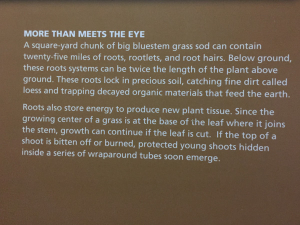
Remember the Dust Bowl? Well, most of us don't remember it, but we know about it. This explains why, when you plow up the prairie you have set up the system for disaster. The Park brochure explains that "the Badlands prairie contains nearly 60 species of grass, the foundation for a complex community of plants and animals. The prairie once sprawled across one-third of North America." Today there are only patchwork remnants of this prairie that "occurs in areas that are too dry to support trees but too wet to be deserts".
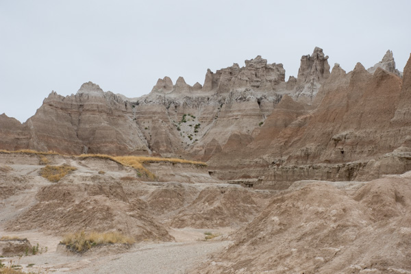
We drove on to the Fossil Exhibit Trail. This area went from being a under a shallow sea, to a jungle after the land lifted up, and then covered with sediment and volcanic ash that turned to soft rock. Eventually erosion exposed all the colorful layers and the fossils they hold, so the SD Badlands in known world-wide for it's fossil record.
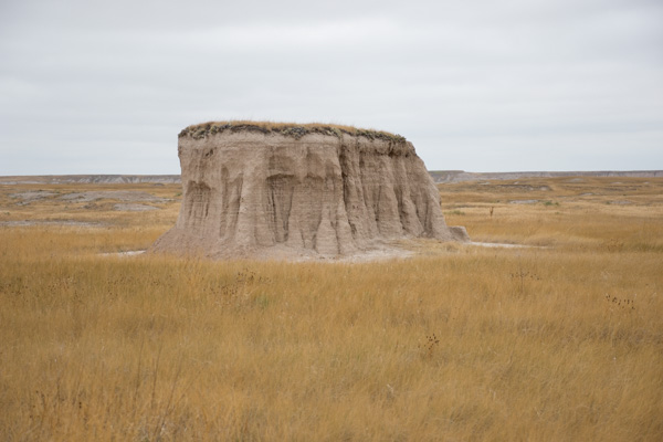
From information found on this website: "Although by definition badlands contain very little vegetation, some plants, particularly prairie grasses, are found in South Dakota's badlands regions. Sod tables, remnants of the prairie that have resisted erosion, provide platforms for vegetation."
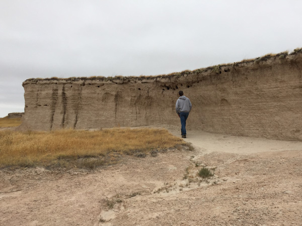
You can see the layer of soil that held by the roots of the vegetation but that isn't enough to prevent the sides of the sod table to continue to erode. In fact, the Badlands are retreating to the north in general as natural erosion occurs. Notice the holes at the top of this sod table. We thought that maybe birds used these holes.
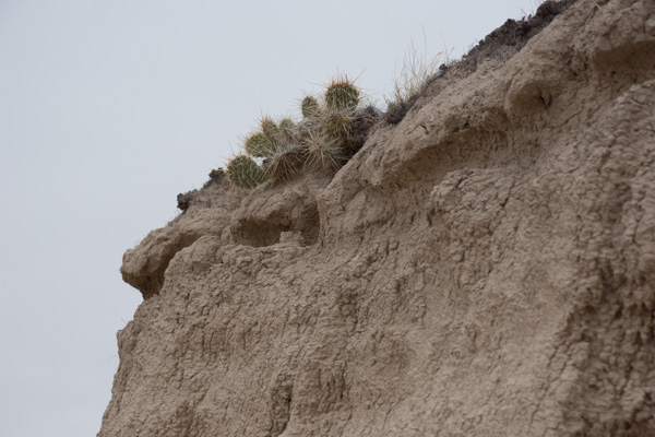
Then we saw that these are rodent tunnels that have opened as the erosion occurs. You can see that in this photo.
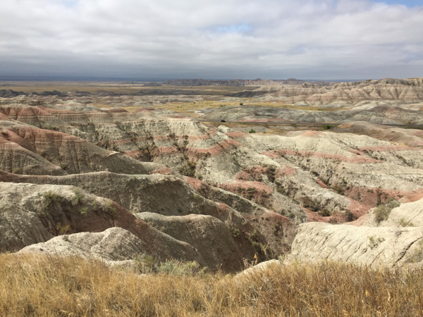
Beautiful landscape. What would an early explorer have thought, having just ridden over miles of grassland?
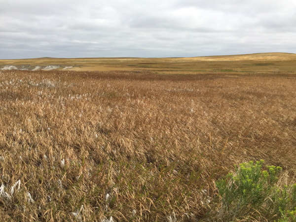
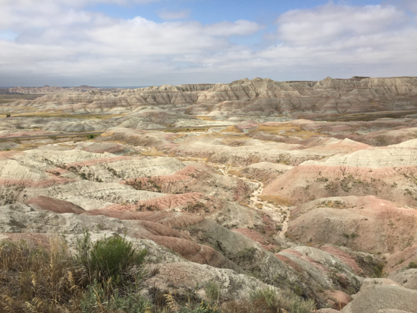
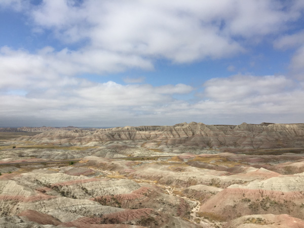
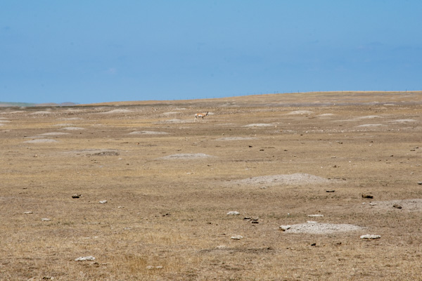
Here is a different landscape. I might not have known for sure what this was except for having visited Devils Tower NM two days before. (By the way, there is a pronghorn in the photo but I'm talking about the mounds and the lack of grass.)
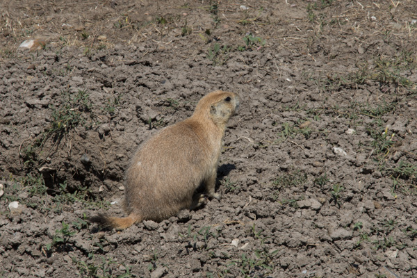
Here is the culprit. I can see how prairie dogs are considered a nuisance. The road took us past acres and acres of this devastated landscape. As usual there are two (or more) sides to a story. I have to get on with other things right now and won't try to research this one. Here is one article that gives various perspectives.
The day wasn't over. We had another stop before camping for the night. That will be in the next post.

