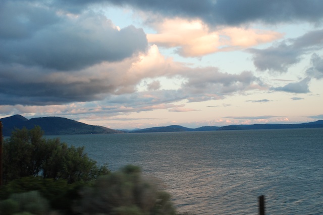
Does a 2-day camping trip warrant 2 blog posts? For me it does because we don't do this very often. And I took lots of photos.
We discovered that we did sleep relatively all right in the truck, although I was told that I had more than my share of the "mattress". Huh!
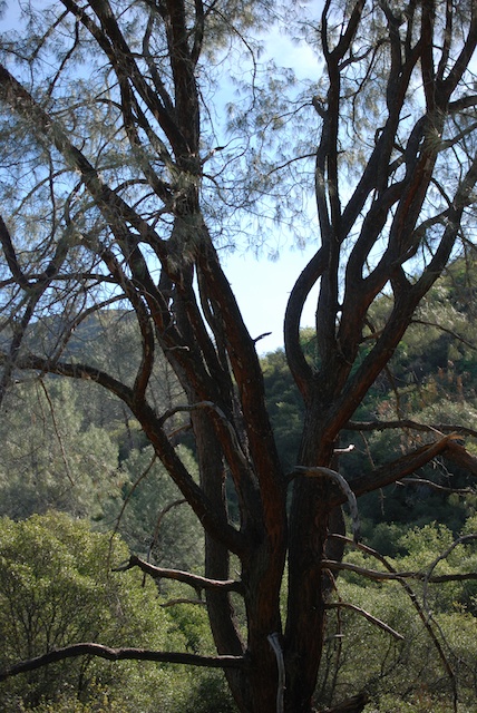
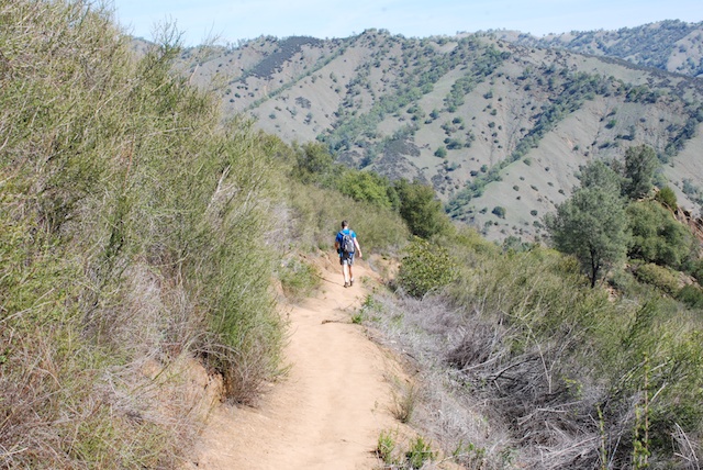
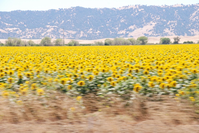
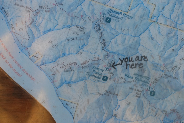
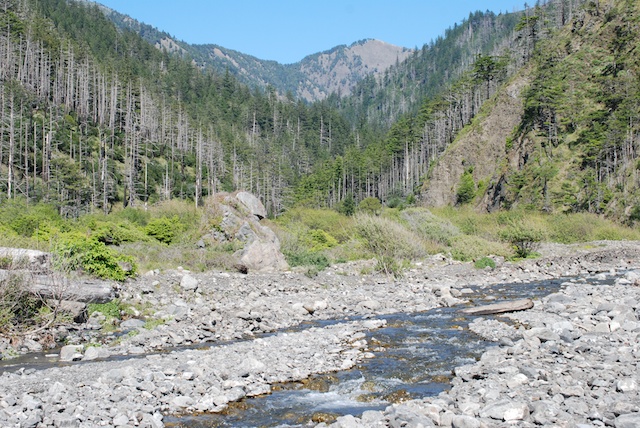
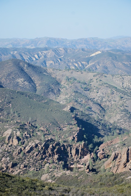
The next morning we checked the map and chose the hike for the day.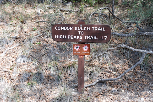 This was the first leg of a 5.5 mile hike. Notice the word Condor. I took my binoculars on this hike, determined to identify a condor this day. Pinnacles is one of the few remaining areas where the endangered California Condors live and nest.
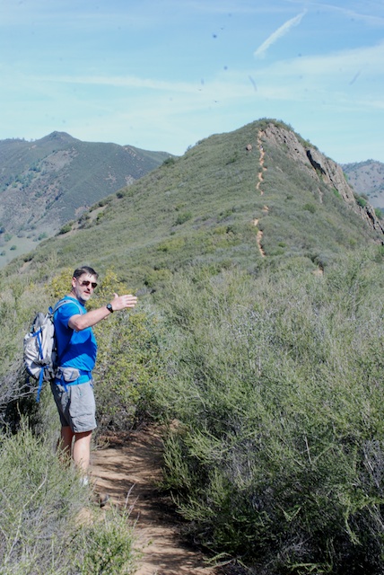
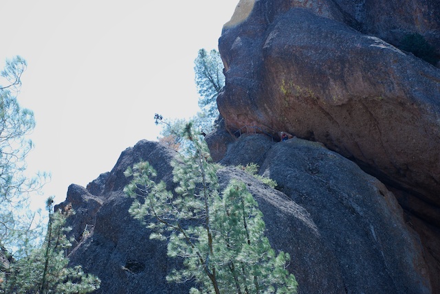
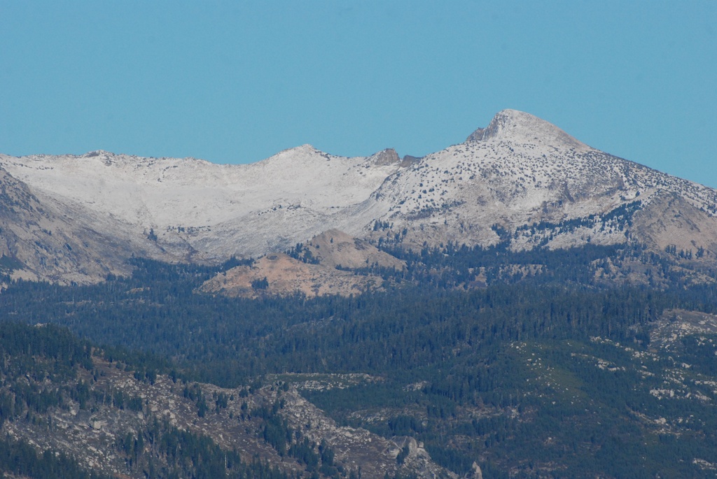
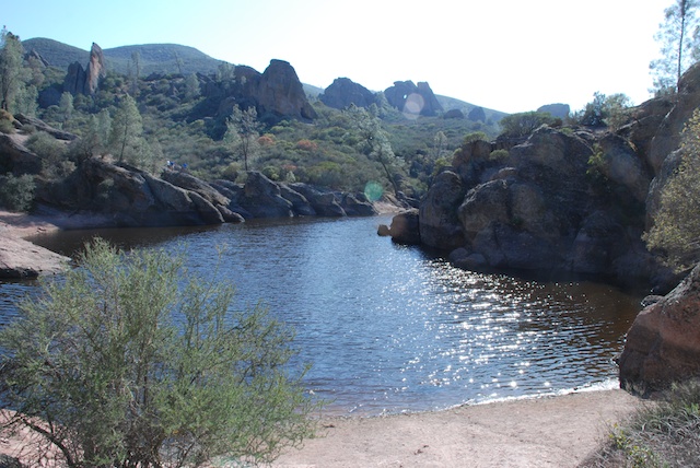
This trail winds up the mountain and behind those peaks in the distance.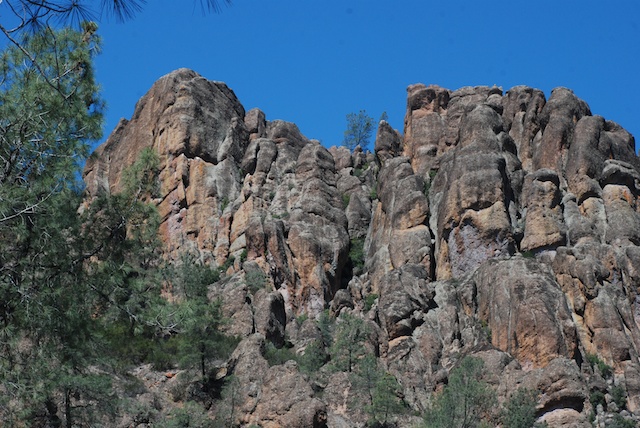 Getting closer to the peaks. At this point we talked to a wildlife biologist who was using an antennae to try and pick up a signal of the condors who are banded with transponders. She said that they do nest in these cliffs but today she hadn't found any. They don't always stay in the park area. We saw plenty of soaring birds but they kept turning out to be buzzards.
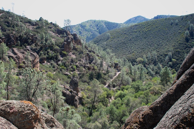 More of the trail.
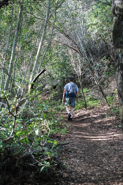
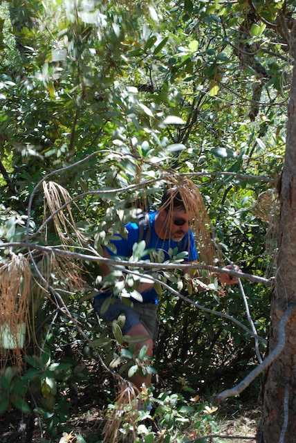
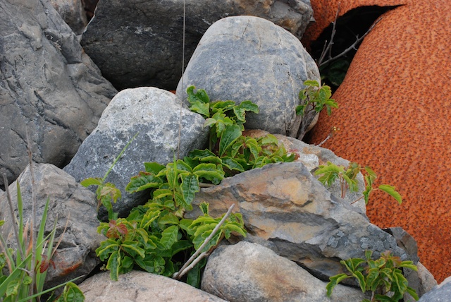
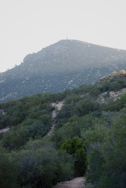
 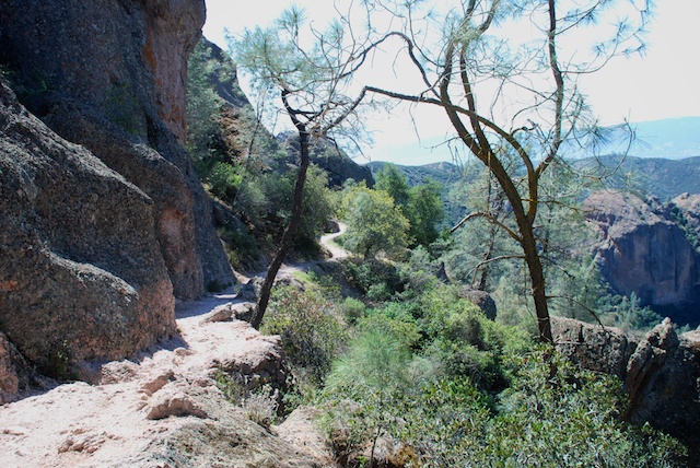 This is coming around the west side of those peaks. The vegetation was somewhat different than that of yesterday's hike except for one plant.
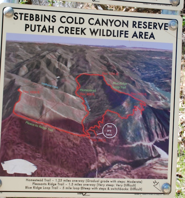
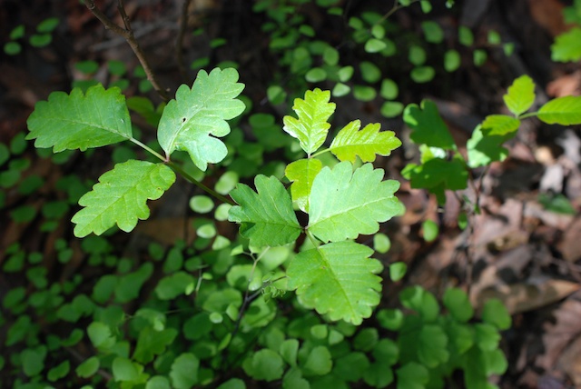
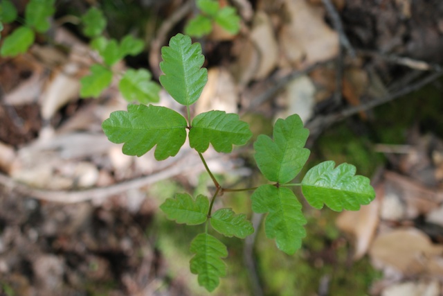
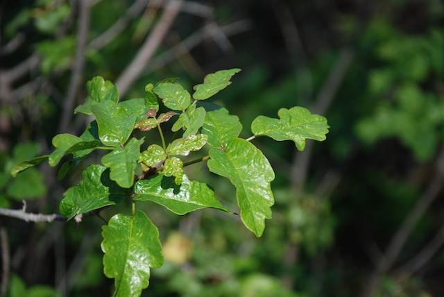 There was plenty of poison oak, although these trails are wider than those on our Stebbins Cold Canyon hike so it's easier to avoid. I was struck by the beautiful shades of green in the poison oak.
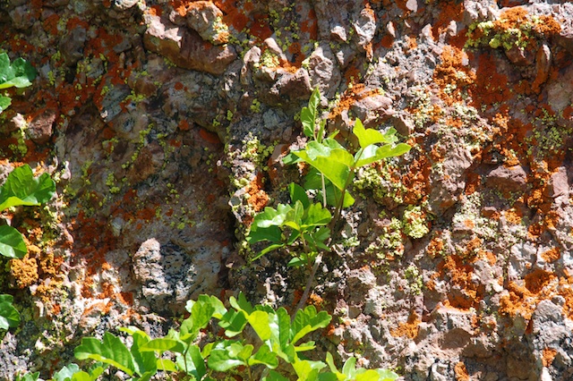 Color abounds.
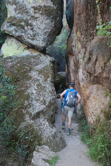
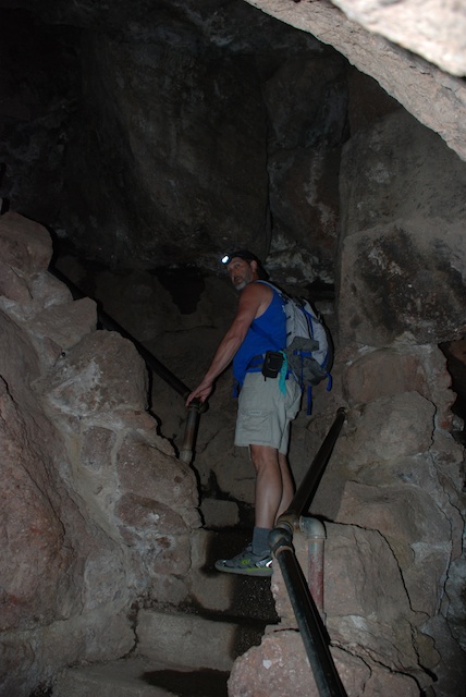
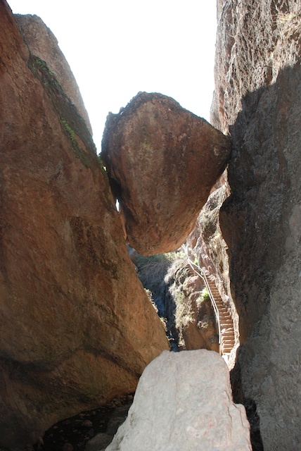
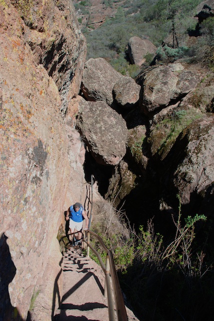
 This was an interesting trail. Notice that railing under the overhanging rock.
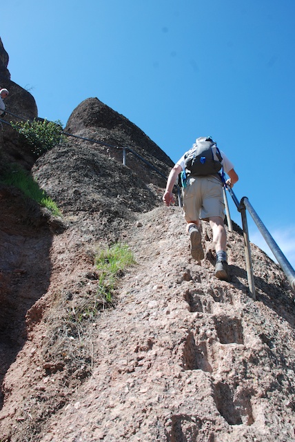 The Park Service (or maybe it was the CCC years ago) thoughtfully provided steps (and, thankfully, railings) so that hikers could get over these rocks.
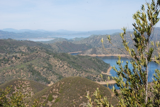
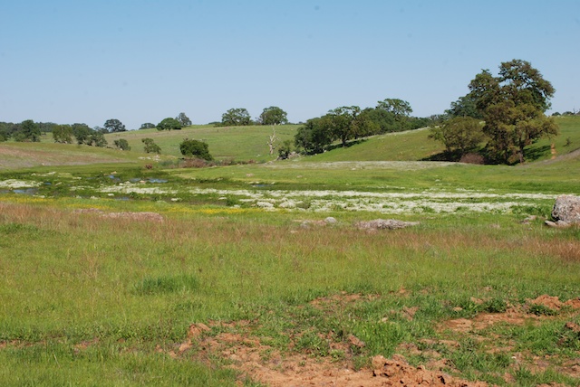
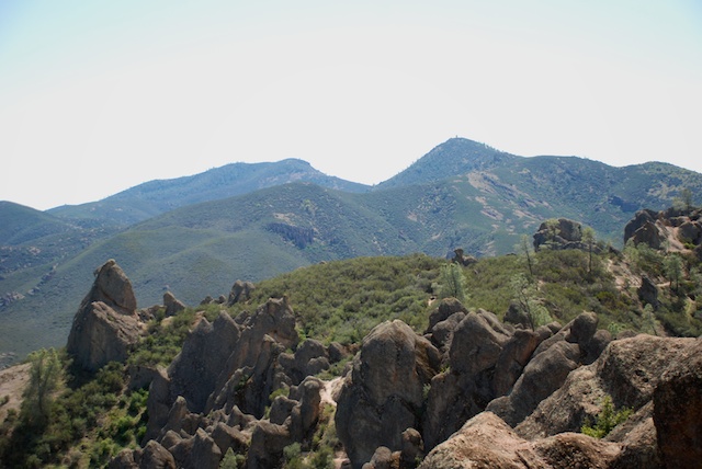 The views are worth the climb.
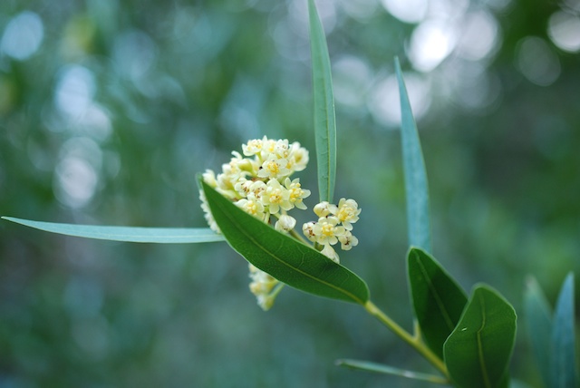
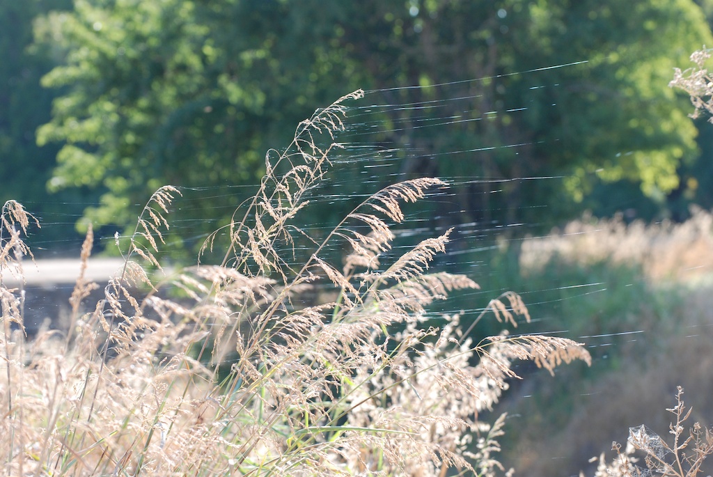
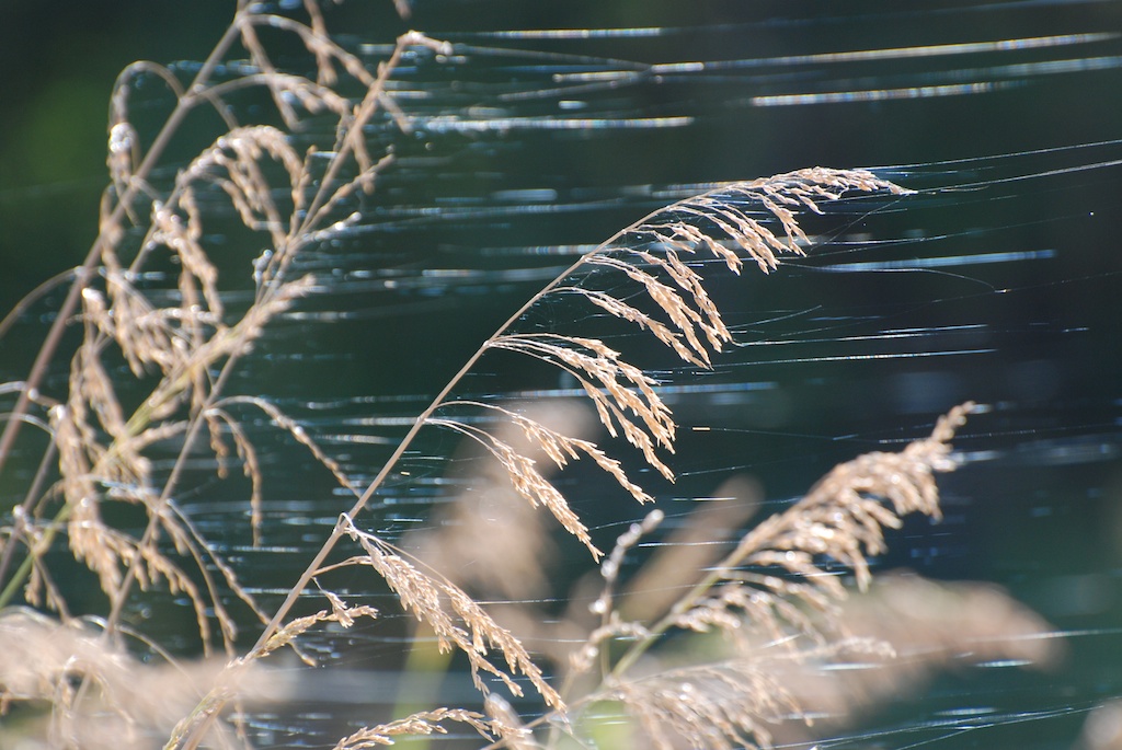
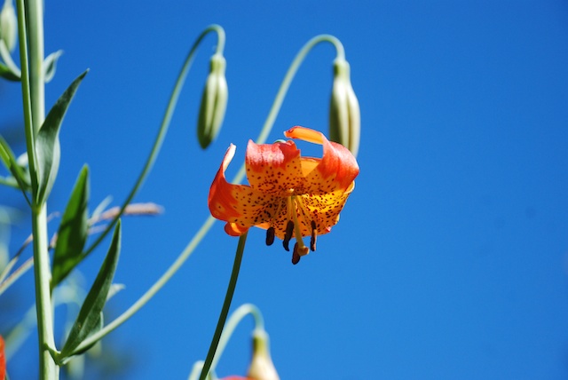
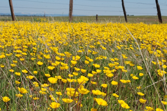
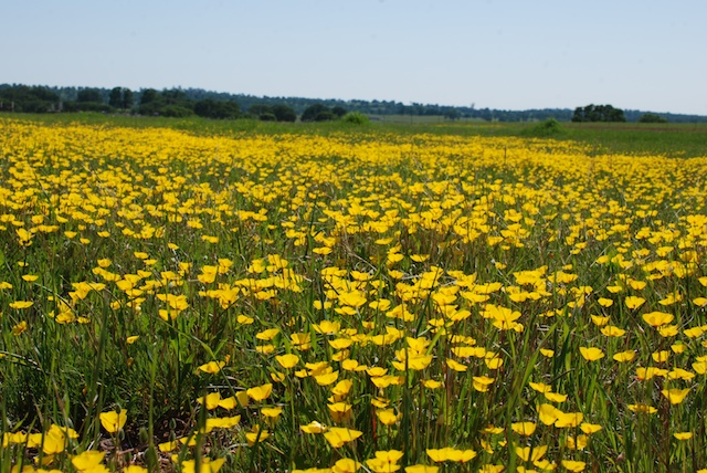
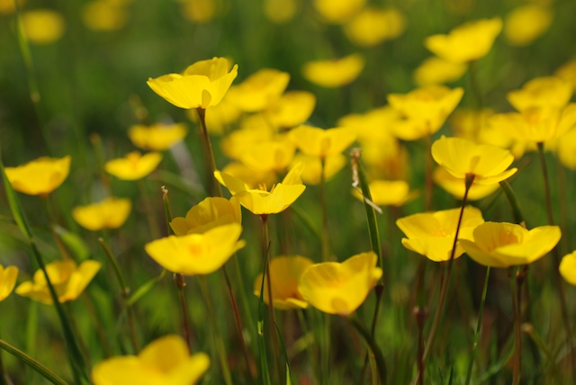
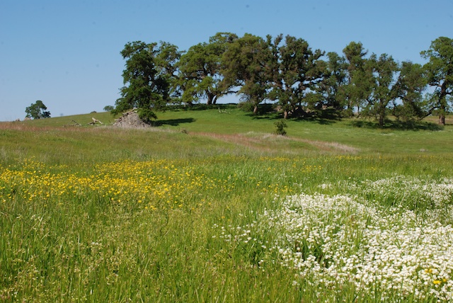
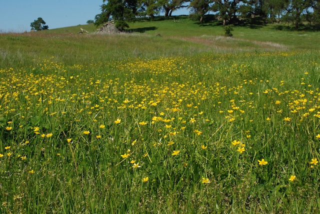
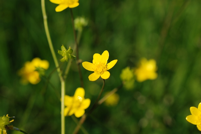
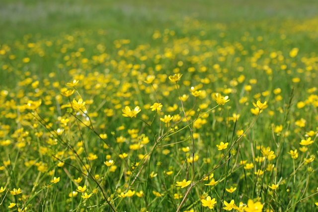
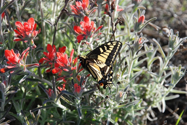
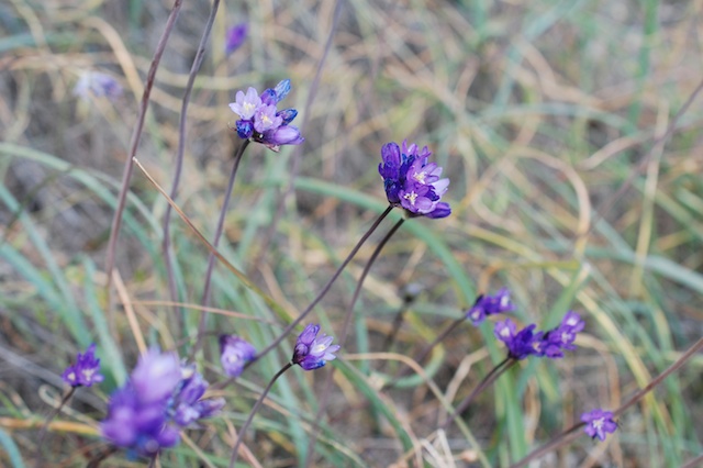 What would a hike for me be without a few flower photos? Believe me, I took many more than this even though, due to the dry conditions in Northern California, there was not the abundance of wildflowers that I think there would normally be at this time of year. I think I have identified this as a patch of California Gilia (Gilia achilleifolia).
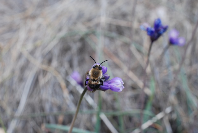

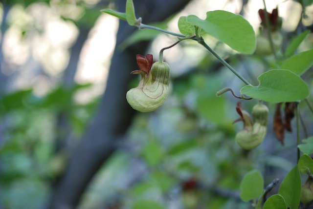
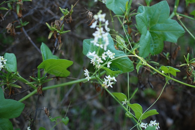
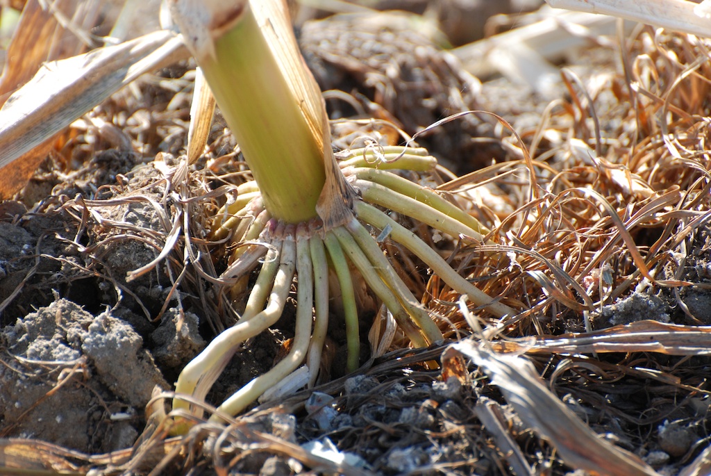
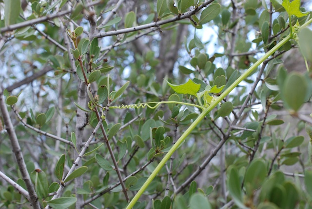 I think that this plant is Wild Cucumber or California Manroot (Marah macrocarpa). What we noticed on this hike is that the spiralling tendrils that look like a telephone cord (yes, that dates me) start out straight. When the straight tendril touches something it coils and hangs on. Amazing.
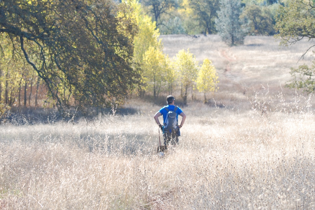
As usual I tried my hand at wildlife photography. Those bee photos are the only ones I'll show. The bunny, the crow, and the lizard weren't all that great. The condor look-alike perched on a branch turned out to be a buzzard when I looked at the photo close-up. 
This looks like condor country to me… …but this was the closest I got to a condor. Good trip anyway.
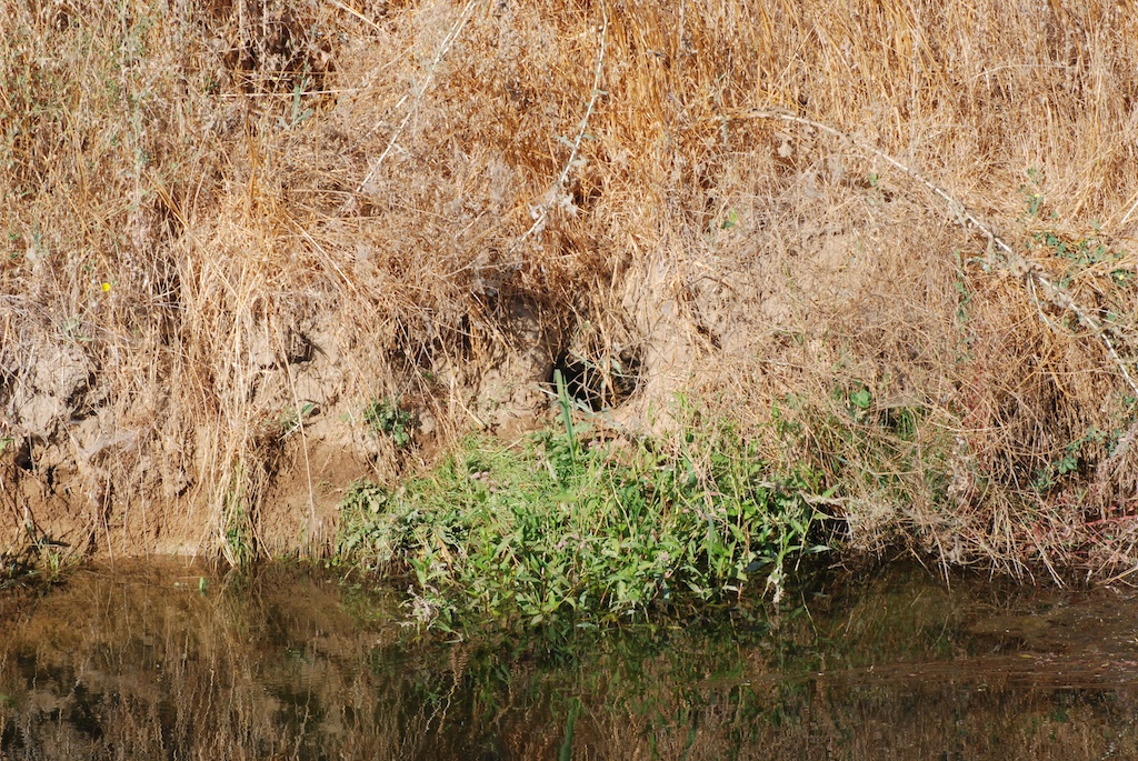
 We walked down to the American River at the spot that M & K call Rope to the River.
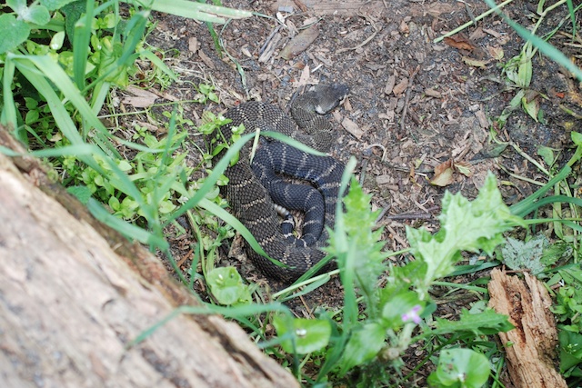
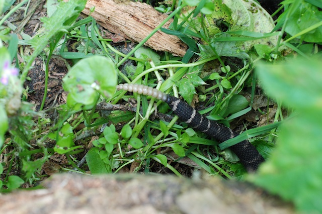
 Look at what we found at the bottom.
 I looked up ladybugs later and read that they hibernate this time of year and cluster together for warmth, finding any cracks that they can, even in houses. I think that I'd rather see them in the forest than in the house.
 The day was warm, but In the shaded areas at the river where the sun is too low to hit now there was still frost.

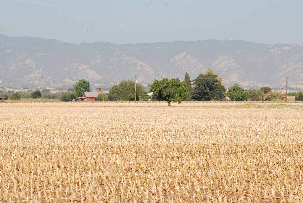
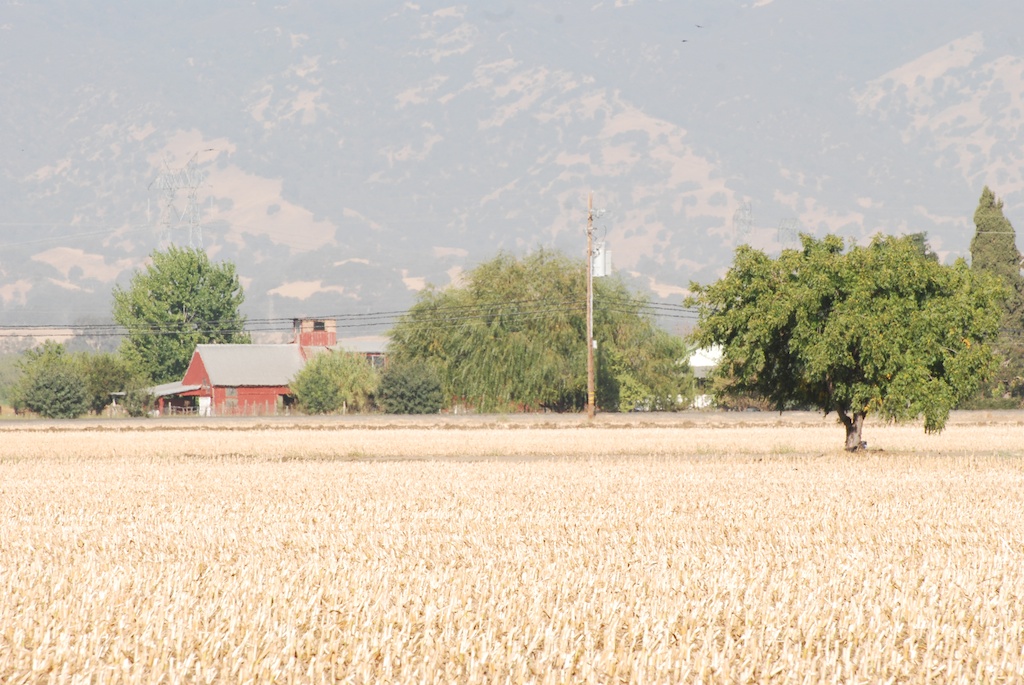
 This is Big Hill, where Matt's helicopter is based. (Well, he doesn't own it, the USFS does, but he'll be working there again in January.)


 As I've said in
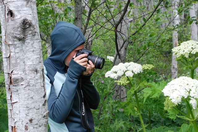
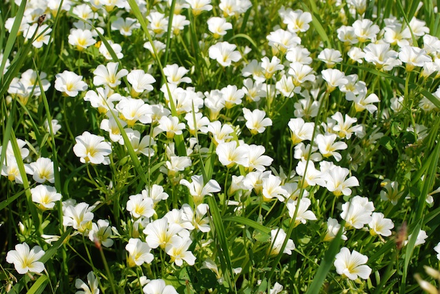
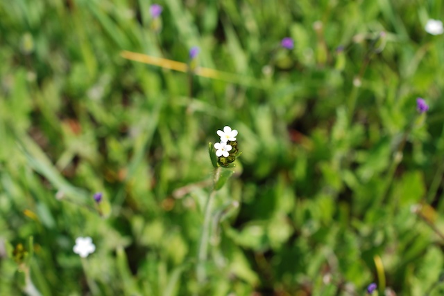 When I saw this popcorn flower popped into my head (unintentional pun) but I don't know if that is correct.
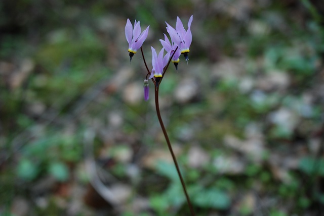
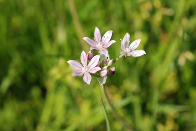 And what about this one? A Brodiea species?
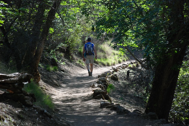
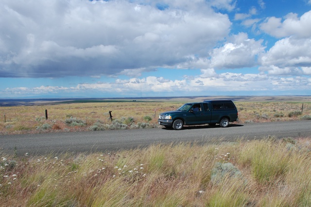
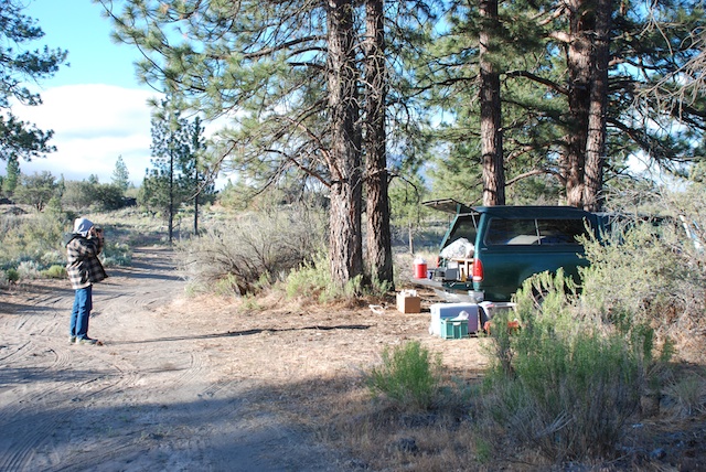
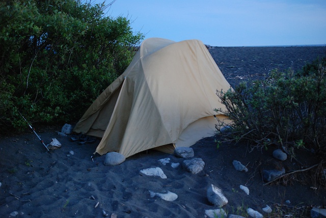
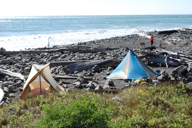
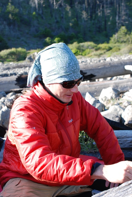
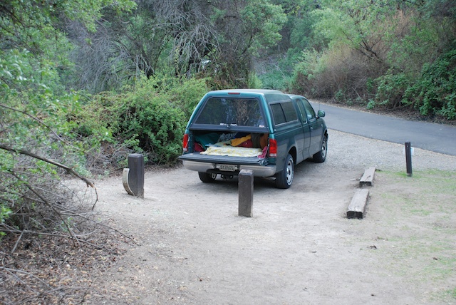 We used this one-night camping trip as a trial run to see how we liked sleeping in the old green truck because we are thinking about a road trip during the summer. It wasn't like home, but was much better than sleeping in the back of the Explorer at the Grand Canyon a few years ago.