Road Trip to CO - Gunnison to Durango
/We left home on Wednesday and planned to get home on the following Wednesday. This was Monday. We had driven the road north of the Gunnison River the day before and camped near the Blue Mesa Dam.
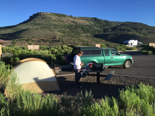
This campsite was essentially a parking lot for RV's, but we just needed a place to eat and sleep so it worked.
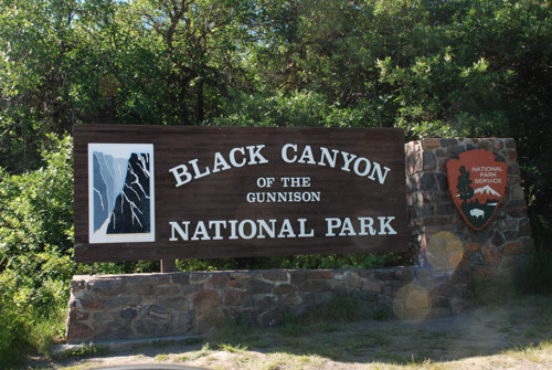
The Black Canyon of the Gunnison became a National Monument in 1933 and was made a National Park in 1999, over twenty three years after I spent a summer in the area. It contains 14 miles of the canyon's total 48 mile length.
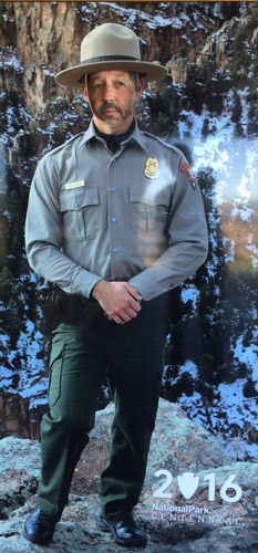
I guess they'll take anyone as a Park Ranger.
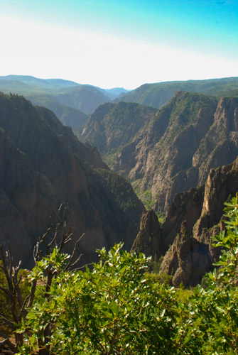
The canyon is so deep and narrow due to the power of the Gunnison River as it drops an average of 96 feet per mile. The Gunnison loses more elevation in the 48 miles of the canyon than he Mississippi River loses in 1500 miles.
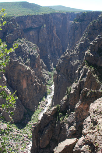
It is a sobering thought that the power of this river is forever harnessed due to up-river dams that lessen seasonal flooding. Therefore, build up of sandbars and more vegetation has changed the ecology of the canyon.
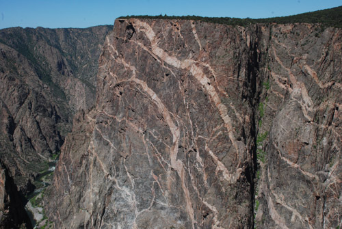
The Painted Wall was created over a billion years ago when molten rock flowed into fissures in the dark wall.
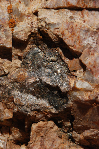
That molten rock cooled into crystals of mica, quartz, and feldspar. Amazing patterns were revealed as the river cut through the rock, forming the canyon.
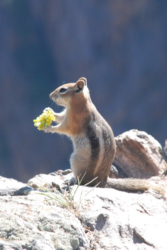
Breakfast with a view.
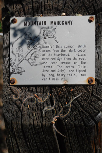
I enjoyed the signs along some of the trails to help with plant ID.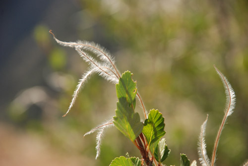
I recognized this bush with it's remarkable fuzzy seed dispersal method, but couldn't quite find the name in the recesses of my brain. Mountain Mahogany.
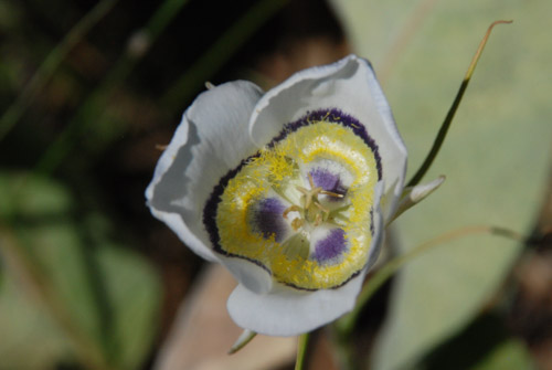
I also recognized this as in the Mariposa Lily family. It's called Gunnison Sego Lily.
We spent half the day exploring the canyon from the rim. There are no trails to the river in the Park. We saw a couple of trails when we drove along the north rim east of the Park, but they are not for the feint of heart or casual hiker. The rim views are spectacular enough. But we had limited time and needed to get on the road.
In the summer and fall of 1976 I worked for the BLM in Montrose, Colorado. I had fond memories of renting a bunk house on property between Montrose and Ridgeway and spending weekends exploring the old mines and alpine meadows in the beautiful San Juan Mountains. I had never been back, but wanted to use this opportunity to drive through that country.
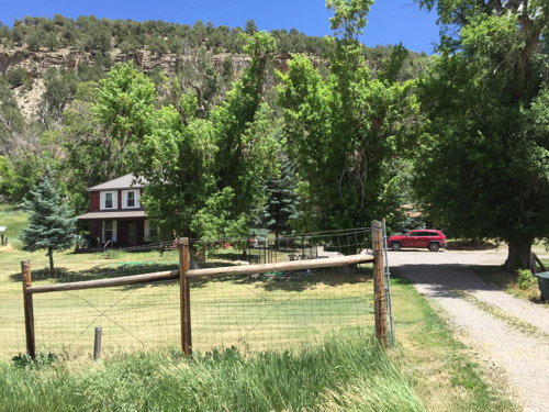
As we were driving down Hwy. 550 I wondered if I would recognize the place. The highway followed the Uncompahgre River but was on the wrong side of the river. Surely I would have remembered living right next to a major river like that. My memory was that the bunkhouse was up against a bluff and just south of the big house. We got to a point where the river shifted course for a brief period to the west side of the highway and there it was. I'm glad to see that they place hasn't been torn down and, in fact, looks as though it has been fixed up. The bunkhouse is just behind the red truck and, yep, there is a bluff behind it.
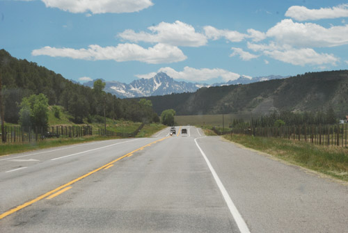
The view heading south from the house. Not a bad place to spend a summer...or a life (if you can deal with snow).
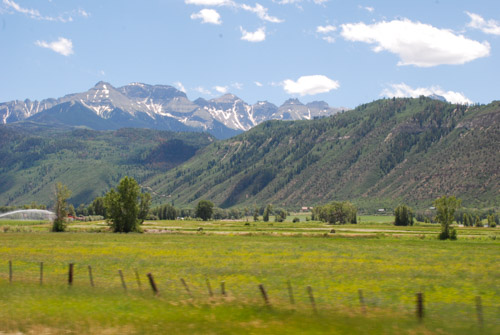
We drove south into the San Juan Mountains.
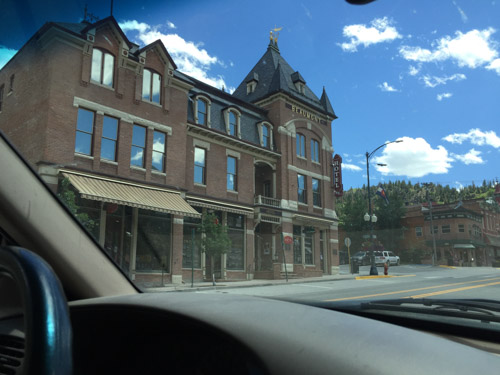
I have memories of driving to Ouray and heading out from there towards Telluride to explore the mountains. I don't think that these towns had the tourist appeal then that they do now.
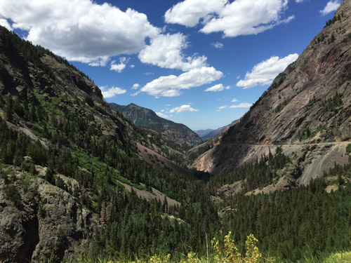
This is one of the most gorgeous places I can imagine. It's hard to get photos that do it justice.
From dangerousroads.org "In the state of Colorado...there’s a special highway built in the late 1880's: the Million Dollar Highway, part of the San Juan Skyway. It's one of the nation’s most spectacular drives...The road's winding design, providing stunning panoramic views, is very curvy and fun for a leisurely ride, so it pays to take it slow. Offering breathtaking mountain, valley and gorge views, the Million Dollar Highway is one of the most beloved roads in the country. This classic stretch of two-lane blacktop snakes its way through the San Juan Mountains, the wildest and most rugged peaks in the Rockies."
From another website: "Originally built in 1883 by Otto Mears as a toll way from Ouray to the now abandoned town of Ironton, this two lane highway offers spectacular views of the San Juan Mountain Range, and Uncompaghre Gorge. The road was extended to connect Silverton and Ironton over Red Mountain pass, and operated as a toll road until the early 1920’s when it was rebuilt and became part of the present day US Highway 550."
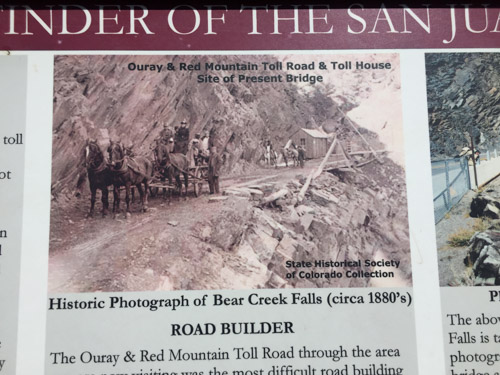
Can you imagine the road when it was first built?
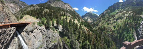
Here a a panoramic view of the modern day bridge over Bear Creek Falls.
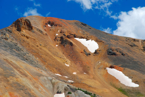
Originally the road connected Ouray with the Red Mountain Mining District to the south.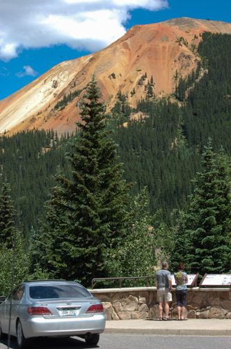
There are signs overlooking the site of the Yankee Girl Mine, one of the richest concentrations of silver ore found in the U.S. It started in 1882 and produced ore valued in today's market at over one hundred million dollars, but lasted only about 16 years.
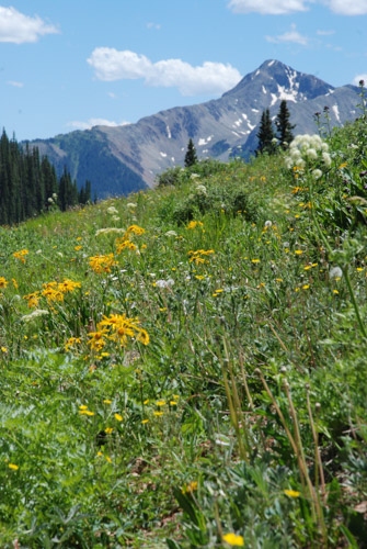
Just more pretty scenery.
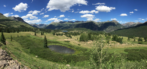
This is taken from Molas Pass (10, 910'), the second of three passes on this highway going towards to Durango.
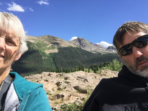
Loving the mountains.
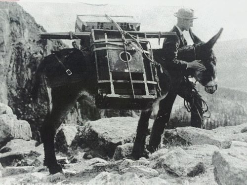
Fortunately I don't have to carry my camera gear the way William Henry Jackson did when he documented the West.
Onward to Mesa Verde where we would spend the night.

