Road Trip to Colorado--Tonopah to Moab
/After the tire problem the night before (this blog post) we knew that before we drove farther we needed to buy new tires.
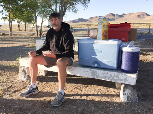
We had driven to a rest stop just west of Tonapah, Nevada, where we spent the first night of this trip.
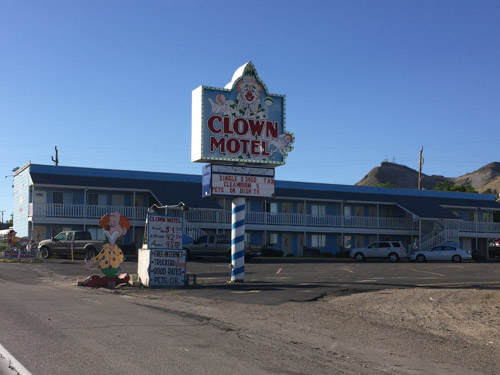
We drove through town looking for a tire store and I remembered this motel from a previous trip through Tonopah when we were looking for a motel late at night. We chose something that did not advertise clowns. Sorry, Clown Motel.
Most of the rest of these photos are DBP (drive-by photography). The goal was to get to Arches National Park or close to it so that we would have all of Friday to spend at the park.
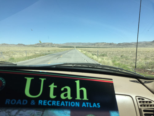
Dan likes to drive and that's fine with me. I keep myself amused with following along on the map or with the phone (if there is service...which there wasn't for a lot of this trip) and by taking photos.
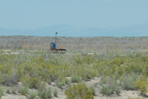
We saw these "things" regularly spaced on both sides of the highway for several miles in Millard County, Utah. All we could make out was what looked like solar panels on a framework and we speculated as to what they were--we decided that they were to monitor or measure something, but what? As we drove into Delta, Utah we just happened to see several of them in what looked like a parking lot beside a building that said Cosmic Ray Center. I googled "cosmic ray delta utah" and found a lot of references to the Telescope Array Project: "The Telescope Array project is a collaboration between universities and institutions in the United States, Japan, Korea, Russia, and Belgium. The experiment is designed to observe air showers induced by cosmic rays with extremely high energy. It does this using a combination of ground array and air-fluorescence techniques. The array of scintillator surface detectors samples the footprint of the air shower when it reaches the Earth's surface..." OK, you lost me. At first I wondered if this was for real (thinking of driving through Roswell, NM last year with it's focus on Aliens) but I guess it is. Who knew what we'd learn on the road?
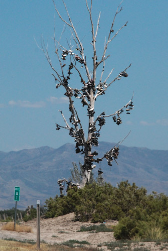
I also learned from googling, that "Shoe Trees" are a real thing, although of less lofty impact. There will be more about this in a future blog post.
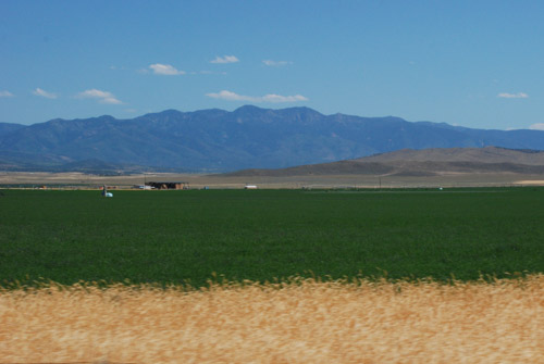
Where there is water the desert is held at bay. There were plenty of alfalfa fields throughout this valley in Utah.
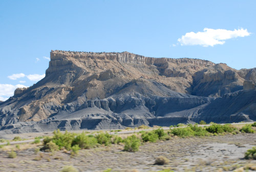
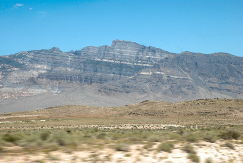
Towards the east the patterns and rock formations were impressive...
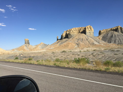
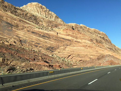
...and we began to see "red rock country".
This is U.S. 50 in central Utah, which is known as the "Loneliest Road in America". I just looked this up and now I understand why there is a sign in Sacramento for Ocean City, Maryland (see my first blog post for this trip). U.S. 50 is also one of the longest highways in America, going between Sacramento and Ocean City. I always thought that it was just because someone in the Sacramento Highway Department has a sense of humor.
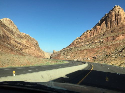
We drove U.S. 50 to Highway 191 where we turned south to Moab. Arches National Park is just east of the highway and north of Moab and seeing the spectaular scenery whetted our appetites for the next day's adventures.
It was late though and we needed to stay somewhere. Arches N.P. has very few campsites, but there are several in the Moab area. We found a BLM campsite on the Colorado River right outside of Moab.
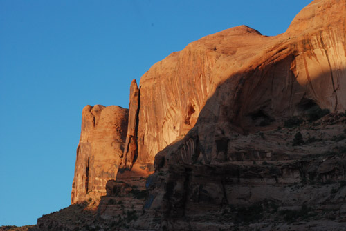
The sun was going down, giving intensity to the red rock cliffs.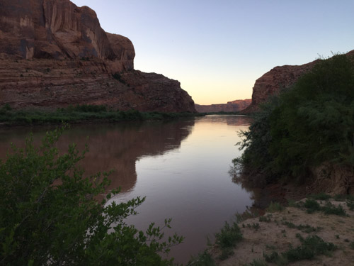
The campsite was right next to the river. River + Dusk = Mosquitoes. They were relentless. 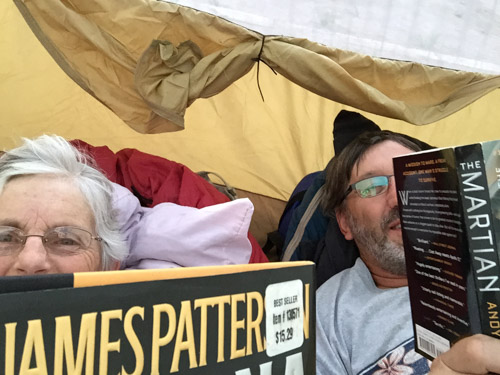
We quickly set up our tent and retreated until after dark when we ventured outside to heat up a couple of cans of chili.
