Road Trip to Texas - Day 8
/After our visit to the Alamo two days before we were ready for another trip into Texas history. We headed a couple of hours southeast to Goliad State Park, the location we knew as the site of the the 1836 Goliad Massacre, when General Santa Ana ordered the murder of Texas soldiers who had surrendered. But there is much more history than that.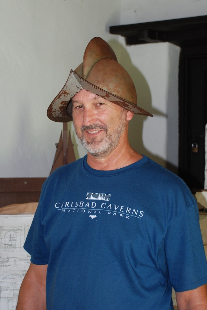 Our first stop was at the Mission Espiritu Santo, built in 1722, moved in 1749 to it's current location, and restored in the 1930's by the CCC, where the Spanish began "civilizing and Christianizing" the native people with the intention of making them Spanish citizens and, in doing so, destroyed the traditional cultures of the three tribes. Eventually ranching became the main occupation and there were thousand of cattle and horses on the mission lands.Some of the original limestone walls exist and are left unplastered here.
 We entered the church through the Door of Life and left it through the Door of Death.
Dan tried on a replica of a Conquistador helmet.
We entered the church through the Door of Life and left it through the Door of Death.
Dan tried on a replica of a Conquistador helmet.
 Kirby seemed unimpressed.
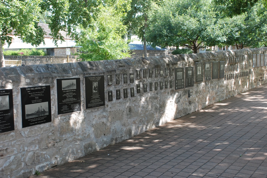
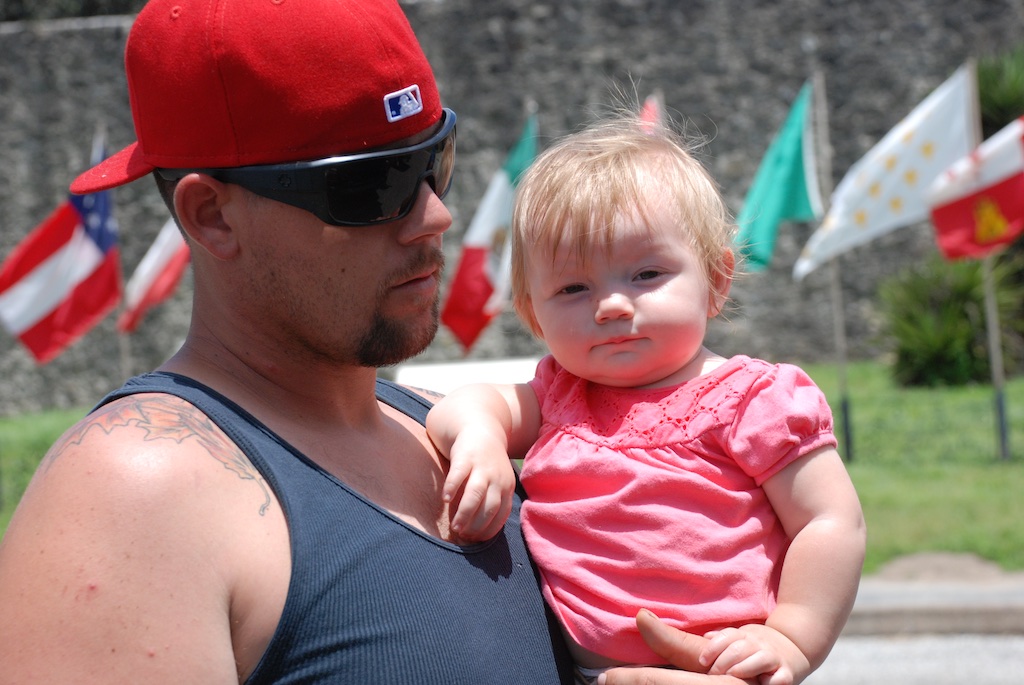 There was a short nature trail outside the mission. I later identified this huge insect as a Horse Lubber grasshopper. Yikes!The next stop was just across the San Antonio River, at the Presidio La Bahia,"the only Spanish fortress for the entire Gulf Coast from the mouth of the Rio Grande to the Mississippi River" (Wikipedia)Nine flags indicate the changes in control of the region.Kirby and Kurtis outside the Presidio.
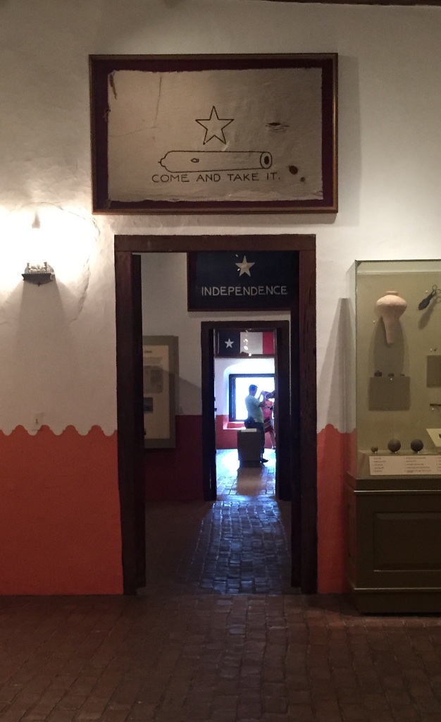 There was a 15 minute film about the historical events at Goliad but Kirby wasn't ready to sit through that. So I took Kirby through the Presidio building where you can walk through a timeline of the history.
  After our tour of the Presidio Dan and I sat in the shade while Katie fed Kirby lunch in the air-conditioned car. Look at what I saw on the ground under this tree:First I noticed the red beans. Then I saw that they came out of these pods that, honestly, look like something I'd clean up in my yard full of dogs. Later I googled "red beans from tree in southern Texas" or something like that and found that this tree is the Mescalbean or Mountain Laurel, not related to the alchoholic drink, but still with psychoactive properties.
Tired girl after a long drive and a lot of sight-seeing.
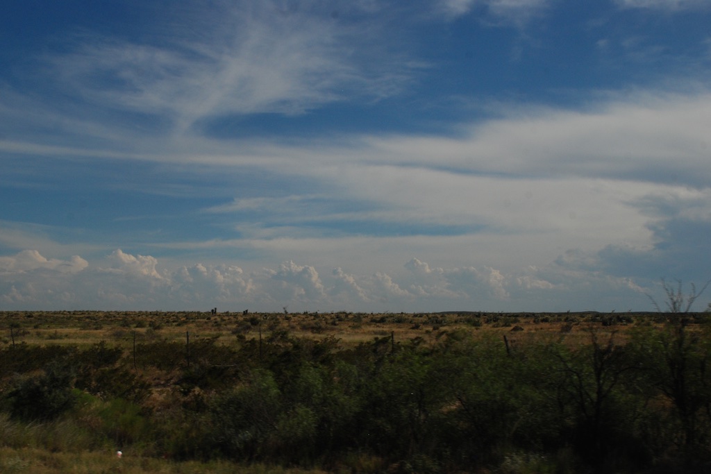
 Just as we had seen in northern Arizona and New Mexico everything was green. Summer monsoons are the norm, but there have been several dry years so this particularly wet year is a welcome change. However there can be too much of a good thing. We saw the signs on the Blanco River of the recent high water and were amazed at just how high it was.
  Katie and Kurtis live on high ground between Blanco and Wimberly (where the horrific May flooding swept houses and people away) so they were in no danger. This wash just down from their driveway has running water now but during the flooding was many feet higher and impassable. Hard to imagine.
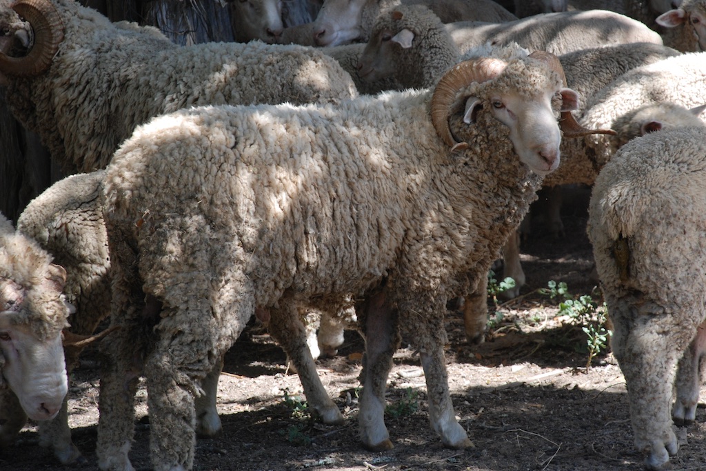 ...the rams...


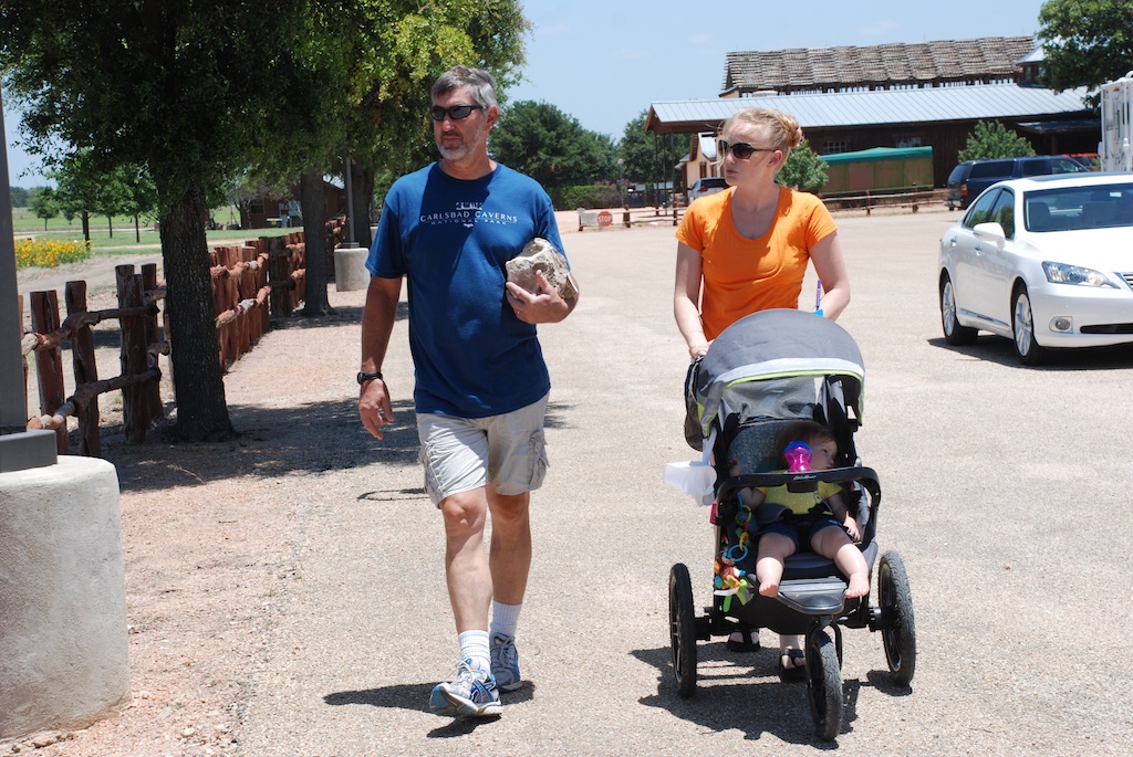


 First we stopped at Katie's office and went to lunch with her co-workers. Then we drove to San Antonio.
 The Alamo site is an interesting juxtaposition of the old and the new. The lower stone wall surrounds the Mission grounds.
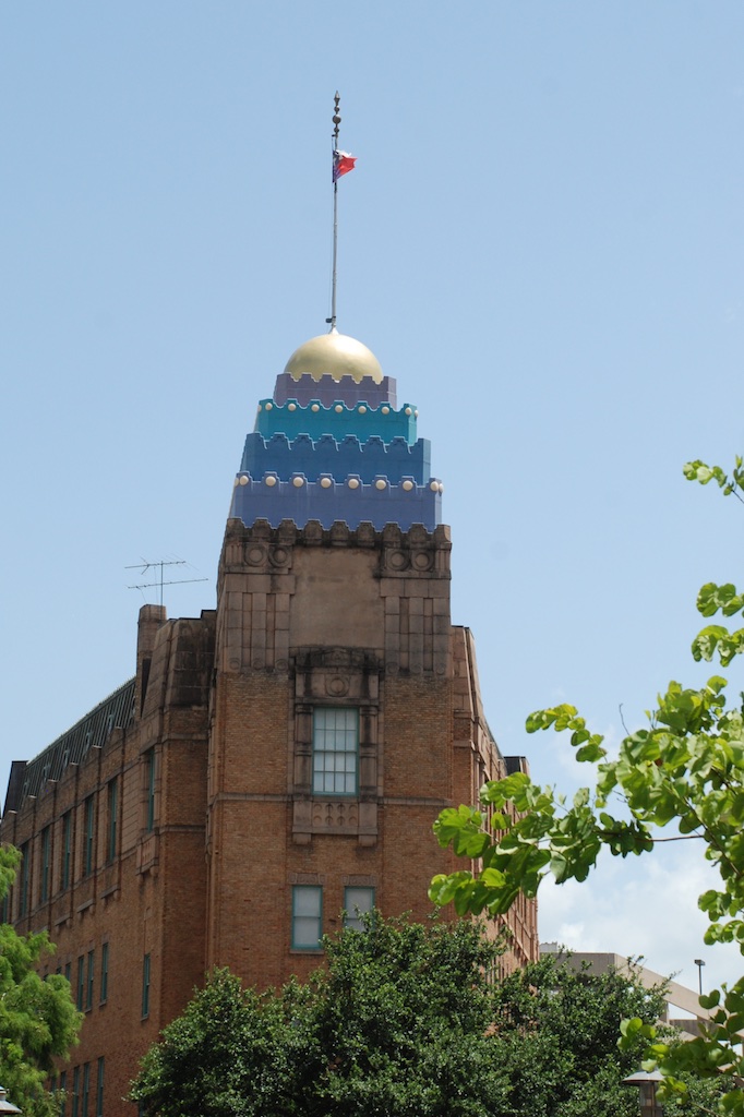
 The Alamo site encompasses a block in downtown San Antonio with newer buildings rising around it.


 After a long drive and a lot of walking around in the heat what better way to end the day?
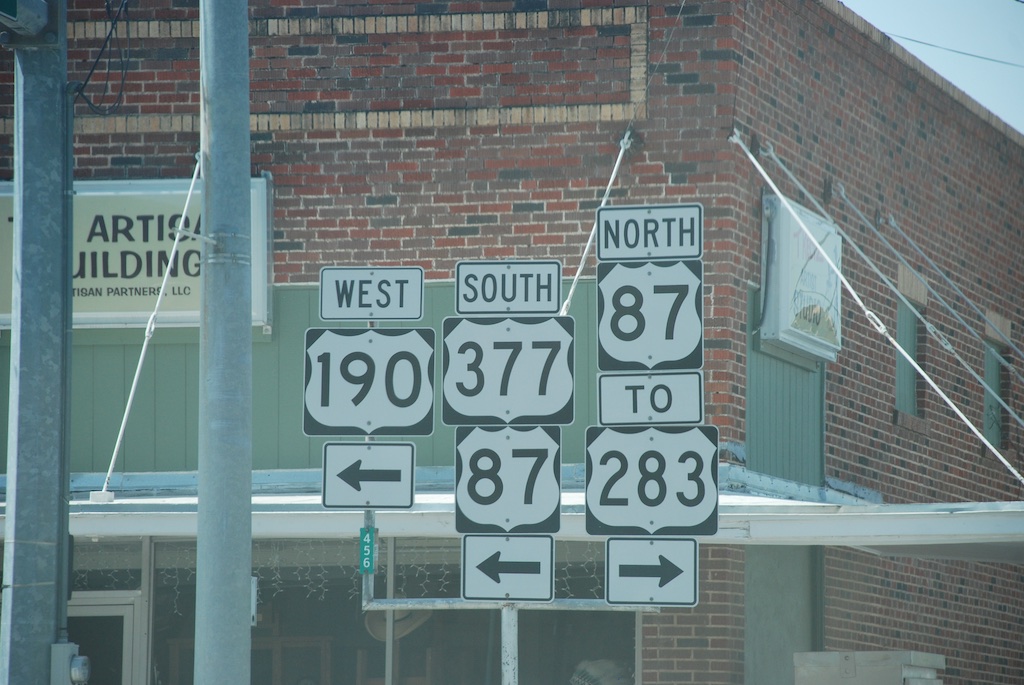 I don't have many photos. I snapped several from the moving truck, but although some of the scenery ones are passable, it was hard to get much in town when driving through.
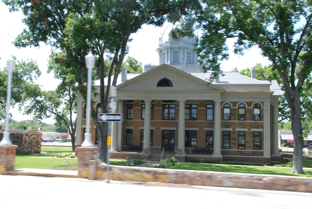 I must say that the iPhone has given me a new way to travel. We like our big map books with one book for each state. I kept that open on my lap but I continued to look up towns we passed or things listed on the map that weren't there anymore. We garnered a lot of history that way.
 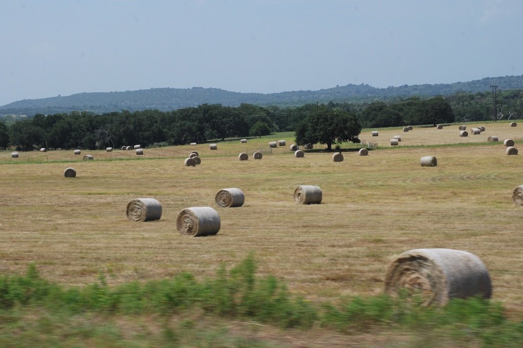 This photo doesn't look especially green because the field has just been baled but there is a bumper crop of hay.
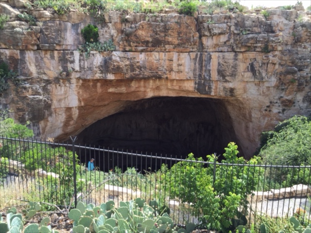
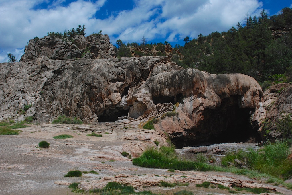
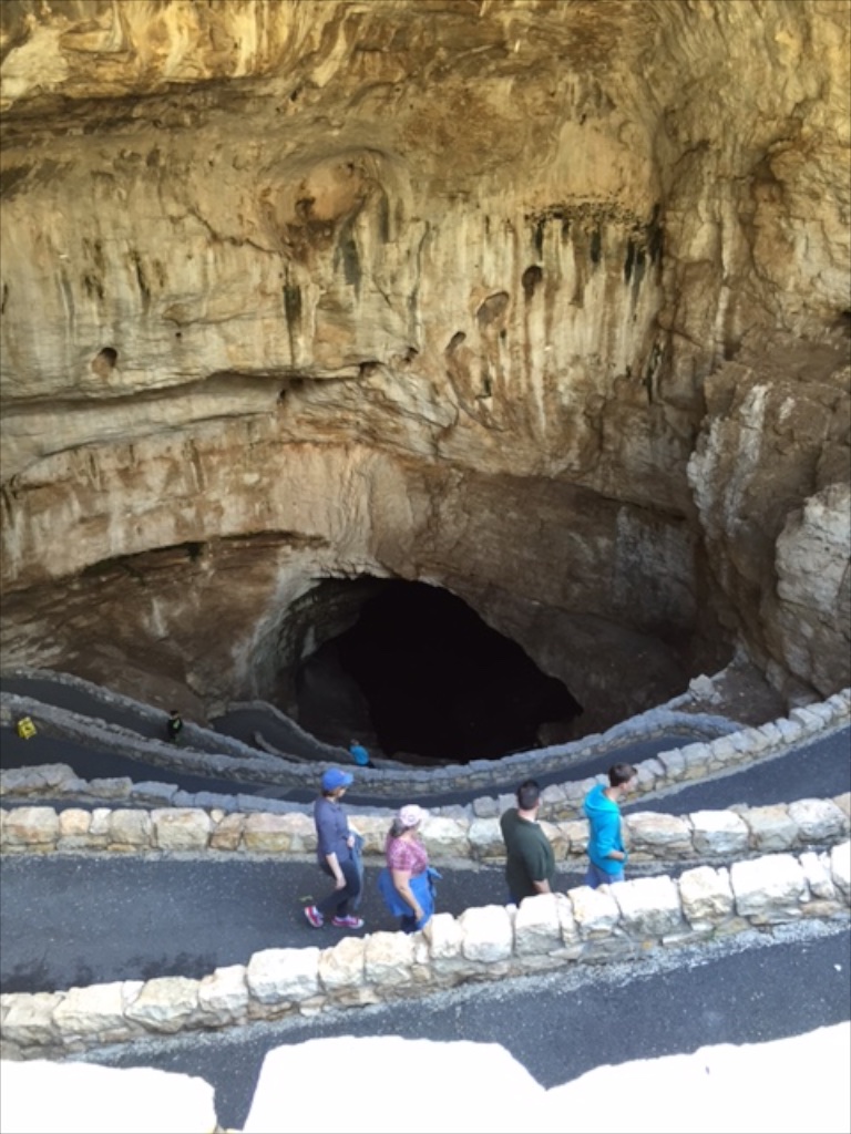 The bats roost inside the cave in an area closed to the public. Cave swallows roost in the entrance.
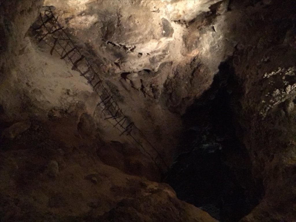


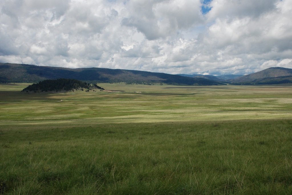
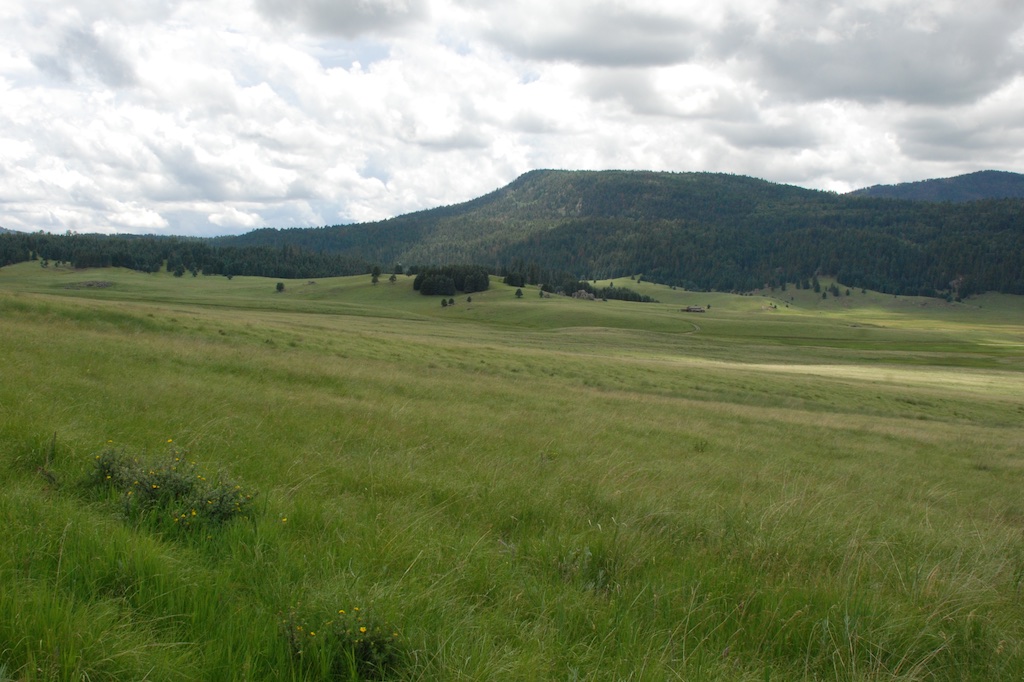 According to the sign we were standing on the rim of a collapsed super-volcano, 12 miles in diameter and magma is only 5 miles beneath.
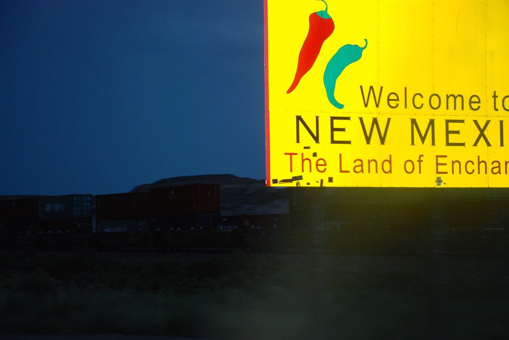
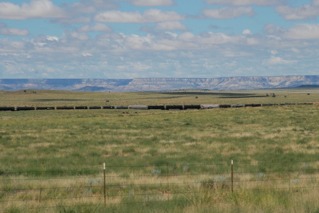
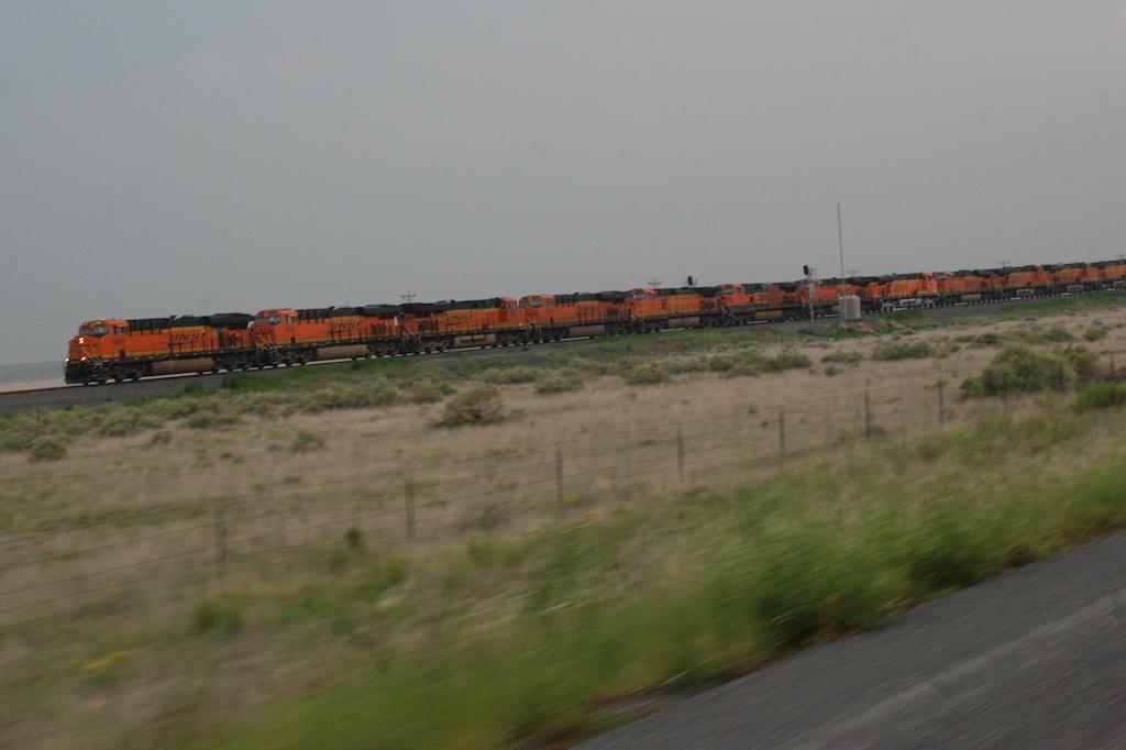 Another train view but this is a train made up of a dozen engines. We saw this the previous day also. Mulitple engines are used to pull (and push?) trains up the long grades and I guess they send those engines back to be ready for the next train. Many hours of driving later and about dusk we got to Roswell,


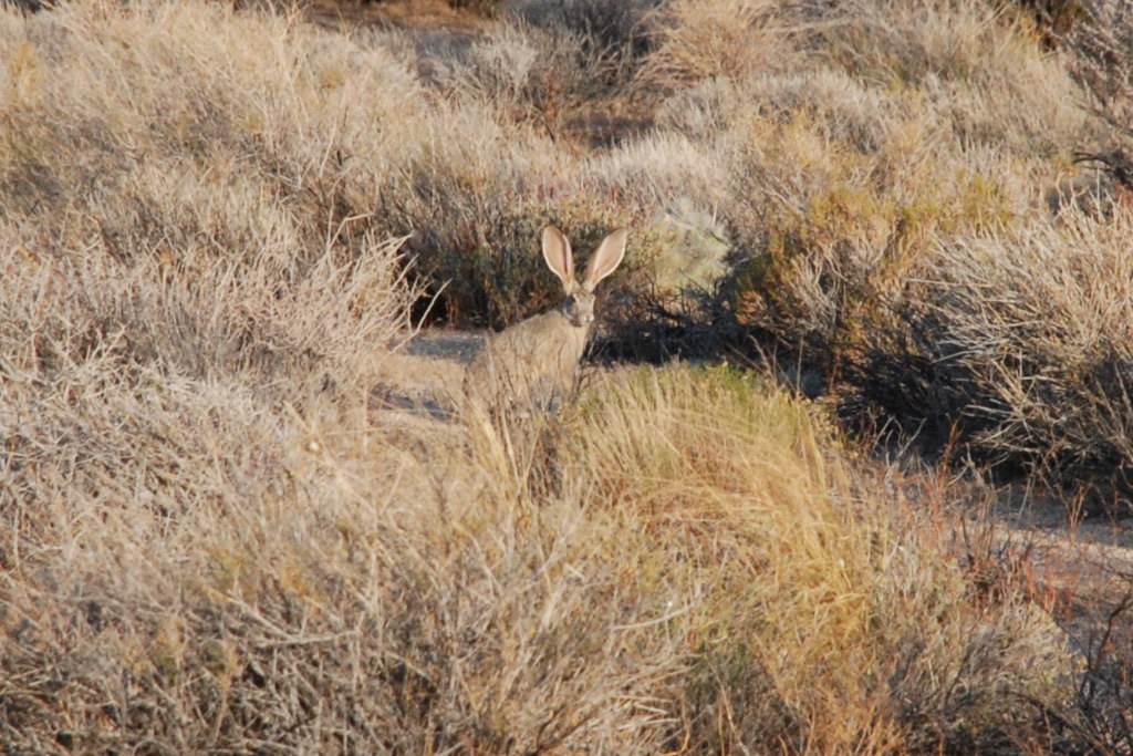 After stowing our gear we set off north to see what the town of Kelso looked like. Have you ever seen a sign with a flashing light that cautions you to watch for tortoises? I never had and I wish I had stopped for a photo. It was one of those things that I thought I'd do on the way back but we ended up making a loop through the preserve.