Road Trip to Colorado-Bodie & Beyond
/The first post about our trip is here. One the first day we made it to Bodie State Historic Park near the California/Nevada border with about an hour and a half before the park closed.
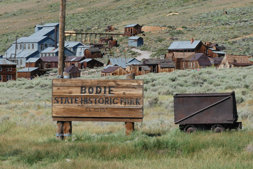
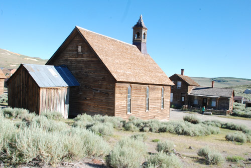
W.S. Bodey discovered gold here in 1859 but he died in a blizzard several months later, never seeing the town that was named for him (although spelled differently). A mine collapse in 1875 revealed a rich body of gold and the boom time of the town was during 1877-1881 when there were 30 mines, 9 stamp mills, and 60 saloons. As the boom years ended population declined quickly into the 1900's. Mining continued until 1942 and the family of the last major landowner continued to protect the town from vandals. In 1962 the CA State Parks purchased the town to protect it. It remains in a "state of arrested decay" without the intent to reconstruct it. The non-profit organization, The Bodie Foundation was created with the goal to raise funds to assist with stabilization of structures as well as education.
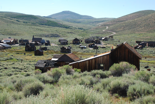
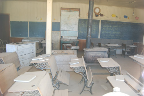
View of what is left of the town from above. At it's height there were probably 8000 people living here. There is an interesting mix of eras remaining--houses built in the 1870's, gas pumps from the 1920's, and a school that was used until 1942. 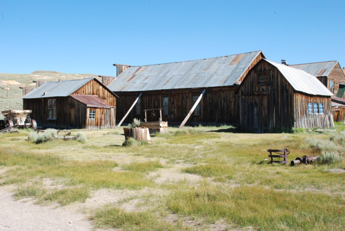
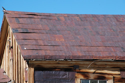
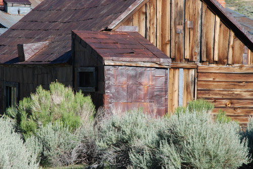
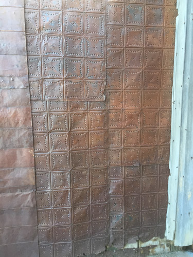
The walls and roofs of many of the buildings are covered with flattened tin cans.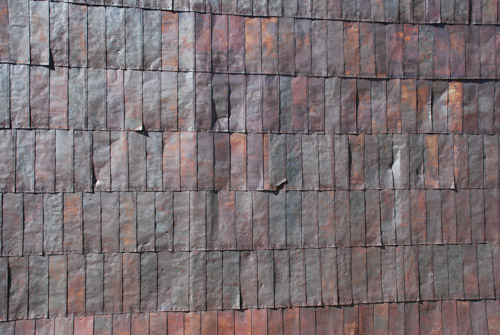
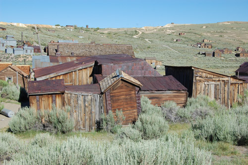
Dan took this photo because he liked all the different roof lines.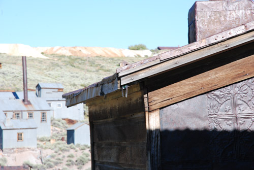
I like the design of the tin here, but I was really trying to take a photo of one of the violet green swallows that were zooming around. I got this one just as it flew into the corner of the roof.
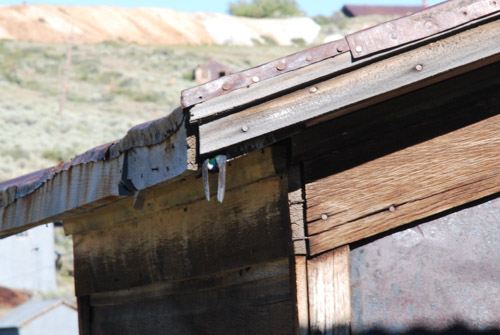
Do you see the wing tips under the roof line?
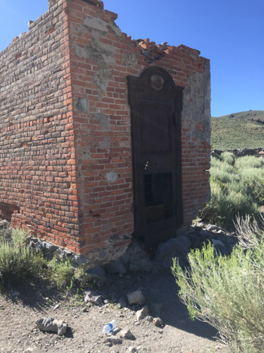
The brick vault is all that is left of the Bodie Bank after a fire in 1932.
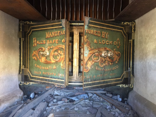
This is the safe inside the vault.
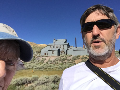
Due to safety concerns the Standard Consolidated Mining Company's Stamp Mill and other buildings are not open to the public except by guided tour. It is on the hill above the town and was only one of thirty mining companies in the district.
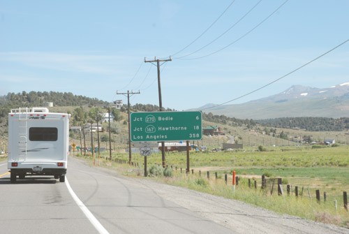
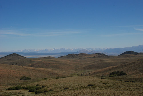
After our visit to Bodie it was time to get on the road and drive until we found somewhere we wanted to stay for the night.
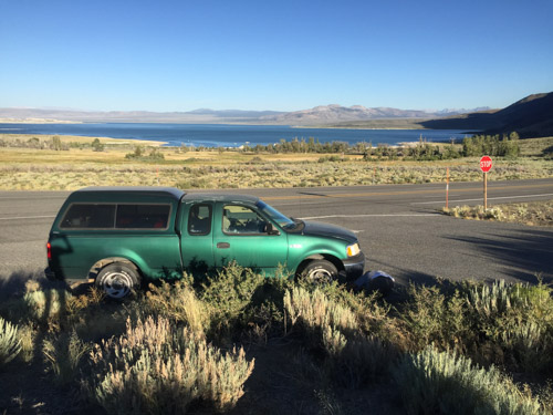
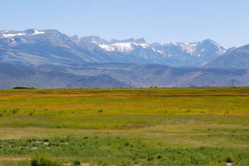
Coming down the mountain towards Mono Lake the truck rattled and shook every time Dan used the brakes. Then we heard a thwump, thwump. One of the front tires was beginning to shred, but fortunately still held air. Dan changed the tire and we knew that we needed new tires. It was too late to find anything near Mono Lake so we decided to continue on. We turned east and spent the night at a rest stop outside Tonopah, NV.
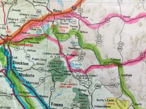
The lower pink line is the first day of this trip.
Next up: on the road to Arches National Monument.
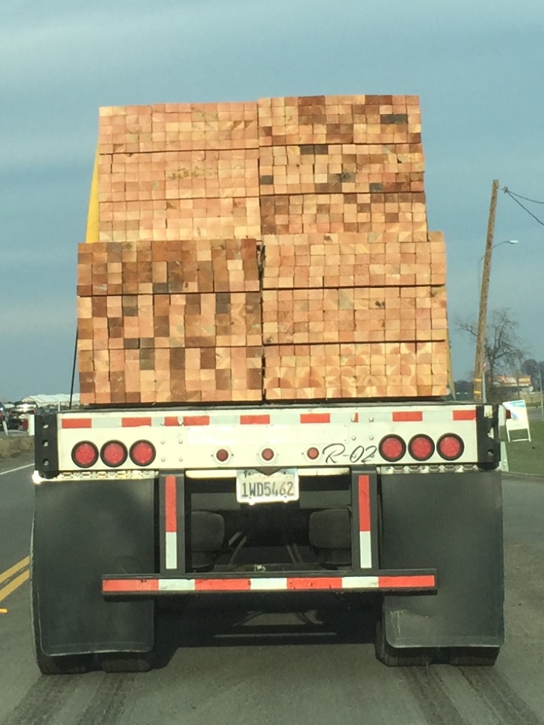 I liked the patterns of the wood. I especially noticed the part that doesn't show up very well here but the bottom right where the heartwood (I think) makes the half circles. Weaving ideas.
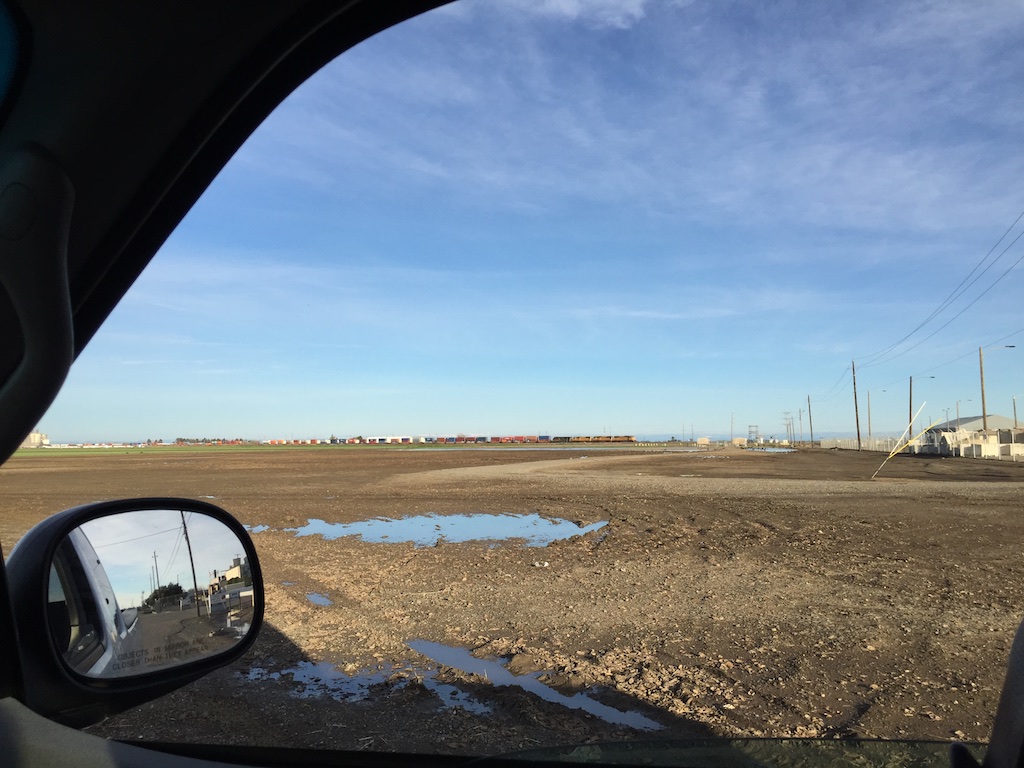 Also while driving. I was on Pedrick Road east of Dixon. I really wanted a photo of the snow-covered Sierras. It's been awhile since we've had that view. The lens on the phone makes the mountains too far away for that shot, but I like seeing the train.
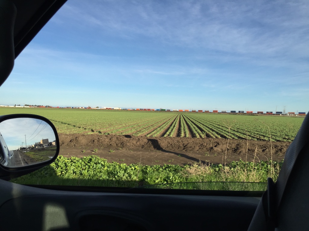 In this shot too.
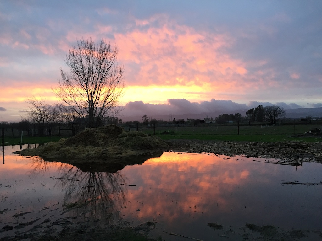 I may have shown this photo before, but I like this sunset view. It makes the mud and swampy "lake" worthwhile.
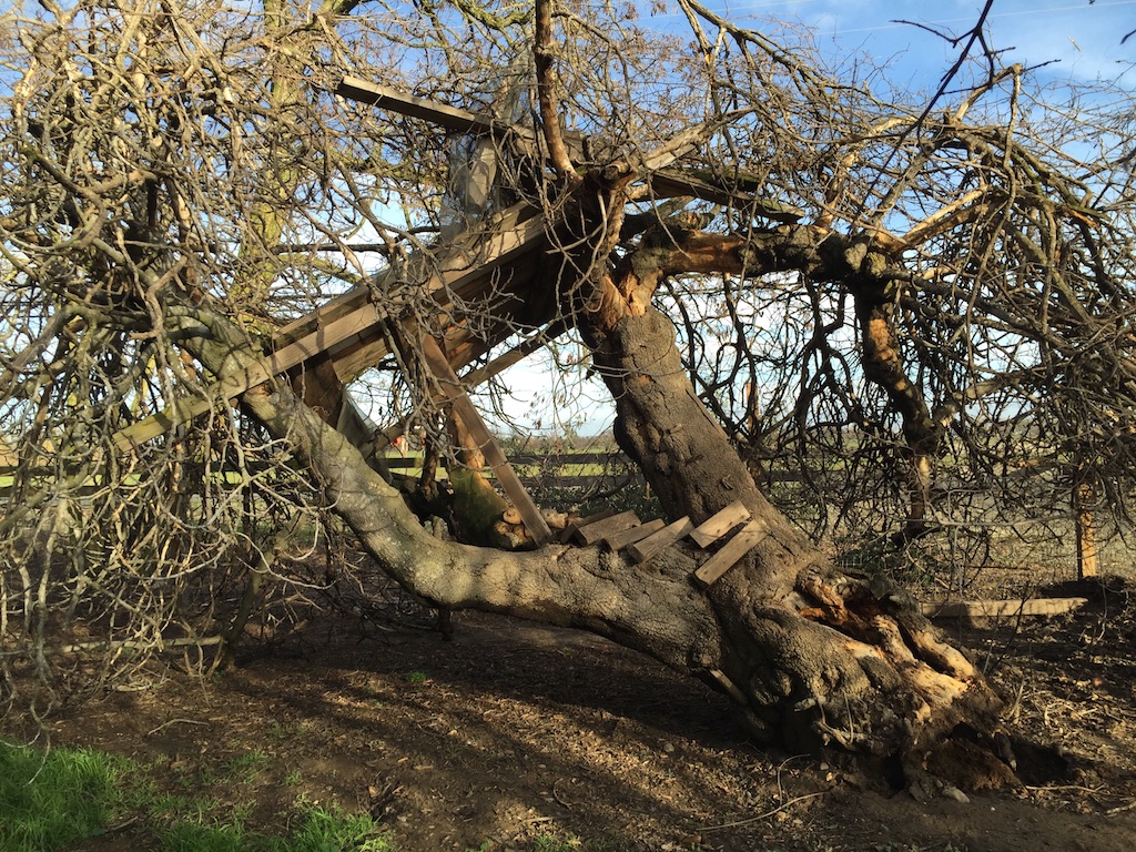 And speaking of lots of water, this was a result of the last storm that came through. This is a very old fig tree that the kids used to play in a long time ago. Note the steps and the treehouse platform. The roots of this tree have been rotten for some time and the dogs often found something to bark at in the hole in the trunk.
 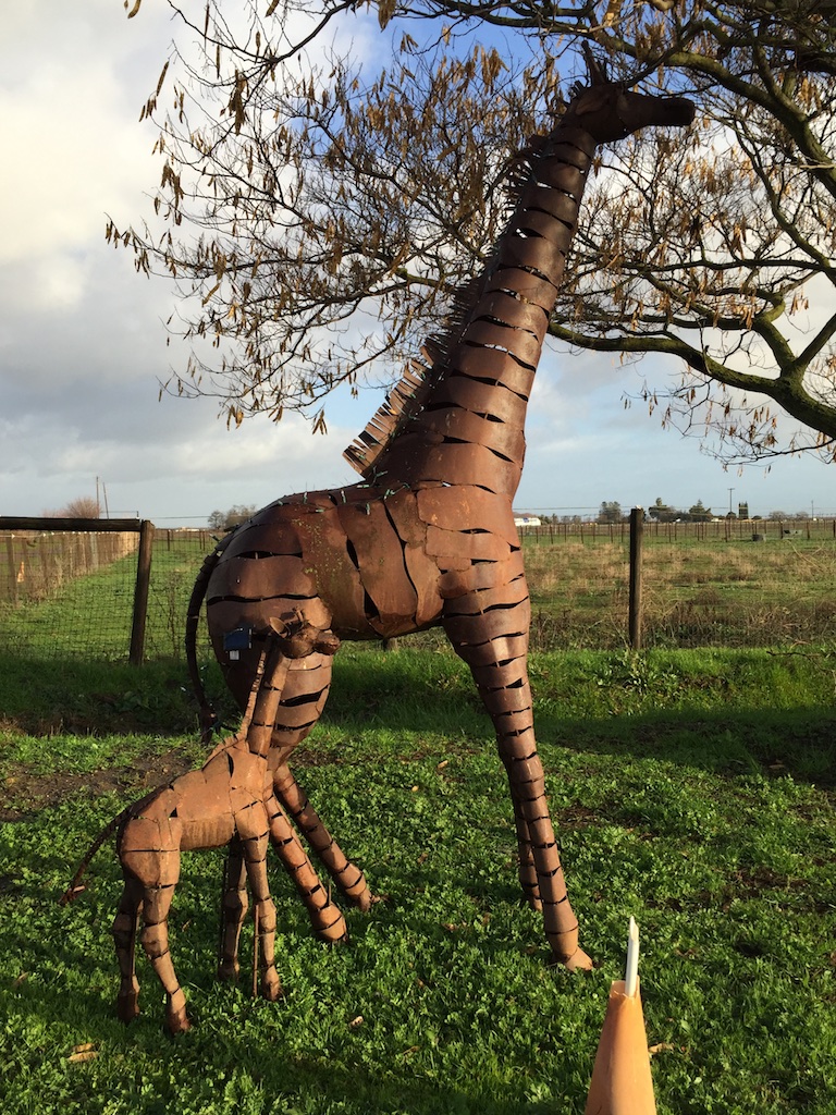 I'll bet you didn't know that we had giraffes in Solano County. These two are about a mile from here where I take Ginny to herding lessons.
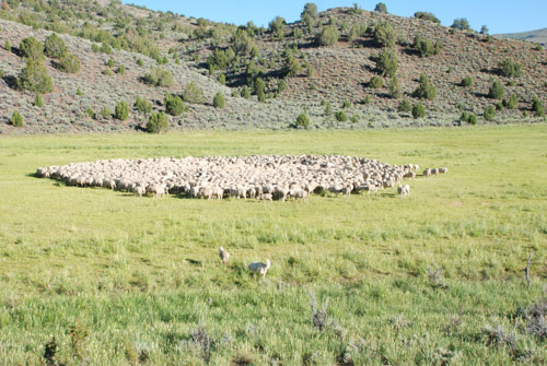
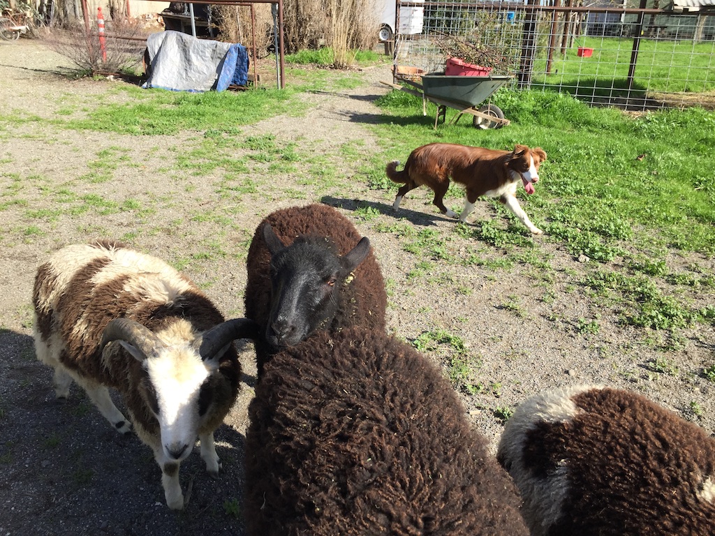 And while we're talking about herding, this is Ginny working "her flock" at home.