Road Trip to CO - Moab to Leadville
/I'm finally back to my photos of our Road Trip. I left off at the blog post about hiking in Arches National Park on our third day out. After a full day of hiking we headed northwest from Moab on Highway 128 that follows the Colorado River. Just after dark we found the Lower Onion Campsite just above the river. We enjoyed the mosquito-less evening while eating a hasty meal of beans and salad and went to bed planning on an early start the next day.
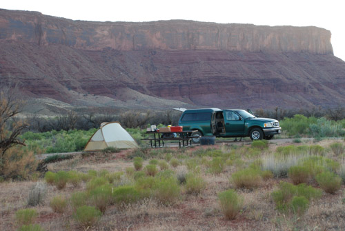
Here is a view of our camping spot in the morning...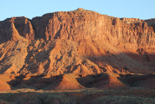
...and the cliffs beyond the river as the sun came up.
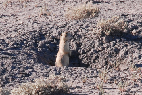
The red rock landscape of Moab changed to more typical desert as we headed north to I-70. We spotted our first prairie dogs along this stretch of road...
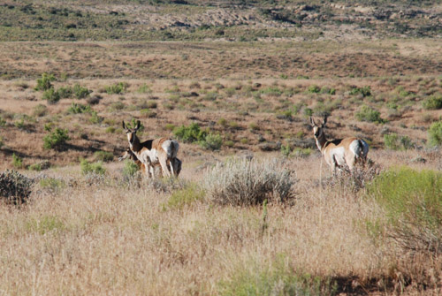
...followed by pronghorn. Not a desolate road at all if you pay attention.
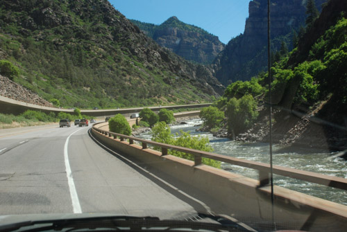
Our goal was to get to Leadville, CO by noon to meet up with Dan's sister, brother, and their spouses, so we didn't stop much along the way, but I took photos from the truck. I marveled at the engineering of this stretch of highway between Glenwood Springs and Vail.
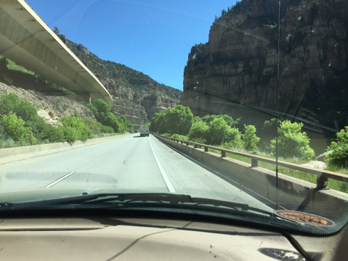
The eastbound lanes are just above the Colorado River and the westbound lanes are elevated to fit within the canyon walls, sometimes overlapping the lower eastbound roadway. There is also a paved bike/running path right at the river's edge. 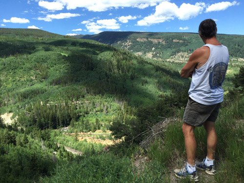
At this point the highway is at about 8000' elevation. We turned south on Highway 24 that would take us to Leadville at over 10,000'. As we climbed into the mountains we had to stop at top of one of the switchbacks to take a look.
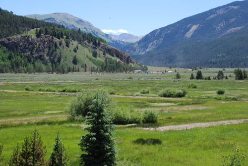
Farther up we came to the Camp Hale Memorial. This meadow is the site of a U.S. Army training facility built in the 1942 and decommissioned in 1945. According to Wikipedia "Soldiers were trained in mountain climbing, Alpine and Nordic skiing, cold-weather survival as well as various weapons and ordnance. When it was in full operation, approximately 15,000 soldiers were housed there."
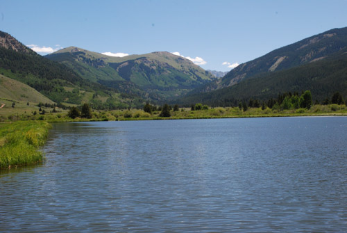
This is a view from that meadow looking east up the canyon to Sheep Mountain.
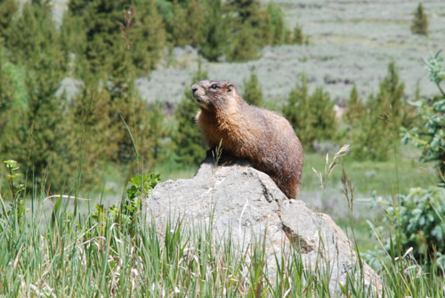
A marmot posed for me while reading the roadside memorial signs...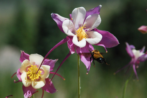
...and this bee flew into this columbine just as I was taking a photo.
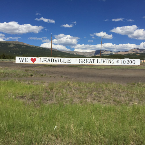
Entering Leadville.
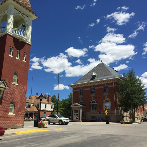
We wandered around the downtown for awhile...
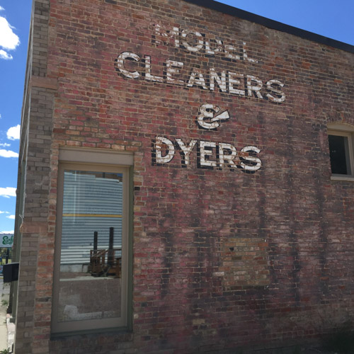
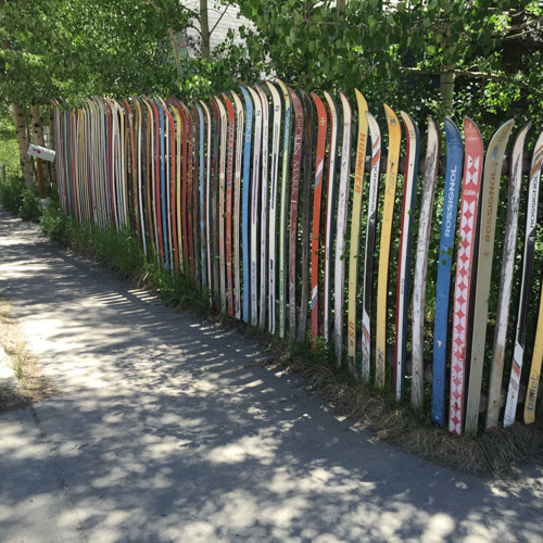
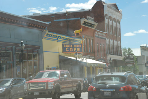
...and then met Sally and John for lunch at the Golden Burro Cafe.
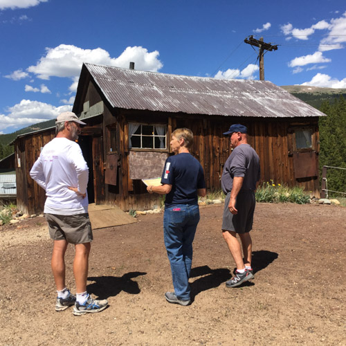
After lunch we took a self-guided tour of the Matchless Mine. "The Mathcless Mine, a historic silver mine purchased in 1879 by H.A.W. Tabor, was estimated to have produced 7.5 million dollars during its peak operating years. Once fabulously wealthy, the silver market crash of 1893 devastated the Matchless Mine and the Tabor Family. Upon Tabor's death his widow, Elizabeth "Baby Doe" Tabor, returned to the Matchless where she remained in isolation for until her death in March of 1935." This is the cabin where "Baby Doe" lived until her death.
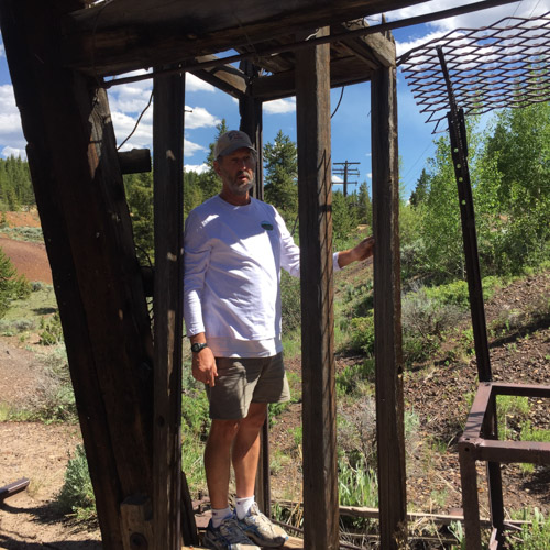
Dan is standing in the phone-booth size structure that would lower miners hundreds of feet below ground. We watched a video that shows a 3-D image all the tunnels and shafts below us. I don't remember the stats but the distances are staggering to think about.
After the mine tour we met up with Rob (Dan's brother) and Renee and we all went to the Leadville Cemetery.
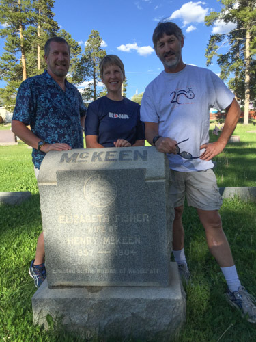
My father-in-law's grandparents are buried here and following his death just this spring, this was an meaningful stop for the family. We spent some time here before returning to our motel, eating pizza, and making plans for the early morning start of the Leadville 50--an ultra run that Rob was had entered.

This was our one "civilized night" and I spent a little time trying to catch up with e-mail and thinking that I'd start my blog posts. Nope. We were tired and I wasn't motivated enough to interrupt the vacation!

