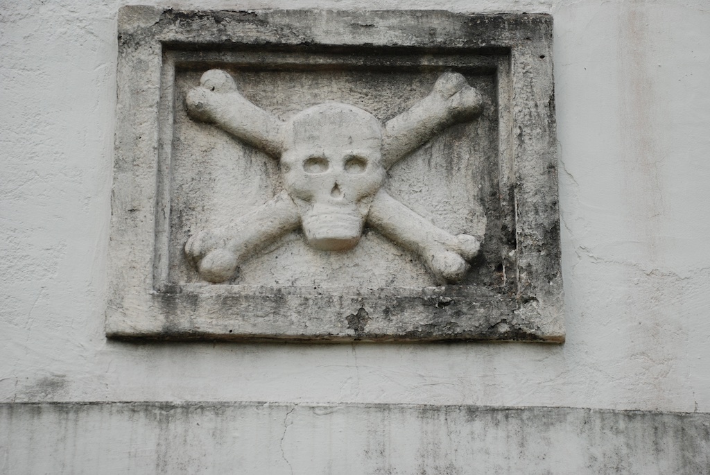
Hawaii, Day 7
/Last person standing. That's me, for our Hawaii family vacation. Well, Matt and Kaleena were still here but staying somewhere on the beach. My father-in-law and his wife live on the Big Island and that is where we spent most of the trip. My husband and Chris and Meryl had left for home from there. Katie and her family left the night before after spending the day at Pearl Harbor so I woke up alone in my Waikiki hotel room and decided to spend some time on the beach with my camera before going to the airport.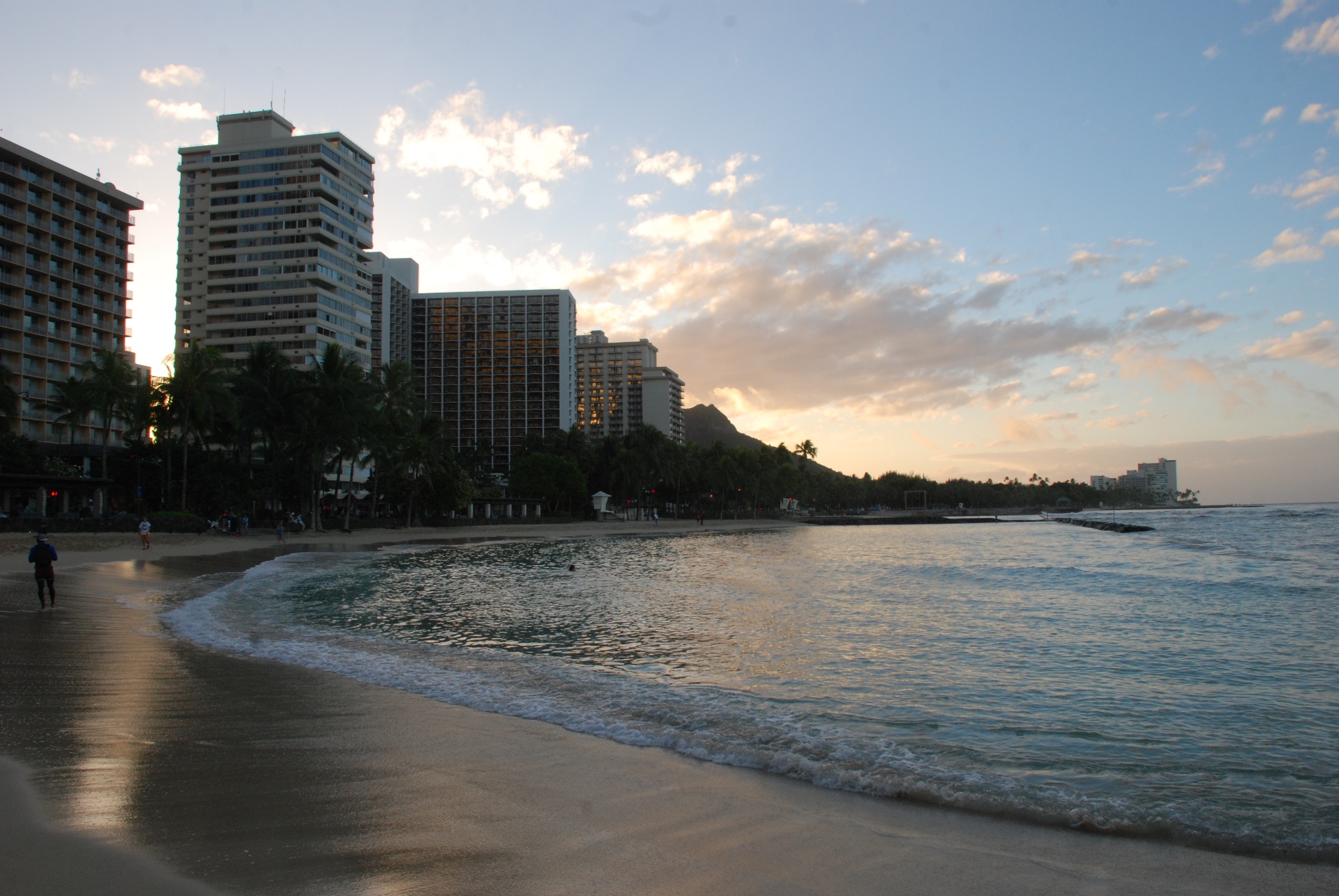 View to the southeast with early morning sun.
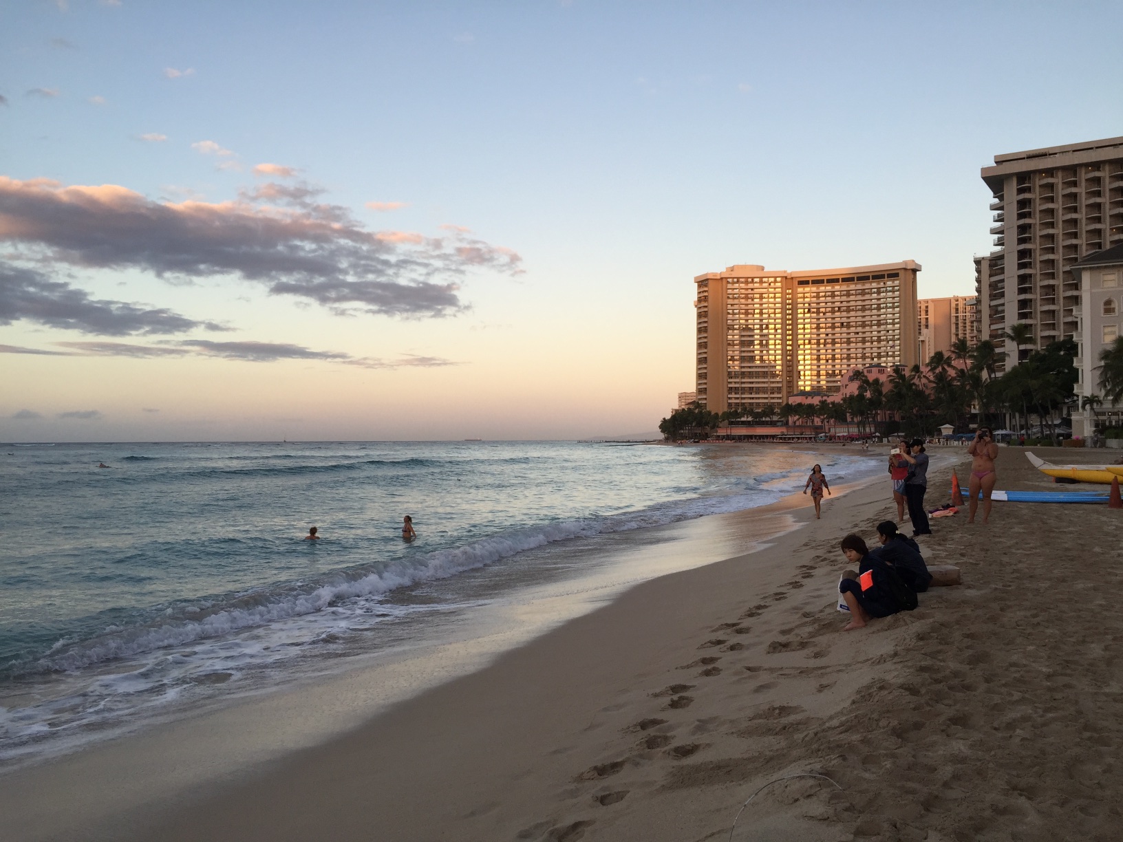 View to the northwest.
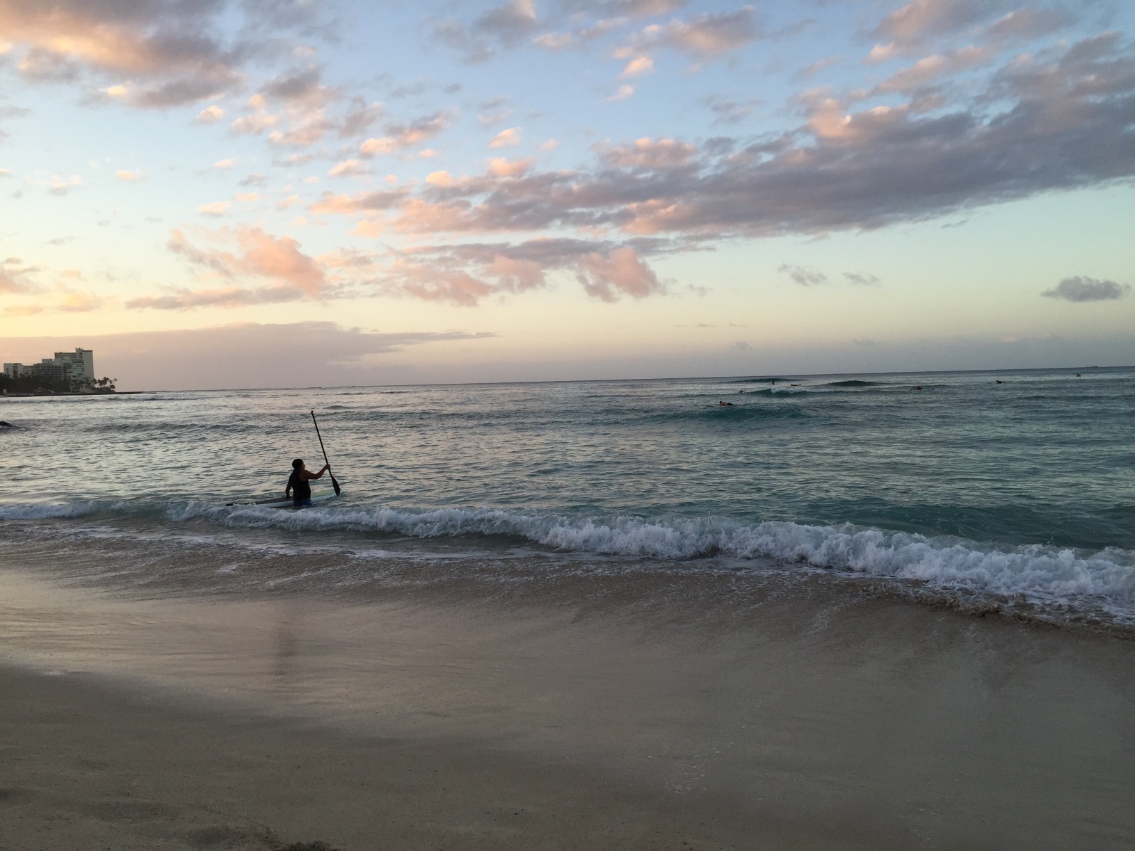 Not too many people in the water yet...
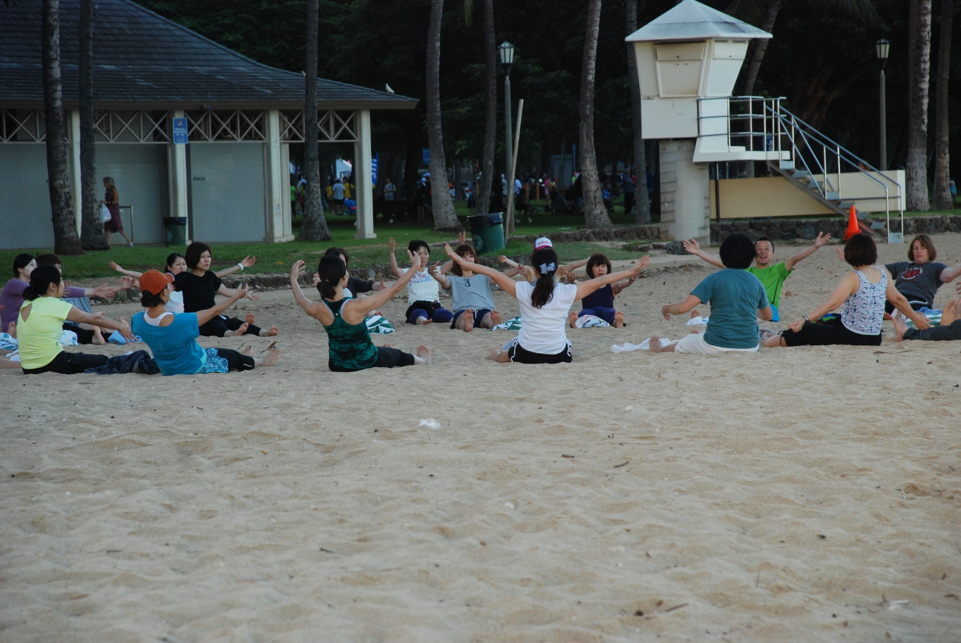 ...but there were people on the beach...
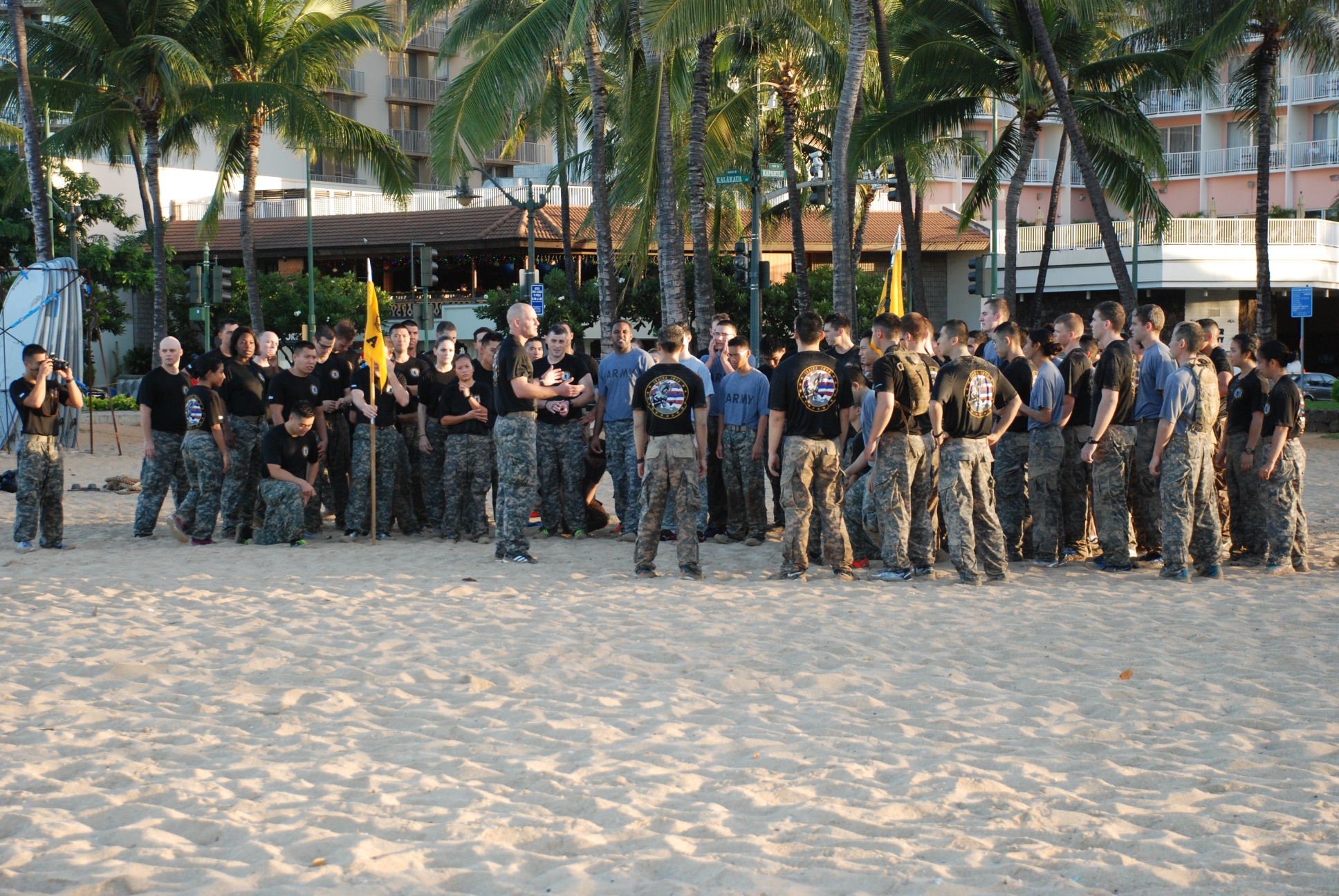 ...working out...
 ...and getting ready for business.
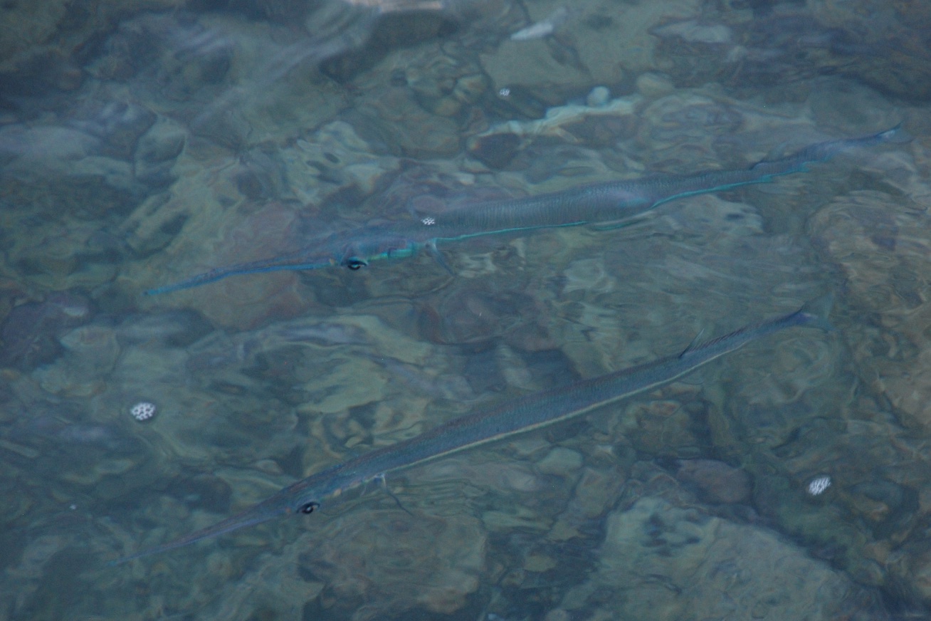 The beaches are protected (created?) by rock walls built out into the ocean. When walking along one I realized that it was like looking down into an aquarium tank. There were fish everywhere. I took lots of photos but in most the wave action obscures the fish. There are a few that aren't bad for my first time trying to photograph fish. The only ones that I later identified are these needlefish.
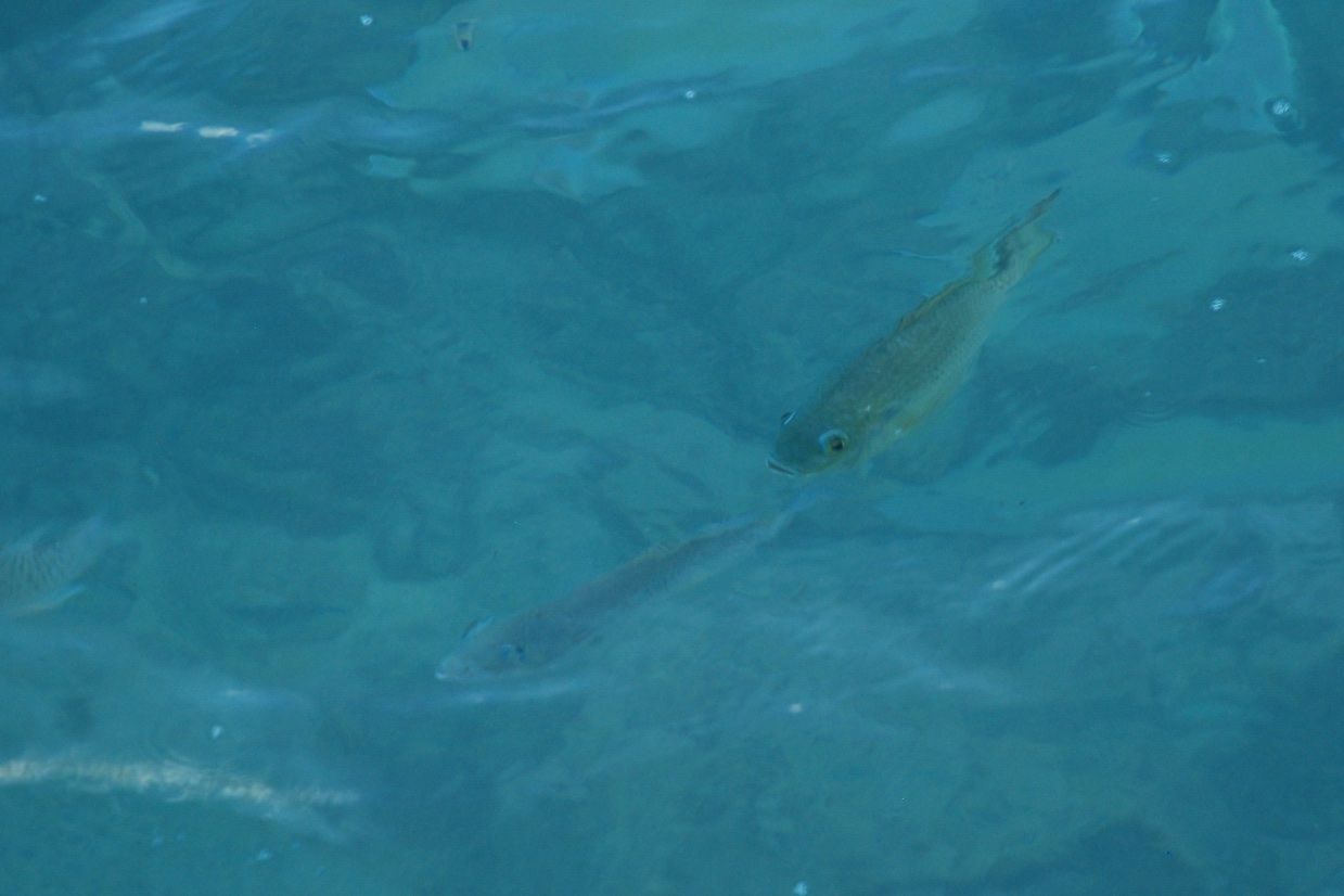 I wish that I'd had my new GoPro with me and a long stick to reach into the water.
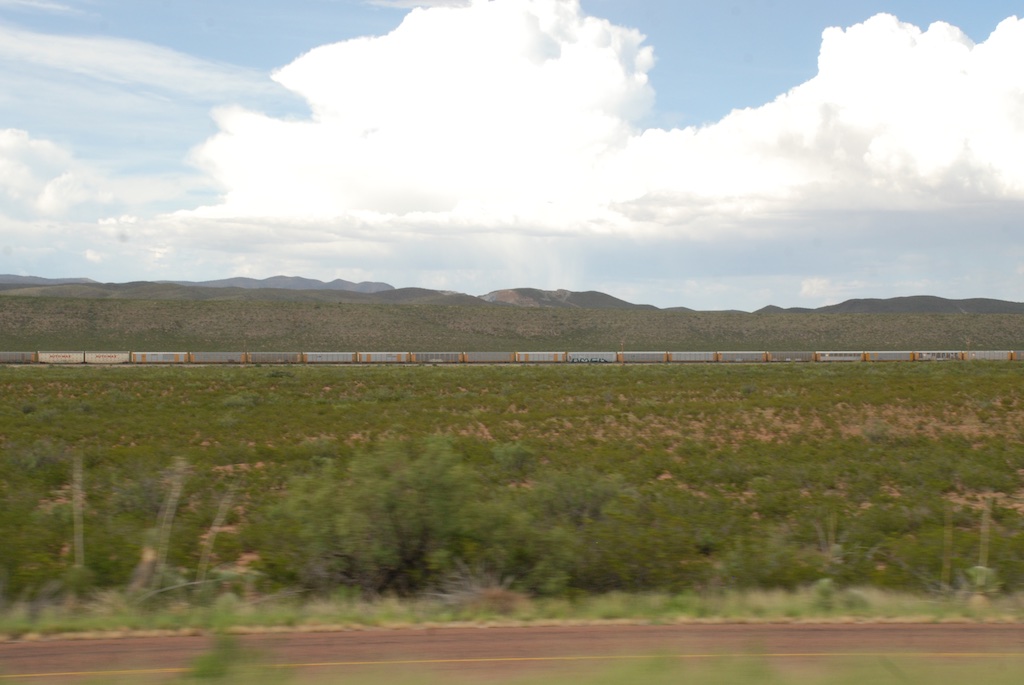
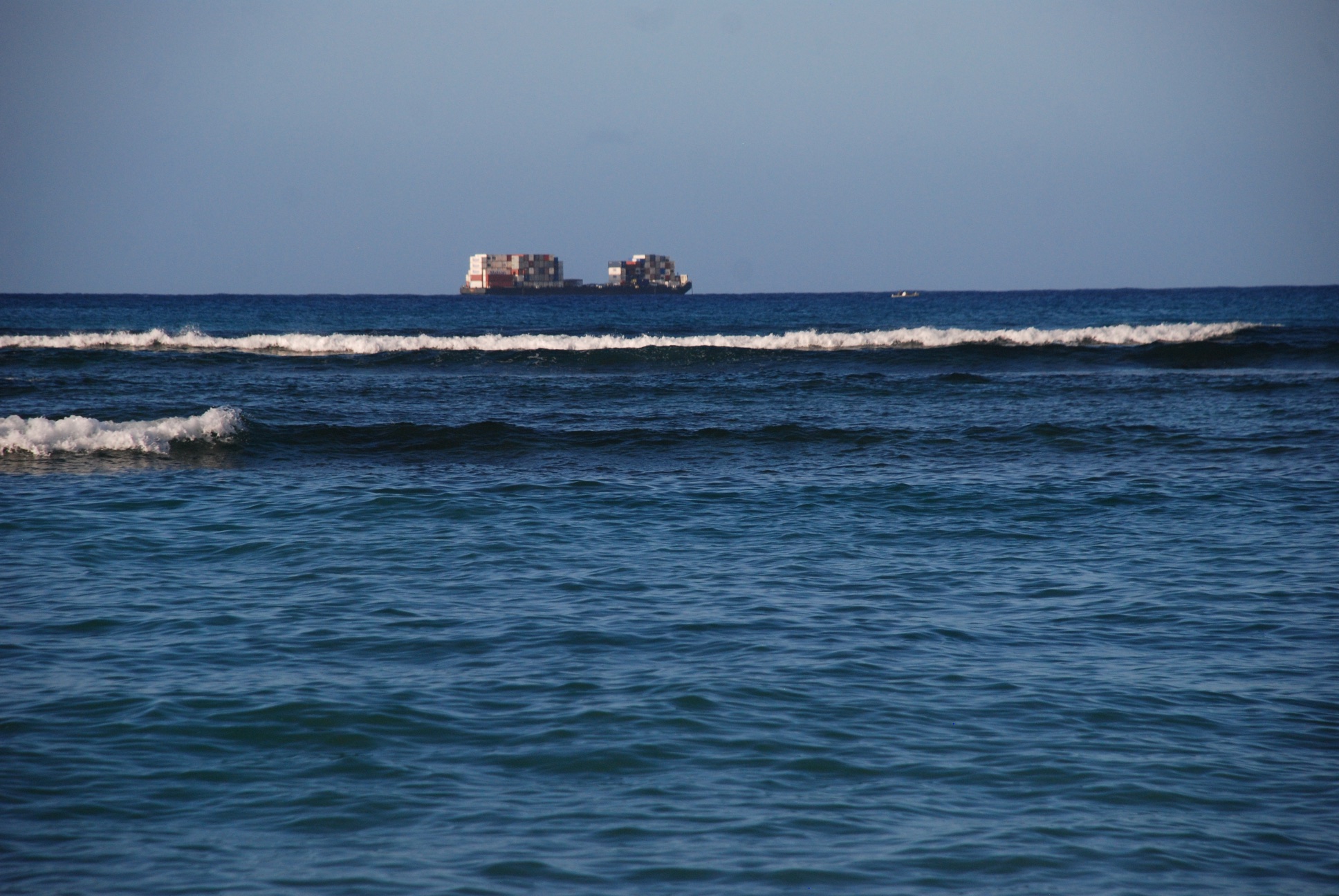 I sort of like this photo because the ships looks pixelated, but it's just the containers.
 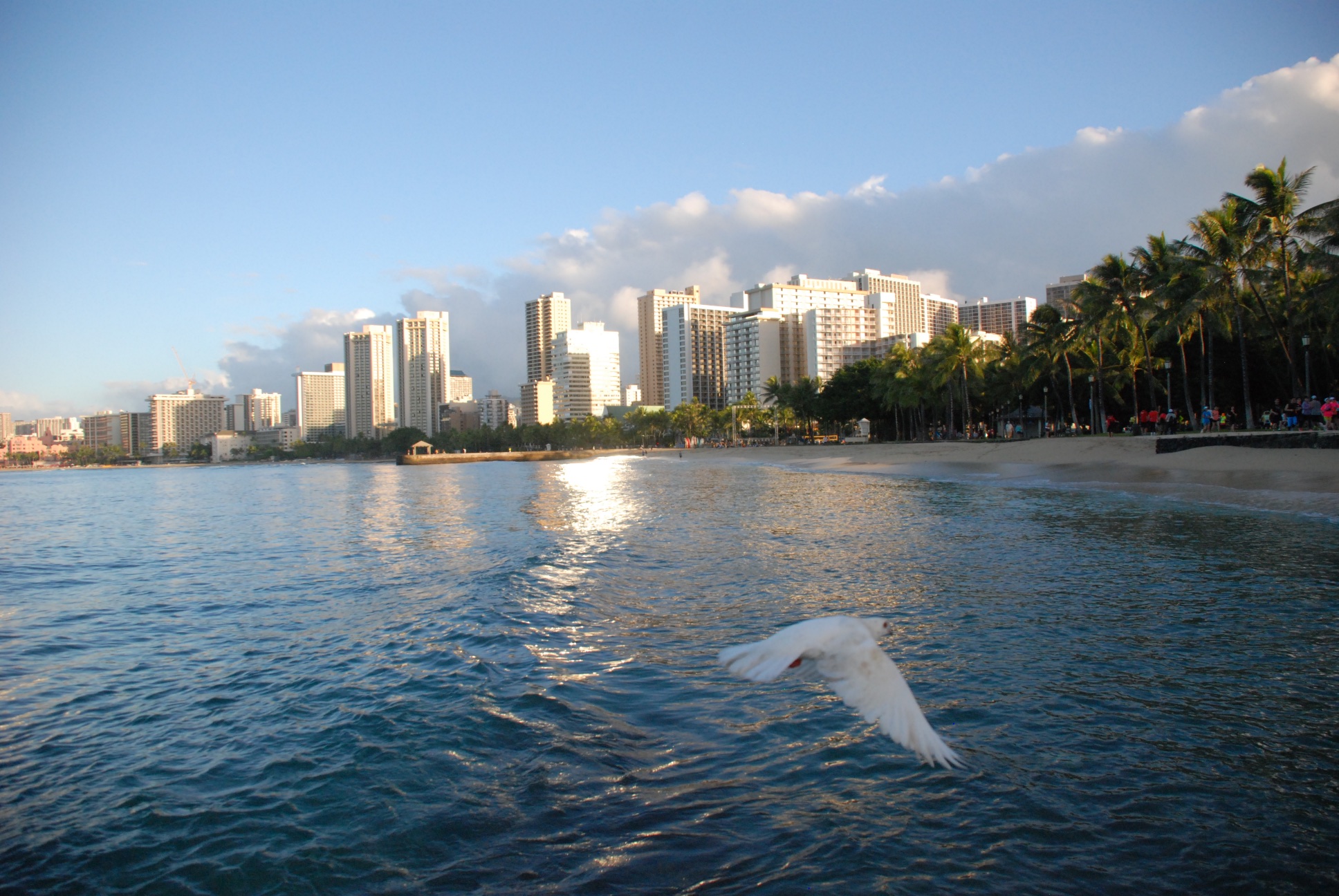 Still on the wall, the sun was getting higher.
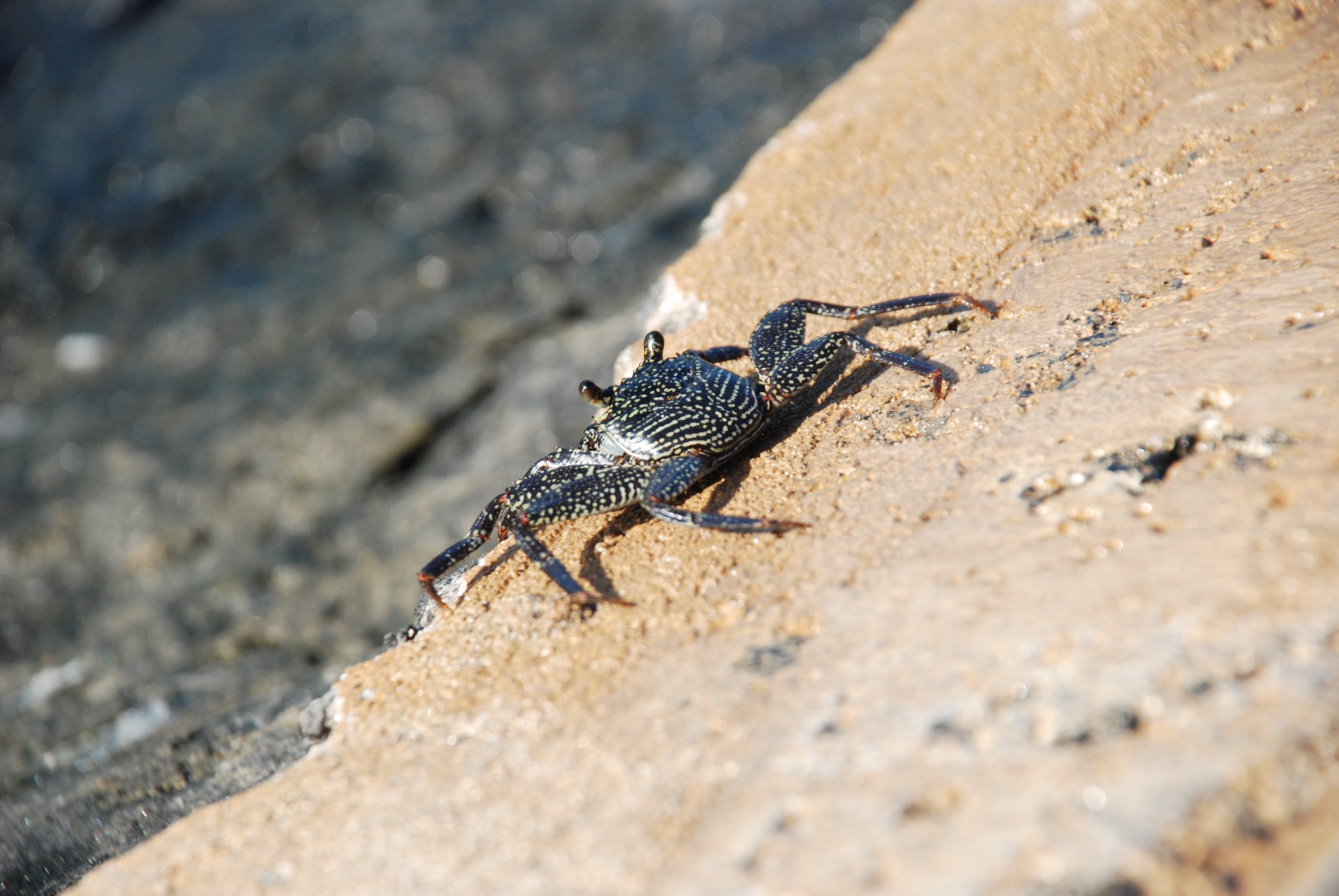
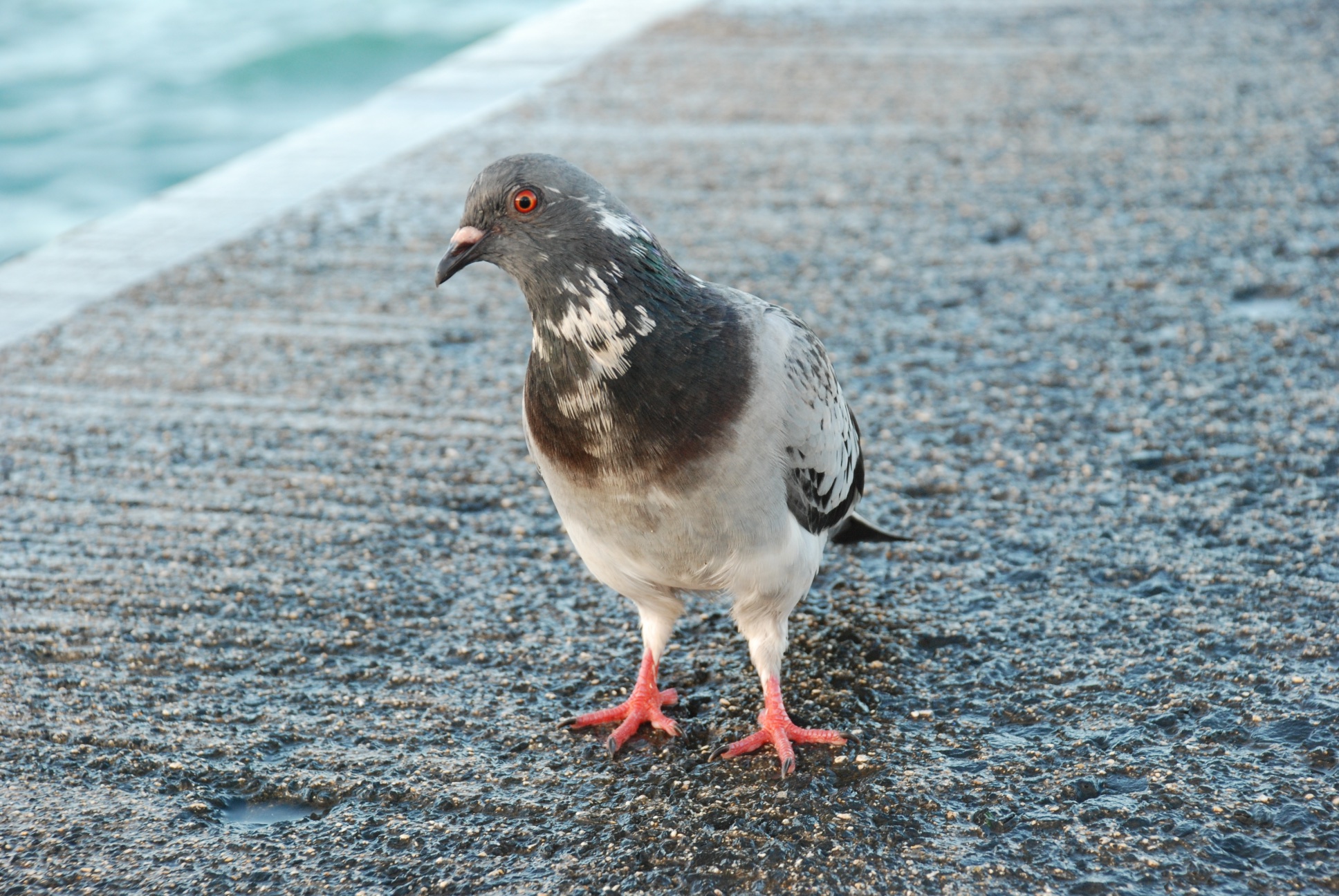
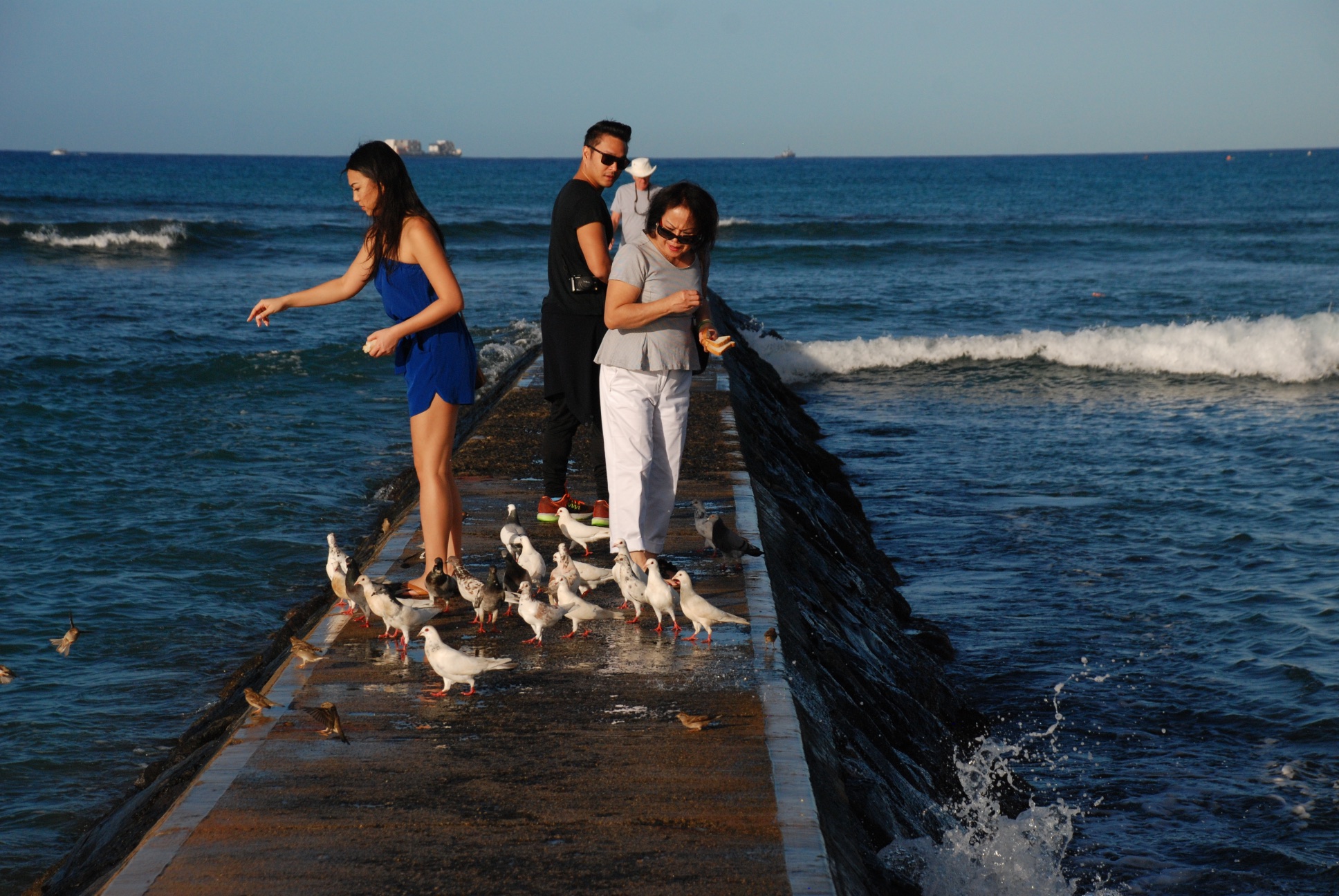 Here is an activity of which I was unaware--feeding bread to fish --these tourists brought an entire loaf and threw crumbs into the water.
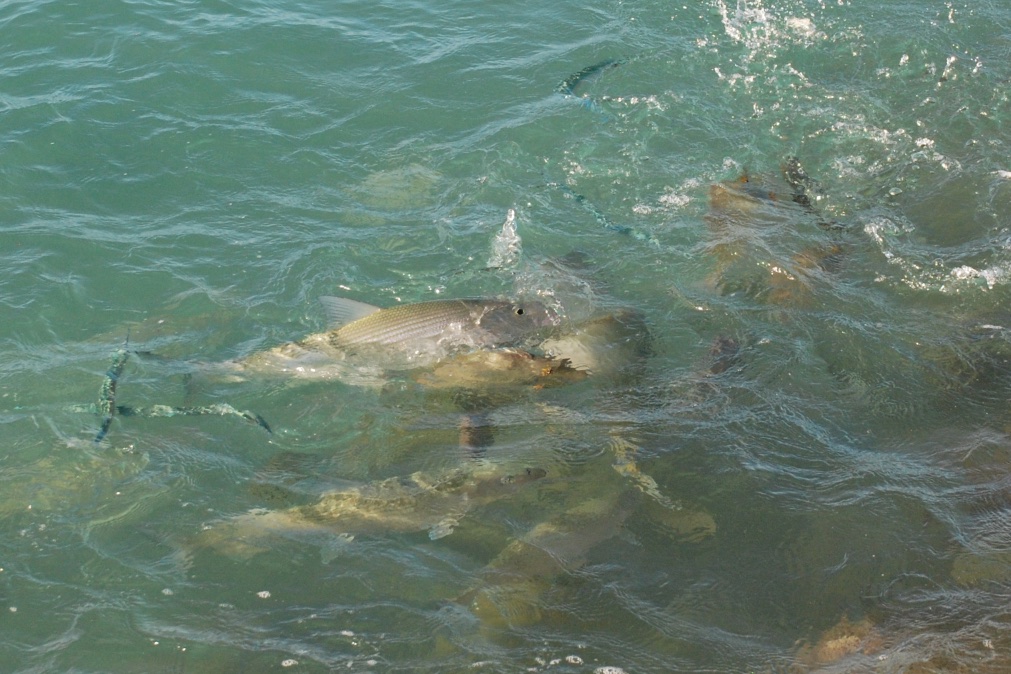 It's a great way to bring fish (and pigeons) to you, but I can't imagine that it is an approved method of watching wildlife. I was seeing plenty of fish without bribing them.
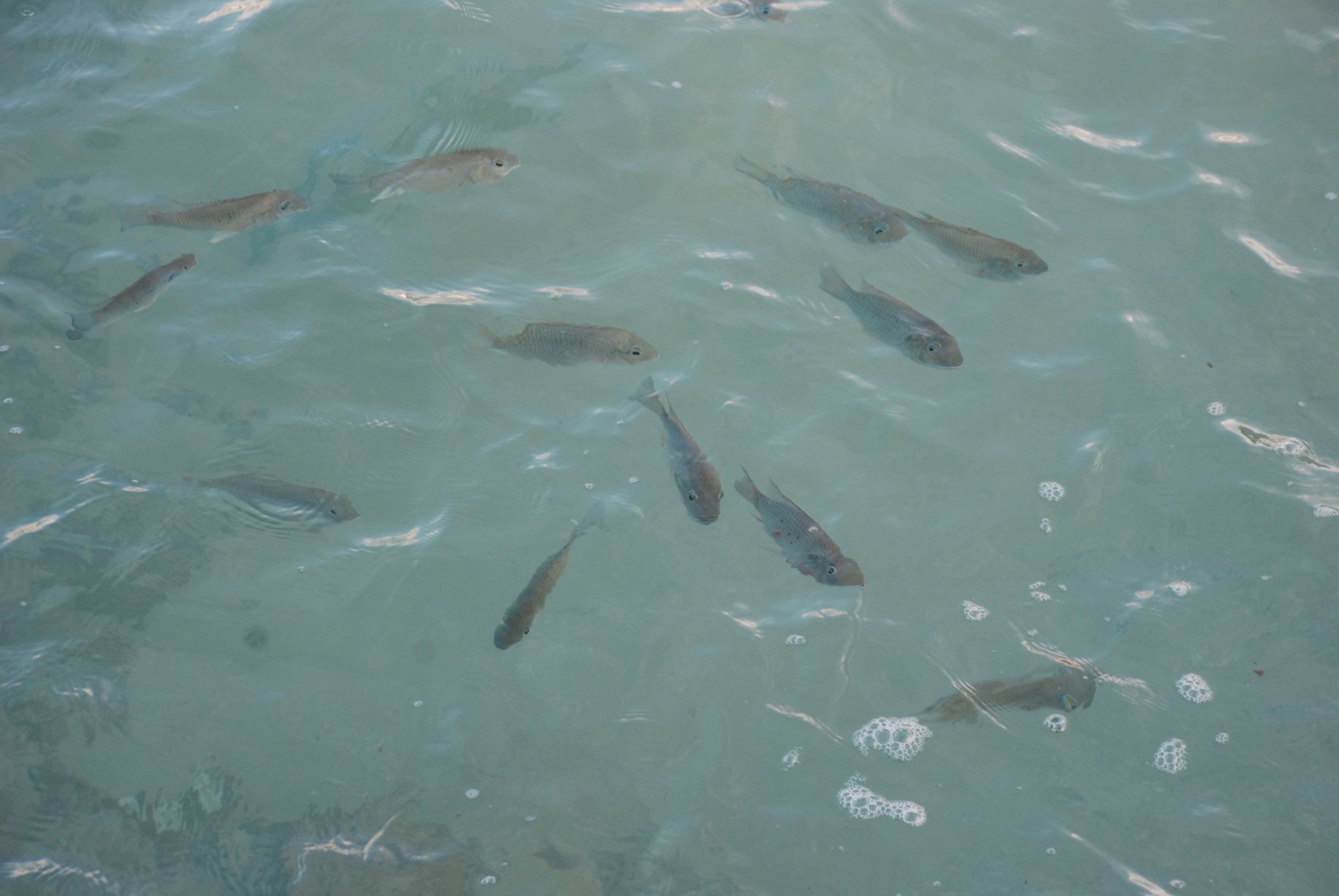 As the sunlight hit the water the fish were easier to photograph...
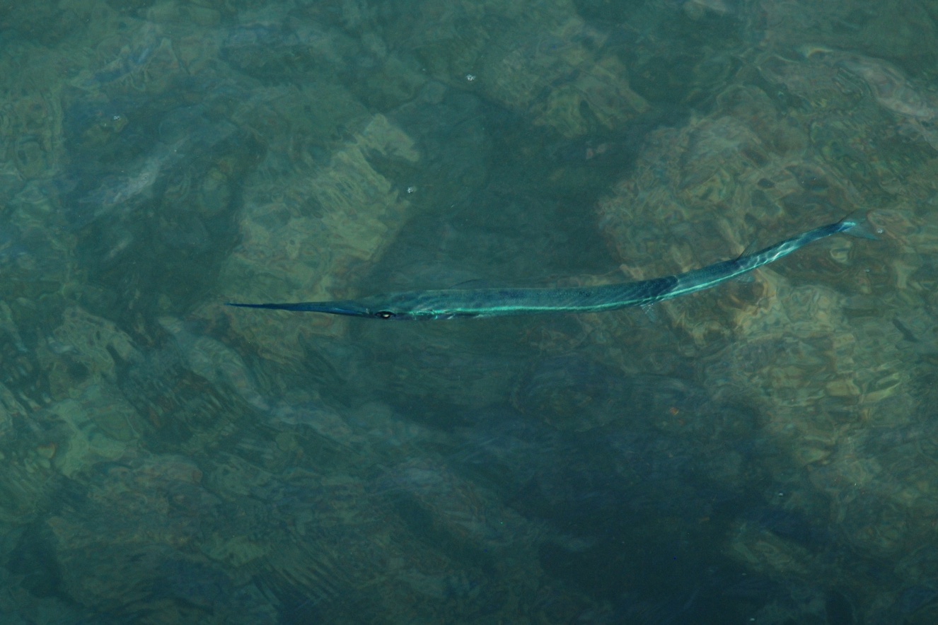 ...especially these almost luminescent needlefish.
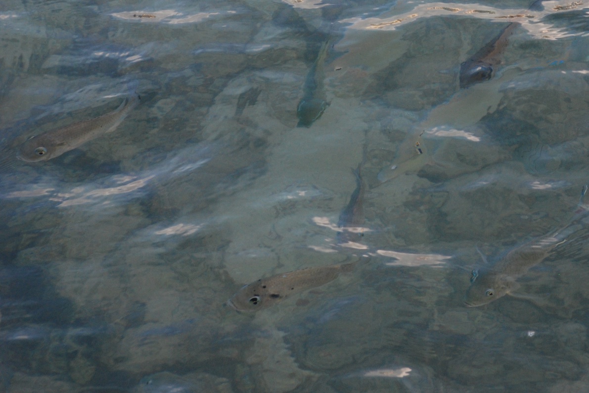
 As I walked back to the hotel, the beach was waking up.
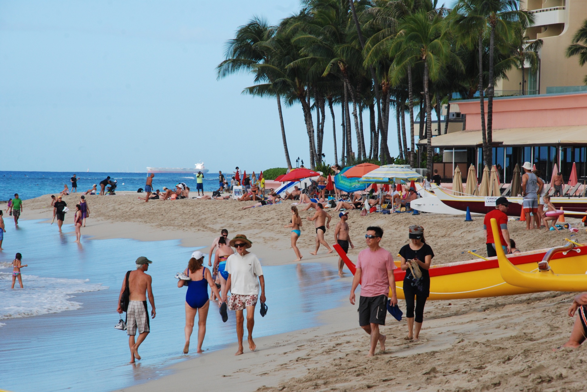 Many more people out and about.
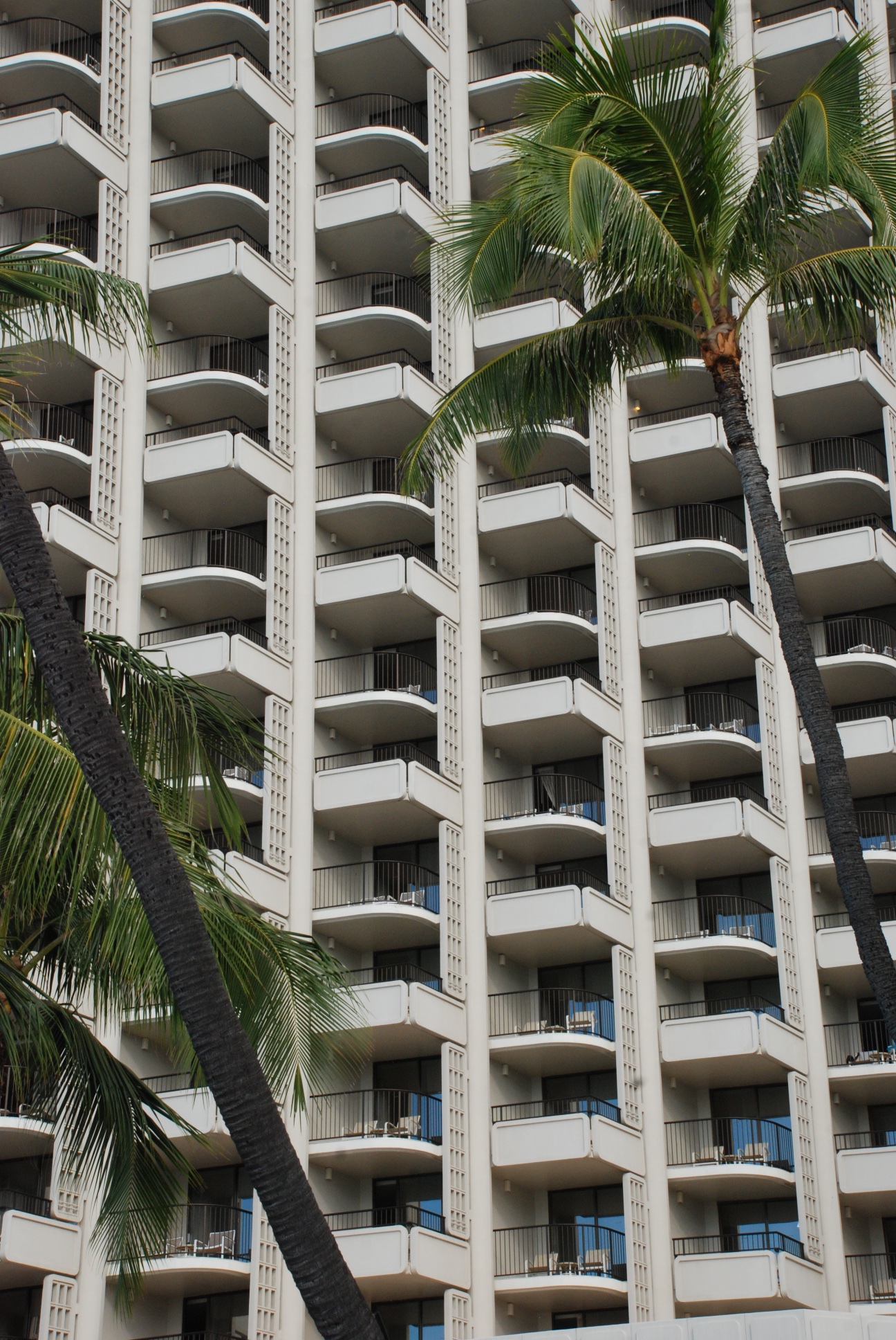
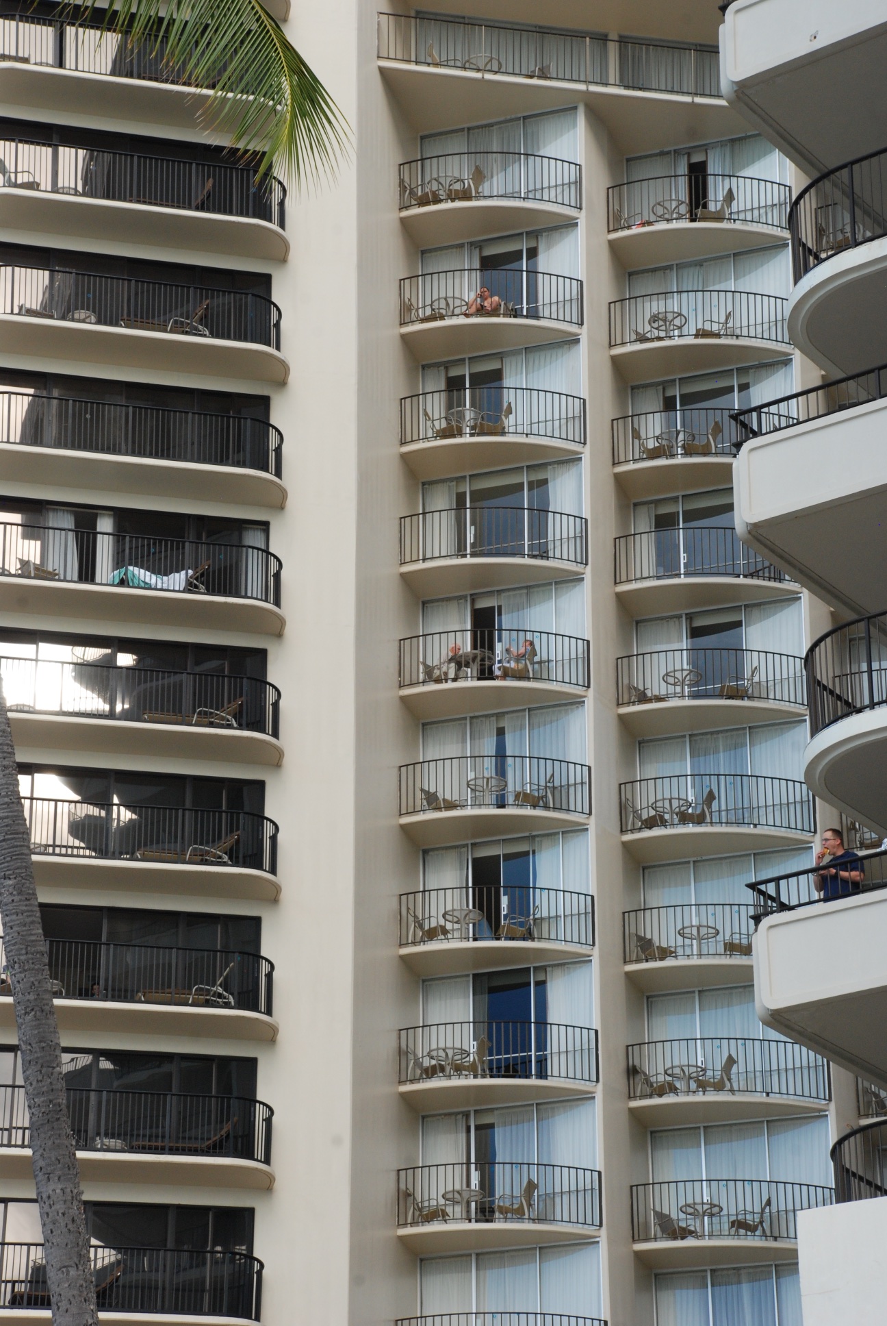 By the way, this was not my hotel. Mine was a few block off the beach in the low(er) rent district.
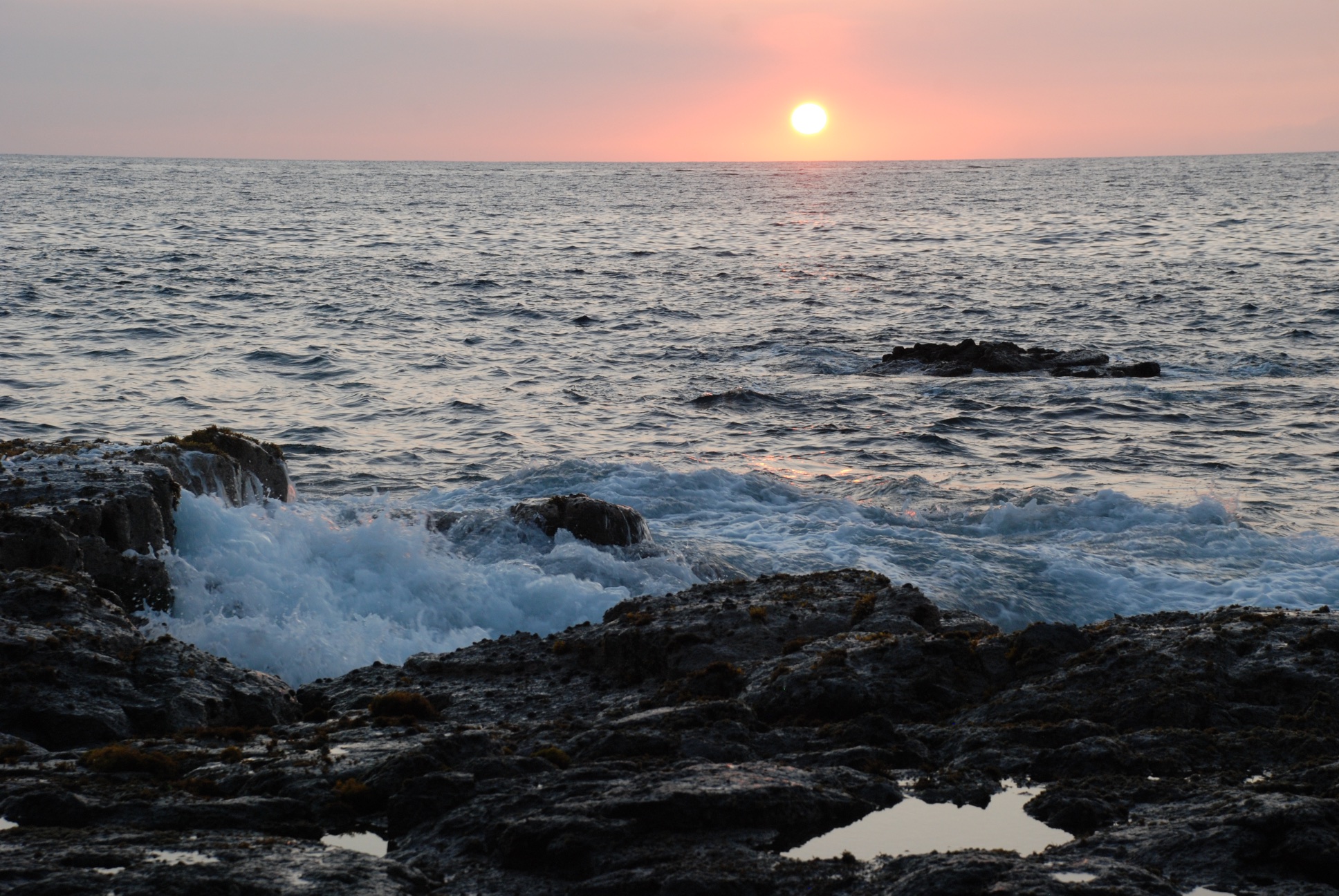
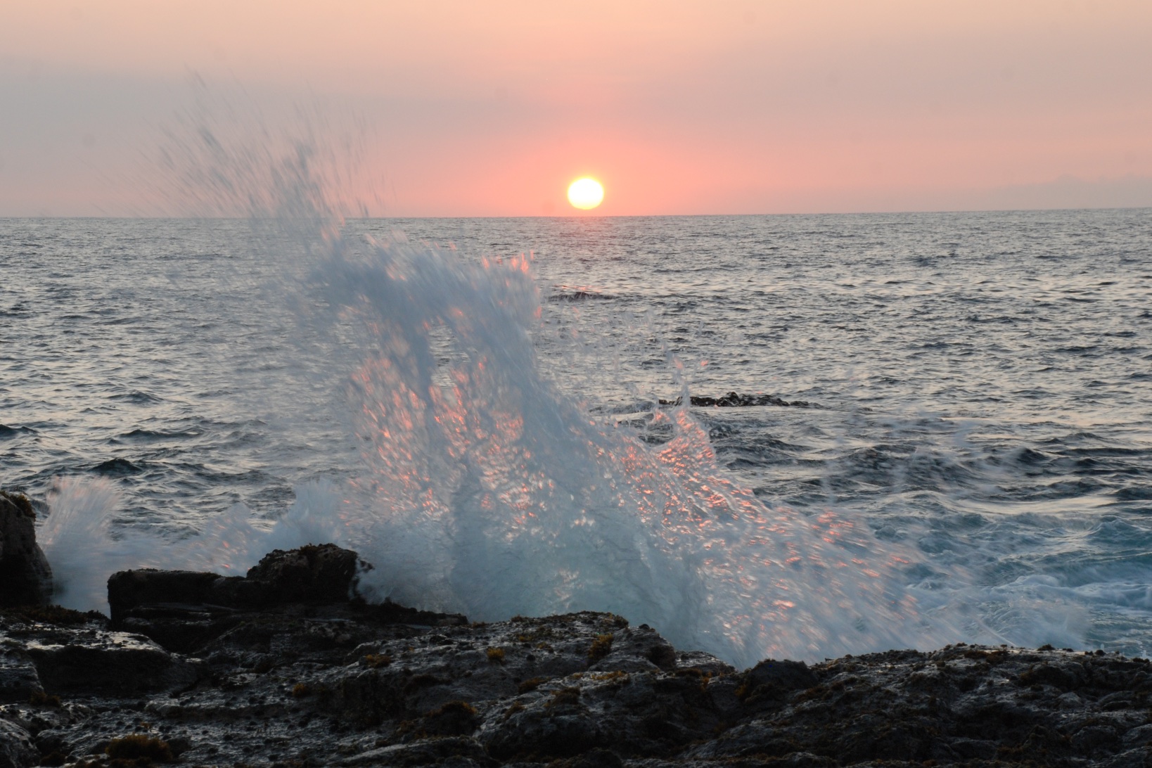
Back to winter in northern California. It sure didn't feel like Christmas time in Hawaii. Aloha!
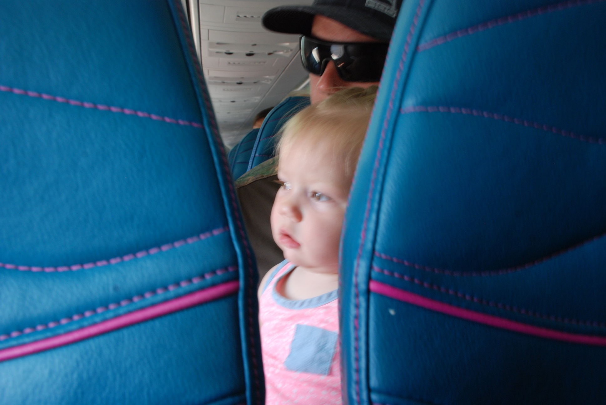 Unfortunately this is a blurry photo but I like the image. I sat in the row in front of Kirby on this short flight. We picked up a rental car (had to upgrade to carry all of Kirby's luggage) and drove to Pearl Harbor.
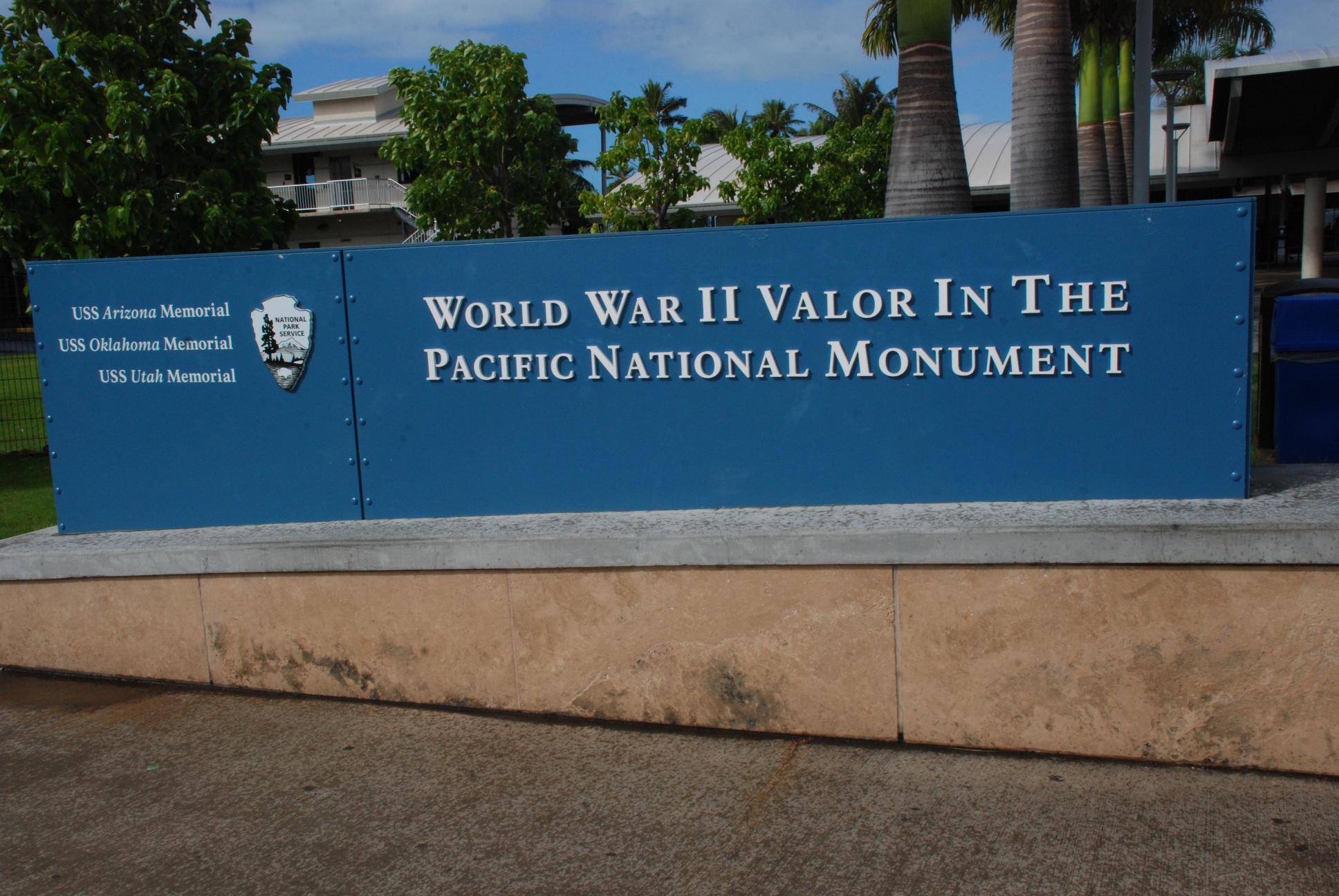 The monument includes several memorials and museums and it would be easy to spend a full day immersed in this history ...but not with a toddler on board. We chose to tour the U.S.S. Missouri while waiting for our assigned time to see the U.S.S. Arizona Memorial. (Unfortunately all boat rides to the Arizona were cancelled due to windy conditions.)
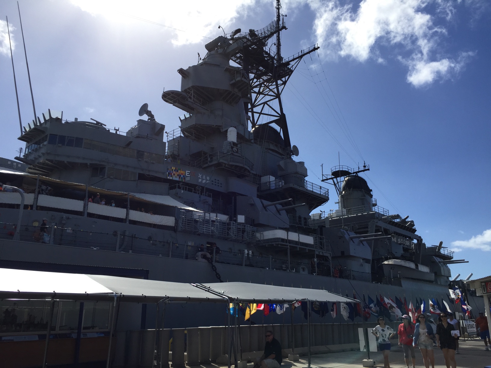 The USS Missouri was the last battleship built by the U.S. and was the site of the Japanese surrender, ending WWII. The ship also served in the Korean War and, after being modernized in 1984, in Desert Storm.
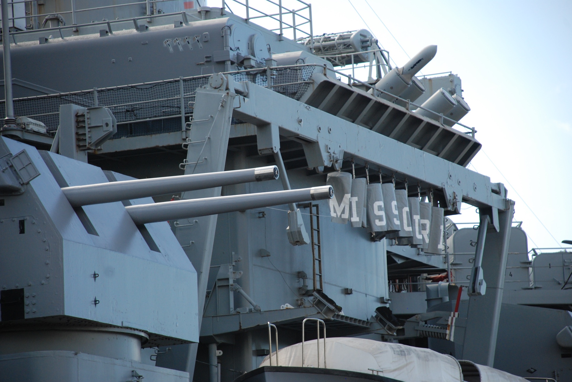 The Missouri is now a permanent museum in Pearl Harbor.
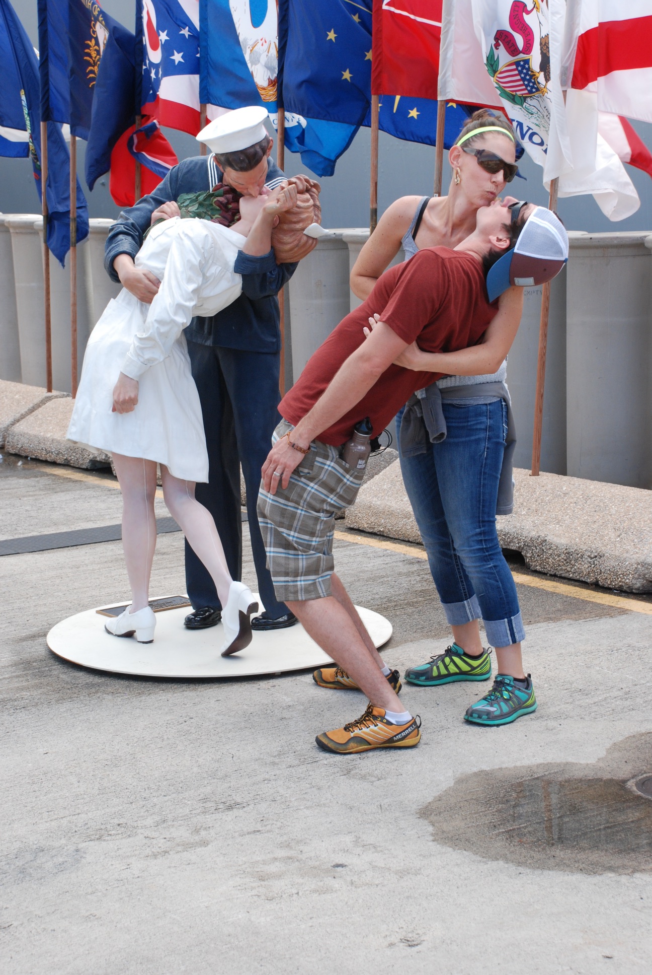 There were a couple of photo opps before entering the ship.
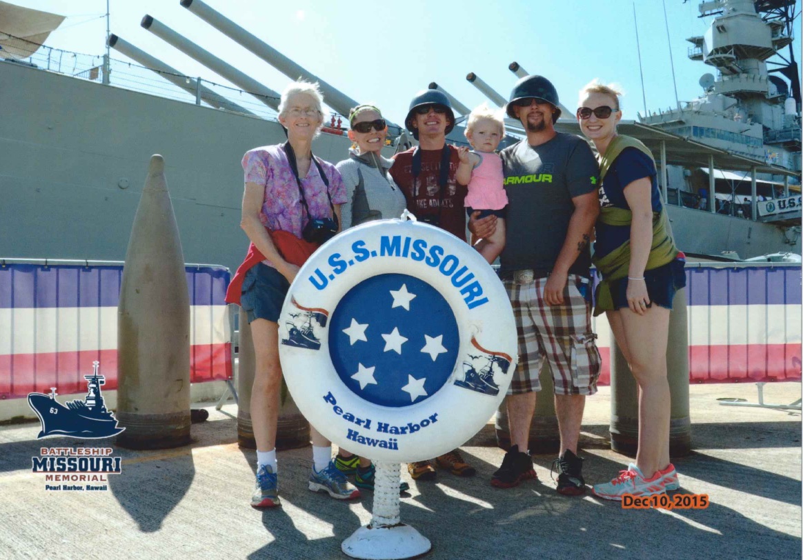
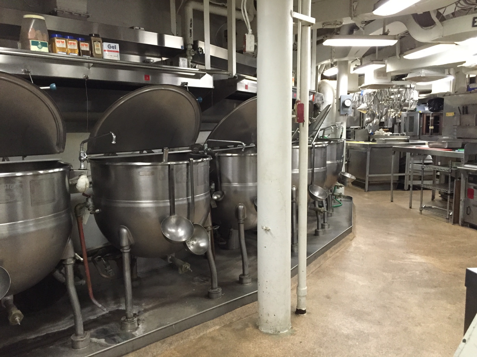
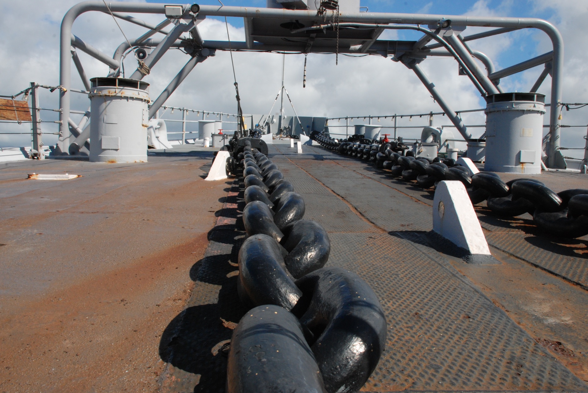 A lot of the ship is accessible and there is a wealth of information covering the three eras when the ship was in use. It would be easy to spend several hours taking time to absorb everything. I have included just a few photos here.
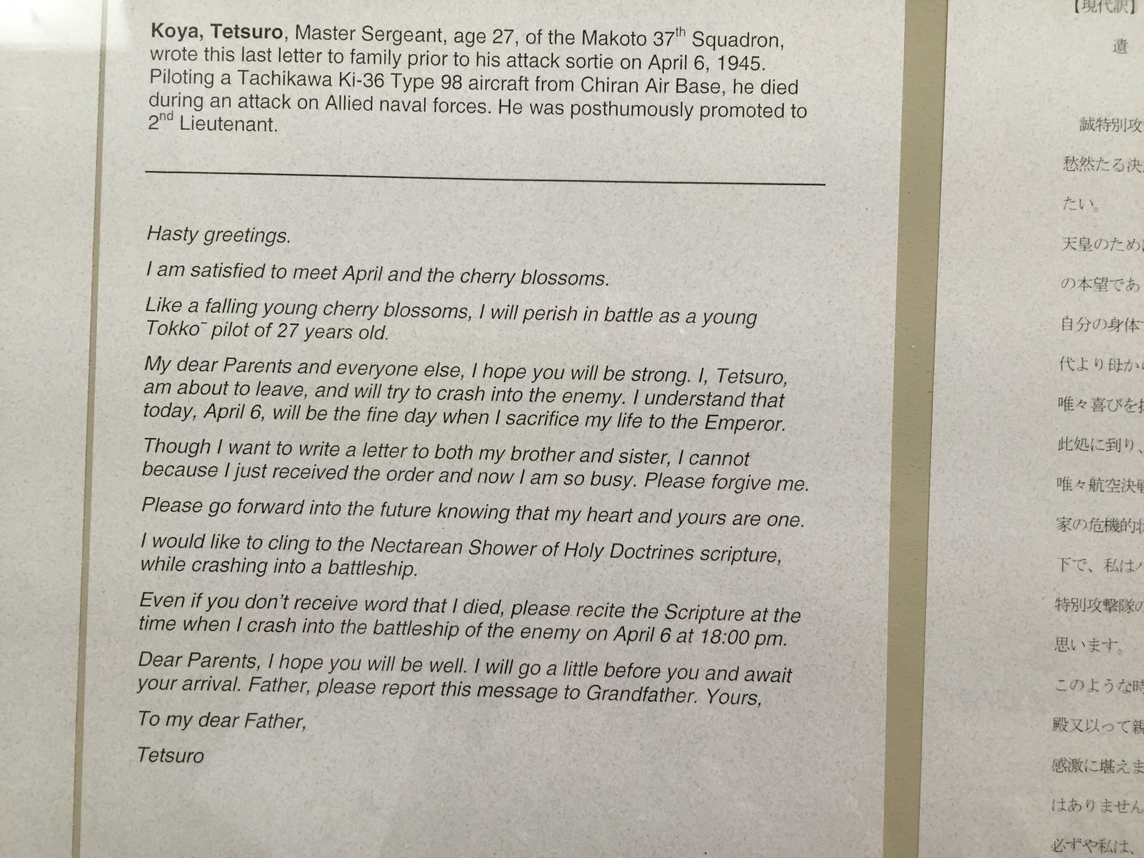 There is a display about the Japanese pilots who died in kamikaze attacks near the end of WWII. It is a moving exhibit but I don't understand what can drive a young man to this end during that era any better than today's suicide attackers (although I thing there is probably a world of difference in their reasoning).
 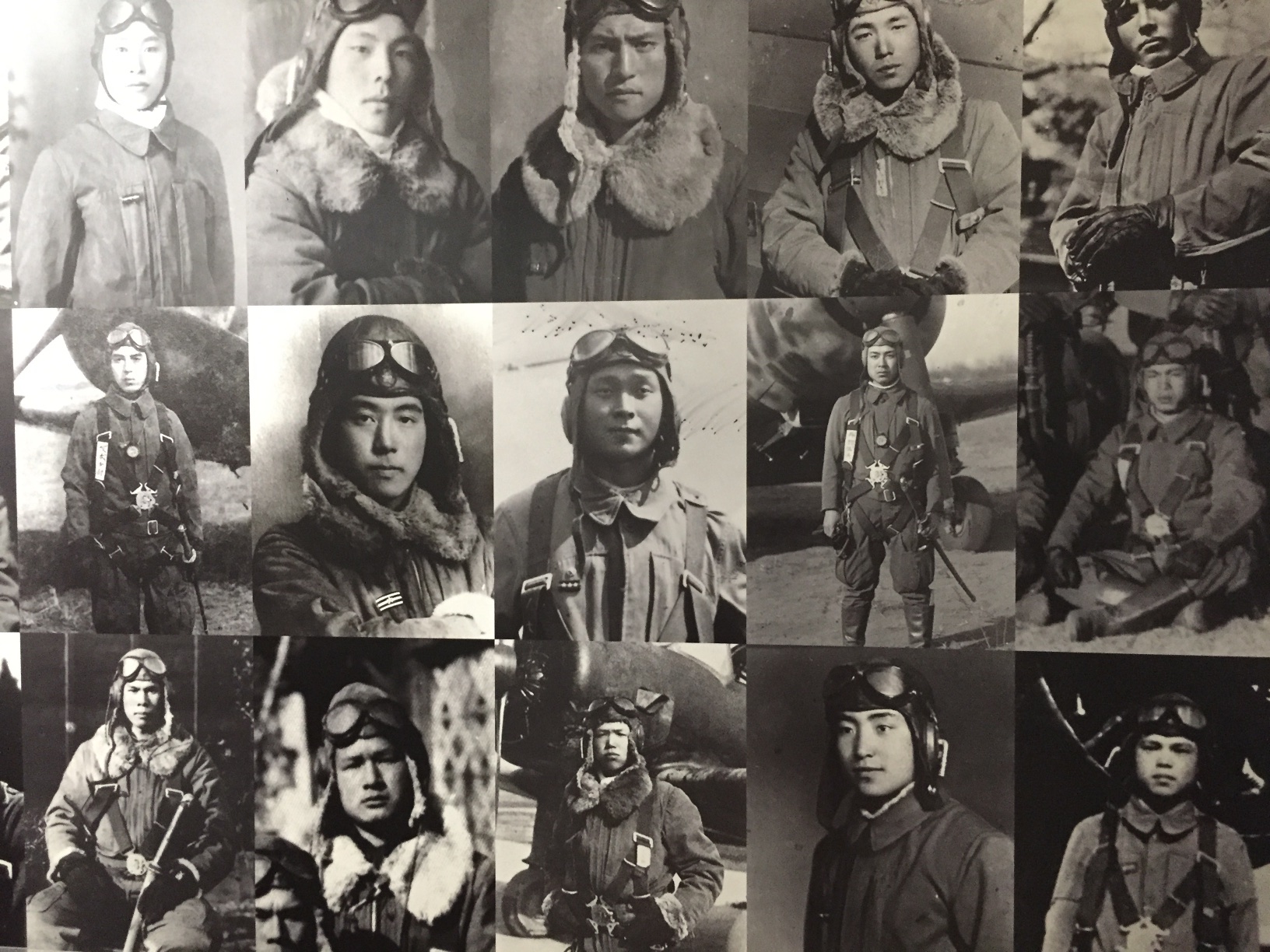 So sad...as are all parts of war.
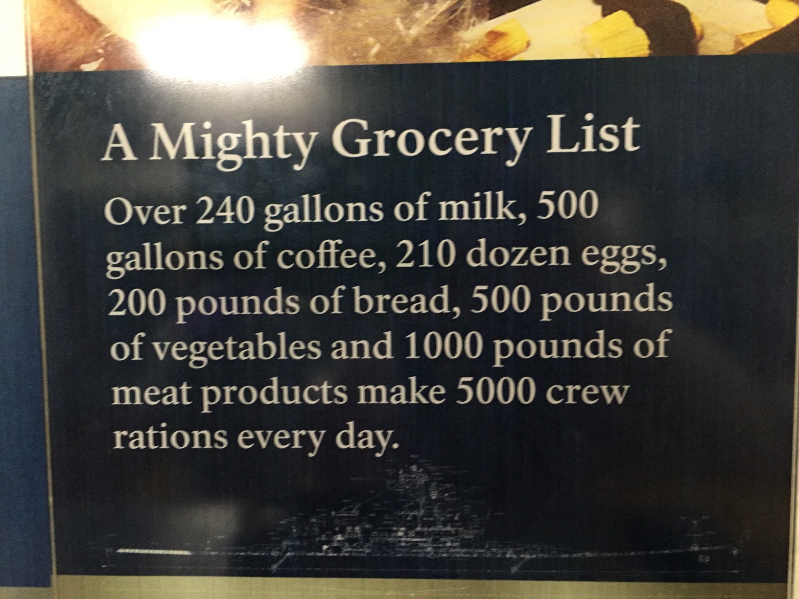
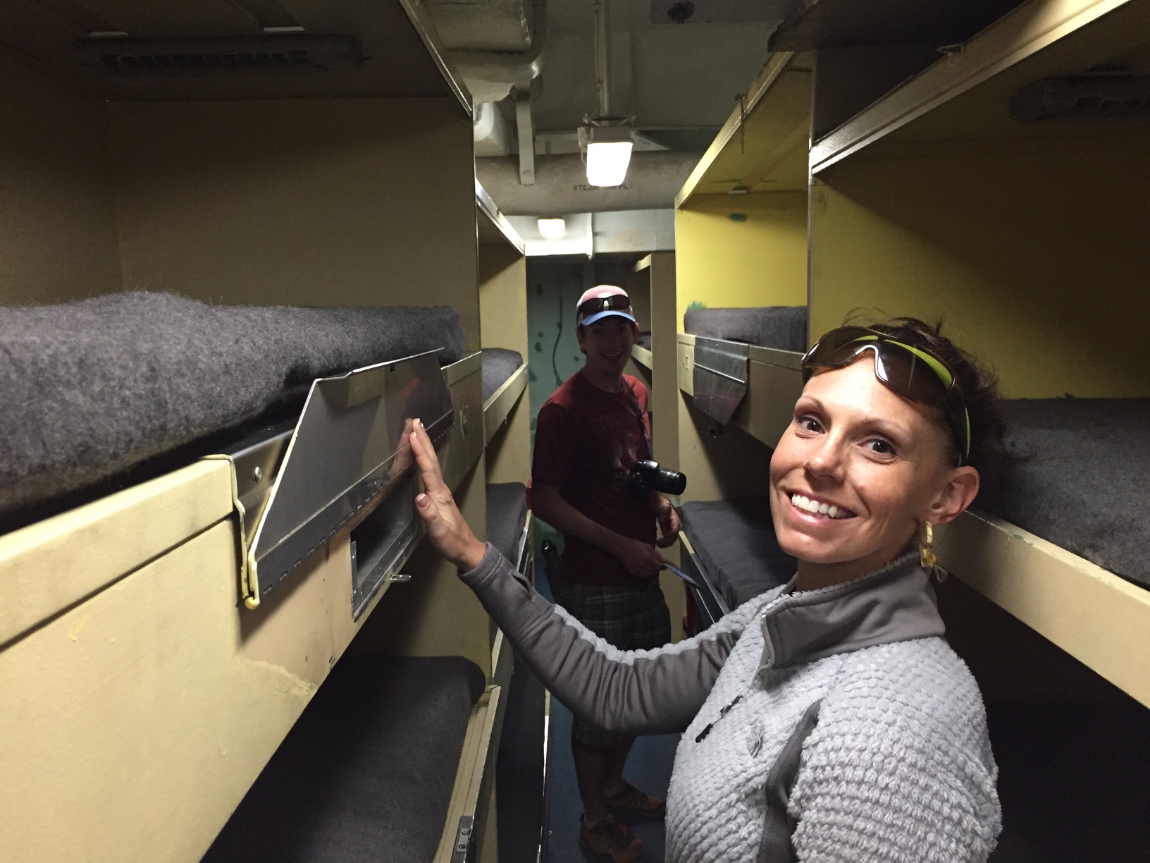 The living spaces for 1600 enlisted men were spread throughout the ship.
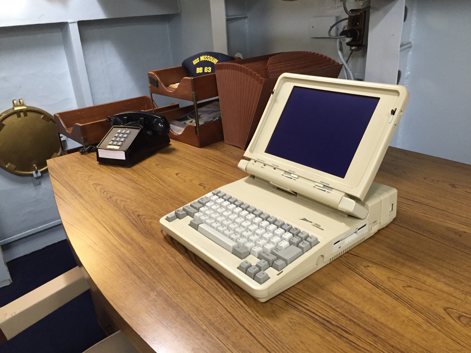 Part of the modernization in the 1980's.
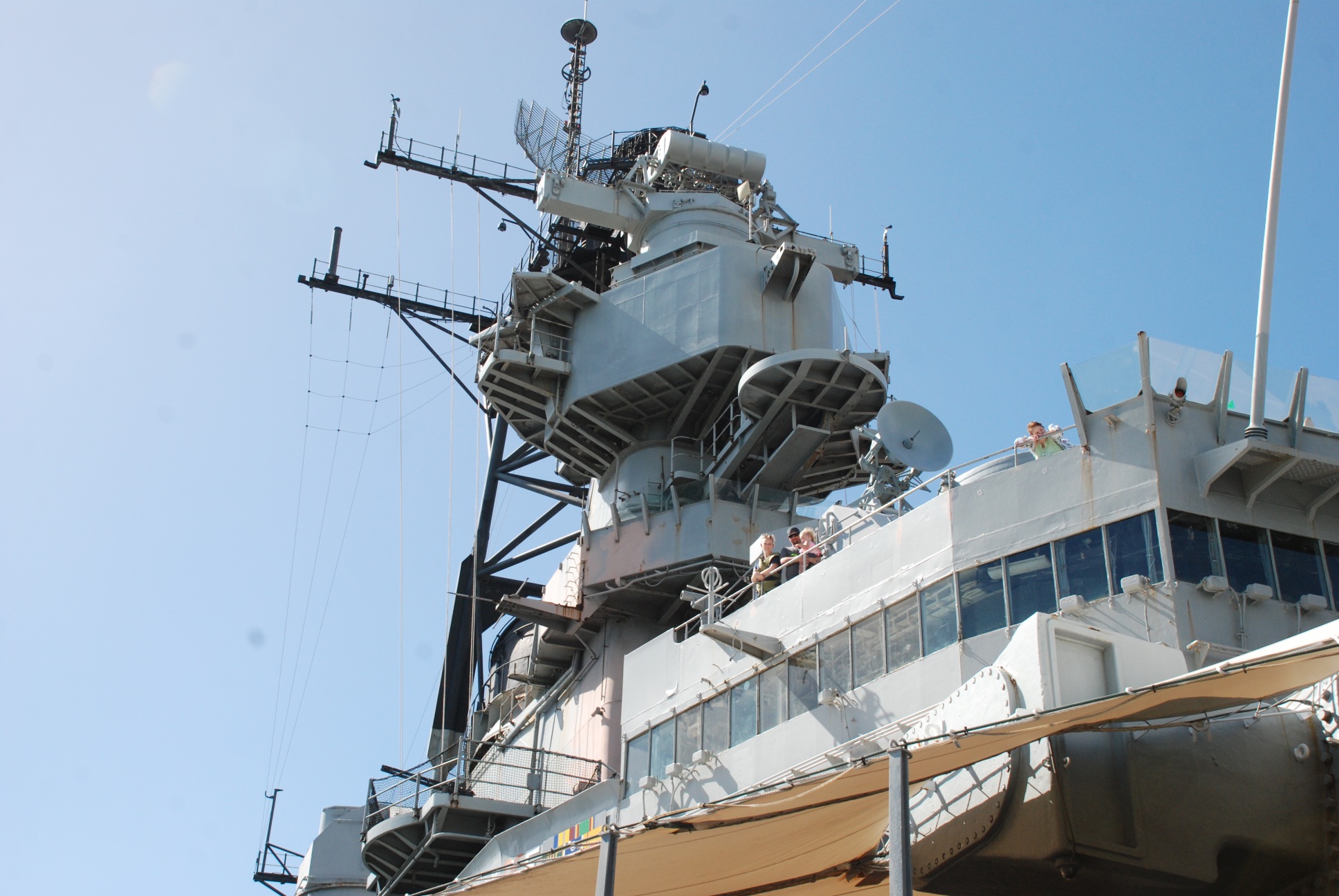 Back on the main deck we looked up and saw...
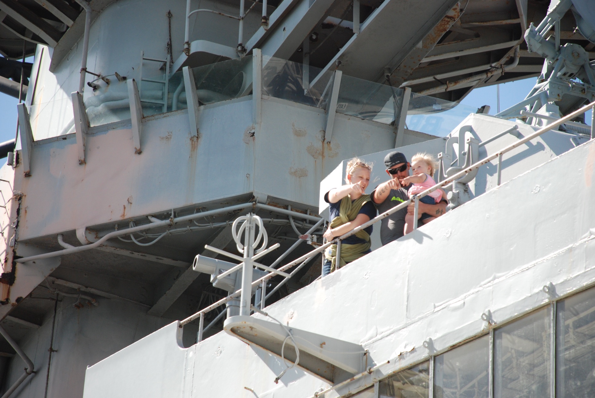 Katie, Kurtis, and Kirby.
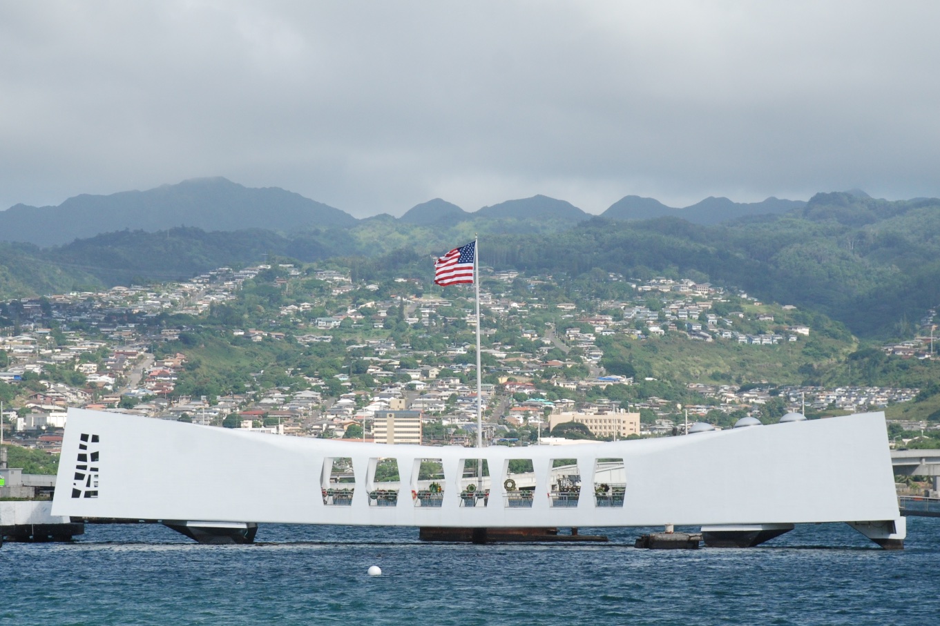 A disappointment was not being able to go to the U.S.S. Arizona Memorial. This memorial is directly above the Arizona that still holds many of the 1177 men who were killed during the bombing that sunk the ship.
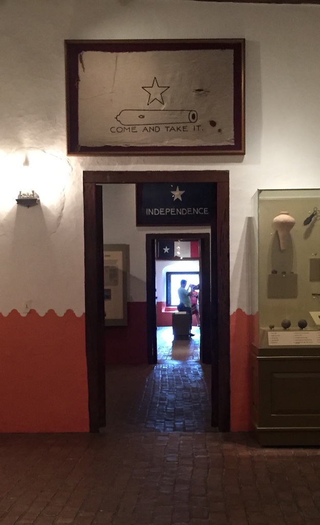
 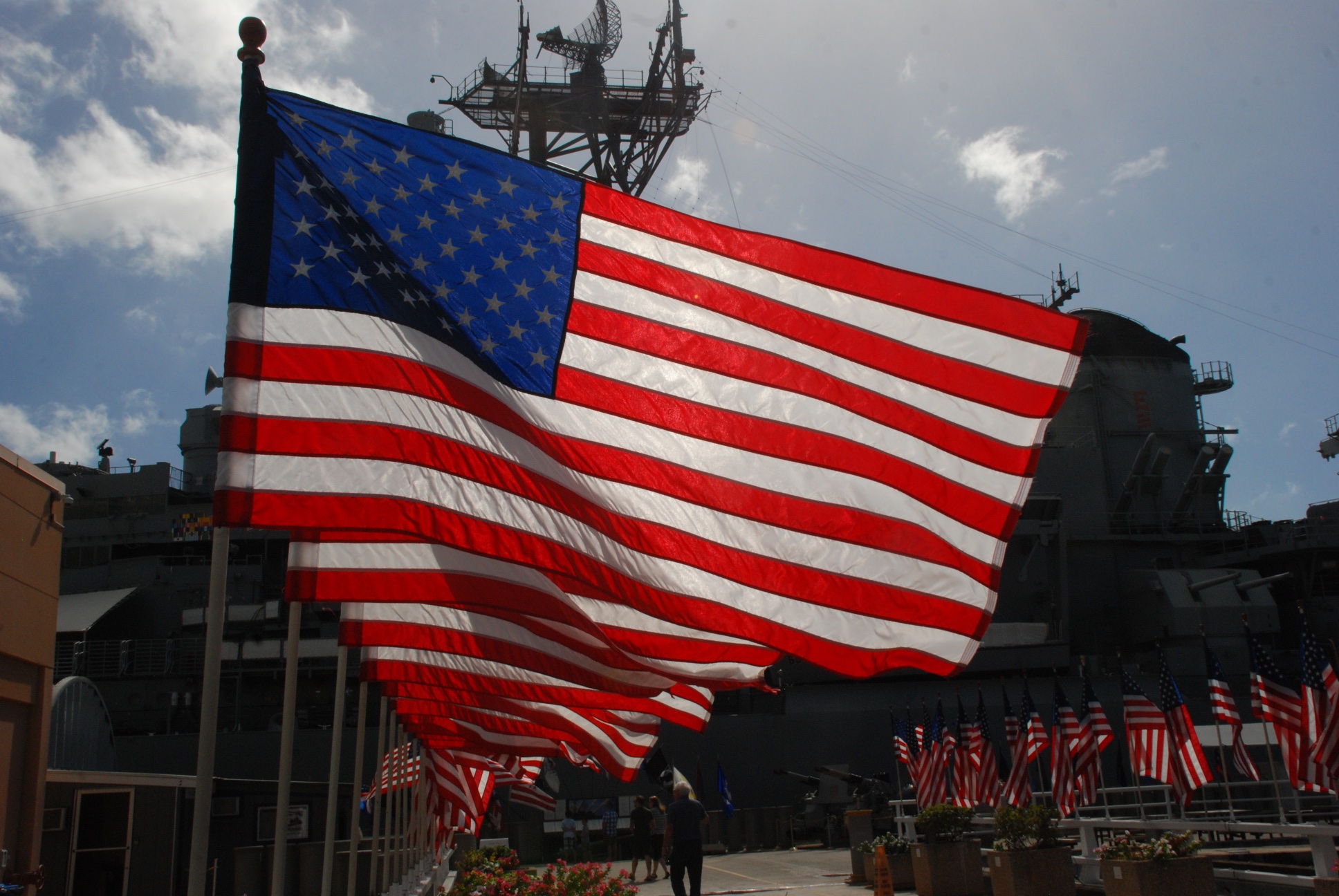 During the day my thoughts kept going back to the National Museum of the Pacific War, the moving exhibit in Fredericksburg, Texas (birthplace of Admiral Nimitz) that we saw in July (
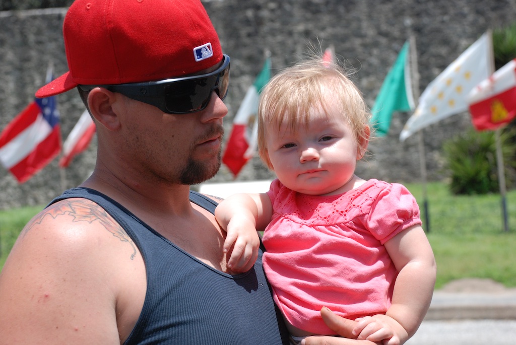
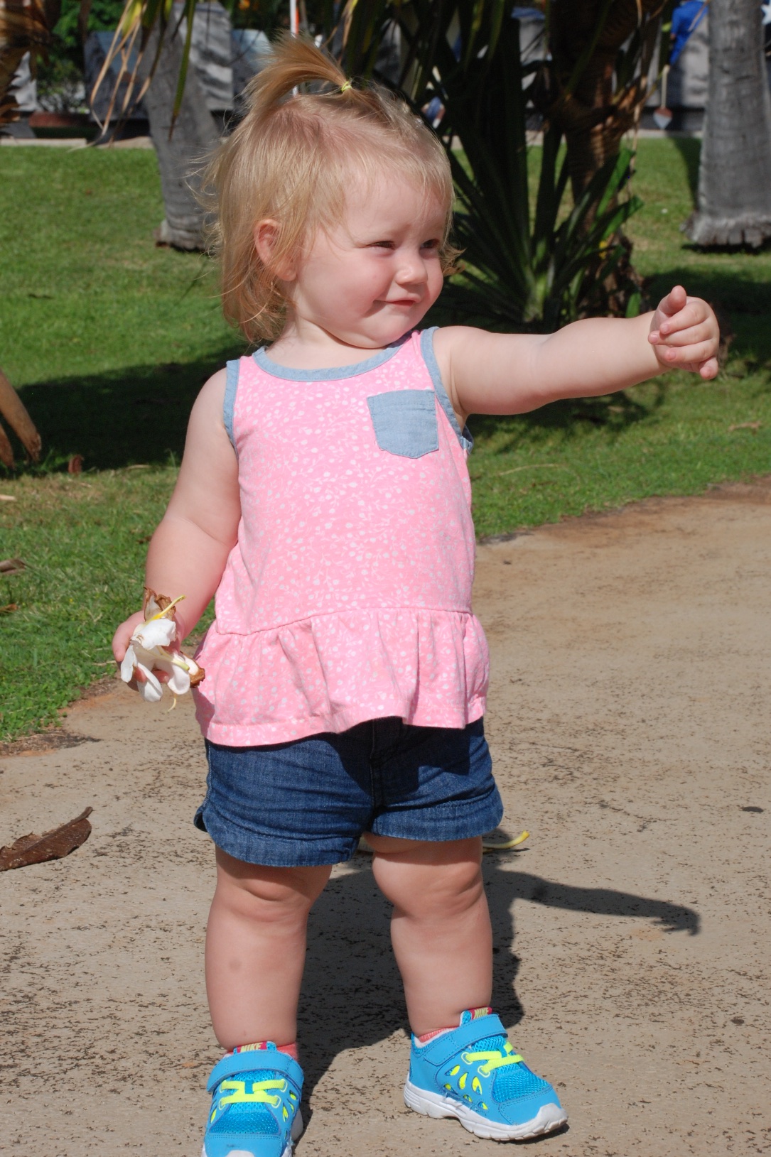 Toddlers don't care about this stuff. Chasing birds and picking up flowers from the lawn are more their style. (If I chose to make this blog more commentary and opinion this would be the point to discuss innocence and when/how does it change.)
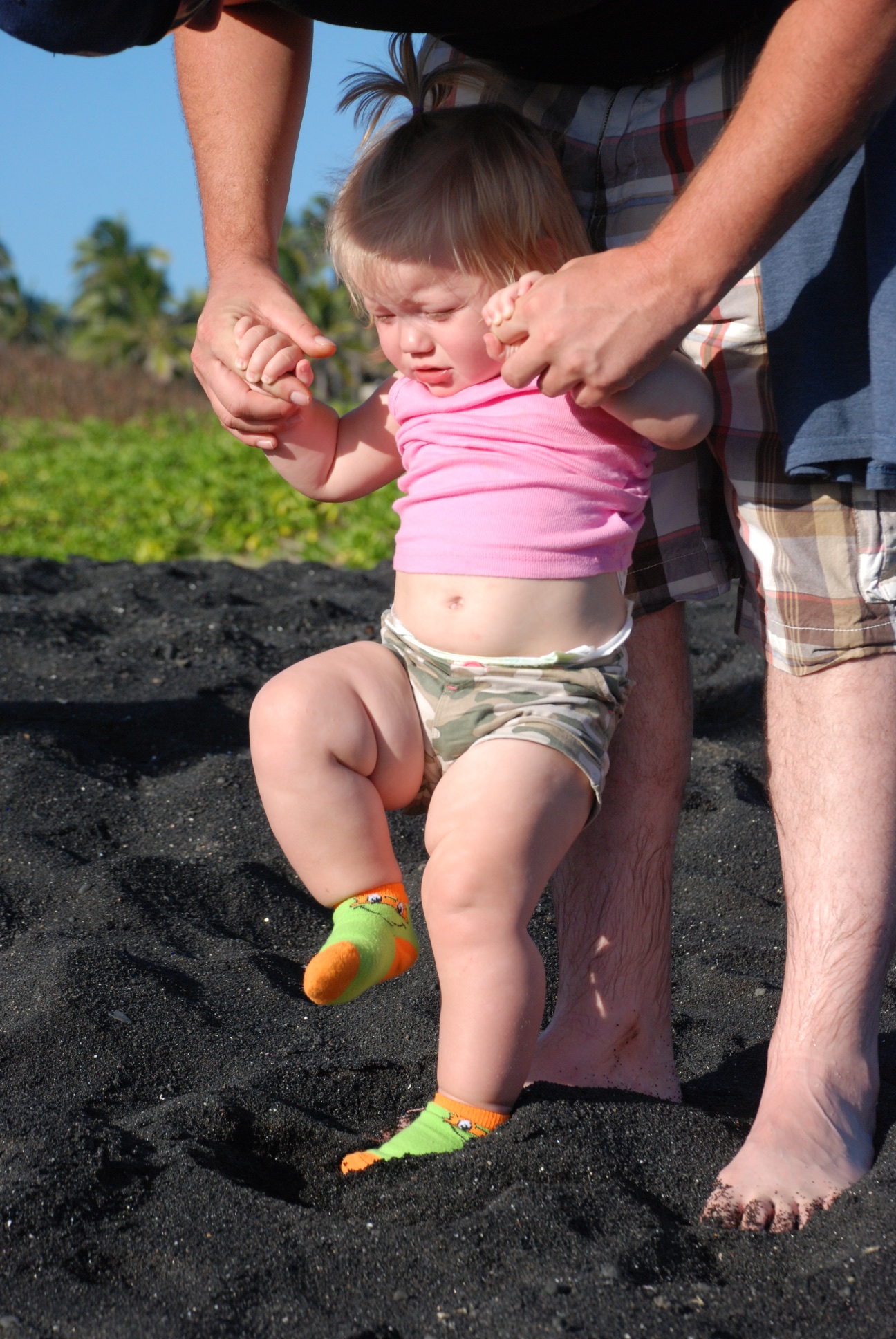 However, that didn't help Kirby want to step down into beach sand today anymore than the last three days.
 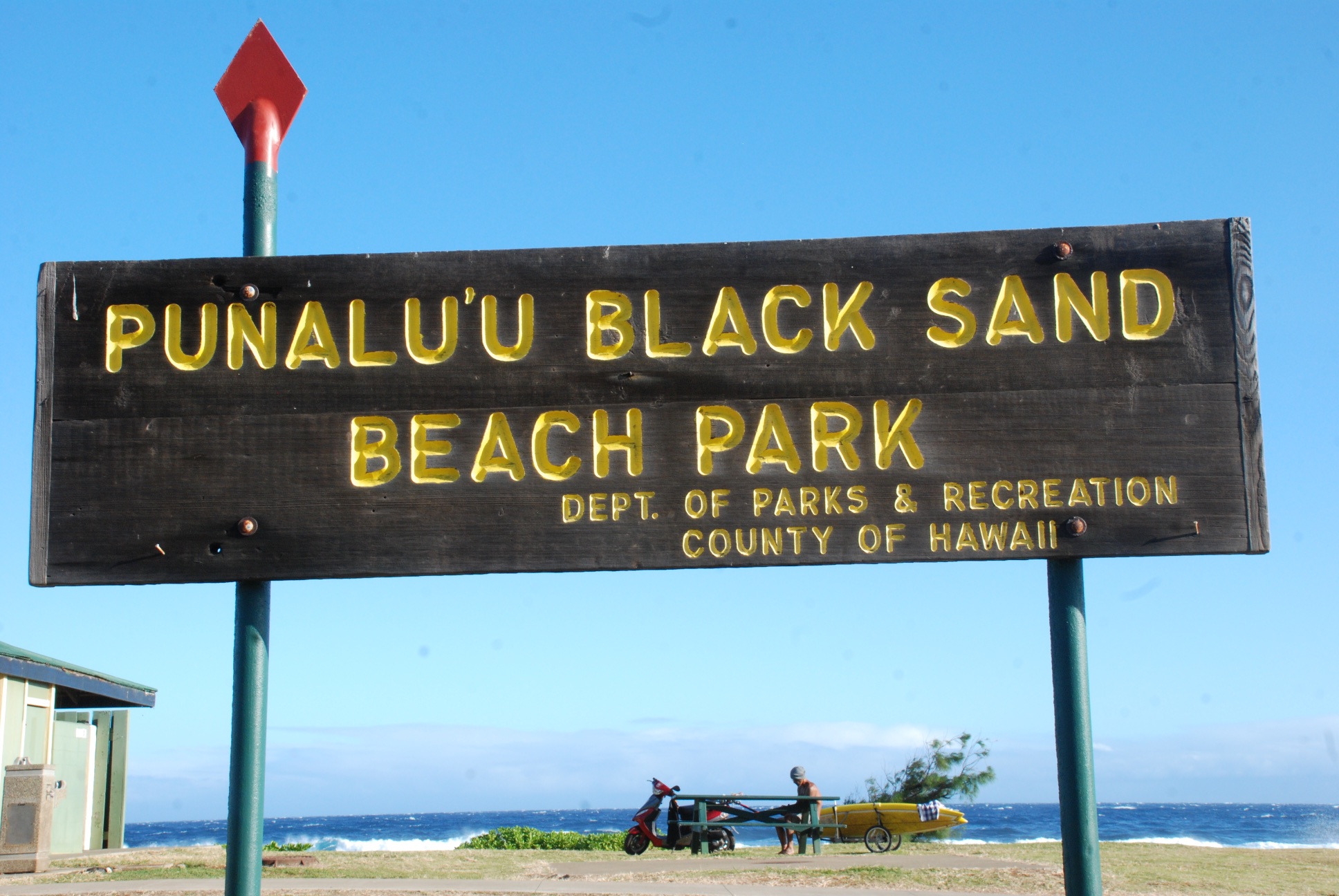 The Punalulu'u Black Sand Beach is well-known to host the endangered Hawaiian Green Sea Turtle.
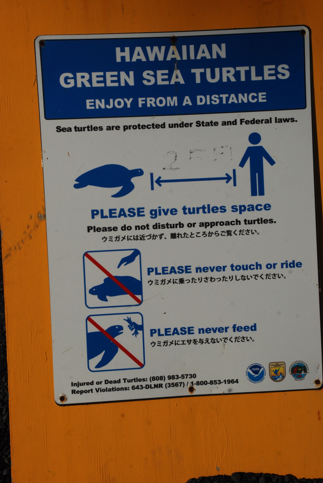 We weren't disappointed.
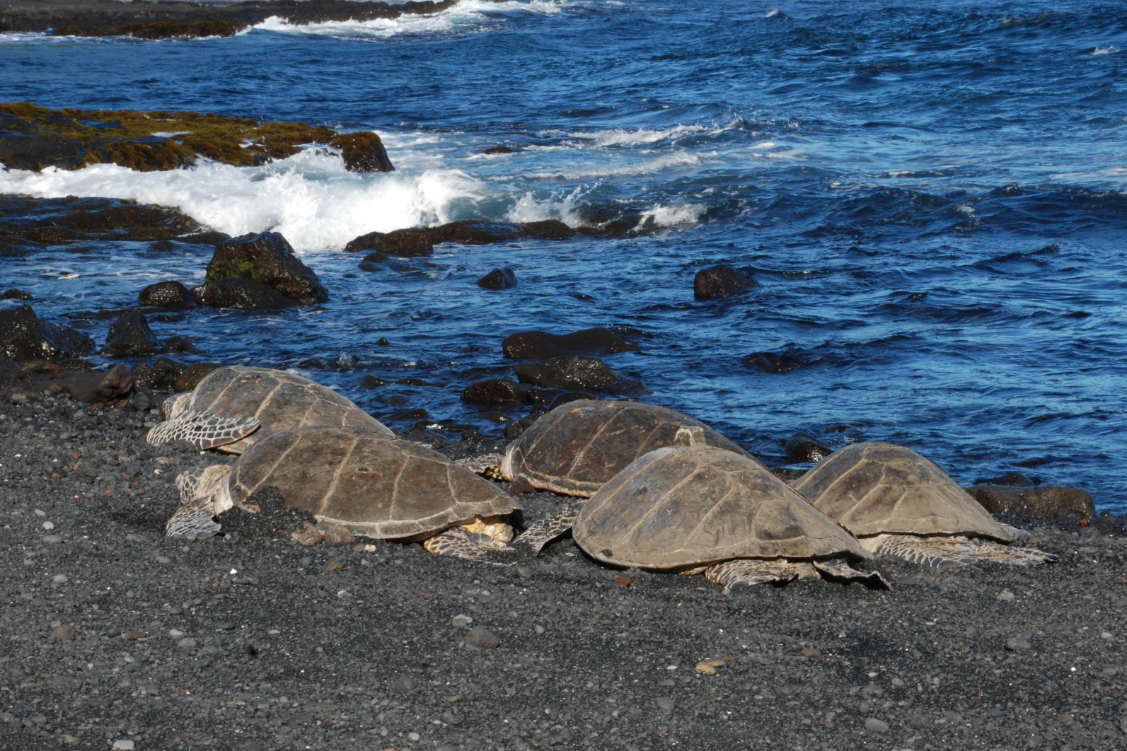 We found several turtles basking in the sand while onlookers watched from outside the stone "corral" that prevented them from coming too close.
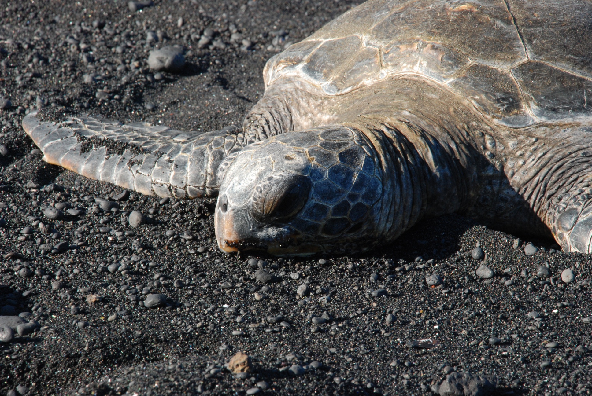 The population of these turtles was in steep decline during the 1970's due to harvesting of turtles and eggs, but numbers have increased since protection by the Endangered Species Act. The adults weigh 200-500 pounds and they are thought to live 60-70 years.
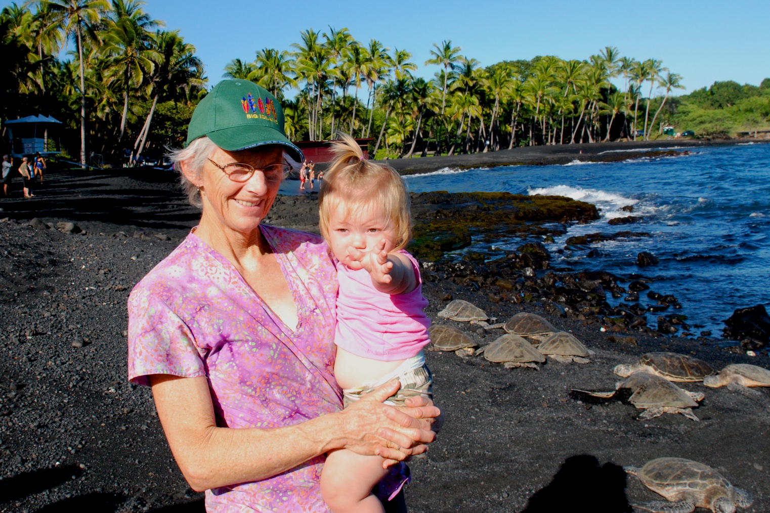 The turtles weren't moving so I don't think that Kirby really noticed them.
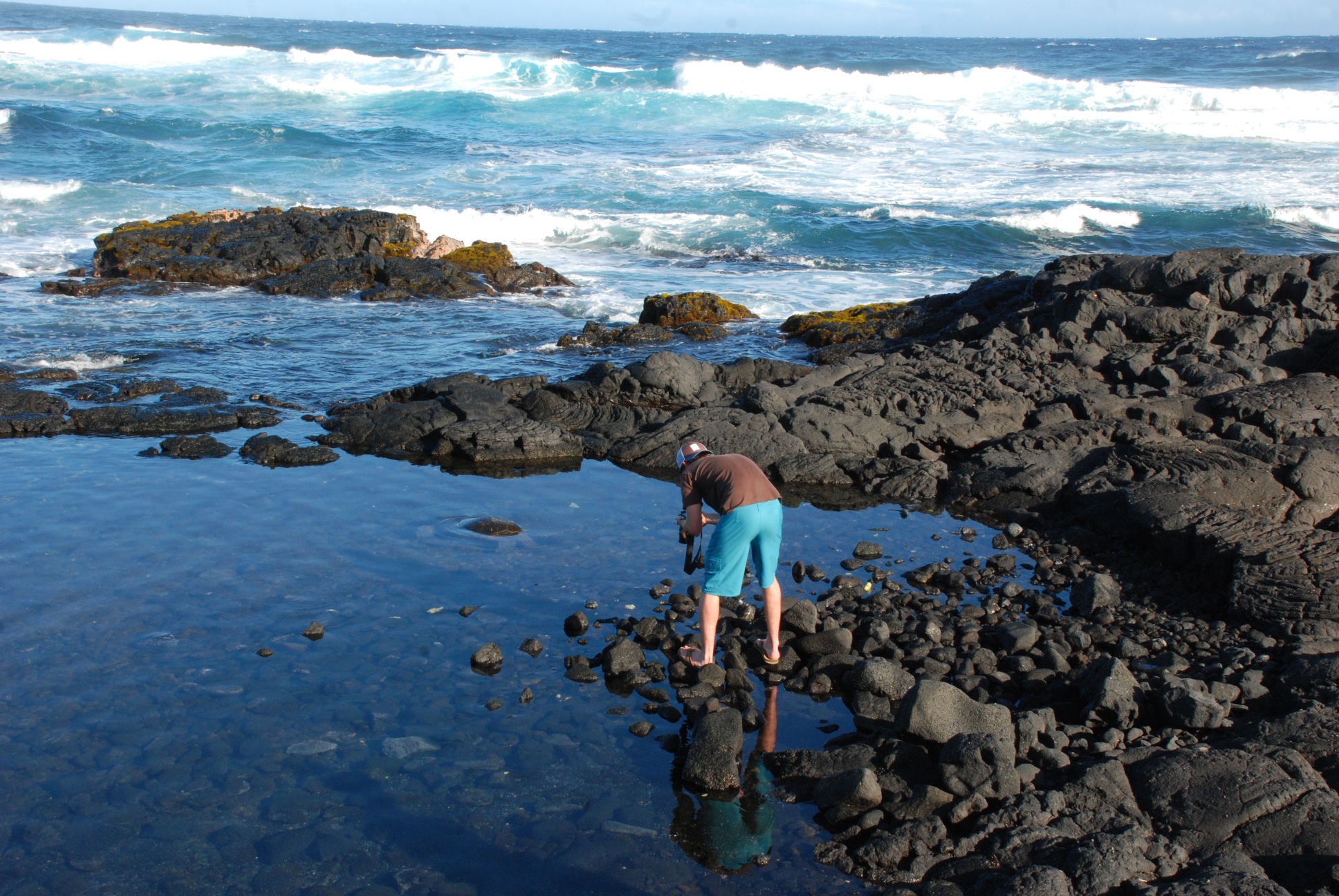 Matt found a little more action.
 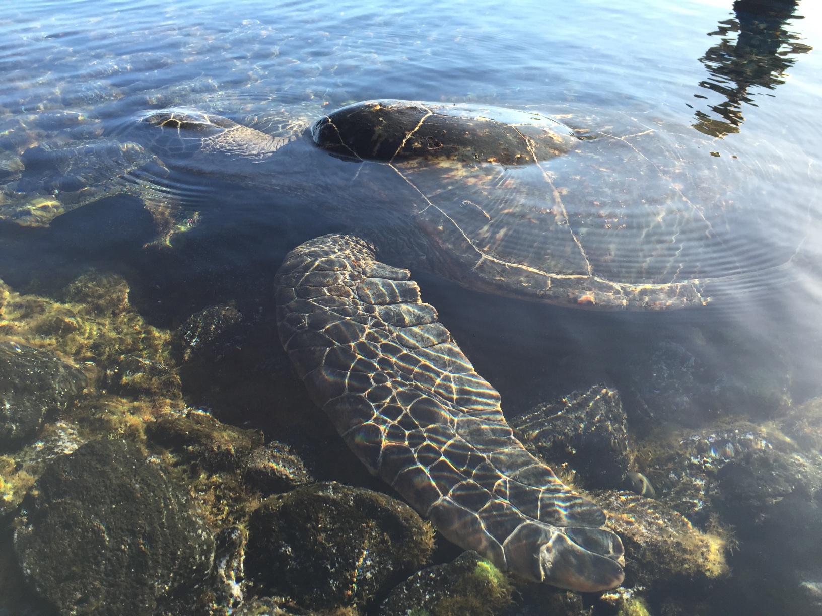 There were a few turtles swimming and eating in this pool.
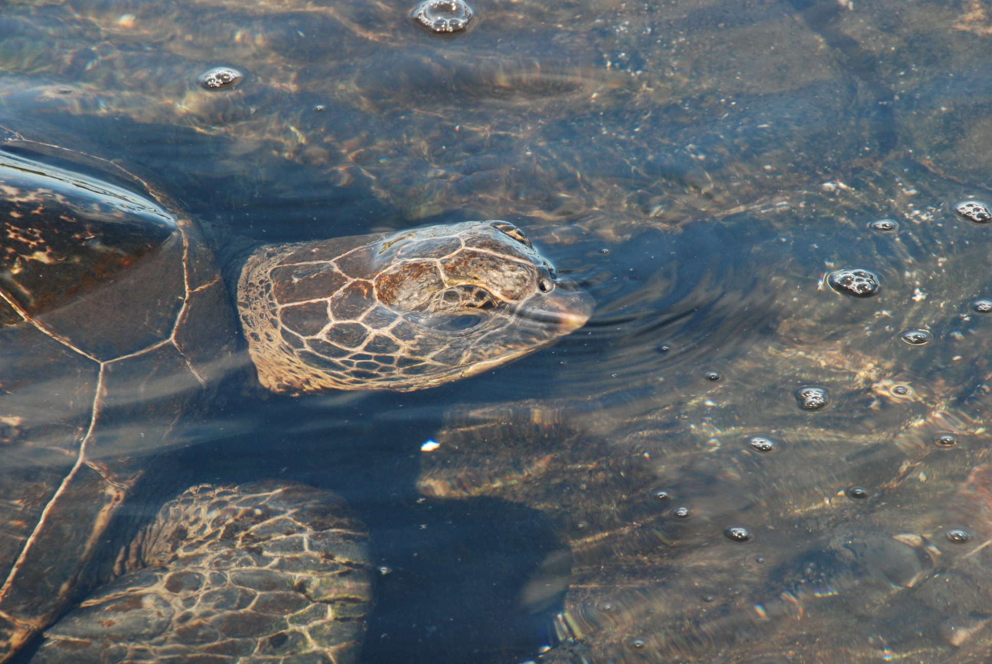 I took a video of this one as he (she?) approached me, blowing bubbles.
 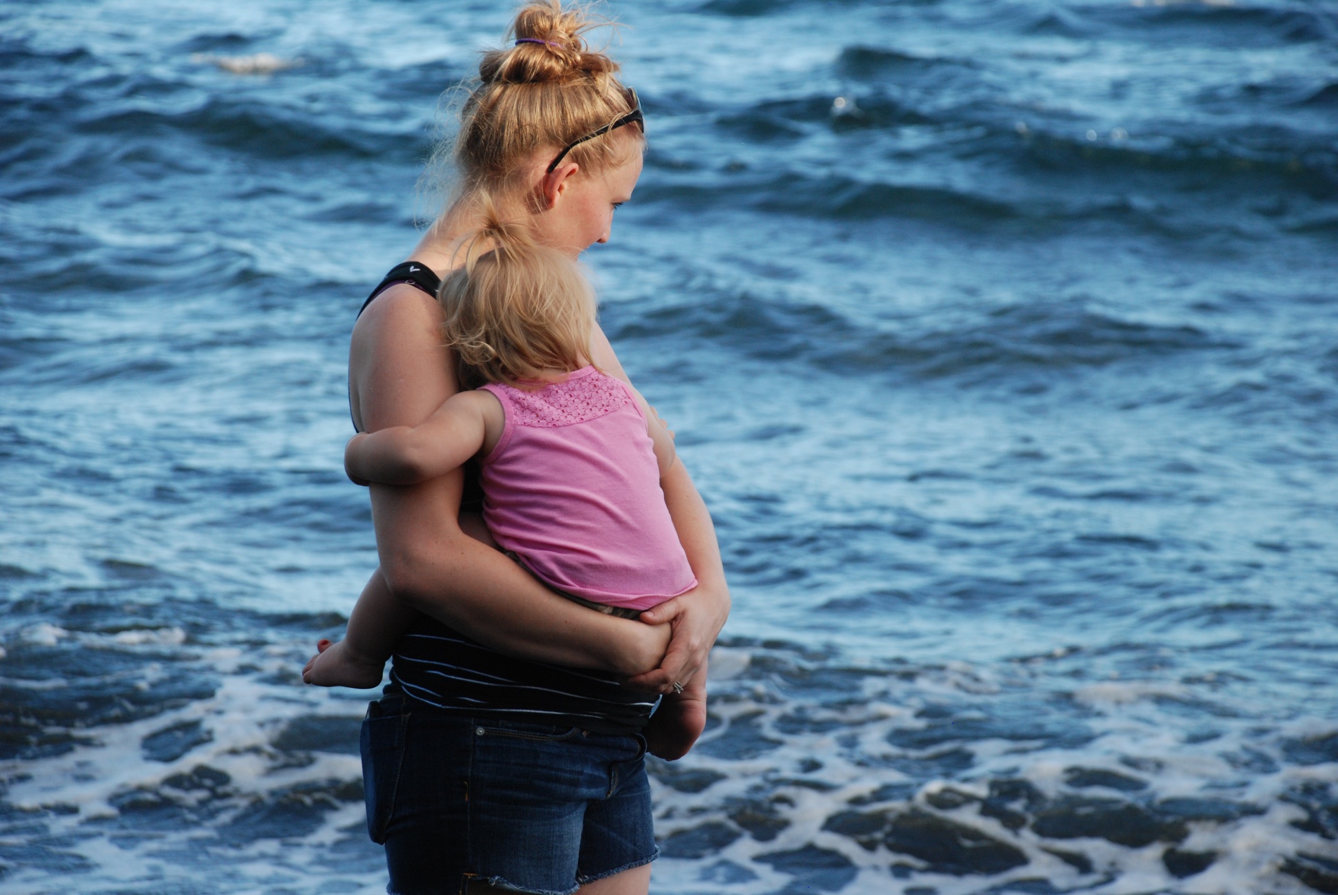 Even if Kirby had been a fan of the beach, she would have probably been too tired to enjoy it here.
 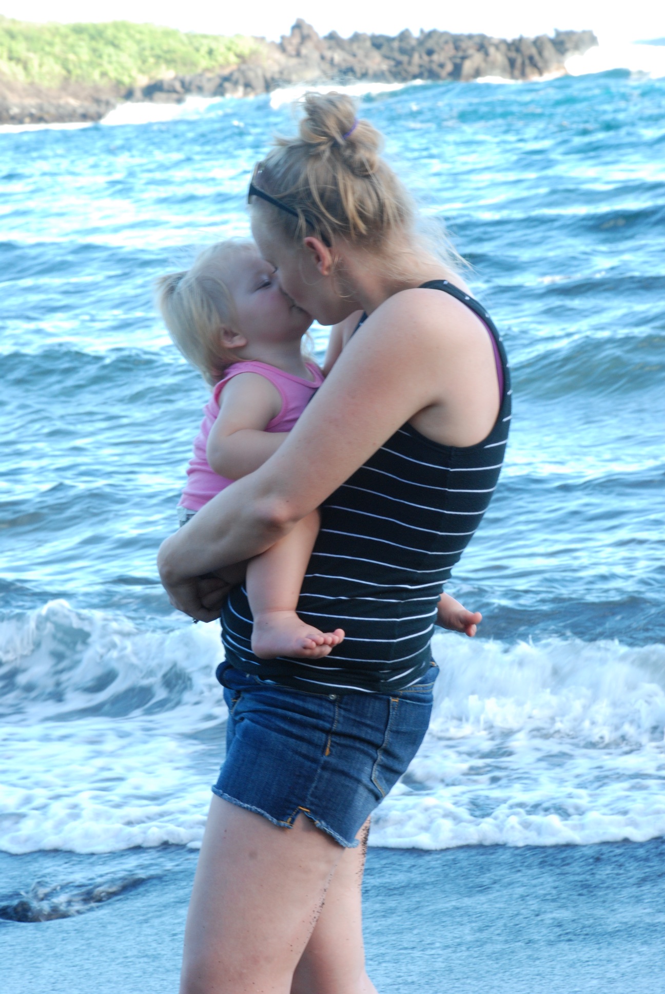 It's better to be in Mama's arms...
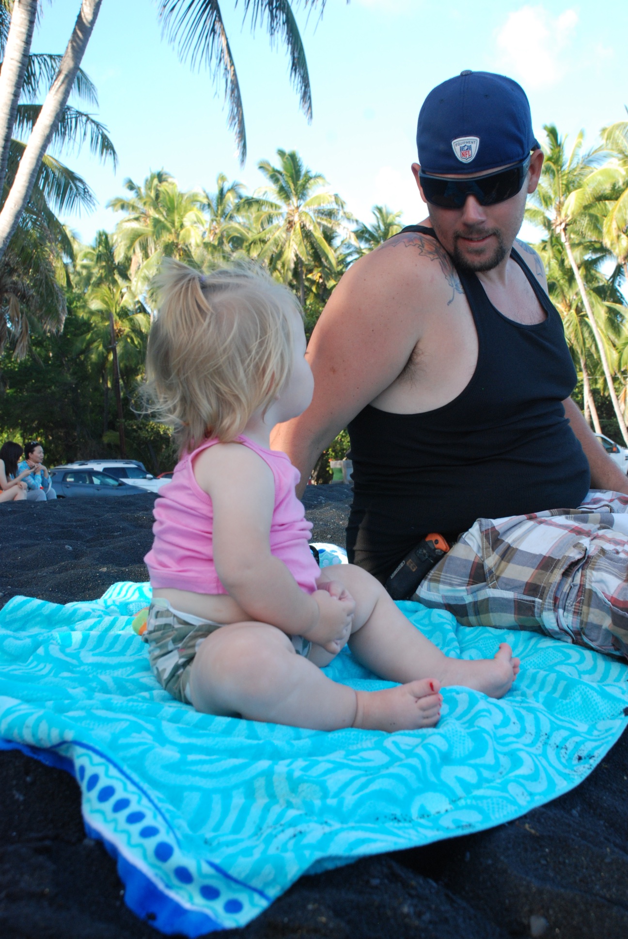 ...or better yet, sitting on a towel next to Daddy.
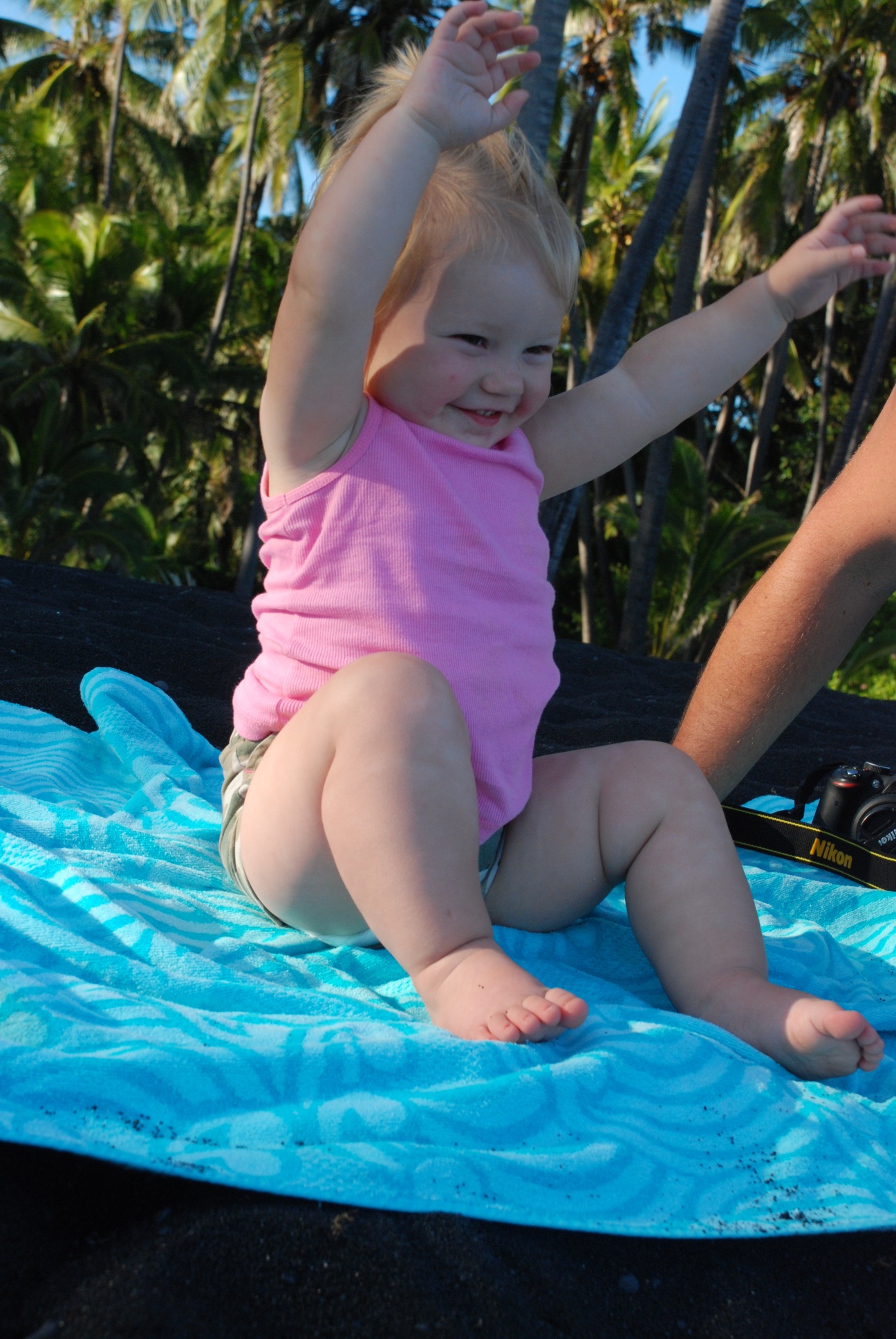
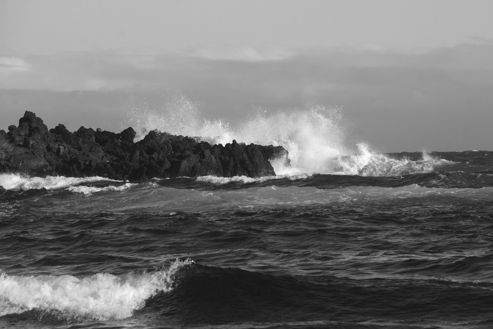
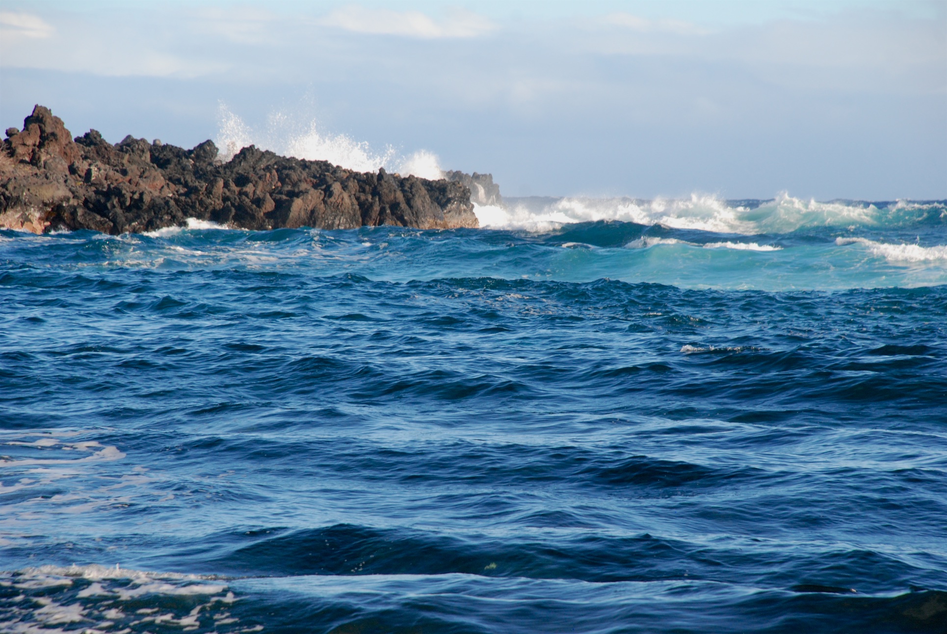 Beautiful water, whether it's in blue...
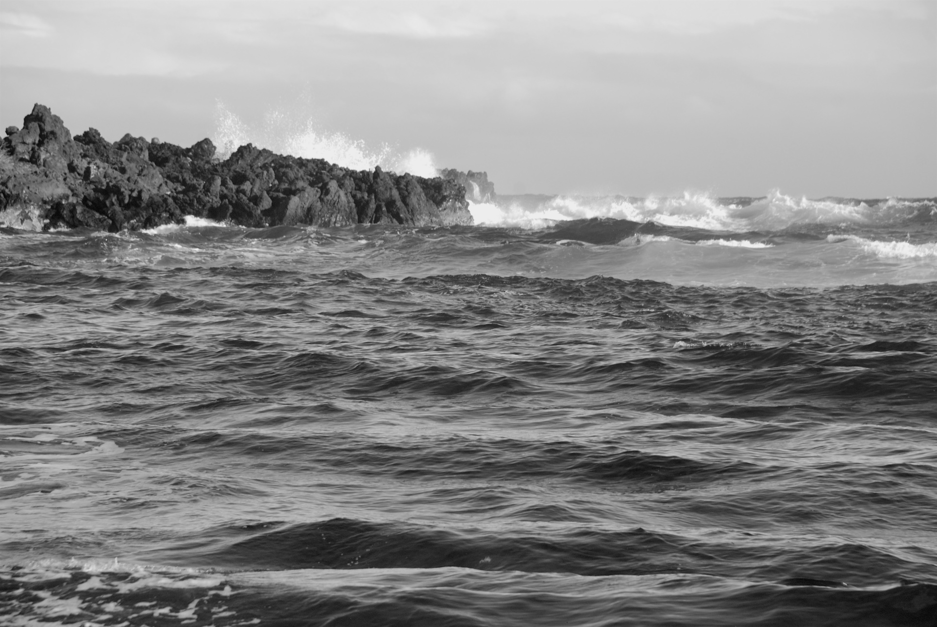 ...or shades of gray.
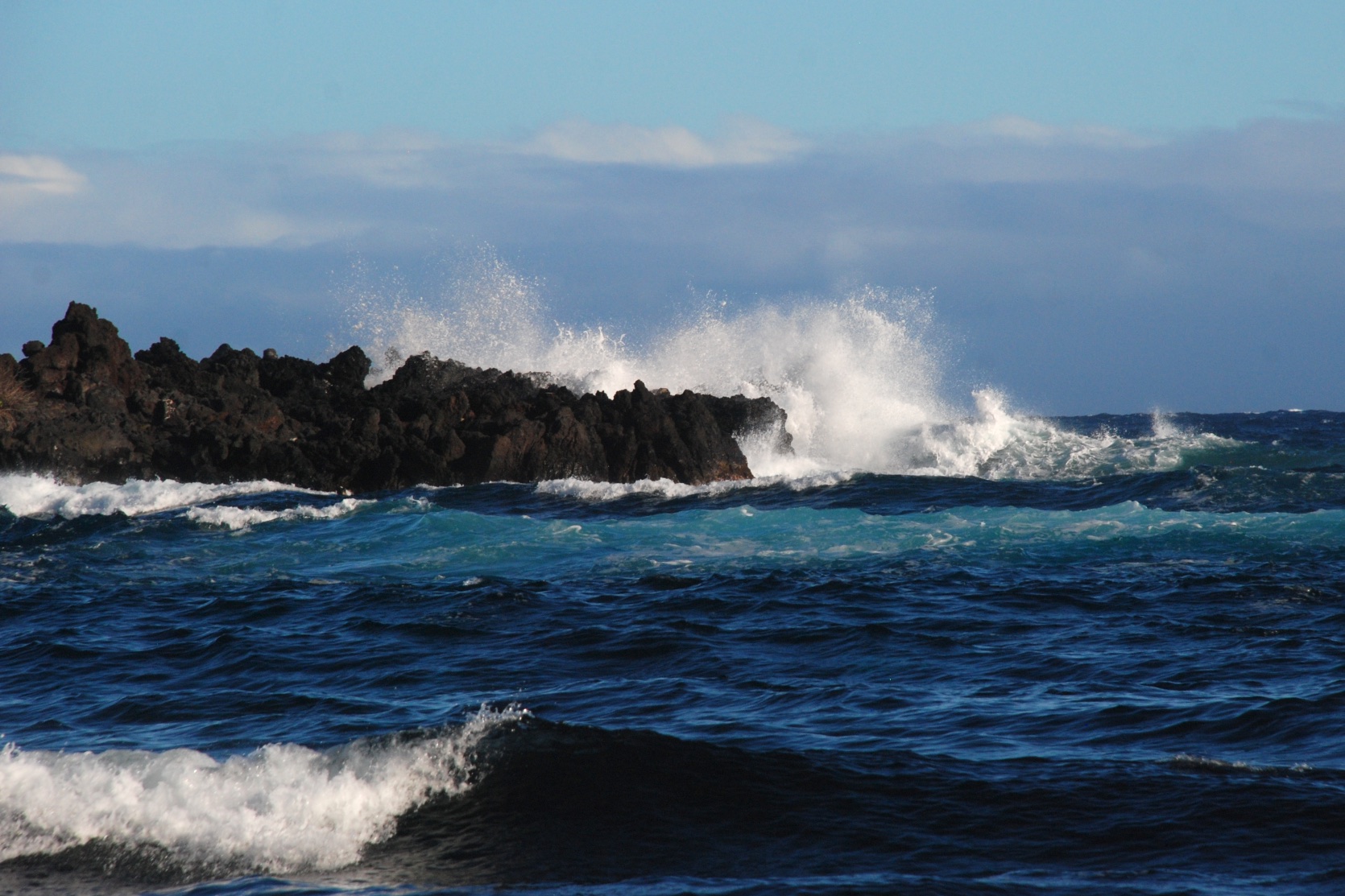
 We spent a little time in the visitor center and museum but mostly drove through the park, getting out to look at points of interest...
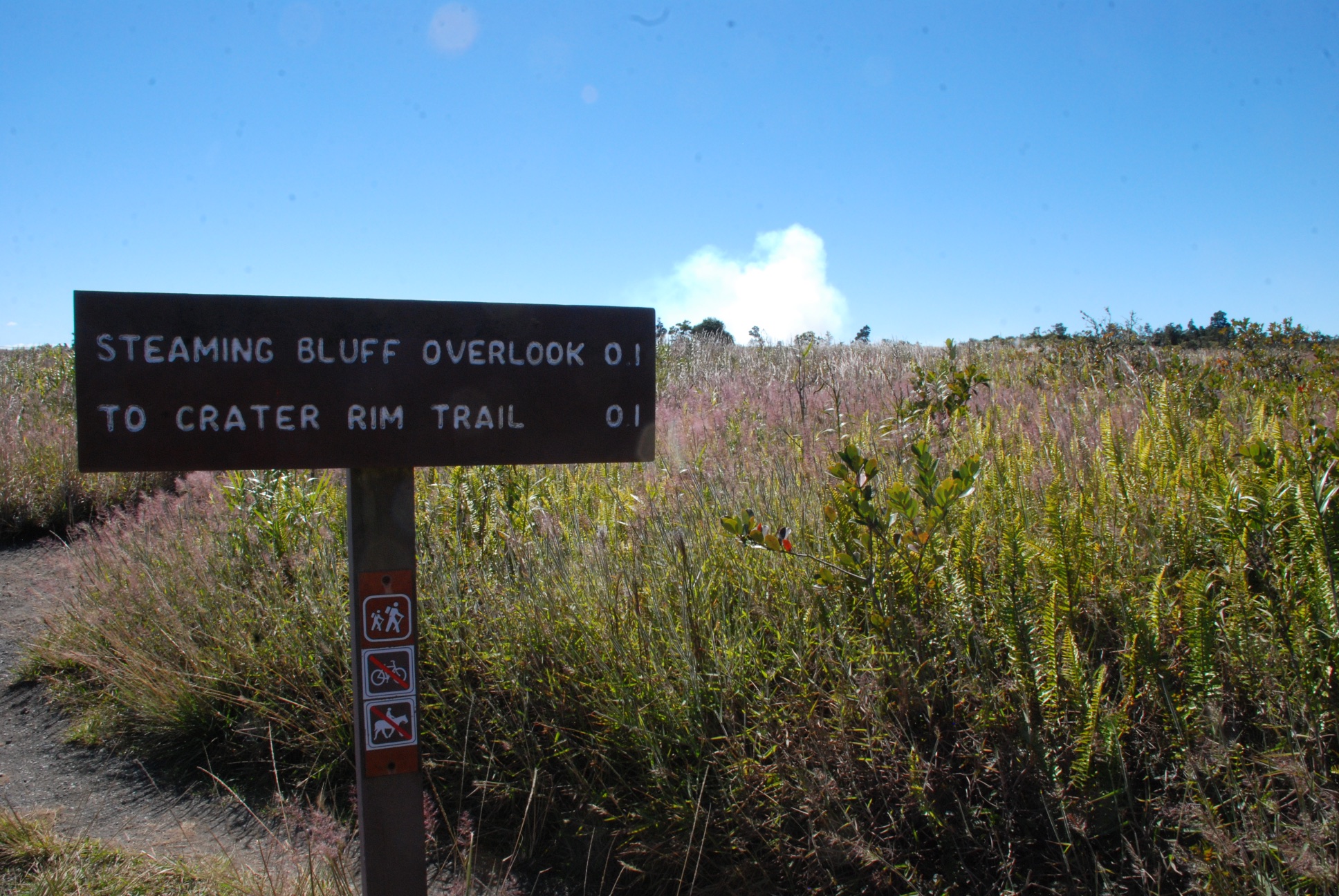 ...and take photos...
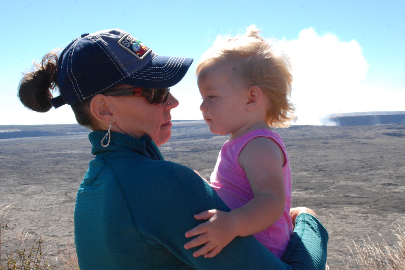 ...a lot of which, unlike most of my exploring/hiking trips were of family.
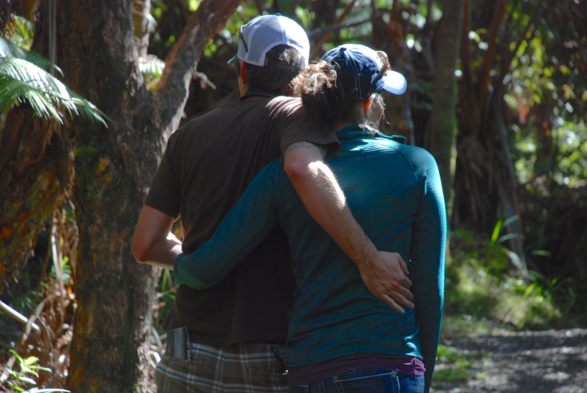
 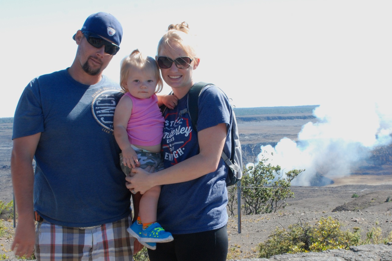 I'm not sure that even amazing, steaming volcanoes can compete with beautiful family pictures...that is, pictures of beautiful family.
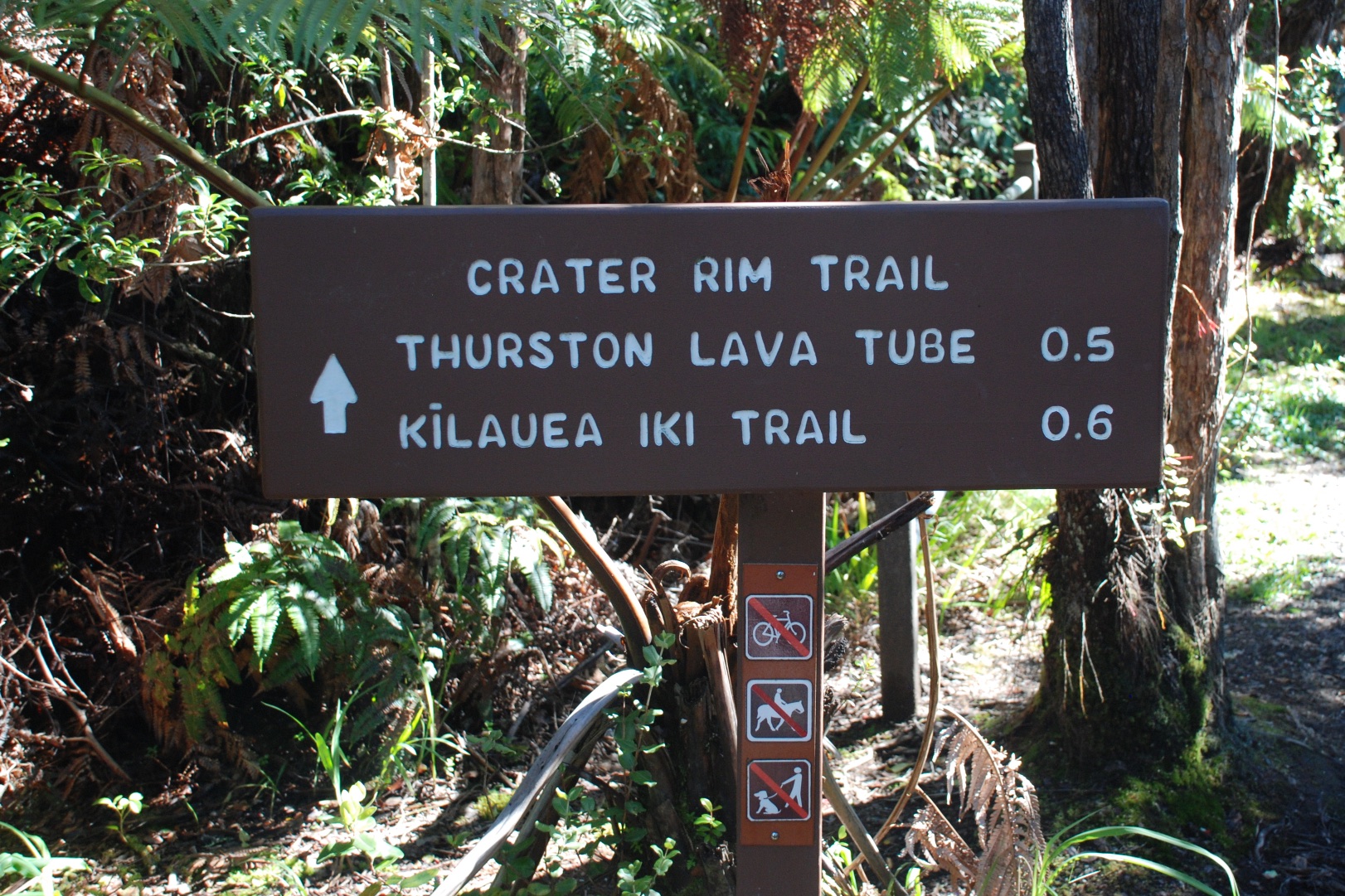 However there were plenty of other arms to hold Kirby on this adventure so I did try to get some photos of our surroundings, especially of the area of rain-forest where we walked.
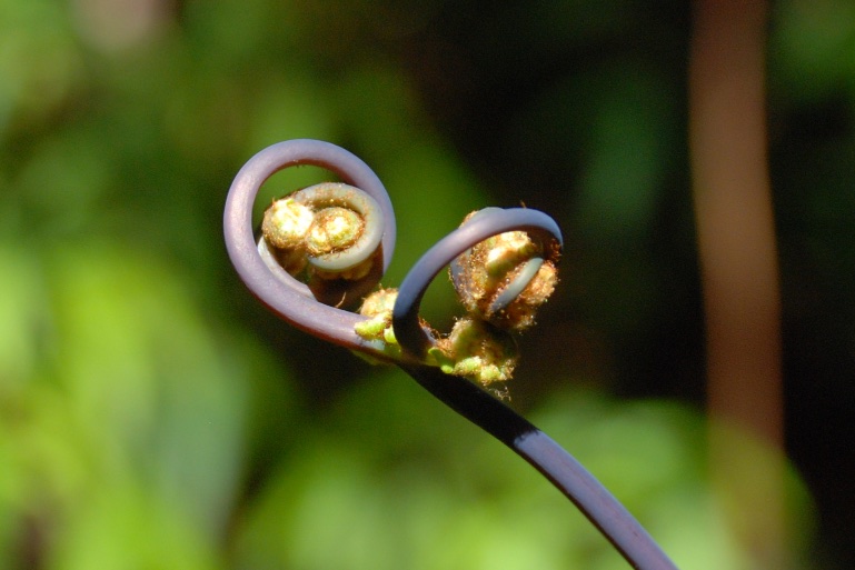
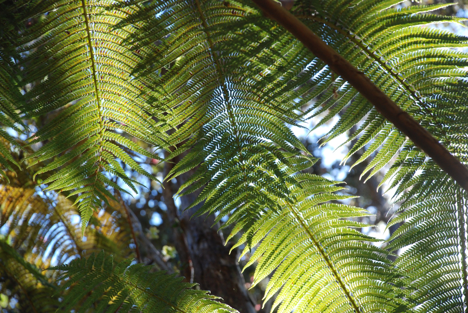
 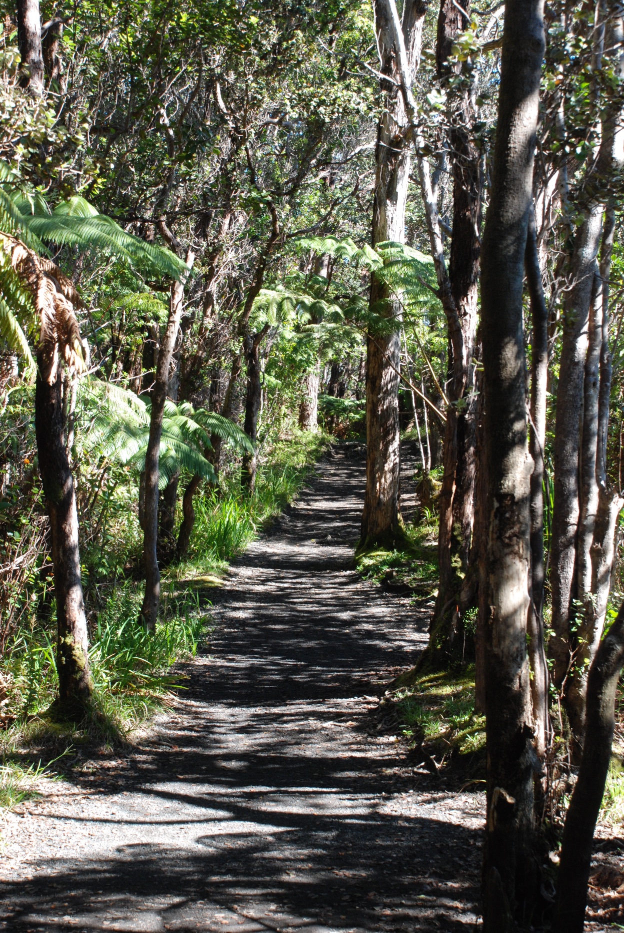 While much of the Park is more desert like this part of the trail is through lush rainforest.
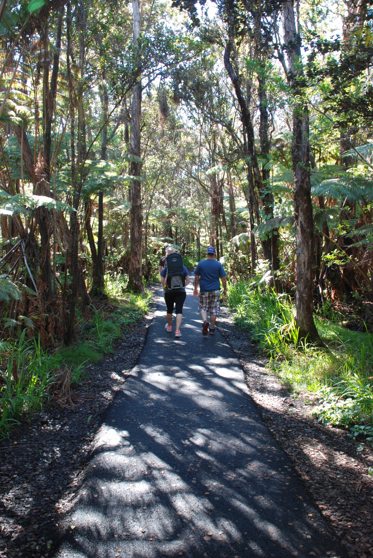
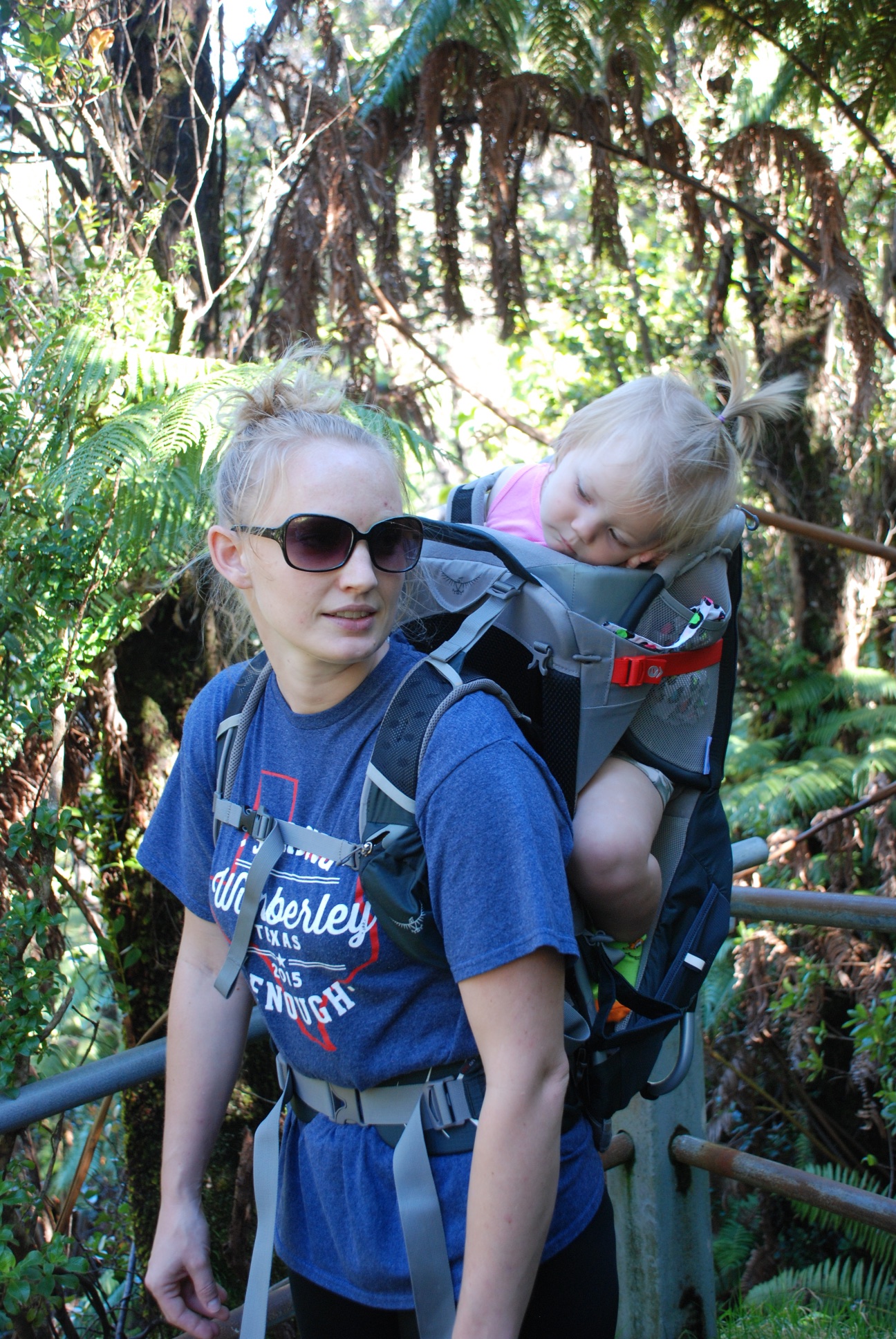 This had already been a long day for Kirby but she did well in her backpack.
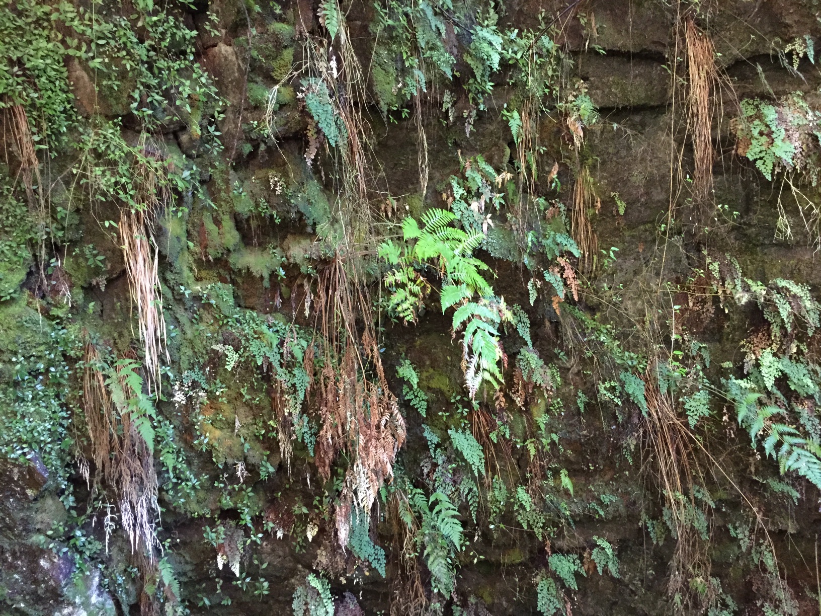 This is on the wall to the entrance to the lava tube.
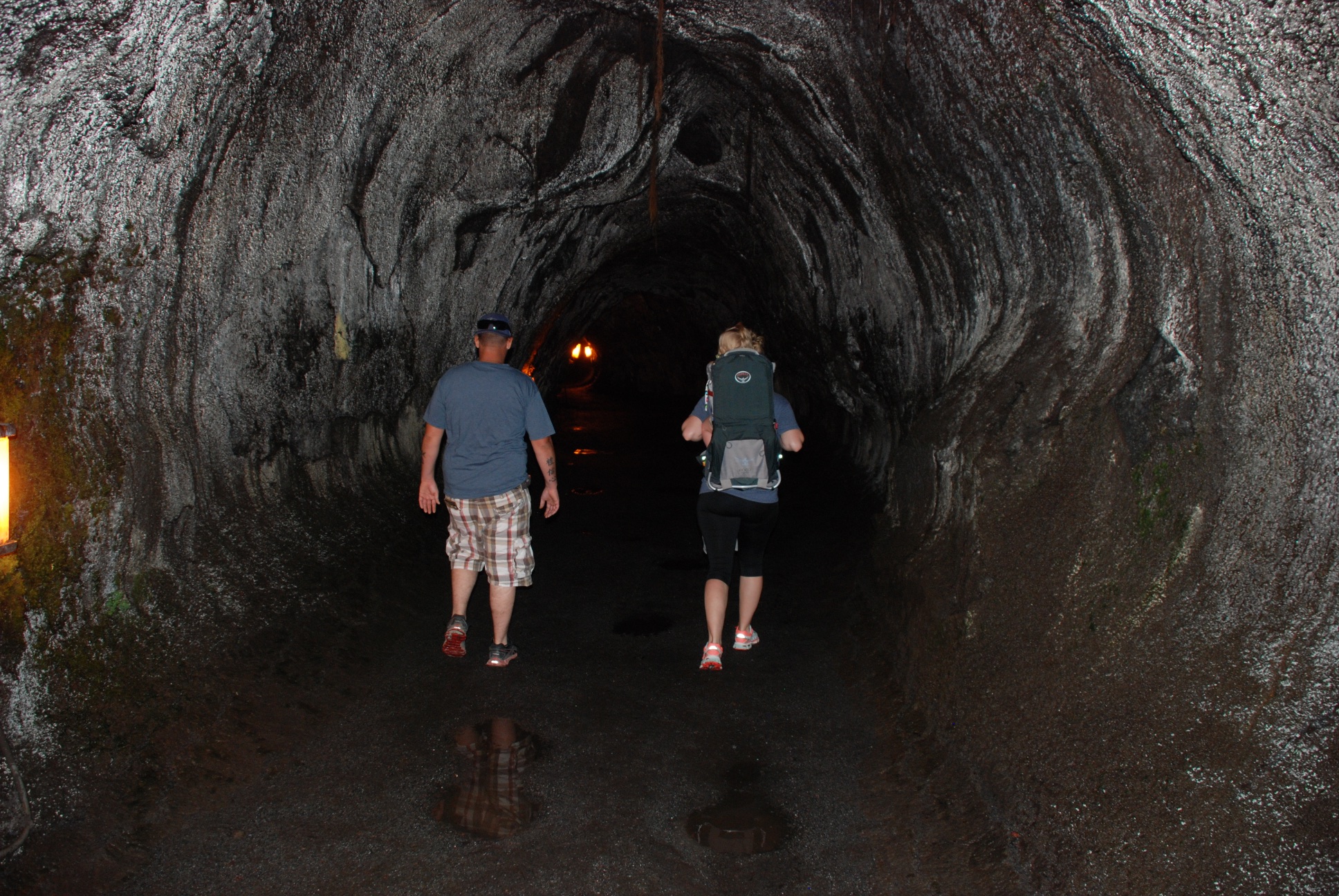 Lava tubes are formed as slow moving lava cools to form walls, but the inner hot lava continues to flow.
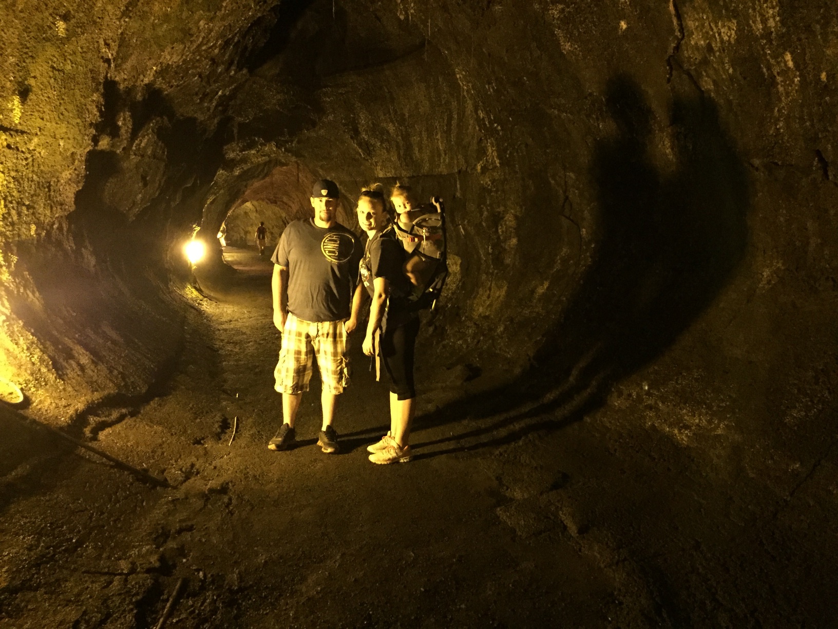
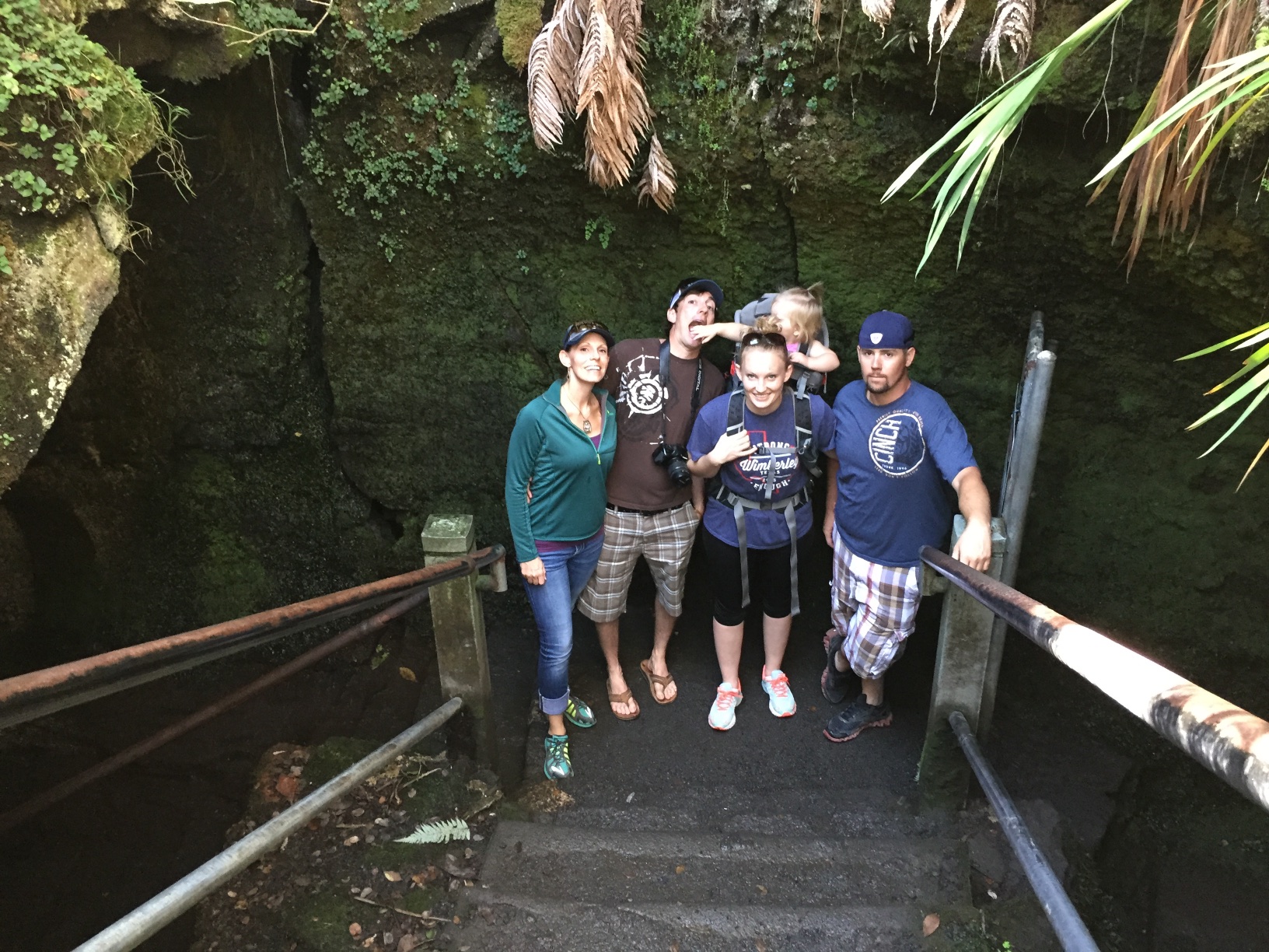 Leaving the lava tube.
 Seen in the parking lot. Should I decide to move to Hawaii, do I have a job waiting for me?
 Catching a nap before Part 2 of the Blog.
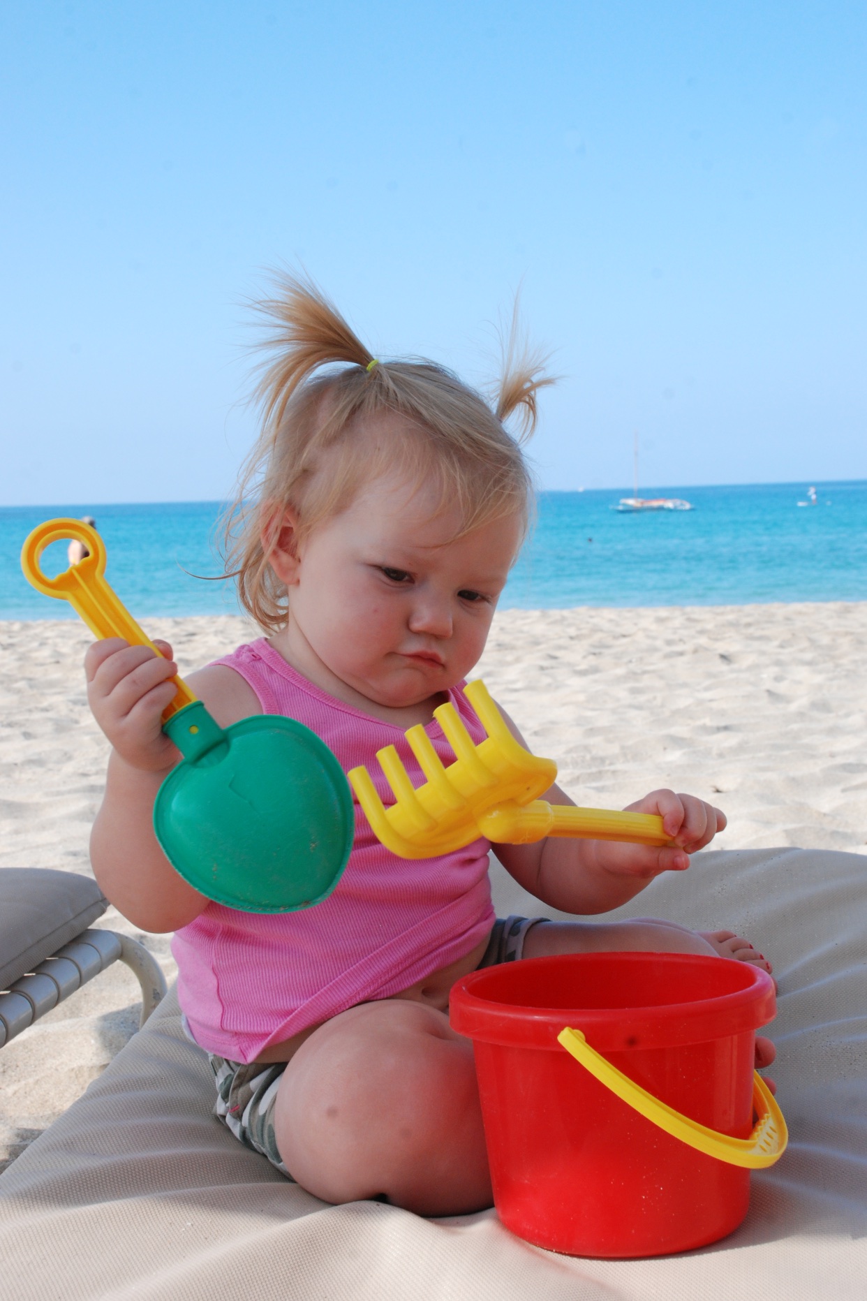 While the big kids swam and paddle boarded and snorkeled Kirby and I walked on the beach. Or I should say I walked on the beach and carried Kirby. She still didn't like the sand or the waves. At one end of the beach we found lounge chairs and buckets. As long as there was no sand she was happy. Another first for me. I went snorkeling with my kids and there is video to prove it somewhere. Very cool.
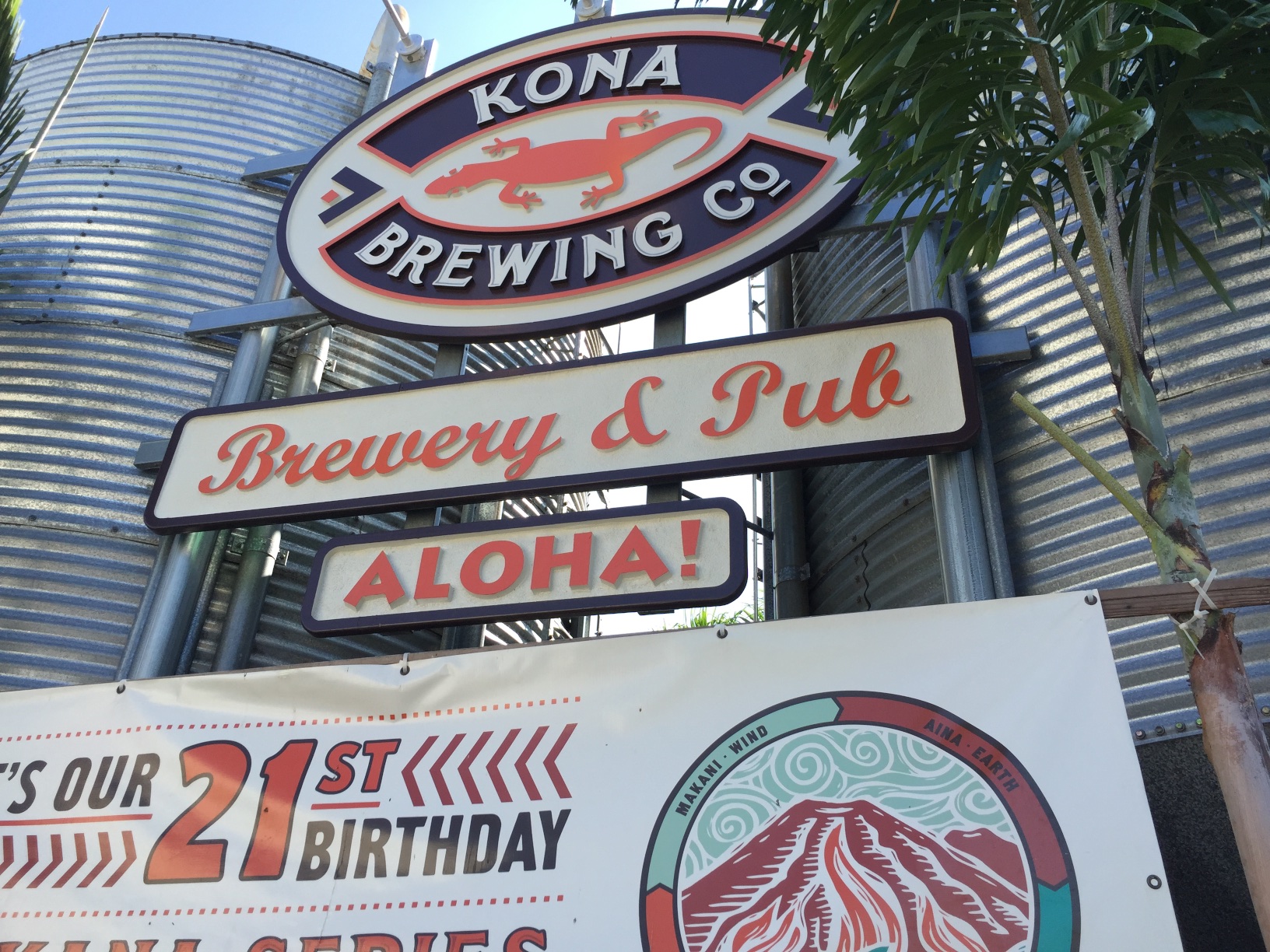 Dan had to get back to work and was leaving this morning so we cut the beach visit short. After he left we drove to Kona and had lunch at the Kona Brewing Company.
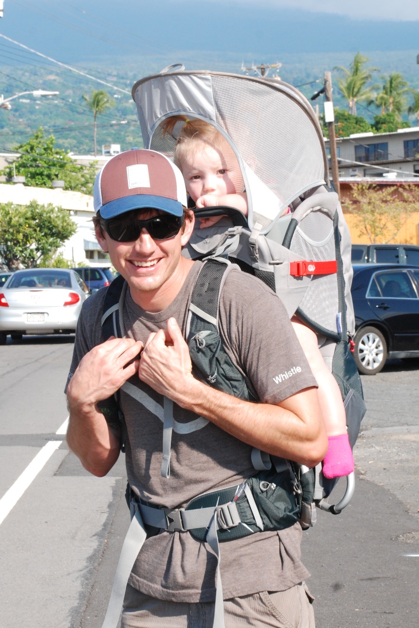 Then we loaded Kirby into her new backpack and went walking around Kona.
 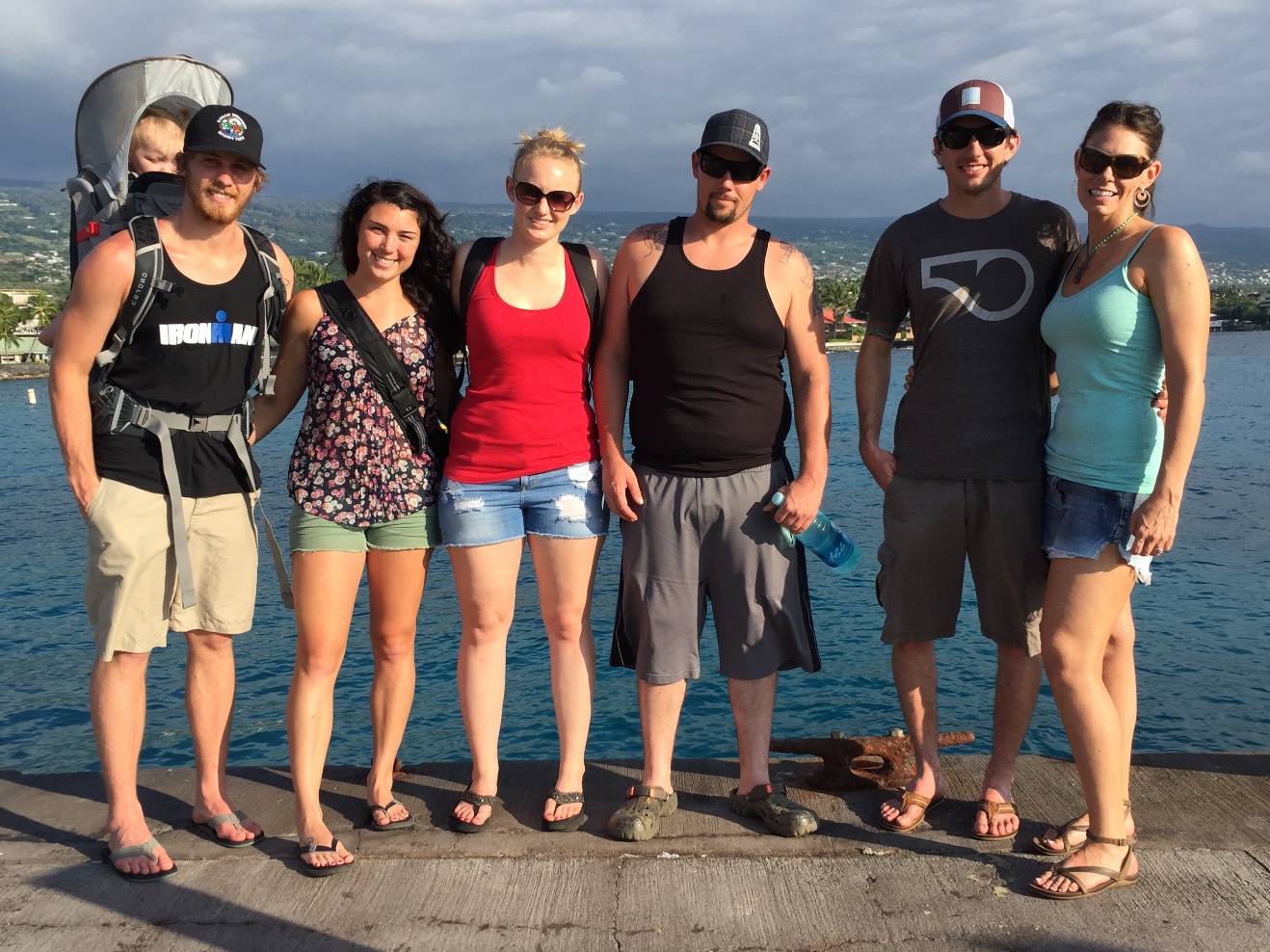 This is the dock overlooking the start area of the Ironman triathlon. My father-in-law (who lives in Hawaii and is why we were all here) has completed the Kona Ironman twice and for many years volunteered here. Chris has plans to someday qualify for entry in Kona.
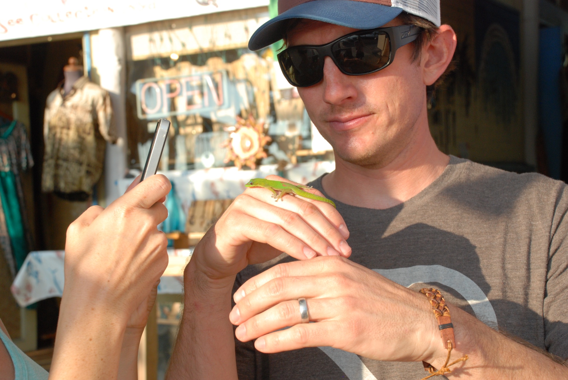 Some of the local wildlife...
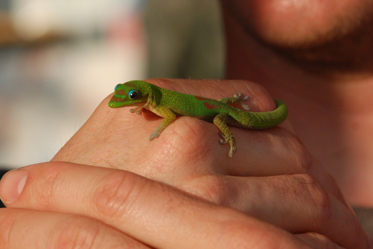
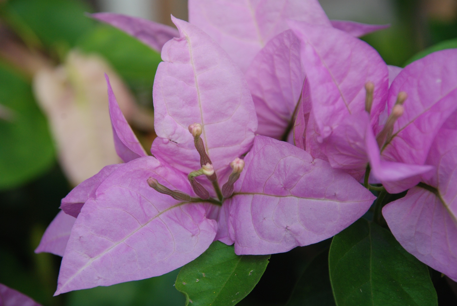 ...and color.
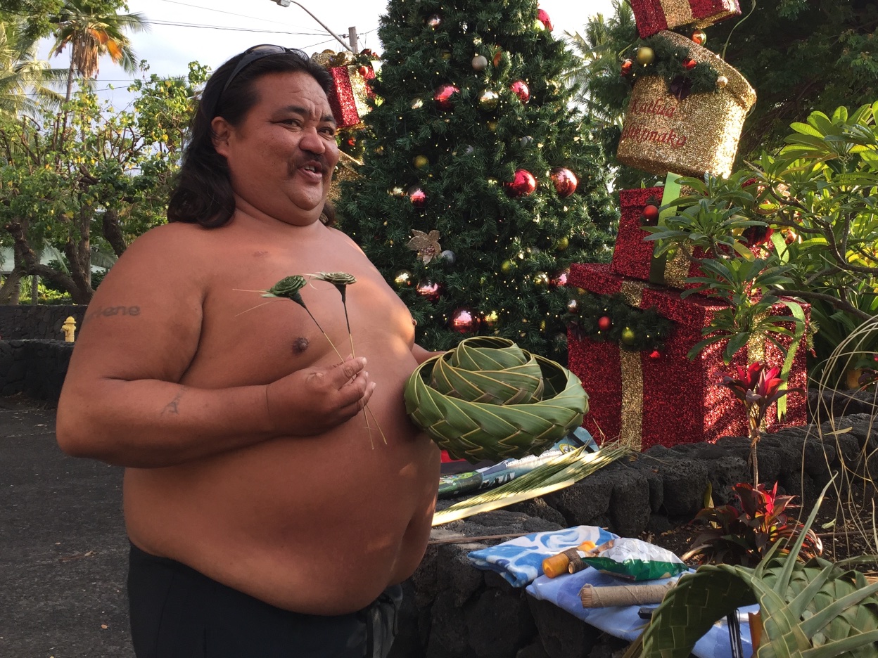 While the kids were looking in other shops I found a basket weaver and bought a few of his things.
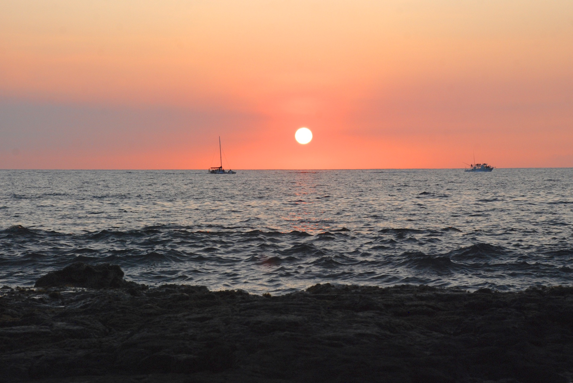 On the way back to our house we stopped north of Kona to catch the sunset.
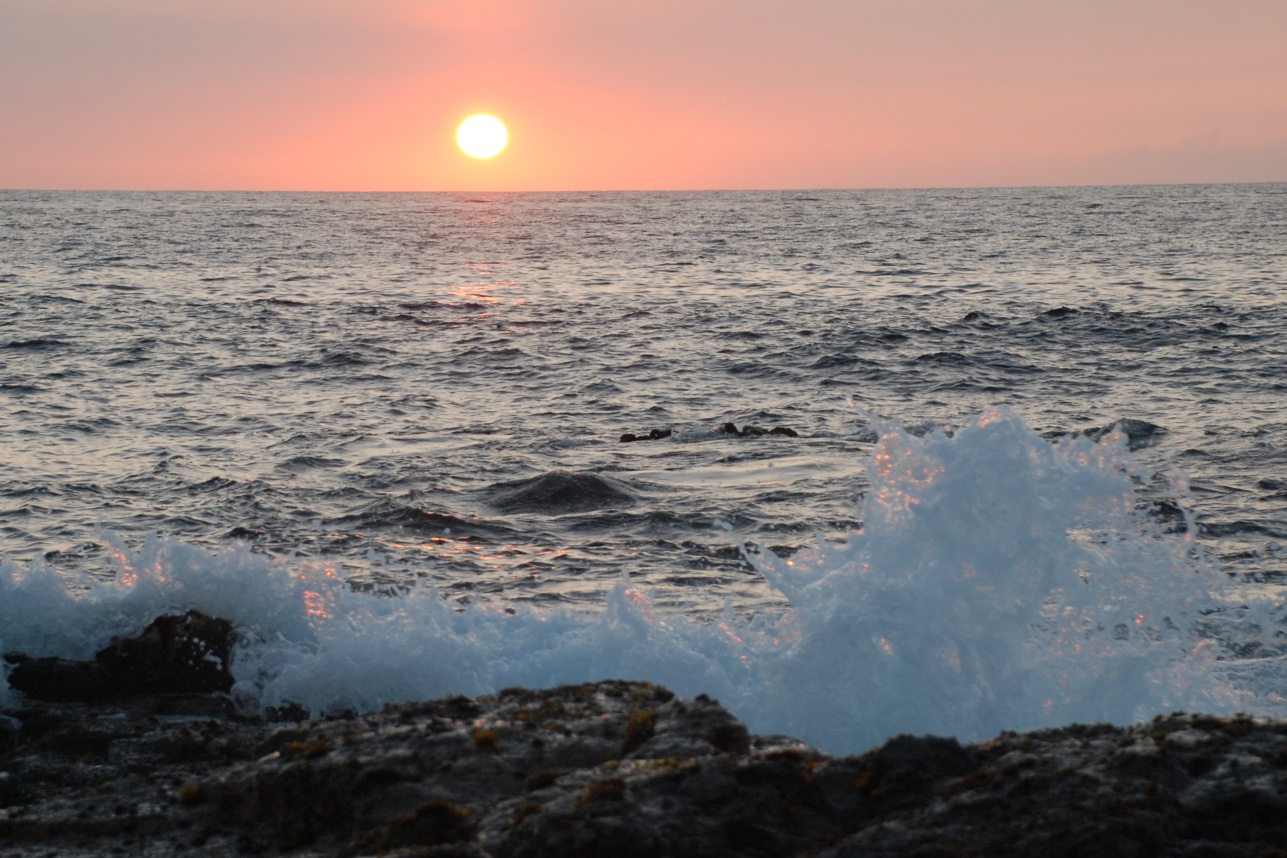
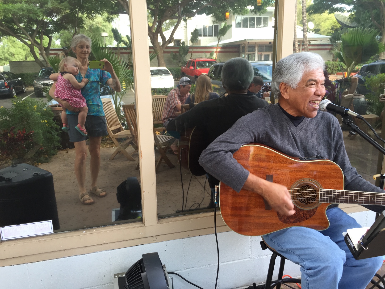 We enjoyed live music and I got a photo of Kirby and me.
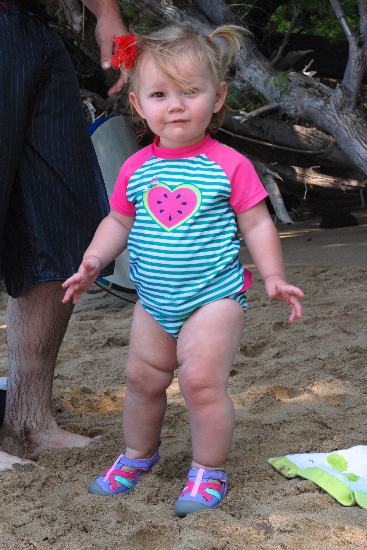 Another day at the beach. Today's choice was Waialea Beach, also known as Beach 69. Kirby would stand on the sand in shoes...
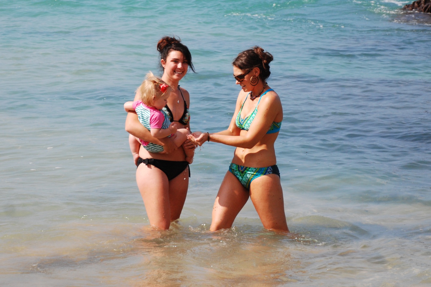 but still wasn't happy about the water even with much coercing by Aunt Meryl and Aunt Kaleena.
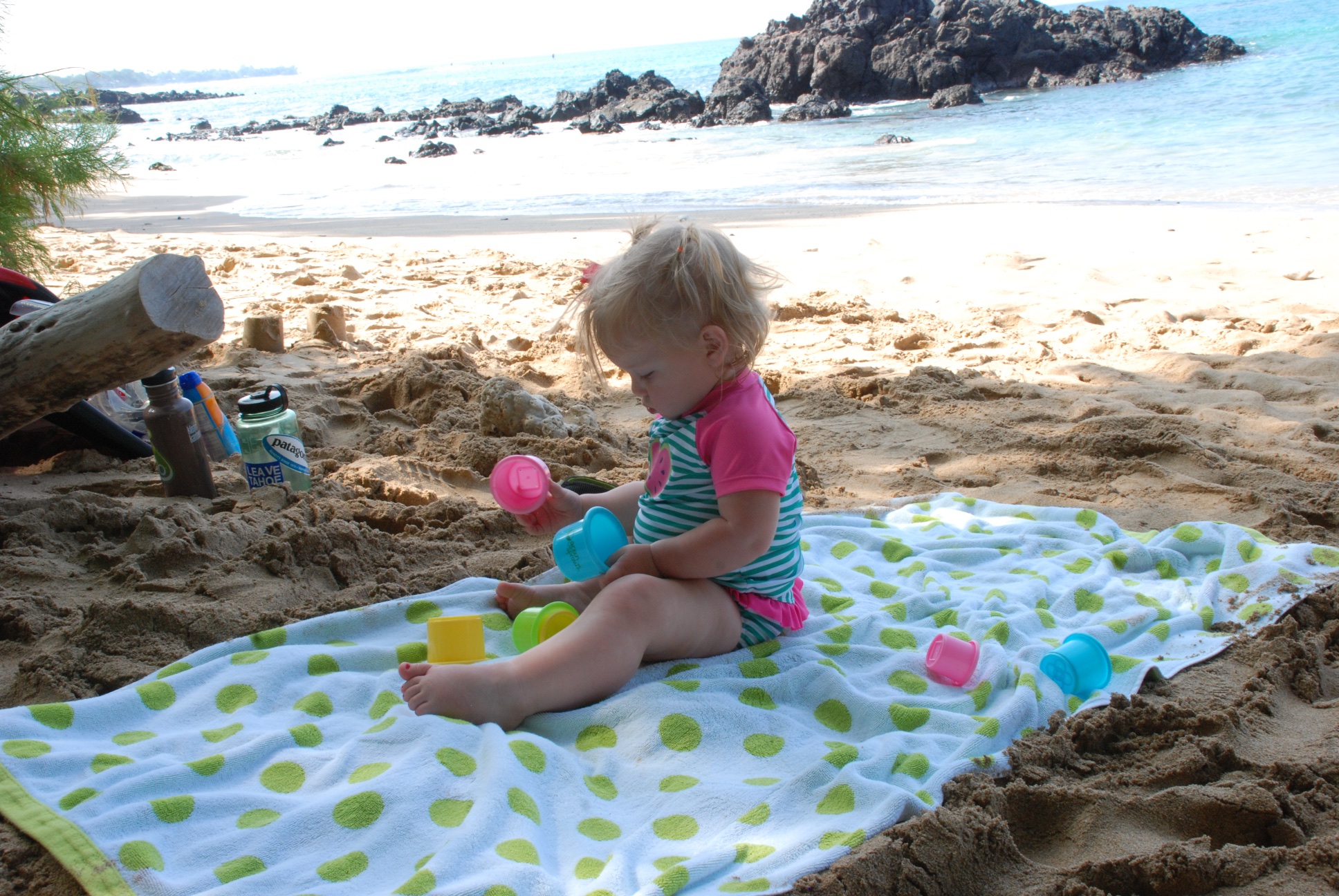 She preferred refuge on her towel...
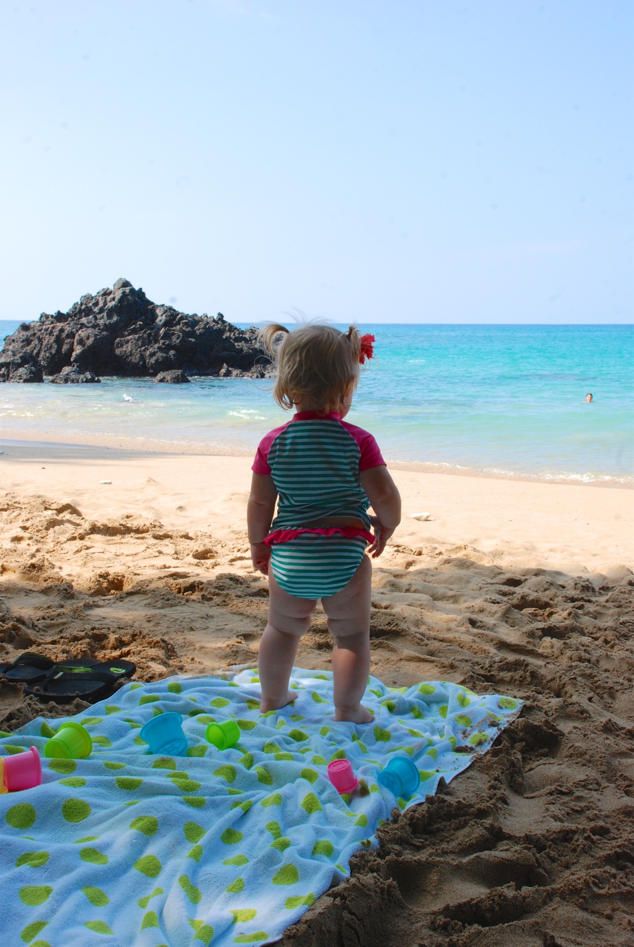 ...even while everyone else (except Grandma) was in the water.
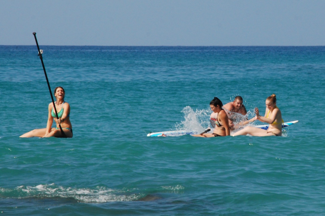 Kaleena creates a selfie-stick out of a paddle.
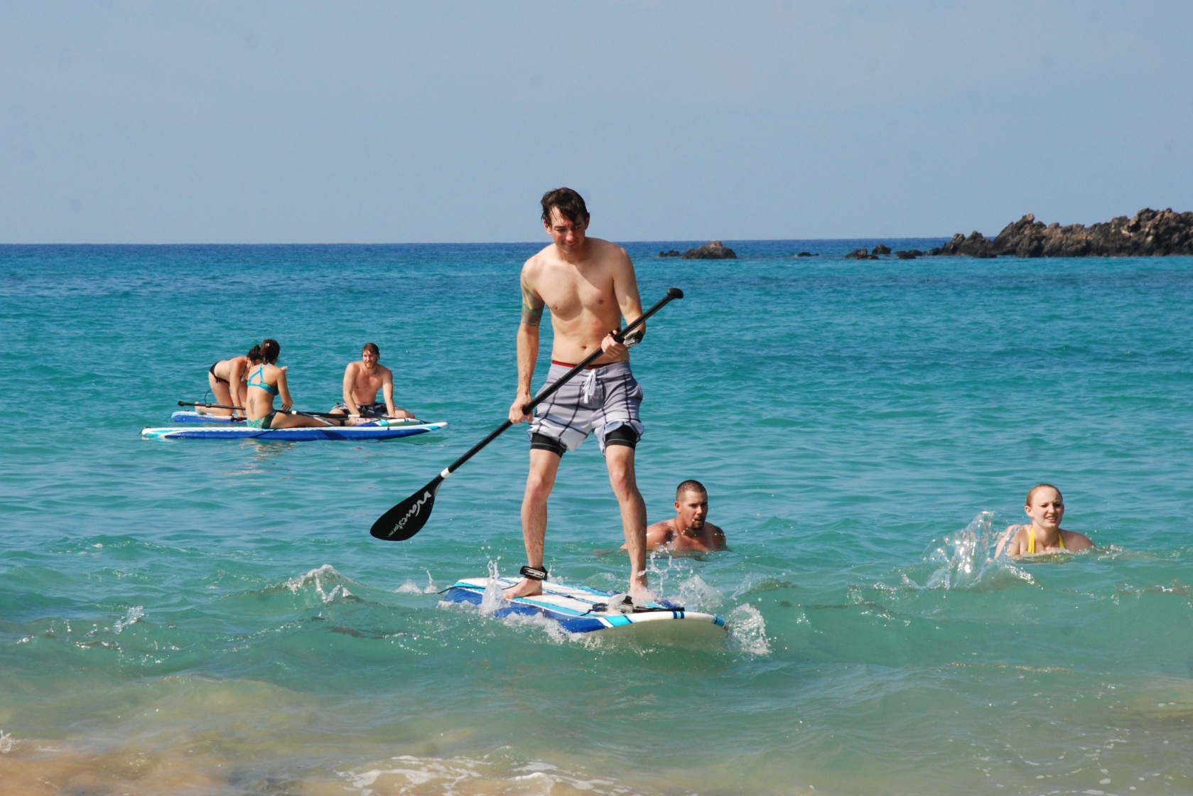 Matt rides a wave (ripple?) in to shore.
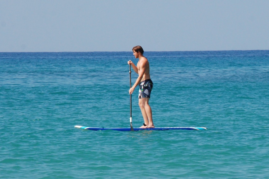 Chris looks like a pro.
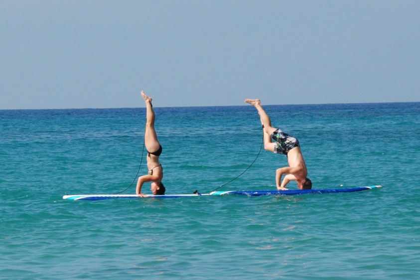 Meryl perfected her headstand while paddleboarding and Chris valiantly tried to keep up.
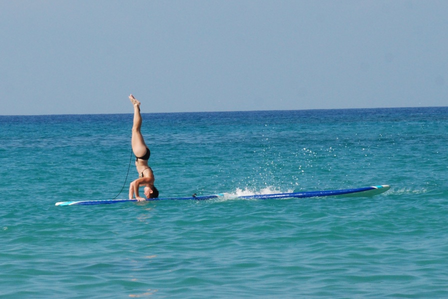
 I took all of those photos while sitting on the sand holding a sleepy baby. She was finally ready to put down to finish her nap. I went paddleboarding for the first time. Eventually I will have photos taken by my kids but for now it's just my photos.
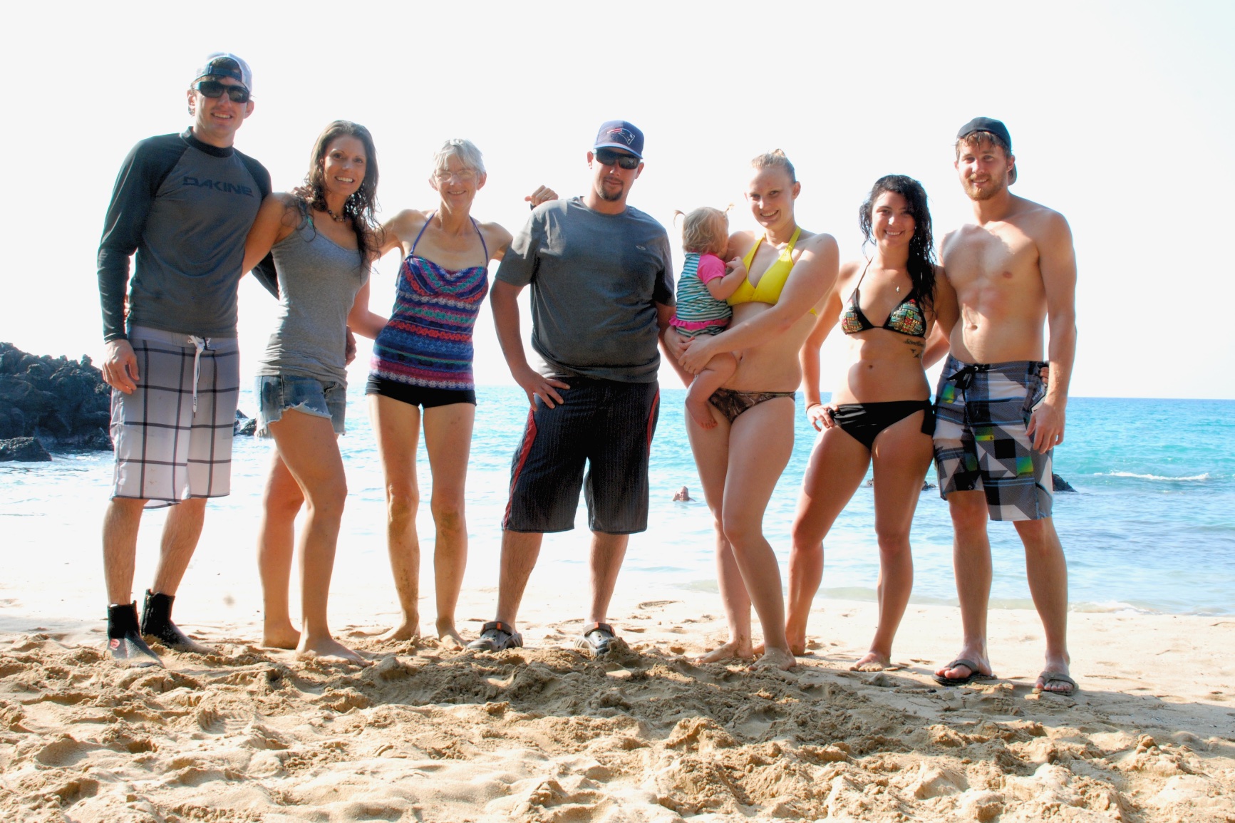 A group photo before we left the beach.
 In the evening we waited for our chosen sushi restaurant to open and wandered around the Mauna Lani shops. It sure doesn't feel like Christmas here but there are decorations everywhere.
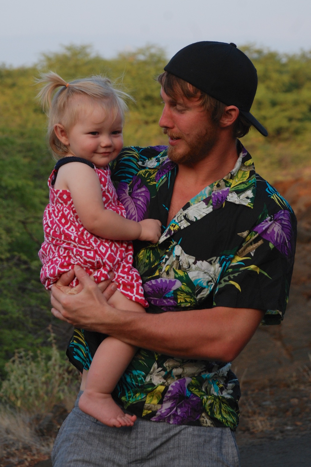 We strolled along the resort paths.
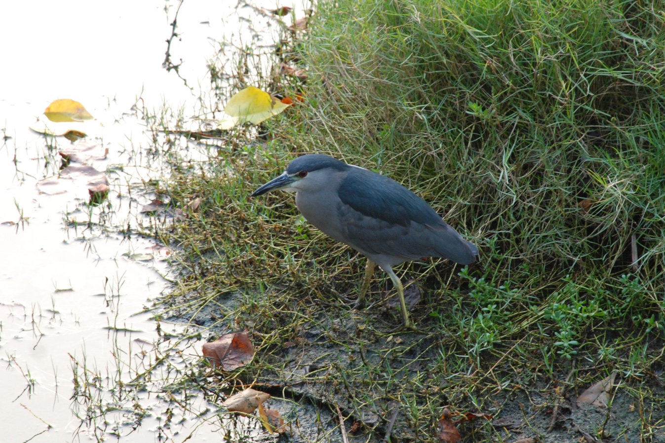 Look! I finally got a wildlife photo! This is (I think) a black-crowned night heron.
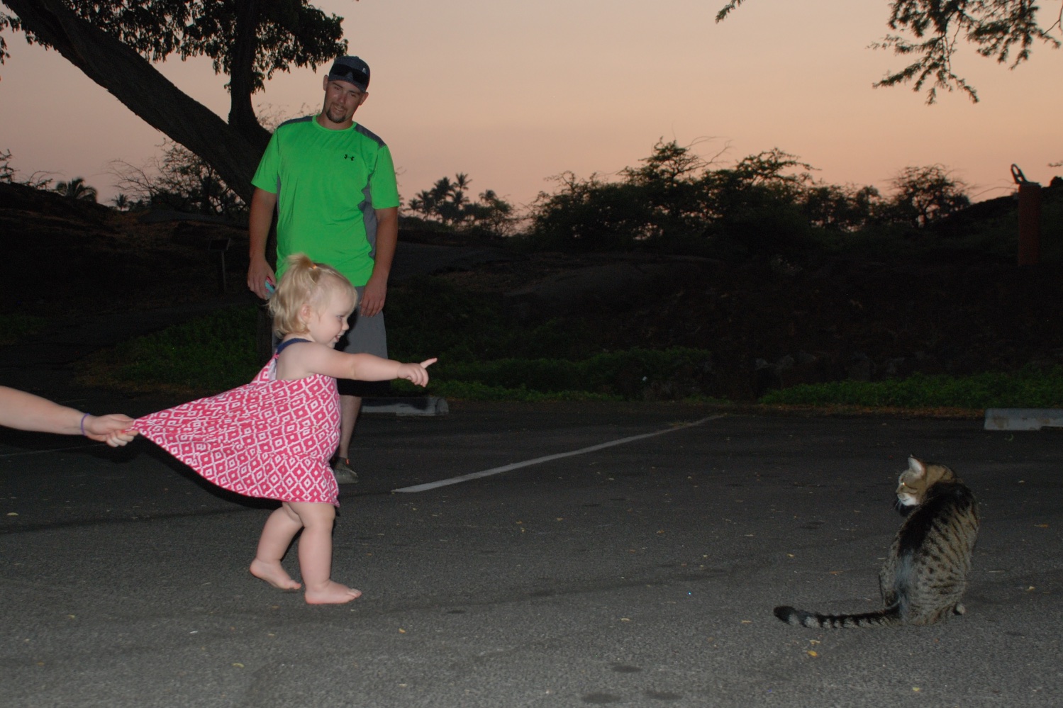 Kirby found kitties in the parking lot before we finally went to dinner.
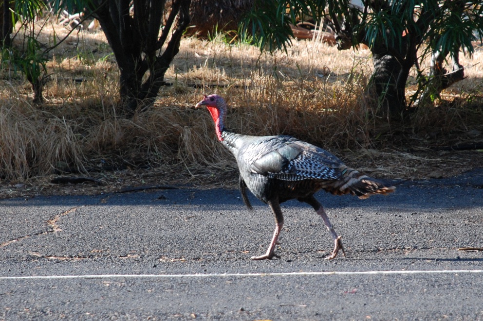 The potential for wildlife photography began with turkeys walking down the road in front of the house where we are staying, but that is my only wildlife photo.
The plan for the day was to spend some time at the beach and visit with my father-in-law and his wife, who have lived here for several years.
The potential for wildlife photography began with turkeys walking down the road in front of the house where we are staying, but that is my only wildlife photo.
The plan for the day was to spend some time at the beach and visit with my father-in-law and his wife, who have lived here for several years.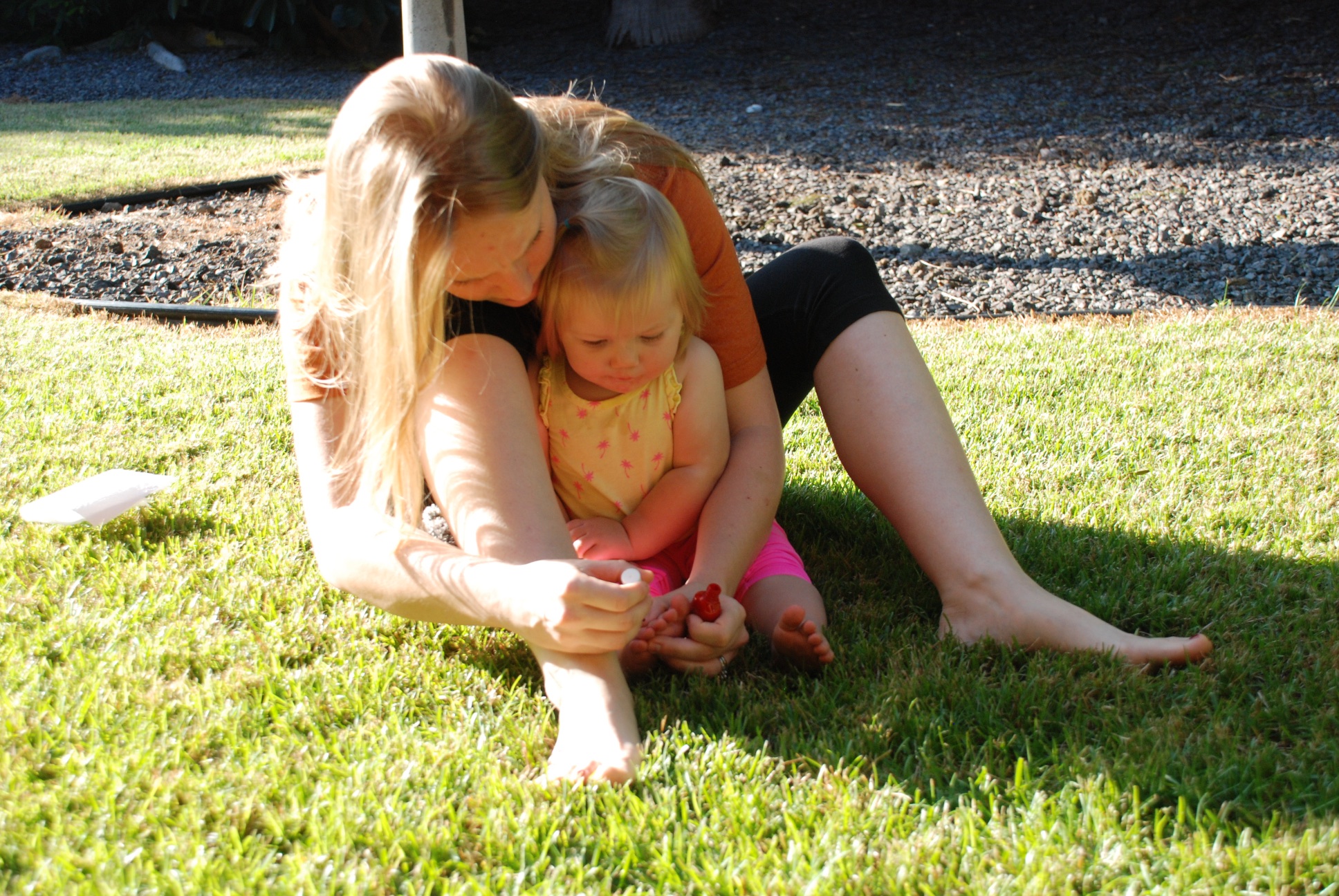 First things first. An island girl has to have her nails painted...
 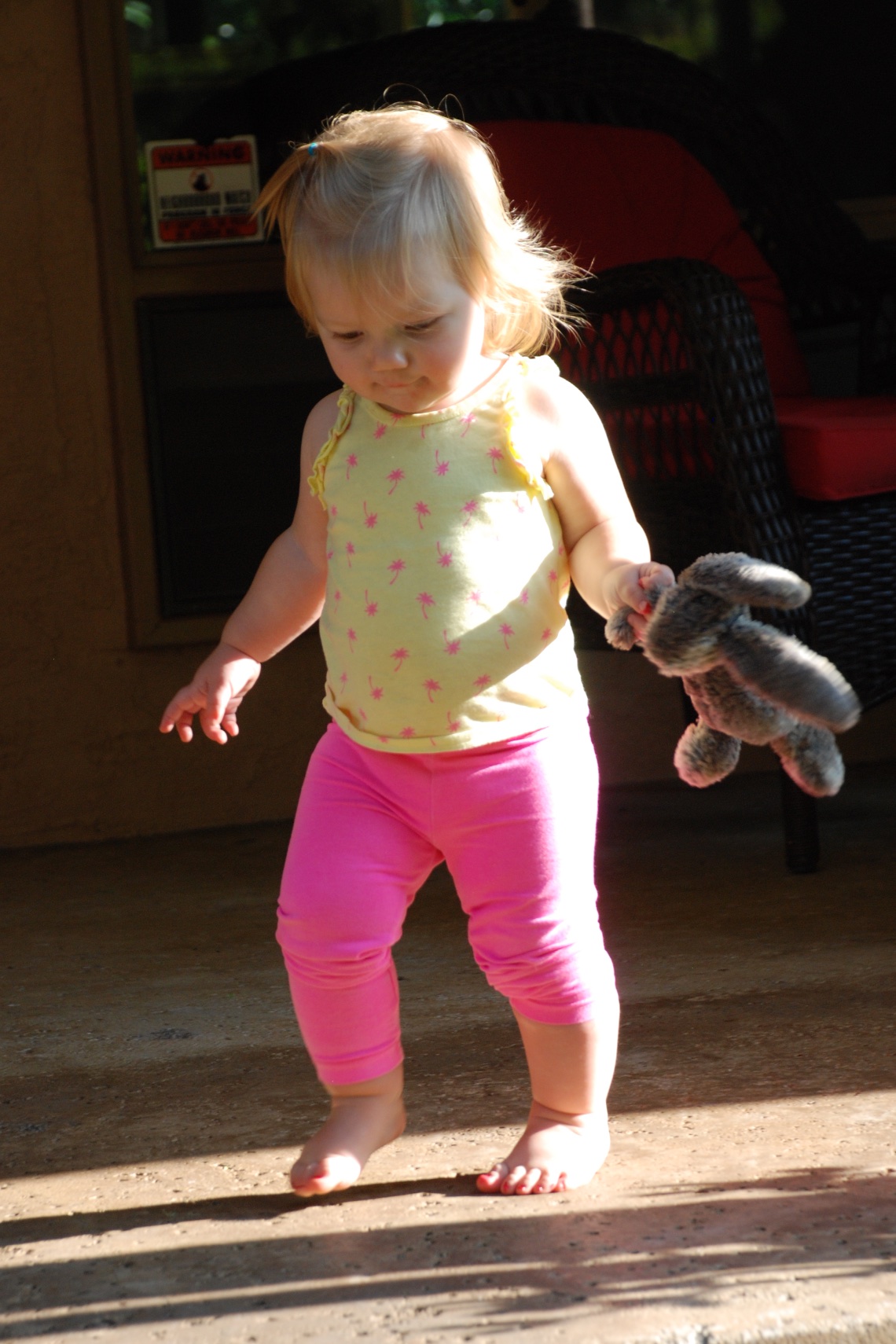 ...and then stay out of the house until the polish dries.
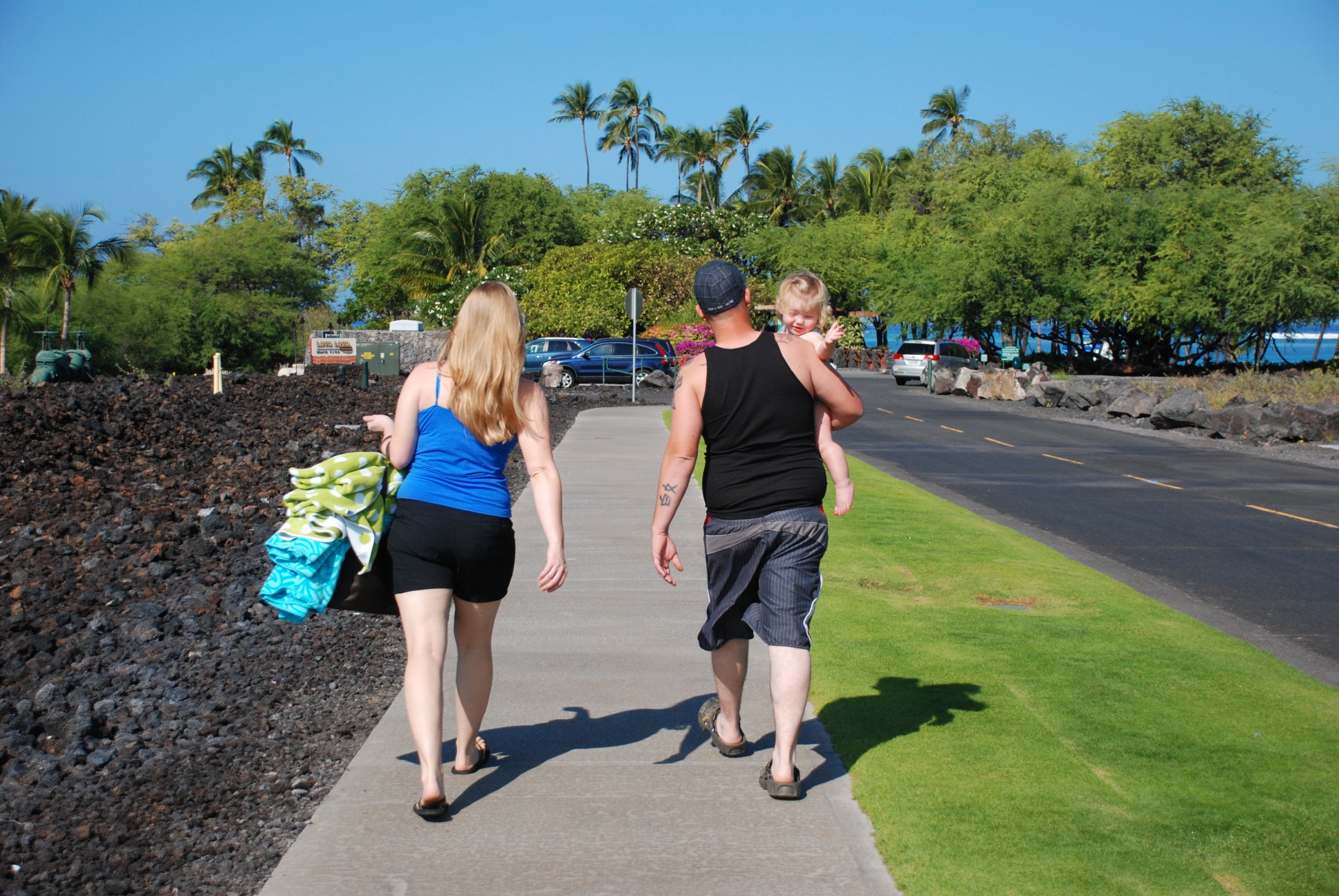 On the way to the beach.
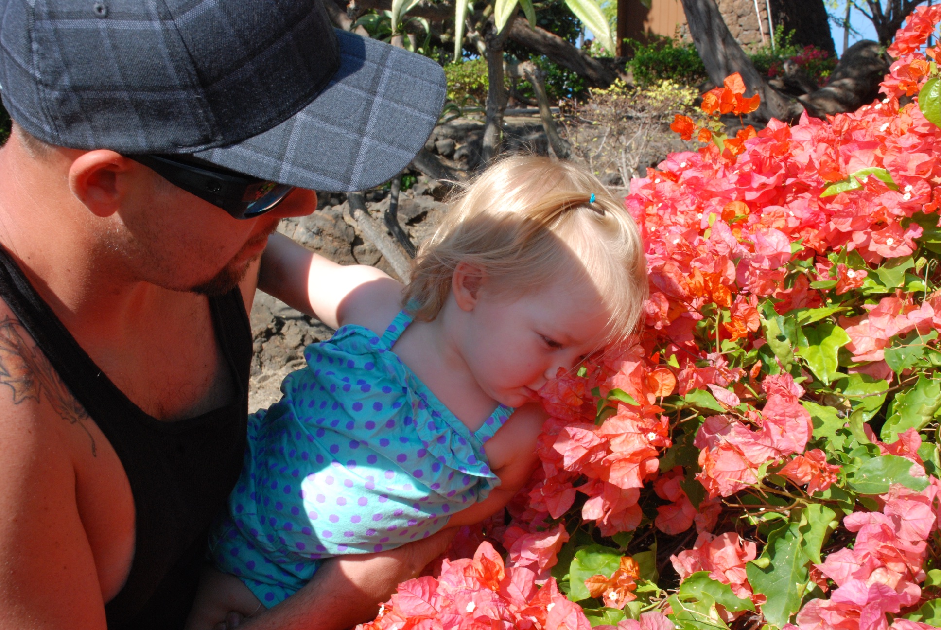 Stopping to smell the flowers.
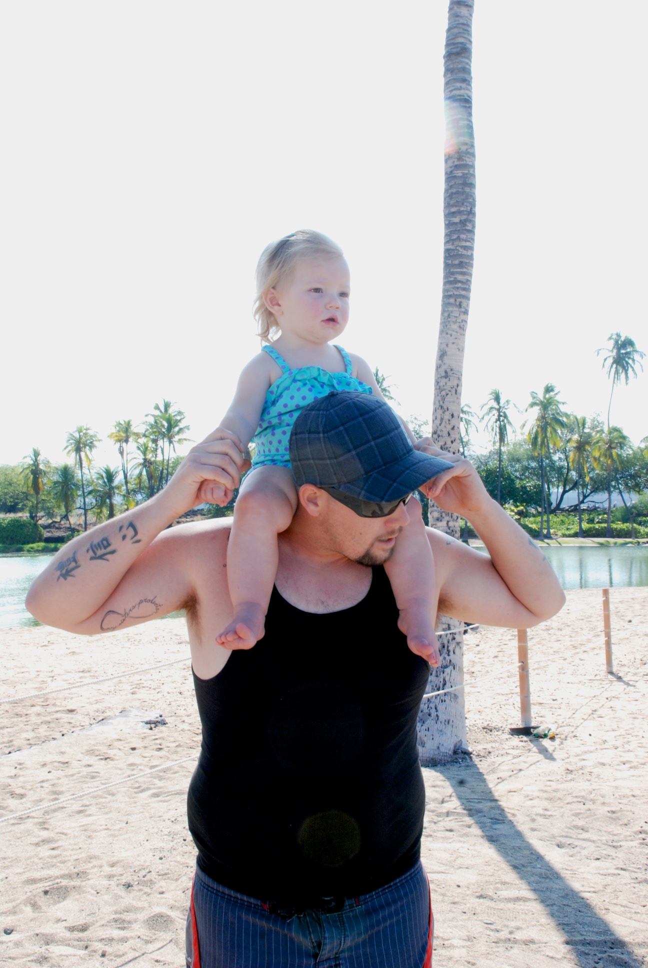 Kirby gets a good view of the ocean.
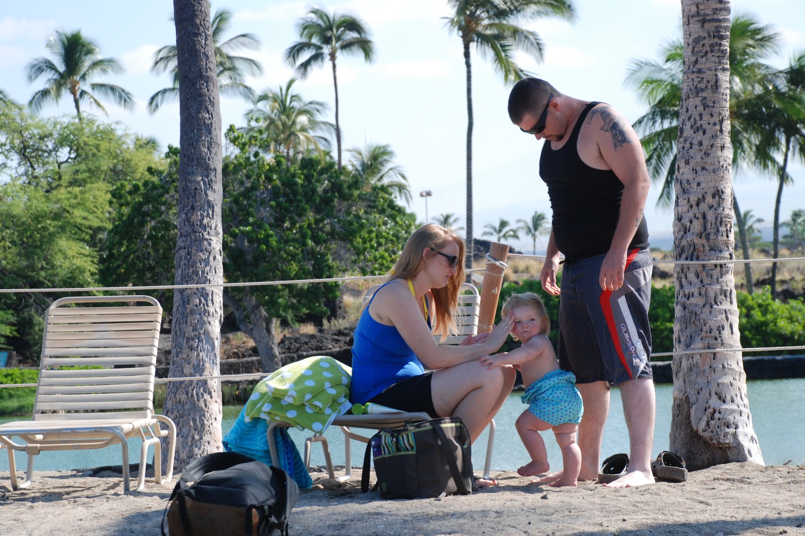 We discover that she doesn't like the feel of sand on her feet.
 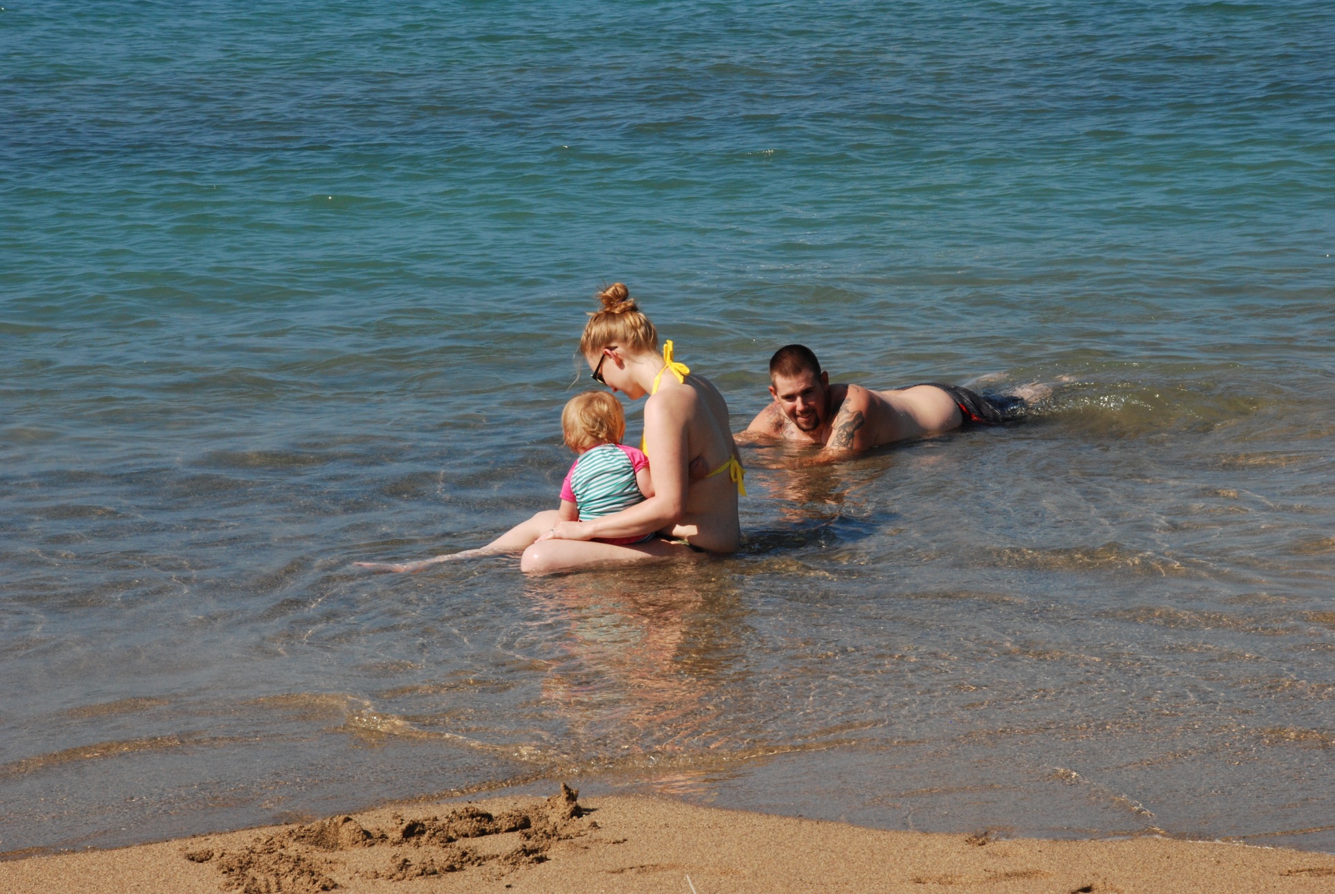 It's hard to get in the water if you won't walk in the sand. The water was a bit cool at the start and Kirby decided that it really wasn't for her.
 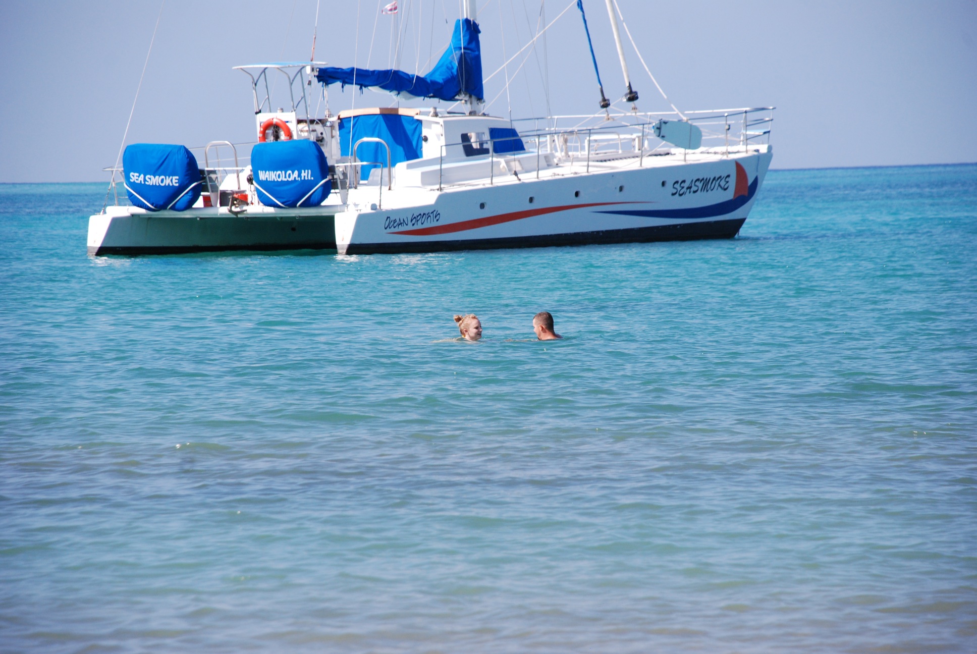 While Mom and Dad swam...
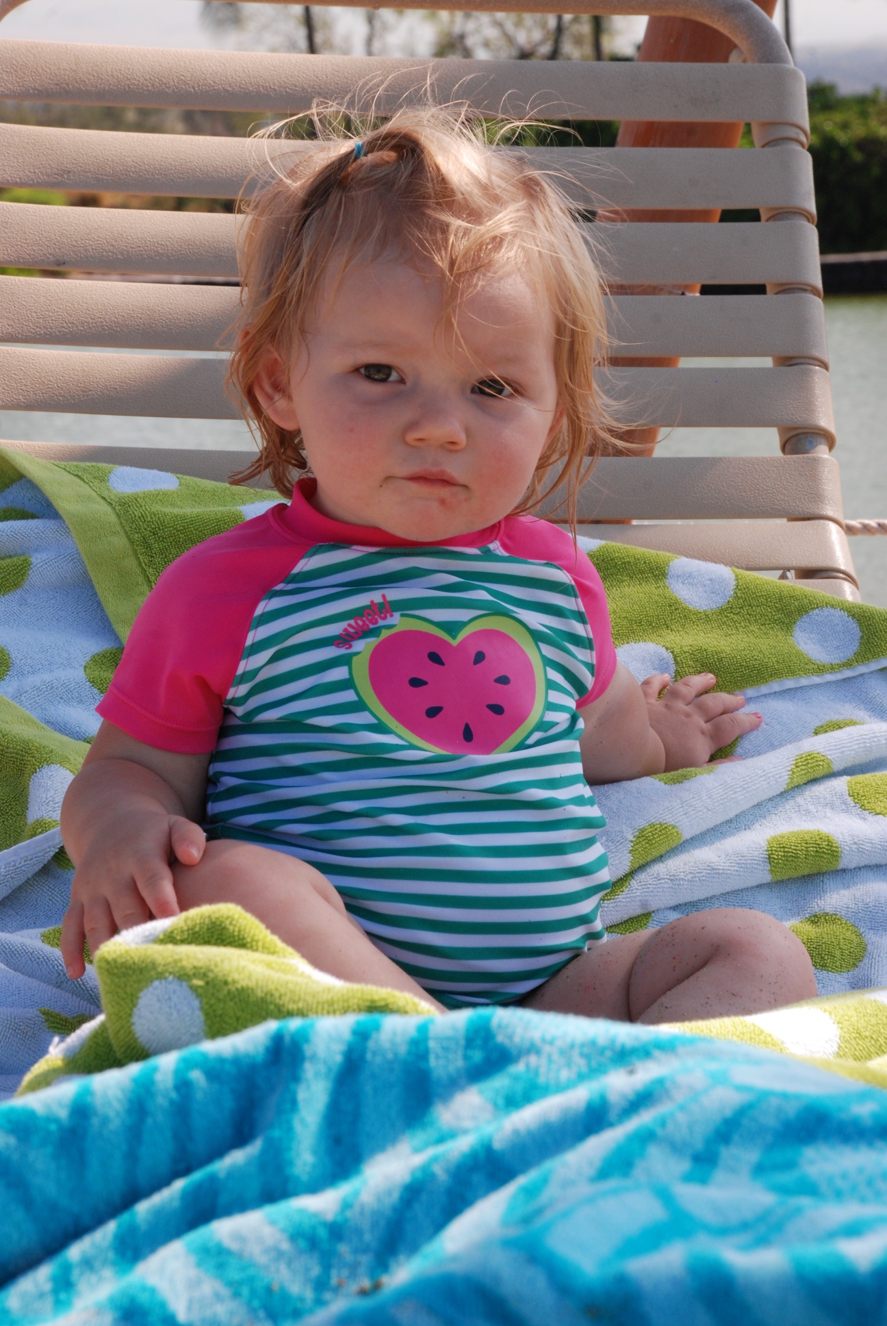 Kirby was happier in the safety of the lounge chair, although I walked the beach with her quite a bit too.
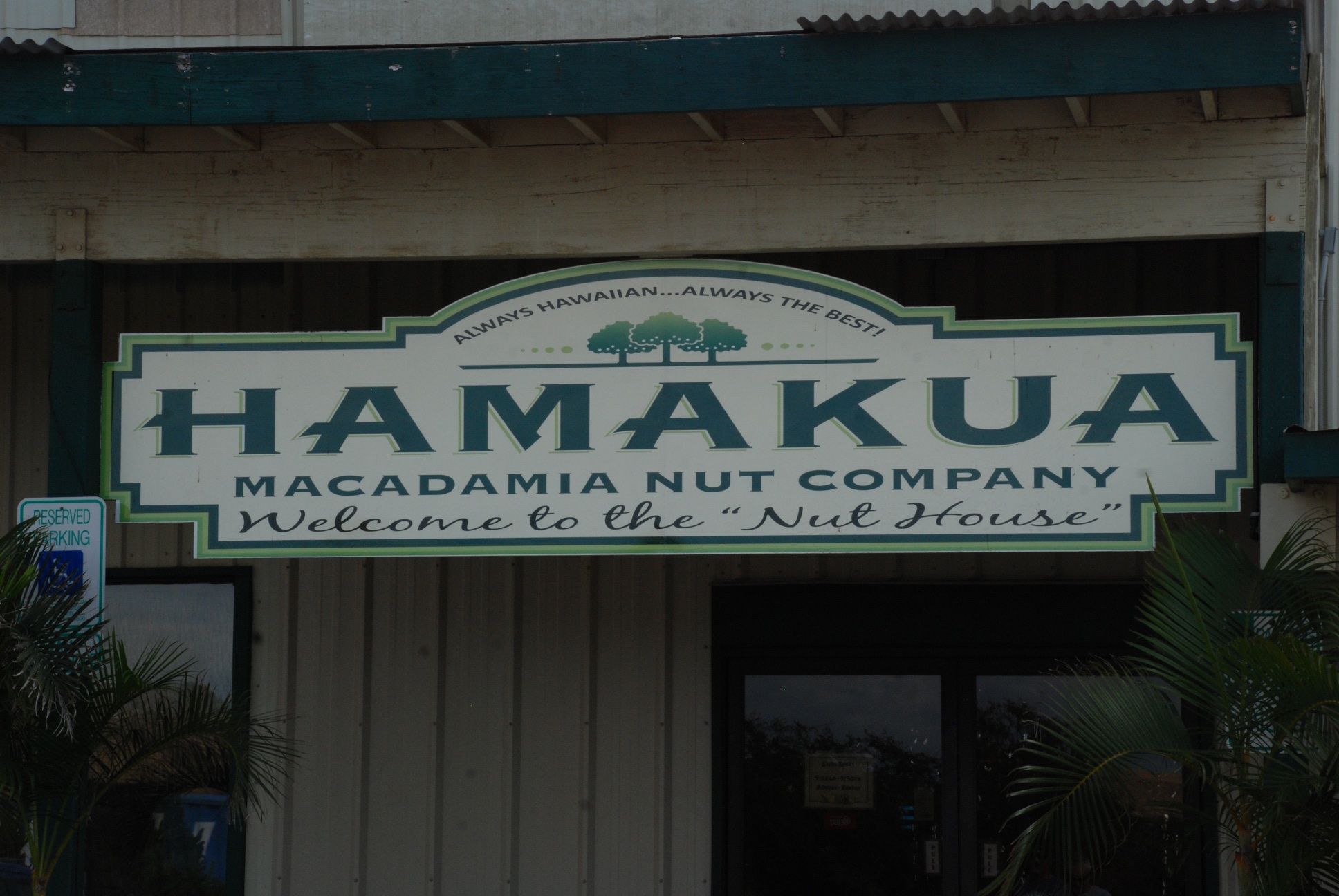 After the beach trip we met up with my father-in-law and others to see the Macadamia Nut Company.
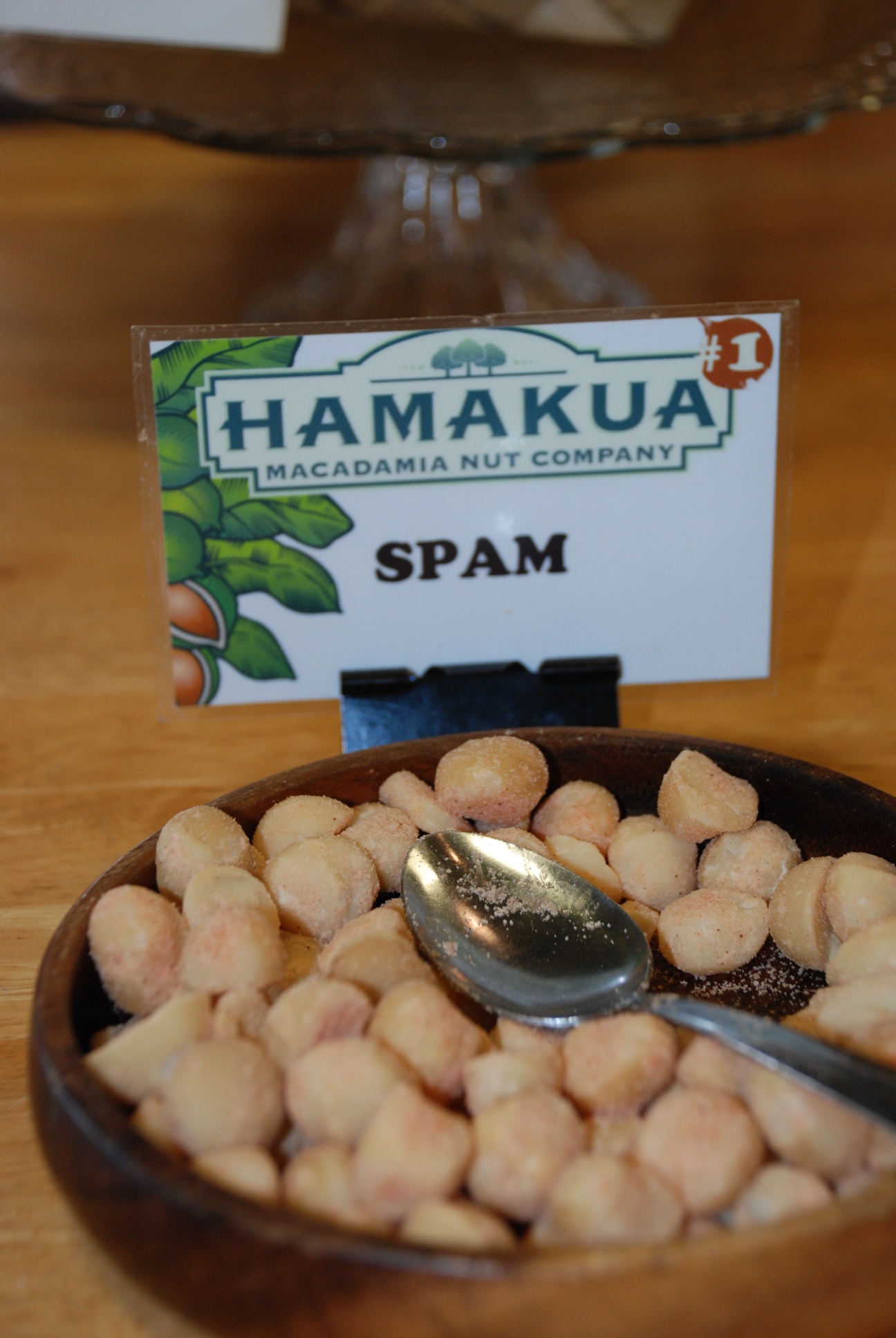 One of many special nut flavors.
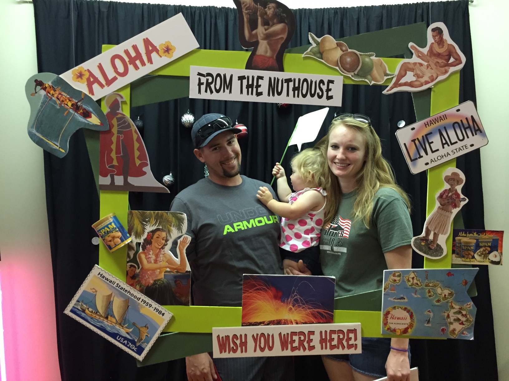 Photos at the gift shop.
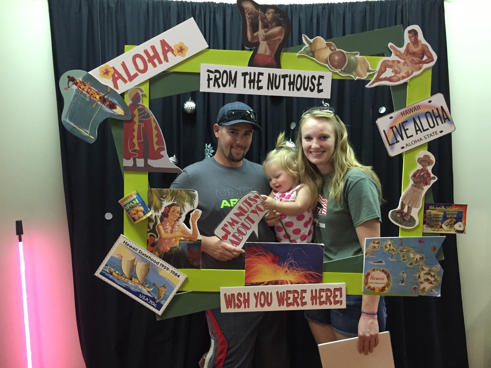
 ...and met up with Katie, Kurtis, and Kirby who flew in from Austin. We all boarded the next plane for an almost 7 hour flight to Kona, which is where my father-in-law lives. I have been there only one other time.
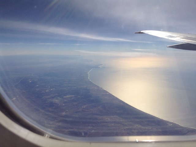 Leaving the California coast. I have this naive feeling that if the plane had to go down it would be better to be over land because you could find an airport or highway or somewhere to land.
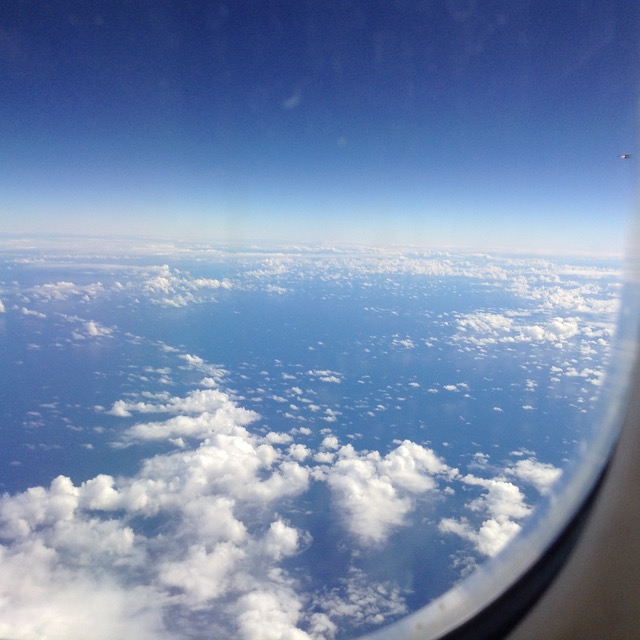 There is an awful lot of water before you get to Hawaii.
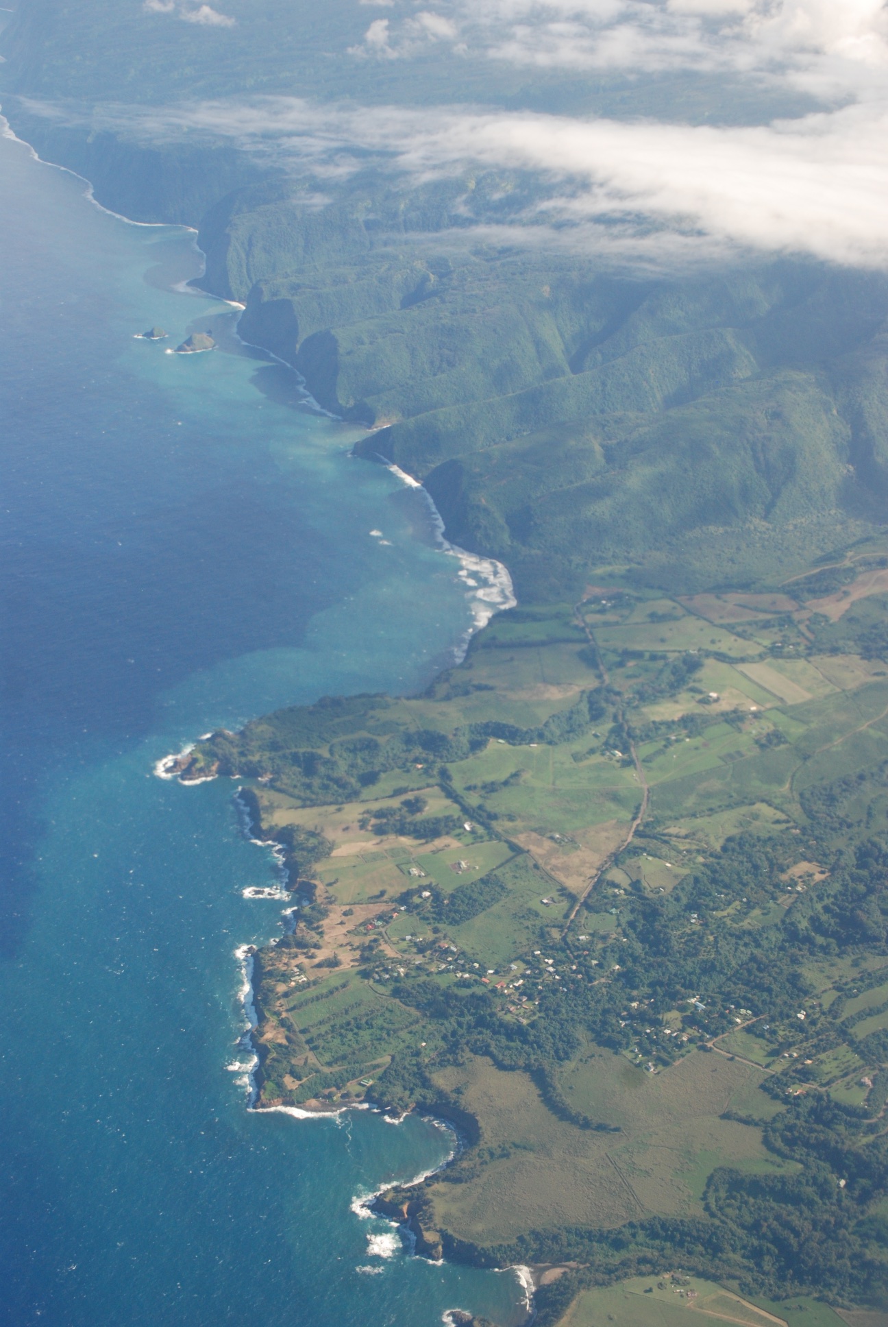 But what an amazing site!
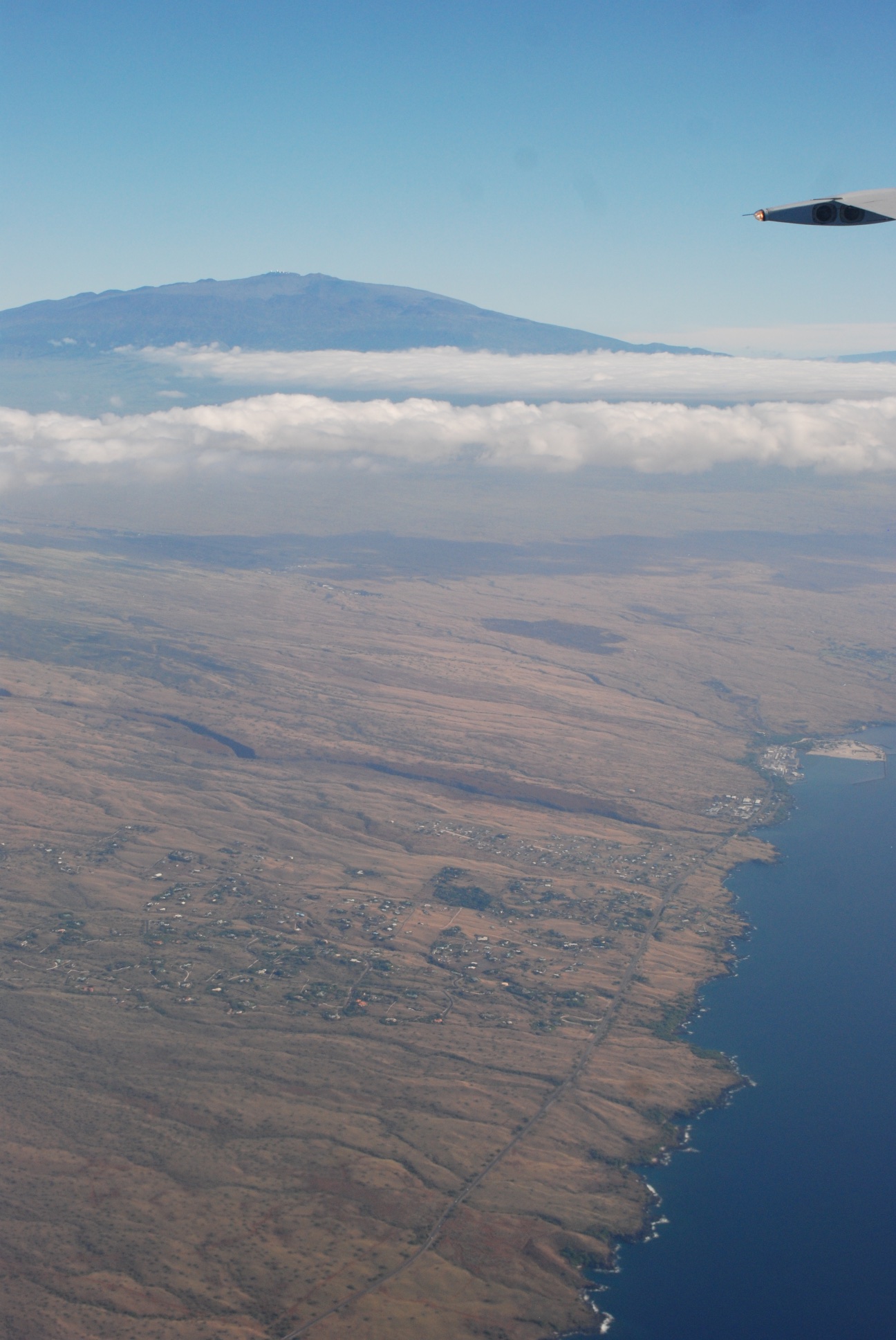 The contrast between the wet side and the dry side is amazing from the air.
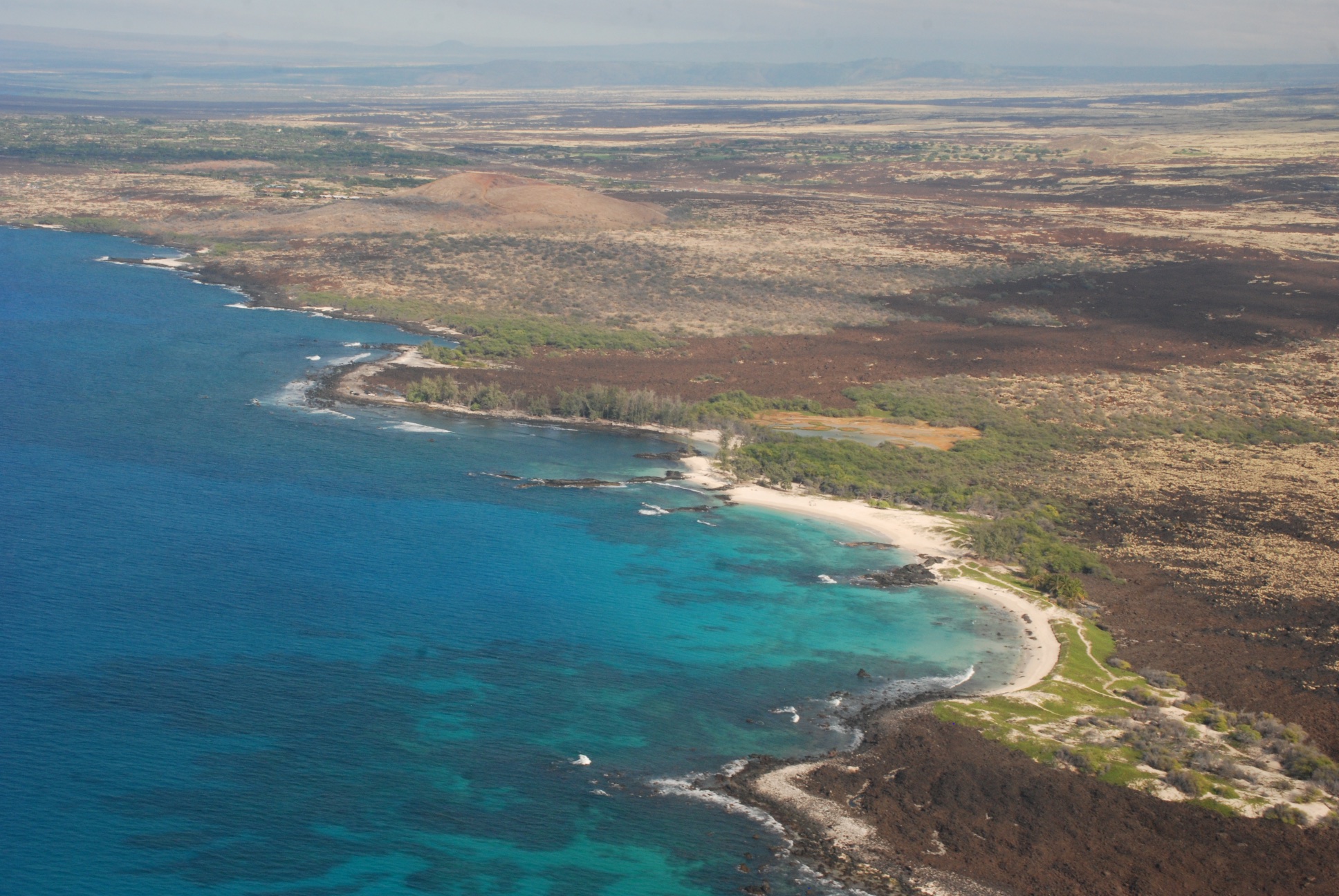 The airport is in Kona on the dry side. That is also where my father-in-law lives. Love those colors in the ocean.
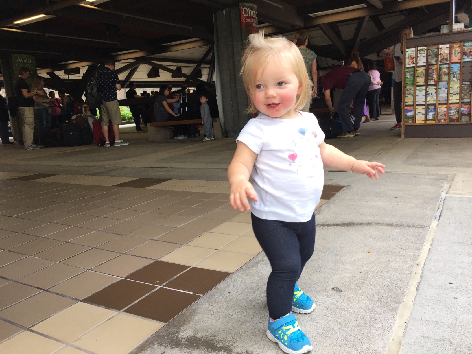 Unleashing a 16-month old after being constrained for so many hours.
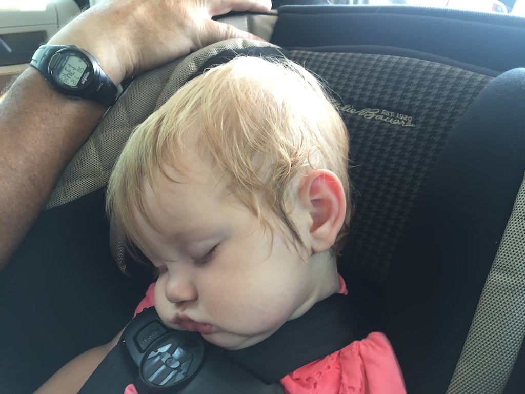
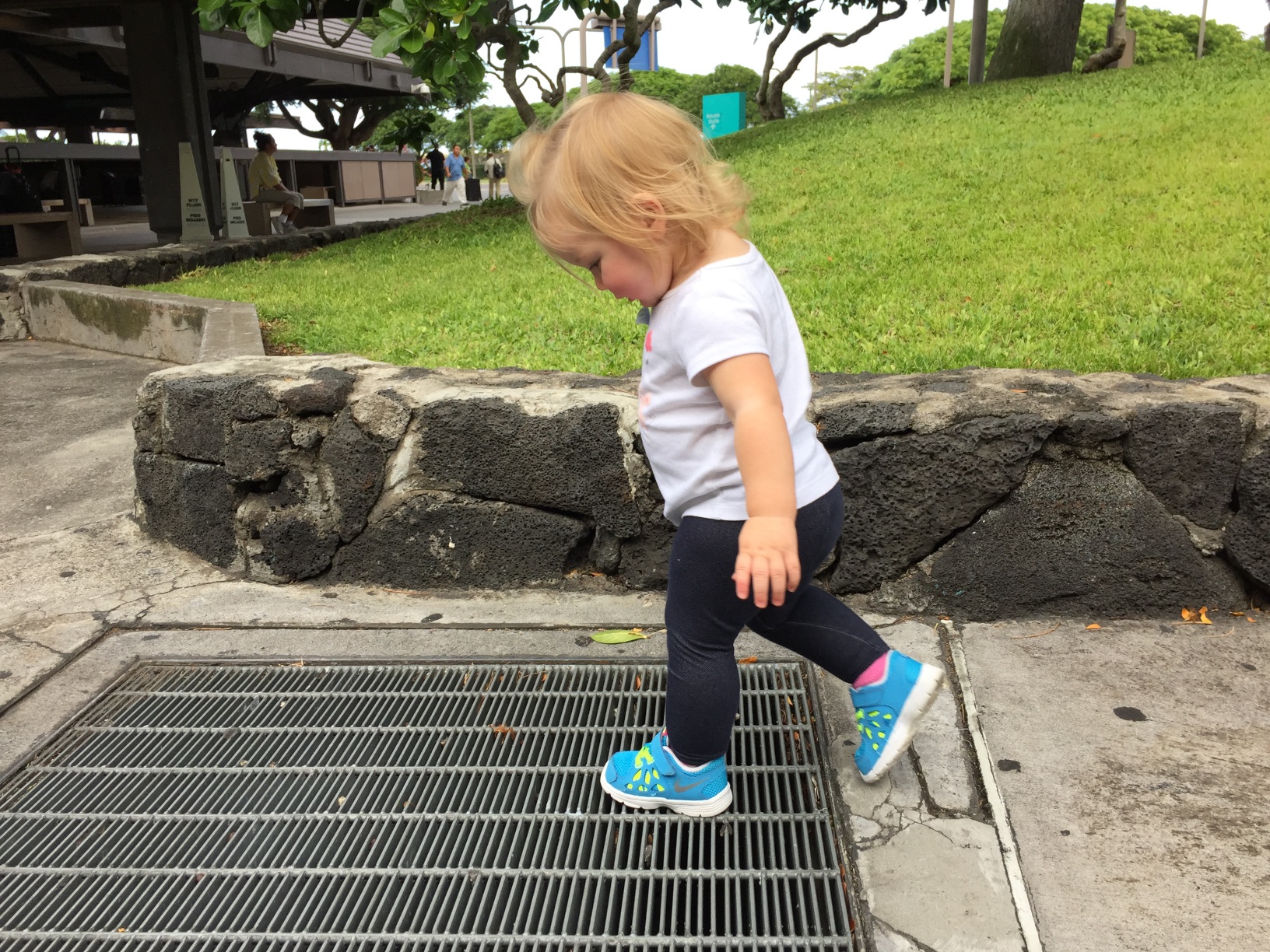 She found this grate fascinating. Hmmm. I don't think she had to travel 3000 miles to find one of those.
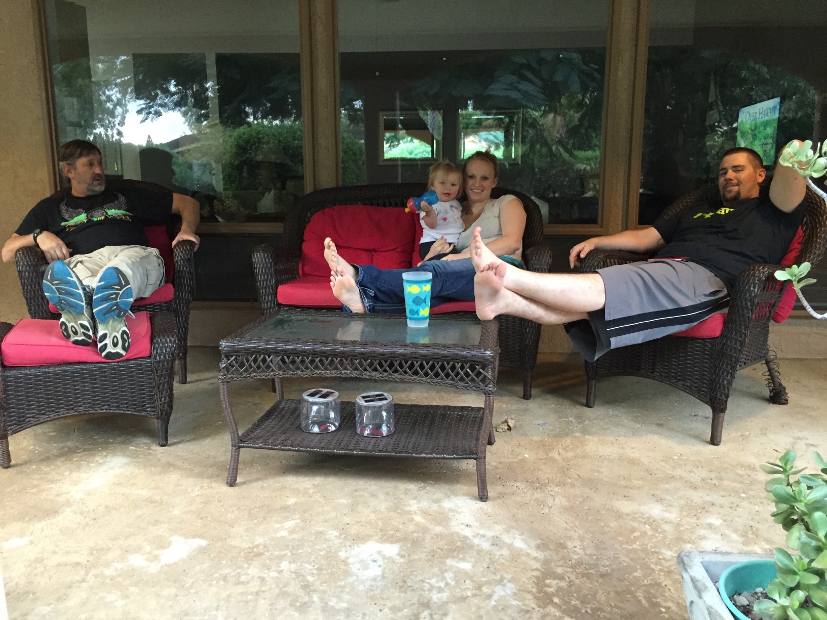 Relaxing at the house that we rented. The rest of the family will show up over the next couple of days.
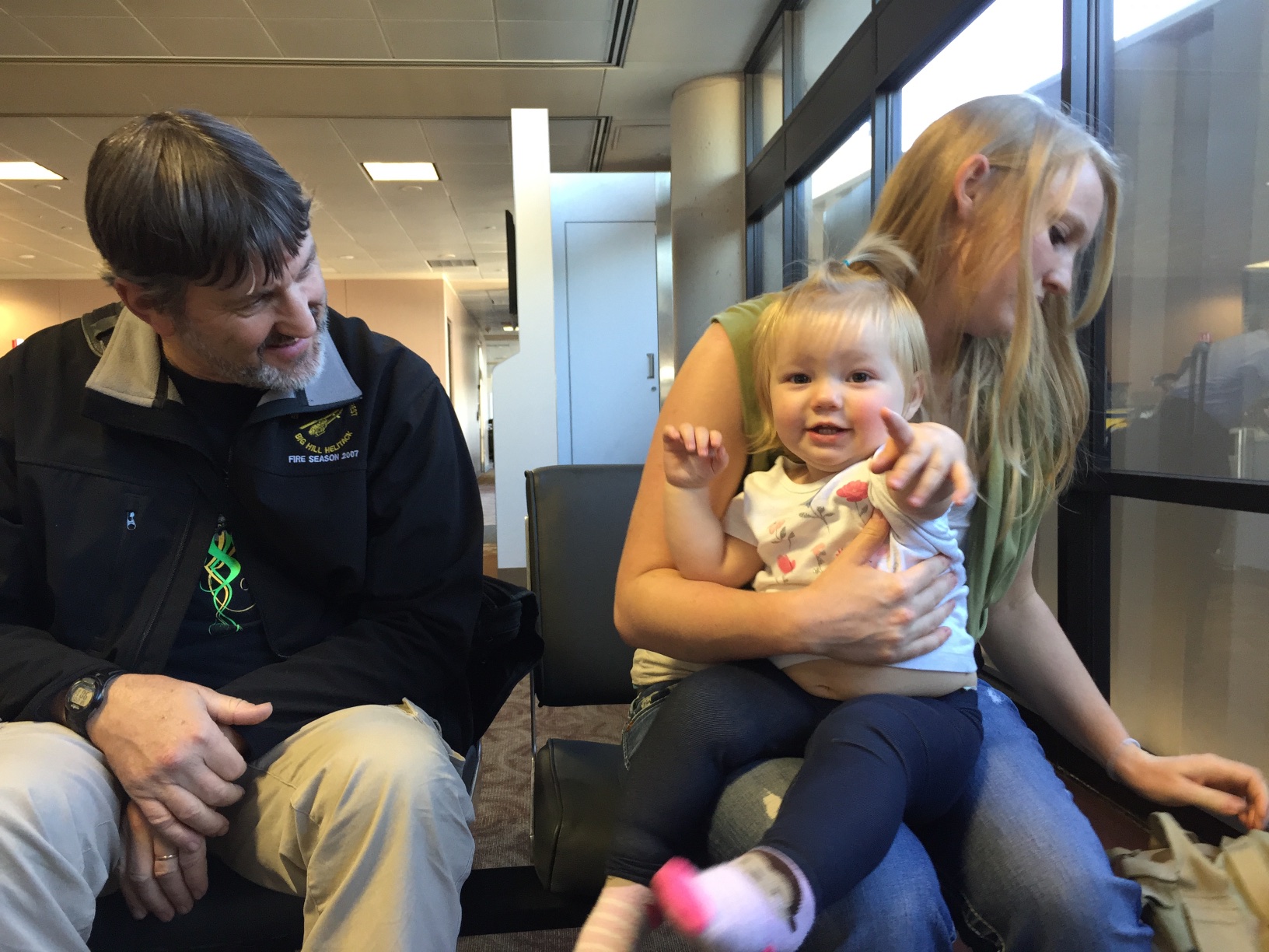
 We were packing the truck. I wondered if Kirby would miss us for a little while because we'd been there for four days. Probably not, but I hope that she will remember me next time I see her.
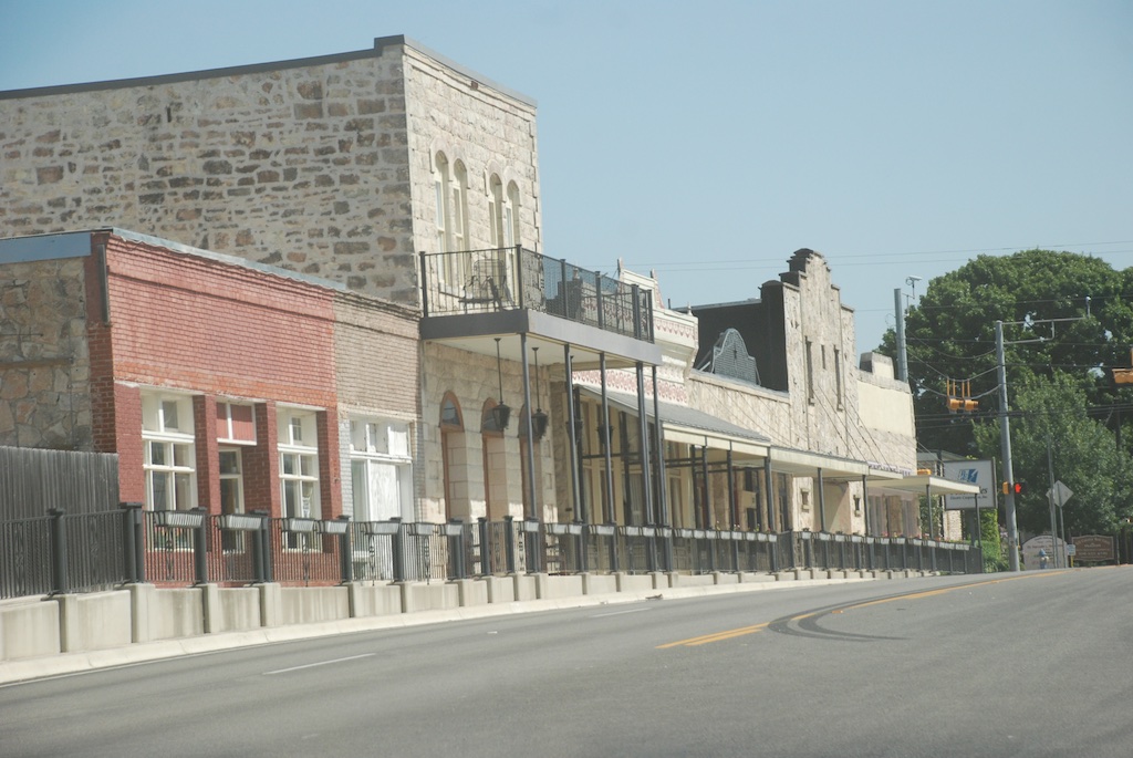
 Time to leave. I needed to be home by Friday.
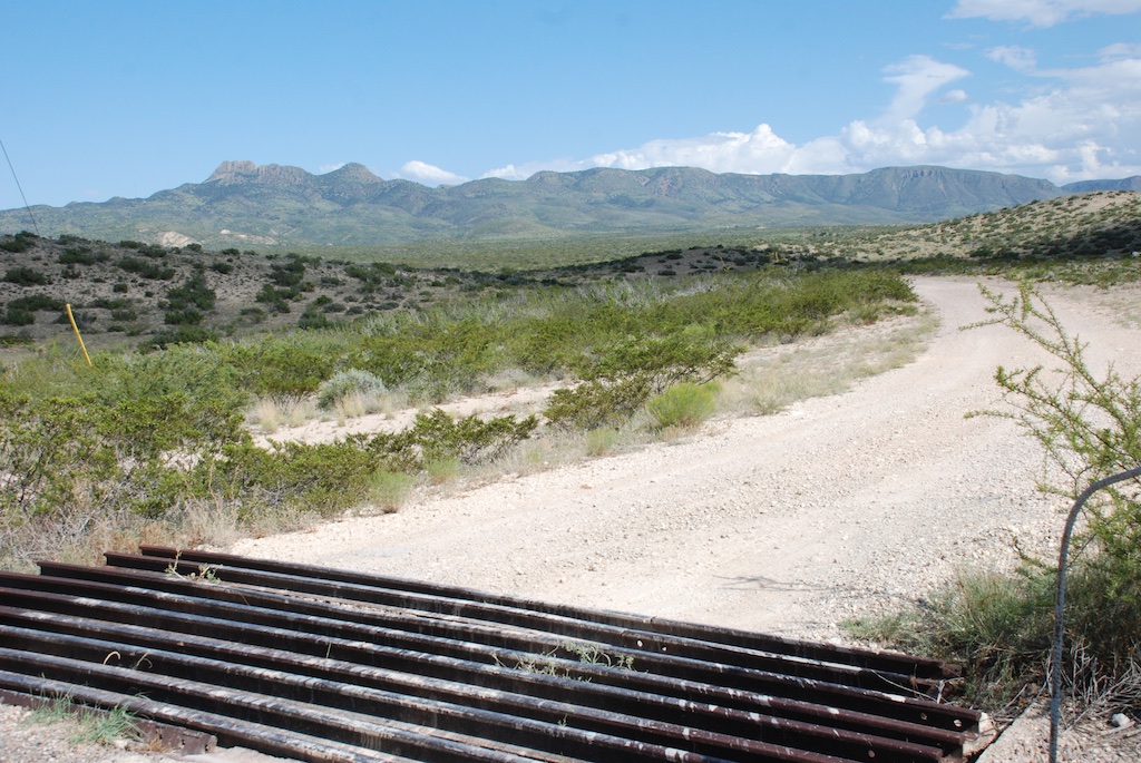
 There are more mountains than I expected.

 Dropping into the Rio Grande valley.
 We entered the church through the Door of Life and left it through the Door of Death.
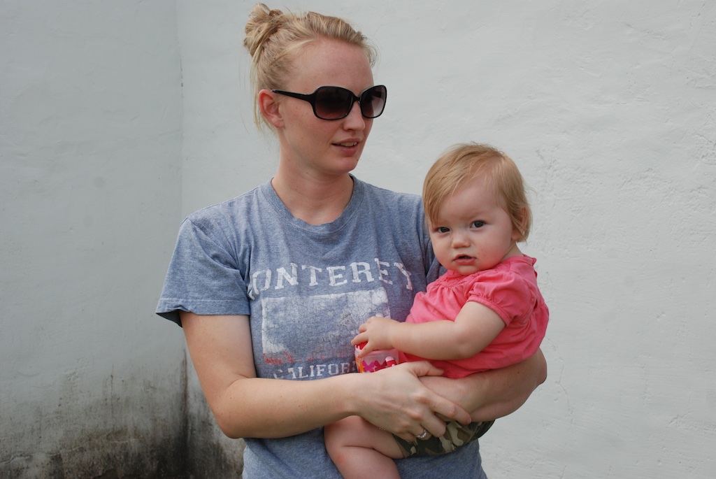
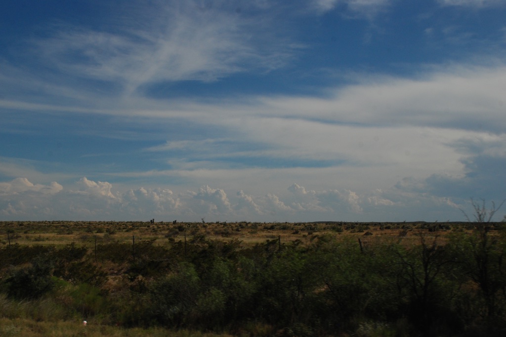
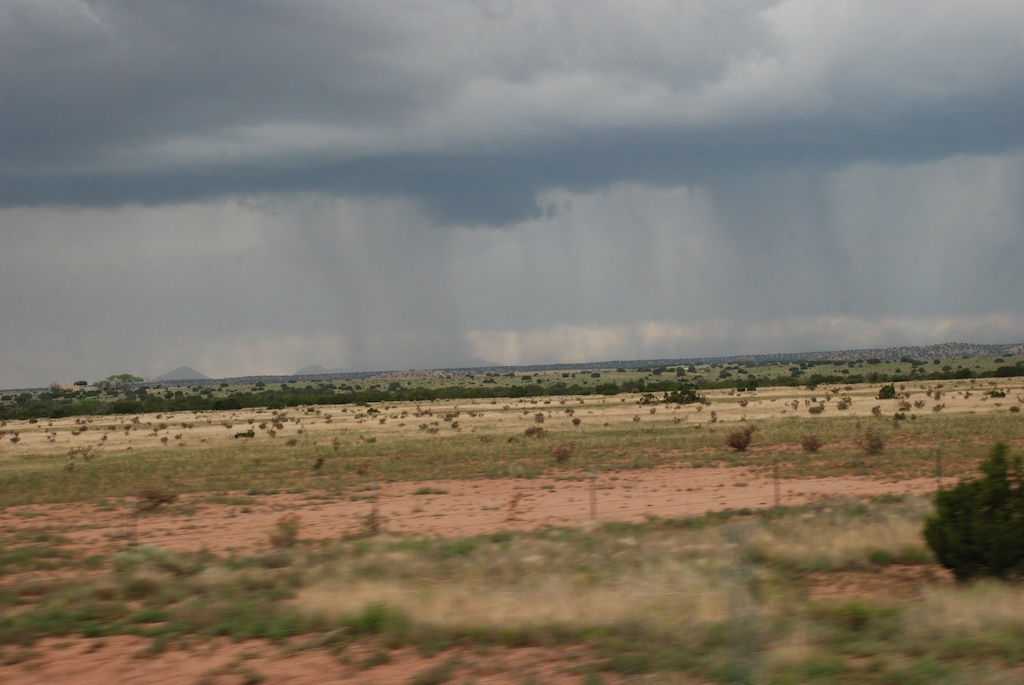
 Just as we had seen in northern Arizona and New Mexico everything was green. Summer monsoons are the norm, but there have been several dry years so this particularly wet year is a welcome change. However there can be too much of a good thing. We saw the signs on the Blanco River of the recent high water and were amazed at just how high it was.
 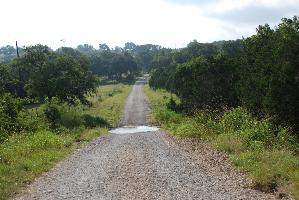 Katie and Kurtis live on high ground between Blanco and Wimberly (where the horrific May flooding swept houses and people away) so they were in no danger. This wash just down from their driveway has running water now but during the flooding was many feet higher and impassable. Hard to imagine.
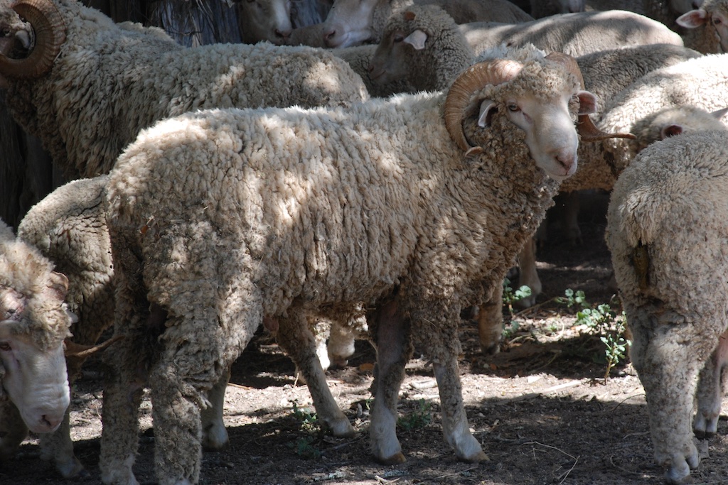 ...the rams...


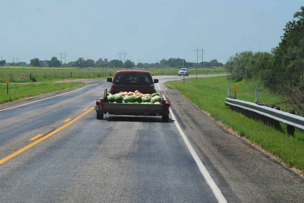
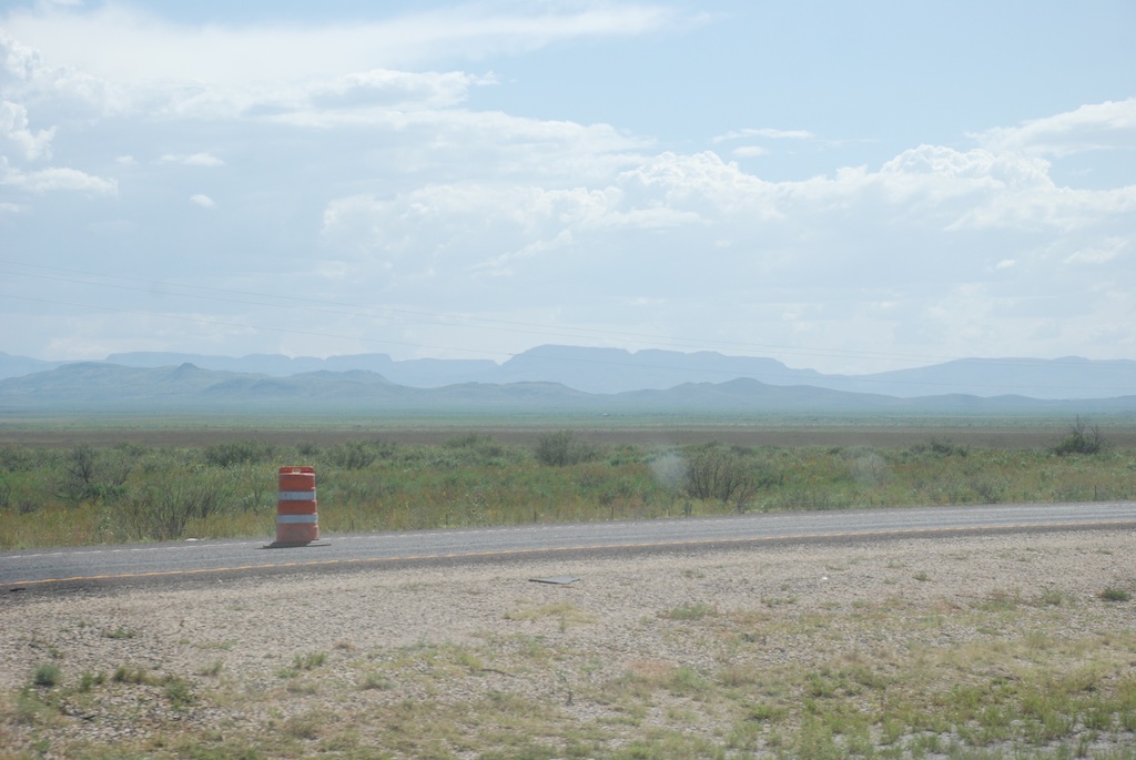
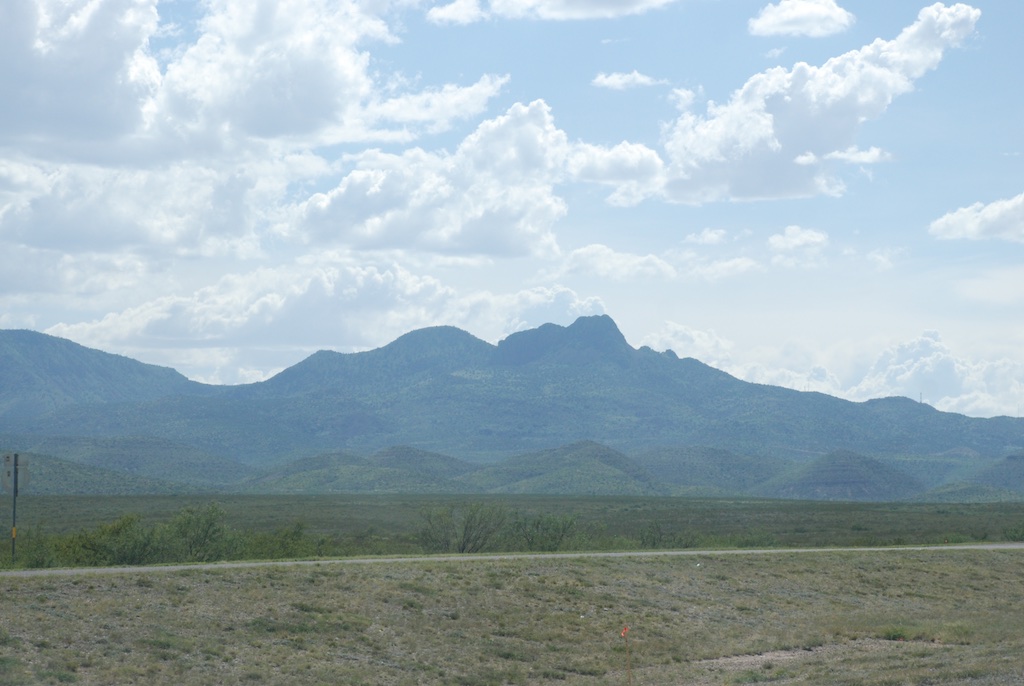
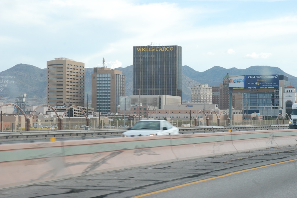
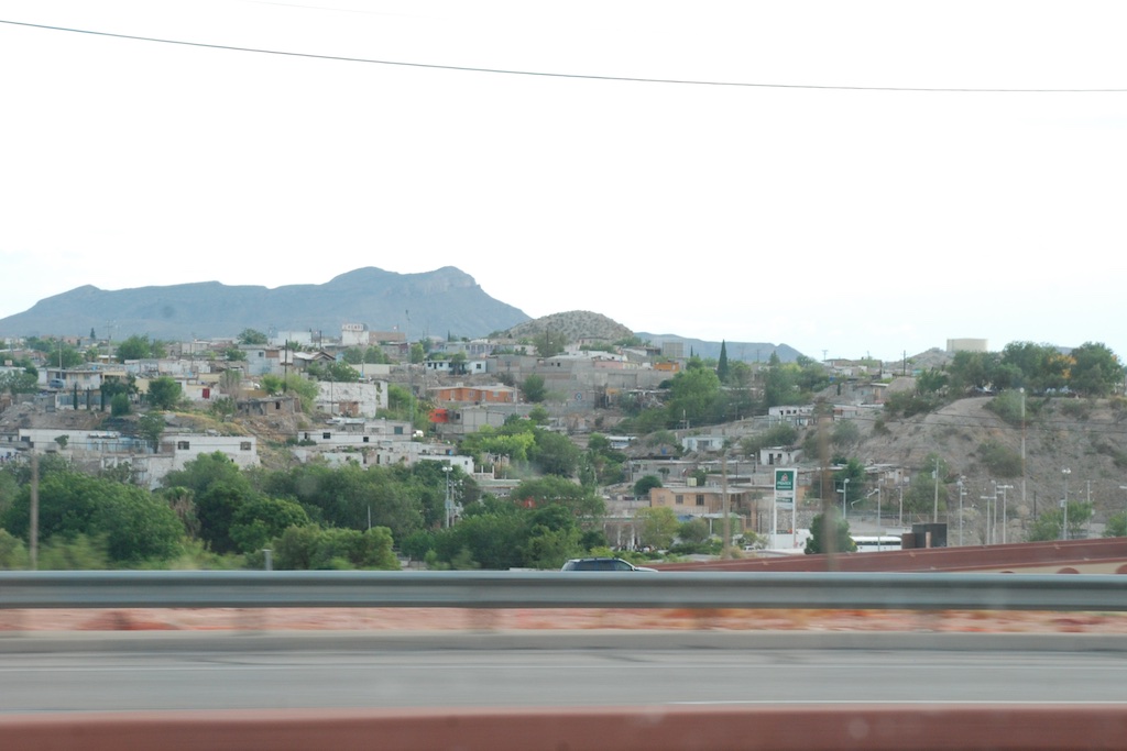
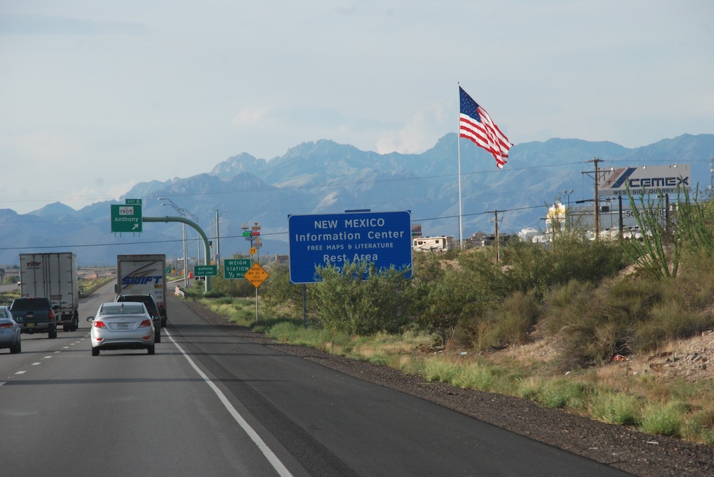
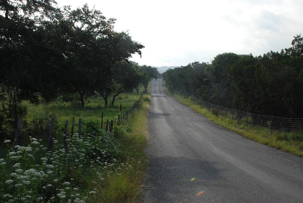
 I don't have many photos. I snapped several from the moving truck, but although some of the scenery ones are passable, it was hard to get much in town when driving through.
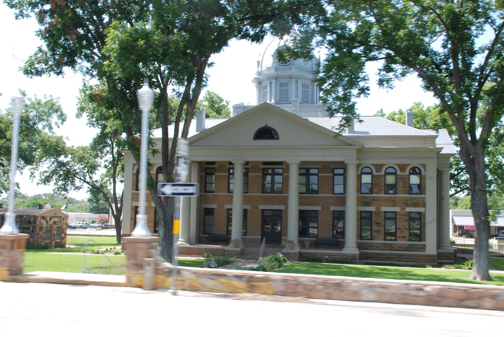 I must say that the iPhone has given me a new way to travel. We like our big map books with one book for each state. I kept that open on my lap but I continued to look up towns we passed or things listed on the map that weren't there anymore. We garnered a lot of history that way.
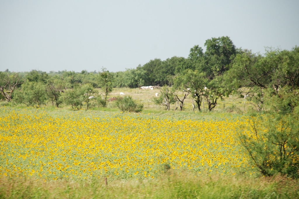
 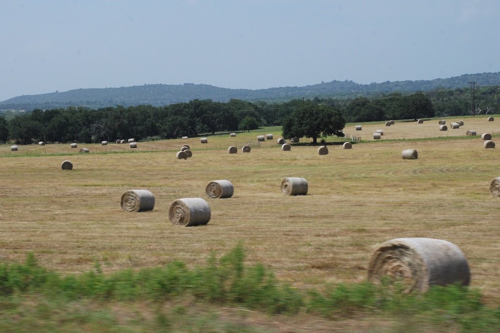 This photo doesn't look especially green because the field has just been baled but there is a bumper crop of hay.
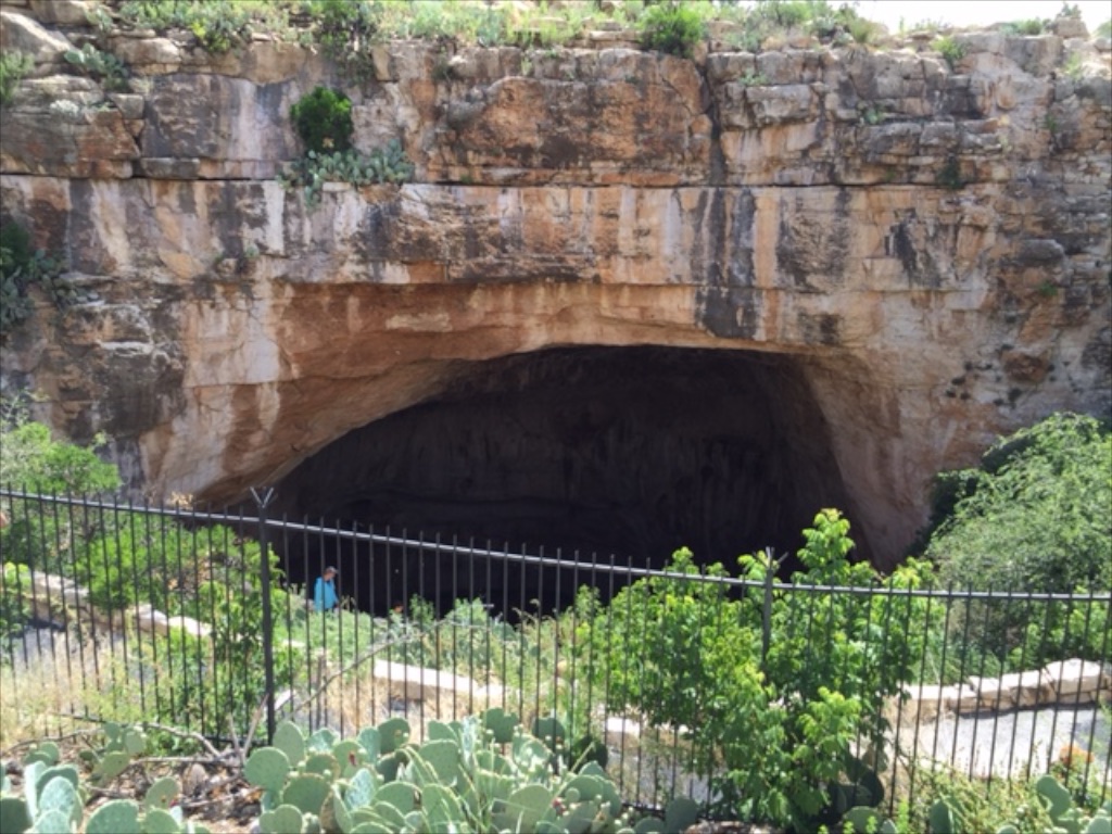
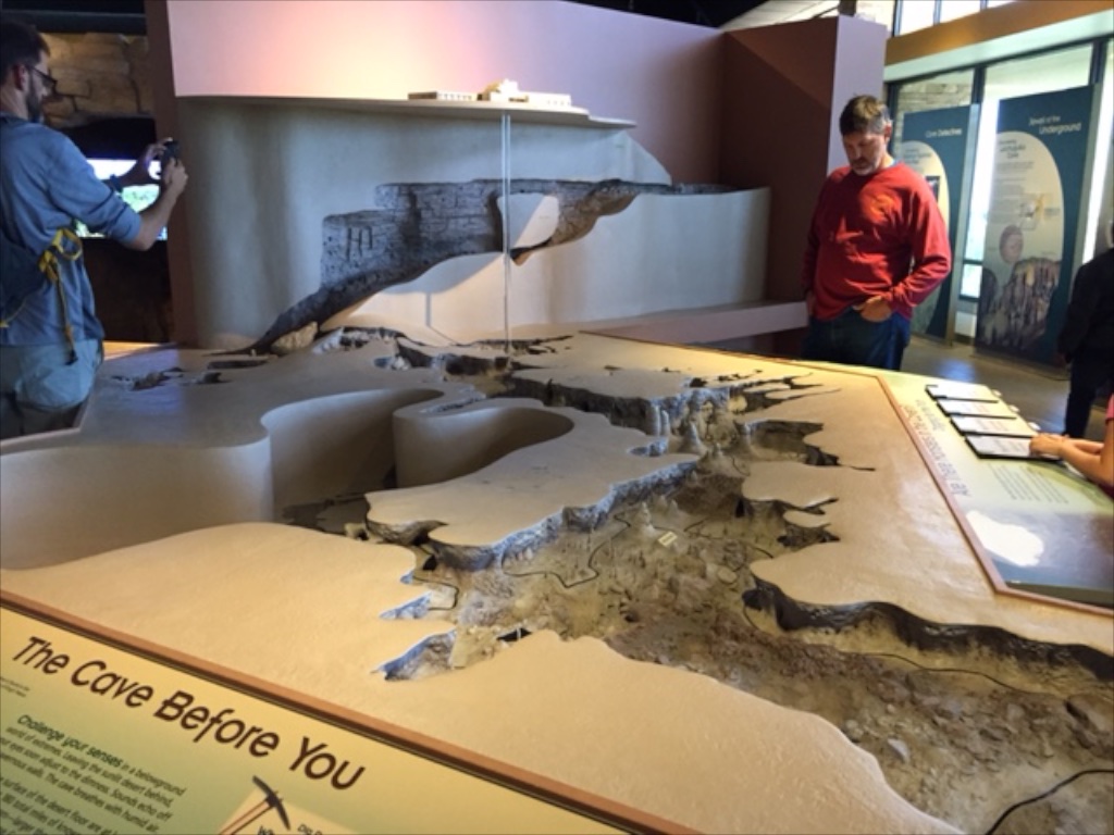
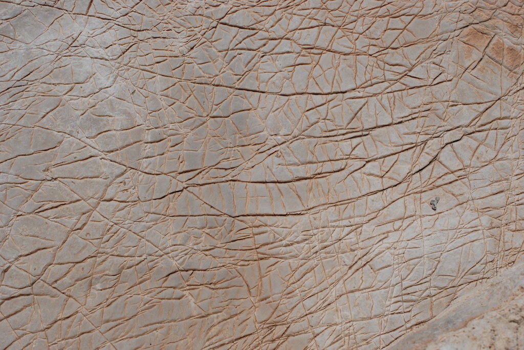
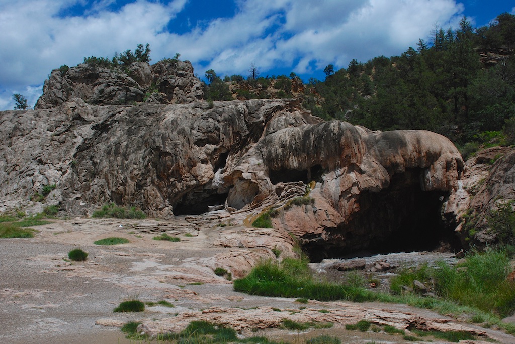
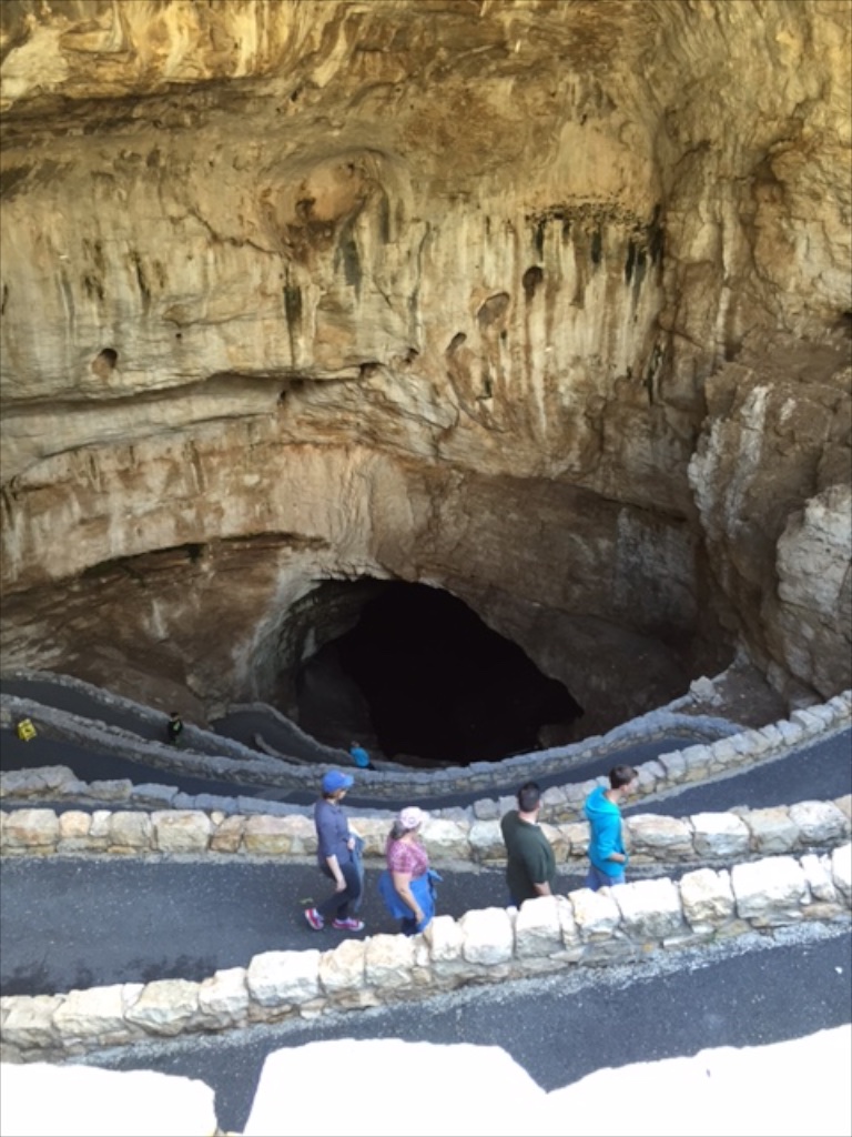 The bats roost inside the cave in an area closed to the public. Cave swallows roost in the entrance.


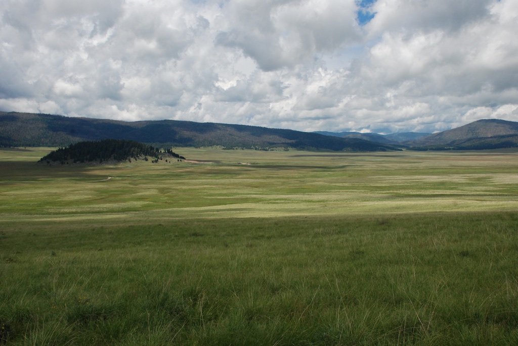
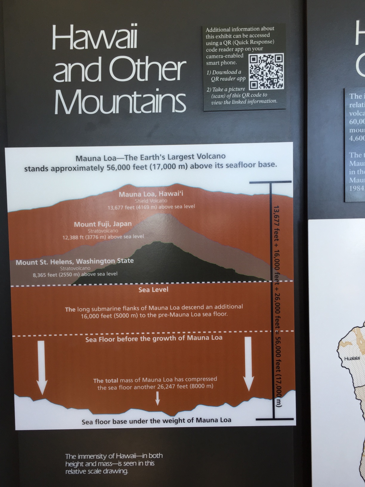
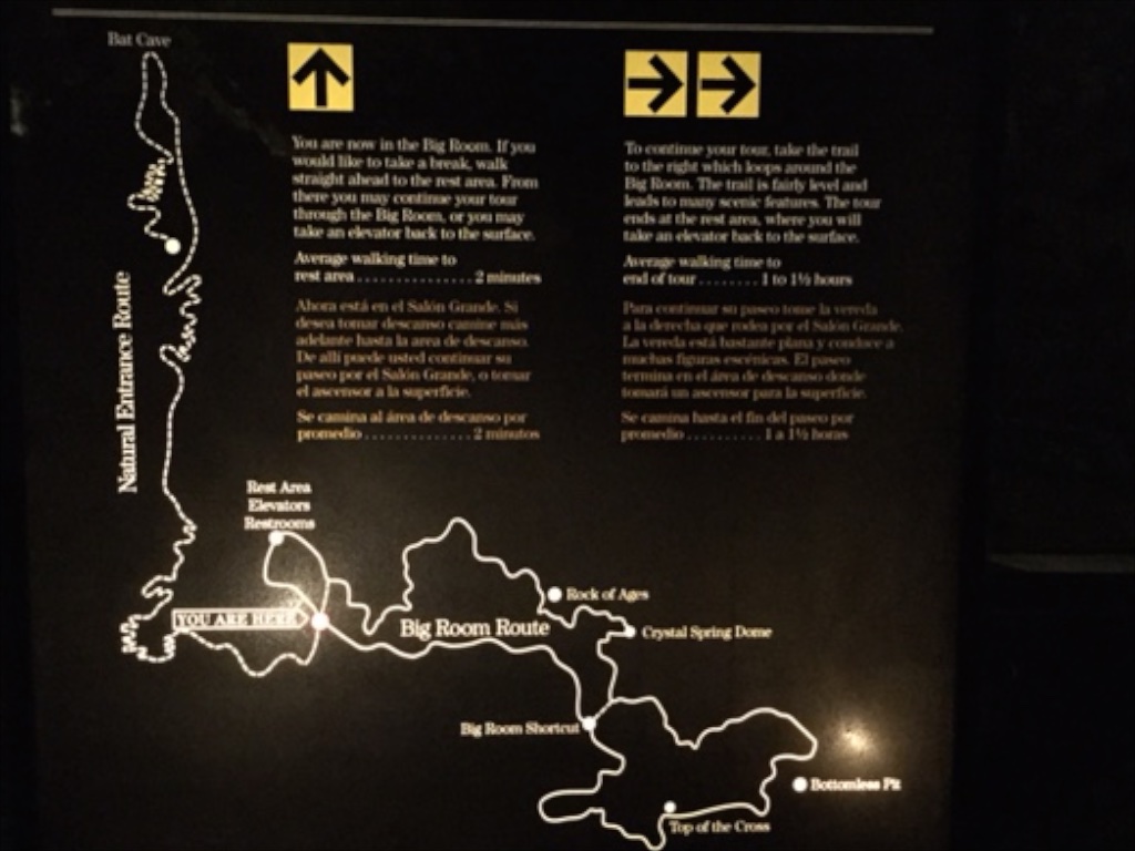
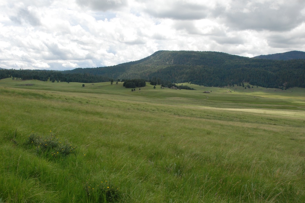 According to the sign we were standing on the rim of a collapsed super-volcano, 12 miles in diameter and magma is only 5 miles beneath.
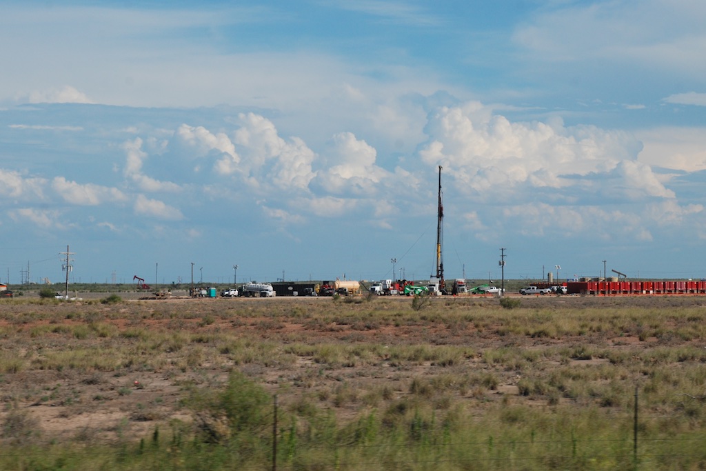
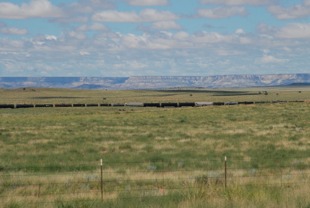
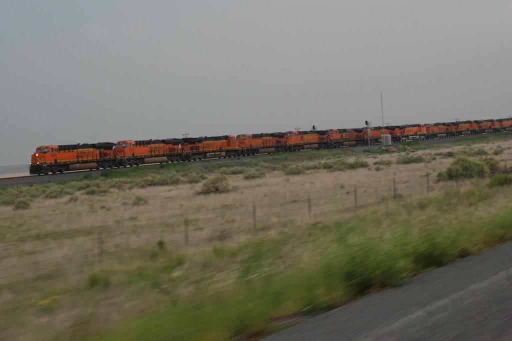 Another train view but this is a train made up of a dozen engines. We saw this the previous day also. Mulitple engines are used to pull (and push?) trains up the long grades and I guess they send those engines back to be ready for the next train. Many hours of driving later and about dusk we got to Roswell,
