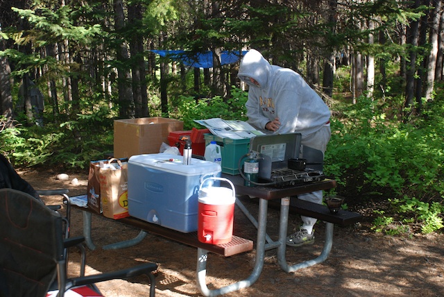
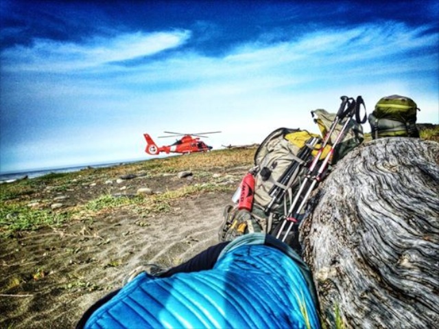
In the last post did I say how cold it was when we went to bed the first night in Yellowstone? The cold plus the bison in the campground make me wish that I didn't have that middle-of-the-night call of nature. However, maybe that's a good thing because it was starting to rain and I shut the tailgate and the camper window. When everything is shut up it is warmer inside, but it is also stuffy and the windows get wet with condensation. There are trade-offs and stuffiness is probably better than feet in a wet sleeping bag especially when the temperature dips into the 20's. The green truck is too old to show the temp but that's what my iPhone said when I asked. So instead of rain we had snow during the night. Not a lot, but nevertheless, snow. Once again we didn't linger over our breakfast of instant oatmeal but got in the truck and turned the heater on.
I chose way too many photos for this day's blog and I should cut some out, but I probably won't. I like blogs that are mostly photos...
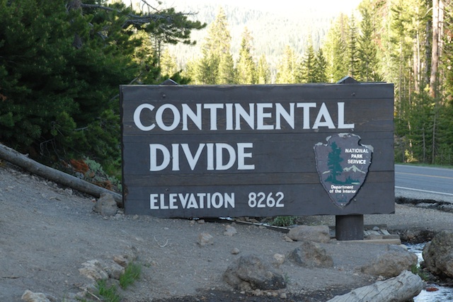
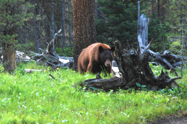
Our plan for this day was to drive the northern loop starting with Mammoth Hot Springs and ending with the Grand Canyon of the Yellowstone.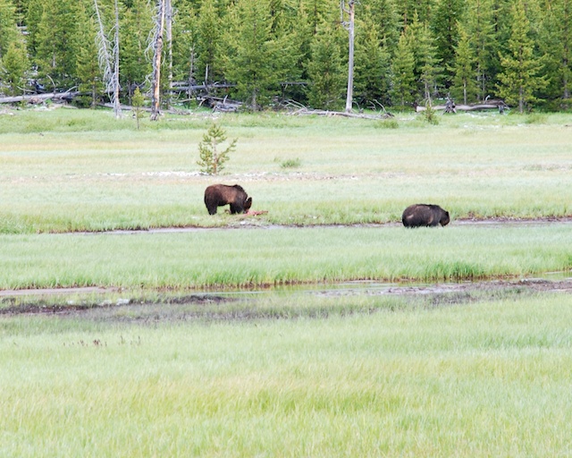 Not far from the campground we saw our first grizzly bears - from the safety of our truck. (Even though I have been told by blog readers that the bear we saw in Grand Teton was a grizzly bear and not a black bear we thought it was a black bear at the time and I prefer to think that we were hiking with black bears, not grizzlies.) The one on the left was eating a carcass of something and was wearing a collar. They were being watched by a park biologist. I wonder if the park personnel always keep track of bears that are collared and monitor them when they show up near a road? One thing that we learned quickly is that being a Park Ranger in Yellowstone means Wildlife Traffic Patrol. Do you know an easy way to spot wildlife?
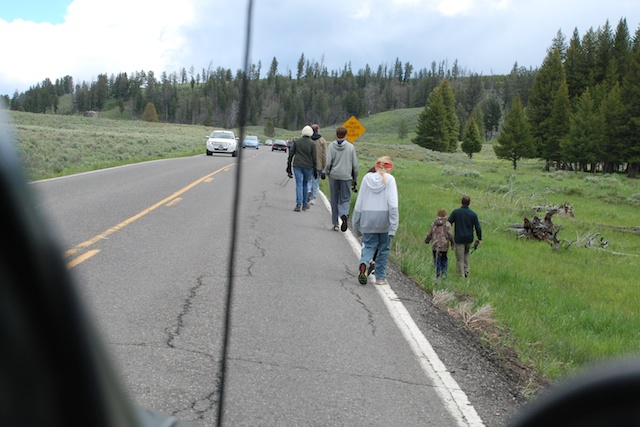 Just look for parked cars and people walking along the road.
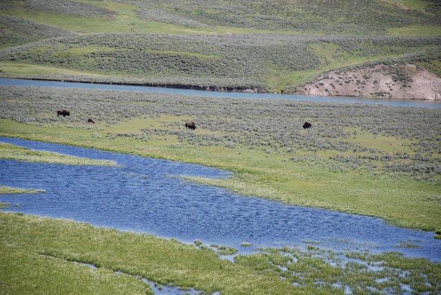
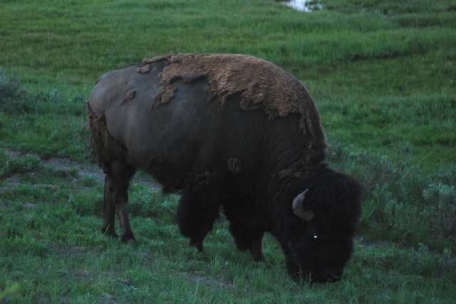
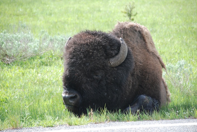 It didn't take long to find more bison...
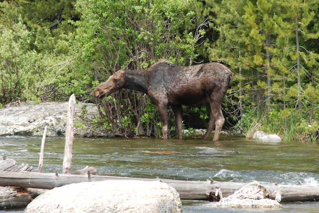
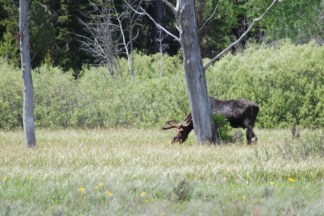
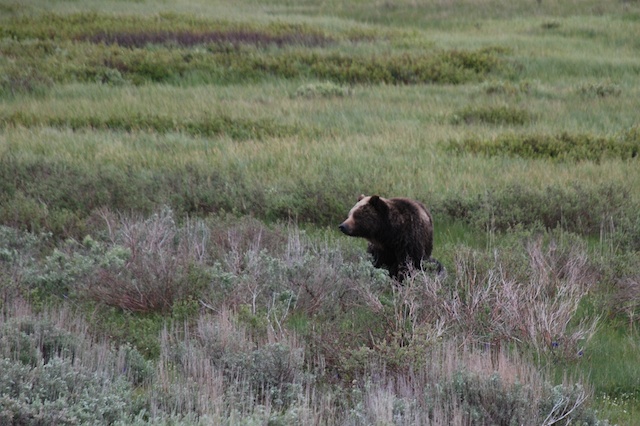 …and more bears. This one wasn't alone.
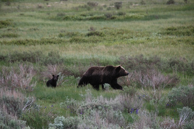
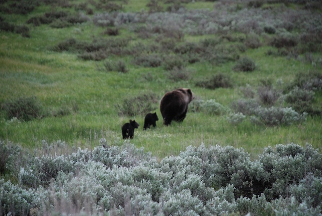 I know, the sagebrush is more in focus than the bears, but that may be my last grizzly bear photo.
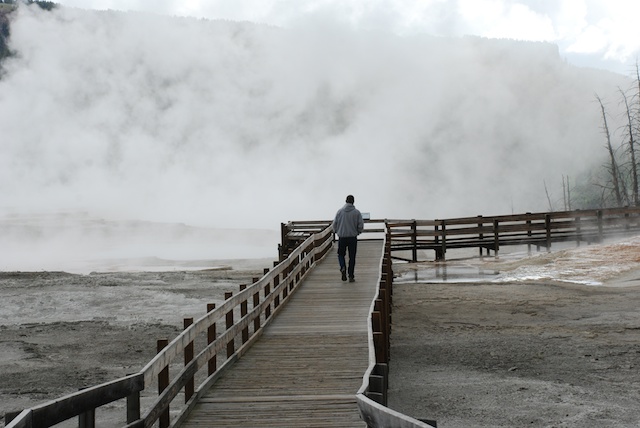
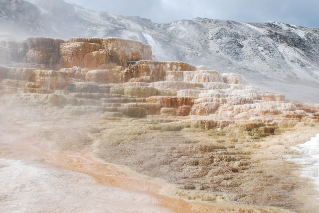
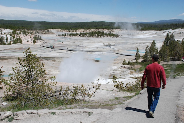
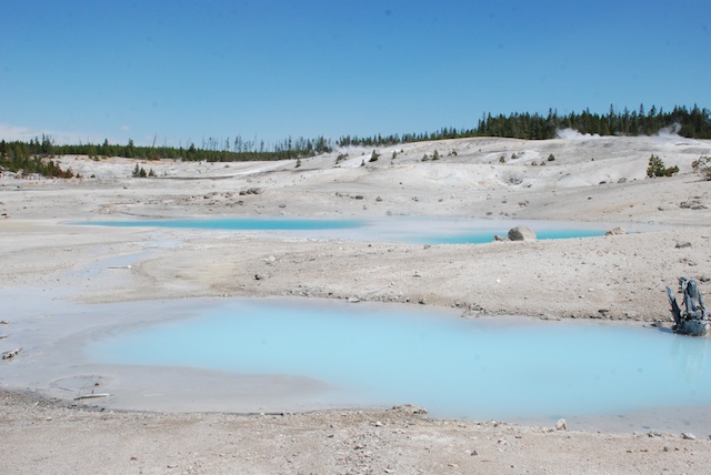
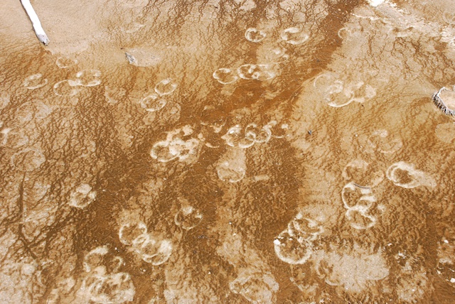
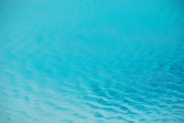
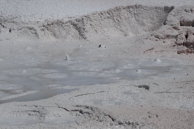
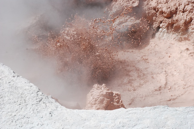
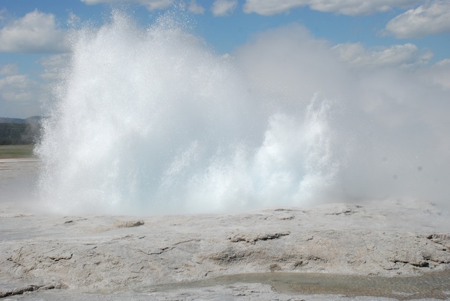
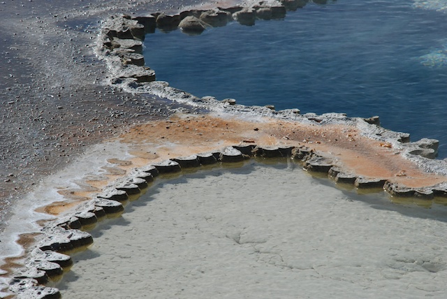
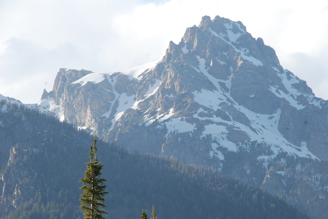
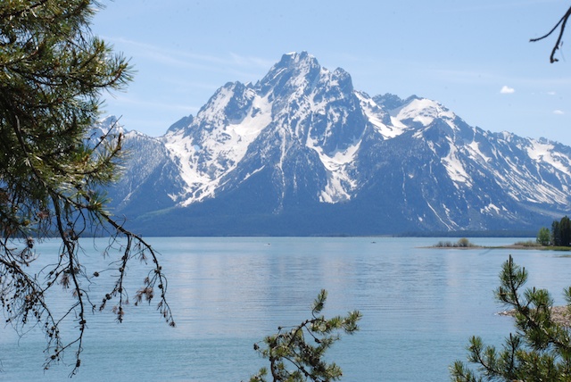
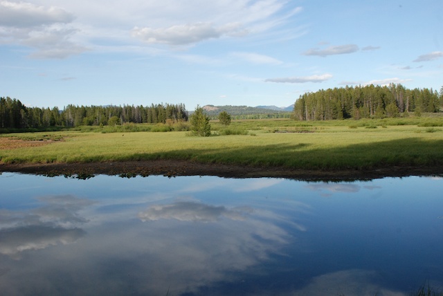
It was still early and when we got to Mammoth Hot Springs Terraces the weather was not looking good. It was cold and windy and during our walk along the boardwalk trails it started snowing. But the changing conditions only made the views more dramatic.


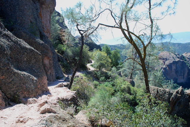
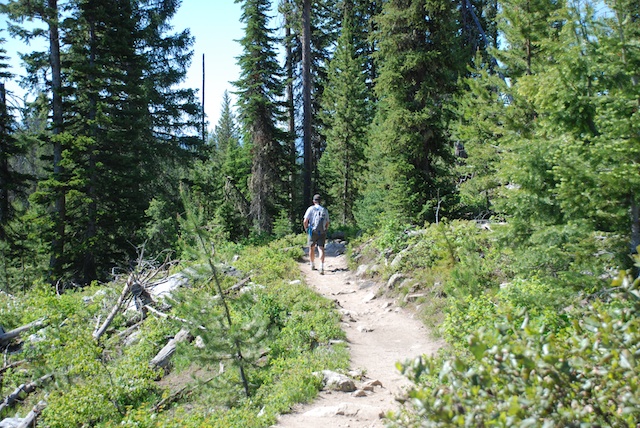
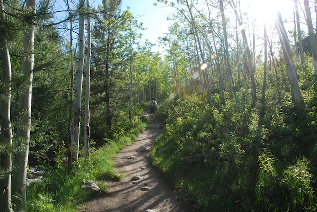
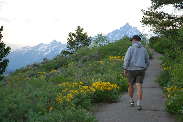
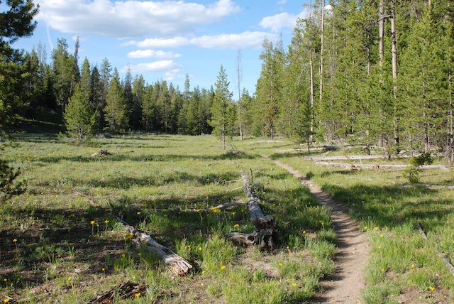
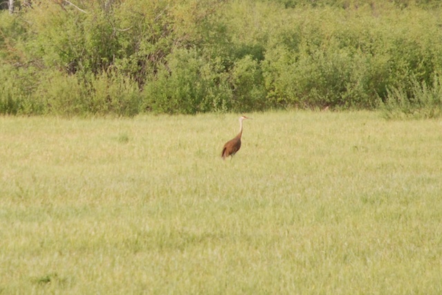
 We didn't hike any long trails on this day but there were many shorter hikes.
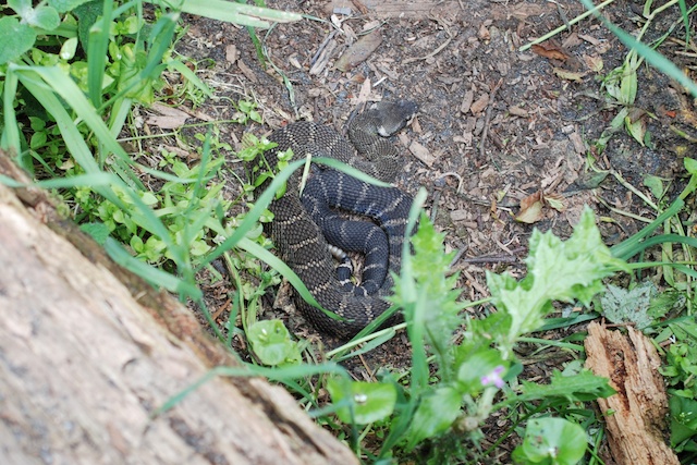
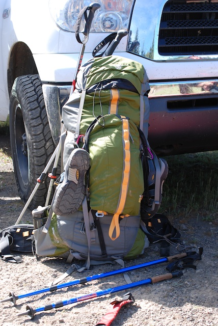
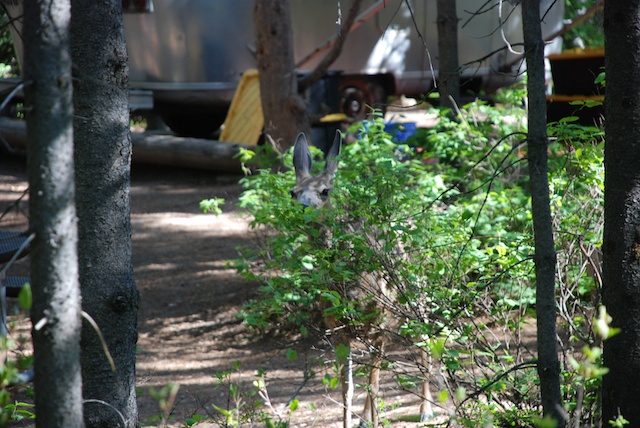
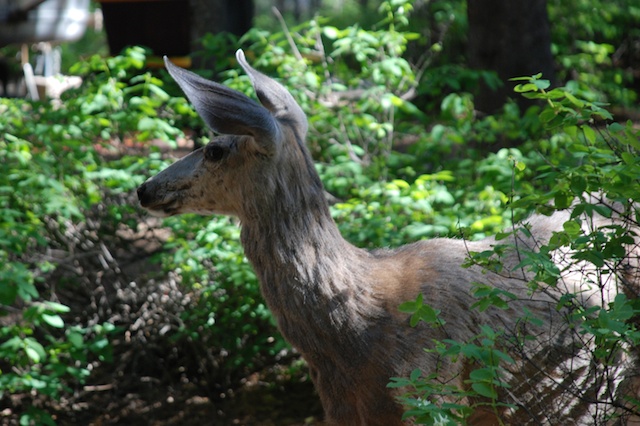
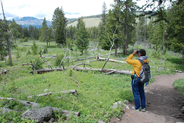 There were people stopped on the road watching a black bear when we got out of the truck to take a half mile trail to see Wraith Falls. Dan was trying to decide if the bear was still entertaining people on the road or had retreated in our direction. Note bear spray with orange cap in the backpack pocket.
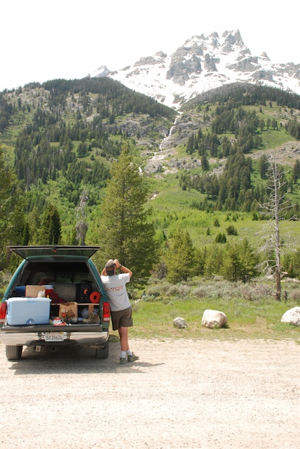
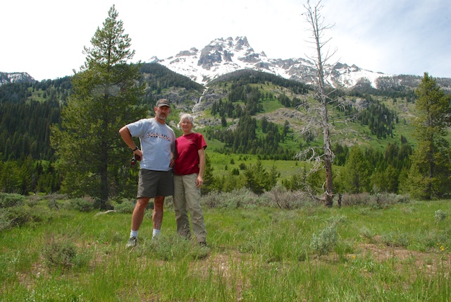
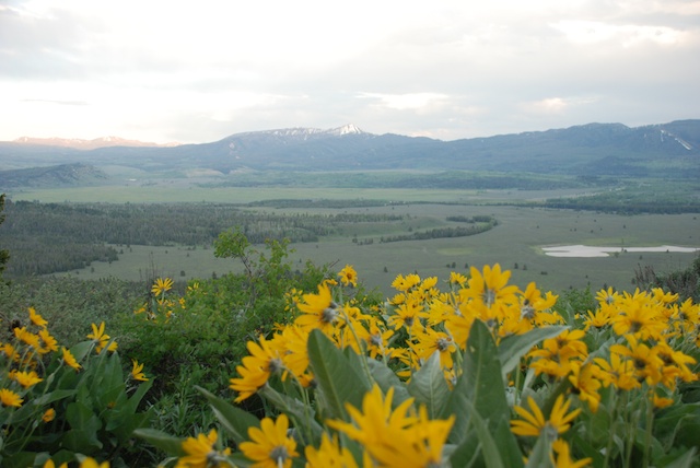
There are several one-way roads that you can use to get off the main road. 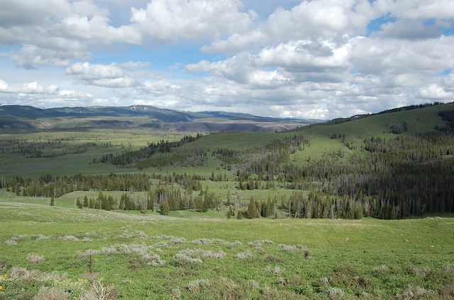 Blacktail Plateau Drive is one of them and the scenery is majestic.
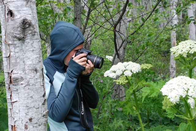
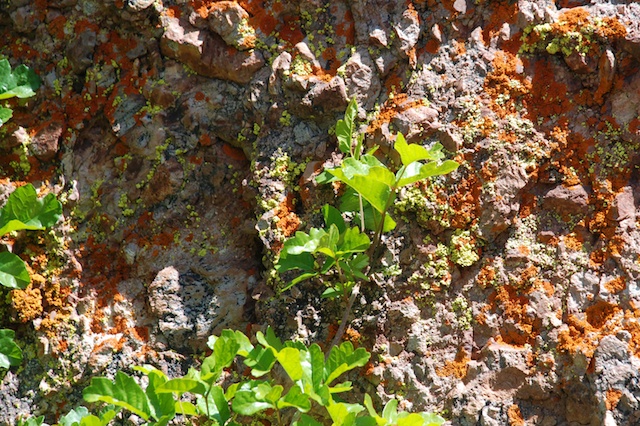
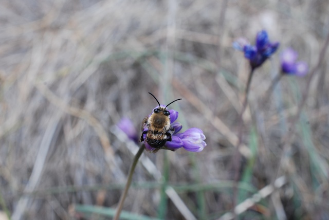
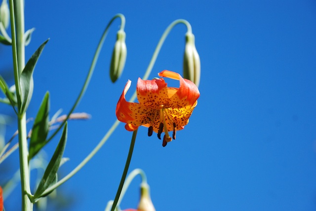
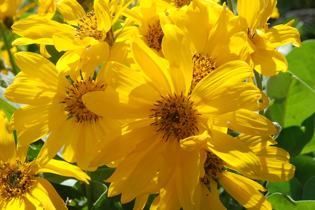
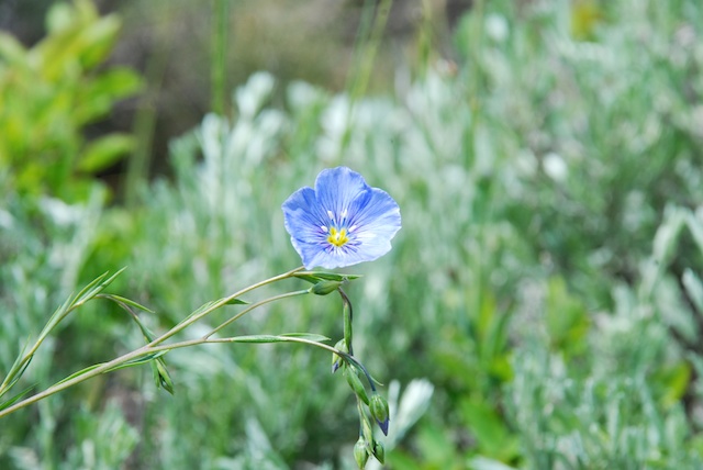 To my surprise Dan asked if I wanted to stop and take flower photos. I am usually teased about this habit. This one is wild flax.
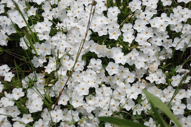 Phlox.

I wish I knew what this flower is. From a distance it looks like single blue flowers. It's only when you get up close that you see that it is lots of little tiny flowers.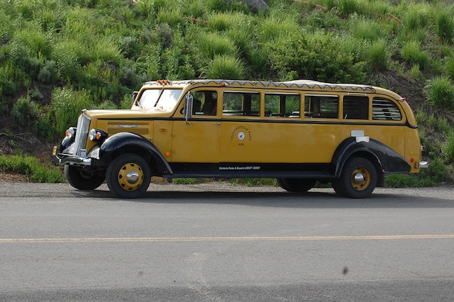 We stopped at another waterfall trailhead and Dan took this photo of a 1936 touring van that he had just read about. These were canvas topped vehicles used in many of the national parks. They seated 14 people and in cold weather (at least in the northern parks) they provided Pendleton wool blankets for the passengers. At least some of the vehicles were used into the 1990's when they were just too old to keep running. The Park Service replaced the old vehicles with modern Dodge vans but the visitors wanted the old touring vans. So they are on the road again but Ford kept just the top part and replaced the chassis (and all the important things like brakes) with new parts.
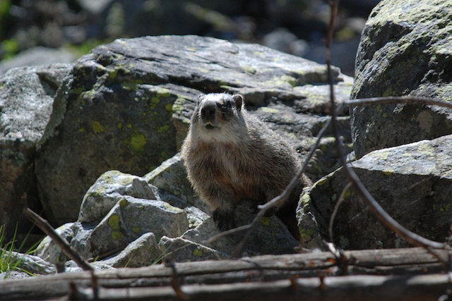
Speaking of vehicles it seemed as though each of the parking lots at the main attractions had it's own sentry. This one was eating crackers.
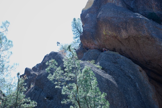
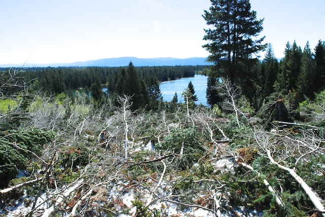
It was getting late in the day by the time we got to the Grand Canyon of the Yellowstone. There are several access points and trails on both the north and south sides. We knew that we didn't have time to hike all the trails, but we went to all the overlooks and walked a few of the trails. 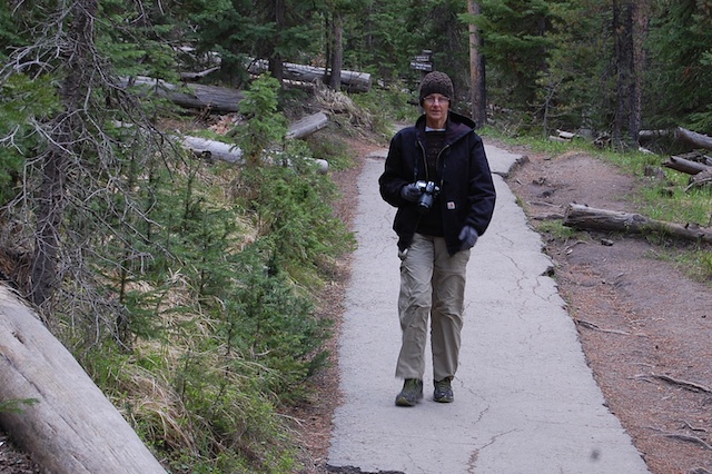 We took Uncle Tom's trail to a viewing spot of the Lower Falls. Writing this blog I'm in a tank top and shorts with the fan on and it's hard to remember that just 10 days ago I was bundled in two layers of wool, my Carhartt jacket, wool hat, and gloves.
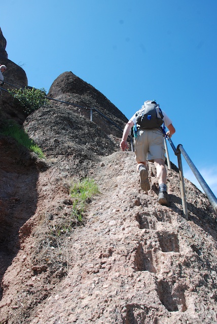
 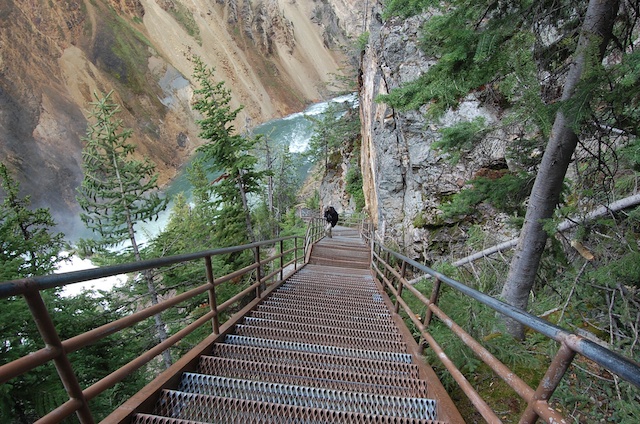 Originally this trail had over 500 steps and rope ladders. Now it has only 328 steps and no ladders.
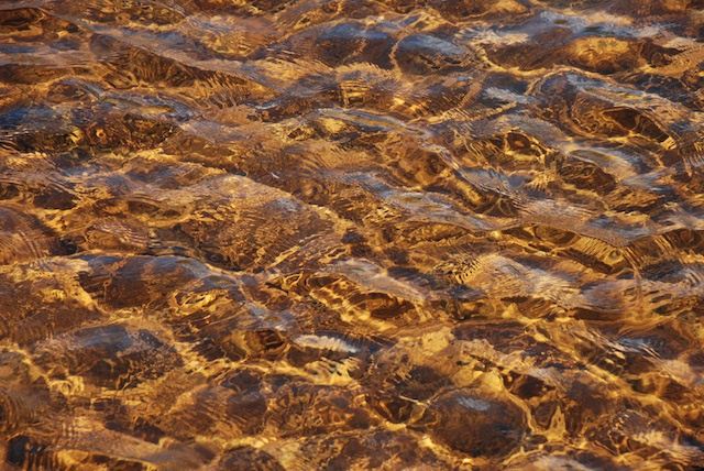
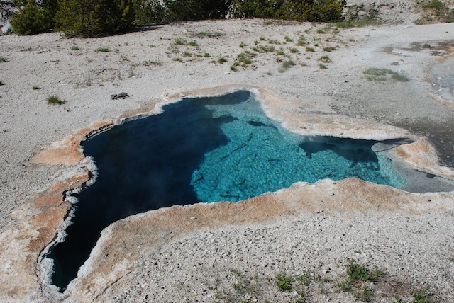
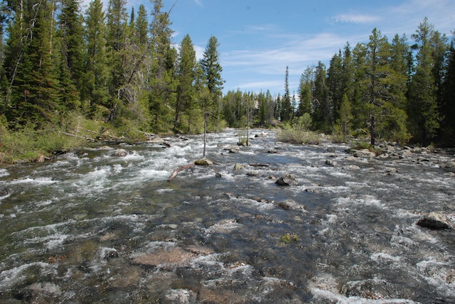
 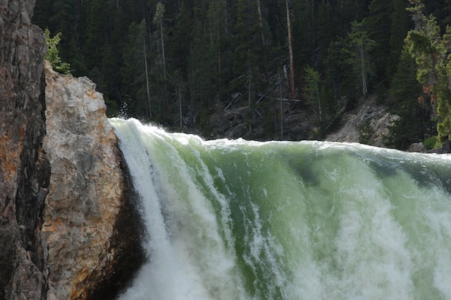 The trail no longer takes you all the way to the bottom but you still hear and feel the power of the water cascading over the rocks. I love the green color of the water here.
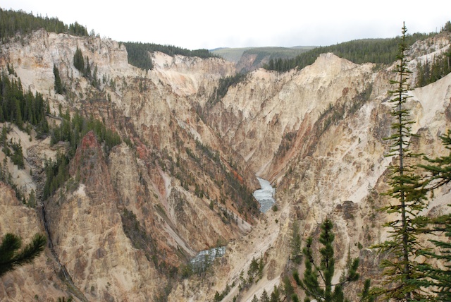 This is a scene of the canyon and the river taken from another viewing area. Simply majestic.
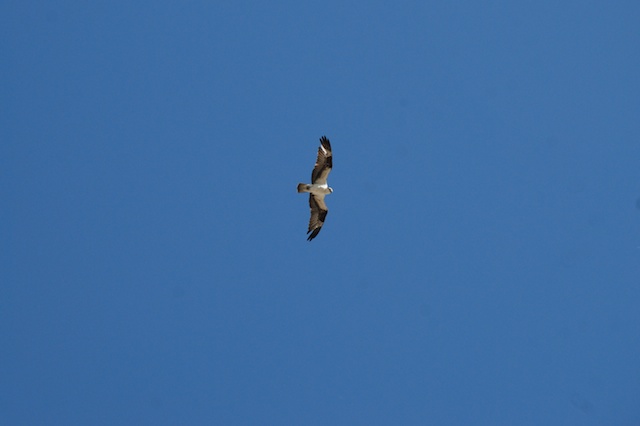
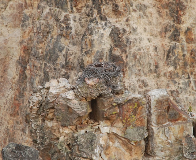 I don't think that I would have spotted this osprey nest except that some other people were looking with binoculars.
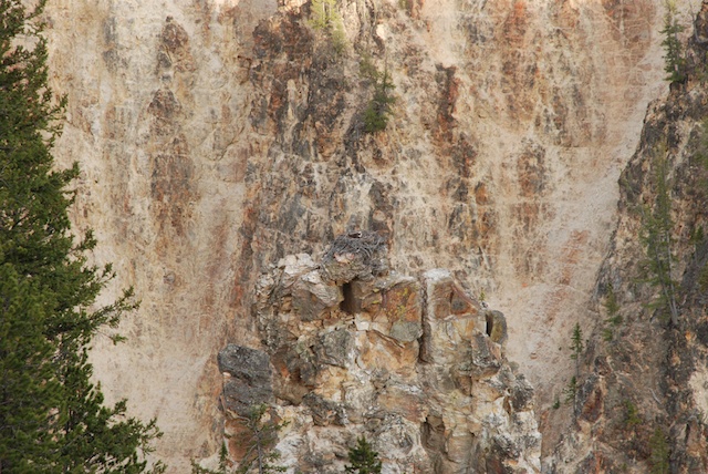 See what I mean? The top photo is a close-up of this one.
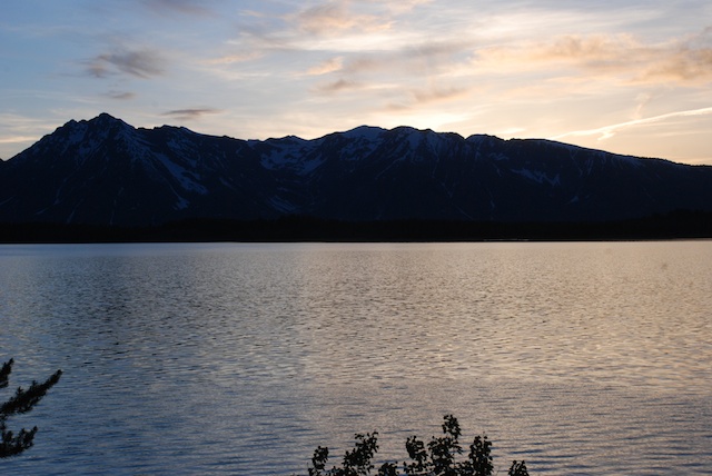
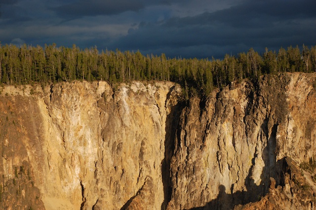 Another beautiful evening. Again we got back to camp at dusk, ate a couple of cans of beans and went to bed.
Next post: On the road to Oregon
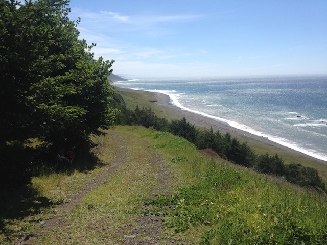
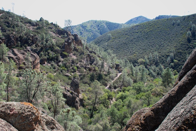
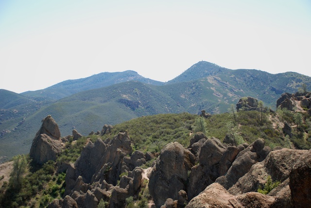
 This was very pleasant weather for hiking but it is NOT what we should be seeing in November. There was green grass that germinated with the rain that came over a week ago, and is growing well with the warm weather, but it's all going to die if we don't get more rain. That is what happened last year and the hills remained brown and gray with no feed for livestock or wildlife.
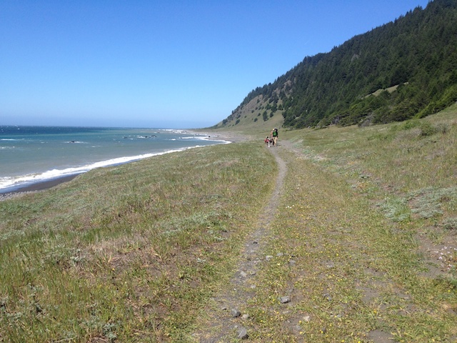
  Although the situation is dismal if it stays dry, the country is still pretty and the day of hiking was invigorating.
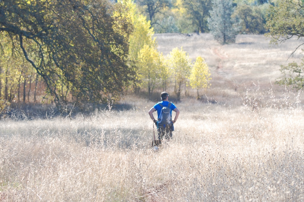
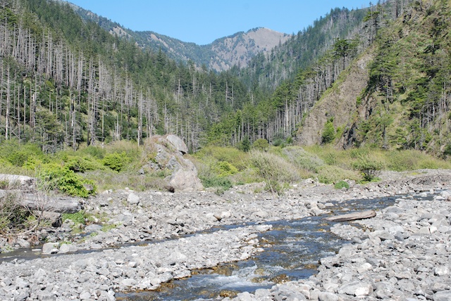
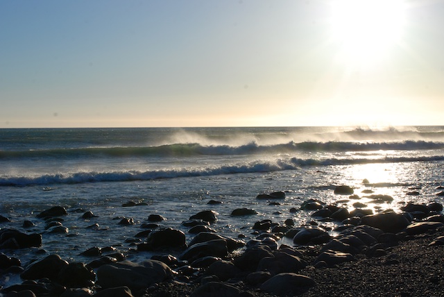
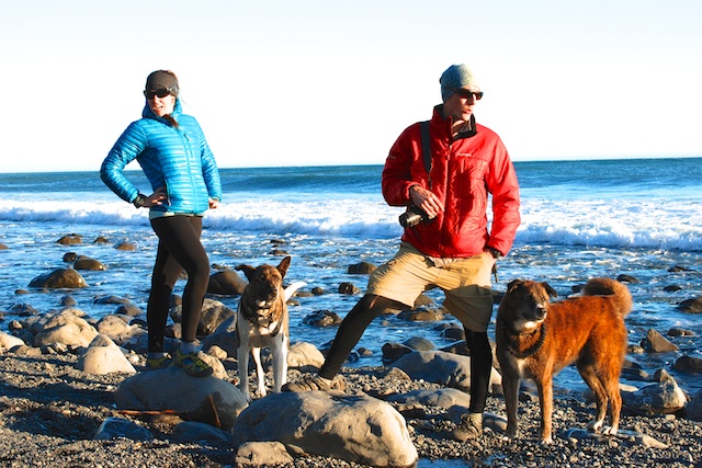
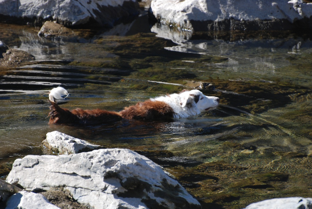 There was no water until we got to the river and the dogs were certainly glad of that. This is the North Fork of the American River.
 We ended up at the river at the site of the proposed Auburn Dam. I didn't remember any details about that, but looked up the information after we got home. Construction began on this dam site in the late 1960's. In 1975 there was an earthquake that was determined to be the result of the weight of the water behind the Oroville dam that is 50 miles north of the Auburn site and was completed in 1968. This caused a delay in the dam construction while the plans were redesigned. Ultimately, cost, potential seismic risks, and relative benefit of the dam site caused it to be abandoned although there were several attempts to resurrect it. I read one report that said that this dam would have been three times as wide as the Hoover Dam but the reservoir that would have filled the North and Middle Fork canyons would hold only 8% of the water behind Hoover Dam.
  I didn't take many photos of the remnants of the dam construction site, but the massive undertaking is obvious. This photo is a detail of the one above, looking across the river. I assume that those white spots are bolts of some kind. The whole wall is covered with cyclone fence as is the wall to the right in the photo above.
 This is a view up river of the dam site.
 Toyon berries.
  It was a good day of hiking. The dogs are tired tonight.
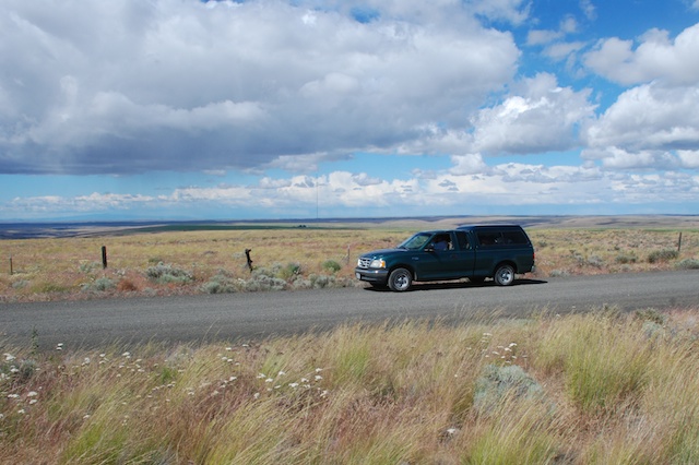


 As I've said in