Maryland 2018 - Day 2
/The second day of the trip began at the fairgrounds where I met up with Andy who had hauled my sheep from California.
 I got them situated near the other Jacob sheep and hung my newly made sign (that includes my location). I delivered my entries in the fiber and photo contests (a whole suitcase full--it's a good thing that Southwest allows two free bags). Then I went exploring.
I was looking for somewhere that I could do some hiking and get a feel for the country. I found a destination on the map called Soldiers Delight Natural Environmental Area. It was about a half hour away. On the way there I saw a sign for Patapsco Valley State Park so I stopped there first.
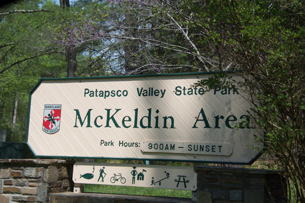
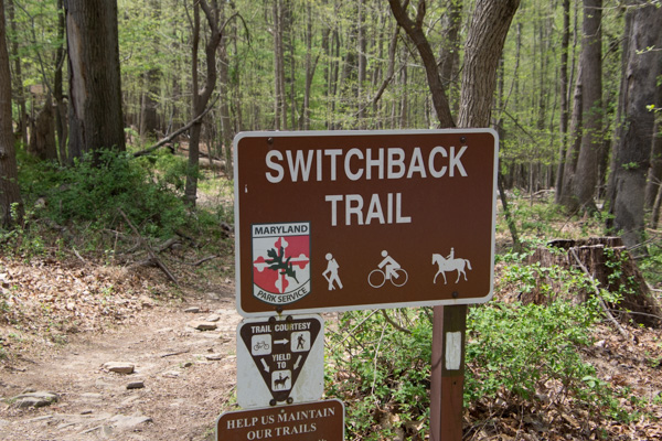
 This was a pretty area. It was "mixed use" including developed playground and lawn areas, but I stuck to the trails. I was not dressed for the weather. According to the news it was 90 degrees on this day and we haven't been that hot at home yet. Too bad I hadn't brought shorts...although the ticks that I found later made me think that maybe jeans were better anyway.
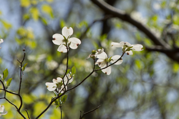
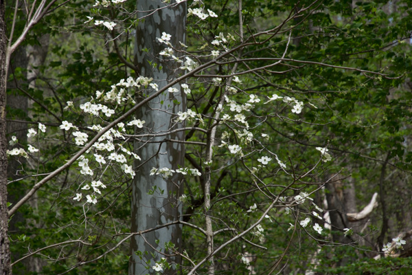 Dogwood. That's one flower that I knew.
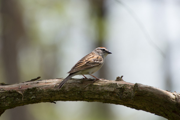
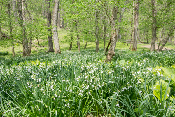
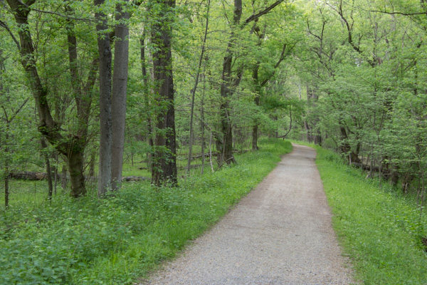
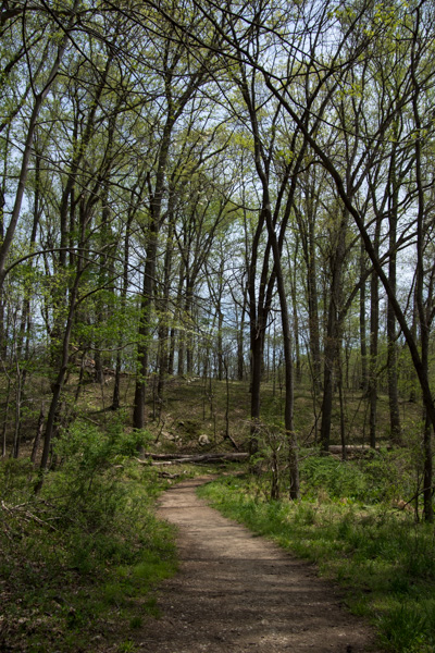
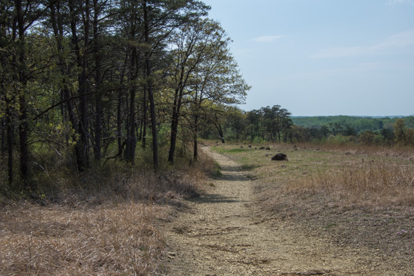
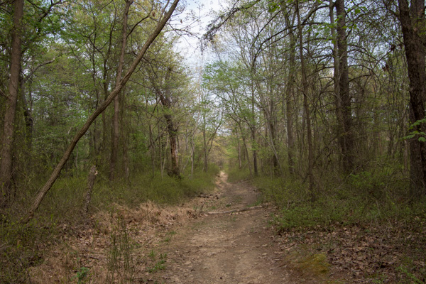
There were flowers (and a bird*) that I didn't identify, but I'm not obsessing over that. *ID by a blog reader: Chipping Sparrow / ID by another reader: lower flowers look like Summer Snowflake, Leucojum aestivum, a naturalized species native to Europe.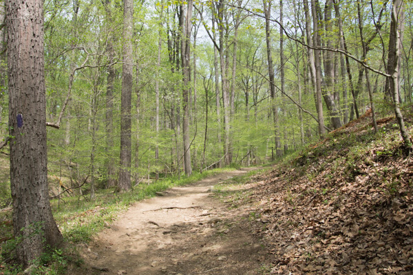 More of the trail.
After leaving that area I drove on to the original destination.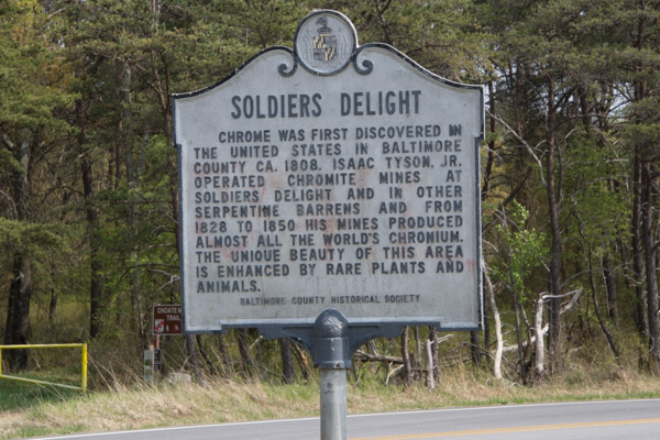 No one knows for sure why this place is called Soldiers Delight but the purpose for preserving it is the unique geology and ecosystem.
 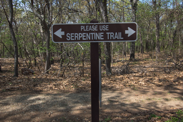 From Wikipedia: "The site is designated both a Maryland Wildland (1,526 acres) and a Natural Environmental Area(1,900 acres) ... The site's protected status is due to the presence of serpentine soil and over 39 rare, threatened, or endangered plant species along with rare insects, rocks and minerals."
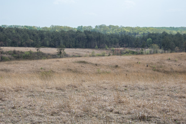 "Weathered serpentinite is dissolved rock, transformed into thin, sand and clay poor soil which is easily eroded. This creates a land surface which is stony, unfertile and sparsely vegetated and is the reason that the term "serpentine barren" is used to describe these areas.
 Signs explained that "the serpentine grasslands and oak savanna systems are now imperiled due mainly to the lack of American Indian and lightning fires which are critical to this fire-dependent ecosystem...The oak savanna ecosystem is one of the rarest communities in Maryland." Over 90% of the less than 1000 remaining acres lies within Soldier's Delight NEA.
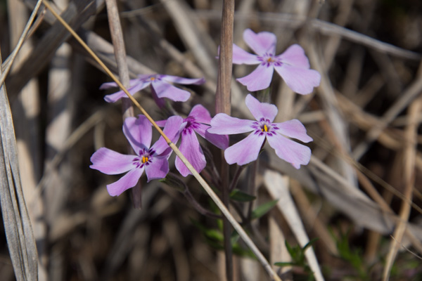
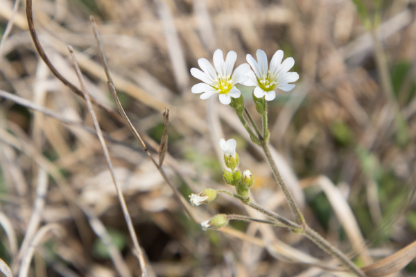
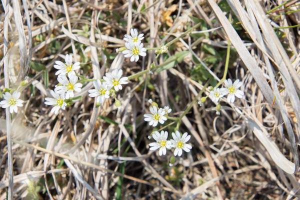
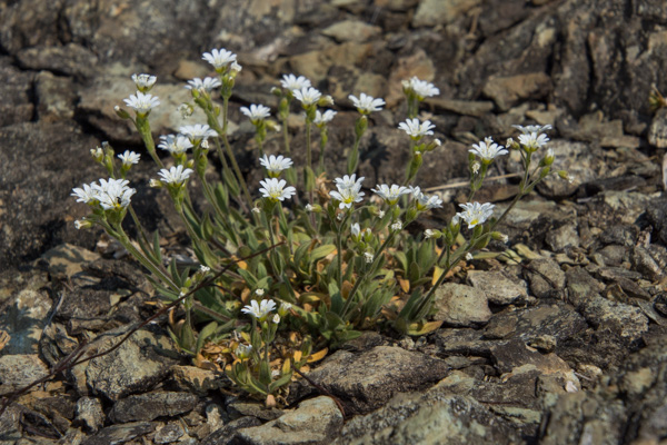
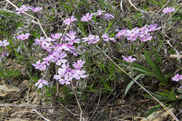
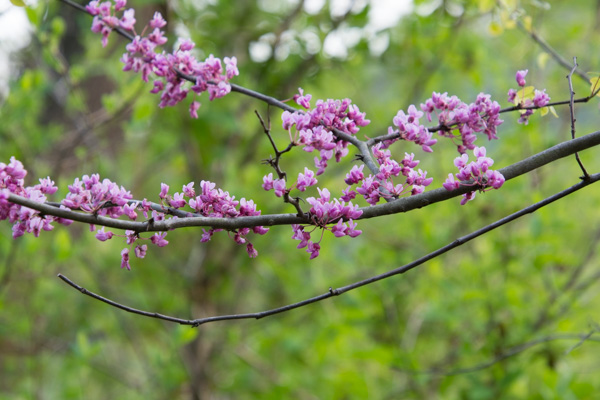
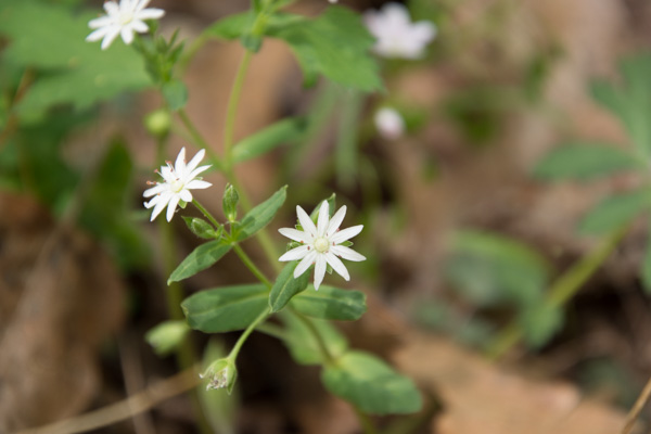
The white flower is the endangered Serpentine Chickweed. I think the purple one is a Phlox species.
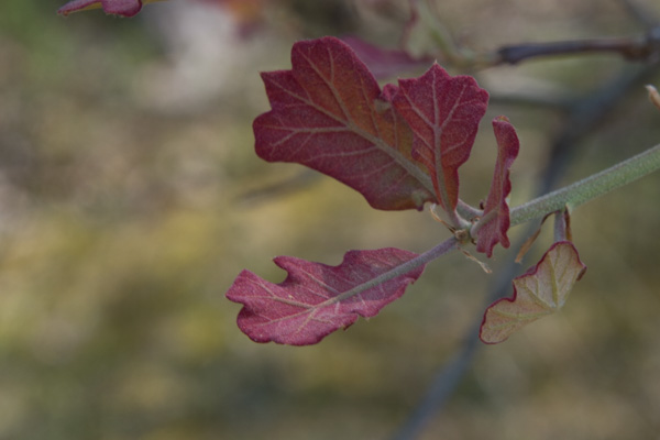
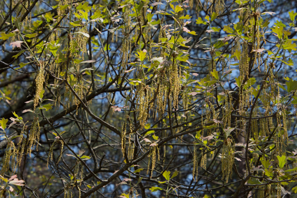
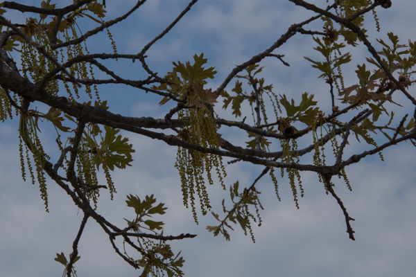
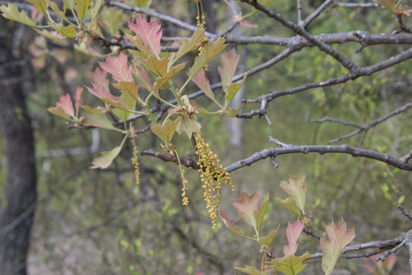
Blackjack oaks, post oaks, and black oaks are here.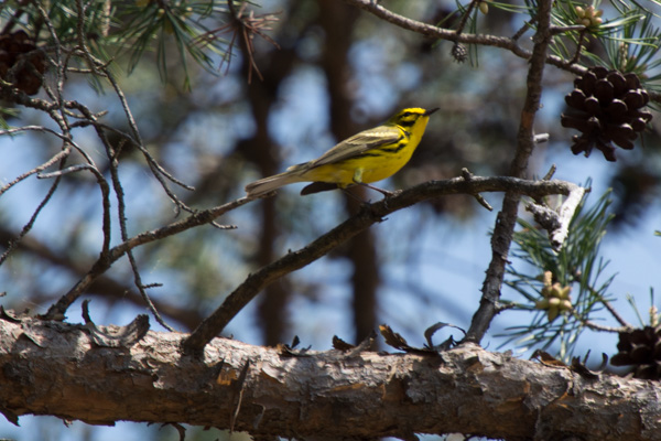 Praire warbler.
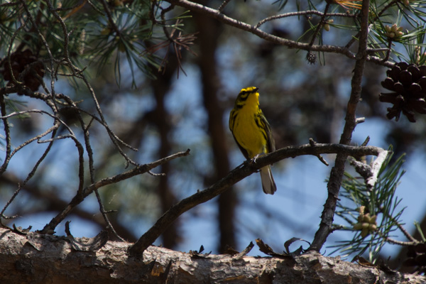
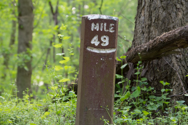
 I hiked the 2-1/2 mile trail around the grassland area and came back up to the main road. I decided to take another trail that went to the chromite mines. Half way through this one I started to think that maybe I should have brought water...and food. I realized how hungry and thirsty I was. It was already about 3:30. Did I say that it was very hot? I started to have visions of having to be rescued. Or not--how would anyone know where I was? I also found a tick on my hand. Then I started to feel like there must be ticks everywhere. Forget those mind games. I was still enjoying the new landscapes.
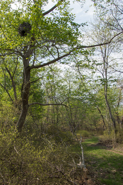 I happened to look up and saw this.
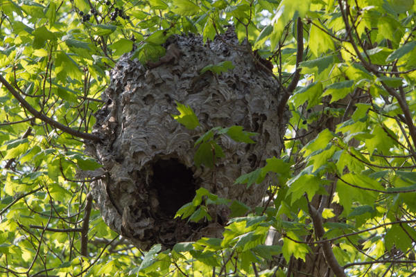 Here is a closer view.
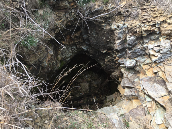 Along the way I found the Choate mine that operated from 1818 to 1888 and for a brief period during WWI. I had expected something bigger when I read the sign pointing to a pit mine (picture the massive mines I've seen in the west). It's hard to imagine that it was a few holes like this produced the world's supply of chromium.
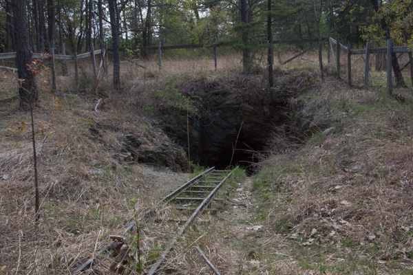 This is one of the other mines. I did make it back to civilization without mishap (and only one other tick).
I got back to the fairgrounds in time to meet up with friends and go to dinner in Frederick. Stay tuned for the main event!
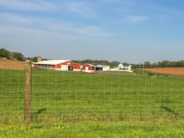 I didn't want to take the main highways because I love seeing the farm country.
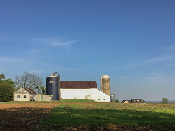 I pulled over in a couple of places just long enough to get photos with my phone.
 You can't tell from this photos but that tractor is big enough that the car I'm driving could have almost gone right under it. I don't know what crop that is for.
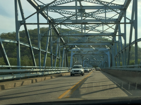 Crossing the Potomac River. I crossed a couple of times before I found the parking area for the National Historical Park at a place called Point of Rocks. (Actually I parked elsewhere and finally found this when I started walking toward the river.)
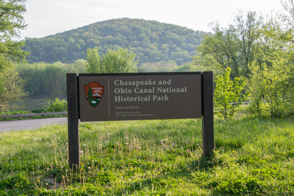 The C & O Canal follows the Potomac River for 184 miles and was used for about 100 years as a way of transporting lumber, coal, and agricultural products.
 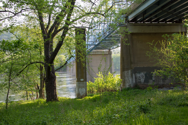 The bridge from below.
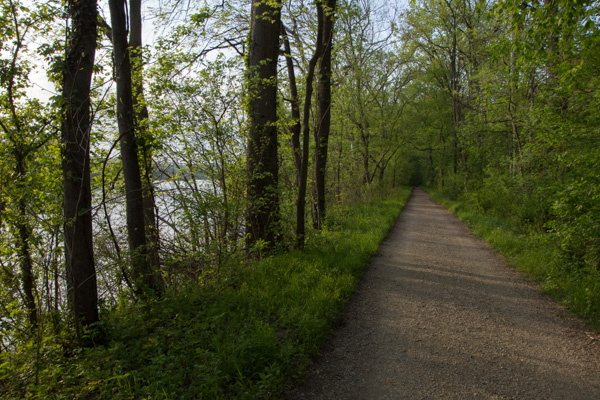 I walked along the towpath for an hour or so.
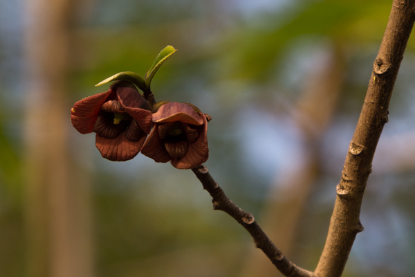 Here is a tree I haven't seen before. Flowers on the pawpaw tree.
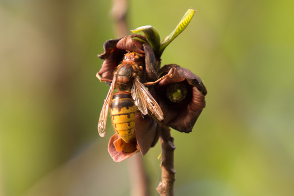 I don't know what kind of insect this is but it is a big one.
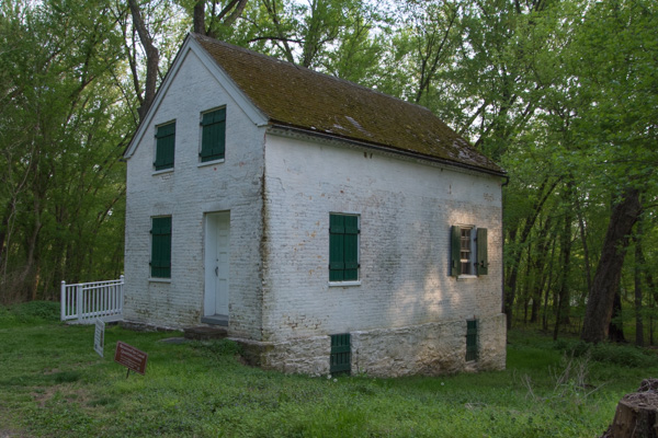 There are some lock houses still standing along the canal. These were houses provided to the locktenders who would be available to operate that lock 24 hours a day. This house, built in 1837, has been fixed up and is available for rent.
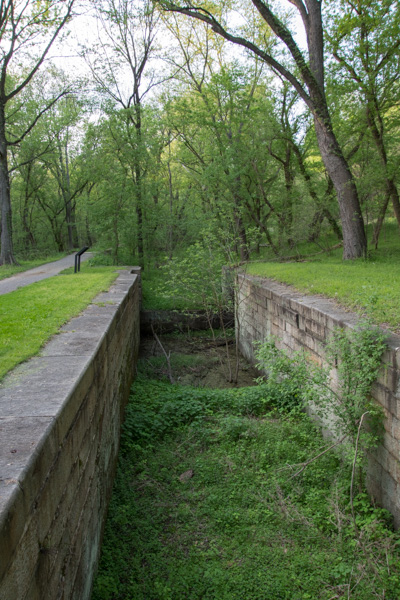 A view of the lock.
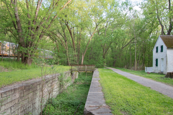 This photos shows the scale and proximity of the house, the canal and the railroad. Point of Rocks is famous because it is where the battle for the transportation rights played out. The mountain on one side and the river on the other left a narrow strip of land. "Both the C&O and B&O [railroad] fought in court for primary access to this “point of rocks.” The C&O won but the two companies compromised, sharing the narrow passage from here to Harpers Ferry.