Maryland 2018 - Day 5
/This seems like a long time ago now because I am so busy with sheep and farm stuff, but I do want to finish my Maryland story. I left off at the Sheep and Wool Festival on Days 3 and 4. On the first day I had explored a bit of the C & O Canal System and I wanted to see more on the day that I had left in Maryland.
I had spent quite awhile studying the maps and the website to figure out how to best spend my time. The whole length (184 miles) of the Chesapeake and Ohio Canal is part of the National Historic Park. I like the National Park Visitor Centers and there are several along the canal, but I found out that not all were open. I decided to drive to the Cumberland Visitor Center which is at the end of the canal in Western Maryland. 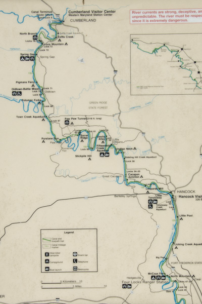 This map shows just the western half of the canal and it really should be turned 90 degrees because the canal runs east-west. I was staying in Frederick which is about a half hour from the Potomac River and the canal. I headed for the canal at a place called Four Locks.
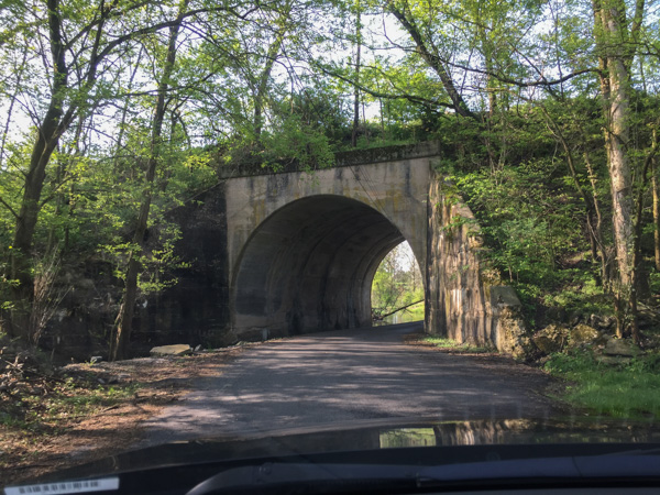 In this area the roads cross back and forth under the railroad which also follows the river. In fact a lot of the story of the canal is about the competition between people who thought the canal would serve as the best way to transport coal to the west and those who supported the railroad.
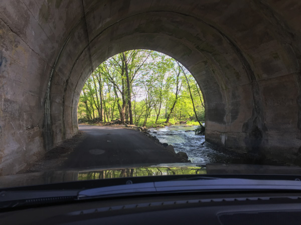 The railroad goes over the road here and the creek runs through the tunnel.
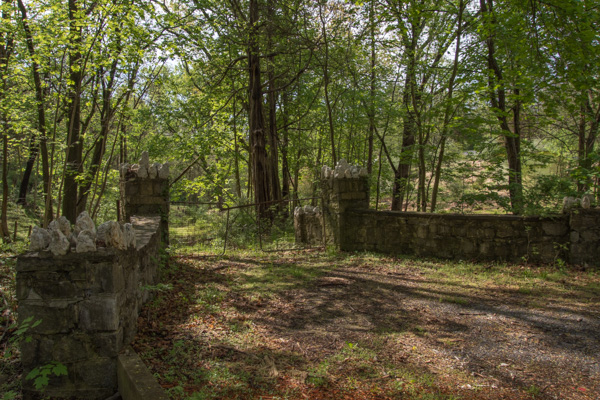 I followed my phone directions and found myself turning off the main road onto other narrow roads that wound through the woods.
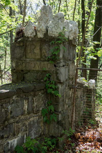 This is a detail of the stone fence in the previous photo...
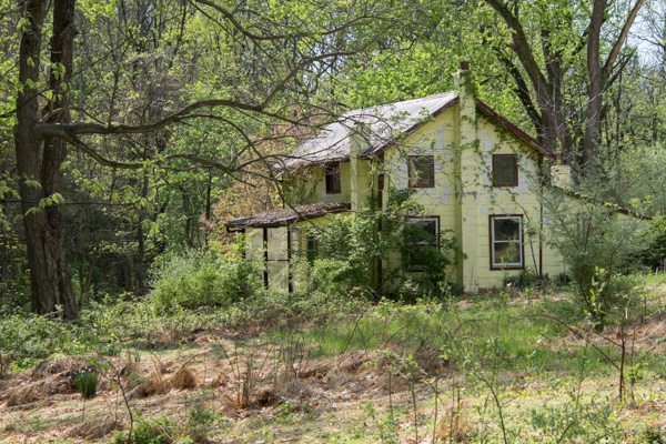 ...and this is the abandoned house at the end of that driveway.
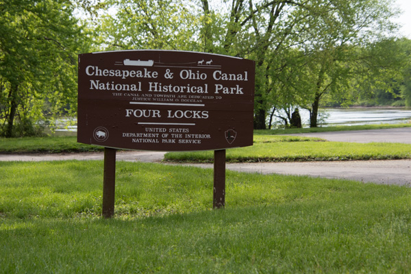 I found Four Locks, so named because the Potomac River makes a large loop here.
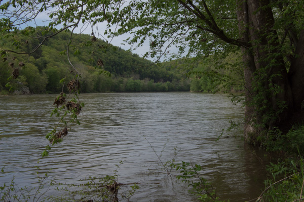 View of the Potomac River.
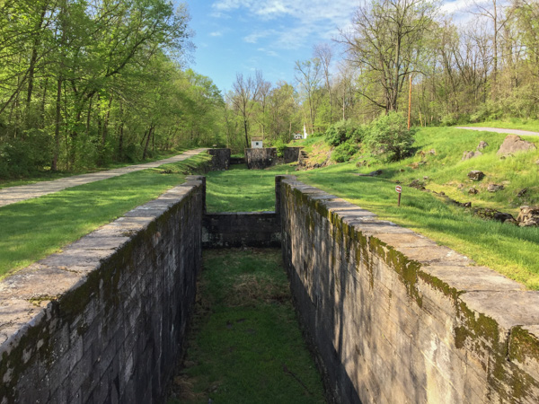 Rather than build a canal the length of the loop, the canal makes a short cut, necessitating four locks (#47-50) all within a half mile.
 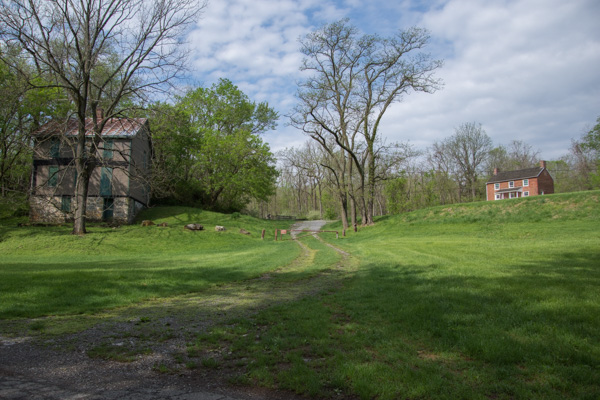 The locks were built in 1836-1838 and until the canal closed in 1924 there were two general stores, two warehouses, a dry dock, mule barn, post office, school, farms, and houses in this community.
 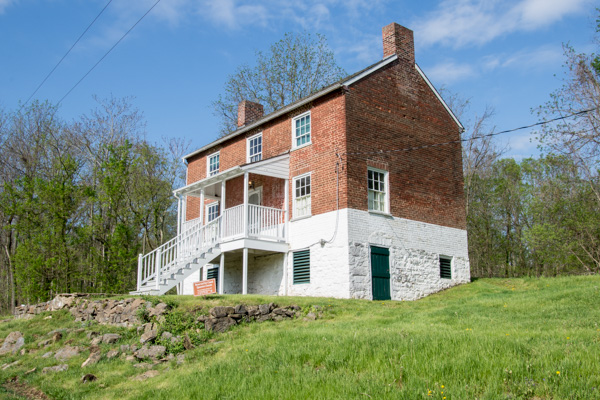 The lockhouse at this location is available to rent for overnight stays.
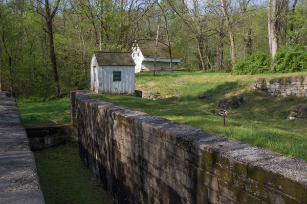 That is the mule barn in back. I read that there were 3000 mules working on the canals moving boats between the locks. I found it fascinating to imagine the effort that went into this endeavor--not only the construction but also moving boats up and down the canals. I hadn't made it to the Visitor Center yet so didn't yet have the full story.
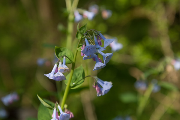 Virginia bluebells.
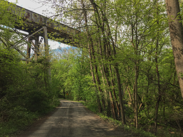 After walking around Four Locks I wound a few more backroads to find McCoys Ferry, a crossing on the Potomac. That is the railroad passing overhead. Then I got back to the freeway to head to Cumberland.
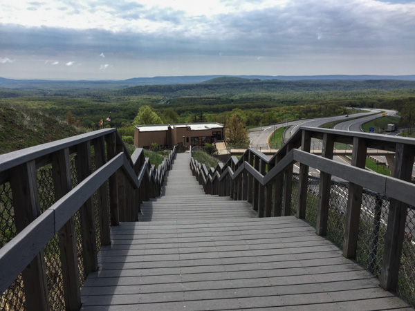 This is Sideling Hill Visitors Center, a rest stop along the highway with a great view over the pass and interesting geology in the road cut.
There is too much to see so I'll need another blog post or two.
