Road Trip to Washington - Day 2
/The first day of this series of blog posts was rather boring--just driving north to get to where we were going. It will get better, at least for those of you who like scenery of our fabulous country.
We arrived in the dark at Doug and Karen's place in Newberg, Oregon. They have bide a wee farm and raise Jacob and Navajo-churro sheep. I have known them for years and have some of their sheep but have never been to their farm. The next morning we followed them around as they did chores.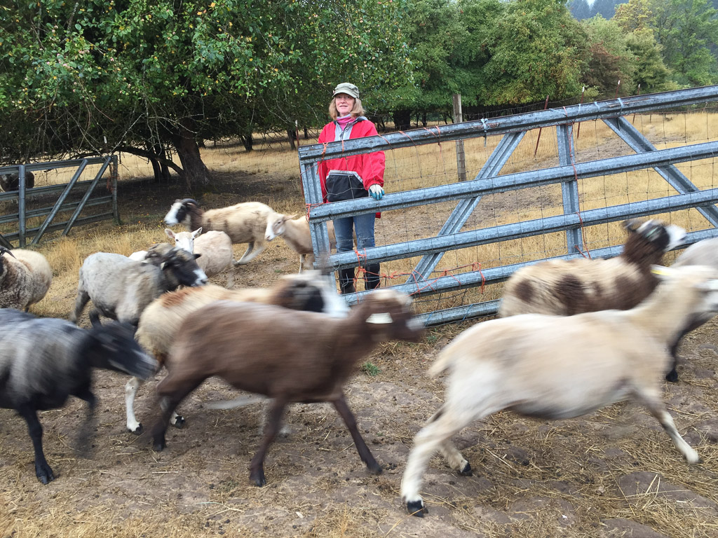 Karen lets the ewes out into the pasture where some of them race to see who will be first to find the pears that may have dropped since the day before.
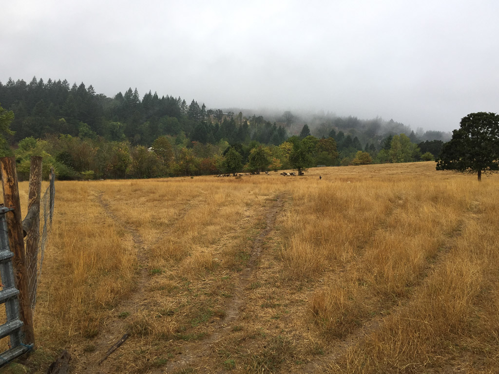 Some sheep stayed behind but this group checked out the pear snack department and then traipsed back to the barn for the morning hay.
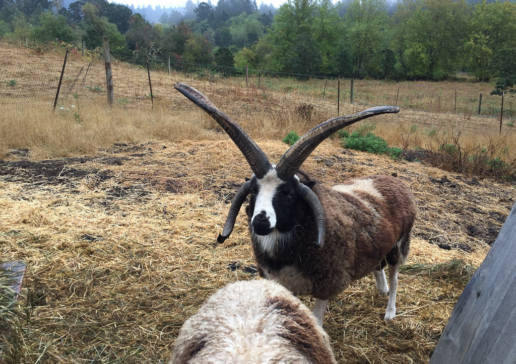 Nearby we met Windy Acres Lightning, who happens to be Buster's sire.
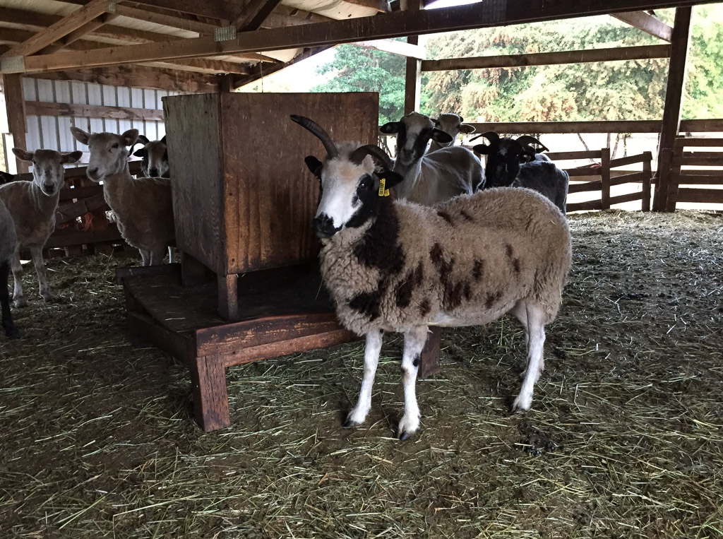 This is inside the barn. There are a couple of Meridian ewes here but I don't think this is one because she has a bideawee ear tag. I like these feeders and think that we should try making some.
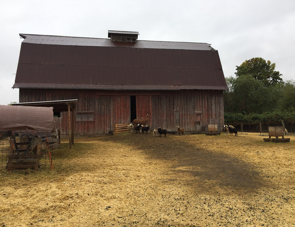 This is another barn on the property. Those are some of the ewe lambs and their guard llama.
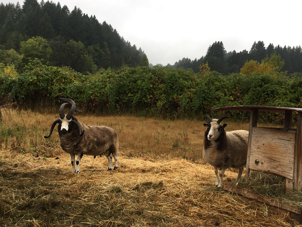 Across the road (the property is split into 4 pieces by the country roads) there are more rams. This is Hunters Glen Roy Rogers and his wether buddy. I sure which that I could get some of these horns like Lightning and Roy Rogers on my sheep.
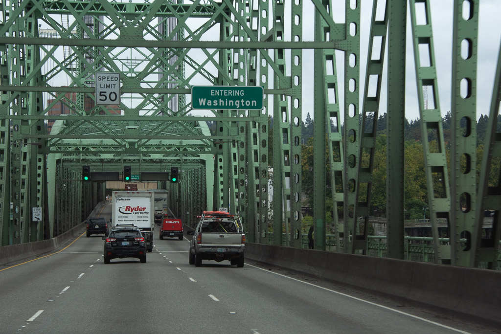 After breakfast we got on the road to our real destination.
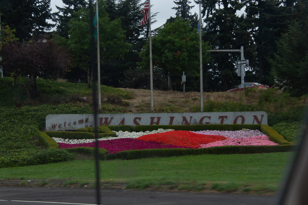 Here is a more welcoming sign along with pretty flowers.
 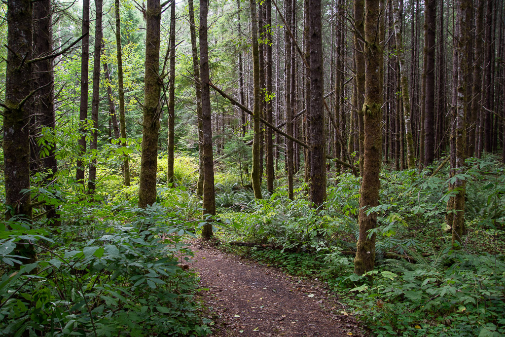 We were headed to Mt. St. Helens National Volcanic Monument for our first stop. We followed State Route 504 along the Toutle River and stopped before entering the NVM at this site where the sign said Sediment Retention Structure. We followed a trail through the beautiful woods.
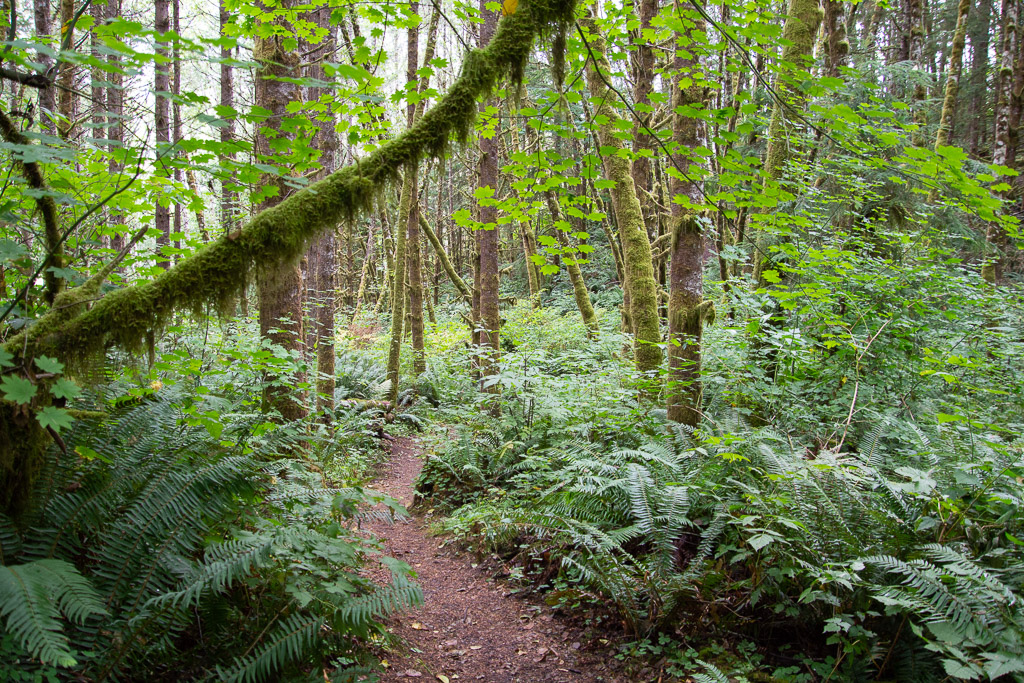
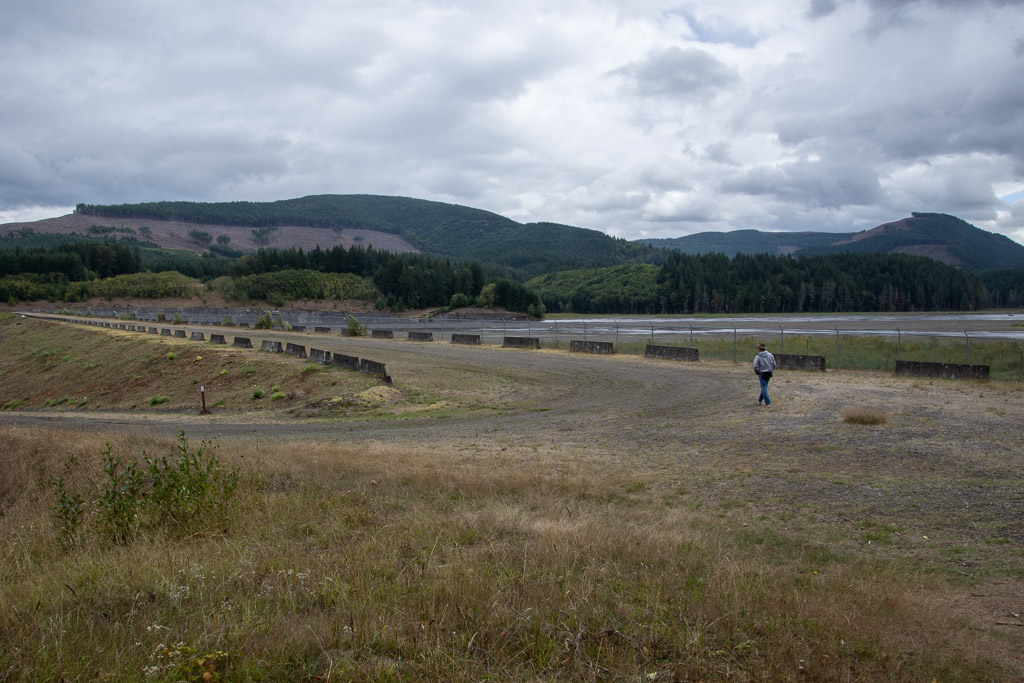 After a short walk we reached the dam. A sign told us: "As the North Fork Toutle River re-formed and carved new channels in the deposits [after the eruption in 1980], it became one of the world's most sediment-laden rivers. The U.S. Army Corp of Engineers build the Sediment Retention Structure to trap sediments before they are carried further downstream. Sediment clogs river channels, worsening floods, and degrades water quality and aquatic habitat." It is hard to tell the scale from my photos but this is a massive structure.
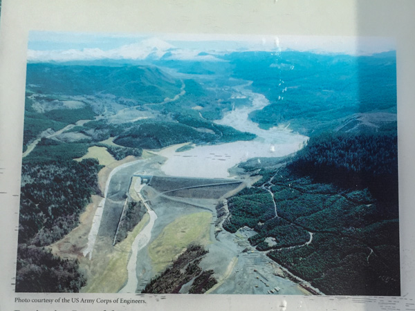 Here is an aerial view on the sign.
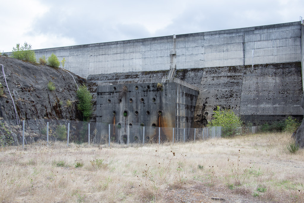 This part of the structure is on the aerial photo but is the "little" part at the left end of the horizontal part of the retention structure and to the right of the spillway.
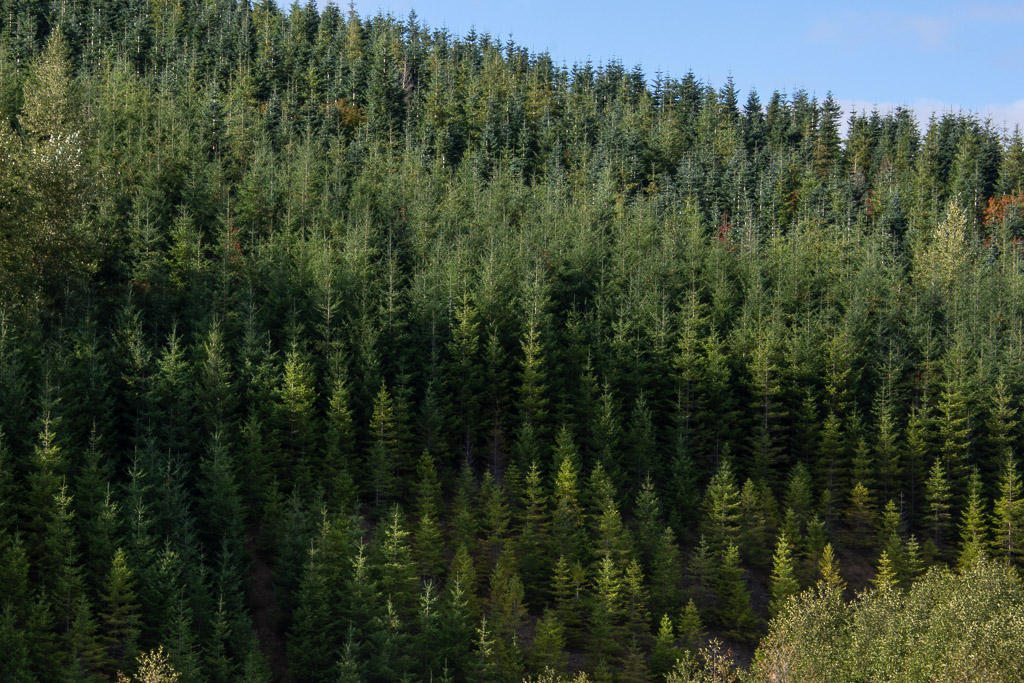 We continued on to the NVM. There are plenty of interpretive sites before you get there, some put out by the state and some by Weyerhaeuser. From their site: "Weyerhaeuser Company began more than 100 years ago with 900,000 acres of timberland, three employees and a small office in Tacoma, Washington. Founded in 1900 by Frederick Weyerhaeuser, we’ve grown to become one of the largest sustainable forest products companies in the world." I was interested in the divergent viewpoints about the response to the destruction caused by the 1980 eruption. Weyerhaeuser began to reforest as soon as they could, planting millions of seedlings. Their sign shows a contrast between their now almost 40-year-old forests and the vegetation across the boundary where the response was to let nature take its course. Both arguments are convincing and I am not bashing a giant lumber company. After all I live in a wood house. The film that we saw in the Mt. St. Helens NVM Visitor Center, however, describes how quickly the communities begin to recover, starting with gophers, of all things, that survived in their burrows under ash-covered areas and moved soil and seeds to the surface. The film points out that the communities are now at their most diverse and as the natural sequence of forestation continues there will eventually be less diversity as one sees in a mature forest.
I took the photo above because I wanted to share the scene as we traveled through this particular part of the forest. I think these are noble firs and you can sort of tell what I was trying to portray here. It was almost like you couldn't focus on them. The right angle nature of the branches gives the effect of horizontal lines throughout. It was striking as we drove through.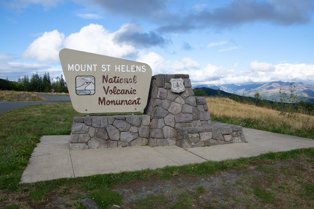 It isn't possible to see all of the NVM in one day. No road goes all the way through and it is a lot of driving to get to other entrances. We chose this northwest entrance and realize that we'll have to come back some day.
 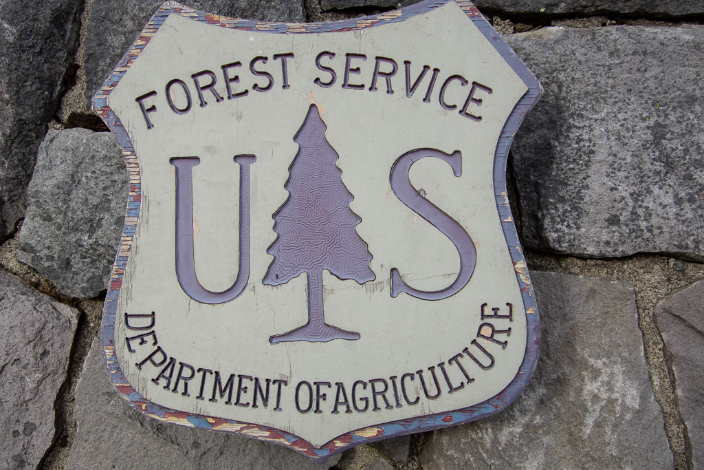 I liked this closeup of the USFS sign--see the detail in the tree? Someone had to think of that.
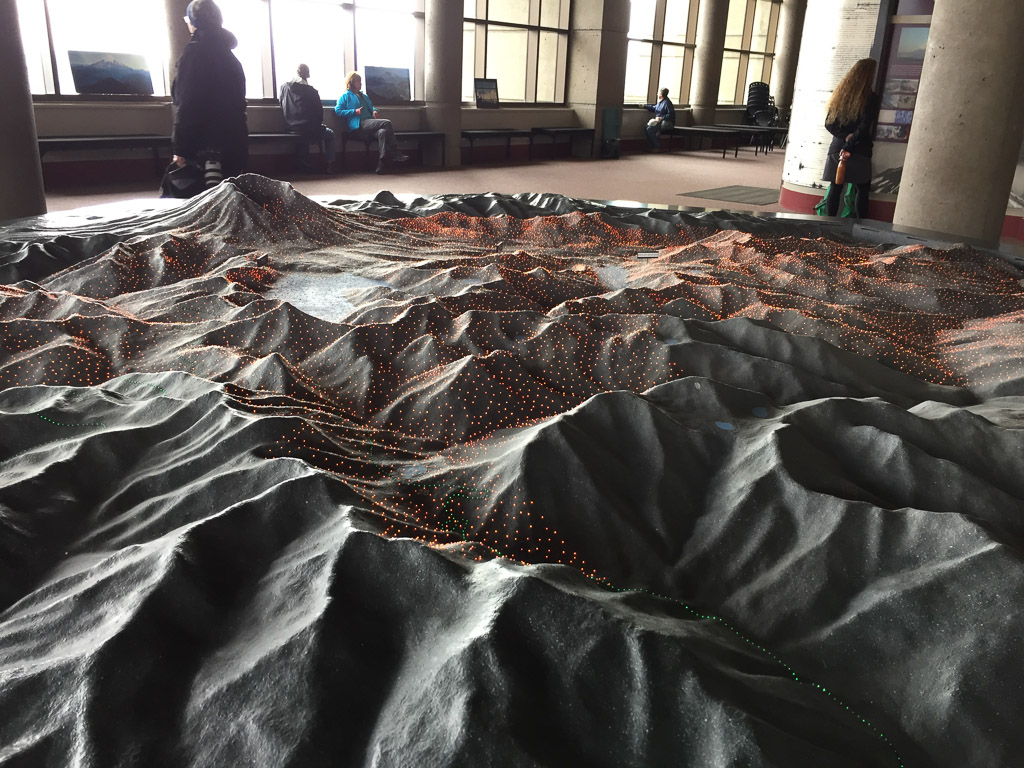 We started at the Visitors' Center called Johnston Ridge Observatory. Here is a model of the terrain and as the story is told different color lights come on to show lava flows, ash deposition, etc.
 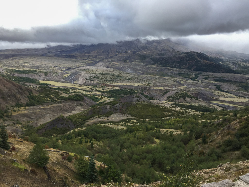 View of the mountain. We never got a clear look at it because of the clouds. It is amazing to think that the whole area in this photo was impacted by the blast and that everything in the middle part of the photo is deposits from the volcano.
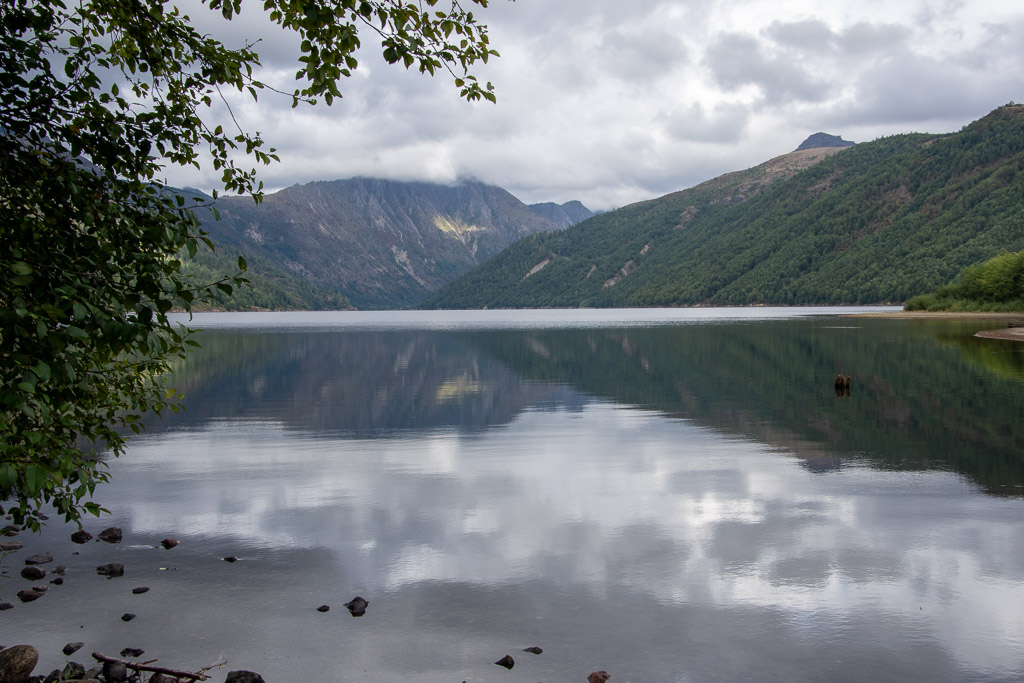 Coldwater Lake was formed when volcanic debris blocked Coldwater Creek.
 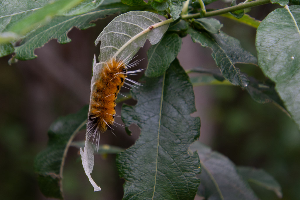 A wildlife shot!
 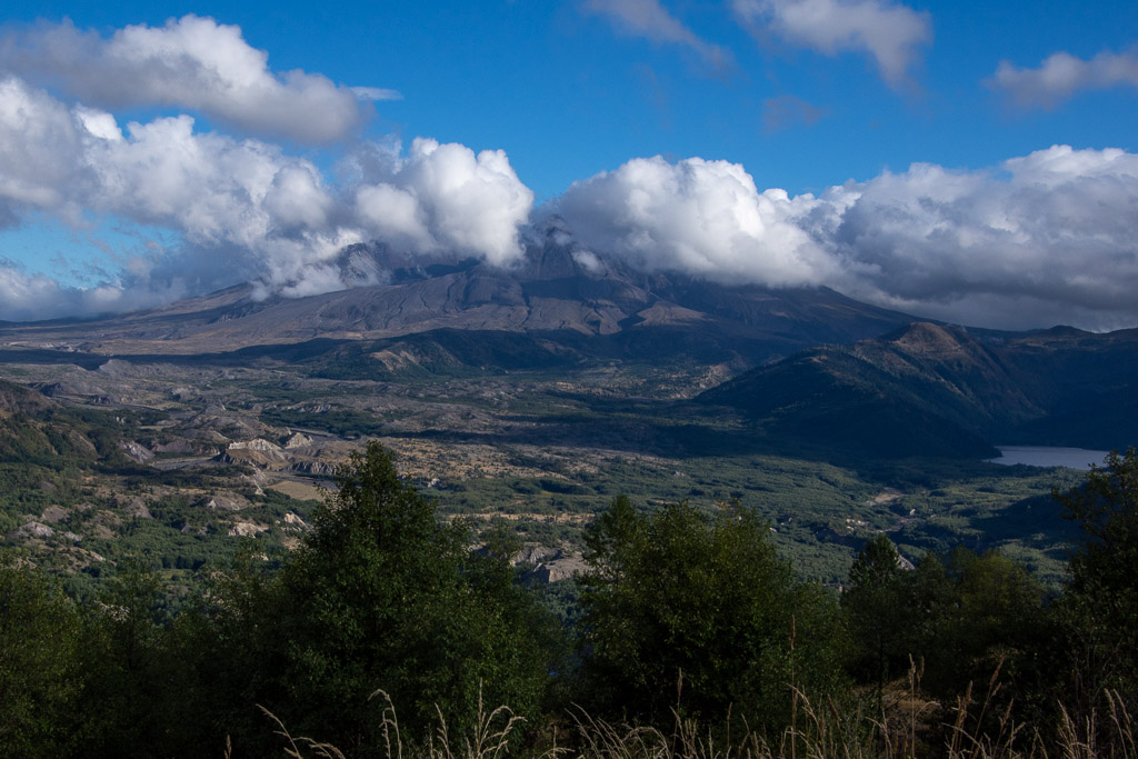 We stopped at an overlook before leaving the area and watched as the clouds moved past the mountain. The eruption of Mt. St. Helens was mostly from the side and it created a valley that faces mostly north (the cloud filled part on the left of the photo).
 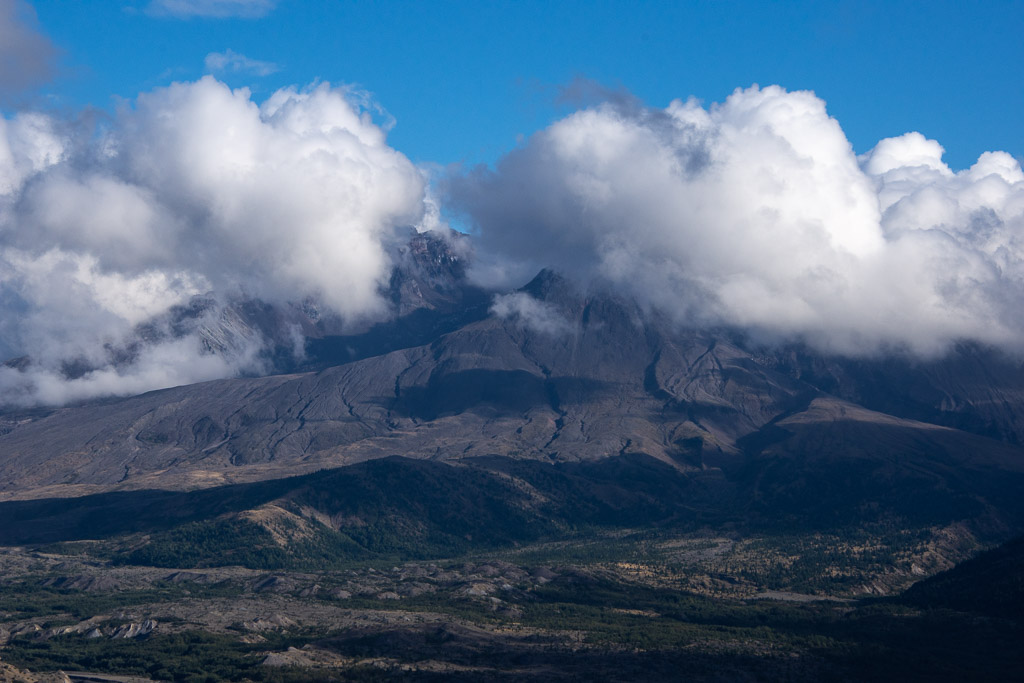 We caught a few views of what is left of the mountain.
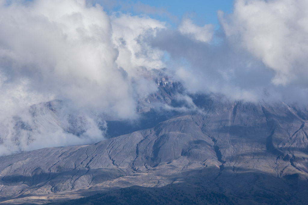 This definitely warrants a return trip.
We headed north for our next destination and found a place to camp but it was almost dark and I guess I didn't get any photos there. Stay tuned!
