Road Trip to Washington - Day 1
/Our deadlines of the summer were over. We finished (almost) our kitchen renovation. The house was clean (at least the part we had been working on). I had delivered sheep to the butcher and had people lined up for chores. I set up the pasture fences to make managing the ewes as easy as possible. I even made a barricade so that the ewes wouldn't be near the rams because I didn't want to risk the rams bashing the fence and each other. We packed as if we were going on safari. We hadn't been out of shorts and t-shirts for months and now we were going to the North where it is said to be Cold and Wet. Better grab another pair of pants, another sweatshirt, rain-pants. Oh, you're bringing two pillows? Then I'll bring two pillows...and a yoga mat and my sheepskin for under my sleeping bag.
We got away on Tuesday, September 11 at 10 a.m., only about an hour behind schedule. 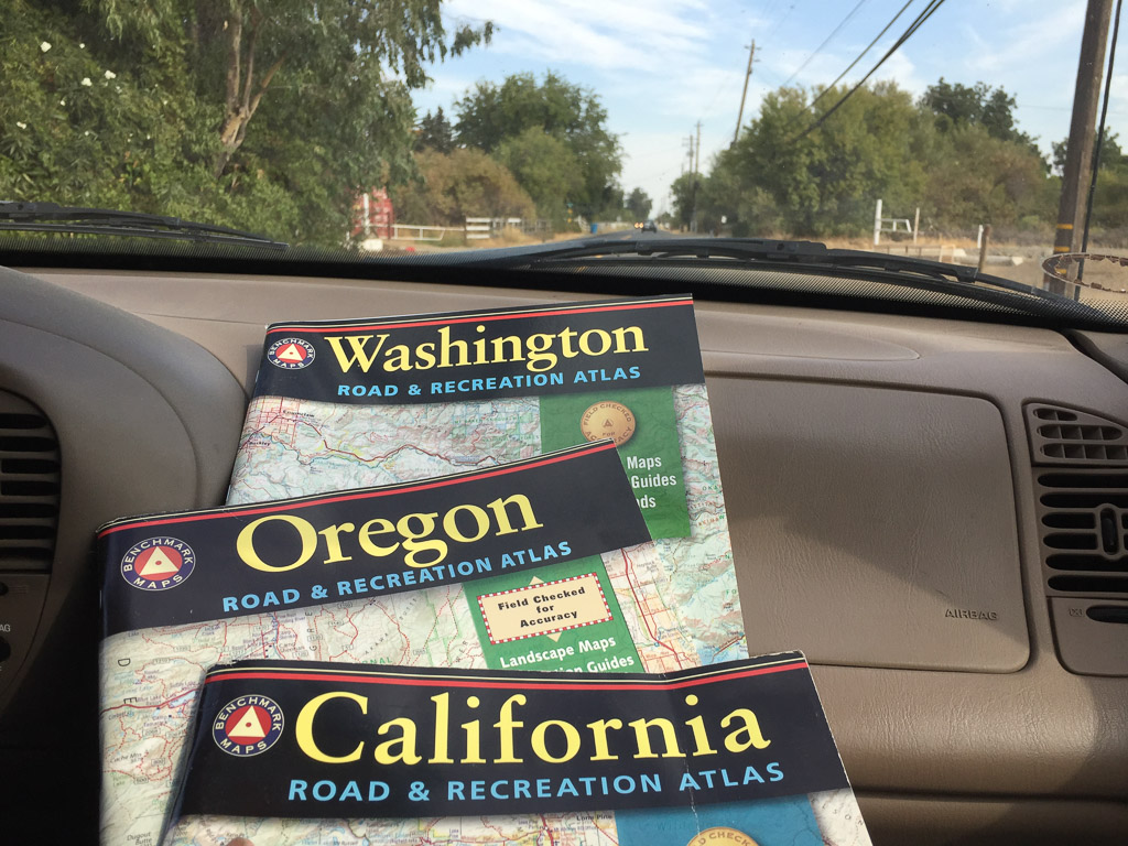 Here we go!
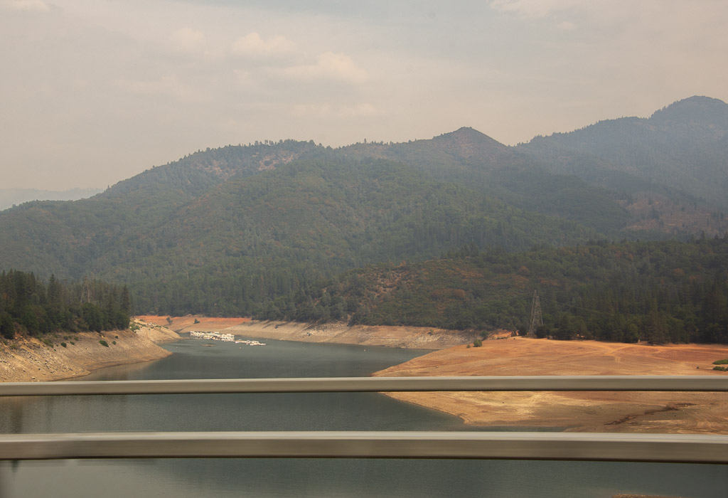 All of these photos are "drive-by", taken with my camera or my phone while in a moving car. They are hazy and the sky is ugly. But that's how it looked as we drove up the valley. We have been living for most of the summer with smoke-filled skies. Now we were smelling smoke too. This is Shasta Lake and it is evident how low the water level is. A reservoir can be an ugly place when the water is low (in my opinion).
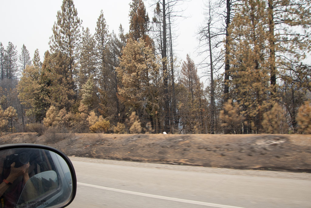 We began to see signs of the Carr Fire which had caused the closure of I-5 in both directions for 5 or 6 days just the week before we left.
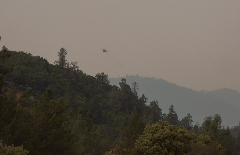 One of my son's manages a USFS helicopter and his crew was on this fire, but that wasn't the his helicopter.
 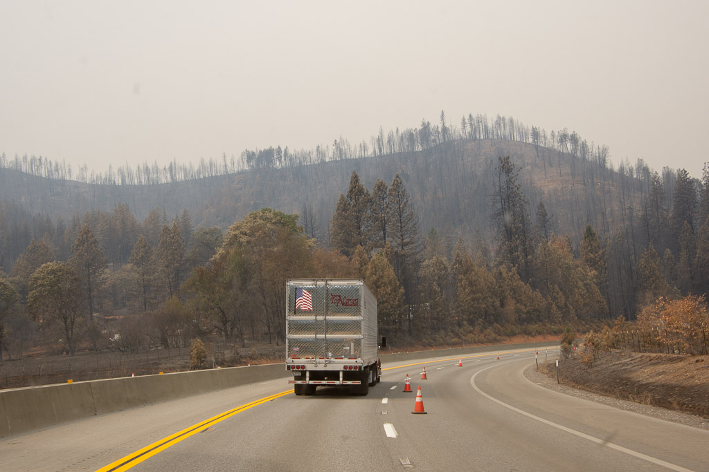 The fire had burned right up to the road and had actually burned vehicles that couldn't get away in time.
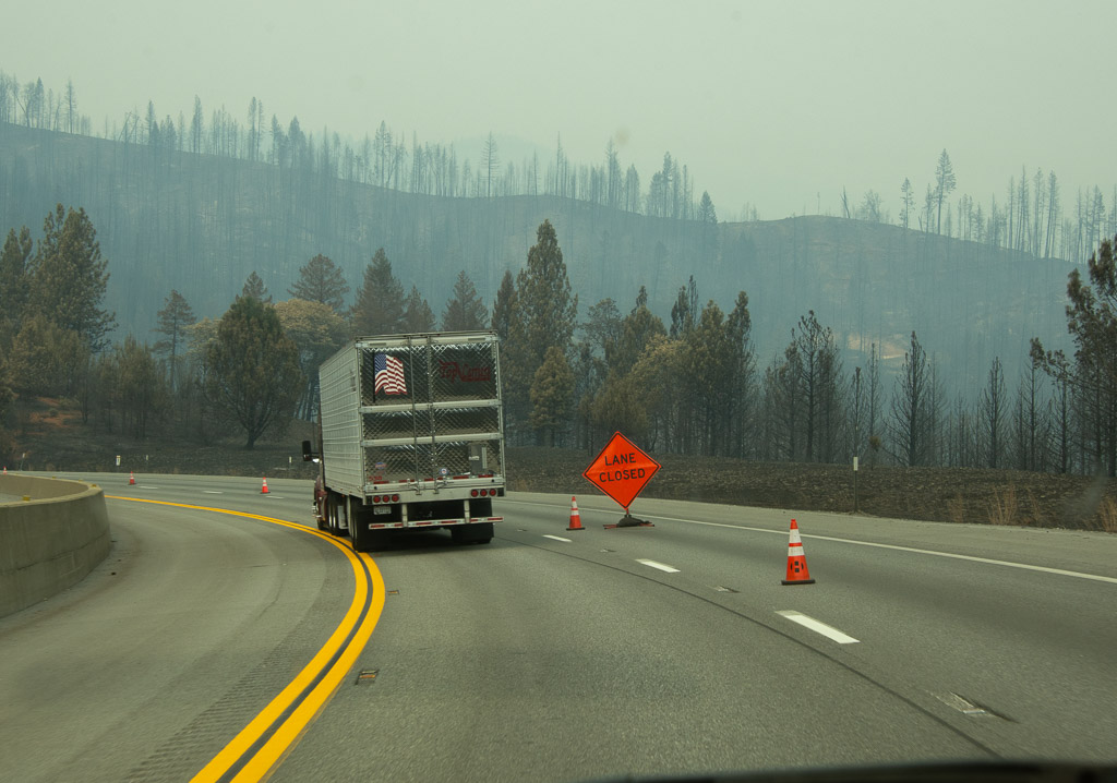
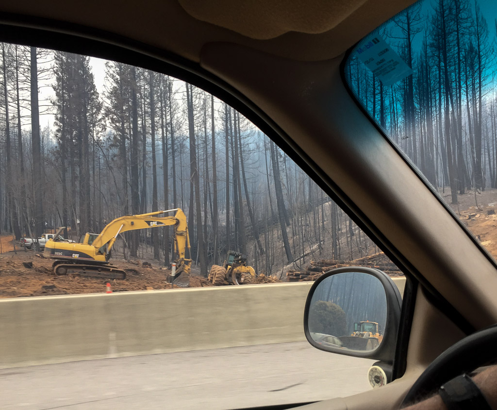 Trees that are near the highway are being removed for miles.
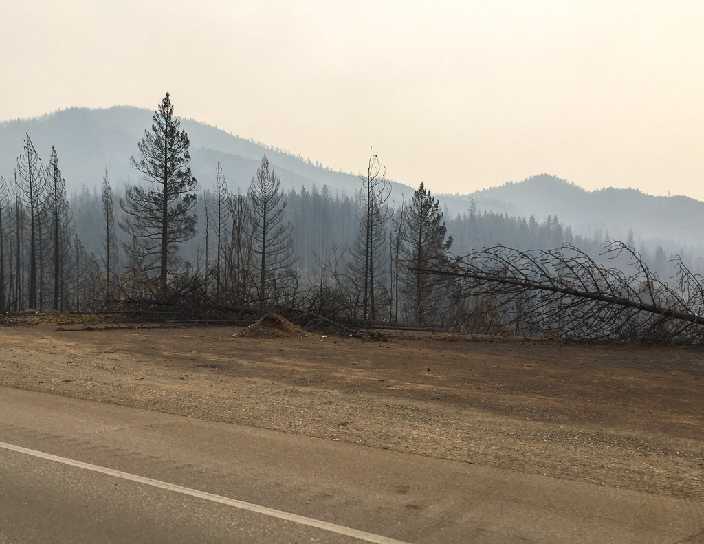
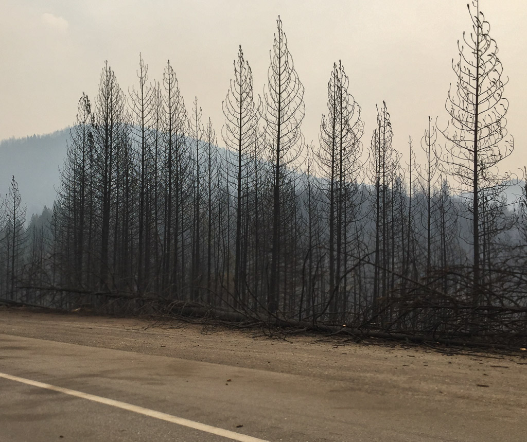
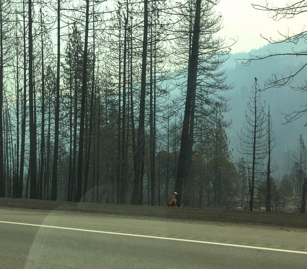 And it's not over yet!
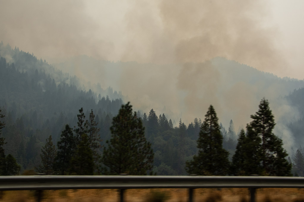 There were active smokes along several miles.
 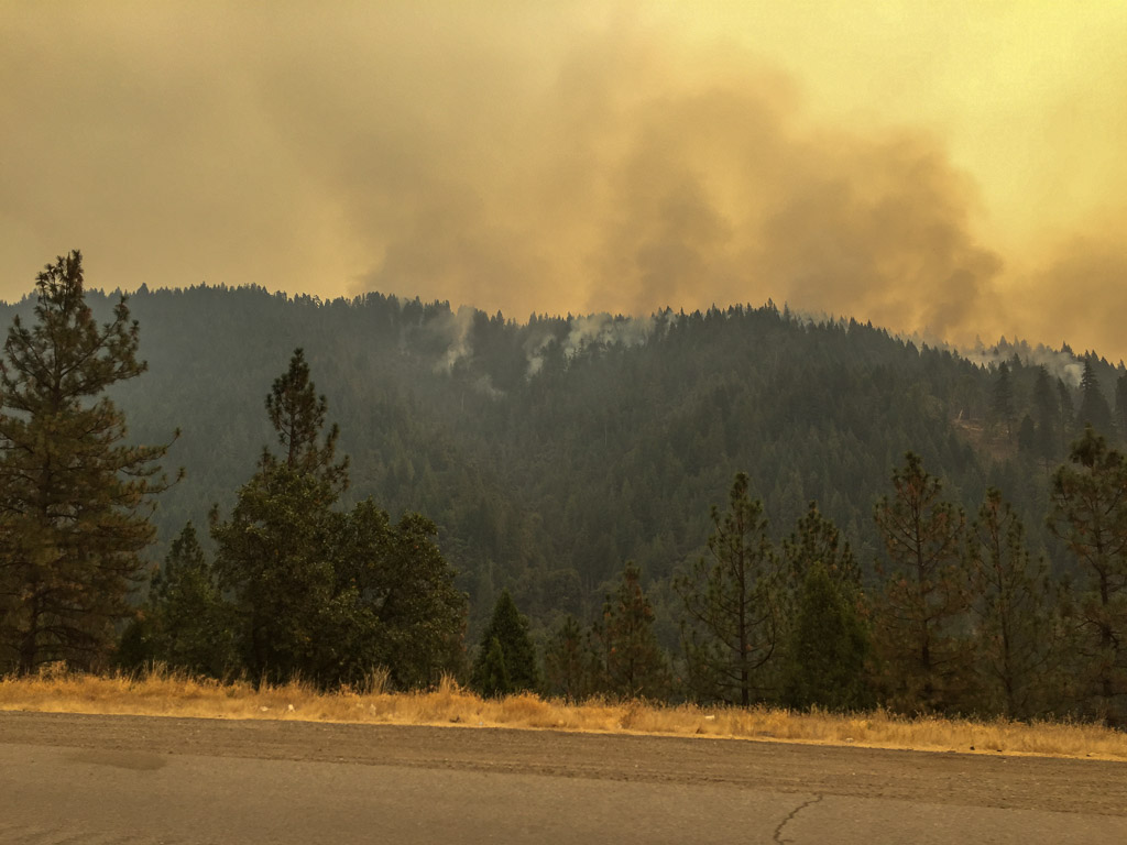 My two sons and a daughter-in-law all fight wildland forest fires. This is a scary year.
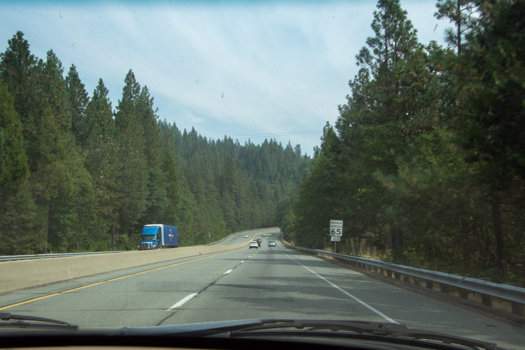 As we drove further north the skies cleared and the forest again hugged the sides of the freeway.
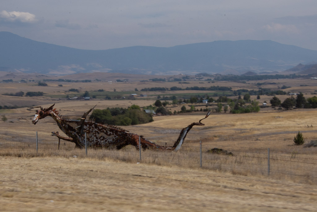 This isn't a great photo, but I am usually driving when I see this dragon.There is a metal cow and calf a few miles back that missed. But I got at least one photo of the dragon.
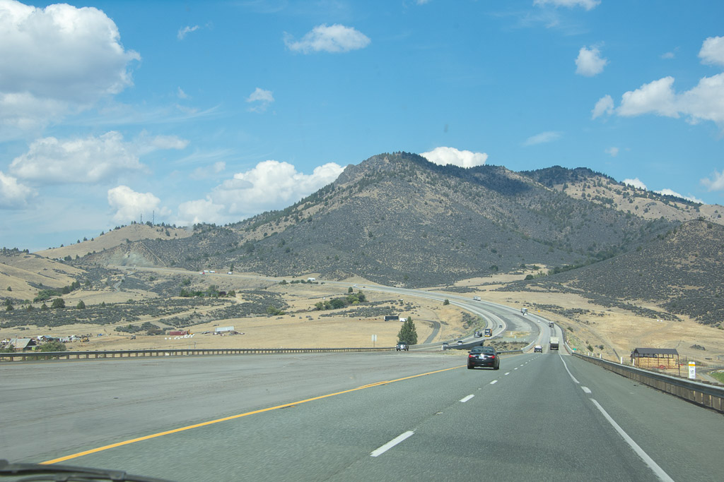 Heading to the Shasta Valley in northern California.
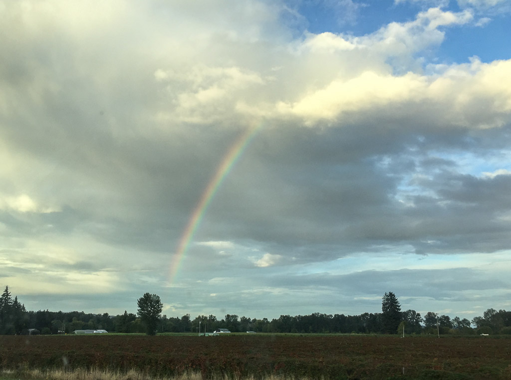 Somewhere in Oregon. It seems like a long time since we've had rain here.
It was dusk as we got to our destination for the night in northern Oregon. More about that in the next post.
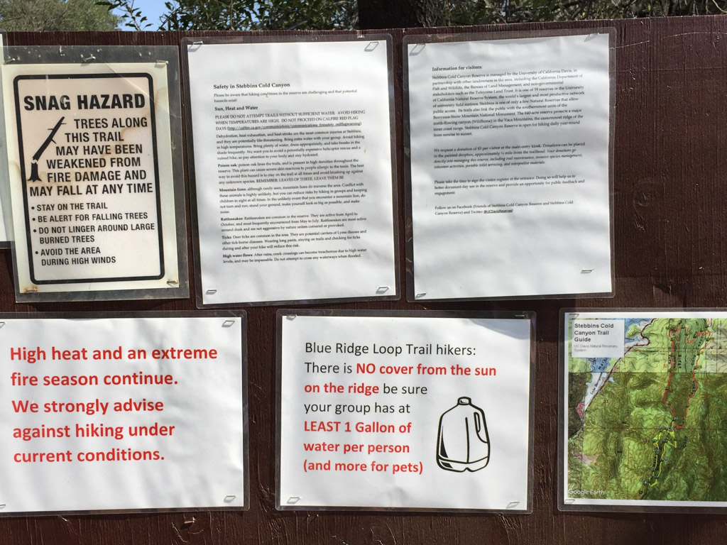 Falling trees, high heat, fires, snakes, poison oak, ticks, mountain lions, high water (that would be a different season). Maybe we should just go back home to the couch.
 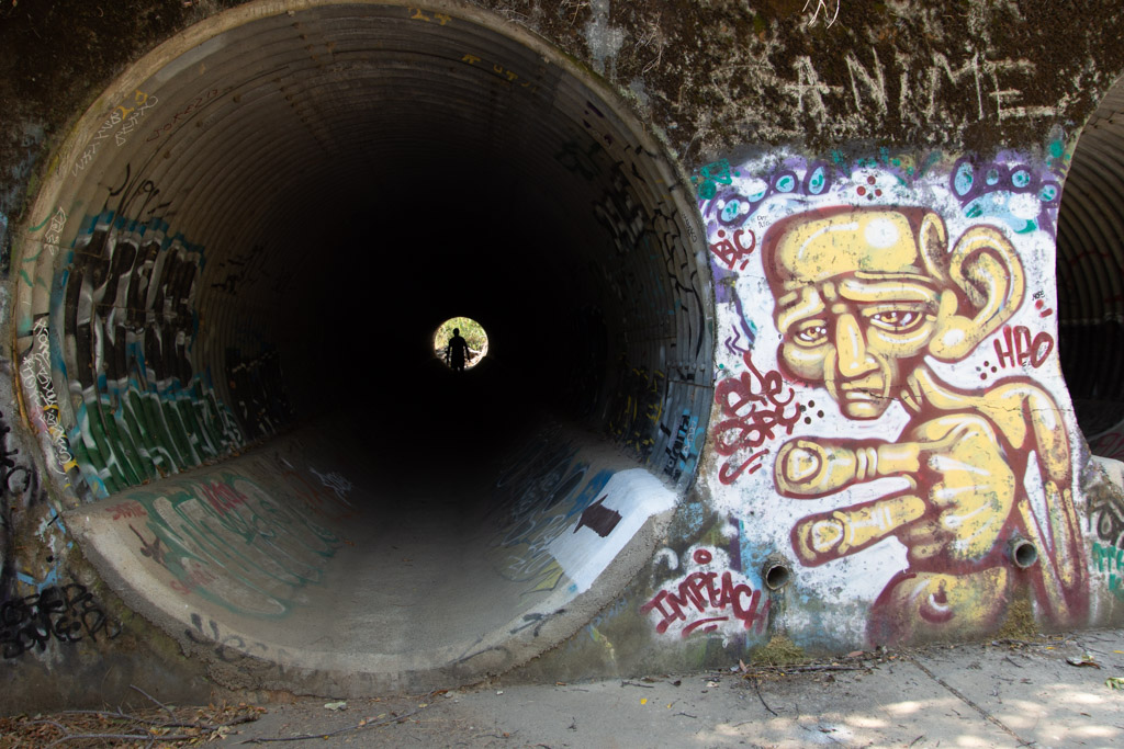 After the 2015 fire the area was rebuilt to accommodate needed parking. Now we park below the Reserve instead of on the side of the road and walk under the road through these huge culverts. This is also where storm water will go in the winter. What's with the graffiti? I am not a fan.
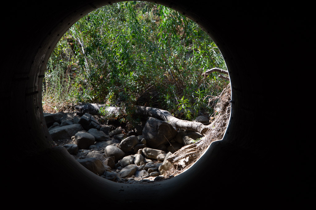 Leaving the culvert.
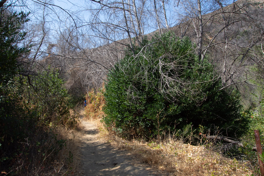 We headed out on the Blue Ridge trail, a five mile round trip. This is three years after the fire. That bush on the right is a CA Bay Laurel growing from the base of the burned tree (it can take on the form of a bush or tree).
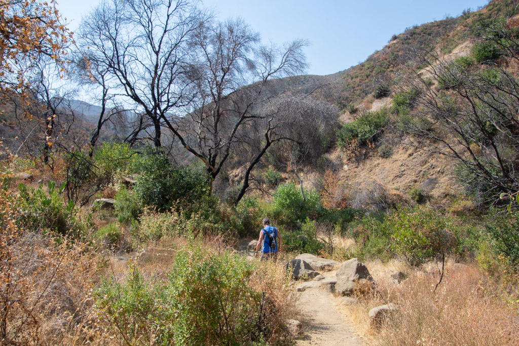
 Our first hazard, poison oak.
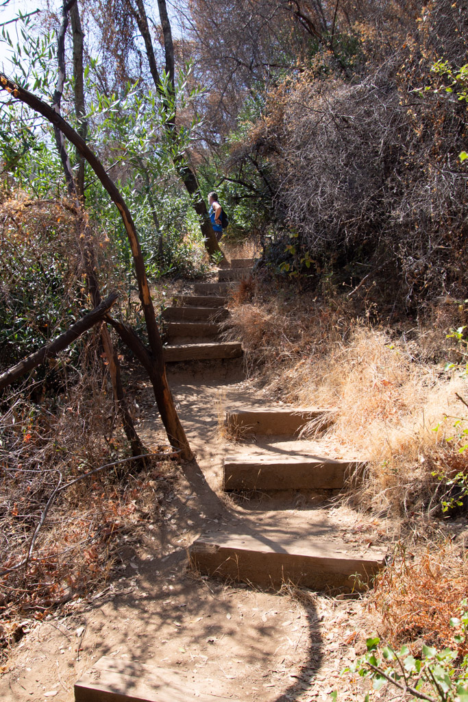 Maybe the next time I go hiking here I'll count the steps. The trail starts in the canyon and eventually you have to get to the top of the ridge. There may be a million stairs--at least it seems that way when you are half way up.
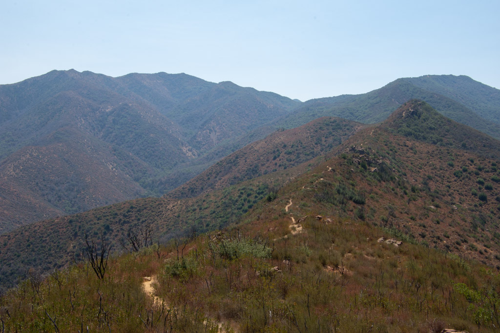
 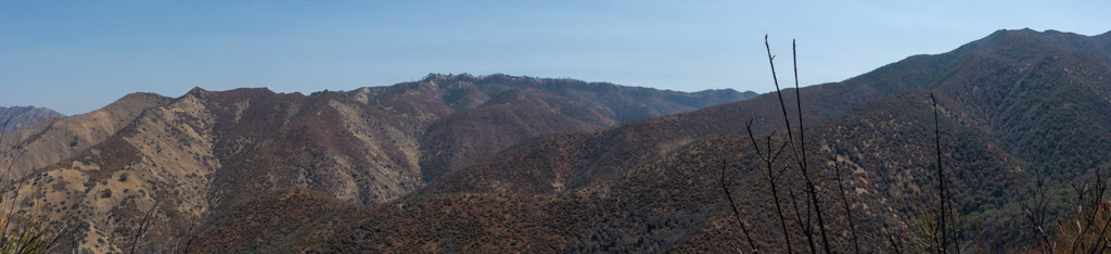 Taking scenic photos is a good excuse to stop. This is a panorama looking southeast.
 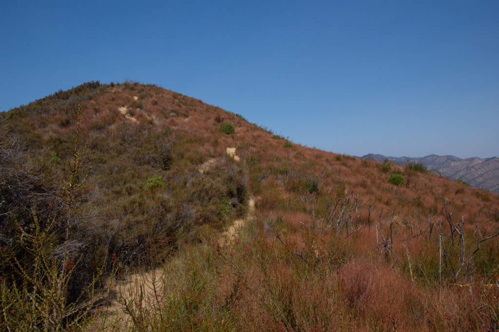 Our trail continued to the ridgeline. This is the bluest sky that I've seen since the fires started in June. We're up above the smoke and haze here.
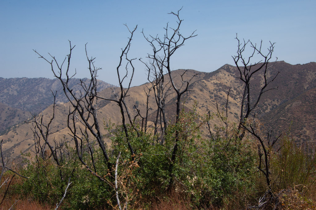
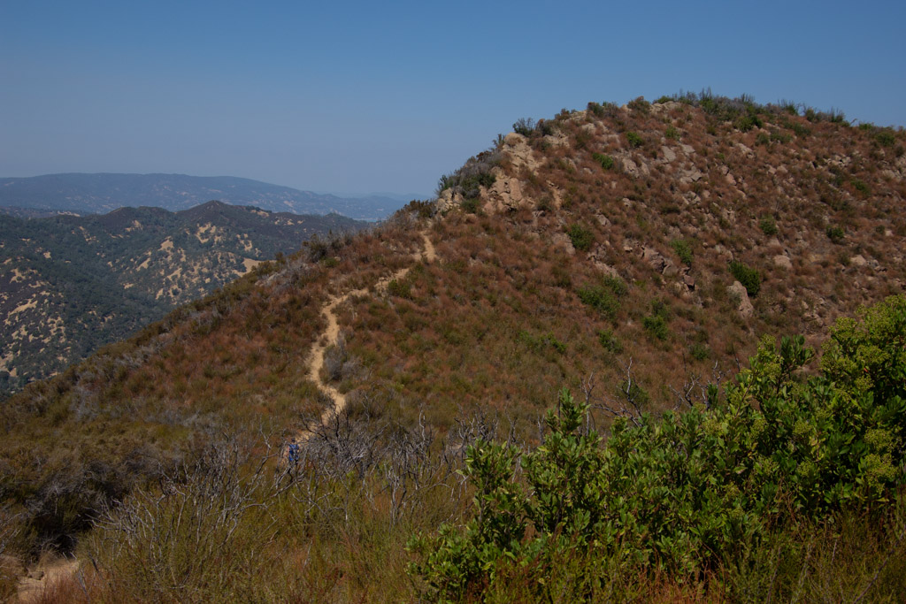
 View to the east. That little line on the ridge is our trail.
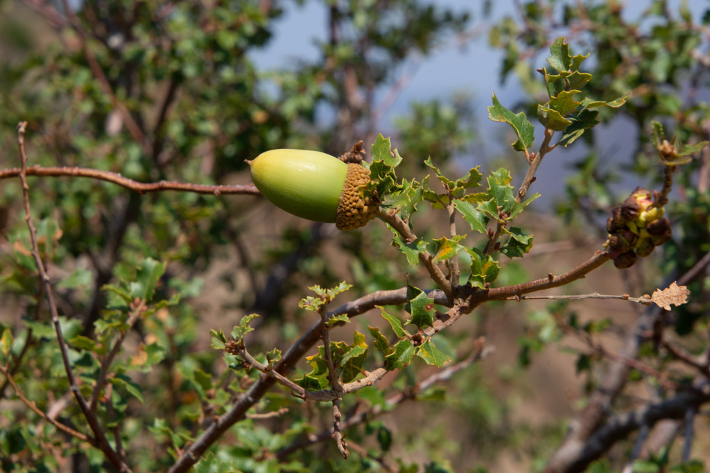
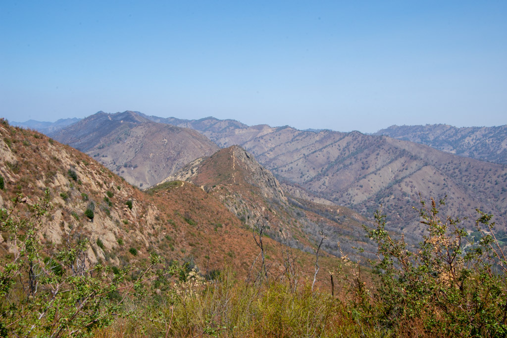
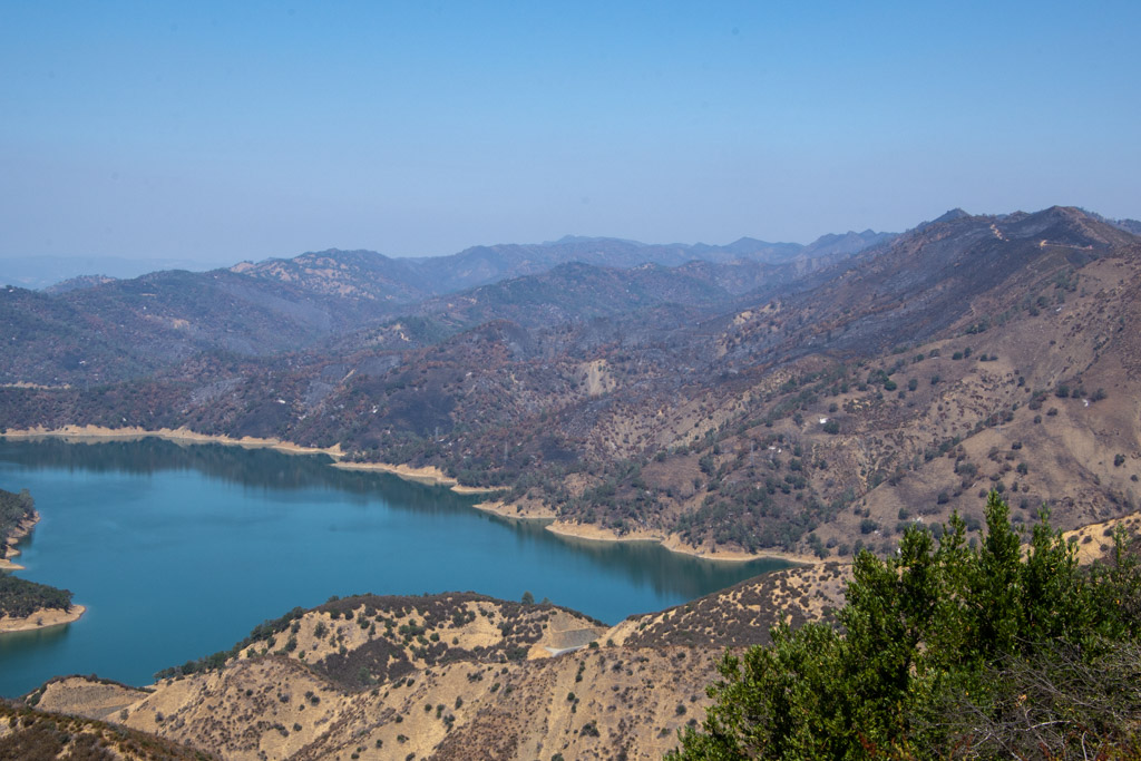 From the top you can look down to Lake Berryessa. Except for the foreground most of the land was burned this summer.
 More of the trail. Keep walking.
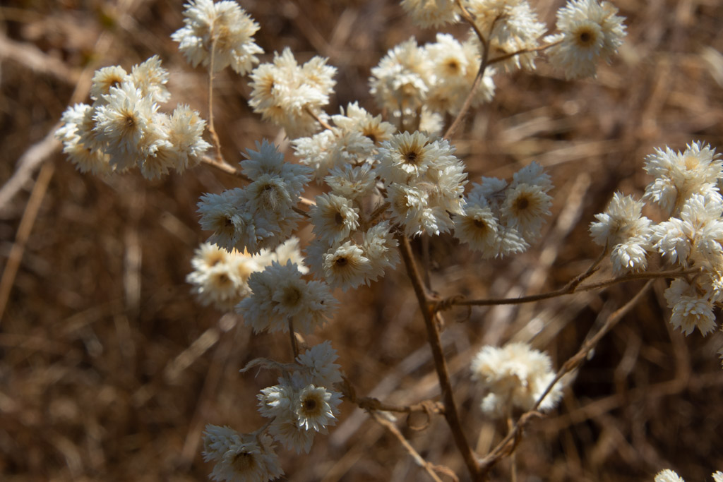 California Cudweed.
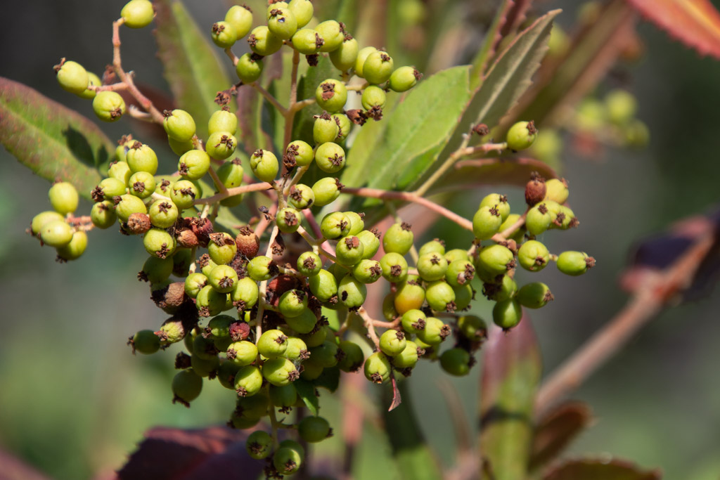 Toyon berries.
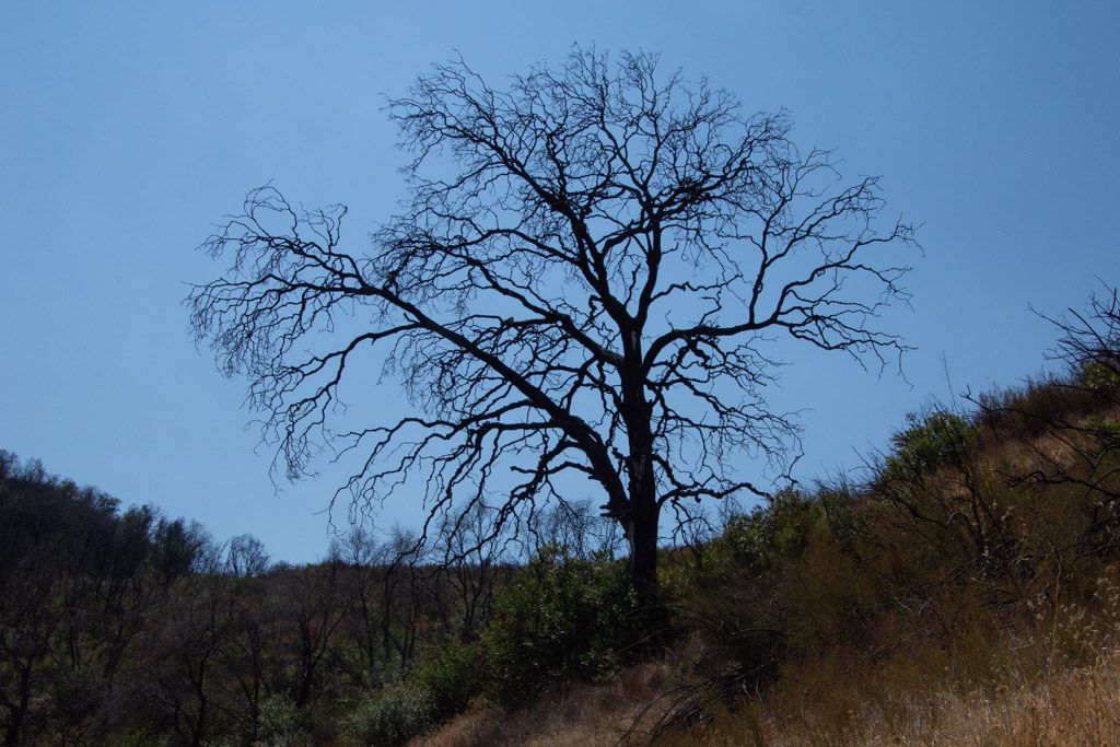 Burned oak.
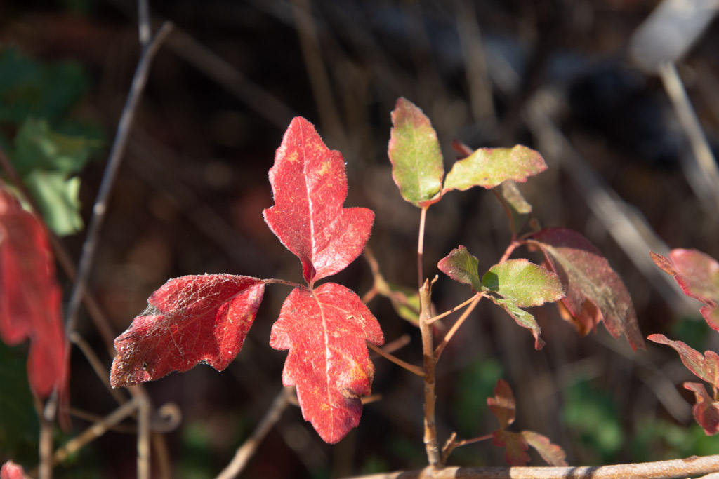
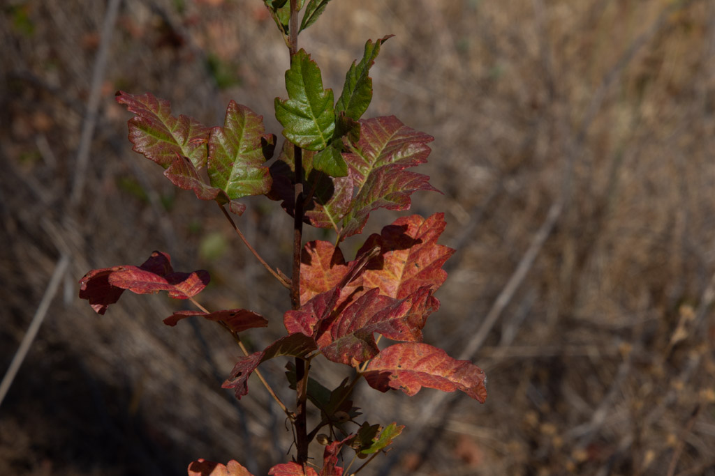 Fall colors (more poison oak).