Road Trip to Washington - Day 6
/Cape Disappointment: 'The first known documentation of the site was in 1775 by Spanish explorer Bruno Heceta, who named it “Bahia de La Asuncion,” or Bay of the Assumption. Then in 1788, British trader John Meares named it “Cape Disappointment” when he mistakenly believed that the mouth of the Columbia River was only a bay. " (from the Park Service)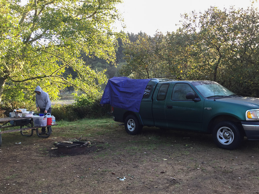 Yesterday's blog left off at Cape Disappointment State Park. Here is the campsite the next morning.
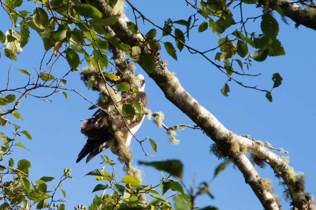 There is a small lake just behind the campsite and in the morning I heard this osprey. I watched quite awhile trying to get a better photo. Eventually he (she) spotted fish and I watched him dive three times, always coming back to watch from this tree. I was surprised at his loud splashdown.
 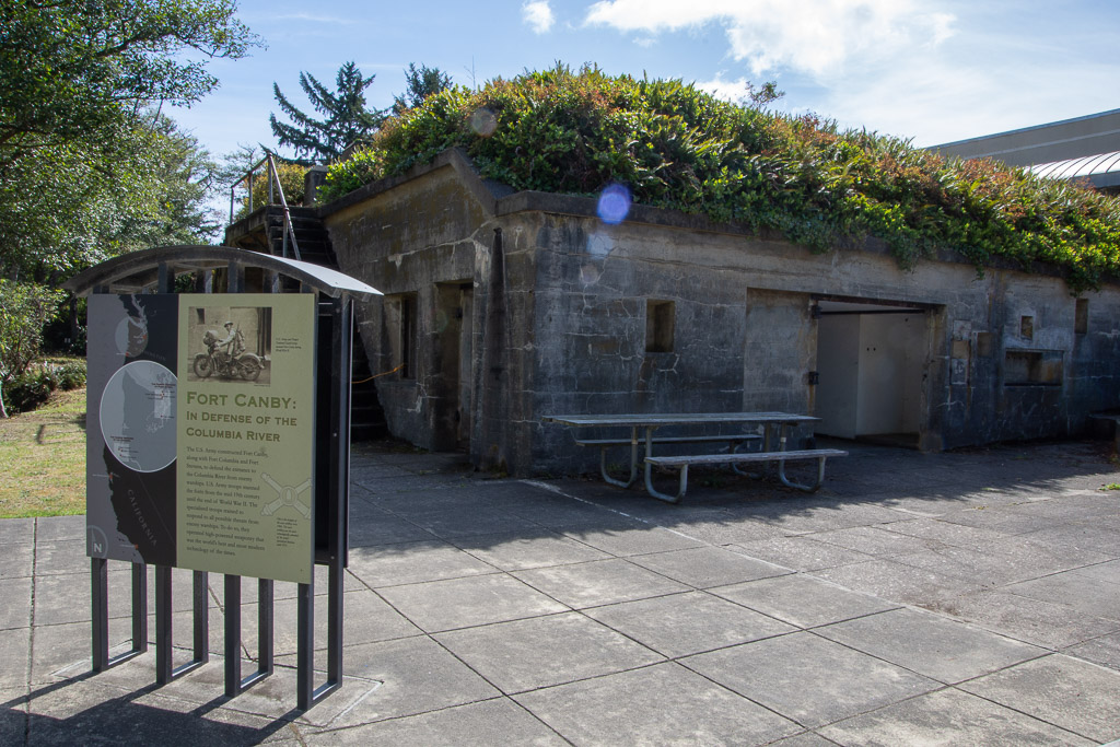 We drove over to the Interpretive Center of the Park. Outside the Lewis & Clark Center is the old Fort Canby, built to defend the entrance to the Columbia River and manned by U.S. Army troops from the mid-19th century through the end of WWII.
 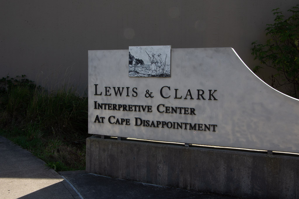 We spent a couple of hours here and I highly recommend it. Dan had recently read a book about Lewis & Clark so the details of their story was fresh in his mind. I didn't take photos inside except for this that reminds me of something that looks like it might belong in a weaving studio:
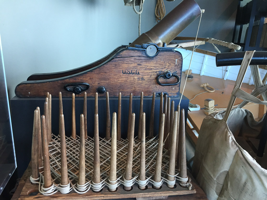 This is a faking box and the thing behind it is a Lyle gun. The sign says "Propelled by a black powder charge the gun propelled a rescue line (hawser) to troubled vessels...The spiked posts were used to wind a rescue line in a special zig zag pattern to prevent tangling in flight when fired from a Lyle gun." There were also paddles. "These paddles with detailed instructions in English and French were sent by rescue line to shipwreck victims."I think it's interesting that there was a special way of winding the line so that it would not tangle.
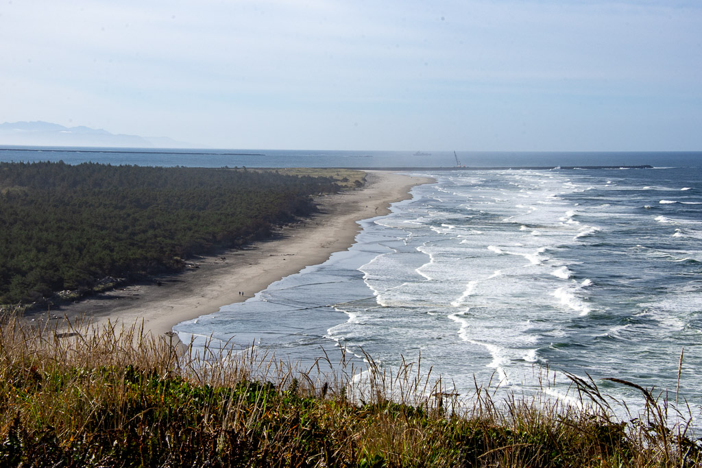 After spending a couple of hours at the Interpretive Center we went to see the second lighthouse in the Park. This view is from the trail to that lighthouse. We are now looking south to the breakwater on the north and can see the one on the south as well. The Columbia River entrance is between the breakwaters.
 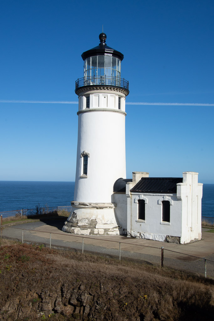 This is North Head Lighthouse, built 42 years after the Cape Disappointment Lighthouse was constructed because there were still too many shipwrecks in this area. It is still in service with an automated beacon. I didn't realize that each lighthouse has a unique pattern of sound and light to aid in navigation, as well as being distinguished by the color and pattern of paint. (This one is under renovation.)
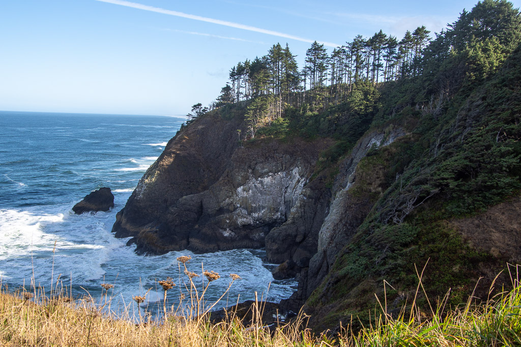 North Head is said to be one of the windiest locations in the U.S. This is the view of the rocky coastline from the north side of the lighthouse.
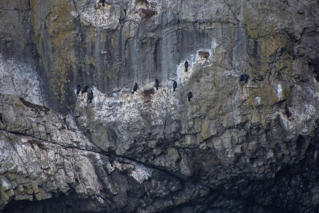 If you look closely at the rocky cliff you see cormorants--somehow gripping the steep rocky wall with amazingly little room to maneuver.
 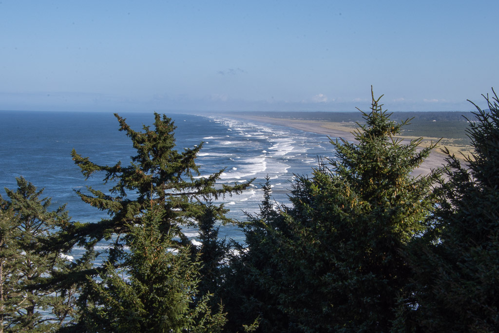 The beach stretches for miles just beyond this rocky point.
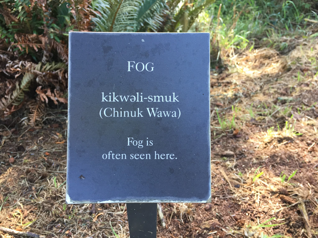 Sign in the forest on the trail that overlooks the beach. The area gets seven feet of rain per year, falling in the fall, winter, and spring. However, during the summer there is fog. Cape Disappointment is one of the foggiest places in the U.S. having 100 days of fog each year.
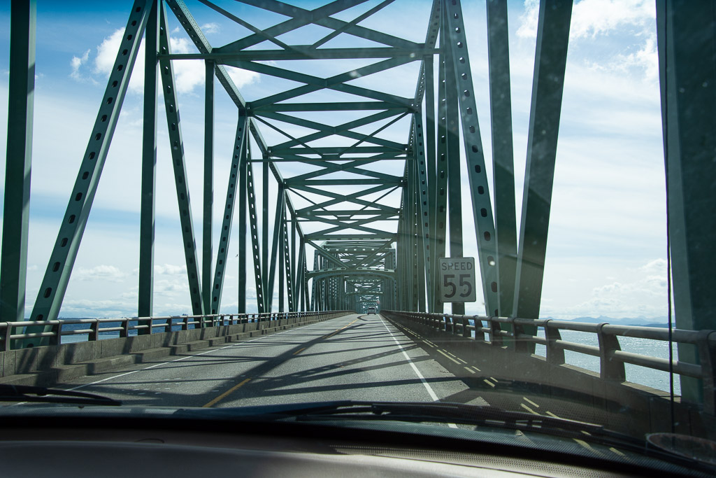 The plan for the day was to get to southern Oregon so that we wouldn't have as long a drive the following day. It was time to get on the road. This is the bridge over the Columbia River.
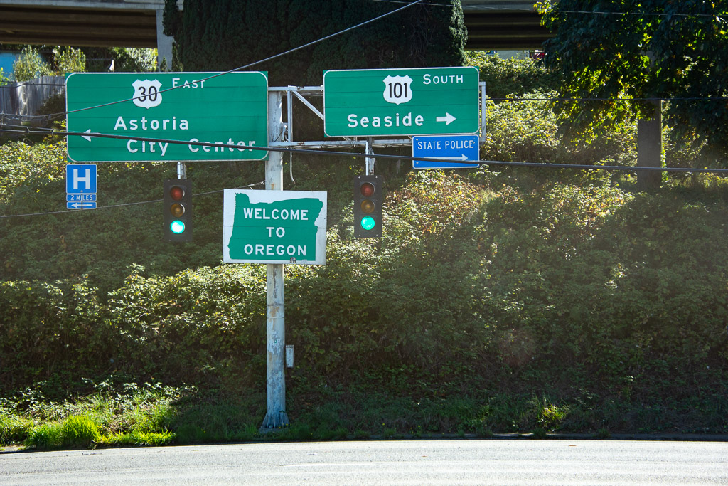 Now to find the another part of the Lewis and Clark story near Astoria.
 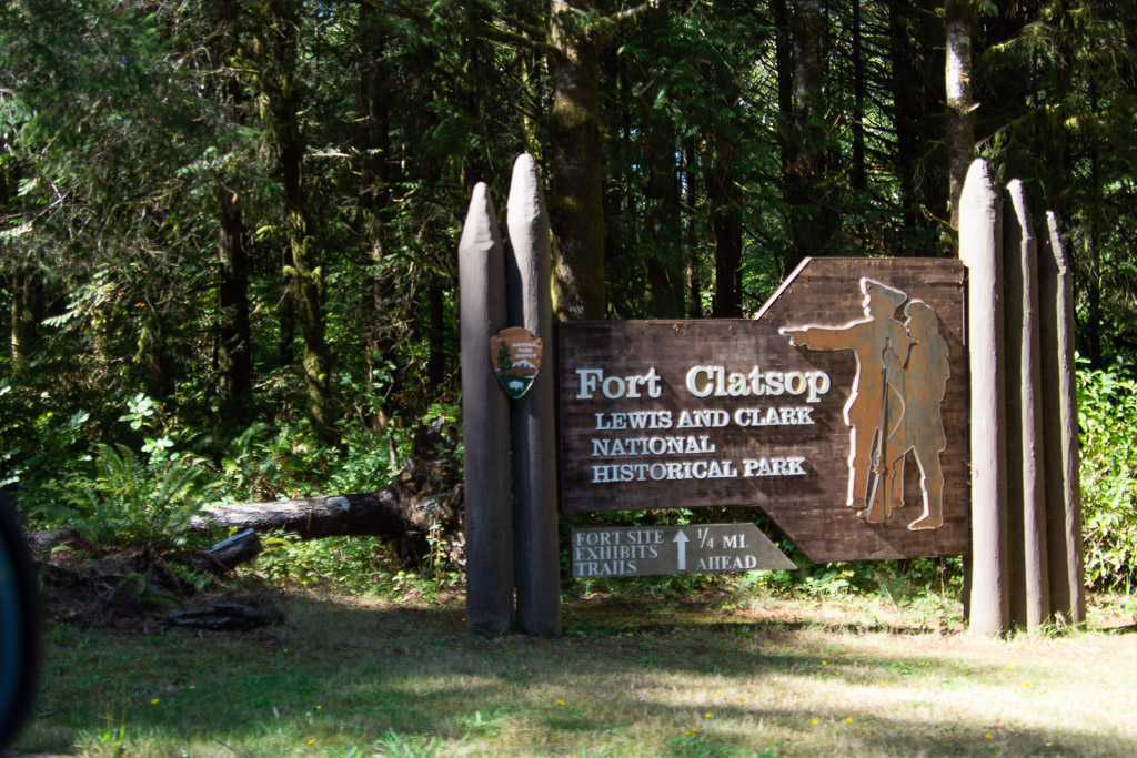 We walked around the Fort and along a trail the followed the river, but we didn't spent a lot of time here, having had such a thorough look at the L&C story that morning.
 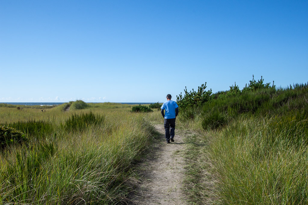 We read about another historic site in the town of Seaside. Before we found the site we walked to the beach.
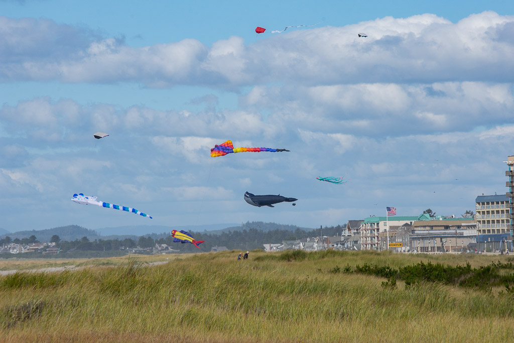 Looking north.
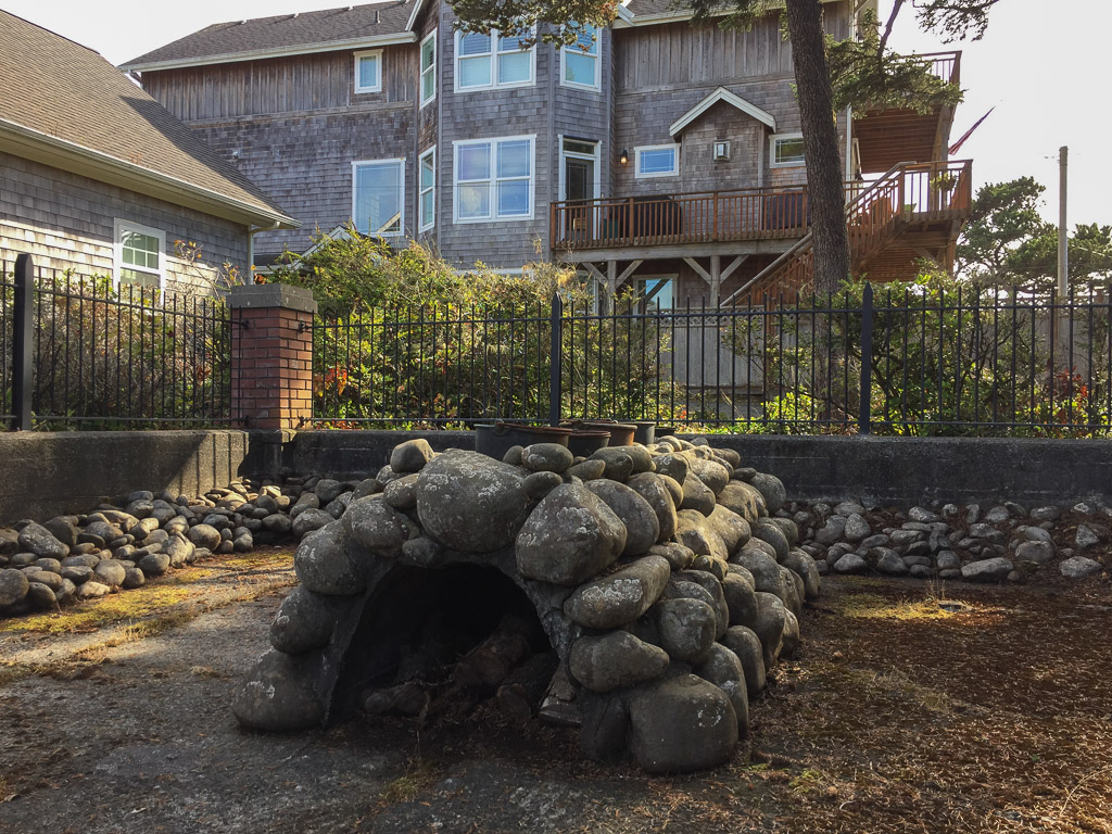 Eventually we found the Lewis & Clark NHP Saltworks, a small fenced area right in the middle of a neighborhood. The expedition had run out of salt and needed more before making the journey home. Three men from the expedition spent six weeks here boiling seawater to secure the salt.
Now we got on the road. I read that the Tillamook Cheese Factory was open to the public and I wanted to stop.
Eventually we found the Lewis & Clark NHP Saltworks, a small fenced area right in the middle of a neighborhood. The expedition had run out of salt and needed more before making the journey home. Three men from the expedition spent six weeks here boiling seawater to secure the salt.
Now we got on the road. I read that the Tillamook Cheese Factory was open to the public and I wanted to stop.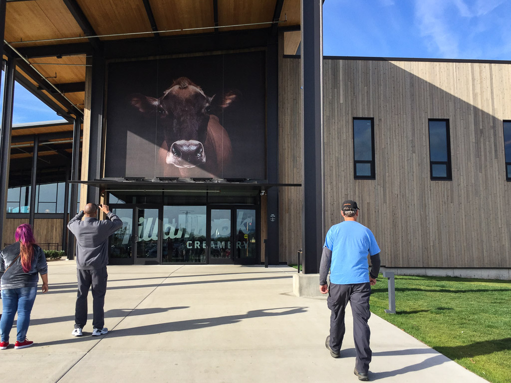 This is an amazing place. It must be just swarming with people during the summer.
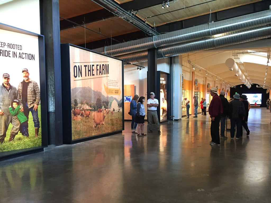 You enter the factory and go upstairs to follow the hoofprints for a self-guided tour.
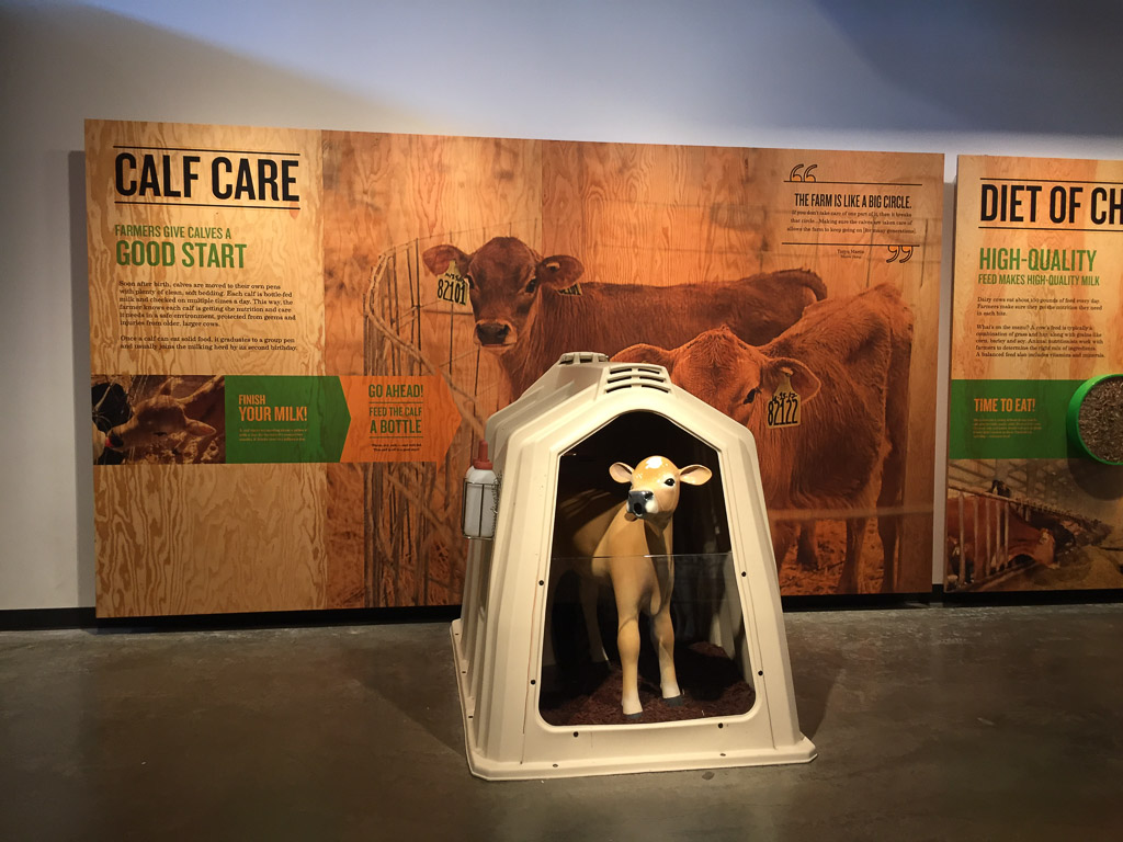
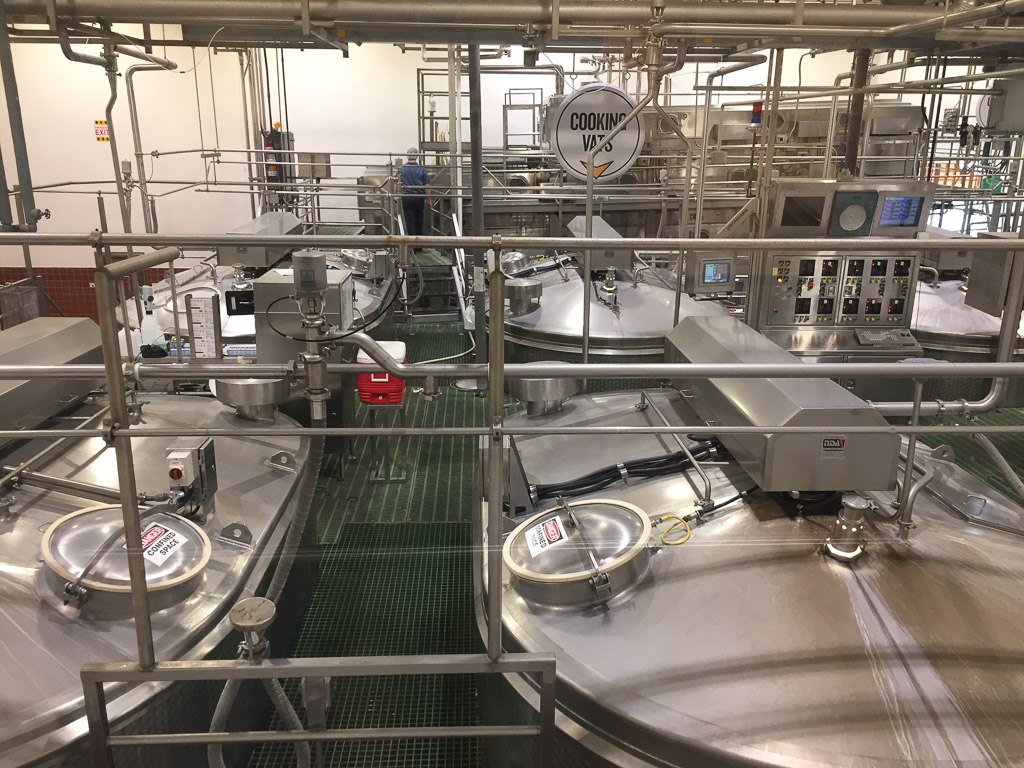
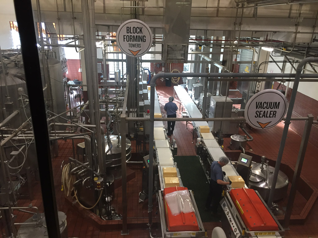
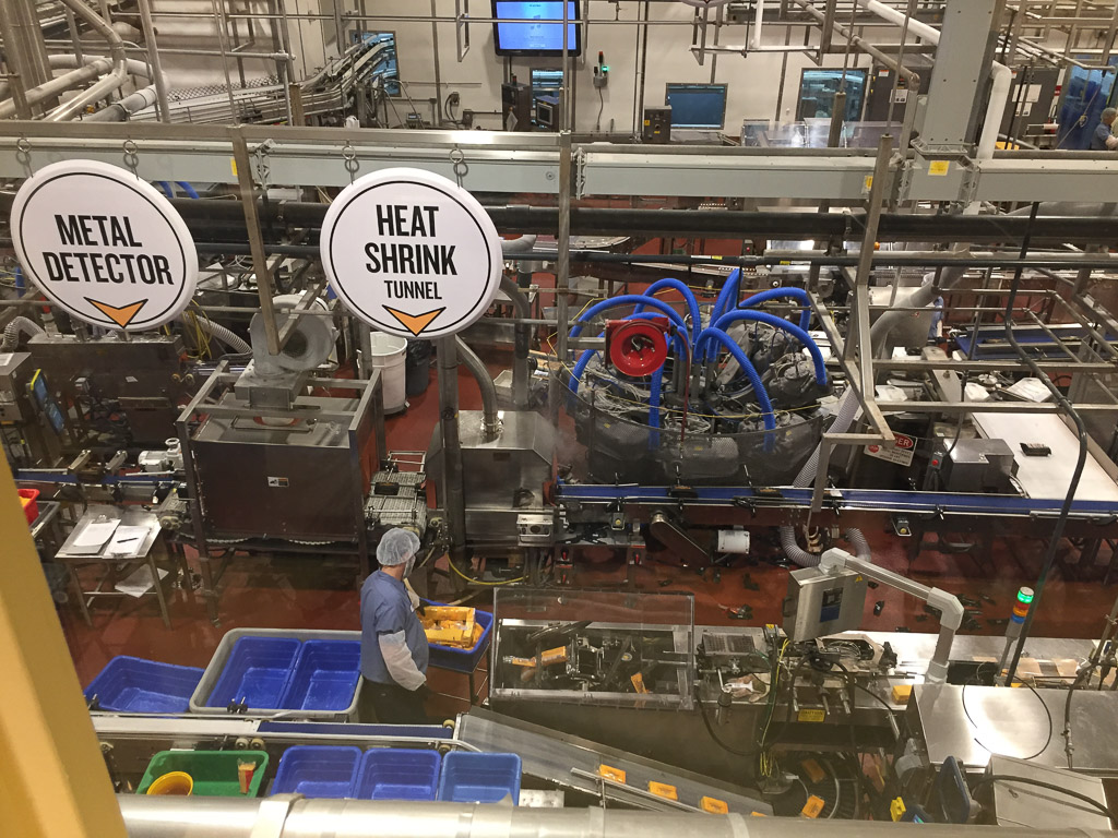
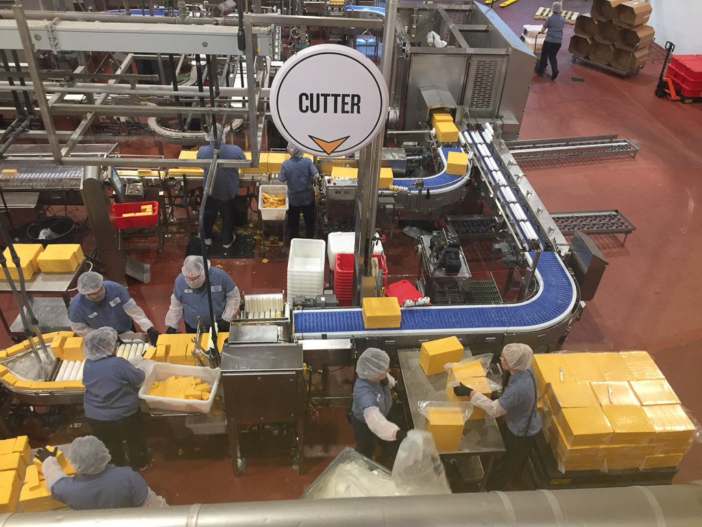
There is good signage to explain all the equipment and processes that you see. The tour ends at the cheese tasting area and of course a huge gift store.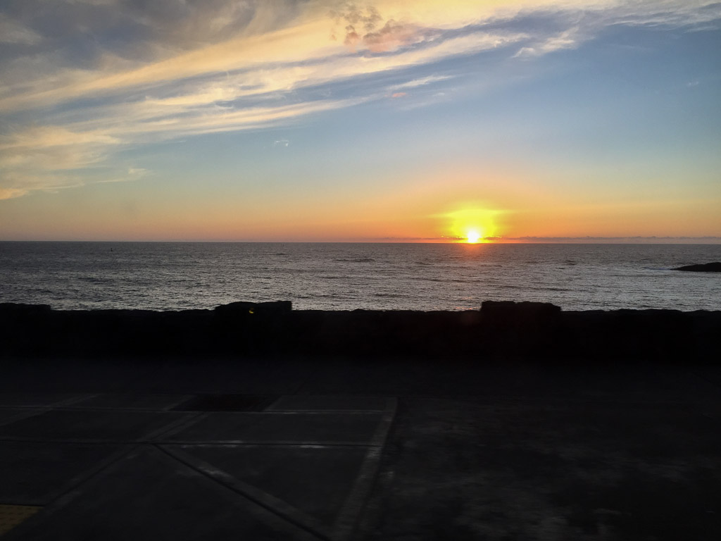 After the tour we got back in the truck and drove. We found a beachside (and highway-side) campground just after dark.
