Road Trip to Washington - Day 4
/There has been a lot going on since I wrote about Day 3 and now but I really want to finish up our Washington trip before I talk about Texas and the sheep and the farm.
In the last post I ended with a photo of us in the truck at night. 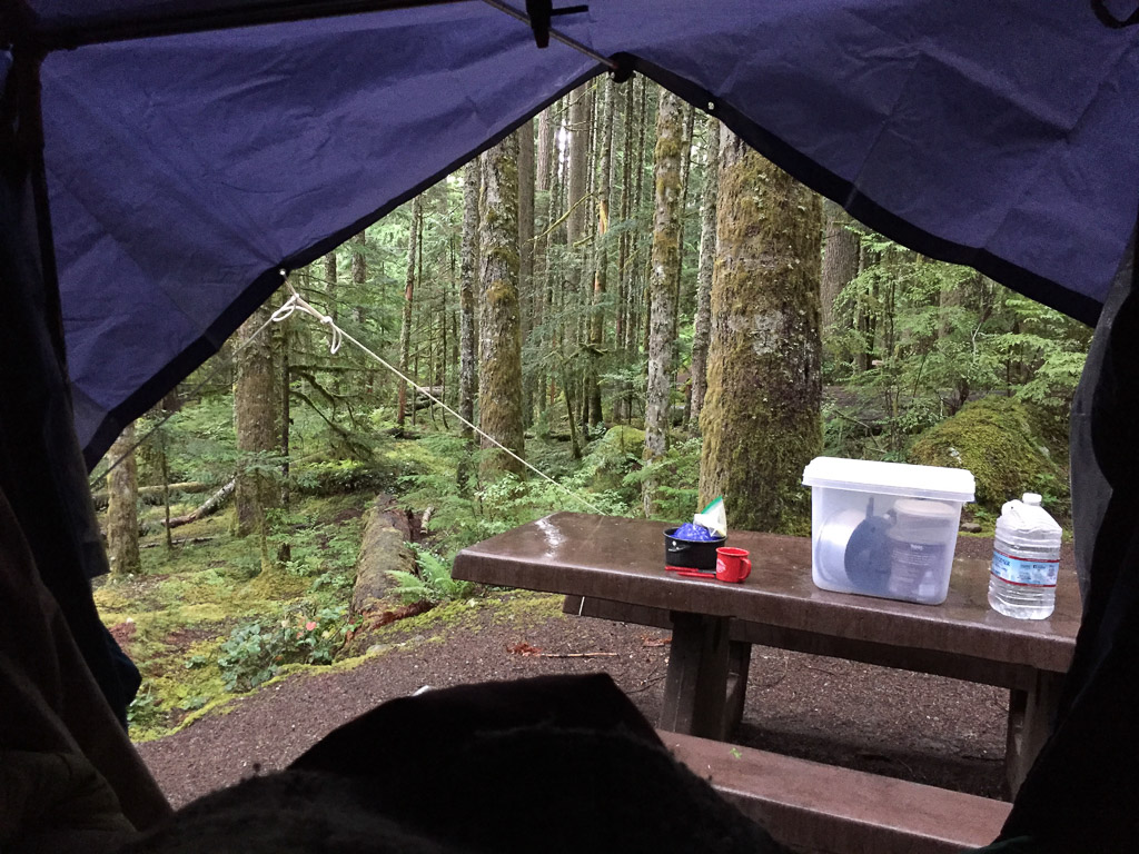 Here is the view from my sleeping bag the next morning.
 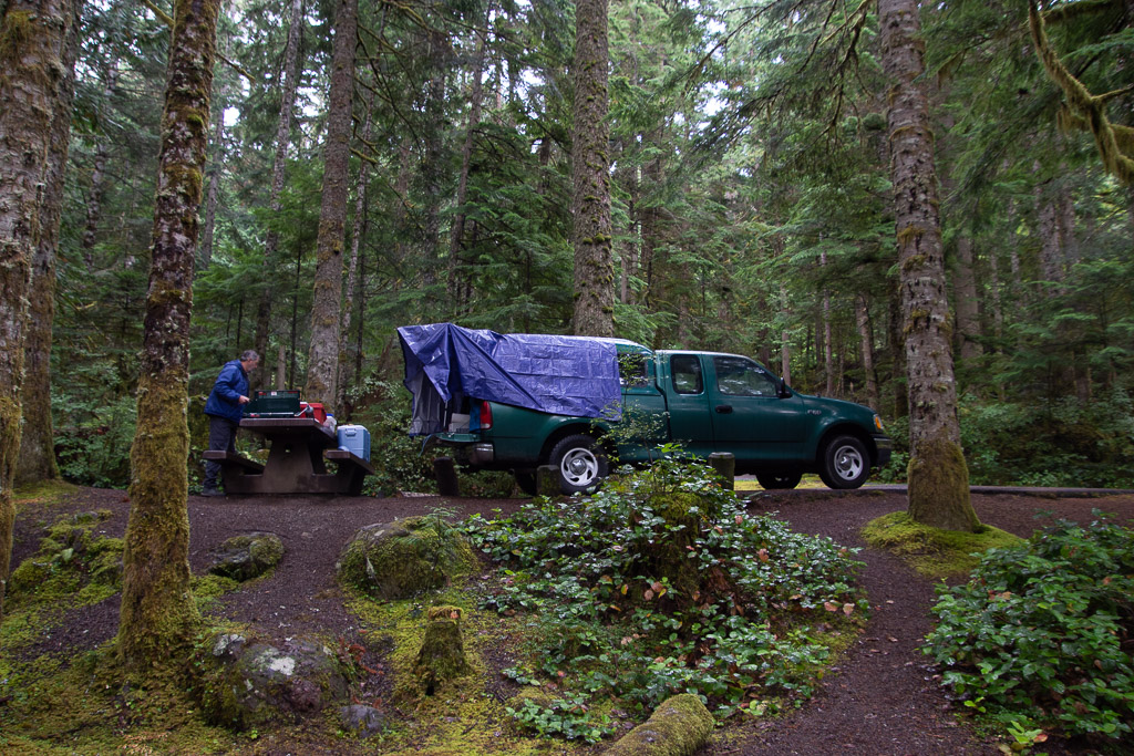 Later we wondered why we didn't buy a bigger tarp since then we could have covered the whole camper, although I wouldn't have liked not seeing out the side window. As it is there is some leakage around where the camper joins the truck bed and we had to make sure that our sleeping bags, clothes, etc didn't touch the edges or they'd soak up water.
After a quick breakfast (granola and hot chocolate for me and Cheerios and coffee for Dan) we drove further up the road to the Hurricane Ridge Visitor Center.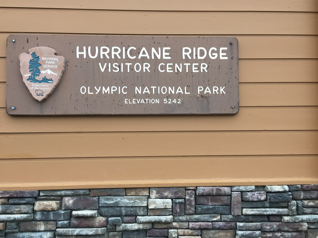 The name was a clue to the weather on the ridge.
 It was a wee bit
 breezy windy and cold. This view looks south into the Olympic Wilderness with Mount Olympus off to the right. The clouds kept moving but we never had a view of the peaks. We saw photos of this area in the summer--covered with wildflowers. I can imagine how gorgeous it is then. 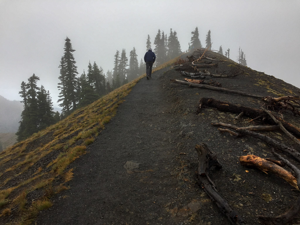 There is a trail from the Visitor Center to the top of the nearby ridge.
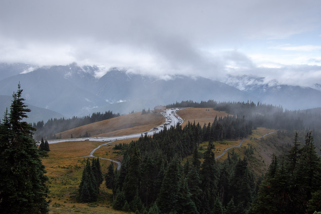 View looking down on the Visitor Center and Mt. Olympus in the clouds.
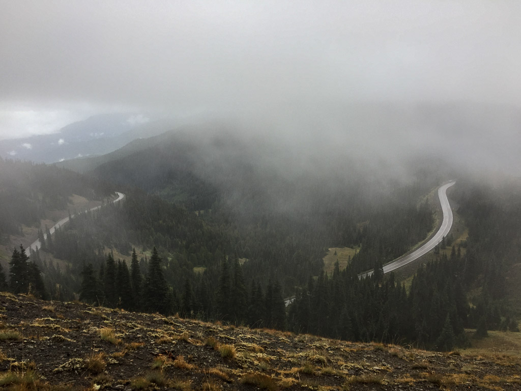 View to the other direction and the road to the Visitor Center.
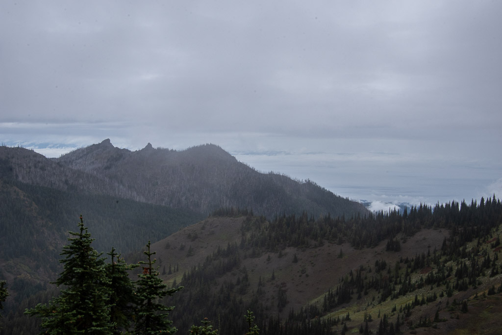 Walking along the ridge we tried to get a view of Canada. It's out there across the Strait of Juan de Fuca, but mostly in the clouds.
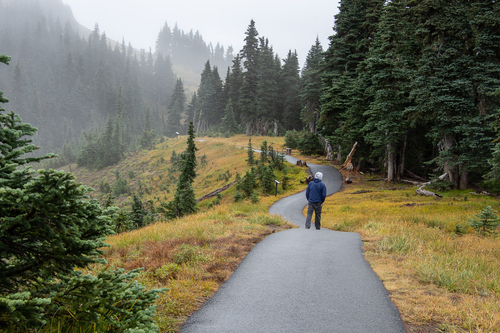 More views along the trail.
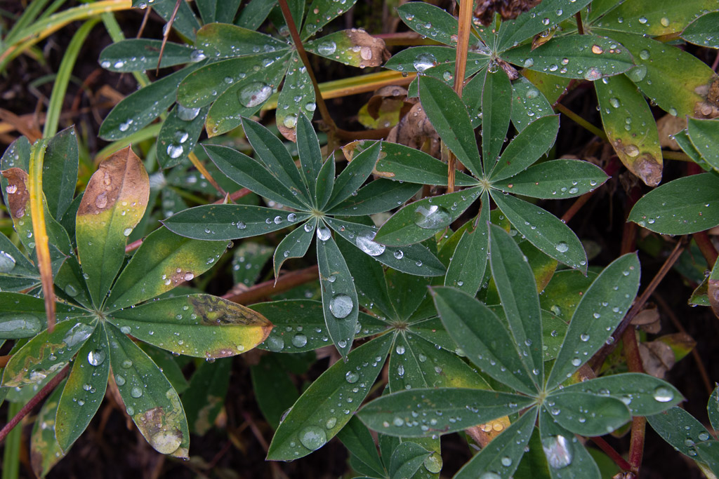
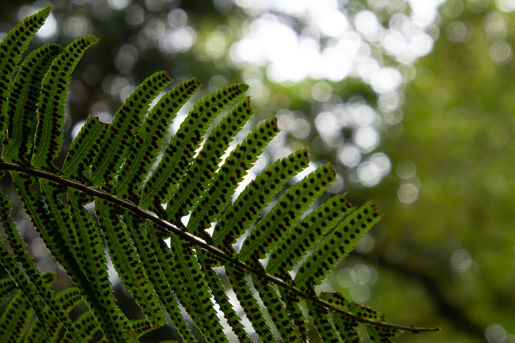
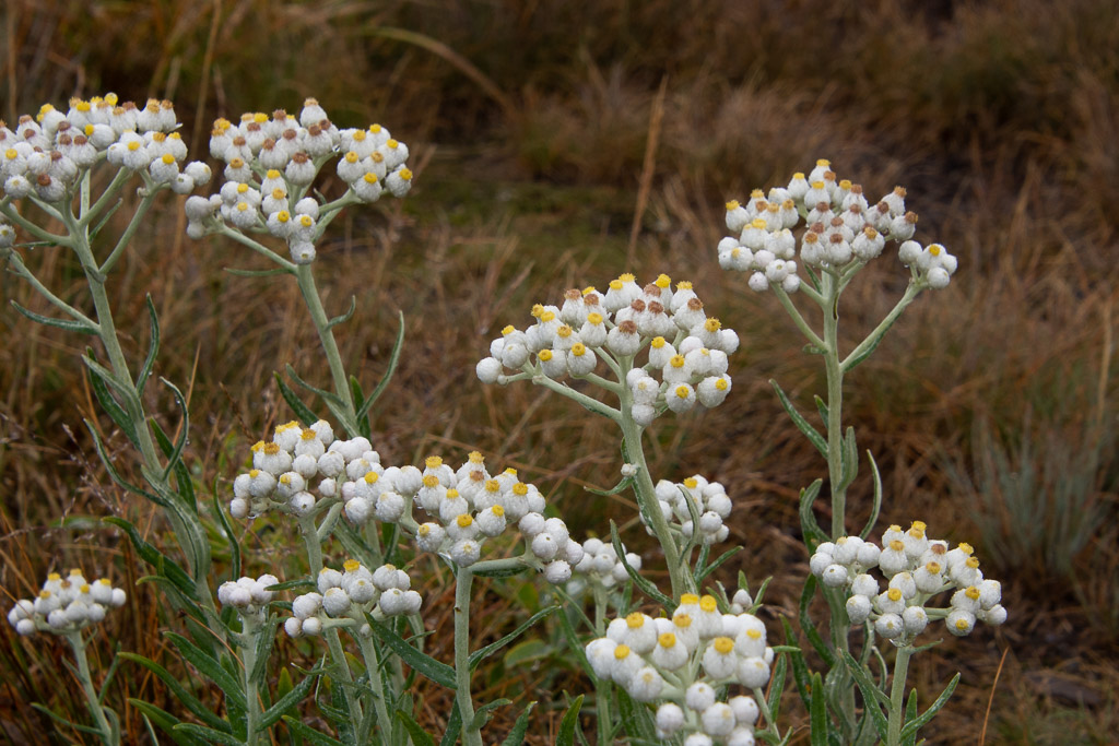 I admired these flowers blooming so late in the season. They are in the sunflower family: Pearly Everlasting.
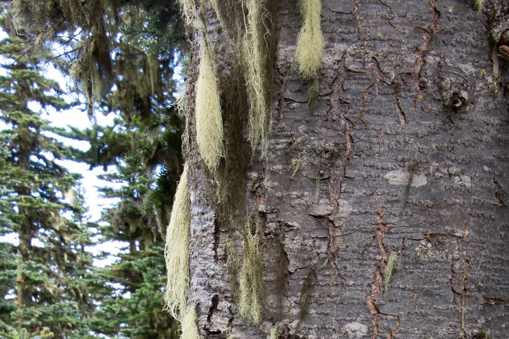 Goat's Beard lichen.
There are no roads that go all the way through the park. From Hurricane Ridge we needed to go out the way we came in before our next stop. The road goes through Port Angeles and we decided to make a stop for gloves. Why I didn't bring decent gloves I don't know. I guess, not having worn them all summer, I didn't know where they were, and it's hard to imagine cold and rain when it's 90 degrees and so dry, so I didn't look very hard. 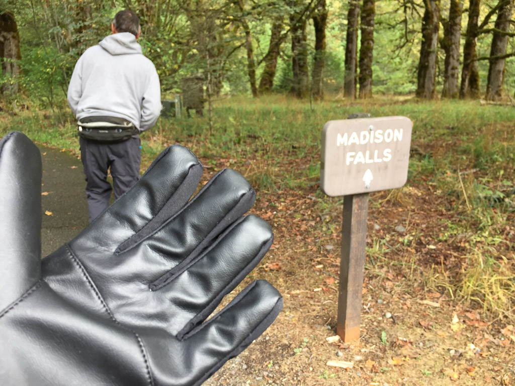 We both bought gloves. Next stop was Madison Falls at the edge of the Park near another road that follows the Elwha River.
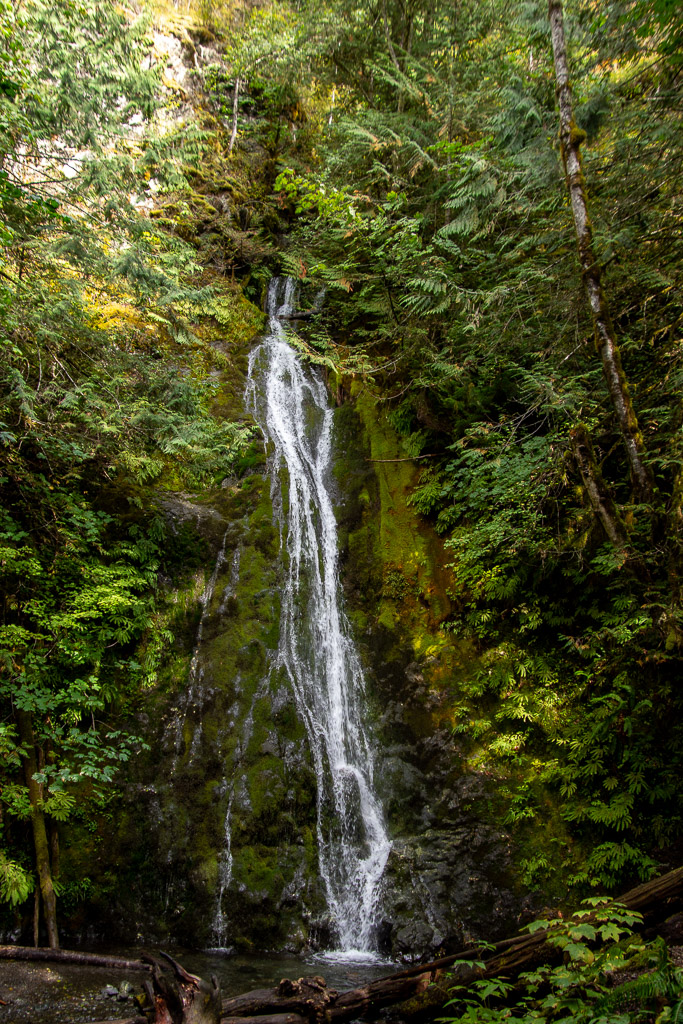 It is a short walk on a paved trail to see the falls.
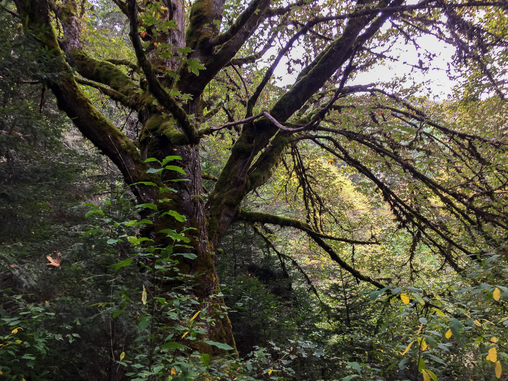
 At this point we were thinking about where we would stay that night. As on all of our trips there is always more to see than we have time for. This was Saturday and we needed to get home on Tuesday. That left Sunday and Monday for more time in the park with a long drive on Tuesday. The bulk of the Park takes up the northern part of the Olympic Peninsula but there is also private and tribal land along the northern coast, the far northwest corner of the state, and the western portion. I wanted to go to that farthest most point of the continental U.S. but we were going to run out of time to do that and spend time in the rainforest. There is a narrow sliver of land all along the Pacific coastline that is also part of the Olympic NP so we decided that we would camp there for the night. That decided, we stopped at the next waterfall on our Waterfall Map.
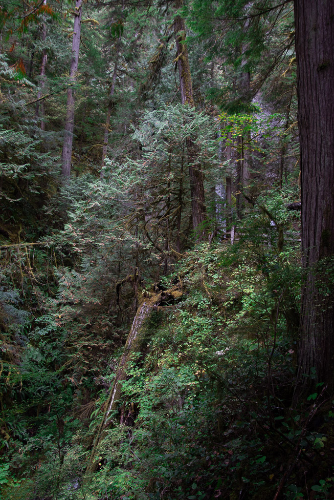 The trail to Marymere Falls was also within the Park.
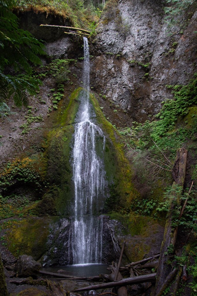 This waterfall is on Falls Creek and drops 90 feet. Take a look at the log at the top of the falls.
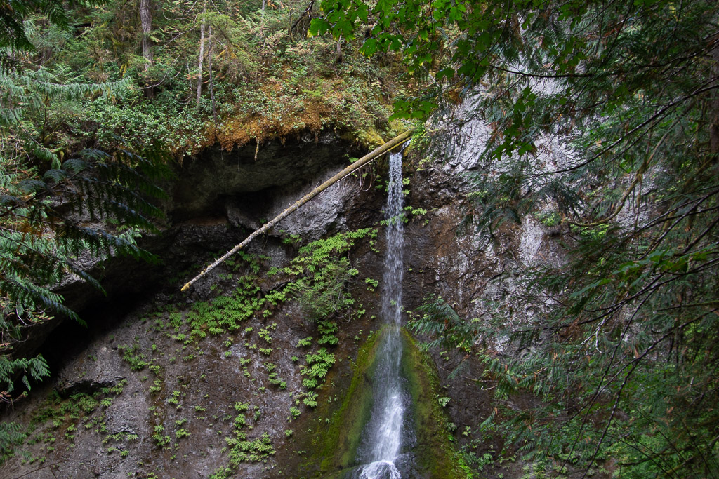 It made me think about the amount of water that must flow in this creek at times. That is a whole tree that is stuck at the top.
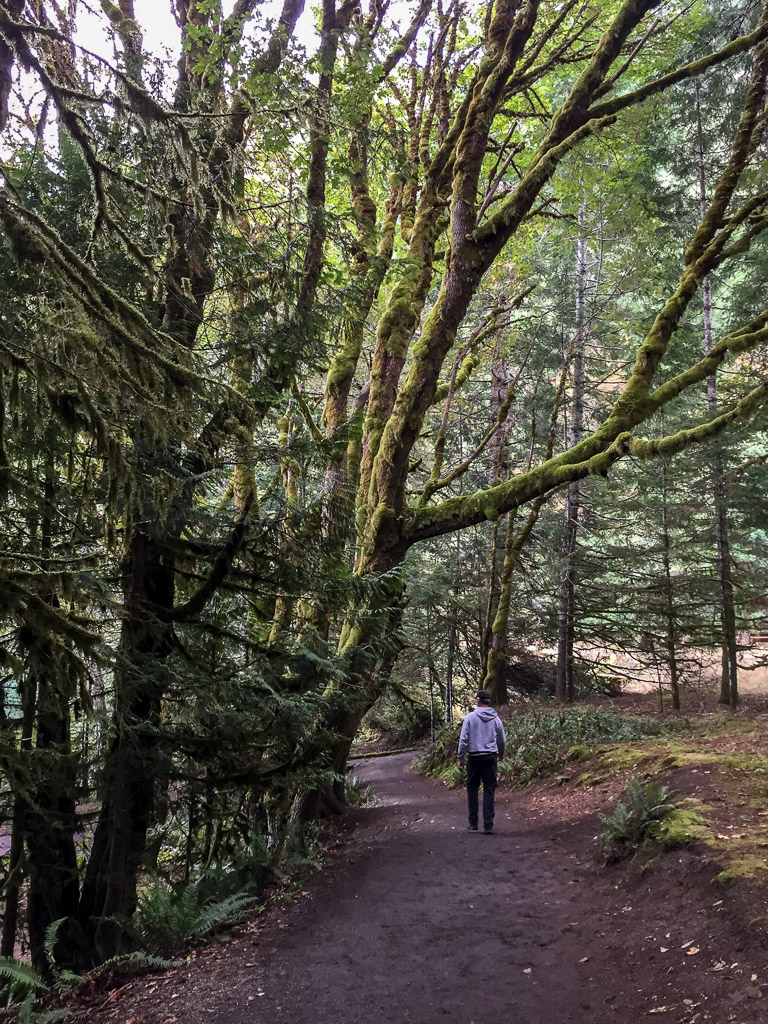 Magnificent trees.
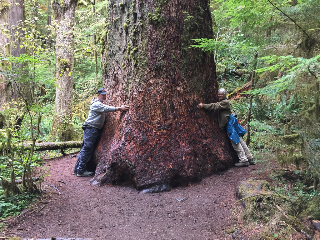 We were walking by this tree and I saw a young woman trying to prop her phone on the ground so that she and her friend could both be in a photo of this huge tree. I offered to take the photo and then she reciprocated.
We got to the coast late in the afternoon.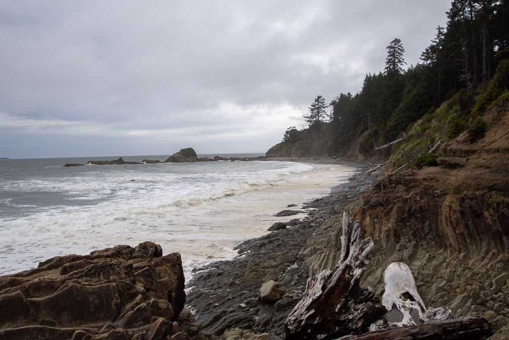 This was the first beach where we stopped. We drove south to find that the first campground was full. There was plenty of space in the other campgrounds where we stayed so we hadn't anticipated this. The beach. RV camping. Saturday night. None of the four beach campgrounds had campsites left.
When you're in the national forest you can camp anywhere, but the rules are different in the national park. And we do follow rules. Our plan was to see the rainforest part of the Park the next day so we didn't want to leave the area. Between the coast and the access point to the Park there was mostly Quinault Reservation land along the highway and we couldn't stop there. In studying the map I found some campsites in the Forest land to the north but it was getting late in the day and it was difficult to tell the condition of the roads. There was a sliver of Forest land that was accessible from 101 with Reservation land on one side of a USFS road and National Forest on the other. We took that road as it was getting to be dusk. The road went up...and up. We hit fog...or a cloud. The rain started. We were watching for small signs nailed to the trees that had arrows and indicated USFS or Reservation. You really couldn't see anything at that point. Just a narrow tunnel of a road in the bushes and trees. It rained harder. Eventually we turned around and went back down to where there was a wide spot on the road. We put the tarp on top of the truck, ate a hasty dinner (more canned beans), and got into sleeping bags.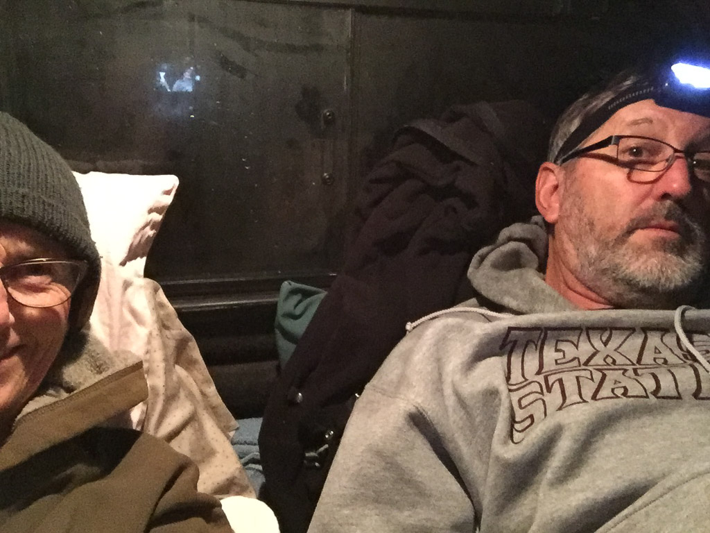 Saturday night lodging.
